The best road cycling routes around Altena
4.4
(223)
4,184
riders
101
rides
Road cycling routes around Altena traverse a landscape characterized by its river valleys and varied terrain. The region offers a mix of flat sections along waterways and more undulating paths through agricultural areas. Road cyclists can expect well-maintained surfaces, with routes often connecting historical towns and natural features. The area provides options for different fitness levels, from leisurely rides to more challenging distances.
Best road cycling routes around Altena
- The most popular road cycling route is Tour of Biesbosch and…
Last updated: July 19, 2026
4.7
(9)
155
riders
74.6km
03:12
70m
70m
Moderate road ride. Good fitness required. Some segments of this route may be unpaved and difficult to ride.
4.2
(19)
395
riders
52.8km
02:11
60m
60m
Moderate road ride. Good fitness required. Mostly well-paved surfaces and easy to ride.

Sign up for free
4.6
(95)
596
riders
Easy road ride. Great for any fitness level. Mostly well-paved surfaces and easy to ride.
4.5
(4)
182
riders
Moderate road ride. Good fitness required. Mostly well-paved surfaces and easy to ride.
4.3
(3)
167
riders
54.2km
02:15
70m
70m
Moderate road ride. Good fitness required. Mostly well-paved surfaces and easy to ride.
Get access to more routes and recommendations from other explorers.
Sign up for free
Already have an account?
Our route recommendations are based on thousands of hikes, rides, and runs completed by other people on komoot.
Start today with a free account
Your next adventure awaits.
Login or Signup
Popular around Altena
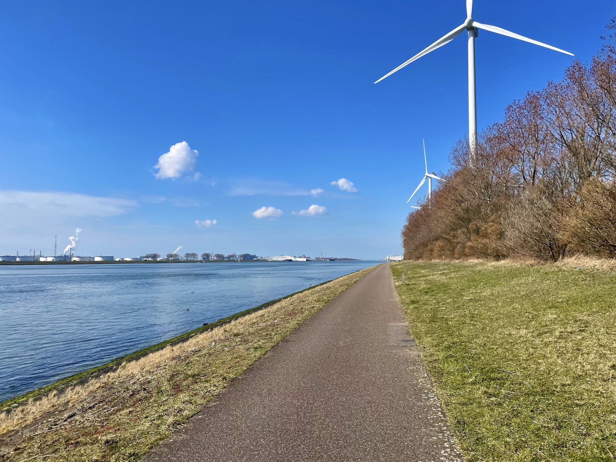
The Meuse Cycle Route - Follow the Meuse from the hills to the harbor
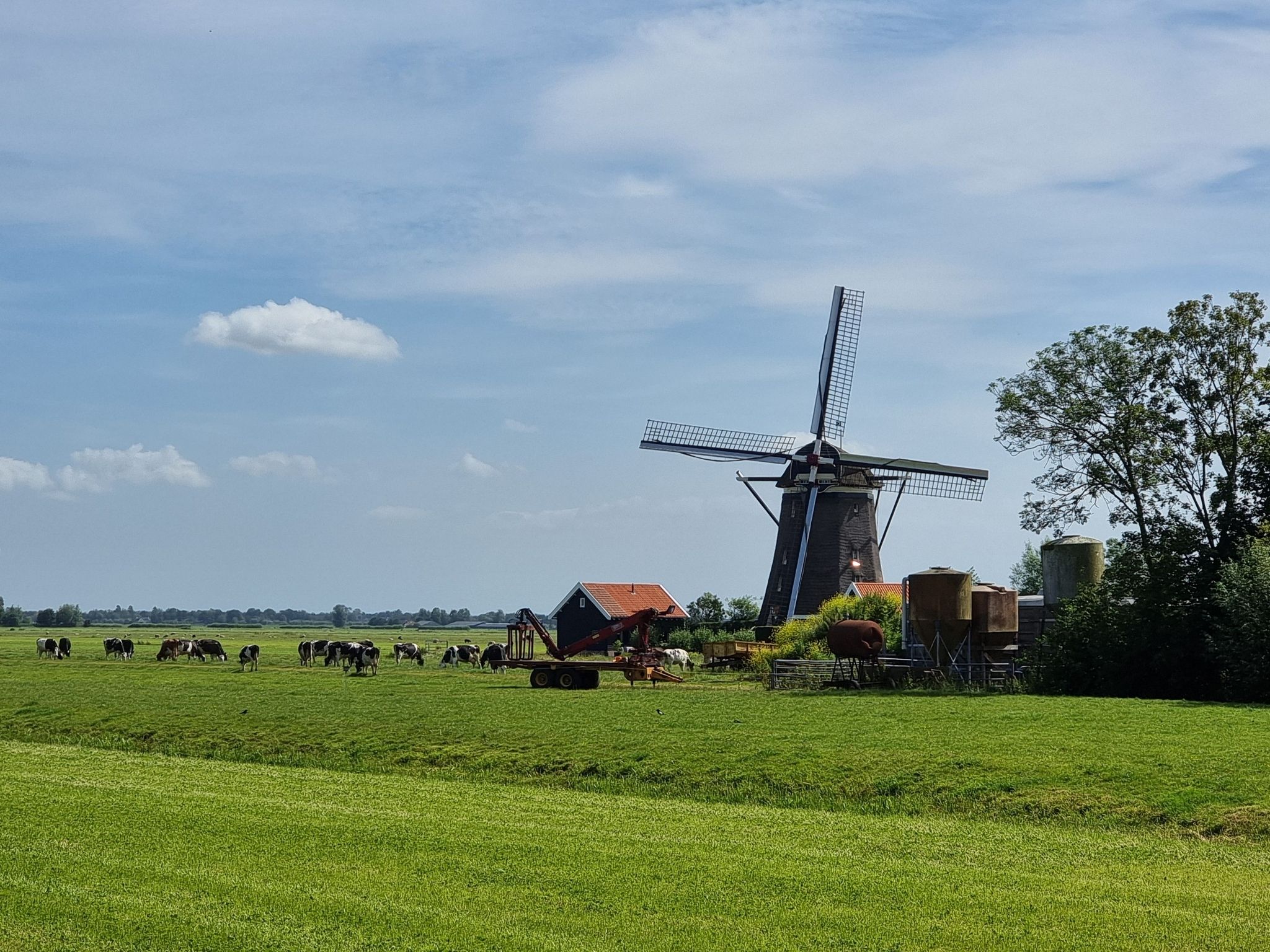
Pilgrim Trail (LAW 7-1) - Through idyllic villages and vast polders
The Meuse Cycle Route - Follow the Meuse from the hills to the harbor
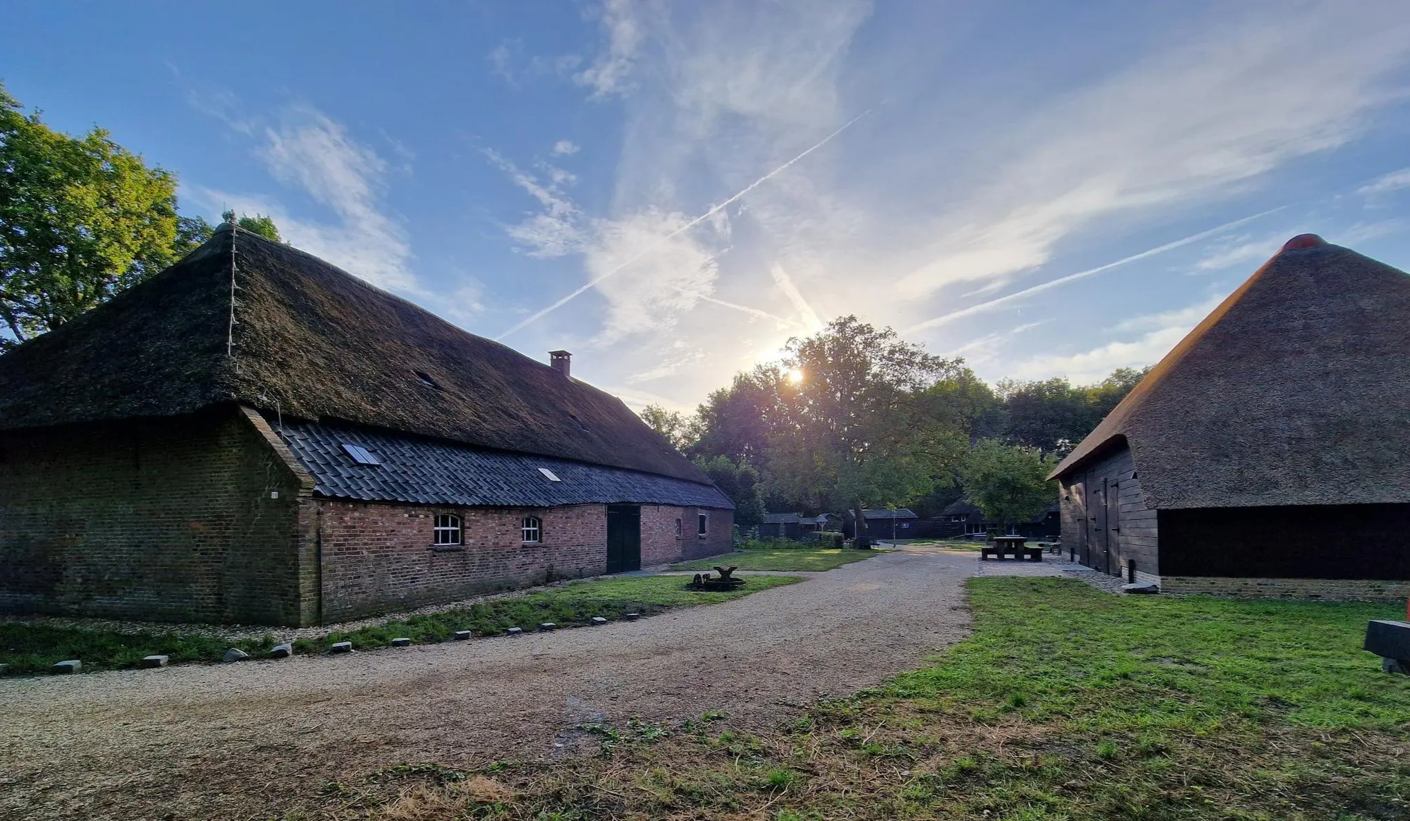
Four versatile Brabant – Nature camping route Noord-Brabant
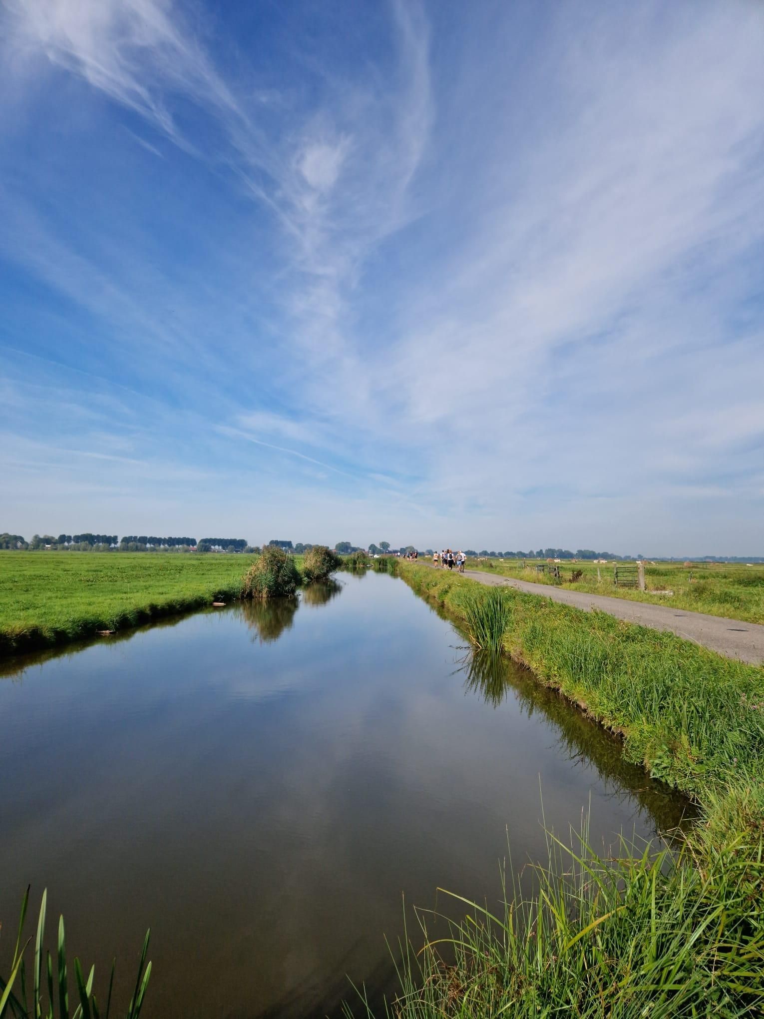
Below the waterline of the Sint-Elisabethsvloed – Biesboschpad
Bourgondisch Brabant - 20 tasty nature walks
History and Nature – walking the Waterliniepad
Cycle through water-rich Holland along the sea – LF9 NAP Route
Amsterdam to 's-Hertogenbosch – Pilgrims’ Path part 1
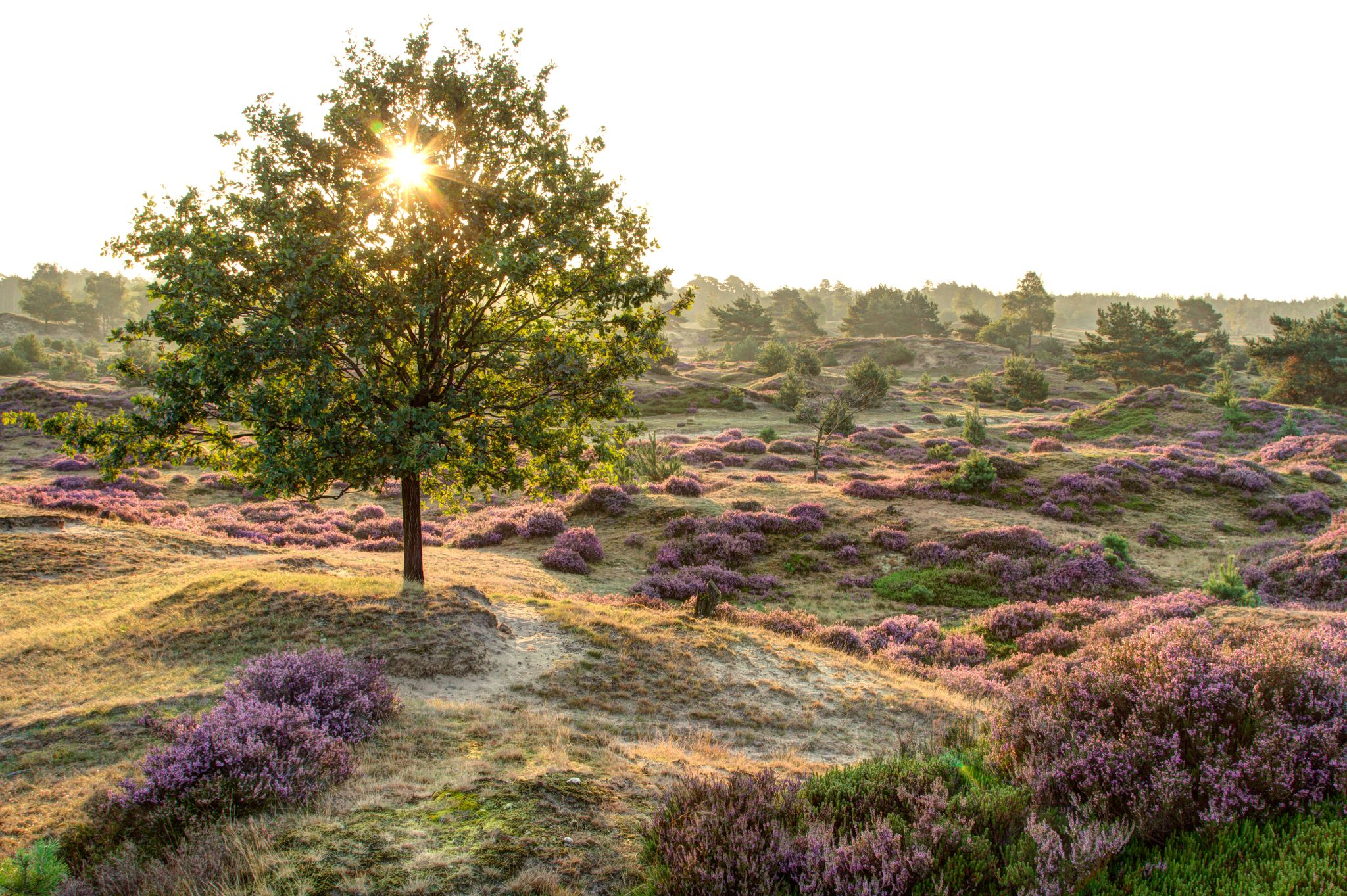
A complete hiking bucket list through every Dutch National Park
Other adventures around Altena


Tips from the Community

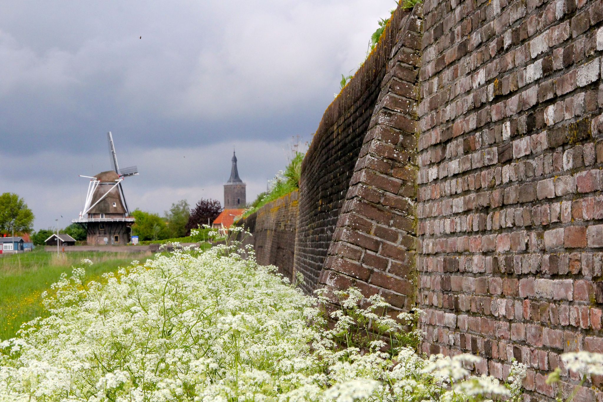
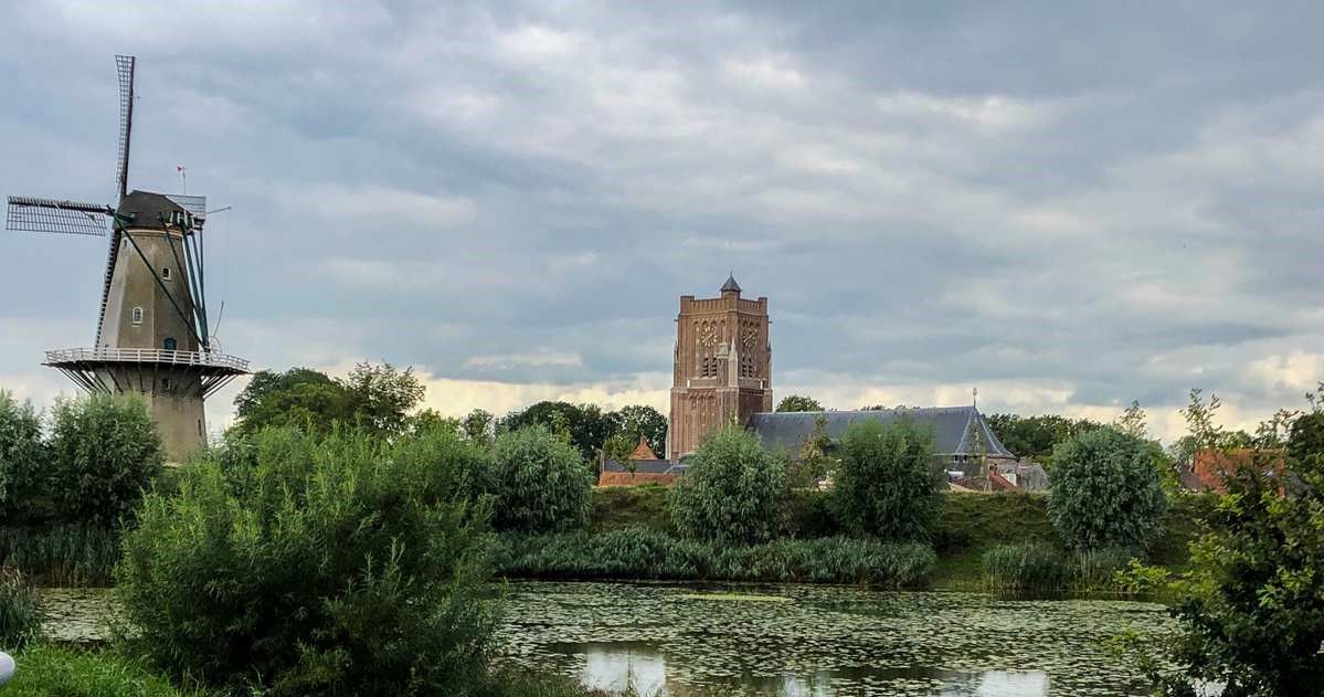
Unfortunately, on the day I passed through Oud Woudrichem, I had to go a few more miles. I would have liked to invest more time to explore this great fortress town and its historic harbor... Anyone passing through here should plan for at least 2-3 hours stay.
0
0

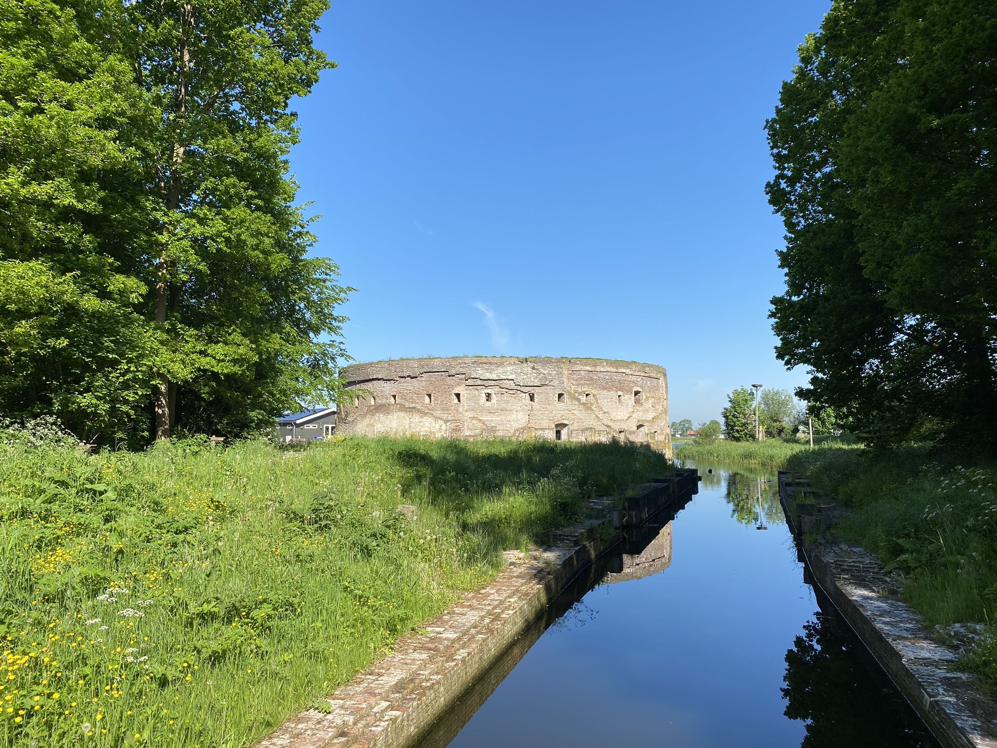
This beautiful historic lock has regulated the water flow between the Drongelens Canal and the polders between Vlijmen and 's-Hertogenbosch for over a century. During high water, the lock ensures we stay dry, while during dry weather, it allows water to flow into the area beyond. A true gem in the field of water management. The lock has been completely renovated and reopened on April 10, 2025. Thanks to the restoration, the lock can continue to play an important role in the future. When the water level in the Drongelens Canal rises, the lock is closed manually to prevent flooding. This last happened at the end of 2023, during high water. This prevented high water from flowing from the canal into the polders south of Vlijmen. During drier periods, this inlet system ensures that these polders are supplied with water. Water from the Drongelens Canal fills the ditches and streams. Source: www.aaenmaas.nl
1
0

This electric pumping station was commissioned in 1936 by then-dike reeve H.C. de Jongh. Two memorial plaques on the pumping station commemorate the two previous (steam) pumping stations. The pumping station was modernized in 1998. Today, it is controlled by a computer in Druten.
0
0

A very beautiful fortified town
1
0
Measure the water level.
1
0

Watch out for the finger, this is the maximum height the water can reach before the Zaltbommers get wet feet🤔
1
0


Frequently Asked Questions
How many road cycling routes are available around Altena on komoot?
There are over 100 road cycling routes around Altena available on komoot, offering a diverse range of options for different fitness levels. You'll find everything from easy, leisurely rides to more challenging tours.
What kind of terrain can I expect when road cycling in Altena?
Altena's road cycling terrain is characterized by its scenic river valleys, particularly along the Lenne, and undulating paths through agricultural areas. While some routes utilize relatively flat old railway lines, the broader Sauerland region means you can also expect hilly sections and extensive woodlands. Surfaces are generally well-maintained, connecting historical towns and natural features.
Are there road cycling routes suitable for beginners or families in Altena?
Yes, Altena offers numerous easy road cycling routes, with 78 classified as such on komoot. These often follow river valleys or old railway lines, providing relatively flat and enjoyable paths. For example, the Poederoijen Dike Route – Kromme Nol Flood Barrier loop from Woudrichem is an easy option that follows dikes with scenic river views.
What are some challenging road cycling routes for experienced riders in Altena?
For experienced riders seeking a challenge, Altena's hilly terrain within the Sauerland region provides routes with significant elevation gains. While only one route is classified as difficult, many moderate routes offer substantial distances and climbs. The Tour of Biesbosch and Land of Altena, for instance, is a moderate 74.6 km route that explores diverse landscapes.
What interesting landmarks or attractions can I see along road cycling routes in Altena?
Road cycling routes around Altena often pass by historical structures and natural beauty. You can explore sites like Well Castle, or enjoy the natural landscapes of De Biesbosch National Park. Other highlights include Loevenstein Castle and the Gorinchem Canals, providing picturesque stops during your ride.
Are there any loop road cycling routes around Altena?
Yes, many road cycling routes around Altena are designed as loops, allowing you to start and finish at the same point. Examples include the Well Castle – Oude Stuw Drawbridge loop from Wijk en Aalburg, which takes you through riverine scenery and past historical structures, and the Poederoijen Dike Route – Kromme Nol Flood Barrier loop from Woudrichem.
What is the best time of year for road cycling in Altena?
The spring, summer, and early autumn months generally offer the best conditions for road cycling in Altena. During these seasons, the weather is typically mild, and the natural landscapes, including the Lenne river valley and extensive forests, are at their most vibrant. Winter cycling might be possible but could involve colder temperatures and potentially less favorable road conditions.
How do other cyclists rate the road cycling experience in Altena?
The road cycling experience in Altena is highly regarded by the komoot community, with an average rating of 4.4 out of 5 stars from nearly 200 reviews. Over 3,900 road cyclists have explored the area using komoot, often praising the diverse terrain, well-maintained surfaces, and the blend of natural beauty with historical sights.
Is it possible to access road cycling routes in Altena using public transport?
While specific public transport connections to every trailhead are not detailed, Altena is situated in a region with various transport options. For detailed information on public transport routes and schedules that might connect to cycling starting points, it's advisable to check local transport provider websites.
Where can I find parking for road cycling routes in Altena?
Parking availability for road cycling routes in Altena can vary depending on the specific starting point. Many routes begin near towns or villages where public parking is often available. For routes starting from specific attractions or natural areas, dedicated parking facilities may be provided. It's recommended to check the route details on komoot for specific parking suggestions near your chosen starting point.
Are there any long-distance road cycling routes that pass through or near Altena?
Yes, the region around Altena is part of a broader network that includes longer cycling paths. While not exclusively road cycling, sections of the SauerlandRadring, partly built on former railway tracks, offer extensive cycling pleasure. Some routes, like the Tour of Biesbosch and Land of Altena, provide significant distances (74.6 km) suitable for longer rides.
Are there road cycling routes that offer views of Altena Castle?
Altena Castle, perched on the Wulfsegge hill, is a prominent landmark in the region. While specific komoot routes directly featuring the castle as a primary viewpoint are not listed in the top routes, many local loops in the vicinity of Altena will offer glimpses or panoramic views of the castle as you cycle through the Lenne river valley and surrounding hills. The castle itself offers magnificent views of the surrounding area.
Most popular attractions around Altena

Get inspired with the komoot mobile app


Explore more
Browse the best Road cycling routes in other regions.
