The best mountain hikes around Oberaarsee
4.8
(23)
92
hikers
7
hikes
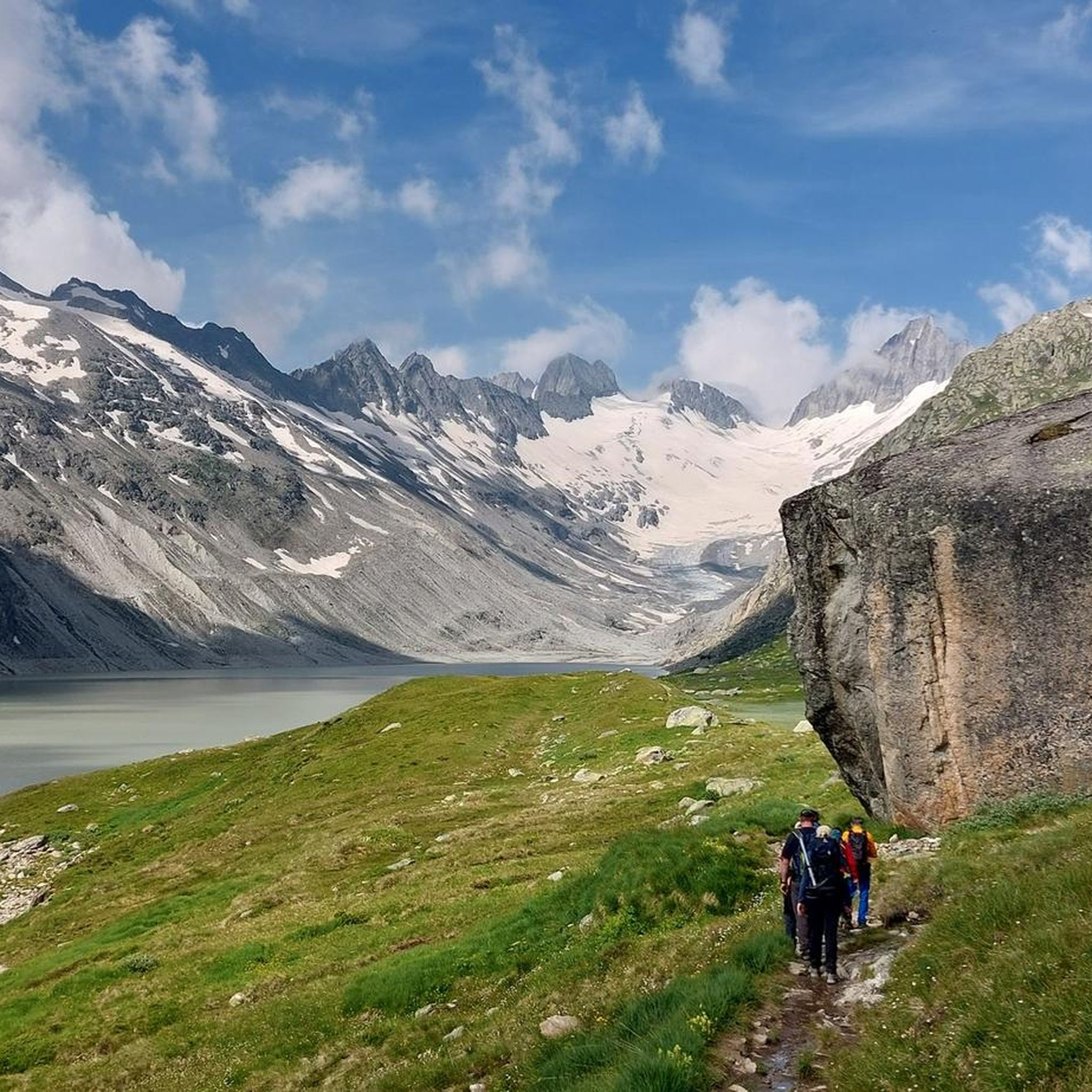
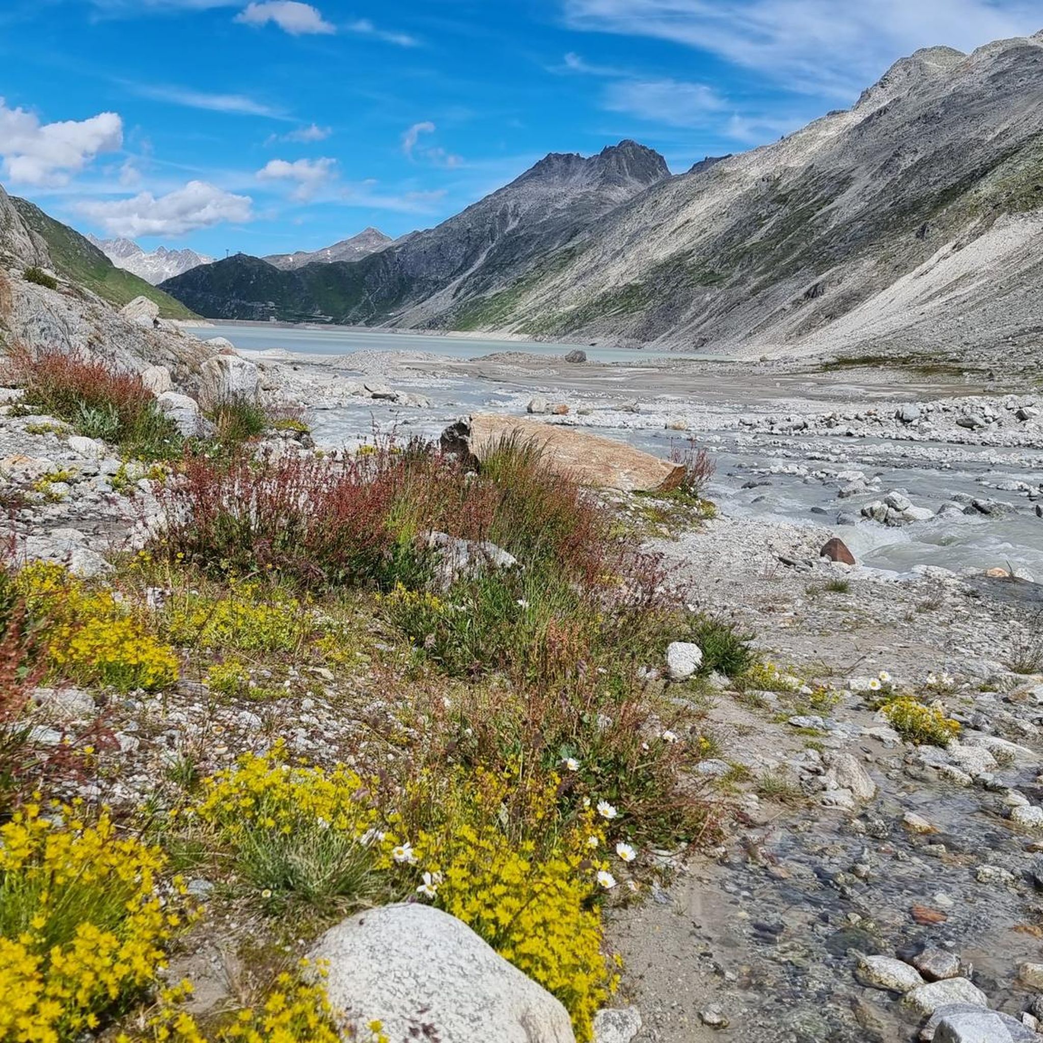
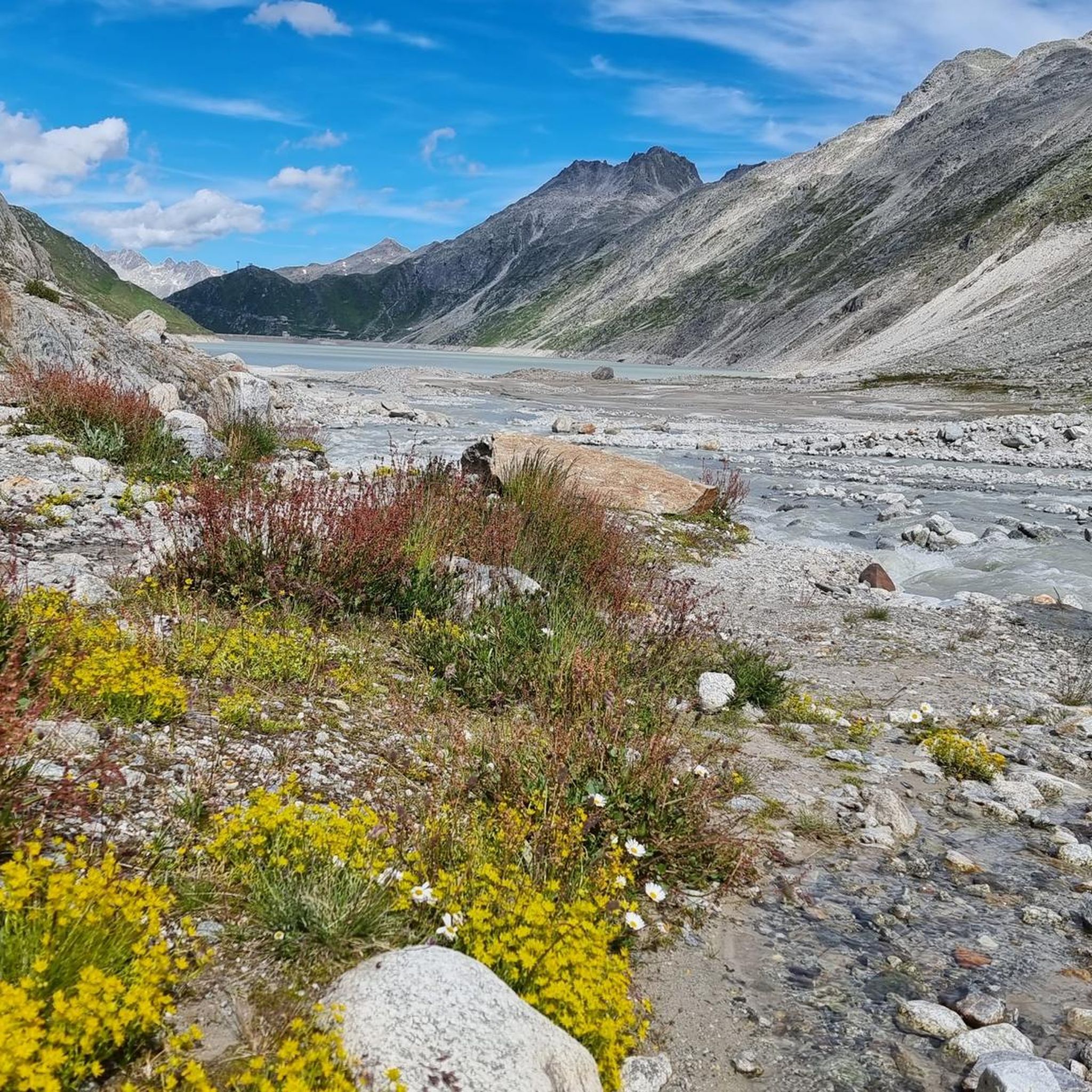
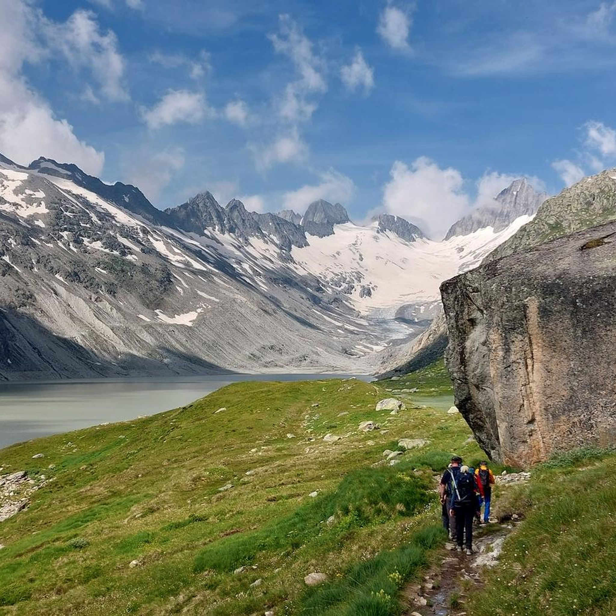
Mountaineering routes around Oberaarsee are set within a high-alpine environment in the Grimsel area of Switzerland. This region is characterized by majestic mountains, expansive glaciers, and a distinctive granite and lake landscape. The Oberaarsee, a hydroelectric reservoir, is fed by the impressive Oberaar Glacier, from which the Aare River originates. Prominent peaks such as the Finsteraarhorn and Oberaarhorn define the dramatic scenery of the Bernese Alps.
Best mountaineering routes around Oberaarsee
- The most popular mountaineering route is Grimsel Pass –…
Last updated: October 28, 2026
5.0
(1)
12
hikers
6.35km
03:16
540m
540m
Hard mountaineering route. Good fitness required. Sure-footedness, sturdy shoes and alpine experience required.
4.0
(2)
5
hikers
10.8km
05:06
730m
730m
Hard mountaineering route. Very good fitness required. Sure-footedness, sturdy shoes and alpine experience required.

4.6
(10)
39
hikers
13.1km
05:44
590m
590m
Hard mountaineering route. Very good fitness required. Sure-footedness, sturdy shoes and alpine experience required.
5.0
(7)
21
hikers
7.73km
03:28
370m
370m
Hard mountaineering route. Good fitness required. Sure-footedness, sturdy shoes and alpine experience required.
5.0
(2)
9
hikers
8.42km
03:56
460m
460m
Hard mountaineering route. Good fitness required. Sure-footedness, sturdy shoes and alpine experience required.
Get access to more routes and recommendations from other explorers.
Already have an account?
Our route recommendations are based on thousands of hikes, rides, and runs completed by other people on komoot.
Start today with a free account
Your next adventure awaits.


Tips from the Community


The Sidelhorn is a 2764 m high mountain in the Bernese Alps massif in Switzerland. It lies on the border of the cantons of Valais and Bern and on the European main watershed. https://de.m.wikipedia.org/wiki/Sidelhorn
4
0

In foggy weather you can't sunbathe, but it is still worth seeing and definitely worth a visit.
0
0
You should bring sturdy shoes and surefootedness. If it rains, hiking poles are highly recommended.
0
0
Sturdy shoes and surefootedness are recommended. Hiking poles would be ideal.
0
0

The path consists of large stones that serve as steps. They are of different heights and widths and the path is narrow in places and goes steeply downhill.
0
0

The Grimsel offers a very respectable difference in altitude, particularly from Innertkirchen, spectacular views in the upper third and a beautiful pass - definitely worth a ride. If you can, we recommend riding in the morning hours, the sunrise at the top of the pass is something very special.
4
0
The path is an old trade route and is mostly easy to walk!
0
0
Frequently Asked Questions
What kind of mountaineering routes can I expect around Oberaarsee?
The Oberaarsee region offers a high-alpine environment characterized by majestic mountains, expansive glaciers, and a distinctive granite and lake landscape. You'll find challenging routes suitable for experienced mountaineers, often involving glacier travel and steep ascents. The area is part of the Bernese Alps, known for its dramatic scenery.
Are there any circular mountaineering routes in the Oberaarsee area?
Yes, there are several circular routes available. For example, the Grimsel Pass – Sidelhorn Summit loop from Grimselpass is a challenging 6.4 km route. Another option is the Thousand Steps Trail – Gelmersee loop from Gelmersee, which covers 13.1 km through varied mountain terrain.
What are the difficulty levels of mountaineering routes near Oberaarsee?
Most mountaineering routes in the Oberaarsee area are classified as difficult, reflecting the high-alpine environment and challenging terrain. Out of the 8 routes listed, 7 are difficult, with one moderate option. These routes often require good physical condition and alpine experience.
What are some notable natural features or landmarks to see while mountaineering in Oberaarsee?
The region is rich in natural beauty. You'll encounter the stunning Oberaarsee itself, fed by the impressive Oberaar Glacier, from which the Aare River originates. The landscape features prominent peaks like the Finsteraarhorn and Oberaarhorn, as well as other high-altitude lakes such as Grimselsee and Triebteseewli. The granite formations are also a distinctive feature of the area.
Is there public transport available to reach the trailheads around Oberaarsee?
Access to the Oberaarsee region is primarily via the Grimsel Pass. While specific public transport details to individual trailheads are not provided, the Grimsel Hospiz serves as a significant hub for accessing the area. From there, you can often find connections or start points for various routes.
What is the best time of year for mountaineering in Oberaarsee?
The high-alpine environment of Oberaarsee means that mountaineering is typically best undertaken during the warmer months, generally from late spring to early autumn, when snow conditions are more stable and access is clearer. Always check local weather and snow conditions before planning your trip, as the season can vary.
Are there any places to stay or get refreshments near the mountaineering routes?
Yes, the Berghaus Oberaar, located near the Oberaar dam, offers refreshments and sometimes overnight stays, providing a convenient base. Additionally, the historic Alpine Hotel Grimsel Hospiz is a significant hub in the region, offering accommodation and services.
What do other mountaineers say about the routes in Oberaarsee?
The mountaineering routes in Oberaarsee are highly rated by the komoot community, with an average score of 4.8 stars from over 19 reviews. Mountaineers often praise the challenging high-alpine environment, the dramatic scenery of the Bernese Alps, and the unique granite and glacier landscapes.
Can I drive to the Oberaarsee dam?
Yes, there is a scenic, one-way, toll road called Panoramastrasse Oberaar that offers a dramatic drive from the Grimsel Pass directly to the Oberaar dam and the Berghaus Oberaar. This road operates with timed access due to its narrow, twisting sections.
Are there any easier hiking options in the Oberaarsee area for less experienced visitors?
While most mountaineering routes are difficult, the broader Oberaarsee area does offer some less demanding hiking opportunities. For instance, a relatively easy hike (approx. 7 km round trip) leads from the Berghaus Oberaar along the northern shore of the Oberaarsee to the foot of the glacier, offering views of mountain lakes and wildlife.
How many mountaineering routes are there in the Oberaarsee region?
There are currently 8 mountaineering routes listed in the Oberaarsee region, with the majority being classified as difficult, catering to experienced alpine enthusiasts.
Are there any routes that offer views of the Gelmersee?
Yes, the View of Gelmersee – Gelmersee loop from Räterichsbodensee is a difficult 7.6 km mountaineering route that provides views of the Gelmersee and its surroundings.
Most popular routes around Oberaarsee

Get inspired with the komoot mobile app


Explore more
Browse the best Mountain Hikes & Routes in other regions.
