The best MTB trails around Lake Robiei
4.6
(83)
811
riders
9
rides
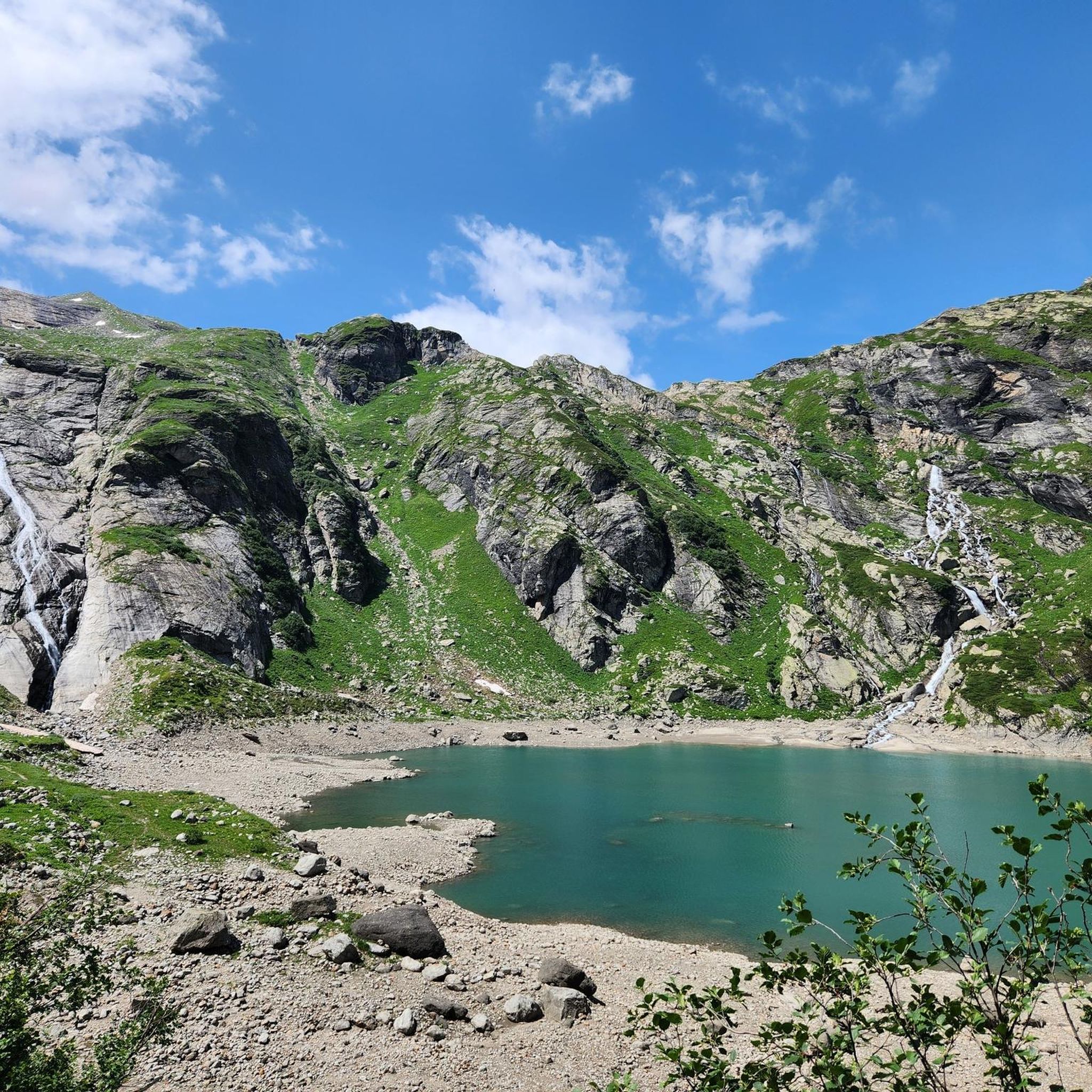
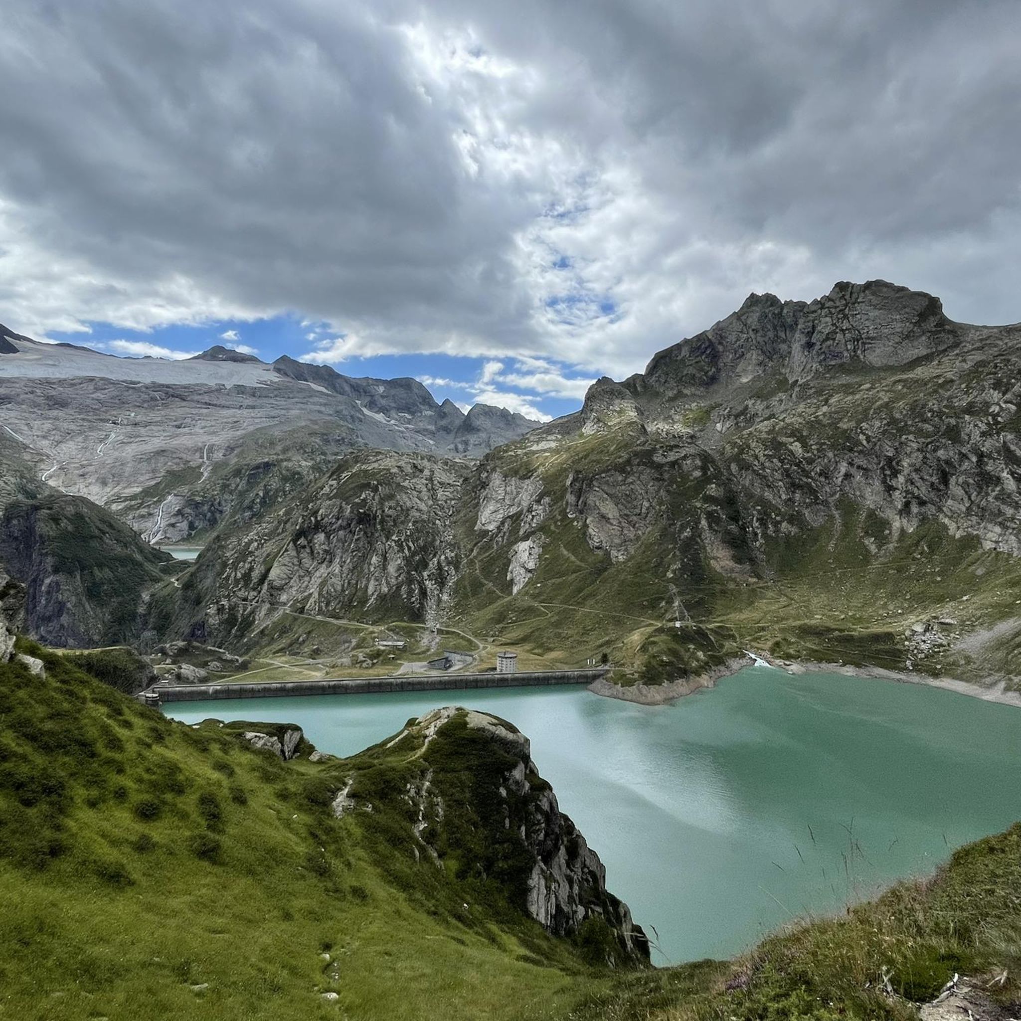
Mountain biking around Lake Robiei offers a challenging experience within a high-alpine environment. The region is characterized by grand granite and gneiss formations, showcasing a rugged landscape. The Basodino Glacier, Ticino's most significant glacier, provides a striking backdrop. The Val Bavona, where Lake Robiei is situated, features boulders and rock walls, contributing to the wild nature of the trails.
Best mountain bike trails around Lake Robiei
- The most popular mountain bike trail is Il rifugio Maria Luisa e il Lago…
Last updated: August 7, 2026
4.8
(5)
32
riders
28.4km
03:16
1,020m
1,020m
Hard mountain bike ride. Very good fitness required. Advanced riding skills necessary.
4.9
(7)
115
riders
67.7km
08:17
2,770m
2,770m
Hard mountain bike ride. Very good fitness required. Advanced riding skills necessary. Some portions of the route may require you to push your bike.

Sign up for free
4.6
(11)
70
riders
43.9km
05:06
1,600m
1,600m
Hard mountain bike ride. Very good fitness required. Advanced riding skills necessary. Some portions of the route may require you to push your bike.
10
riders
22.1km
02:06
870m
870m
Hard mountain bike ride. Good fitness required. Advanced riding skills necessary. Some portions of the route may require you to push your bike.
5.0
(2)
47
riders
44.8km
05:12
1,890m
1,890m
Hard mountain bike ride. Very good fitness required. Advanced riding skills necessary. Some portions of the route may require you to push your bike.
Get access to more routes and recommendations from other explorers.
Sign up for free
Already have an account?
Our route recommendations are based on thousands of hikes, rides, and runs completed by other people on komoot.
Start today with a free account
Your next adventure awaits.
Login or Signup

Tips from the Community

Done in gravel bike with 40mm tyres. Steep enough to enjoy pedalling up and riding down.
0
0

On the Obergoms side of the Nufenen Pass, the road winds its way up and down the slope over ten hairpin bends. From the second-to-last bend before the pass, a gravel road leads across to the Griessee reservoir. From here you can enjoy a last view of the valley before dropping into the S2 trail. This zigzags down a mountain ridge quite steeply, requiring maximum concentration, good skills, and a focus on the front wheel!
1
0

At 2,478 meters above sea level, the Nufenen Pass (Nufenenpass in German) connects the Goms Valley in the upper Valais with the Bedretto Valley in the upper Ticino. From Airolo, the climb is approximately 22 kilometers (average gradient 5.6%), while from Ulrichen it is shorter but more challenging: 14 kilometers at an average gradient of approximately 7.9%.
0
0

The pass between Italy and Switzerland. From the Maria Luisa Refuge, the route is easy and can also be used by mountain bikers.
1
1

A few minutes from the Maria Luisa refuge...not to be missed, on a road suitable for vehicles
0
0

the fairytale village 🏘️ of Riale🏔️
1
0
Frequently Asked Questions
How many mountain bike trails are there around Lake Robiei?
There are 9 mountain bike trails around Lake Robiei listed on komoot, with options primarily for experienced riders seeking demanding adventures.
What is the typical difficulty of mountain bike trails around Lake Robiei?
The mountain bike trails around Lake Robiei are predominantly challenging, with 8 out of 9 routes rated as difficult and 1 as moderate. They often involve significant elevation gains and require advanced riding skills, sometimes even necessitating pushing the bike through certain sections.
What kind of terrain can I expect on mountain bike trails near Lake Robiei?
The terrain around Lake Robiei is characterized by grand granite and gneiss formations, offering a rugged and impressive alpine environment. You'll encounter high mountain passes, numerous alpine lakes, and the wild Val Bavona with its boulders and rock walls.
Are there any family-friendly mountain bike trails around Lake Robiei?
The mountain bike trails around Lake Robiei are generally challenging and geared towards experienced riders. There are no routes specifically listed as easy or family-friendly in the immediate area. However, the cable car access to Robiei at 1891 meters makes it a good starting point for exploring the high-alpine environment, and shorter, less technical sections might be found on the 'small roads of the power station' or around the lake itself for very experienced families.
What natural features or landmarks can I see while mountain biking around Lake Robiei?
While mountain biking around Lake Robiei, you can expect breathtaking views of the Ticino Alps, the magnificent Basodino Glacier, and several alpine lakes including Lago Bianco, Lago del Zött, Lago Nero, Lago Sfundau, Lago dei Cavagnöö, and Lago di Matorgn. The area also features an impressive dam at Lake Robiei and the rugged Val Bavona.
What do other mountain bikers enjoy most about the trails in Lake Robiei?
The mountain bike routes in Lake Robiei are highly rated by the komoot community, with an average score of 4.6 stars from over 70 reviews. Riders often praise the challenging high-alpine environment, the dramatic granite and gneiss formations, and the panoramic views of alpine lakes and glaciers.
Are there any circular mountain bike routes available?
Yes, there are several circular mountain bike routes. A notable one is the difficult 42.2-mile (67.9 km) View of Lago Morasco – Maria Luisa Hut loop from Val Bedretto, which offers panoramic views of alpine lakes. Another option is the 27.2-mile (43.8 km) Lake Toggia – Maria Luisa Hut loop from Bedretto, leading through an alpine landscape with multiple lakes.
What is the best time of year for mountain biking around Lake Robiei?
Given its high-alpine setting, the best time for mountain biking around Lake Robiei is typically during the warmer months, from late spring to early autumn, when trails are free of snow and weather conditions are more stable. Always check local weather and trail conditions before heading out.
How can I access Lake Robiei for mountain biking?
Lake Robiei, situated at an altitude of 1891 meters, is conveniently accessible by a cable car from San Carlo. This provides an ideal starting point for exploring the extensive network of trails in the area.
Are there accommodations or places to eat near the mountain bike trails?
Yes, for those looking to extend their stay, the Hotel Robiei and the SAC Cristallina alpine hut provide accommodations and local Ticino specialties. Additionally, visitors can explore the alpine pasture of Lielp, where regional cheese, butter, and ricotta are produced.
Can you recommend a challenging mountain bike trail that covers significant distance?
For a challenging and extensive ride, consider the difficult 42.2-mile (67.9 km) View of Lago Morasco – Maria Luisa Hut loop from Val Bedretto. This loop offers panoramic views of alpine lakes and rugged terrain, with significant elevation changes.
What is a good option for a difficult mountain bike trail with high mountain passes?
A great option for a difficult trail navigating high mountain passes is Il rifugio Maria Luisa e il Lago Toggia per il Passo San Giacomo. This 17.6-mile (28.4 km) route features significant elevation changes and takes approximately 3 hours 16 minutes to complete.
Most popular routes around Lake Robiei

Get inspired with the komoot mobile app


Explore more
Browse the best MTB trails in other regions.
