The best MTB trails around Solis Stausee (Albula)
4.5
(2443)
22,050
riders
203
rides
Mountain biking around Solis Stausee (Albula) offers diverse terrain within a mountainous landscape. The region features deep gorges, alpine river valleys, and high peaks, providing varied elevation changes for mountain bike trails. Riders can expect a mix of forest paths, gravel sections, and technical single trails, often with views of the Solis Viaduct and the Albula River.
Best mountain bike trails around Solis Stausee (Albula)
- The most popular mountain bike trail is Ziteil Pilgrimage Chapel – Forest Trail in Graubünden…
Last updated: September 30, 2026
4.9
(21)
286
riders
34.3km
04:30
1,760m
1,760m
Hard mountain bike ride. Very good fitness required. Advanced riding skills necessary. Some portions of the route may require you to push your bike.
4.5
(11)
119
riders
63.7km
06:20
1,870m
1,870m
Hard mountain bike ride. Very good fitness required. Advanced riding skills necessary. Some portions of the route may require you to push your bike.

5.0
(2)
81
riders
50.8km
05:57
1,780m
1,780m
Hard mountain bike ride. Very good fitness required. Advanced riding skills necessary. Some portions of the route may require you to push your bike.
5.0
(4)
49
riders
33.9km
04:03
1,340m
1,340m
Hard mountain bike ride. Very good fitness required. Advanced riding skills necessary. Some portions of the route may require you to push your bike.
5.0
(1)
72
riders
106km
08:46
2,520m
2,520m
Hard mountain bike ride. Very good fitness required. Advanced riding skills necessary. Some portions of the route may require you to push your bike.
Get access to more routes and recommendations from other explorers.
Already have an account?
Our route recommendations are based on thousands of hikes, rides, and runs completed by other people on komoot.
Start today with a free account
Your next adventure awaits.

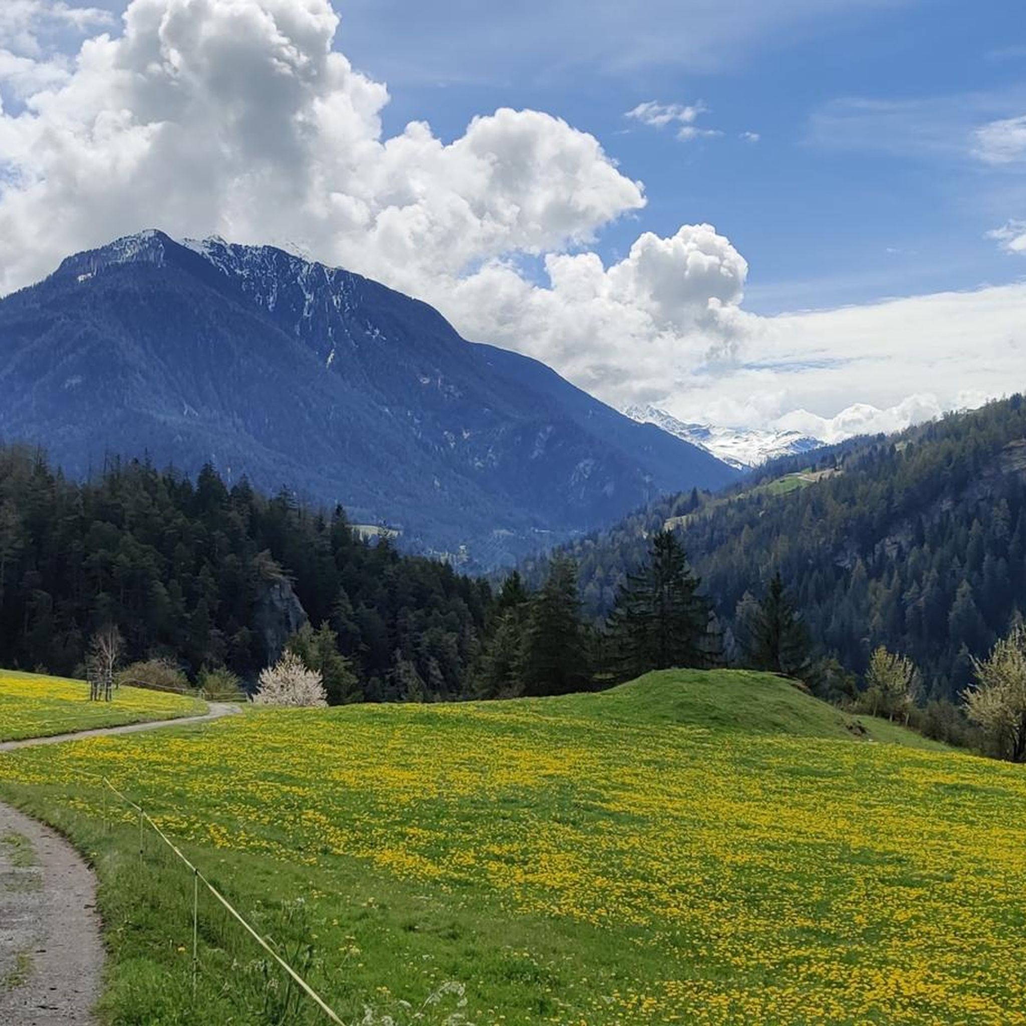
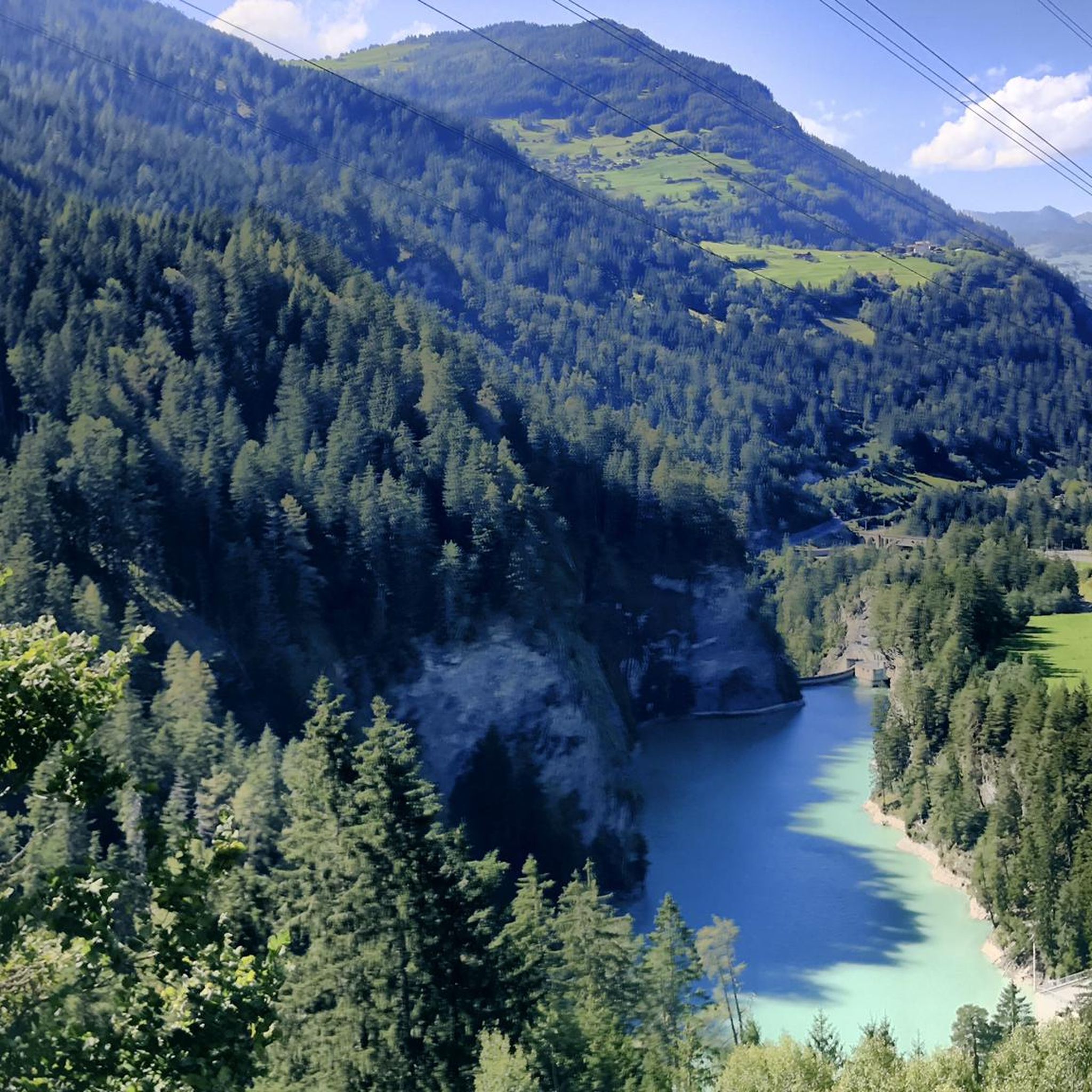

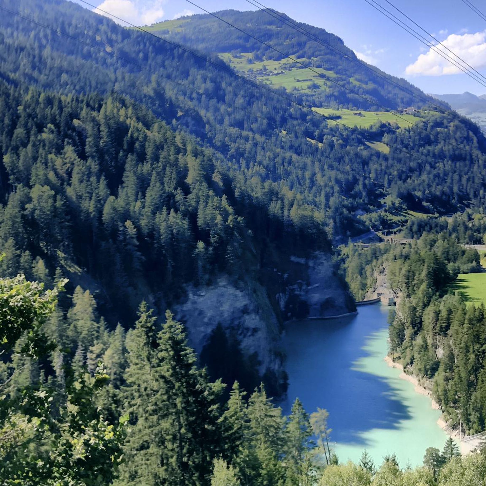
Tips from the Community

Beautiful lake with a nice cycle path
0
0


Silvaplanersee is an ideal windsurfing and kiteboarding area with a reliable Maloja wind in good weather. With strong day/night temperature differences, the rocks before the Maloja Pass in Bergell heat up and the wind pulls down the Inn Valley. This effect can be intensified by an approaching bad weather front -> then things really get going. With north wind (Bise) or Julier wind, however, the wind is weak. An ideal starting point for surfing is the Silvaplana campsite at the surf center with a large parking lot.
0
0


Beautiful and fun-to-ride trail, S1 with a few S2 sections. The terrain is rather steep, with little room for error in places. However, narrow sections alternate with wider, easier passages, so you can always safely let hikers pass (who, naturally, have priority).
0
0
Beautiful and fun-to-ride trail, S1 with a few S2 passages. The terrain is rather steep, sometimes there is not much room for error. However, narrow passages alternate with wider, easier passages, so you can always safely let hikers (who naturally have priority) pass. A scenic and technical highlight!
0
0

Bivio - Access to the Septimer and Julier Alpine Passes Bivio (German, and officially Stalla until 1902, Romansh Beiva). It lies at the foot of the Julier and Septimer Alpine Passes. Bivio is, along with Tarvisio and Luwin, the only officially Italian-speaking village north of the Alpine watershed and is considered the one in Switzerland with the greatest linguistic diversity. Bivio is located in the middle of one of Switzerland's most beautiful holiday regions: at 1,769 metres, with direct access to the Septimer and Julier Alpine Passes. Historic paths lead through the highest village in Surses – here the Romans already transported their goods. Today, holidaymakers enjoy the Alpine landscape in summer with its magnificent views, healthy climate and the play of colours of rich green and colourful flora. In addition, there are diverse opportunities for families and other guests. After all, Bivio is located in the middle of Parc Ela, Switzerland's largest nature park. This is appreciated by children eager for experiences and bike holidaymakers just as much as by all those who find relaxation on extensive hikes in the Alps. Text / Source: Graubünden Ferien, Alexanderstrasse 24, Chur https://www.graubuenden.ch/de/ausflugsziele/bivio
13
0
Bivio at 1769 m above sea level. The name Bivio means “fork in the road” and is inextricably linked with the two Roman passes, Septimer and Julier. The village of 260 inhabitants probably has the strangest linguistic situation in all of Europe, so judges a prominent scholar about Bivio, the highest village in Surses. Text / Source: Switzerland Tourism https://www.myswitzerland.com/de-ch/reiseziele/bivio/
13
0
Frequently Asked Questions
What kind of terrain can I expect on mountain bike trails around Solis Stausee (Albula)?
The region offers a diverse mix of terrain, including forest paths, gravel sections, and technical single trails. You'll encounter varied elevation changes as you navigate deep gorges, alpine river valleys, and high peaks, often with views of the Solis Viaduct and the Albula River.
How many mountain bike trails are available in the Solis Stausee (Albula) area?
There are over 200 mountain bike trails documented around Solis Stausee (Albula) on komoot. This includes a wide range of options, from moderate routes to challenging, difficult trails.
Are there mountain bike trails suitable for beginners or less experienced riders?
Yes, while the region is known for its challenging routes, there are 25 easy and 67 moderate trails available. These provide excellent options for beginners or those looking for a less strenuous ride, allowing you to enjoy the scenic landscape at a comfortable pace.
What are some challenging mountain bike routes for advanced riders?
For advanced riders seeking a challenge, the area offers 116 difficult trails. Routes like the Ziteil Pilgrimage Chapel – Forest Trail in Graubünden loop from Tiefencastel, with its 1,765 meters of elevation gain over 34.3 km, or the extensive Bergün/Bravuogn – Lake Silvaplana loop from Tiefencastel, covering over 100 km with 2,500 meters of ascent, provide significant technical and physical demands.
What is the best time of year for mountain biking around Solis Stausee (Albula)?
The prime season for mountain biking in the Solis Stausee region typically runs from spring through autumn. During these months, trails are generally clear of snow, and the weather is more favorable for riding. Some higher-altitude trails may remain snow-covered into early summer.
Are there any family-friendly mountain bike trails in the Solis Stausee (Albula) area?
While many trails are challenging, the region does offer easier routes suitable for families. Look for the 25 trails rated as 'easy' on komoot, which often feature less elevation gain and smoother surfaces, allowing for a more relaxed family outing.
Can I bring my dog on the mountain bike trails around Solis Stausee (Albula)?
Generally, dogs are permitted on trails in the Solis Stausee region, but it's always advisable to keep them on a leash, especially in areas with livestock or wildlife. Be mindful of other trail users and ensure your dog is well-behaved and can handle the terrain and distance.
What notable landmarks or viewpoints can I see while mountain biking in the region?
The area is rich in natural and cultural landmarks. You can expect views of the iconic Solis Viaduct, the dramatic Albula Gorge, and the scenic Albula River Valley. The UNESCO World Heritage Rhaetian Railway, with its impressive bridges and tunnels, is also a frequent sight. Historic villages like Filisur and Bergün offer charming stops along many routes.
Are there options for public transport to access mountain bike trails?
Yes, the Rhaetian Railway (RhB), a UNESCO World Heritage site, provides excellent public transport access throughout the Albula Valley. Many villages along the railway, such as Tiefencastel, serve as convenient starting points for trails, allowing you to reach various routes without a car.
Where can I find amenities like cafes or accommodation near the mountain bike trails?
Charming villages like Tiefencastel, Filisur, Bergün, and Alvaneu Dorf are dotted throughout the region and offer various amenities. You'll find cafes, restaurants, and accommodation options in these villages, perfect for a break or an overnight stay after your ride. The Mineral Bath Alvaneu Bad also offers a place to relax.
What do other mountain bikers enjoy most about the trails in Solis Stausee (Albula)?
The area is highly rated by the komoot community, with an average score of 4.5 stars from nearly 2,000 reviews. Riders often praise the diverse terrain, the breathtaking alpine scenery, and the challenging nature of many routes. The combination of natural beauty and varied riding experiences is a consistent highlight.
Are there any circular mountain bike routes in the Solis Stausee (Albula) area?
Yes, many routes in the region are designed as loops, allowing you to start and finish in the same location. Examples include the Alp Flix – Colorful Building in Riom loop from Tiefencastel and the Zügenschlucht Trail – View of the Landwasser Viaduct from below loop from Tiefencastel, offering convenient circular journeys.
What are the typical distances and elevation gains for mountain bike trails here?
Trail distances vary significantly, from shorter loops to extensive tours. For example, the Aclas Dafora – Belfort Castle Ruins loop from Tiefencastel is around 34 km with 1,348 meters of elevation gain, while longer routes can exceed 60 km with over 1,800 meters of ascent, like the Alp Flix – Colorful Building in Riom loop from Tiefencastel.
Most popular routes around Solis Stausee (Albula)

Get inspired with the komoot mobile app


Explore more
Browse the best MTB trails in other regions.
