The best road cycling routes around Whittlesford
4.3
(59)
1,089
riders
40
rides
Road cycling around Whittlesford features a landscape characterized by open farmlands, interspersed with hedgerows and scattered woodlands. The area is situated on the Granta branch of the River Cam, offering scenic riverside sections. While generally flat, routes include segments with elevation gain, providing varied terrain for cyclists. This region offers a network of cycle paths connecting villages and towns.
Best road cycling routes around Whittlesford
- The most popular road cycling route is DNA Path Rainbow Cycleway – Grantchester Village loop from Whittlesford Parkway, a 28.7 miles (46.2 km) trail that takes 1 hour 56 minutes to complete. This route utilizes the DNA Path Rainbow Cycleway, connecting to areas like Grantchester Village.
- Another top favourite among local road cyclists is The Straight Climb – Sawston–Whittlesford Cycleway loop from Whittlesford Parkway, a moderate 31.6 miles (50.9 km) path. This route includes sections with notable elevation gain, traversing the Sawston–Whittlesford Cycleway.
- Local road cyclists also love the Whittlesford Church – DNA Path Rainbow Cycleway loop from Whittlesford Parkway, a 21.6 miles (34.7 km) trail leading through the local countryside and along parts of the DNA Path Rainbow Cycleway, often completed in about 1 hour 26 minutes.
- Road cycling around Whittlesford is defined by open farmlands, riverside paths along the River Cam, and quiet country lanes. The network offers options for easy, moderate, and difficult routes, catering to various fitness levels.
- The routes in Whittlesford are highly rated by the komoot community with an average score of 4.6 stars from over 60 reviews. More than 1,200 road cyclists have used komoot to explore Whittlesford's varied terrain.
Last updated: October 13, 2026
4.7
(20)
221
riders
Moderate road ride. Great for any fitness level. Some segments of this route may be unpaved and difficult to ride.
4.4
(9)
106
riders
Moderate road ride. Good fitness required. Mostly well-paved surfaces and easy to ride.

4.3
(21)
253
riders
Easy road ride. Great for any fitness level. Mostly well-paved surfaces and easy to ride.
4.7
(3)
80
riders
Moderate road ride. Good fitness required. Mostly well-paved surfaces and easy to ride.
5.0
(1)
37
riders
45.2km
02:06
370m
370m
Moderate road ride. Good fitness required. Mostly well-paved surfaces and easy to ride.
Get access to more routes and recommendations from other explorers.
Already have an account?
Our route recommendations are based on thousands of hikes, rides, and runs completed by other people on komoot.
Start today with a free account
Your next adventure awaits.
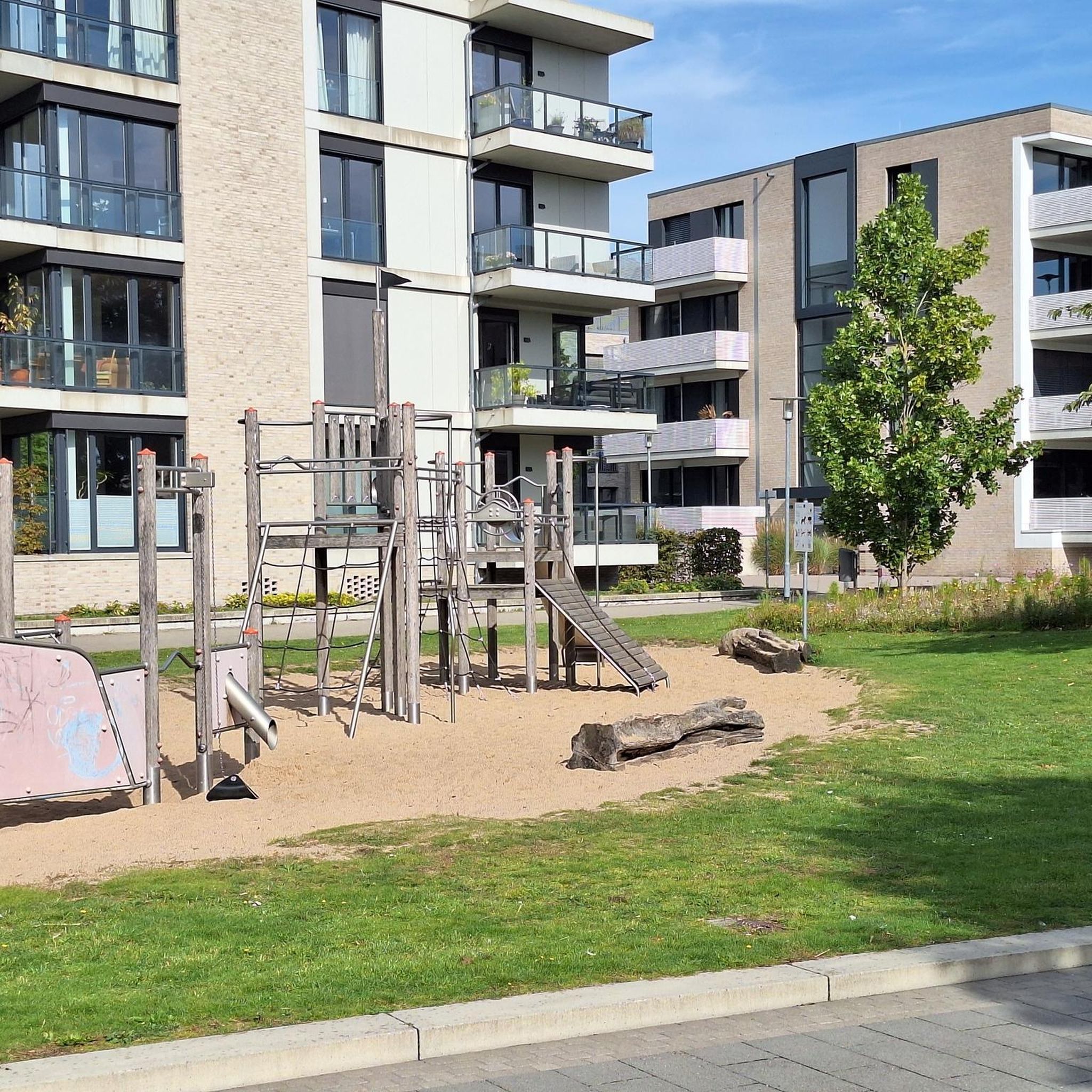
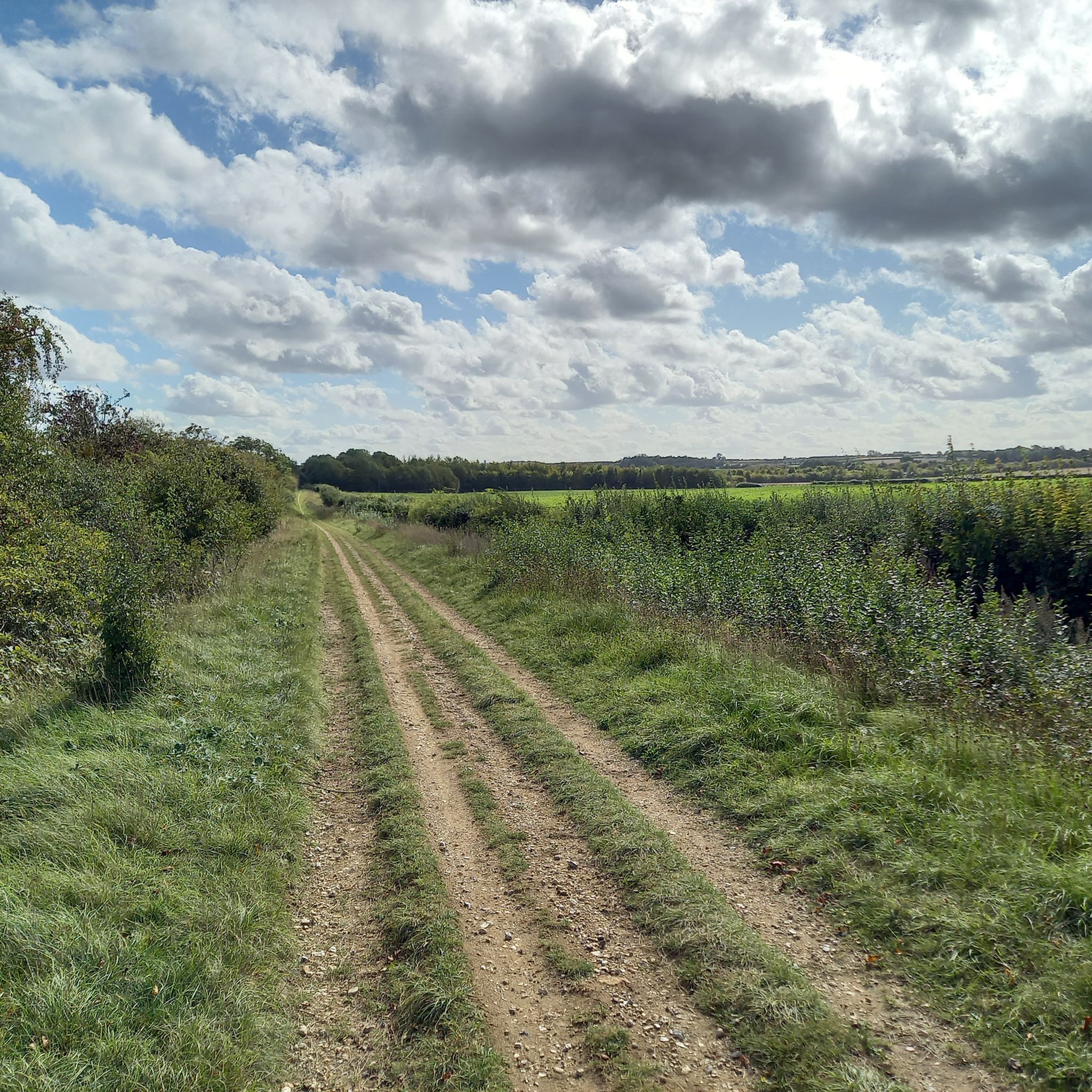
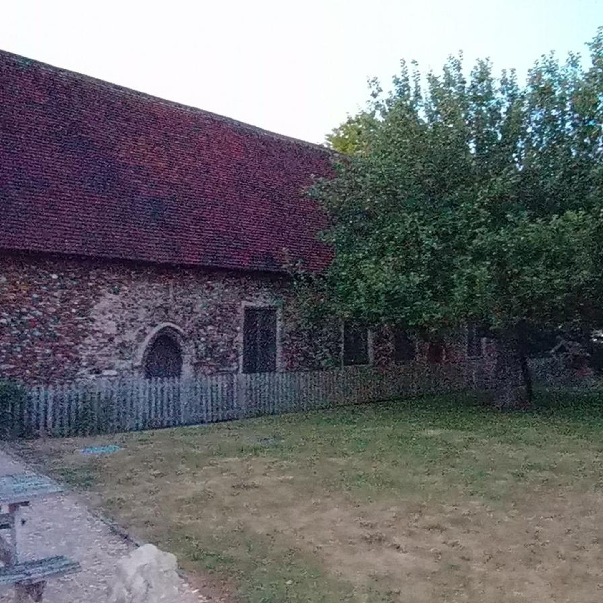
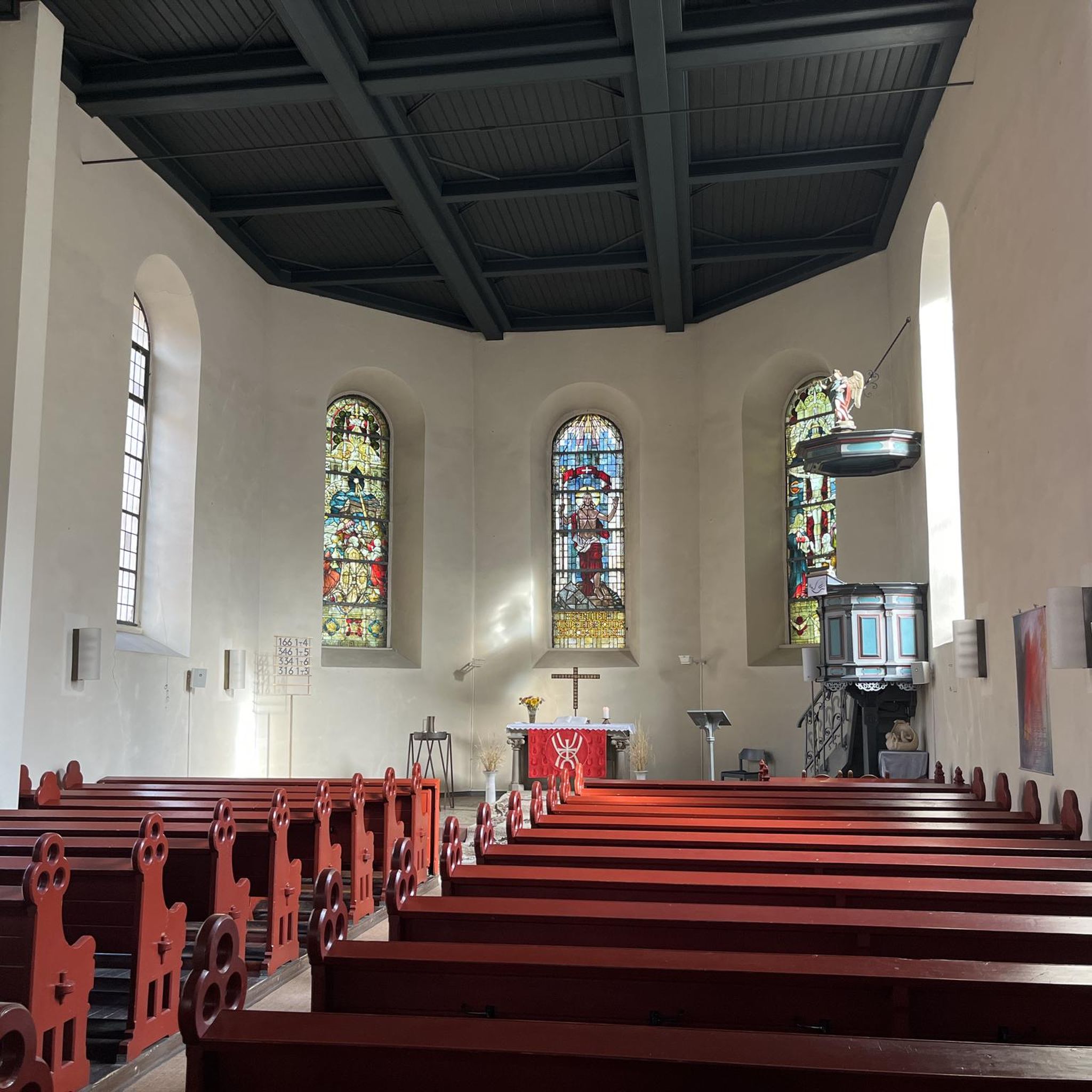
Tips from the Community

Nice stretch of cycleway to properly get you out of the grasp of Cambridge. Tarmac throughout bar one very short stretch of gravel through the churchyard at Whittlesford. Do be mindful of other users as not particularly wide. I was riding mid morning on a Monday and was largely empty, not sure what it would be like at busier times.
0
0
Pleasant climb up towards Elmdon, into the more rolling terrain. Climb is mostly steady throughout, with no serious gradients to overly challenge.
0
0

Passes under the railway line and motorway between Catmere End and Audley End.
0
0

Great coffees and pastries, perfect for refuelling
0
0

Radio interferometry started in the mid-1940s on the outskirts of Cambridge, but with funding from the Science Research Council and a corporate donation of £100,000 from Mullard Limited, a leading commercial manufacturer of thermionic valves. Construction of the Mullard Radio Astronomy Observatory commenced at Lords Bridge Air Ammunition Park,[1] a few kilometres to the west of Cambridge. The observatory was founded under Martin Ryle of the Radio-Astronomy Group of the Cavendish Laboratory, University of Cambridge and was opened by Sir Edward Victor Appleton on 25 July 1957. This group is now known as the Cavendish Astrophysics Group. (https://en.wikipedia.org/wiki/Mullard_Radio_Astronomy_Observatory)
3
0
Great place for a break with a good assortment of sandwiches and cakes as well as farm produce. Plenty of seating outside if the weather is good.
2
0

A completely different kind of travelling station, although it probably had a different intention when it was established in the late 19th century. https://www.theorchardteagarden.co.uk
2
0

Frequently Asked Questions
How many road cycling routes are available around Whittlesford?
There are over 40 road cycling routes around Whittlesford, catering to various skill levels. This includes 9 easy routes, 31 moderate routes, and 2 difficult routes, offering a diverse range of options for cyclists.
What kind of terrain can I expect when road cycling around Whittlesford?
The terrain around Whittlesford is characterized by open farmlands, hedgerows, and scattered woodlands. While generally flat, many routes include segments with elevation gain, providing a varied cycling experience. You'll also find scenic riverside sections along the Granta branch of the River Cam.
Are there any circular road cycling routes in Whittlesford?
Yes, many of the road cycling routes around Whittlesford are designed as loops, allowing you to start and finish in the same location. For example, the DNA Path Rainbow Cycleway – Grantchester Village loop from Whittlesford Parkway is a popular circular route.
What interesting landmarks or attractions can I see while road cycling near Whittlesford?
Road cycling routes around Whittlesford offer access to several notable attractions. You can explore the historic city of Cambridge, including sights like King's College Chapel and the Mathematical Bridge. The DNA Path Rainbow Cycleway itself is a highlight, and the Roman Road (Cambridge to Haverhill) offers a historical route. Imperial War Museum Duxford and Wimpole Estate are also within a short ride.
Are there any scenic viewpoints or natural features to enjoy on a road cycling trip?
Absolutely. The region is rich in natural beauty, with open farmlands and the Granta branch of the River Cam offering picturesque views. The DNA Path Rainbow Cycleway provides access to Nine Wells, a tranquil wooded and stream area. The Whittlesford-Thriplow Hummocky Fields SSSI also showcases unique biodiversity.
Is there convenient parking available for road cyclists in Whittlesford?
Many routes around Whittlesford, such as the DNA Path Rainbow Cycleway – Grantchester Village loop, start from Whittlesford Parkway, which typically offers parking facilities. It's advisable to check local parking regulations and availability before your trip.
How can I reach Whittlesford by public transport for a cycling trip?
Whittlesford is well-connected by public transport. Whittlesford Parkway is a train station, making it a convenient starting point for many cycling routes. This allows for easy access to the area, especially if you're coming from Cambridge or other nearby towns.
Are there cafes or pubs along the road cycling routes for refreshments?
Yes, the area around Whittlesford, including nearby villages and towns, offers various options for refreshments. You'll find traditional pubs and cafes where you can stop for a break and refuel during your ride. The village of Whittlesford itself has historic charm and local establishments.
Are there easy road cycling routes suitable for beginners in Whittlesford?
Yes, Whittlesford offers 9 easy road cycling routes perfect for beginners or those looking for a relaxed ride. These routes generally feature flatter terrain and shorter distances, allowing for a comfortable introduction to road cycling in the area.
What are some more challenging road cycling routes for experienced riders?
For experienced riders seeking a challenge, Whittlesford has 2 difficult routes and 31 moderate routes that include more significant elevation gains and longer distances. The A1301 Cycle Path – Sweeping Country Lane loop, for instance, features over 370 meters of elevation gain.
What is the typical duration of road cycling routes around Whittlesford?
The duration of road cycling routes around Whittlesford varies widely. Shorter, easier routes can take around 1 hour 26 minutes, such as the Whittlesford Church – DNA Path Rainbow Cycleway loop. Longer, moderate routes can extend to over 2 hours, with some taking up to 2 hours 30 minutes or more, depending on your pace and the route's distance and elevation.
When is the best time of year for road cycling in Whittlesford?
The best time for road cycling in Whittlesford is generally during the spring, summer, and early autumn months. The open farmlands and riverside paths are particularly pleasant in milder weather. While cycling is possible year-round, be mindful of potentially colder and wetter conditions in winter.
What do other road cyclists enjoy the most about road cycling in Whittlesford?
The road cycling routes around Whittlesford are highly rated by the komoot community, with an average score of 4.6 stars from over 60 reviews. Cyclists often praise the diverse landscape, which combines open farmlands with scenic riverside sections, and the well-connected network of cycle paths that make exploration enjoyable.
Most popular routes around Whittlesford
Most popular attractions around Whittlesford

Get inspired with the komoot mobile app


Explore more
Browse the best Road cycling routes in other regions.
