The best road cycling routes around Embalse de Beninar
5.0
(10)
823
riders
25
rides
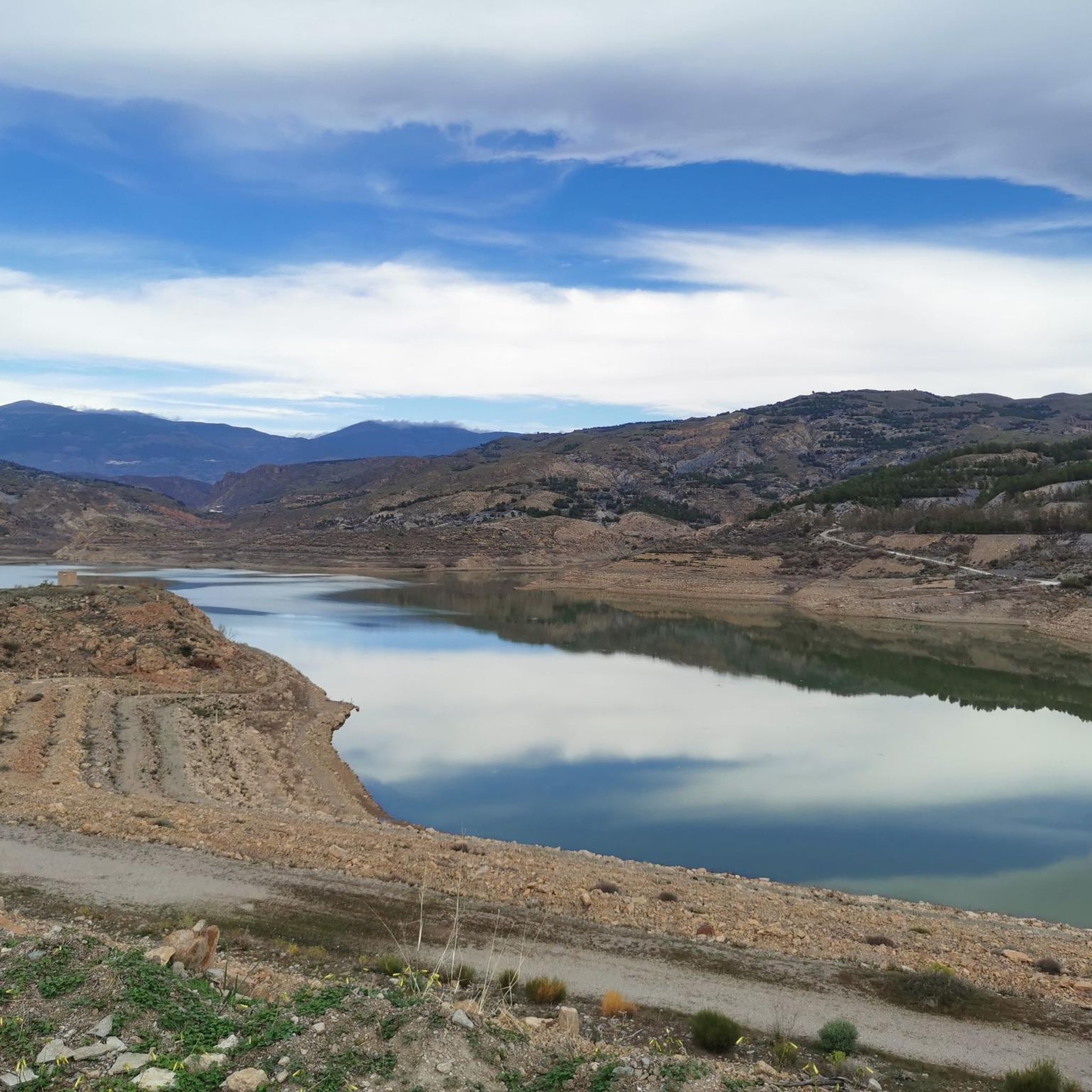
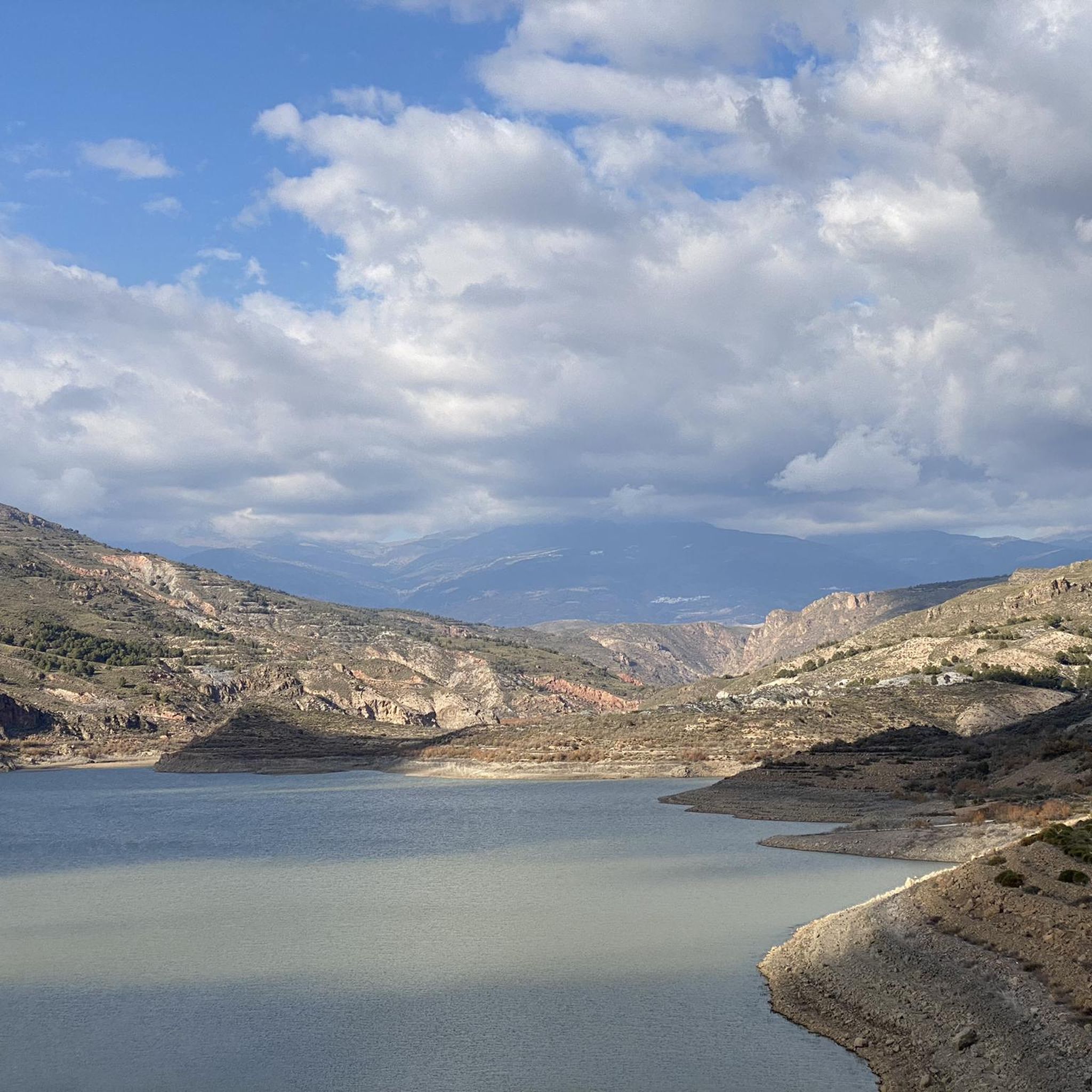
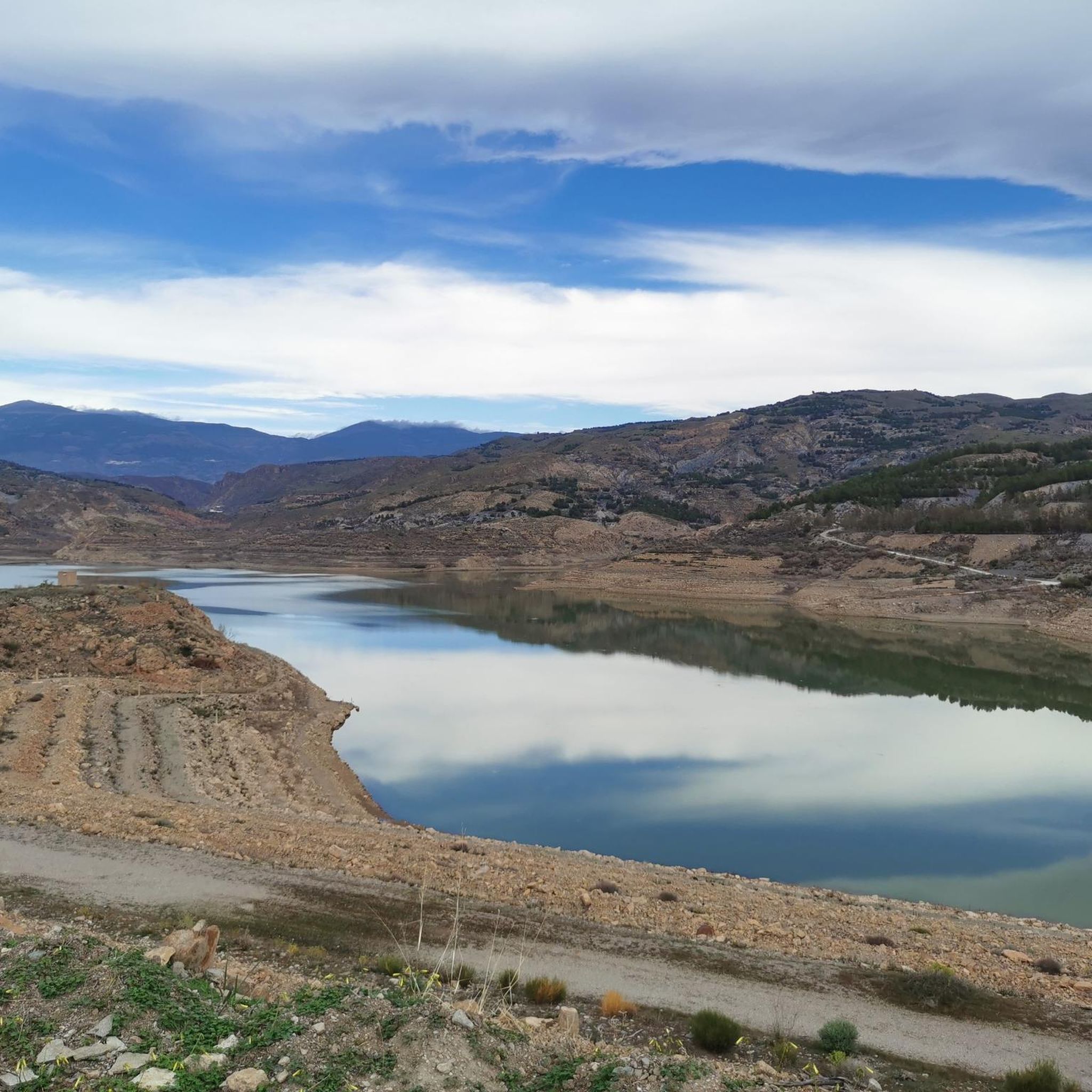
Road cycling routes around Embalse de Beninar are situated in the province of Almería, Spain, offering varied terrain for cyclists. The region features well-paved roads and altitudes ranging from approximately 300 to 1500 meters, providing opportunities for significant climbs and descents. Cyclists encounter panoramic views of the southern face of the Sierra Nevada mountains and traverse diverse landscapes, including orange and olive groves, forests, and rocky crags. The Embalse de Beninar itself is a prominent geographical feature, fed by the…
Last updated: May 15, 2026
19
riders
70.4km
04:03
1,670m
1,670m
Hard road ride. Very good fitness required. Mostly well-paved surfaces and easy to ride.
5.0
(2)
66
riders
60.4km
03:31
1,430m
1,430m
Hard road ride. Very good fitness required. Mostly well-paved surfaces and easy to ride.

Sign up for free
5.0
(1)
49
riders
80.9km
04:28
1,730m
1,730m
Hard road ride. Very good fitness required. Mostly well-paved surfaces and easy to ride.
52
riders
60.2km
03:36
1,470m
1,480m
Hard road ride. Very good fitness required. Mostly well-paved surfaces and easy to ride.
33
riders
80.8km
05:18
2,450m
2,450m
Hard road ride. Very good fitness required. Some segments of this route may be unpaved and difficult to ride.
Get access to more routes and recommendations from other explorers.
Sign up for free
Already have an account?
Our route recommendations are based on thousands of hikes, rides, and runs completed by other people on komoot.
Start today with a free account
Your next adventure awaits.
Login or Signup

Tips from the Community


The view of the Sierra Nevada Mountains is breathtaking, with their soaring peaks dominating the horizon. On clear days, the contrast between their slopes and the sky creates a majestic and powerful landscape.
1
0
a beautiful are to ride a bike
0
0
Visit the Balacon de la Alpujarra, amazing views.
0
0
A stunning area for cycling
0
1
stunning climb through olive groves
0
0

The Puerto de la Ragua marks the border between the provinces of Granada and Almería. The Sierra Nevada stretches on both sides, with the 3000m peaks on the Granada side. The highest mountain in the province of Almería, El Chullo, is, however, easily accessible from the Puerto de la Ragua. The Puerto de la Ragua is just over 2000m.
0
0
Frequently Asked Questions
How many road cycling routes are available around Embalse de Beninar?
There are over 25 road cycling routes specifically designed for race bikes around Embalse de Beninar. These routes offer a variety of experiences, primarily catering to moderate to difficult skill levels.
What is the typical terrain and elevation like for road cycling in this region?
The region around Embalse de Beninar offers varied terrain with altitudes ranging from approximately 300 to 1500 meters. Cyclists can expect significant climbs and exhilarating descents, traversing diverse landscapes that include orange and olive groves, forests, and rocky crags. The routes also provide spectacular panoramic views of the southern face of the Sierra Nevada mountains.
What level of difficulty can I expect from road cycling routes around Embalse de Beninar?
The road cycling routes around Embalse de Beninar are generally challenging. Out of the 27 available routes, 9 are considered moderate and 18 are difficult, making it an ideal destination for cyclists looking for a rewarding workout with substantial elevation changes.
What do other cyclists enjoy most about road cycling in Embalse de Beninar?
The area is highly rated by the komoot community, with an average score of 5.0 stars from over 10 reviews. Cyclists frequently praise the well-paved, often untrafficked roads, the breathtaking views of the Sierra Nevada, and the diverse natural landscapes that make for a constantly engaging visual experience.
Are there any circular road cycling routes around Embalse de Beninar?
Yes, many routes in the region are circular. For example, you can try From the Beninar Reservoir to Murtas — circular route through the south of the Alpujarras, a difficult 70.4 km loop, or the Ugíjar – Válor Village loop from Cherín, which is a difficult 60.4 km path featuring varied terrain.
What are some notable landmarks or viewpoints along the road cycling routes?
Road cycling routes in this area offer stunning views of the Sierra Nevada mountains and the Embalse de Beninar reservoir itself. While specific highlight pages are not available, the routes traverse areas with diverse natural beauty, including groves and rocky areas, providing numerous scenic viewpoints. The region's history, with the submerged village of Beninar beneath the reservoir, also adds a unique layer to the landscape.
When is the best time of year to go road cycling around Embalse de Beninar?
The region generally experiences good weather conditions, which enhances the cycling experience. Given the varied terrain and altitudes, spring and autumn are often ideal, offering pleasant temperatures for tackling the climbs and descents without the extreme heat of summer or the colder conditions of winter at higher elevations.
Are there any longer, more challenging road cycling routes for experienced riders?
Absolutely. For experienced riders seeking a significant challenge, routes like Cádiar – Ugíjar loop from Ugíjar cover 84.9 km with over 2000 meters of elevation gain. Another demanding option is La Ragua Pass – View of La Calahorra Castle loop from Cherín, which is 80.8 km and features nearly 2450 meters of ascent.
What are the road surface conditions like for cycling around Embalse de Beninar?
The region is known for its well-paved roads, which are often untrafficked. This makes for a smooth and enjoyable cycling experience, allowing riders to focus on the scenery and the challenge of the terrain.
Is it possible to find accommodation or places to eat near the cycling routes?
While specific establishments are not listed, the broader region of Almería and the Alpujarras, where Embalse de Beninar is located, offers various villages and towns. These typically provide options for accommodation, cafes, and pubs where cyclists can refuel and rest after their rides.
Are there any road cycling routes that pass through the Alpujarras?
Yes, several routes explore the beautiful Alpujarras region. A popular option is From the Beninar Reservoir to Murtas — circular route through the south of the Alpujarras, which takes you through the southern part of this historic and scenic area.
What is the average duration for road cycling routes in this area?
The average duration for road cycling routes around Embalse de Beninar varies significantly based on distance and elevation. For example, a difficult 70.4 km route like From the Beninar Reservoir to Murtas typically takes around 4 hours, while longer routes can extend to 5 hours or more.
Most popular routes around Embalse de Beninar

Get inspired with the komoot mobile app


Explore more
Browse the best Road cycling routes in other regions.
