The best walks and hikes around Cama
4.5
(1533)
7,128
hikers
139
hikes
Hiking around Cama offers diverse trails through mountainous terrain, characterized by deep valleys like Val Cama and Val Leggia. The region features alpine lakes, such as Lago di Cama, and significant elevation changes. Hikers can explore a network of paths that traverse varied landscapes, from forested slopes to high mountain passes.
Best hiking trails around Cama
- The most popular hiking route is Lago di Cama – loop in Val Cama and Val Leggia, a 10.6 miles (17.0 km) trail…
Last updated: August 7, 2026
5.0
(1)
9
hikers
17.0km
09:54
1,770m
1,780m
Hard hike. Very good fitness required. Sure-footedness, sturdy shoes and alpine experience required.
4.5
(6)
22
hikers
4.43km
01:45
340m
340m
Moderate hike. Good fitness required. Easily-accessible paths. Suitable for all skill levels.

Sign up for free
8
hikers
11.9km
05:56
900m
900m
Hard hike. Very good fitness required. Mostly accessible paths. Sure-footedness required.
12
hikers
18.7km
10:42
1,700m
1,700m
Hard hike. Very good fitness required. Sure-footedness, sturdy shoes and alpine experience required.
5.0
(1)
2
hikers
19.9km
11:46
2,070m
2,070m
Hard hike. Very good fitness required. Sure-footedness, sturdy shoes and alpine experience required.
Get access to more routes and recommendations from other explorers.
Sign up for free
Already have an account?
Our route recommendations are based on thousands of hikes, rides, and runs completed by other people on komoot.
Start today with a free account
Your next adventure awaits.
Login or Signup
Tips from the Community

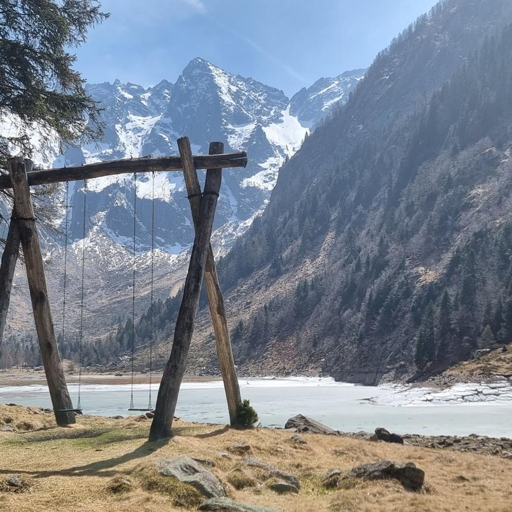
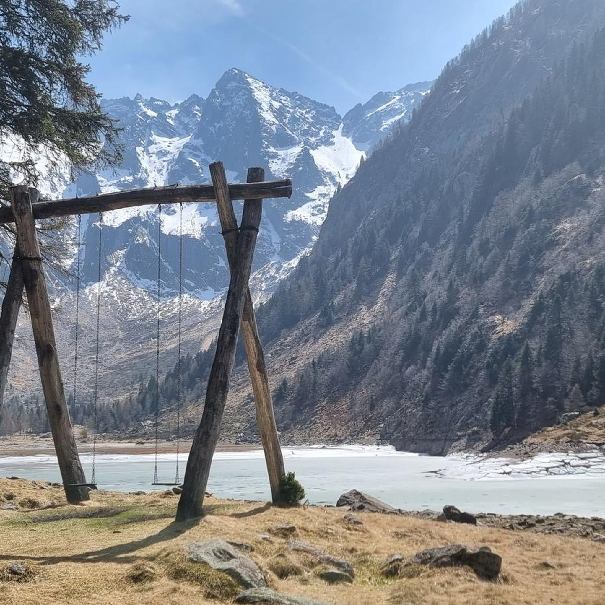
The Passo del Segnale is located at around 2,100 meters and is easily recognizable from afar by a distinctive wooden pole with an X-shaped cross. It connects the Val Cama with the Val Leggia and is an important pass between the two valleys – with beautiful views in both directions.
0
0
This hut is located in the middle of Val Leggia along the path and is a good place for a short break. Surrounded by pine trees, you can gather new energy here during the ascent or descent.
0
0

The path passes under two gigantic boulders that form a short natural tunnel, called Sass de la vegia.
0
0
The Passo del Segnale di Vazzola (2108 m) allows you to pass from the Val di Cama to the Val di Leggia and vice versa.
0
0
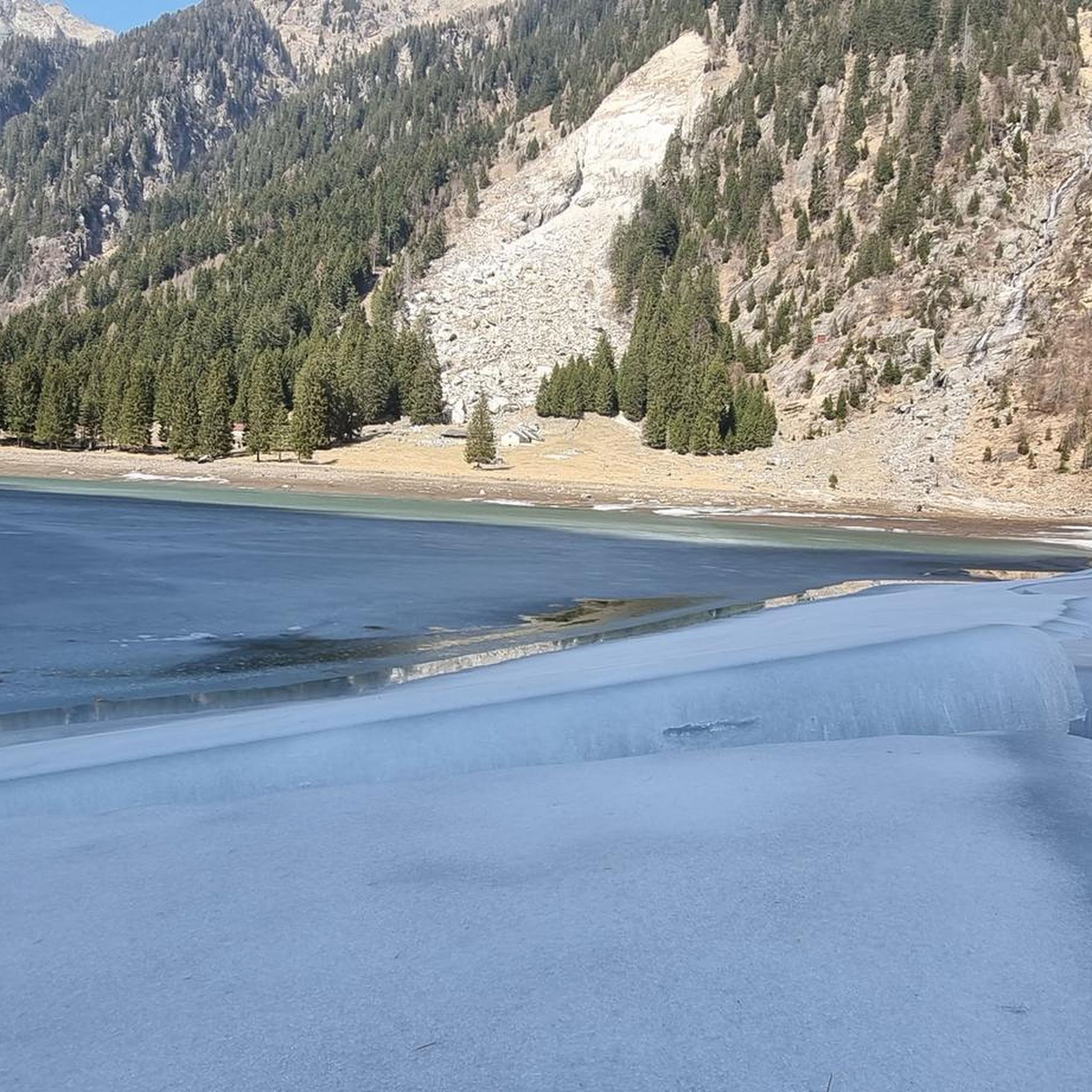
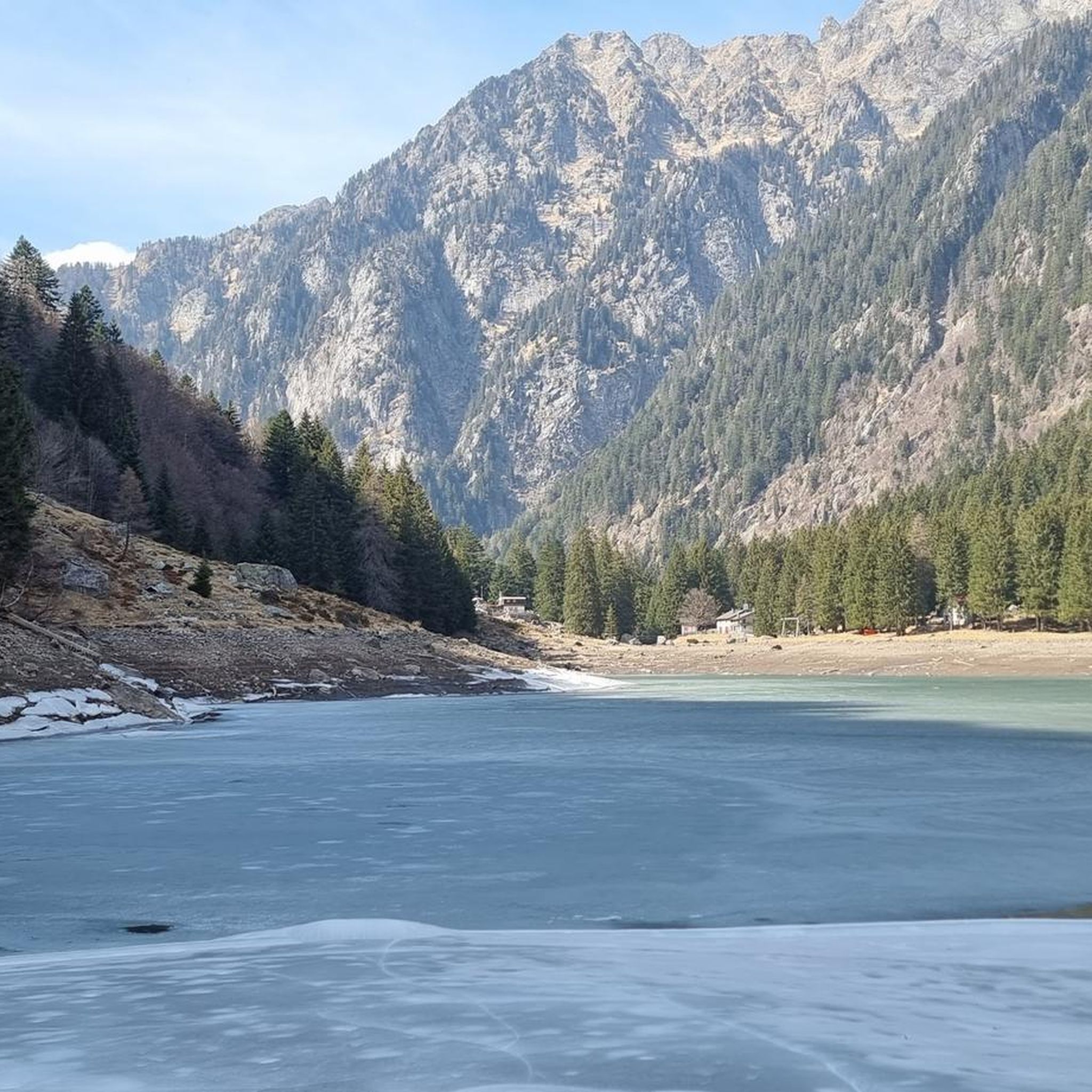
The Cama lake is located at 1,265 meters. The lake remains frozen approximately from mid-November to the end of April, and is enclosed in a rocky basin closed downstream, formed by Piz d’Ugin and Piz de Cressim.
0
0
The Bocchetta d'Agnon (or di Cama), at an altitude of 2269, allows you to reach the Valle di Cama from Val Darengo. Since the 19th century, the route has been used by smugglers, the spalloni, for their border trade between Italy and Switzerland.
2
0
The Bocchetta del Notar, at 2098 meters above sea level, connects the Cama valley, on the Swiss side, and the Bodengo valley, on the Italian side. The itinerary is also known as "Via dei Crotti" and since the 19th century it has been widely used by smugglers, the spalloni, for their trade between Italy and Switzerland.
1
0
Cuppellari boulders 3,4 and 5. Most of the cuppellari boulders of Verdabbio occupy an extensive area upstream from the village and are divided into 14 sites.
0
0
Frequently Asked Questions
What kind of terrain can I expect on hiking trails around Cama?
Hiking around Cama primarily features mountainous terrain, characterized by deep valleys like Val Cama and Val Leggia. You'll encounter alpine landscapes, forested slopes, and high mountain passes. Trails often involve significant elevation changes, leading to scenic viewpoints and alpine lakes such as Lake Cama.
Are there any easy or family-friendly hiking options in Cama?
Yes, Cama offers a variety of trails catering to different ability levels. While many routes are challenging, there are 16 easy trails available, making it possible to find suitable options for families or beginners. For example, the Santa Maria Cup-Marked Stones Trail is a moderate 2.8-mile path that offers cultural insights amidst natural surroundings.
What natural attractions or landmarks can I see while hiking in Cama?
Cama's hiking trails lead to several notable natural attractions. You can visit beautiful alpine lakes like Lake Cama, Lake Darengo, and Lake Calvaresc. There's also the impressive Augio Waterfall and the unique rock formation known as Sass de la Vegia.
Are there any circular hiking routes available in Cama?
Yes, Cama features several circular routes. A prominent example is the Lago di Cama – loop in Val Cama and Val Leggia, which is a challenging 10.6-mile trail exploring two valleys and the scenic alpine lake. Another option is the Sass de la Vegia – Lake Cama loop from Cama.
What do other hikers say about the trails in Cama?
The hiking routes in Cama are highly regarded by the komoot community, holding an average rating of 4.6 stars from over 1300 reviews. Hikers often praise the diverse terrain, the stunning alpine scenery, and the well-maintained paths that lead through valleys, past lakes, and over mountain passes.
Are there any huts or refuges along the hiking trails in Cama?
Yes, there are several huts and refuges available in the Cama region that can serve as rest stops or overnight accommodation for hikers. Notable options include the Brogoldone Hut, San Jorio Hut, Rifugio Giovo, and Capanna Gesero. Some even have cable car access, like the Monti di Saurù Cable Car and Mountain Hut.
How many hiking trails are there in Cama?
There are over 130 hiking trails available around Cama, offering a wide range of options from easy walks to difficult multi-hour treks through the alpine landscape.
What is the most challenging hike in Cama?
Among the more challenging routes, the Bocchetta d'Agnon - the paths of the Wanderer stands out. This difficult trail spans nearly 12.4 miles (20 km) and involves over 2000 meters of elevation gain, typically taking over 11 hours to complete.
What are the typical elevation gains on Cama's hiking trails?
Due to the mountainous nature of the region, many trails in Cama feature significant elevation gains. Difficult routes can involve over 1700 to 2000 meters of ascent, while moderate trails might have around 300-900 meters of elevation gain. Even easier paths often include some uphill sections.
Are there any trails that explore high mountain passes in Cama?
Yes, Cama is known for its high mountain passes. The Bocchetta del Notar - the paths of the Wanderer is an excellent example, leading through high mountain passes and offering expansive views. This challenging 11.6-mile trail typically takes around 10 hours and 42 minutes.
What kind of wildlife might I encounter while hiking in Cama?
While specific wildlife information for this Cama region is not detailed, mountainous alpine environments like Val Cama and Val Leggia are typically home to various species. Hikers might spot alpine birds, marmots, chamois, or ibex in higher elevations, and deer or other forest animals in lower, forested areas.
Most popular attractions around Cama

Get inspired with the komoot mobile app


Explore more
Browse the best Hikes in other regions.
