The best mountain hikes around Lake Goillet
4.4
(57)
1,092
hikers
12
hikes
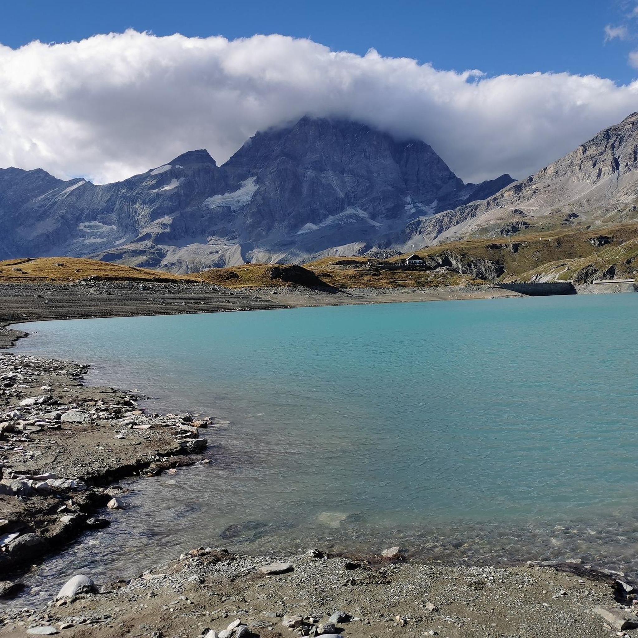
Mountaineering routes around Lake Goillet are situated in the Aosta Valley, at an altitude of approximately 8,255 feet (2,516 meters). The region is characterized by high granite peaks, many with perennial snow, and the prominent Matterhorn (Monte Cervino) which stands at 14,692 feet (4,478 meters). The landscape features the artificial Lake Goillet, known for its clear turquoise waters, and offers panoramic views of peaks like Dent d'Hérens and the Grandes Murailles range. This alpine environment provides a range of challenging…
Last updated: October 8, 2026
4.6
(24)
427
hikers
10.5km
06:01
630m
630m
Hard mountaineering route. Very good fitness required. Sure-footedness, sturdy shoes and alpine experience required.
4.8
(5)
190
hikers
10.4km
06:40
510m
510m
Hard mountaineering route. Very good fitness required. Sure-footedness, sturdy shoes and alpine experience required.

4.8
(4)
85
hikers
6.13km
03:17
270m
280m
Hard mountaineering route. Good fitness required. Sure-footedness, sturdy shoes and alpine experience required.
3.0
(1)
20
hikers
2.01km
00:58
180m
180m
Moderate mountaineering route. Great for any fitness level. Mostly accessible paths. Sure-footedness required.
4.9
(10)
127
hikers
Hard mountaineering route. Good fitness required. Sure-footedness, sturdy shoes and alpine experience required.
Get access to more routes and recommendations from other explorers.
Already have an account?
Our route recommendations are based on thousands of hikes, rides, and runs completed by other people on komoot.
Start today with a free account
Your next adventure awaits.
Tips from the Community

departure from the Guide del Cervino refuge, the easiest of the 4000m peaks, incredible landscape in an alpine environment, few crevasses on the route but the excursion always requires mountaineering equipment, rope and harness
0
0

Hirli (2780 m) forms the transition between the high-alpine glacier world at the Matterhorn and the hiking trails towards Schwarzsee and Zermatt. Here, the Hörnliweg and the Matterhorn Glacier Trail meet. Directly next to it is the mountain station of the Hirli-Bahn (Joscht–Hirli), which in winter is part of the Zermatt ski area. A special eye-catcher is the stele of Sri Chinmoy Peace Mountain, which honors the Matterhorn as a symbol of peace, beauty, and the connecting power of nature. From Hirli, an impressive view opens up once again back to the Matterhorn and over the glacier landscape. At the same time, the signposts indicate the further descent via Schwarzsee and later down to Zermatt.
0
0
The most spectacular section of the approach to the Hörnlihütte begins with the actual Hörnliweg. The path quickly gains height via narrow rock ledges, metal walkways embedded in the rock, and stairs. Far below your feet, the glacier landscape stretches out, while the Matterhorn appears mightier with every step. A signpost along the path reminds you with the words "Fear God and give Him glory!" to approach the mighty mountain world with respect and humility. Nevertheless, the technically well-developed path requires sure-footedness, a head for heights, and concentration – and rewards you with one of the most impressive approaches in the Alps.
0
0

If you want to get up close to the Matterhorn, the views are beautiful, but the route is only semi-rideable. Coming from the Theodul Glacier, there are some pushing sections on the descent and two longer climbs where you also have to push. So, if you just want to get back down, you're better off ski-ing from Trockener Steg.
0
0
Beautifully situated with incredible views. Also accessible by mountain bike in summer – but not without pushing your bike up 500 meters. There's no running water at the hut, so it's best to bring hand sanitizer and a little extra water for a quick wash. The very friendly hut staff also provides bottled drinking water at mealtimes. It's best to make a reservation and arrive before 7 p.m., otherwise the kitchen will be closed. If you're not acclimatized and a bit sensitive to altitude, you might find the night a bit short.
0
0

...and from there to the Breithorn! Beautiful views from up there, but: fitness, equipment, and a mountain guide are essential! :)
1
0
The most beautiful "4,000m entry" with a sensational view! Even if it's not particularly technically challenging, take a mountain guide with you – the next crevasse is sure to come! :)
2
0

Excellent refuge that of the Alpine Guides on M. TestaGrigia in Plateau Rosà Exceptional views from the external terraces, hot food and drinks, a mandatory stop.....
0
0
Frequently Asked Questions
How many mountaineering routes are available around Lake Goillet?
There are 16 mountaineering routes around Lake Goillet. Most of these, 13 to be exact, are classified as difficult, offering challenging ascents and high alpine experiences. There are also 3 moderate routes available.
What makes mountaineering around Lake Goillet unique?
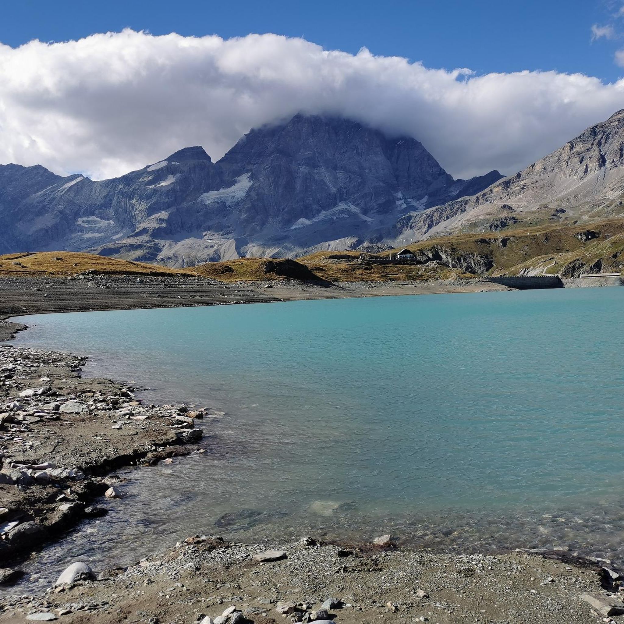
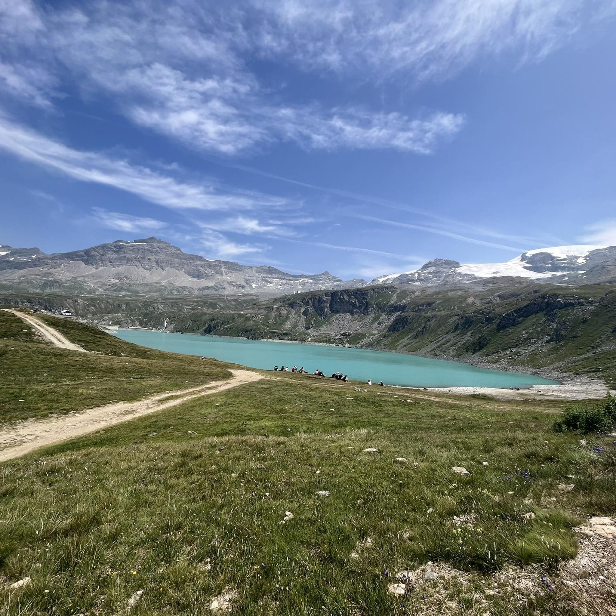
Mountaineering around Lake Goillet offers a unique blend of high alpine environment, characterized by rugged granite peaks and the iconic Matterhorn (Cervino) views. The artificial Lake Goillet itself, with its crystal-clear turquoise waters, provides a stunning focal point, often reflecting the Matterhorn, creating exceptional photographic opportunities. The region is situated at an altitude of approximately 2,516 meters (8,255 ft) to 2,603 meters above sea level, ensuring a true high-mountain experience.
What is the best time of year for mountaineering in the Lake Goillet area?
The best time for mountaineering and hiking in the Lake Goillet area is generally during the summer months, between June and September, when trails are typically clear of snow and weather conditions are most favorable for high-altitude activities.
Are there any moderate mountaineering routes around Lake Goillet?
Yes, there are a few moderate mountaineering routes. One popular option is the Oriondé Hut (2802 m) – Breuil-Cervinia Town Center loop from Breuil-Cervinia. This 7.1 miles (11.5 km) path provides access to a mountain hut and offers excellent views of the surrounding peaks without the extreme technical demands of some other routes.
What kind of challenges can I expect on difficult mountaineering routes near Lake Goillet?
Difficult mountaineering routes near Lake Goillet, such as the Rifugio Teodulo – Cervino Guides' Hut loop from Breuil-Cervinia, typically involve sustained climbs, significant elevation gain, and require very good fitness, sure-footedness, sturdy shoes, and alpine experience. You should be prepared for high-altitude conditions and potentially exposed sections.
What scenic points or natural features can I expect to see on mountaineering routes near Lake Goillet?
Mountaineering routes in this region offer spectacular panoramic views of the Matterhorn and the Grandes Murailles range. You'll traverse rugged granite peaks, verdant alpine pastures, and encounter the striking turquoise waters of Lake Goillet. The area is also known for its mountain flowers in summer and the impressive artificial dam of Lake Goillet, a significant engineering work.
Are there any circular mountaineering routes available?
Yes, many of the mountaineering routes around Lake Goillet are designed as loops. For example, the Oriondé Hut (2802 m) – Plan Maison Cable Car Station loop from Breuil-Cervinia is a 7.8 miles (12.6 km) difficult route that takes you through high alpine terrain, starting and ending near Breuil-Cervinia.
What do other mountaineers enjoy the most about mountaineering in Lake Goillet?
The area is highly rated by the komoot community, with an average score of 4.5 stars from over 40 reviews. Mountaineers often praise the breathtaking views of the Matterhorn, the challenging yet rewarding ascents, and the pristine high alpine environment. The diverse terrain, from glacial features to granite peaks, is also frequently highlighted.
Is it possible to reach the starting points of these routes using public transport?
Many routes often begin from Breuil-Cervinia or Plan Maison. Plan Maison can be reached by cable car from Breuil-Cervinia, which itself is accessible by public transport (bus services) from larger towns in the Aosta Valley. It's advisable to check local bus and cable car schedules in advance.
What kind of wildlife might I encounter while mountaineering around Lake Goillet?
During summer hikes and mountaineering trips, visitors might encounter various alpine wildlife. Common sightings include grazing cows in the pastures, marmots, and occasionally ibex, enriching the natural experience of the region.
Are there any facilities like cafes or huts along the mountaineering routes?
Yes, some routes provide access to mountain huts. For instance, the Oriondé Hut (2802 m) – Breuil-Cervinia Town Center loop from Breuil-Cervinia includes the Oriondé Hut, offering a place for rest and refreshments. The broader region also has refuges like Rifugio Teodulo, which serve as important bases for mountaineers.
Most popular routes around Lake Goillet

Get inspired with the komoot mobile app


Explore more
Browse the best Mountain Hikes & Routes in other regions.
