Attractions and Places To See around Burrowbridge - Top 20
Best attractions and places to see around Burrowbridge include a blend of historical landmarks, natural features, and cultural sites. Situated on the edge of the Somerset Levels, the village is known for its unique low-lying wetland landscape and its position on the River Parrett. This area offers opportunities to explore historical sites and enjoy the natural environment.
Best attractions and places to see around Burrowbridge
- The most popular attractions is King's Sedgemoor Drain Riverside Path, a cycle way that…
Last updated: July 29, 2026
Bridgwater and Taunton Canal
Highlight • River
Tip by

River Isle and Southmoor Pumping Station
Highlight • Structure
Tip by

Sign up now to discover places like this
Get recommendations on the best single tracks, peaks, & plenty of other exciting outdoor places.
Sign up for free
Burrow Mump
Highlight • Religious Site
Tip by
Muchelney Abbey Ruins
Highlight • Historical Site
Tip by
King's Sedgemoor Drain Riverside Path
Highlight (Segment) • Cycleway
Tip by

Sign up for free to discover even more attractions around Burrowbridge.
Sign up for free
Already have an account?
Start today with a free account
Your next adventure awaits.
Login or Signup
Tips from the Community


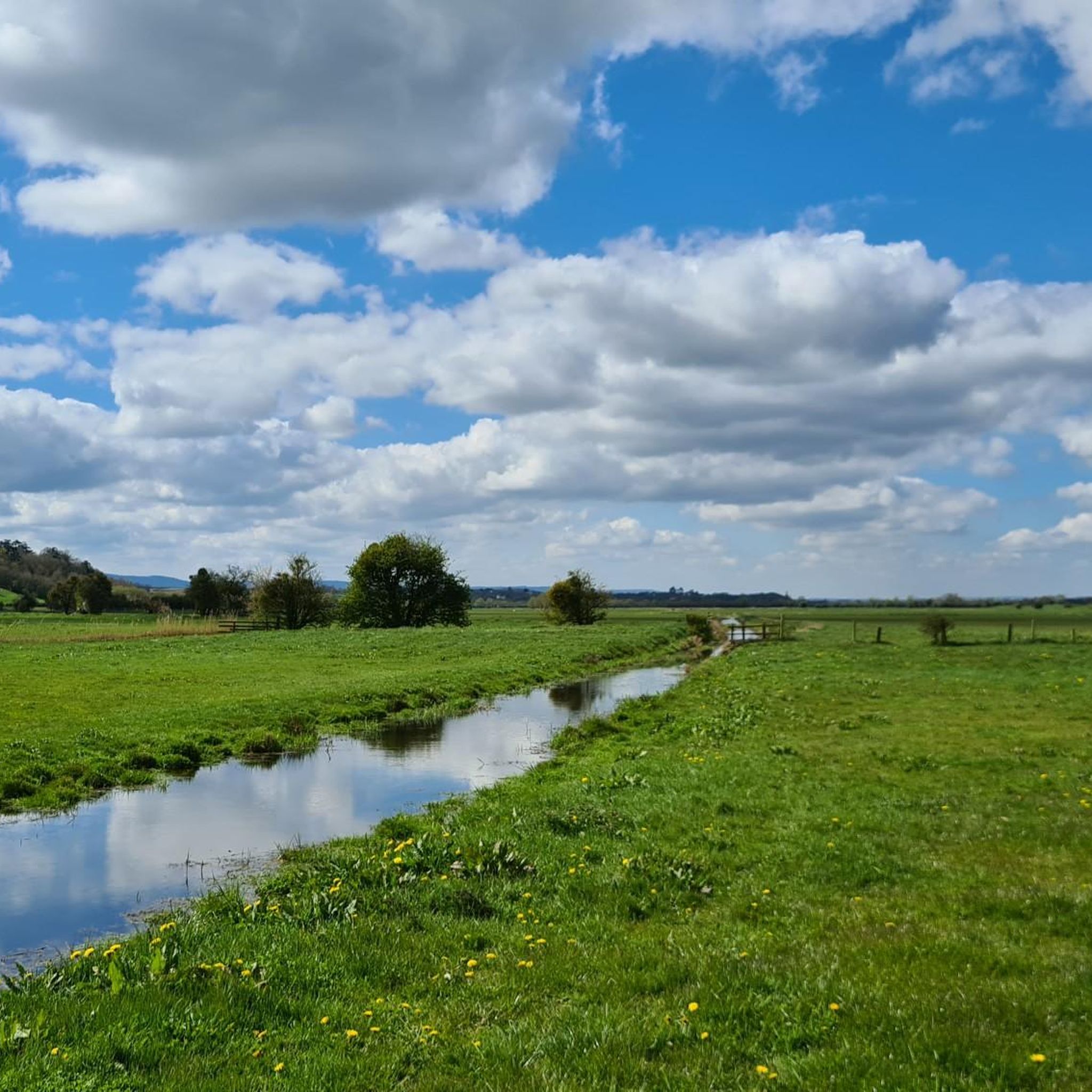
Southmoor Pumping Station is a historic pumping station located in Somerset, England, primarily designed for land drainage. It is part of the complex network of pumping stations and drainage systems that manage water levels in the Somerset Levels, an area prone to flooding due to its low-lying position.
0
0

UPDATE & OPEN; The Chedzoy/Bawdrip section which was closed is now reopened to walkers and bike riders ; Information obtained from Sustran 2/7/25
1
0

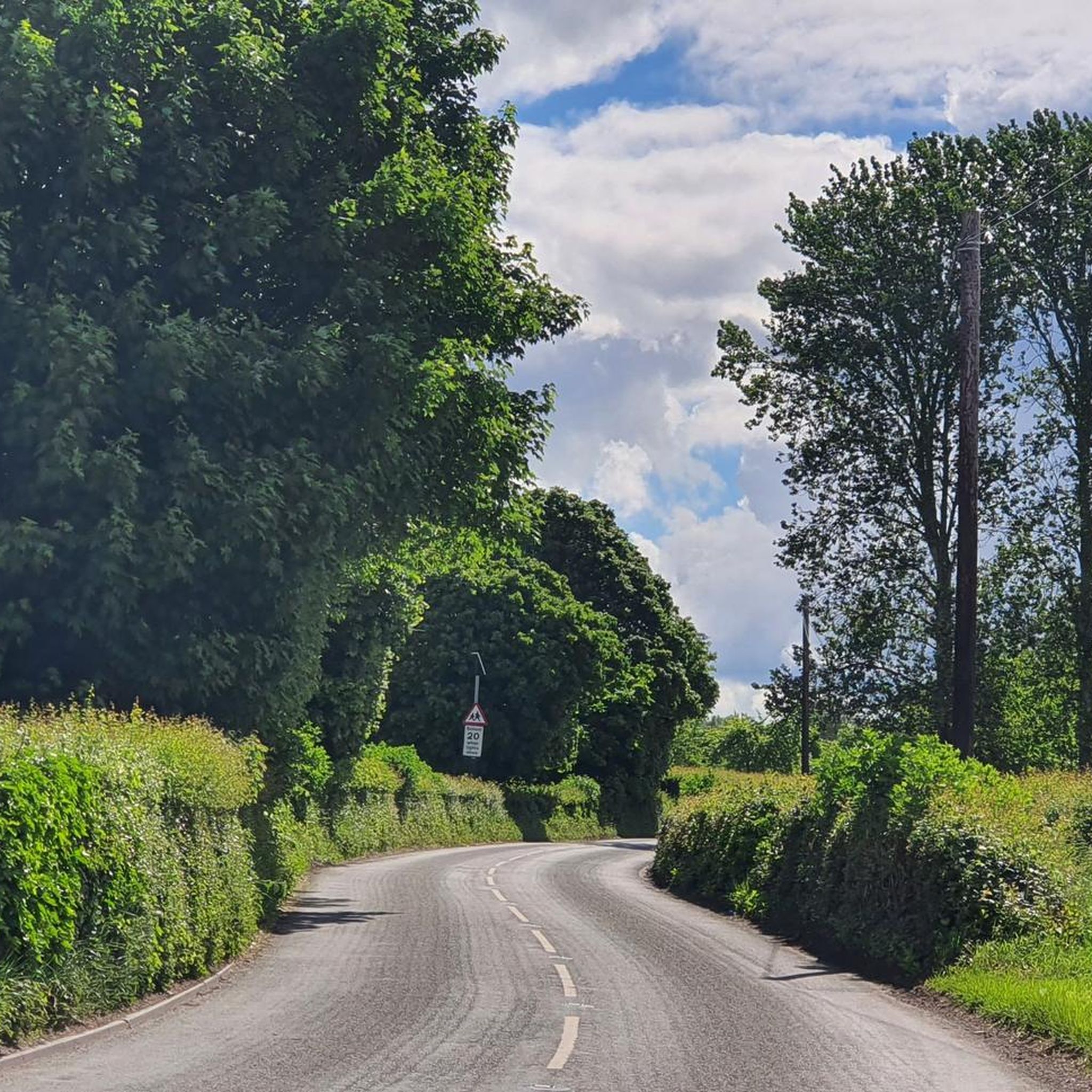
Closed due to pumping, bridge fenced off
2
0

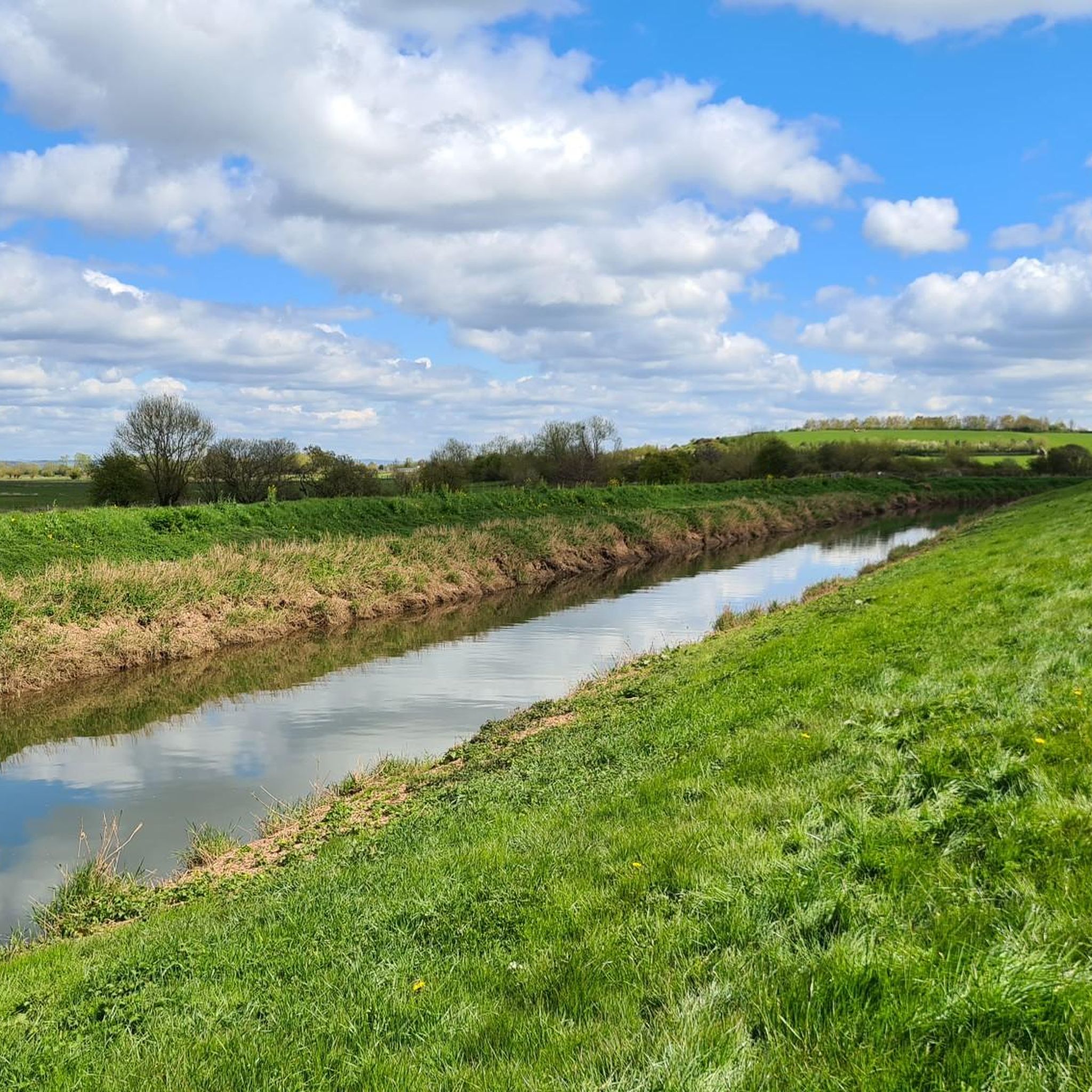
Maunsel lock cafe is the only place to get a coffee on the canal
0
1

A fab little wayside stand with honesty box. Nice selection of cakes on a sunny Saturday, most welcome!
1
0

Rising above the village of Burrowbridge, this wonderfully named hill is a scheduled monument and is home to a Grade I listed ruined church on its summit. At 79 feet (24 m) high, it stands out from the flat land around and can be seen easily from the River Parrett Trail which passes by. Thanks to the Somerset Levels winter floods, Burrow Mump becomes somewhat of an island, like its cousin, Glastonbury Tor. A Norman motte and bailey castle was originally constructed here, but the only structure that remains is the impressive medieval church.
1
0
Frequently Asked Questions
What historical landmarks can I explore near Burrowbridge?
Burrowbridge is rich in history. A prominent landmark is Burrow Mump, a scheduled monument with the ruins of a Grade I listed church on its summit, offering panoramic views. Nearby, you can also visit Muchelney Abbey Ruins, an English Heritage site where the abbot's house remains in excellent condition, showcasing impressive architecture despite the main abbey buildings being destroyed. The historic Isle of Athelney, where King Alfred the Great founded an abbey, is also in the area.
Are there good walking and cycling routes around Burrowbridge?
Yes, the area offers several excellent routes. The King's Sedgemoor Drain Riverside Path is a popular gravel section of National Cycle Network Route 3, ideal for both cycling and walking. Another great option is the Bridgwater & Taunton Canal Path, which links Bridgwater to Taunton and provides a peaceful route along the canal. For more detailed options, you can explore various hiking and cycling guides for the Burrowbridge area.
What is Burrow Mump and what can I see there?
Burrow Mump is a distinctive hill rising 24 meters above the flat Somerset Levels. At its summit are the ruins of a Grade I listed church, dedicated to St. Michael. The site has a history dating back to a Norman motte and bailey castle and offers stunning panoramic views of the surrounding landscape, including Glastonbury Tor on clear days. During winter floods, it can become an island, much like Glastonbury Tor.
Can I visit Muchelney Abbey, and what makes it significant?
Yes, Muchelney Abbey Ruins is an English Heritage site open to visitors. While most of the main abbey buildings were destroyed in the 16th century, the abbot's house remains in excellent condition, featuring beautiful stone carvings, stained-glass windows, and breathtaking architecture. It's a significant historical site that provides insight into medieval monastic life and is located just off the River Parrett Trail.
What natural features define the landscape around Burrowbridge?
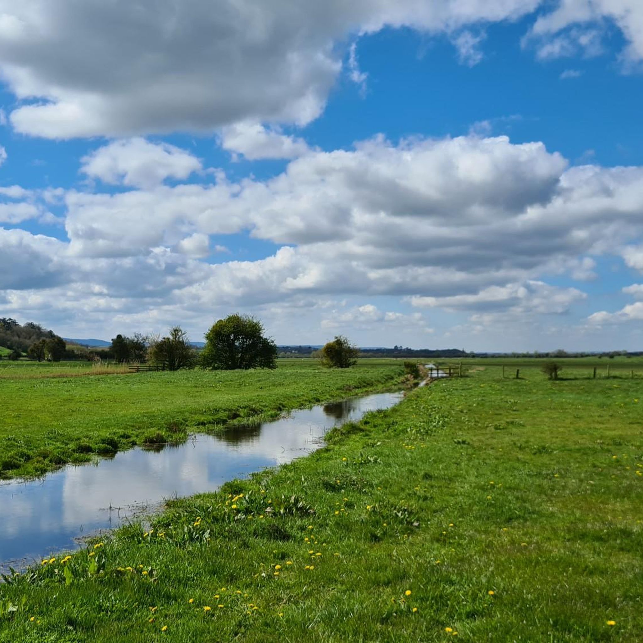
Burrowbridge is situated on the edge of the unique **Somerset Levels**, a vast, low-lying wetland landscape known for its flat terrain and extensive water management systems. The **River Parrett** flows through the area, and its banks offer scenic views. During winter, the Levels can transform into a 'giant pond,' making landmarks like Burrow Mump appear as islands. The area is ideal for experiencing a distinctive natural environment.
Are there any family-friendly activities or attractions in the Burrowbridge area?
The Bridgwater & Taunton Canal Path is a great option for families, offering easy walking and cycling along the canal. While Muchelney Abbey Ruins is a historical site, its open spaces and the impressive abbot's house can also be engaging for families interested in history. Exploring the flat paths of the Somerset Levels provides opportunities for gentle walks and observing local wildlife.
Where can I find good viewpoints to see the Somerset Levels?
The summit of Burrow Mump offers exceptional panoramic views across the Somerset Levels. From here, you can appreciate the vast, flat landscape and often spot Glastonbury Tor in the distance on clear days. The various riverside paths, such as the King's Sedgemoor Drain Riverside Path, also provide open vistas of the surrounding natural environment.
What is the significance of the pumping stations in the area?
Pumping stations, like the River Isle and Southmoor Pumping Station, are crucial for managing water levels in the Somerset Levels. Due to the low-lying nature of the land, these stations help prevent widespread flooding, a practice that has been essential for the region since Roman times. They are an integral part of the landscape and demonstrate the ongoing effort to manage this unique wetland environment.
What is the best time of year to visit Burrowbridge for outdoor activities?
The spring and summer months generally offer the most pleasant weather for walking and cycling around Burrowbridge and the Somerset Levels. However, visiting in late autumn or winter can provide a unique experience, as the Levels often flood, transforming the landscape and making Burrow Mump appear as an island. Be prepared for potentially muddy conditions and dress appropriately for the season.
Are there dog-friendly walking options near Burrowbridge?
Many of the public footpaths and trails around Burrowbridge, including sections of the King's Sedgemoor Drain Riverside Path and the Bridgwater & Taunton Canal Path, are suitable for walking with dogs. It's always recommended to keep dogs on a lead, especially near livestock or in nature conservation areas, and to follow the Countryside Code.
What kind of wildlife can I expect to see around Burrowbridge?
The Somerset Levels, being a wetland environment, are rich in birdlife. You might spot various waterfowl, waders, and raptors. The flat, open landscape also supports a range of insects and small mammals. Exploring the riverside paths and trails offers the best opportunities for wildlife observation.
Is Burrowbridge accessible by public transport?
While Burrowbridge is a rural village, local bus services connect it to larger towns like Bridgwater and Taunton. However, services may be infrequent, especially on weekends. It's advisable to check current bus schedules in advance if relying on public transport to reach the attractions.

Get inspired with the komoot mobile app


Explore more
Still not found the Highlight you’re looking for? See guides of the top attractions in other regions:
