The best walks and hikes around Burrowbridge
4.4
(160)
1,232
hikers
140
hikes
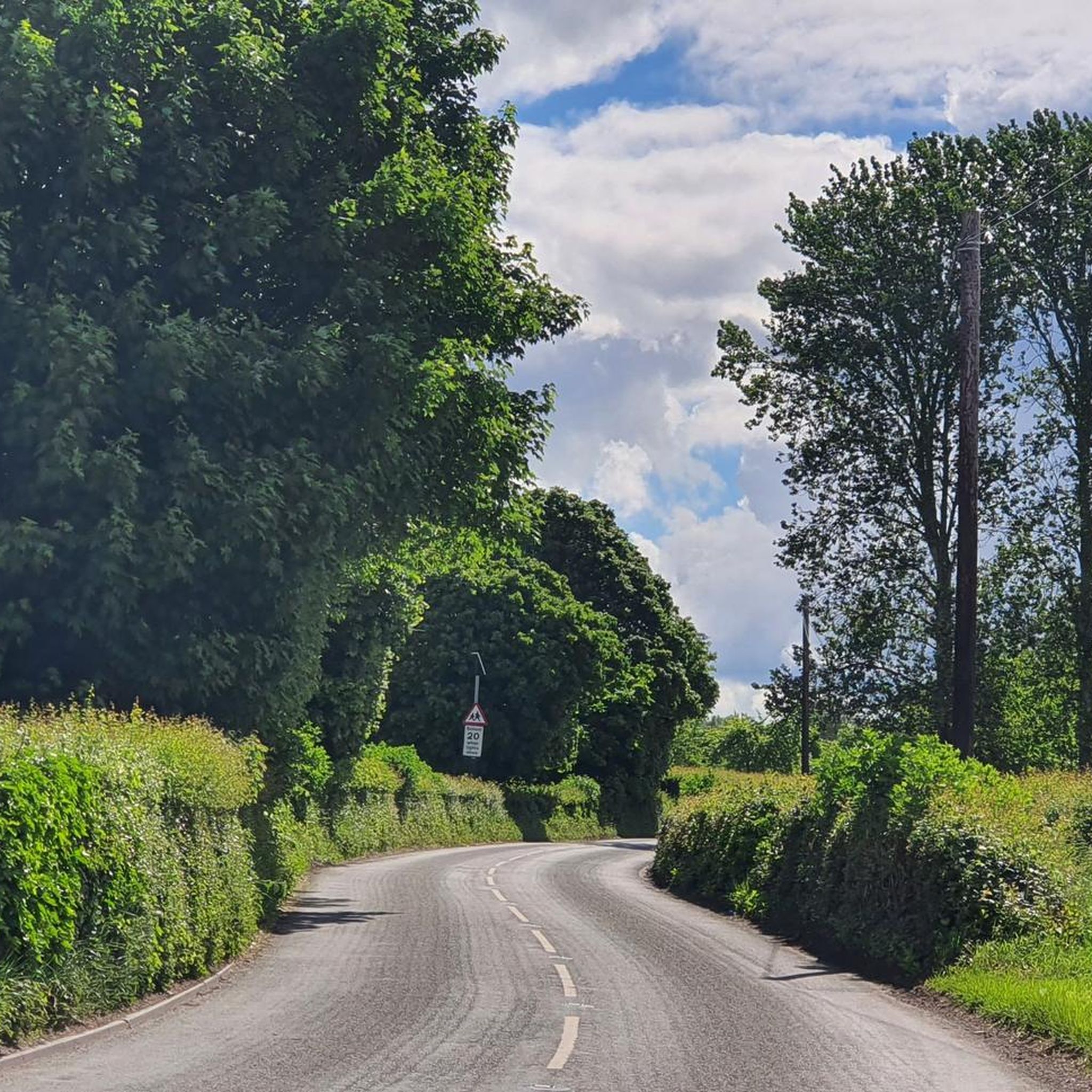
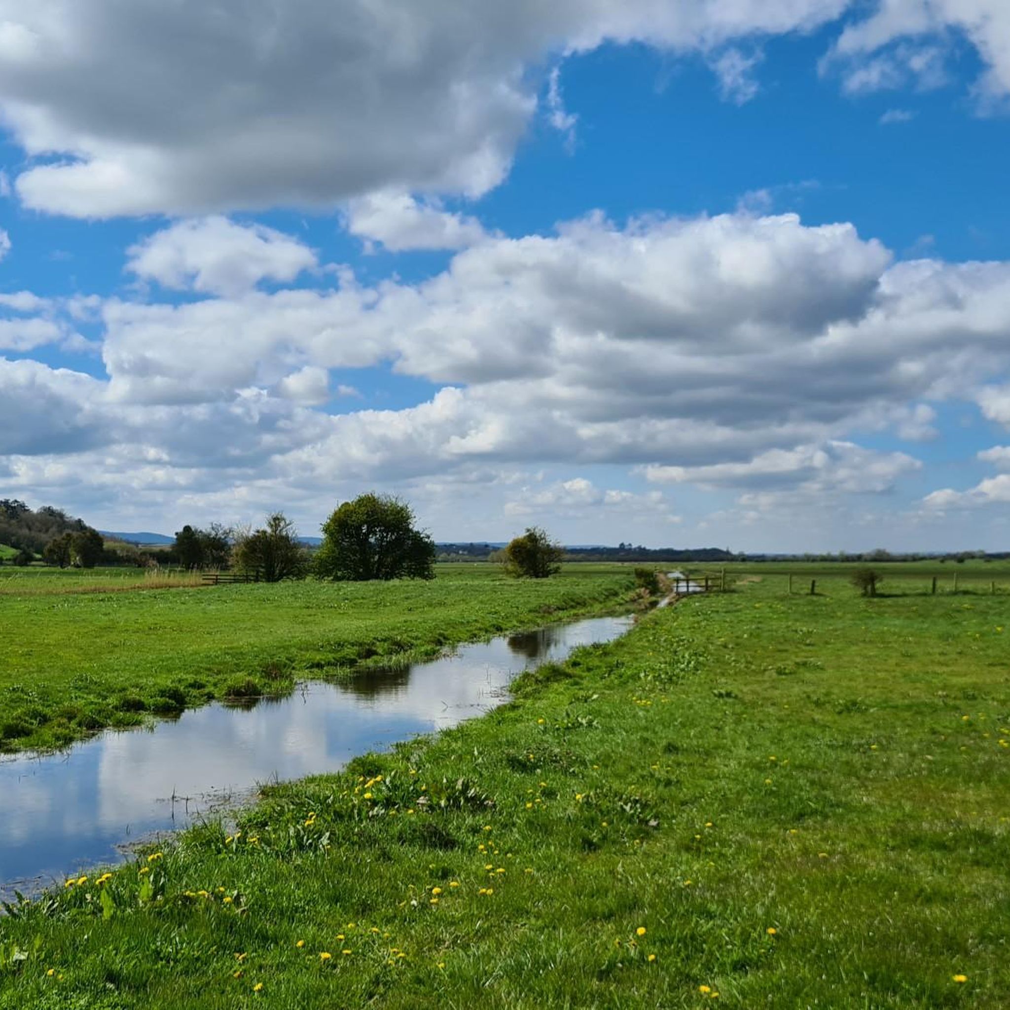
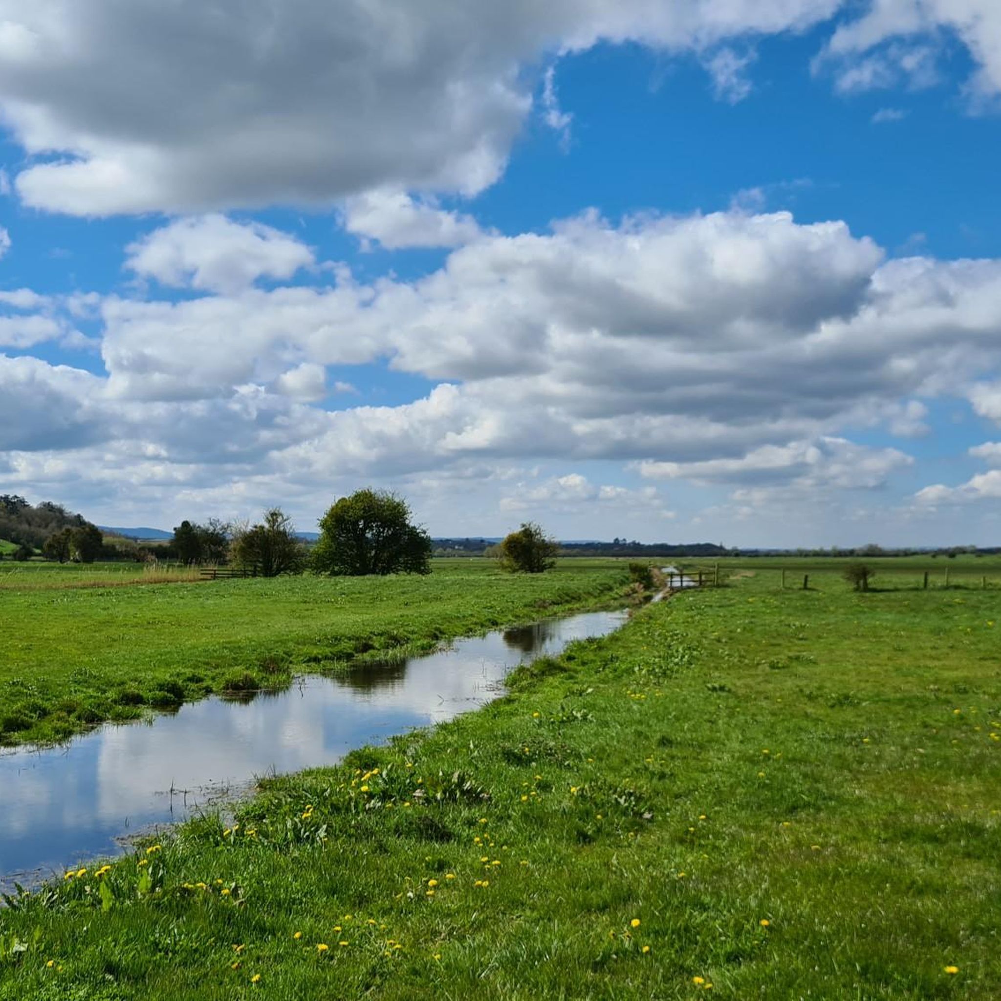
Hiking around Burrowbridge offers routes through the distinctive, generally flat terrain of the Somerset Levels, characterized by waterways and open landscapes. The area features the prominent Burrow Mump, a 79-foot (24-meter) hill that provides elevated viewpoints across the surrounding countryside. Trails often follow the River Parrett and traverse Southlake Moor, presenting a mix of easy, level paths and routes with some elevation gain.
Best hiking trails around Burrowbridge
- The most popular hiking route is Burrow Mump & West Sedge Moor…
Last updated: May 18, 2026
7
hikers
24.6km
06:28
200m
200m
Hard hike. Very good fitness required. Easily-accessible paths. Suitable for all skill levels.
4.4
(7)
31
hikers
10.7km
02:45
40m
40m
Moderate hike. Good fitness required. Easily-accessible paths. Suitable for all skill levels.

Sign up for free
5.0
(3)
18
hikers
Easy hike. Great for any fitness level. Easily-accessible paths. Suitable for all skill levels.
3.7
(3)
12
hikers
Moderate hike. Good fitness required. Easily-accessible paths. Suitable for all skill levels.
5.0
(1)
14
hikers
6.93km
01:45
10m
10m
Easy hike. Great for any fitness level. Easily-accessible paths. Suitable for all skill levels.
Get access to more routes and recommendations from other explorers.
Sign up for free
Already have an account?
Our route recommendations are based on thousands of hikes, rides, and runs completed by other people on komoot.
Start today with a free account
Your next adventure awaits.
Login or Signup
Tips from the Community

Shop items and coffee available 7 days a week. Open week days 7-5.30 and in the morning on weekdays. Nice garden to enjoy a coffee in the sun (or something stronger when the pub is open!)
0
0


Excellent food, either really good sandwiches or main meals. Very decent local beers and ciders. Well worth a detour but closed Monday and Tuesday
0
0

The monument at Athelney commemorates King Alfred the Greats occupation of the monastery and fort here in the late 800's. He is said to have hidden here when the rest of England was occupied by the Danes, Athelney at that time was a low-lying island within the Somerset levels. Alfred later raised an army and defeated the occupying forces at the battle of Edington in May 878.
1
0
The 43m high monument was built in 1767 to commemorate Sir William Pynsent, of the Pynsent Baronets. It was designed by Capability Brown for William Pitt. Legend has it that it was for his support on defeating the cider tax and is therefore locally known as the cider monument.
2
0

The prominent hill at Burrow Mump rises from the Somerset Levels, overlooking Southlake Moor in the village of Burrowbridge. It is a scheduled monument, and the ruined church on top of the hill is a Grade II listed building.
1
0


A great community initiative that has just taken off (Spring 2021). The first pint has just been pulled and the cafe has just opened its indoor seating. Lovely eats and a warm welcome.
0
0
Frequently Asked Questions
How many hiking trails are available around Burrowbridge?
There are over 140 hiking routes in the Burrowbridge area, offering a wide range of experiences. These include 80 easy routes, 60 moderate routes, and 3 more challenging options, ensuring something for every fitness level.
What kind of terrain can I expect on hikes around Burrowbridge?
Hikes around Burrowbridge primarily traverse the unique, generally flat terrain of the Somerset Levels, characterized by open landscapes and waterways like the River Parrett. You'll find tranquil paths along riverbanks and across fields. Some routes, particularly those involving Burrow Mump, will include a short, but noticeable, ascent to its summit.
Are there any family-friendly walks suitable for children?
Yes, Burrowbridge offers several easy, flat walks perfect for families. A good option is the Burrow Bridge and Toll Gate loop from Burrowbridge, which is 4.9 km (3 miles) and takes about 1 hour 14 minutes. These routes generally follow level paths across the Somerset Levels, making them accessible for all ages.
Can I bring my dog on the hiking trails in Burrowbridge?
Many trails around Burrowbridge are dog-friendly, especially those along the River Parrett and across the open Somerset Levels. However, please be mindful that you may encounter livestock in fields, so it's always best to keep dogs on a lead. Always check local signage for any specific restrictions.
What historical landmarks or points of interest can I see while hiking?
The most prominent landmark is Burrow Mump, with its ruined medieval church at the summit, offering extensive views. You might also encounter the River Isle and Southmoor Pumping Station, or walk alongside the King's Sedgemoor Drain Riverside Path. Further afield, Muchelney Abbey Ruins are also nearby.
Are there any circular walks available?
Yes, many of the routes around Burrowbridge are circular. For an easy option, consider the Burrow Bridge and Toll Gate loop from Burrowbridge. For a moderate challenge, the Burrow Bridge and Toll Gate – Burrow Mump loop from Aller is a popular choice that combines riverside walking with views of Burrow Mump.
What is the best time of year to go hiking in Burrowbridge?
Burrowbridge offers hiking opportunities year-round. Spring and summer provide pleasant weather for exploring the open Levels. Autumn brings beautiful colours, while winter can offer a unique experience, especially when the Levels flood and Burrow Mump becomes an island. Always check local conditions, especially during wet periods, as some paths may be muddy.
What do other hikers enjoy most about hiking in Burrowbridge?
The area is highly rated by the komoot community, with an average score of 4.3 stars from over 140 reviews. Hikers often praise the unique, expansive views across the Somerset Levels, the tranquility of the river paths, and the distinctive presence of Burrow Mump as a focal point.
Are there any longer or more challenging hikes in the area?
For those seeking a greater challenge, there are a few difficult routes available. The Burrow Mump & West Sedge Moor loop from Burrowbridge is a demanding 24.6 km (15.3 miles) trail that explores expansive moorland and includes the ascent of Burrow Mump. Another challenging option is the Red Hill loop from Stoke St. Gregory, which is 24.2 km (15 miles).
Is there parking available for hikers in Burrowbridge?
Yes, parking is generally available in or near Burrowbridge, particularly close to popular starting points for walks. Specific parking details can often be found on individual route descriptions on komoot or local information boards.
Can I reach hiking trails in Burrowbridge using public transport?
While public transport options to Burrowbridge may be limited, local bus services do connect some of the surrounding villages. It's advisable to check current bus schedules and routes in advance if you plan to rely on public transport to access the trailheads.
Most popular attractions around Burrowbridge

Get inspired with the komoot mobile app


Explore more
Browse the best Hikes in other regions.
