The best walks and hikes around Carballeda De Valdeorras
4.6
(391)
2,199
hikers
35
hikes
Hiking around Carballeda De Valdeorras offers diverse terrain, characterized by river valleys, forested areas, and mountainous landscapes, including access to the Peña Trevinca massif. The region features a mix of natural parks and agricultural lands, providing varied scenery for outdoor activities. Elevation changes are common, ranging from gentle riverside paths to more challenging mountain ascents. The area's geology includes granite and slate formations, contributing to its distinct natural environment.
Best hiking trails around Carballeda De Valdeorras
- The most popular hiking…
Last updated: May 23, 2026
5.0
(4)
33
hikers
17.6km
06:11
670m
670m
Hard hike. Very good fitness required. Mostly accessible paths. Sure-footedness required.
15
hikers
24.1km
08:01
1,050m
1,050m
Hard hike. Very good fitness required. Mostly accessible paths. Sure-footedness required.

Sign up for free
4.0
(1)
11
hikers
24.3km
07:20
800m
800m
Hard hike. Very good fitness required. Easily-accessible paths. Suitable for all skill levels.
5.0
(1)
7
hikers
Easy hike. Great for any fitness level. Easily-accessible paths. Suitable for all skill levels.
8
hikers
7.23km
01:52
30m
30m
Easy hike. Great for any fitness level. Easily-accessible paths. Suitable for all skill levels.
Get access to more routes and recommendations from other explorers.
Sign up for free
Already have an account?
Our route recommendations are based on thousands of hikes, rides, and runs completed by other people on komoot.
Start today with a free account
Your next adventure awaits.
Login or Signup
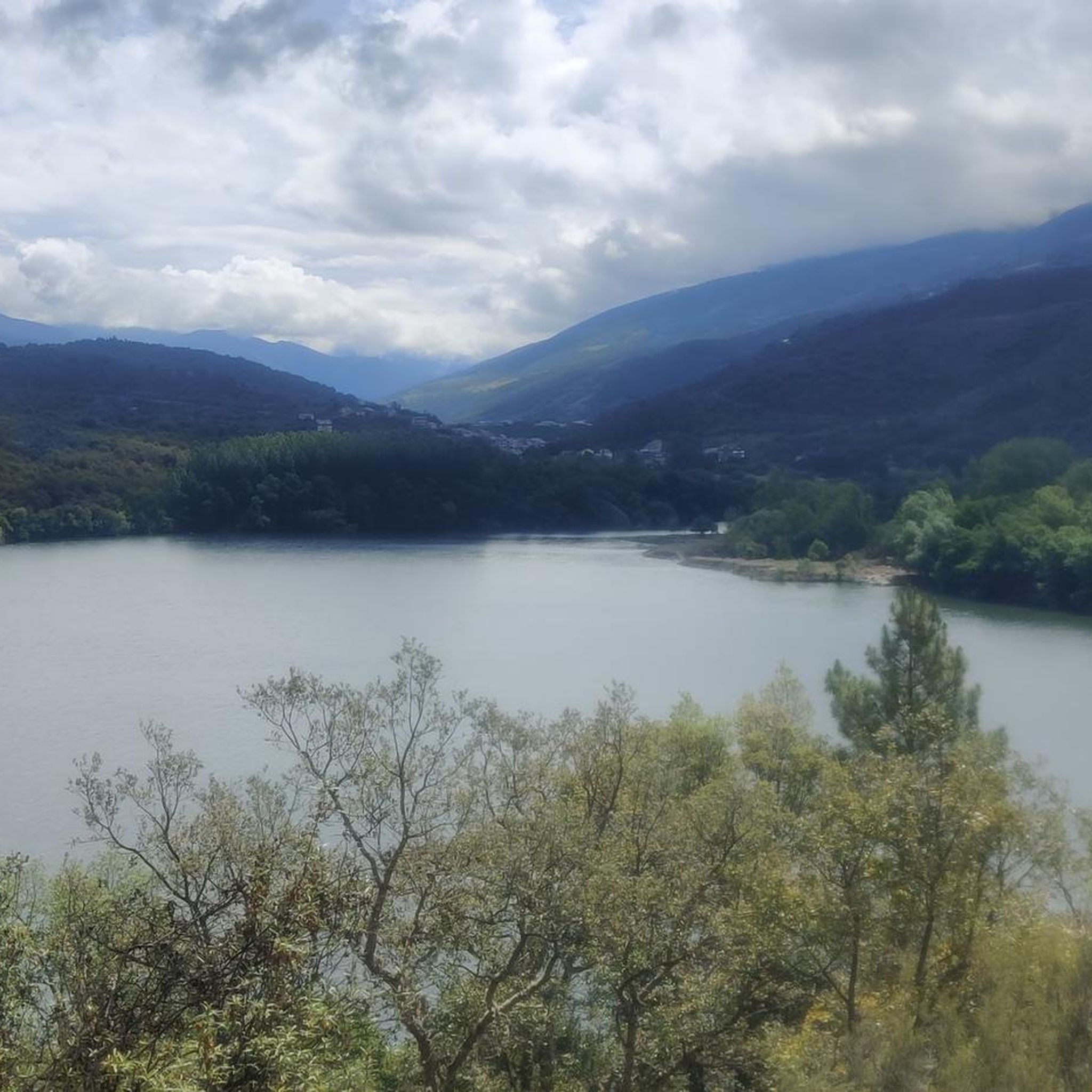
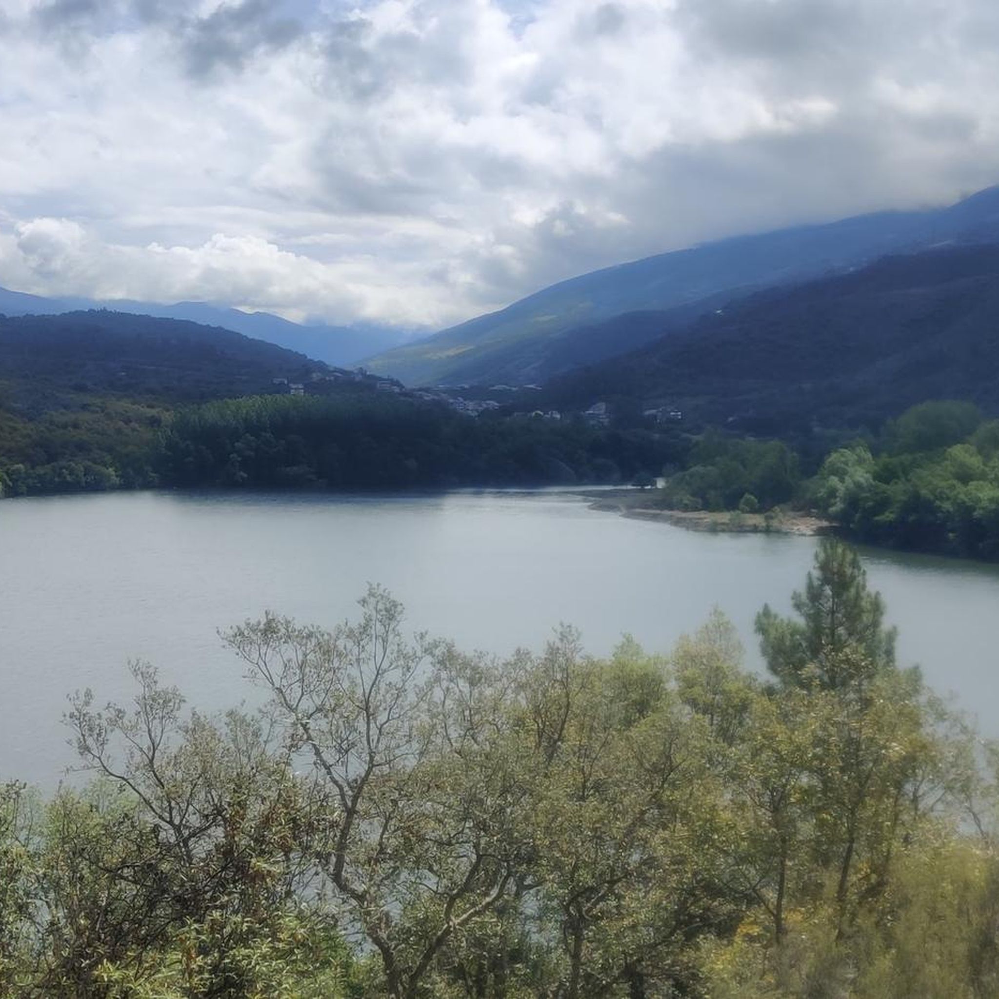
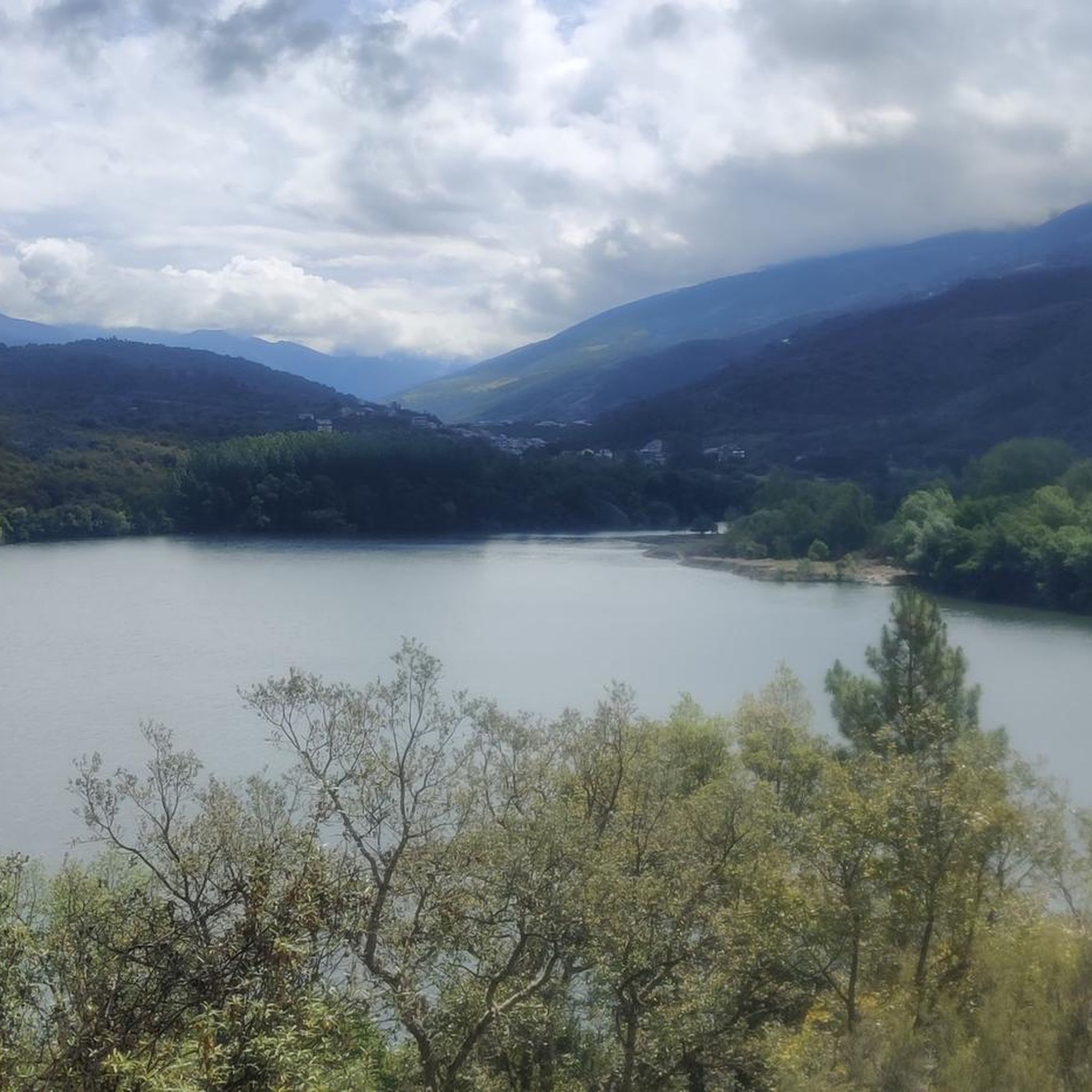
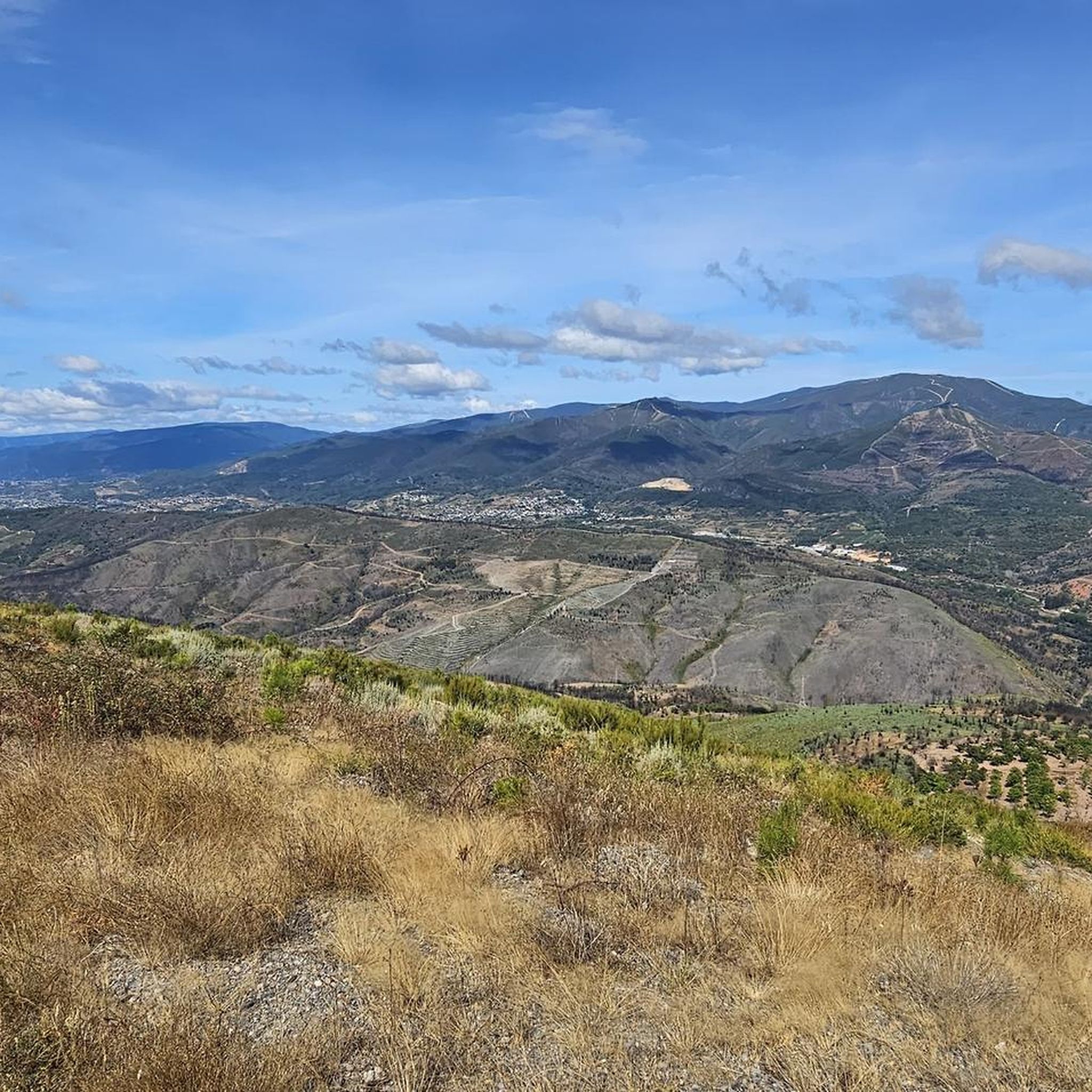
Tips from the Community

The summit of Galicia, with very good 360º views
0
0

In O Barco de Valdeorras there are several interesting murals that beautify the town. Mural by Orde Caos: In Praza das Airas, the artist Orde Caos has created a large mural that was inaugurated by the Centro Comercial Aberto (CCA) O Barco.
13
0

There is art on many buildings.
2
0
With a semicircular arch façade. Inside the temple it is possible to find artistic elements such as a baroque-style altarpiece or a carving of San Antonio Abad that have a certain artistic value.
10
0
Technically very easy route, most km. They are paved roads and the rest are on dirt tracks in good condition.
8
0
Located to the east of the province of Ourense, the Pena Trevinca mountains are a protected natural space that occupies almost 25,000 hectares. Its peaks, over 2,000 m high and snow-capped in winter, are crowned by glacial lakes such as O Celo or Lagoa da Serpe, with their purest, crystalline waters.
10
0

The Peña Trevinca peak is located at an altitude of 2127 meters above sea level and is located on the provincial border of Ourense with Zamora, thus being the highest peak of both provinces (Galicia and Zamora). The setting is spectacular. I personally recommend the climb from the Laguna de los Peces.
2
0

Small temple in Biobra, within the Serra da Enciña da Lastra natural park.
3
0
Frequently Asked Questions
How many hiking trails are available in Carballeda De Valdeorras?
Carballeda De Valdeorras offers a diverse network of over 35 hiking trails, catering to various skill levels from easy walks to challenging mountain ascents. The region's terrain includes river valleys, forested areas, and mountainous landscapes, providing varied scenery for outdoor activities.
Are there easy or family-friendly hiking options in Carballeda De Valdeorras?
Yes, Carballeda De Valdeorras has 11 easy trails suitable for families or those looking for a relaxed walk. An example is the Church of San Miguel de Biobra loop from Parque Natural da Serra da Enciña da Lastra, which is 2.5 miles (4.1 km) long and takes about 1 hour 18 minutes to complete, leading through the Parque Natural da Serra da Enciña da Lastra.
What are some challenging hikes in the Carballeda De Valdeorras region?
For experienced hikers seeking a challenge, there are 11 difficult trails. A notable option is the Peña Trevinca Summit loop from Vilanova, a demanding 15-mile (24.1 km) route with significant elevation gain, offering expansive mountain views.
Are there any circular hiking routes in Carballeda De Valdeorras?
Many of the trails in Carballeda De Valdeorras are designed as loops, allowing you to start and finish at the same point. For instance, the Hiking loop from O Barco de Valdeorras is an easy 4.5-mile (7.2 km) option that takes around 2 hours to complete.
What kind of natural attractions can I see along the hiking trails?
The region is rich in natural beauty. Hikers can explore areas with granite and slate formations, river valleys, and forested landscapes. Nearby attractions include several lakes such as Laguna de los Peces and Laguna Larga, offering serene spots to visit.
Are there any historical landmarks or points of interest near the hiking routes?
Yes, the area around Carballeda De Valdeorras is home to significant historical sites. You can visit the ancient Roman gold mines of Las Médulas, including the Orellán Galleries and La Encantada Cave and La Cuevona, which are fascinating to explore.
What do other hikers say about the trails in Carballeda De Valdeorras?
The hiking routes in Carballeda De Valdeorras are highly rated by the komoot community, with an average score of 4.6 stars from over 380 reviews. Hikers often praise the diverse terrain, from gentle riverside paths to challenging mountain ascents, and the well-maintained trails that showcase the region's natural beauty.
Is Carballeda De Valdeorras suitable for winter hiking?
While the region offers diverse terrain, including mountainous areas like the Peña Trevinca massif, winter conditions can be challenging. Higher elevations may experience snow and ice. It's advisable to check local weather forecasts and trail conditions, and be prepared with appropriate gear for winter hiking.
Are there any trails that offer views of the Río Mariñán?
Yes, the View of Alto de Xirimil – Río Mariñán loop from O Barco de Valdeorras is a difficult 15.3-mile (24.7 km) path that specifically explores the landscape around O Barco de Valdeorras, featuring views of the Alto de Xirimil and the Río Mariñán.
What is the best time of year to go hiking in Carballeda De Valdeorras?
The best time for hiking in Carballeda De Valdeorras is generally during spring, summer, and early autumn. These seasons offer more favorable weather conditions, with pleasant temperatures and less chance of snow in higher altitudes, making all types of trails more accessible and enjoyable.
Are there any specific peaks or summits accessible via hiking trails?
Yes, the region provides access to significant peaks. You can hike to the Pico de Placias, or embark on the Peña Trevinca Summit loop from Alto do Campo, which leads to the highest point in Galicia, offering expansive mountain views.
Most popular attractions around Carballeda De Valdeorras

Get inspired with the komoot mobile app


Explore more
Browse the best Hikes in other regions.
