The best running trails around Quintanilla Del Agua Y Tordueles
13
runners
12
runs
Jogging routes around Quintanilla Del Agua Y Tordueles traverse a diverse landscape in the province of Burgos, Castile and León, Spain. The region features a tranquil environment with green fields, crystalline streams, and historical elements. Runners can explore riverside forests along the Arlanza River, cultivated fields, and ancient oak groves. The terrain offers varied elevation, including the Alto de Peña Alta, providing options for different running preferences.
Best jogging routes around Quintanilla Del Agua Y Tordueles
- The most popular jogging…
Last updated: July 25, 2026
Hard run. Very good fitness required. Mostly accessible paths. Some sure footedness required.
13.2km
01:39
260m
260m
Moderate run. Good fitness required. Mostly accessible paths. Some sure footedness required.

Sign up for free
3.67km
00:24
50m
50m
Easy run. Great for any fitness level. Mostly paved surfaces. Suitable for all skill levels.
5
runners
7.52km
00:49
50m
50m
Moderate run. Good fitness required. Mostly paved surfaces. Suitable for all skill levels.
4
runners
11.9km
01:17
100m
100m
Moderate run. Good fitness required. Mostly paved surfaces. Suitable for all skill levels.
Get access to more routes and recommendations from other explorers.
Sign up for free
Already have an account?
Our route recommendations are based on thousands of hikes, rides, and runs completed by other people on komoot.
Start today with a free account
Your next adventure awaits.
Login or Signup
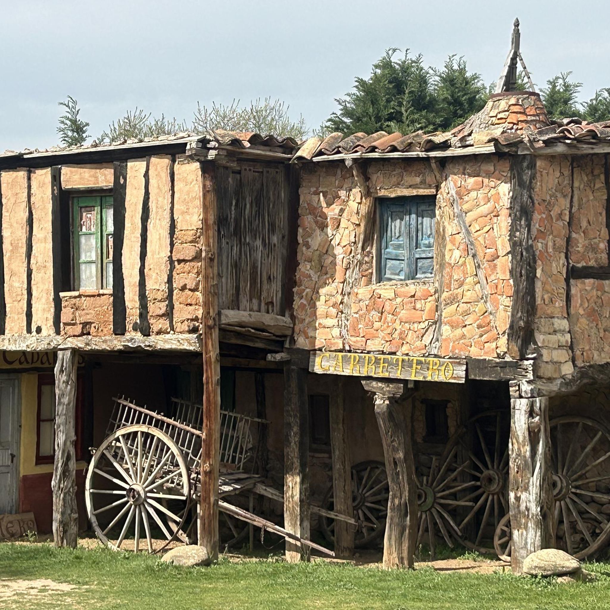
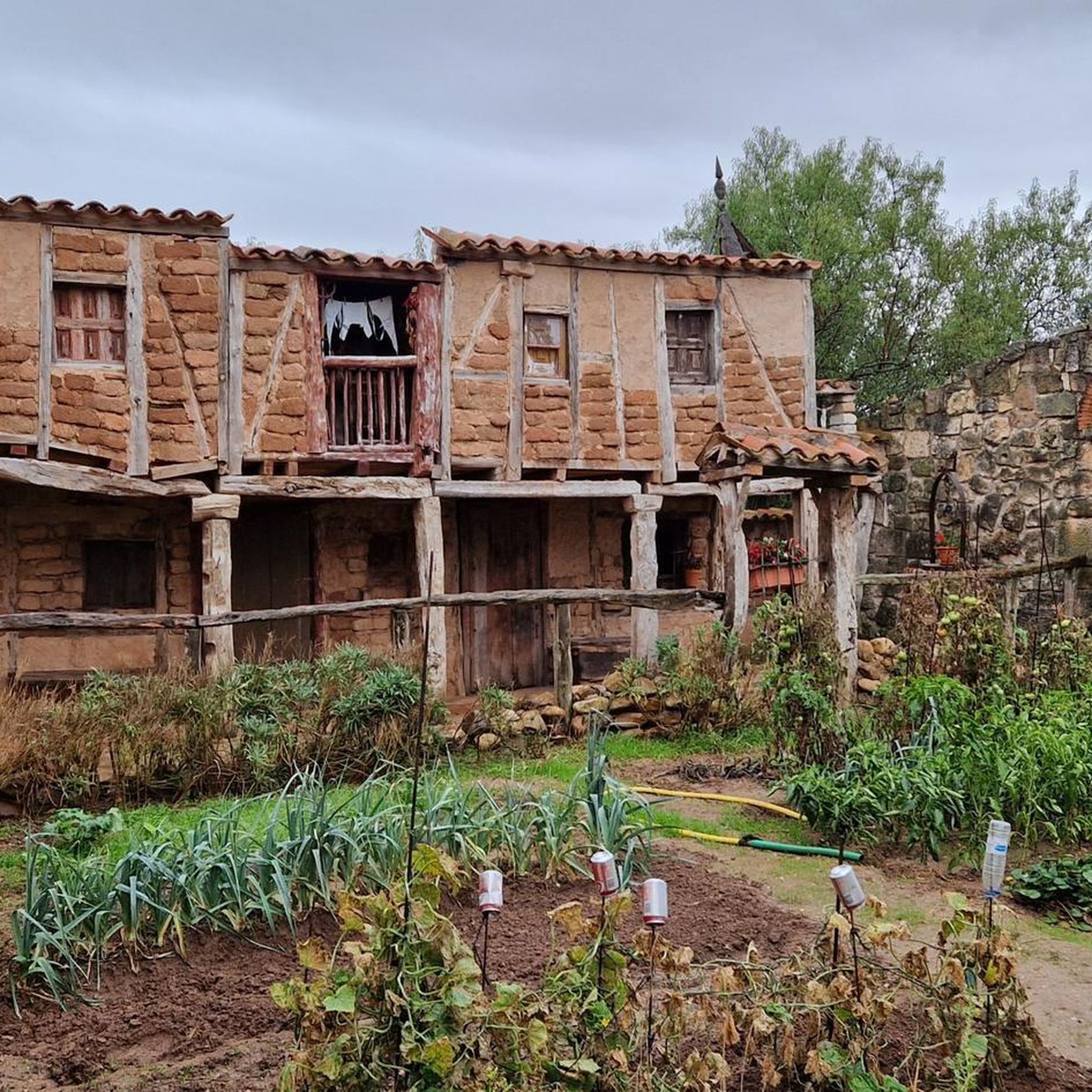
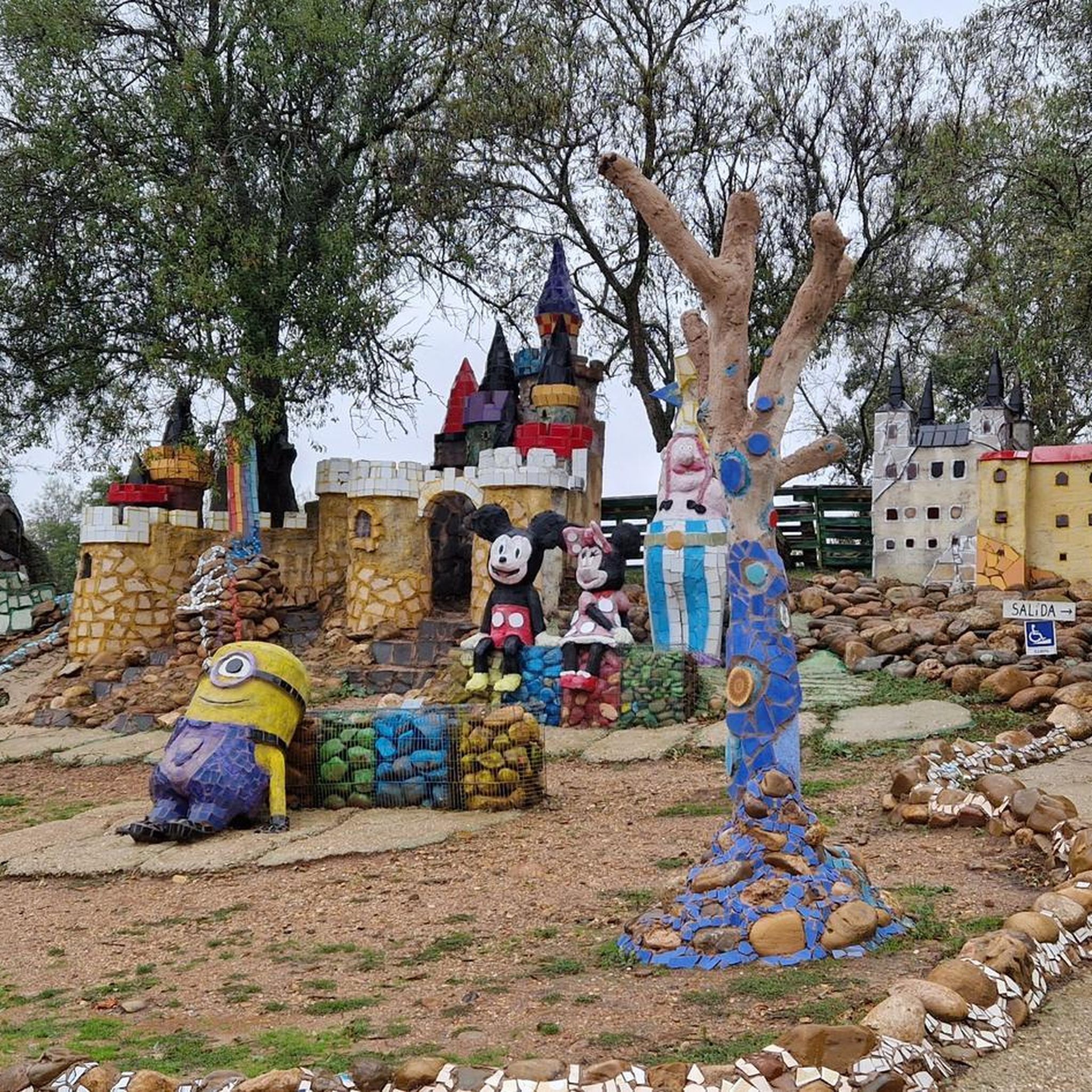
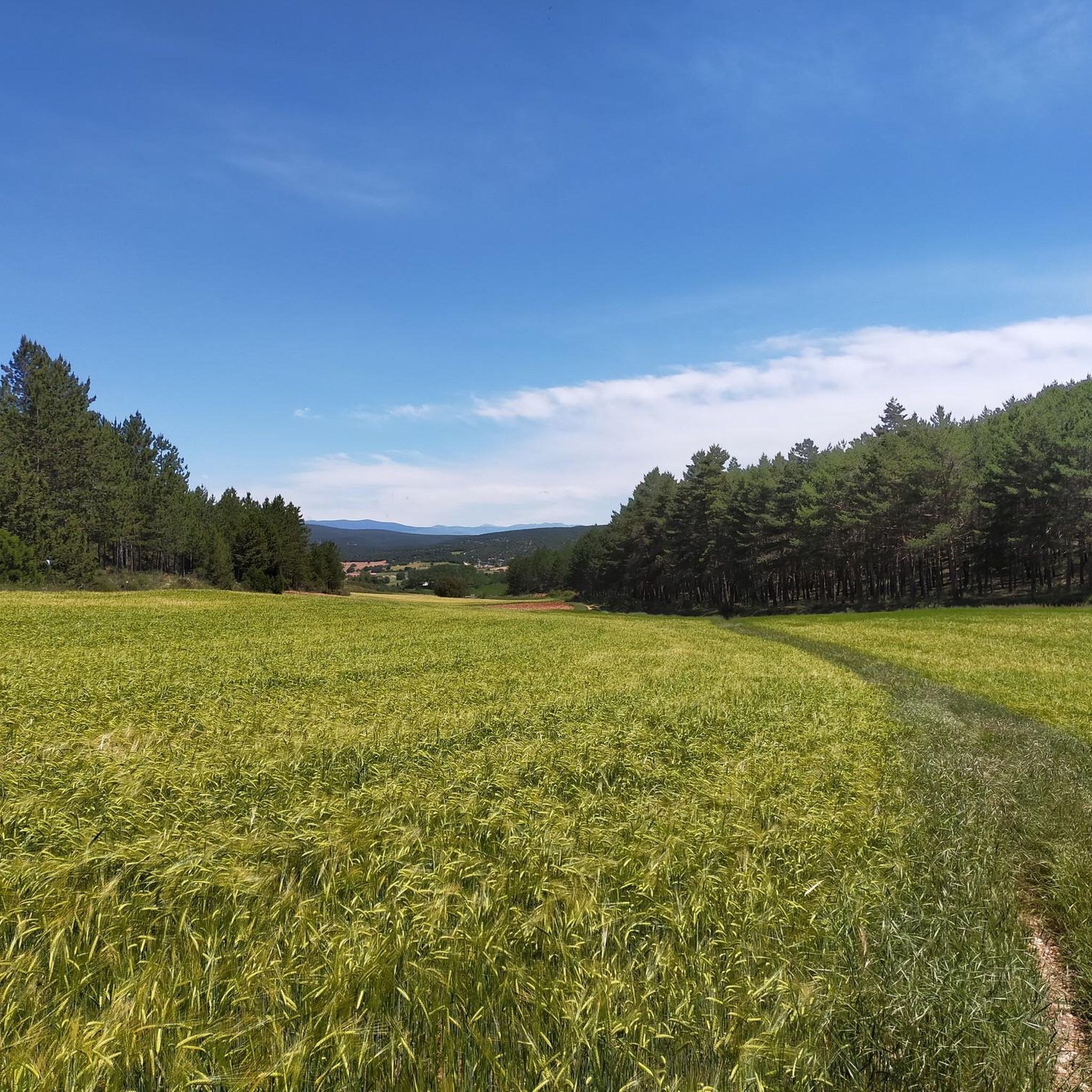
Tips from the Community

Spectacular area for hiking routes
0
0

Impressive square in the upper part of the town, with the ducal palace on one side. Enjoy the climb from the lower part of the town with caution due to the amount of people who usually wander around the streets of this beautiful town.
0
0
Wonderful views of the Arlanza Valley from this impressive viewpoint.
0
0

Come in and enjoy its atrium
1
0
Try not to come during the holidays and you will be able to enjoy this magnificent square in all its splendor.
0
0

With this powerful name, the town has a fountain where we can supply ourselves.
0
0

Beautiful hermitage recently built, due to the special devotion to the Virgen del Camino that the inhabitants of Mecerreyes have.
1
0
Frequently Asked Questions
How many running trails are available around Quintanilla Del Agua Y Tordueles?
There are over 10 dedicated running routes around Quintanilla Del Agua Y Tordueles, offering a diverse range of experiences for all fitness levels. These include easy riverside paths, moderate loops through the countryside, and more challenging trails with significant elevation gain.
What kind of terrain and difficulty can I expect on the running routes?
The running routes in Quintanilla Del Agua Y Tordueles feature a varied terrain, from tranquil riverside forests along the Arlanza River to cultivated fields and ancient oak groves. You'll find options ranging from easy, relatively flat paths to more difficult trails with notable elevation changes, such as those leading towards the Alto de Peña Alta. The area offers 1 easy, 6 moderate, and 3 difficult routes.
Are there any circular running routes in Quintanilla Del Agua Y Tordueles?
Yes, many of the running routes are circular, allowing you to start and finish in the same location. For example, the Camino del Cid from Covarrubias — circular through the Sabinares de Arlanza Natural Park - La Yecla is a challenging 10.1-mile loop, and the Mirador de los Arcos y Río Arlanza — circular por Lerma offers an easy 2.3-mile option.
What are some interesting landmarks or natural features I can see along the running paths?
The routes often pass by significant natural and historical points of interest. You might encounter the picturesque Mataviejas Gorge, known for its pleasant walk, or enjoy panoramic views from the Alto de Peña Alta. Some trails also lead near the Historic Center of Covarrubias or the Statue of El Cid in Mecerreyes, adding cultural depth to your run.
Are there any family-friendly running options suitable for children?
While specific routes are not designated as 'family-friendly' in the data, the easy sections along the Arlanza River or the gentle paths within the Mataviejas Gorge are generally accessible and pleasant for families with children. These areas offer a tranquil environment away from challenging terrain.
What do other runners enjoy most about the trails in Quintanilla Del Agua Y Tordueles?
The komoot community highly values the diverse landscapes and peaceful atmosphere of the running trails. Many runners appreciate the mix of riverside forests, cultivated fields, and ancient oak groves, as well as the options for both easy runs and more challenging routes with elevation gain. Over 16 runners have used komoot to explore the area's varied terrain.
Are there any running routes that offer significant elevation gain for a more challenging workout?
Yes, for runners seeking a challenge, routes like the Historic Center of Covarrubias – Casa de Doña Sancha loop from Covarrubias offer substantial elevation gain, with over 700 meters of ascent. The region's terrain includes areas like the Alto de Peña Alta, providing rewarding inclines and panoramic views for those looking to push their limits.
Can I find shorter, easier jogging paths for a quick run?
Absolutely. If you're looking for a shorter, less strenuous run, the Mirador de los Arcos y Río Arlanza — circular por Lerma is an excellent choice. This easy 2.3-mile trail along the Arlanza River can be completed in about 23 minutes, perfect for a refreshing jog.
What is the best time of year to go running in Quintanilla Del Agua Y Tordueles?
Quintanilla Del Agua Y Tordueles offers a pleasant environment for running throughout much of the year. Spring and autumn generally provide the most comfortable temperatures and vibrant scenery. During summer, it's advisable to carry water, especially on more exposed routes like the Mataviejas Gorge, due to sun exposure. The diverse terrain ensures beautiful views in any season.
Are there any moderate-difficulty running loops that offer scenic views?
Certainly. The San Clemente - Mecerreyes Loop is a popular moderate 8.2-mile path that features varied terrain and scenic views of the surrounding countryside. It's a great option for runners looking for a balanced workout with beautiful natural backdrops.
Where can I find parking near the running trails?
While specific parking locations for each trail are not detailed, Quintanilla Del Agua Y Tordueles and nearby towns like Covarrubias and Lerma typically offer public parking options. It's recommended to check local signage upon arrival or consult detailed route information on komoot for specific starting points and parking suggestions.
Most popular routes around Quintanilla Del Agua Y Tordueles
Most popular attractions around Quintanilla Del Agua Y Tordueles

Get inspired with the komoot mobile app


Explore more
Browse the best Running Trails & Routes in other regions.
