The best running trails around Santiago-Pontones
5.0
(3)
342
runners
31
runs
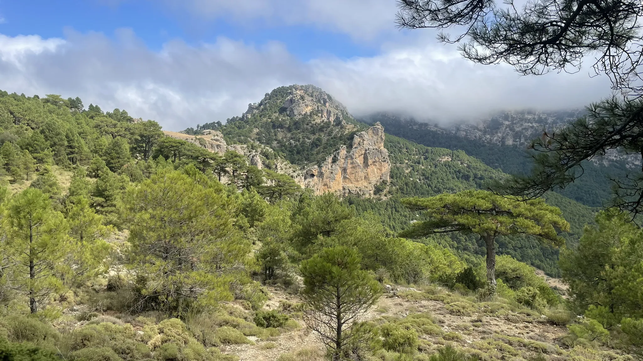
Jogging routes Santiago-Pontones are set within the vast Sierras de Cazorla, Segura y Las Villas Natural Park, characterized by an "orographic labyrinth" of valleys, mountains, gorges, and flatlands. This region features rugged mountains, crystalline rivers, and significant elevation changes, with villages like Pontones at 1340 meters above sea level. The diverse terrain includes lush landscapes around the source of the Segura River and impressive karst formations.
Best jogging routes around Santiago-Pontones
- The most popular jogging route is El Yelmo -…
Last updated: October 3, 2026
2
runners
Hard run. Very good fitness required. Sure-footedness, sturdy shoes and alpine experience required.
1
runners
18.3km
02:04
370m
370m
Alto del Montero Circular Trail is a difficult 11.3-mile (18.3 km) jogging route in Sierras de Cazorla, Segura y Las Villas Natural Park.

41
runners
Hard run. Good fitness required. Sure-footedness, sturdy shoes and alpine experience required.
11
runners
17.4km
02:16
630m
630m
Hard run. Very good fitness required. Mostly paved surfaces. Suitable for all skill levels.
13
runners
46.9km
06:13
1,570m
1,560m
Hard run. Very good fitness required. Sure-footedness, sturdy shoes and alpine experience required.
Get access to more routes and recommendations from other explorers.
Already have an account?
Our route recommendations are based on thousands of hikes, rides, and runs completed by other people on komoot.
Start today with a free account
Your next adventure awaits.
Popular around Santiago-Pontones

Bikepacking the mountains and deserts of Andalucía
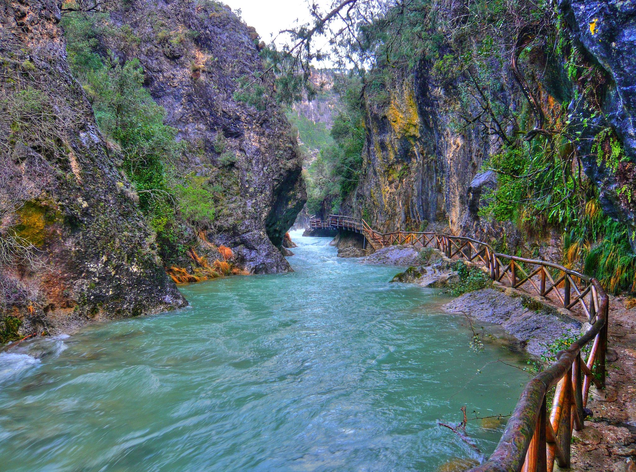
Through the Borosa Gorge to the highest peak of the Sierra de Segura

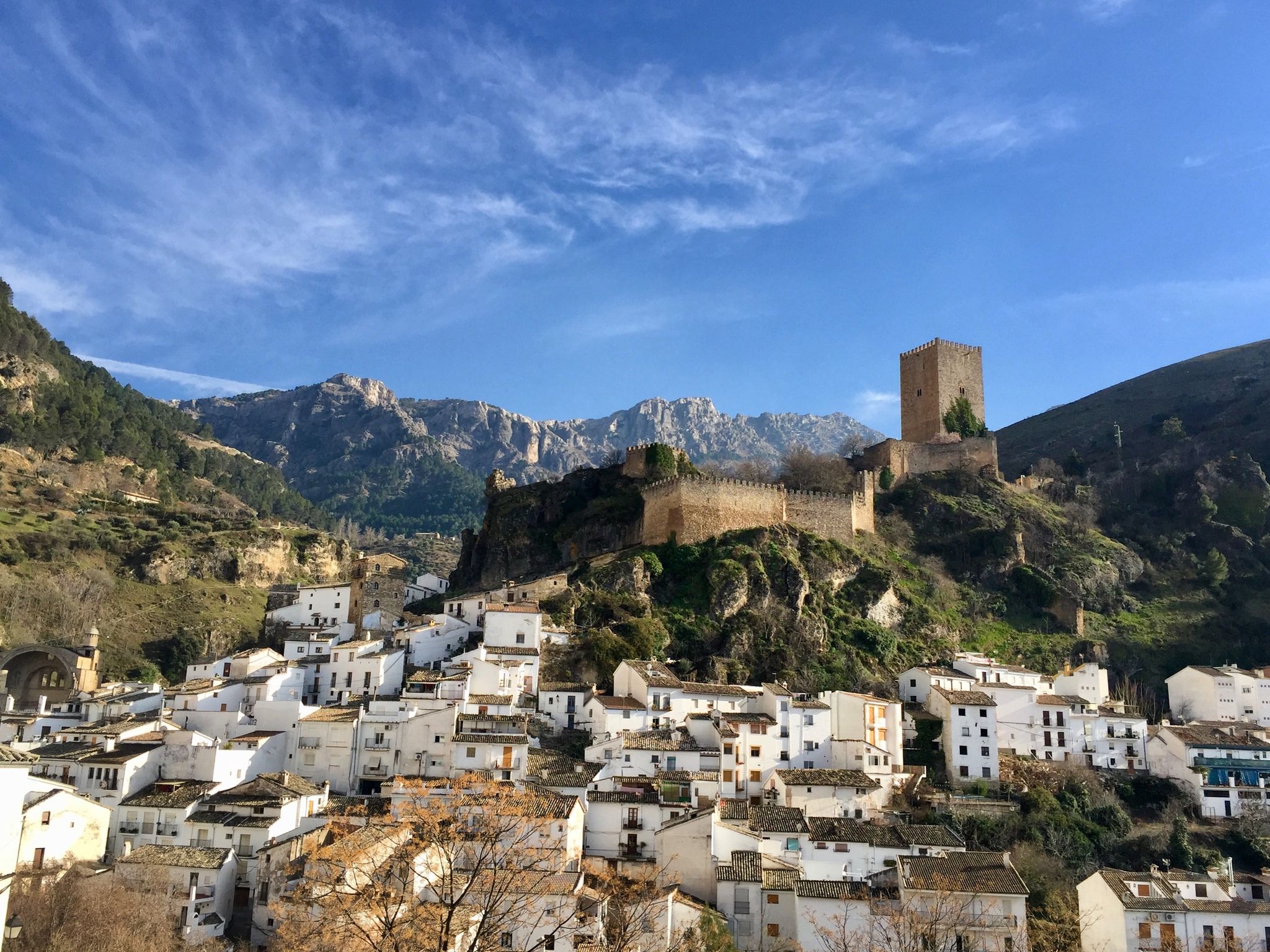
Bikepacking in Andalusia – Europe's gravel paradise
European Divide Trail across the Iberian Peninsula – central
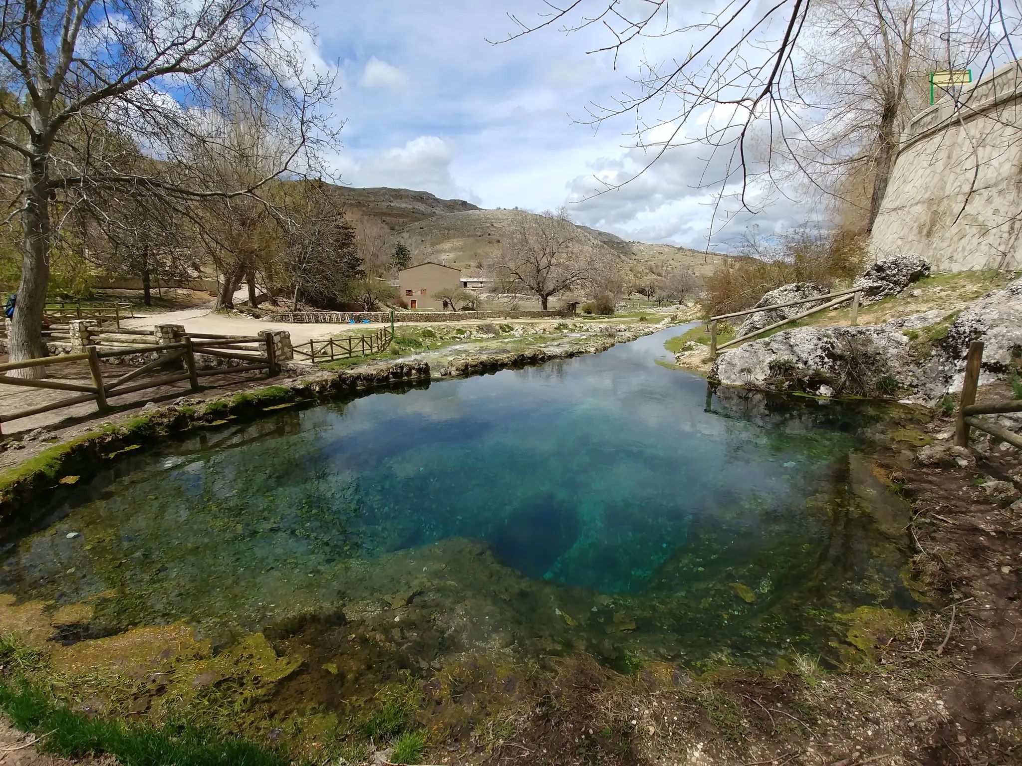
Transhumance in the Sierra de Segura – hiking the GR 144

Wild and free Andalusia – Transandalus through the interior

Explore the Betic Mountains on two wheels – Altravesur
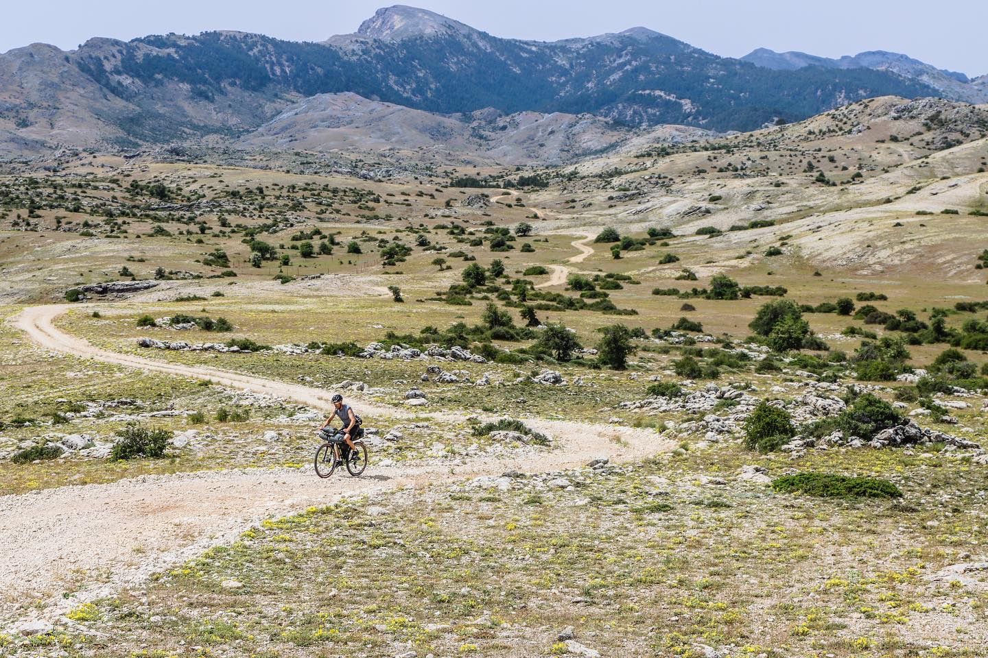
A wild experience – Sierra de Cazorla, Segura y Las Villas (GR 247)

A circular high altitude trail – Bosques del Sur (GR 247)
Explore the the secrets of Jaén – La Sierra de Segura Profunda (GR 147)
Other adventures around Santiago-Pontones


Tips from the Community

Beautiful trail in a narrow canyon formed by the river.
1
0


The Cueva del Agua in Santiago-Pontones is an impressive karst formation located in the Sierra de Segura, in Jaén. This cave is known for its natural beauty and spectacular surroundings, which include waterfalls and rich vegetation.
5
0

This is a spring located in Huelga Utrera very close to the village of La Toba, and which through a path goes upriver to Pontón Bajo, passing first by the Cueva del Agua de Poyotello
1
0

Beautiful village on the GR7 hiking trail
5
0
The town is the head of the region and is the last town in the province of Jaén. After the unification with the village of Pontón Bajo and Alto, it is called Santiago-Pontones, sharing the Town Hall.
4
0
This spring located in the village of La Toba, flows very cold water in summer and warm in winter (although the water is always at the same temperature), inviting anyone to cool off or fill up with fresh water.
1
0

Right next to the village of La Toba is the so-called Nacimiento de la Toba, a birthplace with singular beauty where water flows from a cave. Later, the water thrown by this source runs through the village of La Toba until it falls over a waterfall, which in times of rain when the riverbed is abundant, presents one of the most striking landscapes in Santiago-Pontones. To access the Nativity of La Toba we must drive to the village of La Toba and then walk a little until we find the Nativity. The village can be reached by taking the Despiernacaballos road, whose intersection is located on the road that connects Santiago de la Espada and Pontones or from Santiago de La Espada taking the road that takes us to Miller, JV-7107, once Once we arrive at Las Juntas de Miller we will continue along the JF-7038 highway that will take us to La Toba. During the trip along both routes we will be able to enjoy wonderful landscapes.
19
0
Frequently Asked Questions
How many running routes are available in Santiago-Pontones?
Santiago-Pontones offers a diverse selection of over 20 running routes, catering to various preferences within the stunning Sierras de Cazorla, Segura y Las Villas Natural Park. These trails allow you to explore the region's rugged mountains, crystalline rivers, and unique landscapes.
What are the difficulty levels of the running trails in Santiago-Pontones?
The running trails in Santiago-Pontones are predominantly challenging, with 19 routes rated as difficult and 3 as moderate. There are currently no easy routes listed, making it an ideal destination for experienced runners seeking a demanding outdoor experience. The region's 'orographic labyrinth' of valleys and mountains contributes to these varied difficulty levels.
Are there any circular running routes in Santiago-Pontones?
Yes, Santiago-Pontones features several excellent circular running routes. For instance, the Charco del humo and cueva del agua from Pontones - circular trailrunning is a difficult 10.5-mile (16.9 km) path that takes you past natural features like Charco del Humo and Cueva del Agua. Another option is the Alto del Montero Circular Trail, a difficult 11.3-mile (18.3 km) route.
Can I find routes with waterfalls or interesting natural features?
Absolutely! The region is rich in natural beauty. The Charco del humo and cueva del agua from Pontones - circular trailrunning specifically passes by the impressive Cueva del Agua, a karst formation known for its waterfalls and lush vegetation. You can also find the La Toba Spring, a beautiful river highlight, among the many natural attractions.
What are some notable landmarks or viewpoints I can encounter on a run?
Many routes offer stunning views and pass by significant landmarks. You might encounter mountain passes like Despiernacaballos Pass or the Final section of the Puerto del Yelmo. For panoramic vistas, consider routes near the Puerto de las Palomas Viewpoint. The region's rugged mountains, like La Peña Palomera, also provide challenging routes with significant elevation gains and rewarding views.
What is the best time of year for jogging in Santiago-Pontones?
Given that villages like Pontones are at an altitude of 1340 meters above sea level, the region offers a unique climate with cool summers. This makes it an ideal escape from the heat and a refreshing time for outdoor activities like jogging. Spring and autumn also provide pleasant temperatures for exploring the diverse terrain.
Are there any long-distance running opportunities in the area?
Yes, for those seeking longer distances, the GR 144 (Transhumance in the Sierra de Segura) offers opportunities for long-distance running through the region's historical transhumance routes. Additionally, routes like the Laguna de Aguas Negras loop from Aparcamiento Rio Borosa cover over 21 km, providing a substantial challenge.
What do other runners enjoy most about jogging in Santiago-Pontones?
The running routes in Santiago-Pontones are highly rated by the komoot community, with an average score of 5.0 stars from over 4 reviews. Runners often praise the challenging trail running experiences within the protected natural park, the diverse terrain, and the stunning natural features like crystalline rivers and impressive karst formations.
Are there any routes that follow rivers or water sources?
Yes, the region is known for its hydrological importance. The municipality is home to the source of the Segura River, which contributes to lush landscapes and offers picturesque routes for jogging alongside flowing water. The Charco del humo and cueva del agua from Pontones route, for example, features water-related natural highlights.
What kind of terrain can I expect on the running trails?
You can expect a highly varied terrain. Santiago-Pontones is characterized by an 'orographic labyrinth' of valleys, rugged mountains, gorges, and flatlands. This includes everything from challenging ascents on routes like Pico Mentiras y Peña Palomera to paths alongside crystalline rivers and through lush vegetation.
Are there any specific routes recommended for experienced trail runners?
Experienced trail runners will find plenty of challenging options. The El Yelmo - trail running in the Cazorla, Segura and Las Villas Sierras National Park is a difficult 11.8-mile (18.9 km) trail, requiring very good fitness. Another demanding option is the Pico Mentiras y Peña Palomera, an 8.1-mile (13.0 km) trail leading through mountainous terrain with significant elevation.
Most popular routes around Santiago-Pontones
Most popular attractions around Santiago-Pontones

Get inspired with the komoot mobile app


Explore more
Browse the best Running Trails & Routes in other regions.
