The best cycling routes around Ortigosa Del Monte
4.4
(8)
363
riders
46
rides
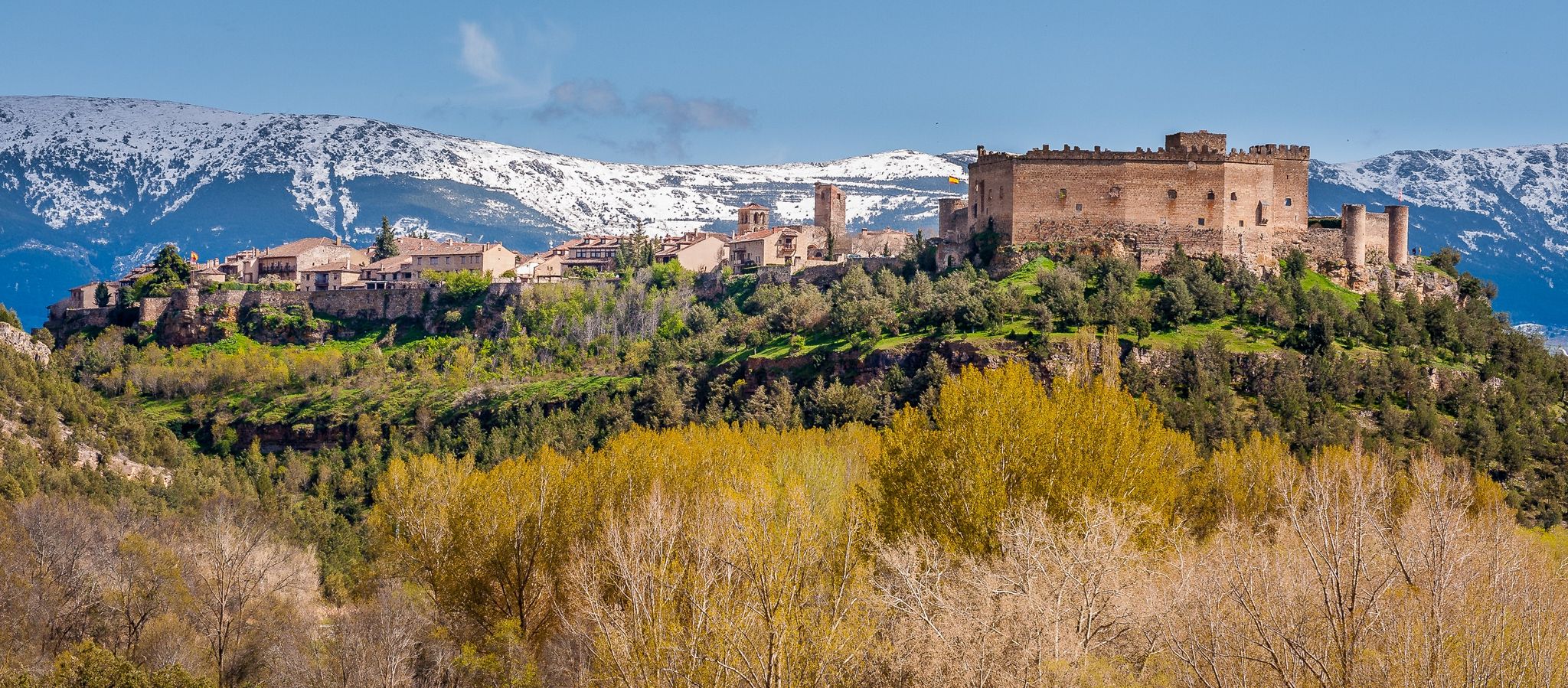
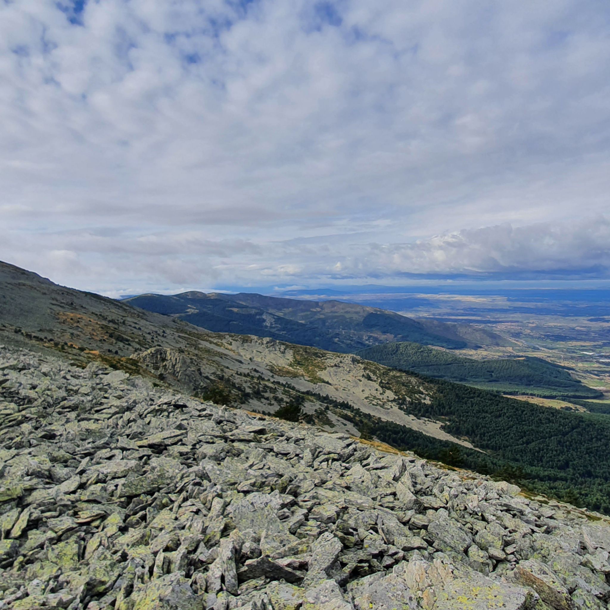
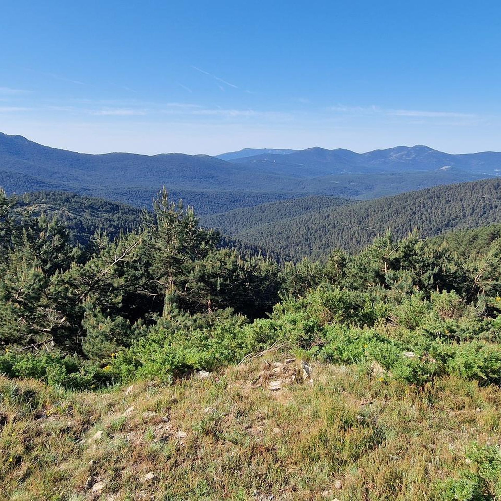
Touring cycling around Ortigosa del Monte offers diverse natural landscapes and varied terrain. The region is characterized by unique granite formations in areas like El Berrocal, alongside well-preserved mixed forests featuring ash, oak, holm oak, and cork oak. Riverine vegetation lines waterways such as the Milanillos River, and routes often provide views of the Sierra de la Mujer Muerta. The broader area includes sections of the Sierra de Guadarrama, providing a mix of elevations for touring cyclists.
Best touring cycling…
Last updated: July 28, 2026
28
riders
46.7km
04:01
850m
850m
Hard bike ride. Very good fitness required. Mostly paved surfaces. Suitable for all skill levels.
3.0
(2)
103
riders
18.6km
01:33
460m
460m
Hard bike ride. Very good fitness required. You may need to push your bike for some segments of this route.

Sign up for free
5.0
(1)
77
riders
50.3km
04:53
1,100m
1,100m
Hard bike ride. Very good fitness required. Mostly paved surfaces. Suitable for all skill levels.
5.0
(1)
35
riders
52.7km
04:16
1,340m
1,340m
Hard bike ride. Very good fitness required. Mostly paved surfaces. Suitable for all skill levels.
12
riders
Hard bike ride. Very good fitness required. Mostly paved surfaces. Suitable for all skill levels.
Get access to more routes and recommendations from other explorers.
Sign up for free
Already have an account?
Our route recommendations are based on thousands of hikes, rides, and runs completed by other people on komoot.
Start today with a free account
Your next adventure awaits.
Login or Signup
Popular around Ortigosa Del Monte


Other adventures around Ortigosa Del Monte

Tips from the Community

mandatory pass to access both Segovia and the heap of wheat, a peak that is quite a challenge, especially if you come from the Puerto de Navacerrada doing all the 7 peaks along the summits
0
0
Key Facts: Cela Sundial Location: It is located in the Pradera de Navarrulaque (Cercedilla), at an altitude of about 1,670 meters, right on the Carretera de la República. History: Inaugurated in 1995, it is a tribute to the writer (a great lover of the mountains and author of Cuadernos del Guadarrama) and to the first hikers who traversed these mountains. Curiosity: It is an analemmatic sundial. This means it does not have a fixed needle; you are the clock yourself. You have to stand on the current date marked on the ground, and your own shadow will indicate the time on the stone pieces surrounding you. Surroundings: It is on a beautiful route that passes by the Ducha de los Alemanes and the Miradores de los Poetas. I love this sundial in honor of Cela. It's super original because you interact with it to know the time. It's in a privileged spot in the Sierra de Cercedilla, surrounded by pine trees and with a lot of peace. A "rural monument" with a lot of charm that I never tire of visiting on my hikes through the Valle de la Fuenfría.
0
0
Poetry with the best views of the sierra Climbing up to the Mirador de Vicente Aleixandre is, for me, one of the most inspiring experiences in Cercedilla. It's not just the hike through the Valle de la Fuenfría, which is beautiful, but the moment you reach that rock and read its sculpted verses while contemplating Siete Picos. You breathe in an incredible peace. It's the perfect place to stop, sit down to rest, and feel part of the landscape that the poet loved so much.
0
0

Exceptional water, which even people from the village come to collect.
0
0
Good, fresh water
0
0
The Vicente Aleixandre viewpoint, or Poets' Viewpoint, offers an unbeatable view of the entire mountain range. Cercedilla lies at our feet, the Bola del Mundo peak rises above, and some verses are engraved on the rock to commemorate the recitals that were once held there.
1
0
Fountain with fresh, good water. A must-stop before starting the Fuefría route.
0
0

If the Queen drank this water, it is because it is good and fresh.
0
1
Frequently Asked Questions
How many touring cycling routes are available around Ortigosa Del Monte?
There are over 35 touring cycling routes around Ortigosa Del Monte. These routes offer a variety of experiences, from moderate paths to more challenging rides with significant elevation changes.
What are the difficulty levels of touring cycling routes in the area?
The touring cycling routes around Ortigosa Del Monte primarily consist of moderate and difficult options. There are 14 moderate routes and 24 difficult routes, catering to cyclists looking for varied challenges and terrains.
Are there any moderate touring cycling routes suitable for less experienced cyclists?
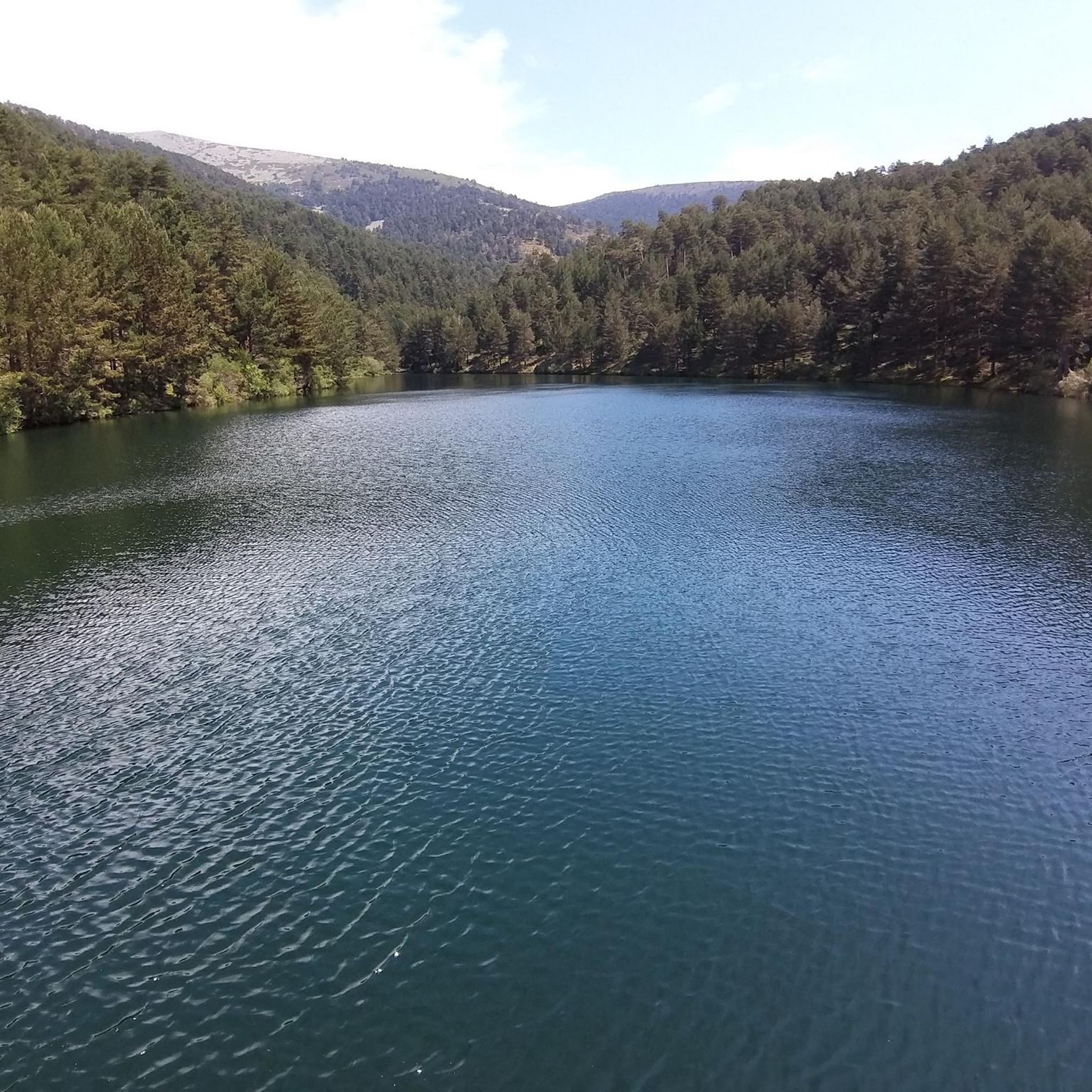
Yes, there are several moderate touring cycling routes. For example, the Arroyo del Helecharón – Las Dehesas Recreation Area loop from Embalse Arroyo de la Venta o de Las Berceas is a 6.5-mile (10.4 km) route that takes about an hour to complete, leading through river valleys and recreation areas. The Eresma Valley Greenway, mentioned in regional research, is also a moderate option, covering 49.3 km through diverse landscapes.
What kind of landscapes can I expect to see on touring cycling routes in Ortigosa Del Monte?
Touring cyclists can expect diverse landscapes. Routes often pass through unique granite formations in areas like El Berrocal, well-preserved mixed forests of ash, oak, holm oak, and cork oak, and riverine vegetation along waterways such as the Milanillos River. You'll also find views of the Sierra de la Mujer Muerta and sections of the broader Sierra de Guadarrama.
Are there circular touring cycling routes available?
Yes, many routes are designed as loops, offering a convenient way to explore the area. An example is the La Garganta del río Moros — circular de La Estación de El Espinar, a challenging 29.0-mile (46.7 km) route, or the Milanillos Viewpoint – Puerto de Pasapán loop from Los Ángeles de San Rafael, which offers panoramic views.
What do other touring cyclists say about the routes in Ortigosa Del Monte?
The touring cycling routes in Ortigosa Del Monte are highly rated by the komoot community, with an average score of 4.7 stars from more than 10 reviews. Over 800 touring cyclists have used komoot to explore the varied terrain, often praising the diverse natural landscapes and challenging climbs.
Are there any touring cycling routes that offer scenic viewpoints?
Absolutely. Many routes provide stunning vistas. The Milanillos Viewpoint – Puerto de Pasapán loop from Los Ángeles de San Rafael is specifically known for its panoramic views. Additionally, routes often offer glimpses of the Sierra de la Mujer Muerta and the unique granite formations of El Berrocal.
What historical attractions or landmarks can I see along the touring cycling routes?
The area is rich in history. You can encounter the well-preserved Roman Road of Puerto de la Fuenfría, an ancient engineering marvel. Other historical points of interest include the Carretera de la República, the Camino Schmid, and the 18th-century Bourbon road, all converging in the area of Los Corralitos, known for its ancient pine trees.
Are there any natural monuments or unique geological features to explore?
Yes, the region is known for its distinctive natural features. You can explore "El Berrocal," a unique granite landscape with striking large blocks and capricious formations. Highlights like Fuente de la Reina and Fuenfría Spring are also accessible, offering beautiful natural settings.
Are there any routes that pass through forests or offer shade?
Many routes in Ortigosa Del Monte traverse well-preserved mixed forests. You'll find sections with ash, oak, holm oak, and cork oak trees, providing shade and a pleasant environment, especially along routes like the "Ruta Ortigosa del Monte a La Losa por el Camino de la Mora" which passes through holm oak, ash, and cork oak forests.
What is the longest touring cycling route in the area?
One of the longer and more challenging routes is La Garganta del río Moros — circular de La Estación de El Espinar, which spans 29.0 miles (46.7 km) and features significant elevation gain, typically taking over 4 hours to complete.
Can I find routes that follow rivers or offer waterside views?
Yes, the region features riverine vegetation along waterways such as the Milanillos River. Routes like the Arroyo del Helecharón – Las Dehesas Recreation Area loop lead through river valleys, offering pleasant waterside sections.
Most popular routes around Ortigosa Del Monte
Most popular attractions around Ortigosa Del Monte

Get inspired with the komoot mobile app


Explore more
Browse the best Cycling routes in other regions.
