The best walks and hikes around San Miguel De Aguayo
4.4
(61)
299
hikers
32
hikes
Hiking around San Miguel De Aguayo offers diverse landscapes, characterized by historical routes, forested areas, and varied elevation changes. The region features ancient paths like the Roman Road and the Camino Real, alongside natural features such as the Hayedo de Montabliz beech forest. Hikers can explore rural villages and ascend hills that provide panoramic views of the surrounding terrain.
Best hiking trails around San Miguel De Aguayo
- The most popular hiking route is Roman Road and Camino Real Loop, a 10.0 miles (16.0 km) trail that takes 4 hours 47 minutes to complete. This moderate route follows historical paths through varied terrain.
- Another top favourite among local hikers is Pico Jano loop from Bárcena, a difficult 11.6 miles (18.7 km) path. This trail involves a challenging ascent, offering extensive views from higher elevations.
- Local hikers also love the Hayedo de Montabliz – Mediaconcha Abandoned Village loop from Pesquera, a 6.7 miles (10.8 km) trail leading through forested areas and past a historical village, often completed in about 3 hours 17 minutes.
- Hiking around San Miguel De Aguayo is defined by historical routes, dense woodlands, and varied elevation. The network offers options for different ability levels, from moderate walks to more challenging ascents.
- The routes in San Miguel De Aguayo are highly rated by the komoot community with an average score of 4.5 stars from over 40 reviews. More than 200 hikers have used komoot to explore San Miguel De Aguayo's varied terrain.
Last updated: October 7, 2026
5.0
(6)
26
hikers
16.0km
04:47
500m
500m
Moderate hike. Good fitness required. Easily-accessible paths. Suitable for all skill levels.
4.5
(8)
35
hikers
19.4km
06:34
980m
980m
Hard hike. Very good fitness required. Easily-accessible paths. Suitable for all skill levels.

4.6
(5)
23
hikers
10.8km
03:17
360m
370m
Moderate hike. Good fitness required. Easily-accessible paths. Suitable for all skill levels.
4.3
(4)
23
hikers
9.10km
02:21
50m
50m
Moderate hike. Good fitness required. Easily-accessible paths. Suitable for all skill levels.
4.7
(6)
40
hikers
Moderate hike. Good fitness required. Easily-accessible paths. Suitable for all skill levels.
Get access to more routes and recommendations from other explorers.
Already have an account?
Our route recommendations are based on thousands of hikes, rides, and runs completed by other people on komoot.
Start today with a free account
Your next adventure awaits.
Tips from the Community

The Roman road known as Calzada de los Blendios connected Pisoraca (Herrera de Pisuerga, in Palencia) and Portus Blendium (Suances, in Cantabria). It was the main means of communication between the Castilian plateau and the Cantabrian coast. It runs through a mountain area and is covered by oak, chestnut and beech groves.
0
0

If you are going to visit the area, the ornithological center is the first obligatory stop. It can guide you about the most interesting things around the reservoir. They tell you about the birds that populate the Ebro Reservoir and where you can observe them (more than 70 species of waterfowl). They offer you two different routes. Each itinerary will be interpreted by the Center's specialized guide service.
1
0

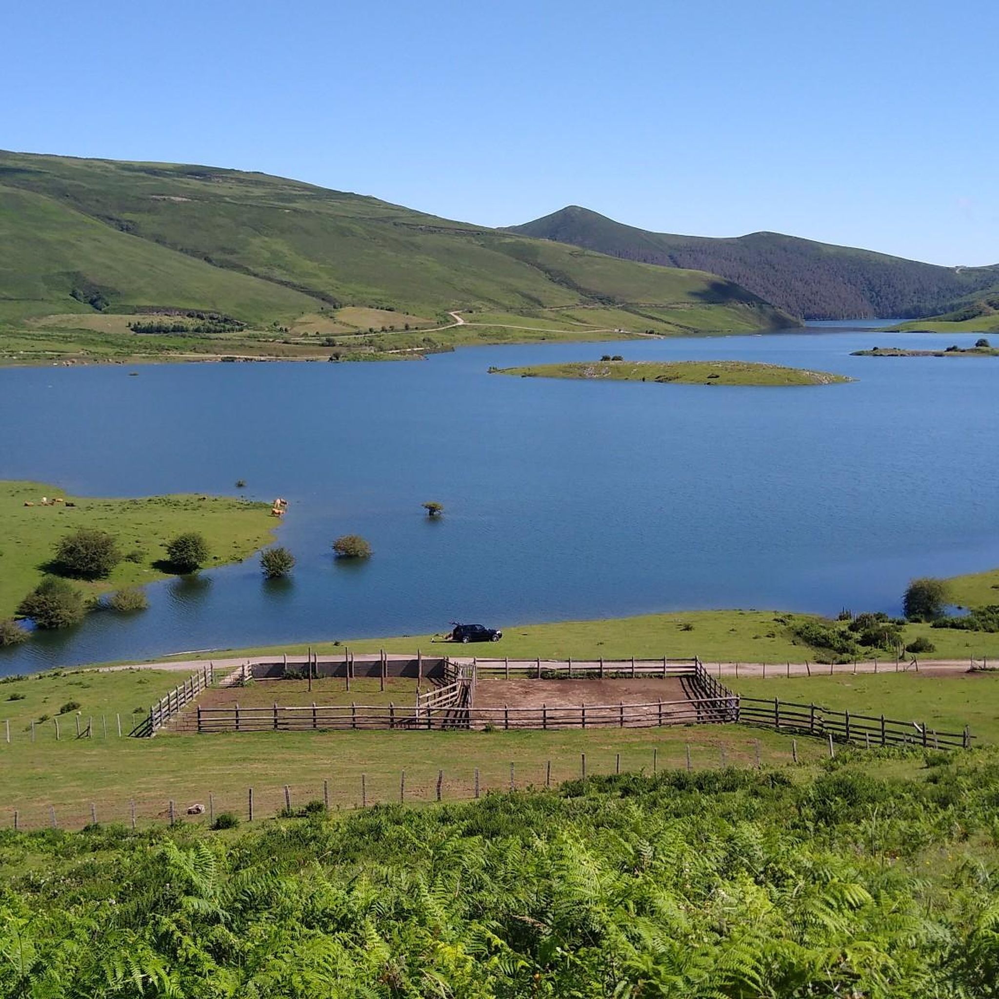
The geodesic vertex of Pico Jano is located at 1,343 meters above sea level and although reaching it can be a real challenge, the views you will have will be your great reward. With good visibility you can have some beautiful postcards of the Cantabrian interior and the Mediajo reservoir that is located at the foot of the peak.
2
0

Located in the middle of the Roman road, hence its name Half-shell or half of the road, it is a town that is said to be abandoned given its current difficult situation and the fact that the life of the people seems to have proliferated in somewhat more suitable areas and easy to get to, such as Pie de Concha or Pesquera. The first time I visited it, it seemed completely like a ghost town to me, it was winter and although one of the houses did seem suspiciously better cared for and with some firewood, it could be used occasionally as shelter. The second time I've been there was at the beginning of autumn with very good weather and that house is in use: maybe only in some more propitious times of the year but I have to admit that there is at least one neighbor. The rest of the beautiful town has seen better days, the houses are in various states of ruin (including the beautiful church of San Gregorio, in a state of absolute ruin).
0
0

Beautiful construction in this small town of Bárcena de Pie de Concha. It is a Catholic temple dating from the twelfth century.
0
0
It is a pleasure to walk along this Camino Real, back to Bárcena de Pie de Concha.
0
0
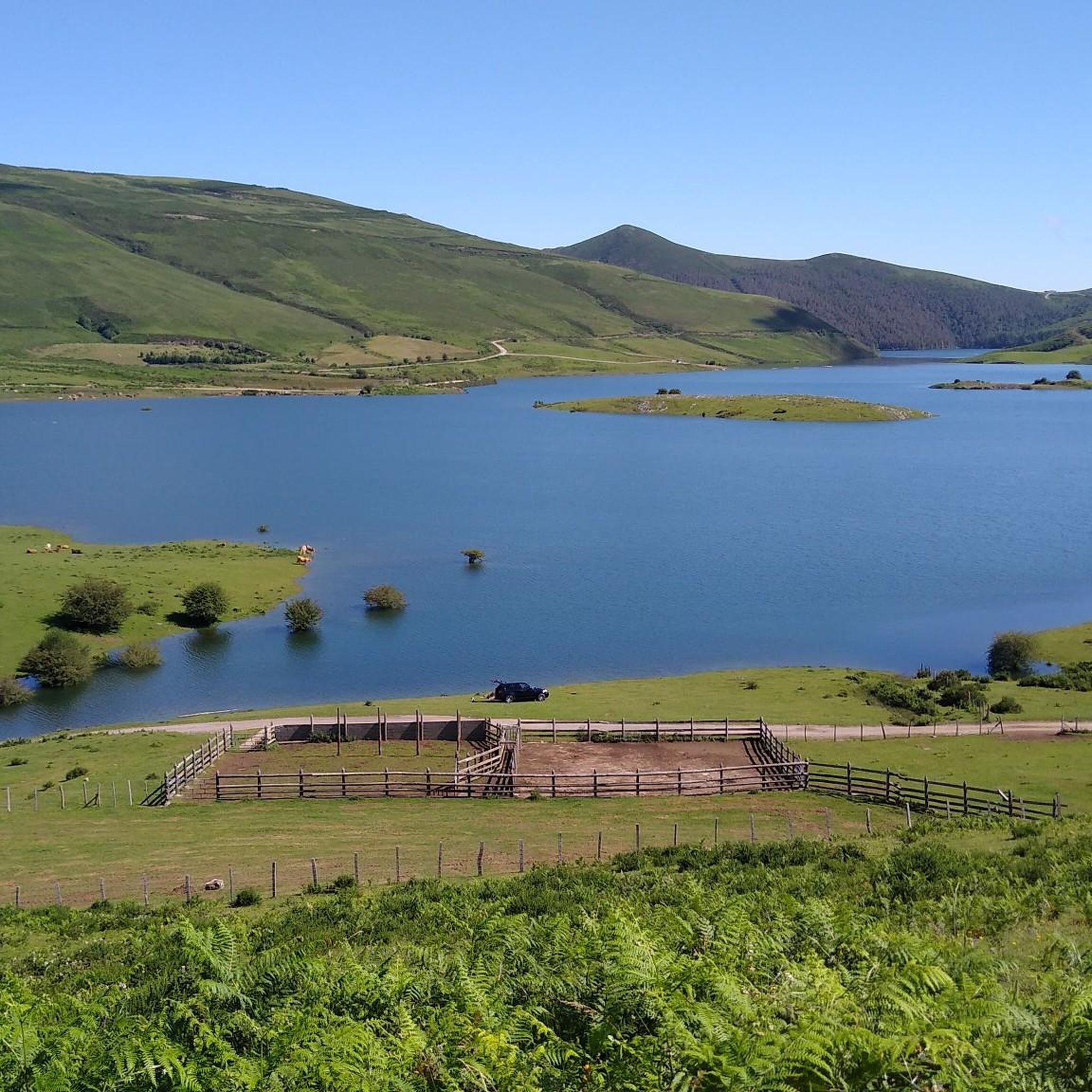
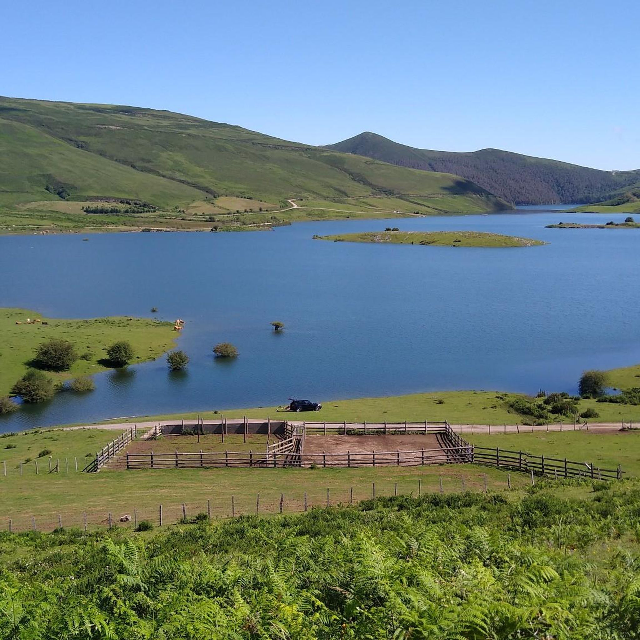
On the sign of this "corral" there is a nice story that explains it.
1
0
Very nice building and surroundings.
0
0
Frequently Asked Questions
How many hiking trails are available around San Miguel De Aguayo?
There are over 20 hiking routes documented around San Miguel De Aguayo on komoot, offering a variety of experiences from easy strolls to more challenging ascents. The region is known for its historical paths and diverse landscapes.
Are there any easy or beginner-friendly hikes in San Miguel De Aguayo?
Yes, San Miguel De Aguayo offers several easy hikes suitable for beginners. For example, the Church in Spain loop from La Población is a moderate route with minimal elevation gain, making it a good option for those looking for a less strenuous walk.
What are the typical durations for hikes in this area?
Hikes around San Miguel De Aguayo vary in length and duration. Shorter, moderate routes like the Hayedo de Montabliz – Mediaconcha Abandoned Village loop from Pesquera can take around 3 hours 17 minutes, while longer, more challenging trails such as the Pico Jano loop from Bárcena can extend to over 6 hours.
Are there any circular walks available in San Miguel De Aguayo?
Many of the trails in San Miguel De Aguayo are designed as circular routes, allowing you to start and end in the same location. A notable example is the Roman Road and Camino Real Loop, which takes you through historical paths and varied terrain.
What kind of natural attractions or landmarks can I see while hiking?
The region boasts several interesting natural and historical landmarks. You can explore the Beautiful section through the beech forest, visit the Mediaconcha Abandoned Village, or discover the ancient Ruins of Julióbriga. These highlights offer a glimpse into the area's natural beauty and rich history.
Is San Miguel De Aguayo suitable for family-friendly hikes?
Yes, the area offers routes that can be enjoyed by families, especially those looking for easier, shorter walks. While specific 'family-friendly' designations aren't always explicit, many of the moderate trails with less elevation gain are suitable for children and adults alike. Consider routes that pass through villages or offer interesting points of interest to keep younger hikers engaged.
What is the best time of year to go hiking in San Miguel De Aguayo?
The best time for hiking in San Miguel De Aguayo is generally during the spring (April to June) and autumn (September to October). During these seasons, the weather is typically mild, and the landscapes are vibrant with spring blooms or autumn colors. Summer can also be pleasant, especially in the mornings or late afternoons, though some trails might be warmer.
Are there any dog-friendly hiking trails in the San Miguel De Aguayo area?
Many trails in the San Miguel De Aguayo region are generally dog-friendly, especially those in natural, rural settings. However, it's always recommended to keep dogs on a leash, especially near livestock or in protected areas, and to check local signage for any specific restrictions. Always carry water for your pet and clean up after them.
What do other hikers say about the trails in San Miguel De Aguayo?
The trails in San Miguel De Aguayo are highly regarded by the komoot community, with an average rating of 4.5 stars from over 40 reviews. Hikers often praise the diverse landscapes, the historical significance of routes like the Roman Road, and the opportunity to explore dense woodlands and charming villages.
Are there any challenging hikes for experienced hikers?
Yes, for experienced hikers seeking a challenge, the Pico Jano loop from Bárcena is a difficult 11.6-mile (18.7 km) path. This trail involves a significant ascent, rewarding hikers with extensive views from higher elevations and a demanding physical experience.
Where can I find parking for hiking trailheads in San Miguel De Aguayo?
Parking is typically available in or near the villages that serve as starting points for many trails. For instance, routes often begin from places like Bárcena, Pesquera, La Población, or Pujayo, where you can usually find designated parking areas or roadside spots. It's advisable to check the specific trailhead information on komoot for detailed parking suggestions.
Can I find hikes that pass through villages or offer amenities like pubs?
Many routes in San Miguel De Aguayo connect or pass through small, traditional villages. While specific 'hikes with pubs' are not explicitly categorized, trails like the Church of San Martín loop from Pujayo often start or end in villages where you might find local eateries or small shops for refreshments.
Most popular routes around San Miguel De Aguayo
Most popular attractions around San Miguel De Aguayo

Get inspired with the komoot mobile app


Explore more
Browse the best Hikes in other regions.
