The best walks and hikes around Jaramillo Quemado
4.2
(8)
63
hikers
19
hikes
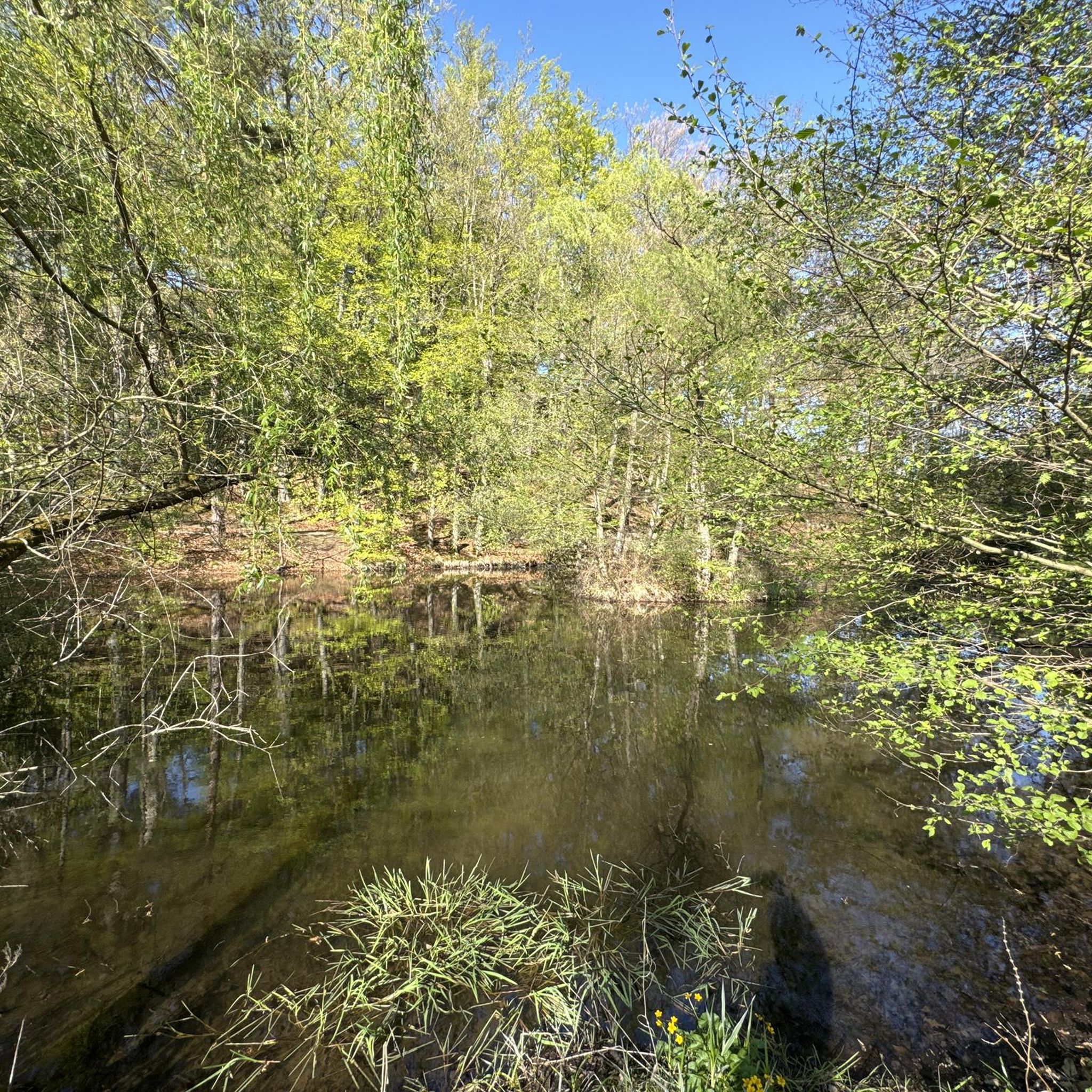
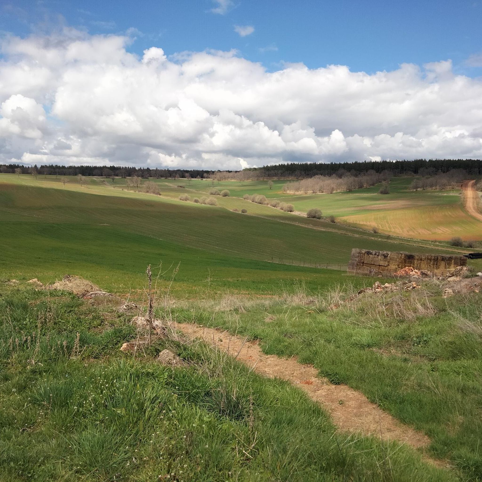
Hiking around Jaramillo Quemado offers diverse natural landscapes in Spain's Burgos province. The region features extensive deciduous forests, primarily oak, and paths alongside natural waterways like the Arroyo del Salcedal. It is situated between the Sierra de Mencilla to the north and the mountains accompanying the Arlanza river to the south, integrating varied mountain and riverine ecosystems. The terrain includes oak groves, scrubland, and proximity to the Sierra de la Demanda, which provides beech and pine forests along the Arlanzón river.
Best hiking trails around Jaramillo Quemado
- The most popular hiking route is Quintanilla de las Viñas, Peñalara, and Cubillejo Dolmen Loop, an 11.0 miles (17.7 km) trail that takes 4 hours 55 minutes to complete. This moderate route encompasses the Peñalara area and the Dolmen de Cubillejo de Lara.
- Another top favourite among local hikers is Hortigüela, Enraizados Forest and San Cristóbal Loop, a moderate 7.4 miles (11.9 km) path. This trail leads through the "Bosque de Enraizados" (Rooted Forest) around Cerro San Cristóbal.
- Local hikers also love the Hacinas and Sierra de Carazo Loop, a 12.8 miles (20.6 km) trail leading through the Sierra de Carazo, often completed in about 5 hours 57 minutes.
- Hiking around Jaramillo Quemado is defined by deciduous forests, oak groves, and riverine ecosystems, with routes ranging from easy to difficult. The network offers options for different ability levels across its 11 trails.
- The routes in Jaramillo Quemado are highly rated by the komoot community with an average score of 4.2 stars from 8 reviews. More than 40 hikers have used komoot to explore Jaramillo Quemado's varied terrain.
Last updated: October 1, 2026
3.0
(1)
8
hikers
17.7km
04:55
330m
330m
Moderate hike. Good fitness required. Mostly accessible paths. Sure-footedness required.
1
hikers
11.9km
03:37
400m
400m
Moderate hike. Good fitness required. Mostly accessible paths. Sure-footedness required.

20.6km
05:58
480m
480m
Hard hike. Very good fitness required. Mostly accessible paths. Sure-footedness required.
16.5km
04:29
240m
230m
Moderate hike. Good fitness required. Mostly accessible paths. Sure-footedness required.
3.0
(1)
6
hikers
Moderate hike. Good fitness required. Mostly accessible paths. Sure-footedness required.
Get access to more routes and recommendations from other explorers.
Already have an account?
Our route recommendations are based on thousands of hikes, rides, and runs completed by other people on komoot.
Start today with a free account
Your next adventure awaits.


Tips from the Community

This humble rural church stands out for housing an authentic artistic gem inside: an exceptional Romanesque baptismal font from the 12th century.
0
0
The summit of Peñalara in Burgos (also known as Peña Lara or Sierra de Lara) rises to 1,296 meters in altitude in the heart of the Sierra de la Demanda region, overlooking the historic valley of Tierra de Lara.
0
0
Peñalara is a rocky mountain range and an impressive natural viewpoint of 1,296 meters in altitude, located in the Sierra de Lara (Lara region / Sierra de la Demanda). The hike is worth it to enjoy the views from its summit.
0
0
The Cubillejo/Mazariegos dolmen is considered the prototype of the megalithic passage tomb and preserves, on one of the large stone blocks that form its structure, a series of interesting rock carvings.
0
0

a highly recommended area for hiking.
0
0
Impressive 7th century hermitage, if you pass near Quintanilla de las Viñas or the Lara area, don't miss it.
0
0
Ruins of Lara Castle. Easy climb with a couple of more technical sections. You have to cross an electric fence to access the castle, remember to close it before continuing. Stunning views of the Lara region from the castle.
0
0
Frequently Asked Questions
How many hiking trails are available in Jaramillo Quemado, and what are their difficulty levels?
There are 11 hiking trails in Jaramillo Quemado. Most are moderate (8 routes), with 2 easy options for a relaxed stroll and 1 challenging route for experienced hikers.
Are there any circular hiking routes in the Jaramillo Quemado area?
Yes, many routes in the region are circular, allowing you to start and end at the same point. For example, the Quintanilla de las Viñas, Peñalara, and Cubillejo Dolmen Loop is a popular moderate circular trail covering 17.7 km.
What kind of natural landscapes can I expect to see while hiking in Jaramillo Quemado?
Jaramillo Quemado is characterized by extensive deciduous forests, primarily oak, and paths alongside natural waterways like the Arroyo del Salcedal. You'll also find oak groves, scrubland, and areas bordering the Sierra de la Demanda with beech and pine forests along the Arlanzón river. The region offers a blend of mountain and riverine ecosystems.
Are there any family-friendly hiking options in Jaramillo Quemado?
While specific family-friendly routes are not highlighted, the region offers 2 easy trails that could be suitable for families. The varied terrain and natural features like the Arroyo del Salcedal provide engaging environments for children.
What unique natural features or landmarks can I explore on a hike?
You can explore the unique "Bosque de Enraizados" (Rooted Forest) around Cerro San Cristóbal, which has a dedicated hiking route. For a more challenging ascent, Pico Mencilla offers rocky sections and panoramic views. The area also features the impressive "El Roble de la Verruga" (The Wart Oak).
What historical or cultural attractions can I visit near the hiking trails?
Beyond the natural beauty, you can visit the Romanesque Church of San Martín Obispo in Jaramillo Quemado, or the medieval "rollo" (pillory) in the village. A unique historical site is the Sad Hill Cemetery, famous as a filming location for "The Good, the Bad and the Ugly." The ruins of the ancient Monastery of San Pedro de Arlanza are also nearby.
Are there any long-distance or challenging hikes for experienced trekkers?
Yes, for experienced trekkers, the Hacinas and Sierra de Carazo Loop is a challenging 20.6 km trail that typically takes nearly 6 hours to complete, leading through the Sierra de Carazo.
What do other hikers say about the trails in Jaramillo Quemado?
The routes in Jaramillo Quemado are highly rated by the komoot community, with an average score of 4.2 stars from 8 reviews. Hikers often praise the varied terrain and the serene experience of walking through the deciduous forests and alongside natural waterways.
Is there a specific trail that showcases the 'Bosque de Enraizados'?
Yes, the Hortigüela, Enraizados Forest and San Cristóbal Loop is an 11.9 km moderate path specifically designed to lead you through the unique "Bosque de Enraizados" (Rooted Forest) around Cerro San Cristóbal.
How accessible is Jaramillo Quemado for hikers coming from Burgos?
Jaramillo Quemado is easily accessible from Burgos via the Burgos-Soria road, making it convenient for day trips or longer stays for hikers looking to explore the region's trails.
Are there any trails that offer views of historical sites like castles?
Yes, you can find routes that incorporate historical elements. For instance, the Climb to Castillo Infantes de Lara — circular from Aceña de Lara is a moderate 16.5 km route that includes a climb to the castle.
Most popular attractions around Jaramillo Quemado

Get inspired with the komoot mobile app


Explore more
Browse the best Hikes in other regions.
