The best running trails around Jaramillo De La Fuente
183
runners
24
runs
Jogging routes around Jaramillo De La Fuente are set within the Sierra de la Demanda, a mountainous region in Burgos, Spain. The area features varied terrain, from riverside paths along the Salcedal river to more challenging routes through the mountains. This natural environment provides diverse options for runners seeking different levels of challenge.
Best jogging routes around Jaramillo De La Fuente
- The most popular jogging route is Castillo de Castrovido — circular from Salas de los Infantes, a 7.2…
Last updated: October 1, 2026
3
runners
11.7km
01:26
190m
190m
Hard run. Good fitness required. Sure-footedness, sturdy shoes and alpine experience required.
16.1km
02:06
540m
540m
Hard run. Very good fitness required. Mostly accessible paths. Some sure footedness required.

38
runners
10.1km
01:50
730m
730m
Hard run. Very good fitness required. Mostly paved surfaces. Suitable for all skill levels.
26
runners
35.1km
05:27
1,720m
1,720m
Hard run. Very good fitness required. Sure-footedness, sturdy shoes and alpine experience required.
21
runners
19.3km
02:25
400m
400m
Hard run. Very good fitness required. Sure-footedness, sturdy shoes and alpine experience required.
Get access to more routes and recommendations from other explorers.
Already have an account?
Our route recommendations are based on thousands of hikes, rides, and runs completed by other people on komoot.
Start today with a free account
Your next adventure awaits.
Tips from the Community

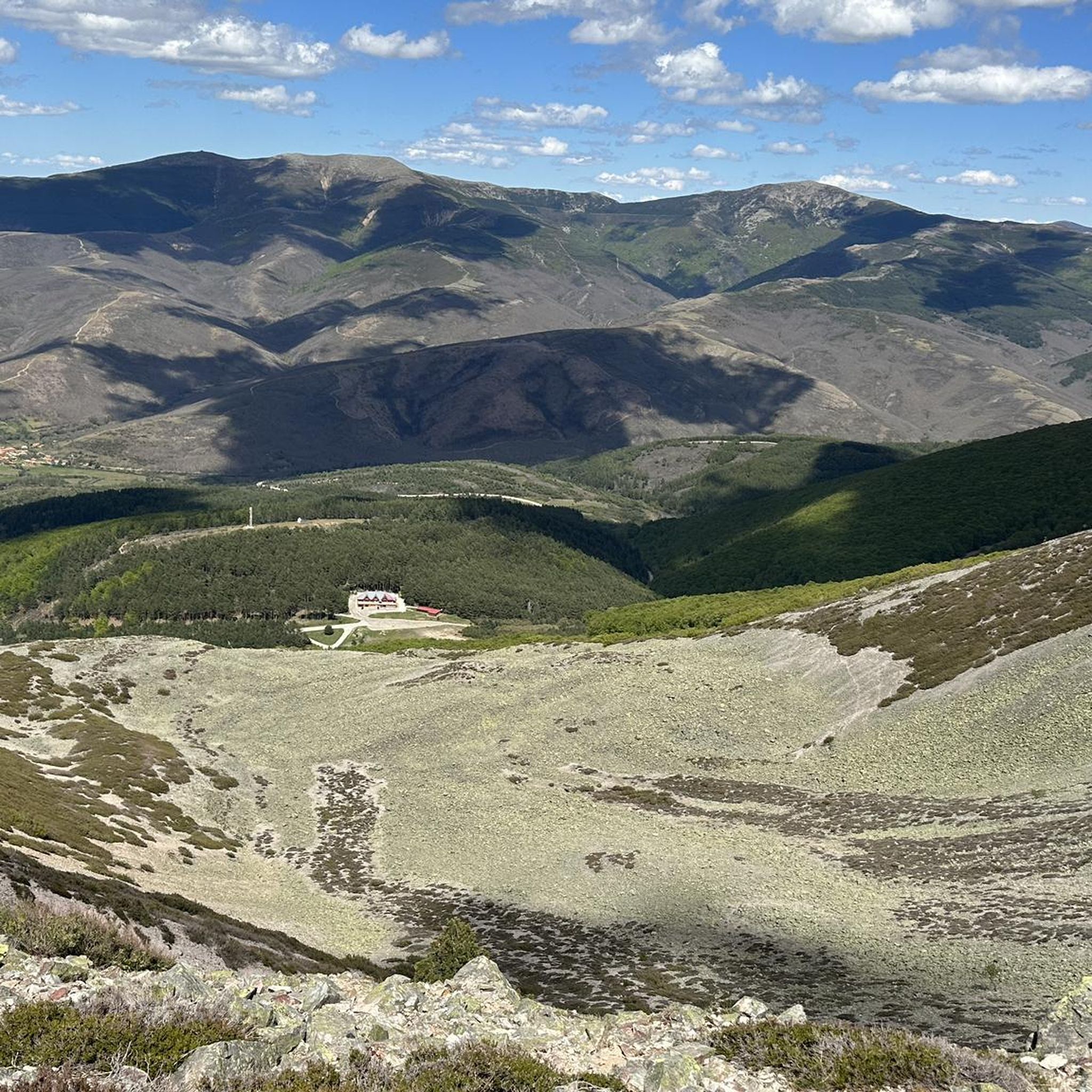
El Mencilla is the highest summit of the Mencilla mountain range, which in turn is part of the Sierra de la Demanda within the Iberian system. With an altitude of 1932 meters above sea level and a prominence of 532 meters, it gives its name to the homonymous mountain range. It is located in the Sierra de la Demanda natural space and the municipal terms of Pineda de la Sierra and Tinieblas de la Sierra converge here, part of the Sierra de la Demanda region, in the province of Burgos.
0
0
El Puerto del Manquillo is located between the towns of Pineda de la Sierra and Riocavado de la Sierra. The pass is an excellent starting point for excursions and visiting the main peaks of the sierra. The route of the Vía Verde de la Sierra Demanda also passes through the port.
0
0

beautiful climb via the greenway or the road
1
0

Spectacular area for hiking routes
0
0
a highly recommended area for hiking.
0
1

There is always the solution to difficult points: doing them by road.
0
0

There are many routes, both easy and difficult, to choose from. The Sierra is very beautiful, especially in autumn.
0
0

The railway crossed this port through a tunnel. When making the greenway, the original route was not recovered, so the arrival and departure of the port are two very steep slopes. Most panniers make them by pushing the bike.
2
0
Frequently Asked Questions
How many running routes are available around Jaramillo De La Fuente?
There are over 15 dedicated jogging routes around Jaramillo De La Fuente listed on komoot, offering a variety of experiences for runners. The region's diverse terrain, from riverside paths to mountain ascents, ensures options for different fitness levels.
What kind of terrain can I expect on the running trails in Jaramillo De La Fuente?
The running trails in Jaramillo De La Fuente are primarily characterized by mountainous terrain, as the village is nestled in the Sierra de la Demanda. You'll also find pleasant riverside paths along the Salcedal river, offering flatter sections. The area is known for its natural beauty and diverse flora and fauna, providing varied and scenic routes.
Are there running routes suitable for beginners in Jaramillo De La Fuente?
While many routes in the area are considered challenging, there are options that can be enjoyed by those looking for a moderate run. The region's varied terrain includes riverside paths that are generally less strenuous than the mountain ascents. It's always recommended to check the route details for elevation and distance to find one that matches your fitness level.
What is the best time of year to go jogging in Jaramillo De La Fuente?
Given its location in the Sierra de la Demanda, spring and autumn generally offer the most pleasant conditions for jogging in Jaramillo De La Fuente, with mild temperatures and vibrant natural scenery. Summer can be warm, especially at midday, while winter might bring colder temperatures and potentially snow at higher elevations, making some trails more challenging.
Are there any circular running routes in the area?
Yes, many of the running routes around Jaramillo De La Fuente are circular, allowing you to start and finish in the same location. An example is the Castillo de Castrovido — circular from Salas de los Infantes, which is a popular 7.2-mile (11.7 km) trail offering scenic views.
Can I bring my dog on the running trails around Jaramillo De La Fuente?
Generally, the natural trails and rural paths around Jaramillo De La Fuente are suitable for dogs, but it's always advisable to keep them on a leash, especially in areas with wildlife or near livestock. Always respect local regulations and ensure your dog is well-behaved and doesn't disturb other users or the environment.
Are there any challenging running trails for experienced runners?
Absolutely. Jaramillo De La Fuente, being in a mountainous region, offers several challenging routes. For instance, the Ascent to Alto de Gayubar — circular from Vallejimeno is a difficult 10.0-mile (16.1 km) path with significant elevation gain, providing panoramic views from the summit. Another demanding option is the San Millán loop from Valle del Sol, a 21.6-mile (34.8 km) trail through mountainous terrain.
What historical or natural landmarks can I see while running in Jaramillo De La Fuente?
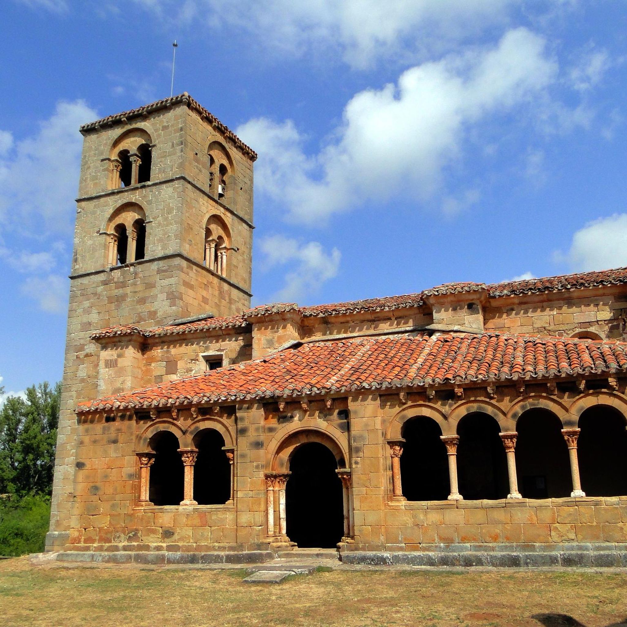
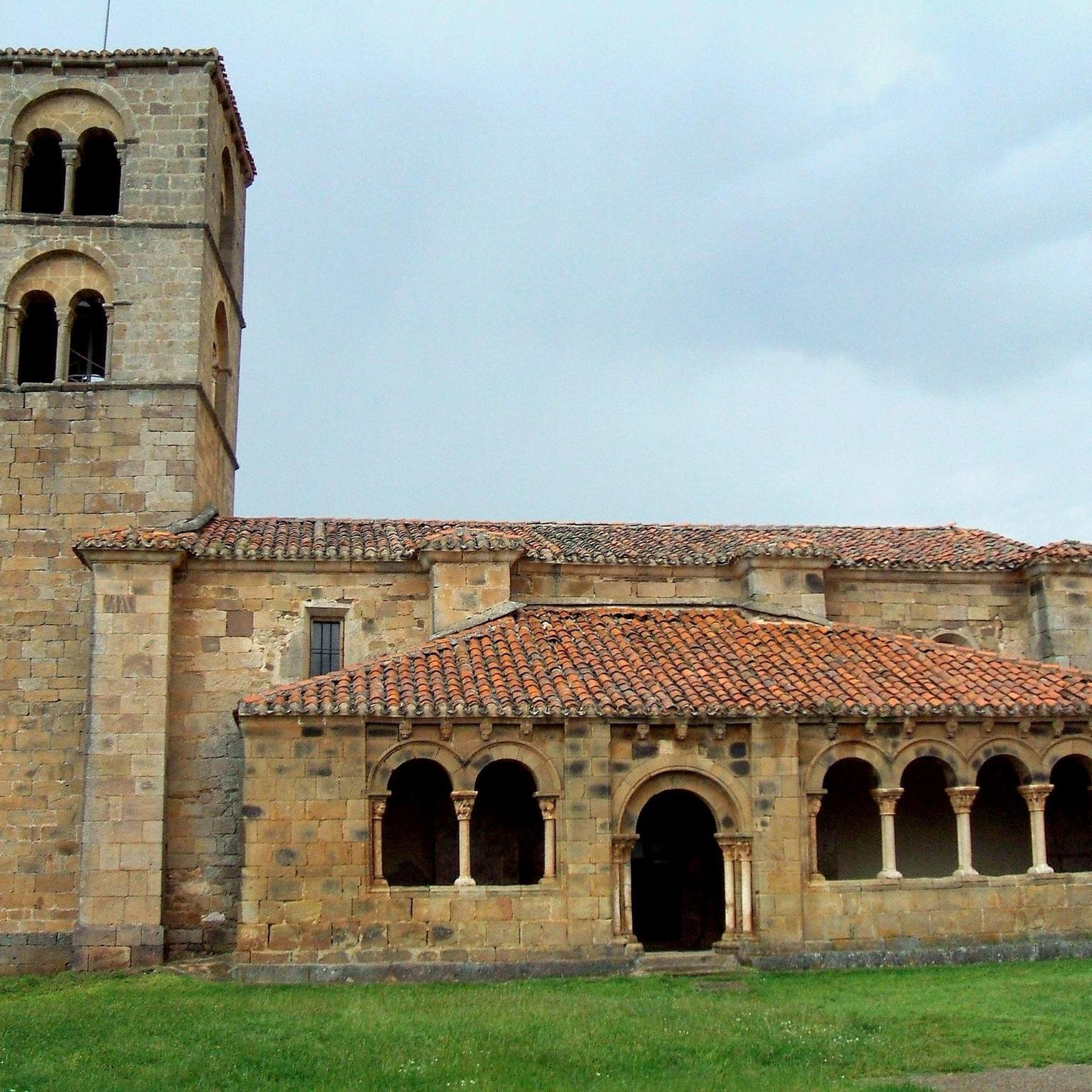
The region offers several points of interest. You might encounter the well-preserved 12th-century Romanesque church of Nuestra Señora de la Asunción in the village, or the stylized 16th-century Renaissance "rollo de justicia." Natural landmarks include various summits like Pico Mencilla or Cerro San Cristóbal, and the scenic footbridge over the Valdorcas river. The area is rich in both cultural heritage and natural beauty.
Is there parking available near the running trailheads in Jaramillo De La Fuente?
While specific parking information for each trailhead isn't always detailed, Jaramillo De La Fuente is a small village, and parking is generally available within or on the outskirts of the village, often near public spaces or the start of popular routes. For routes starting from nearby towns like Salas de los Infantes or Vallejimeno, you would typically find parking options within those settlements.
What do other runners enjoy the most about jogging in Jaramillo De La Fuente?
Runners often praise the varied and scenic landscapes of Jaramillo De La Fuente. The combination of mountainous terrain, tranquil riverside paths, and diverse flora and fauna provides a rich outdoor experience. The komoot community has explored these trails over 170 times, highlighting the region's appeal for those seeking both challenging runs and peaceful jogs amidst nature.
Are there any family-friendly running options in Jaramillo De La Fuente?
For families, the flatter, more accessible paths along the Salcedal river could be a good option for a relaxed run or walk. While many routes involve significant elevation, selecting shorter, less strenuous sections or trails with minimal ascent would be suitable. Always check the route's distance and elevation profile to ensure it's appropriate for all family members.
Can I access the running routes around Jaramillo De La Fuente using public transport?
Jaramillo De La Fuente is a small village in a rural area, so public transport options might be limited. It's generally recommended to access the region by car for the most flexibility in reaching various trailheads. However, local bus services might connect to larger towns in the Burgos province, from which you might need to arrange further transport to the village.
Are there any long-distance running trails in the Jaramillo De La Fuente area?
Yes, for those seeking longer distances, the region offers several extensive routes. The Pineda de la Sierra – San Millán (2,131 m) loop from Pineda de la Sierra is a challenging 18.5-mile (29.8 km) trail, and the Salas de los Infantes loop from Salas de los Infantes covers 12.9 miles (20.7 km), providing ample opportunity for endurance running.
Most popular routes around Jaramillo De La Fuente
Most popular attractions around Jaramillo De La Fuente

Get inspired with the komoot mobile app


Explore more
Browse the best Running Trails & Routes in other regions.
