The best road cycling routes around Alhaurín De La Torre
4.4
(662)
29,639
riders
14
rides
Road cycling around Alhaurín De La Torre offers diverse terrain, situated between the eastern slopes of the Sierra de Mijas mountain range and the fertile Guadalhorce Valley. The region features varied landscapes, from pine forests to lush vegetable gardens, with notable areas like Sierra Jabalcuza and Sierra Jarapalos. Cyclists encounter well-maintained roads and challenging climbs, providing a range of experiences from gentle rides to rigorous ascents. This geographical mix makes it a compelling destination for road cyclists seeking varied elevation…
Last updated: August 9, 2026
4.3
(4)
128
riders
27.6km
01:14
280m
280m
Easy road ride. Great for any fitness level. Mostly well-paved surfaces and easy to ride.
4.3
(12)
464
riders
Moderate road ride. Good fitness required. Mostly well-paved surfaces and easy to ride.

Sign up for free
4.3
(4)
103
riders
25.5km
01:11
260m
260m
Easy road ride. Great for any fitness level. Mostly well-paved surfaces and easy to ride.
32
riders
28.2km
01:19
230m
230m
Easy road ride. Great for any fitness level. Mostly well-paved surfaces and easy to ride.
28
riders
21.3km
01:00
240m
240m
Easy road ride. Great for any fitness level. Mostly well-paved surfaces and easy to ride.
Get access to more routes and recommendations from other explorers.
Sign up for free
Already have an account?
Our route recommendations are based on thousands of hikes, rides, and runs completed by other people on komoot.
Start today with a free account
Your next adventure awaits.
Login or Signup

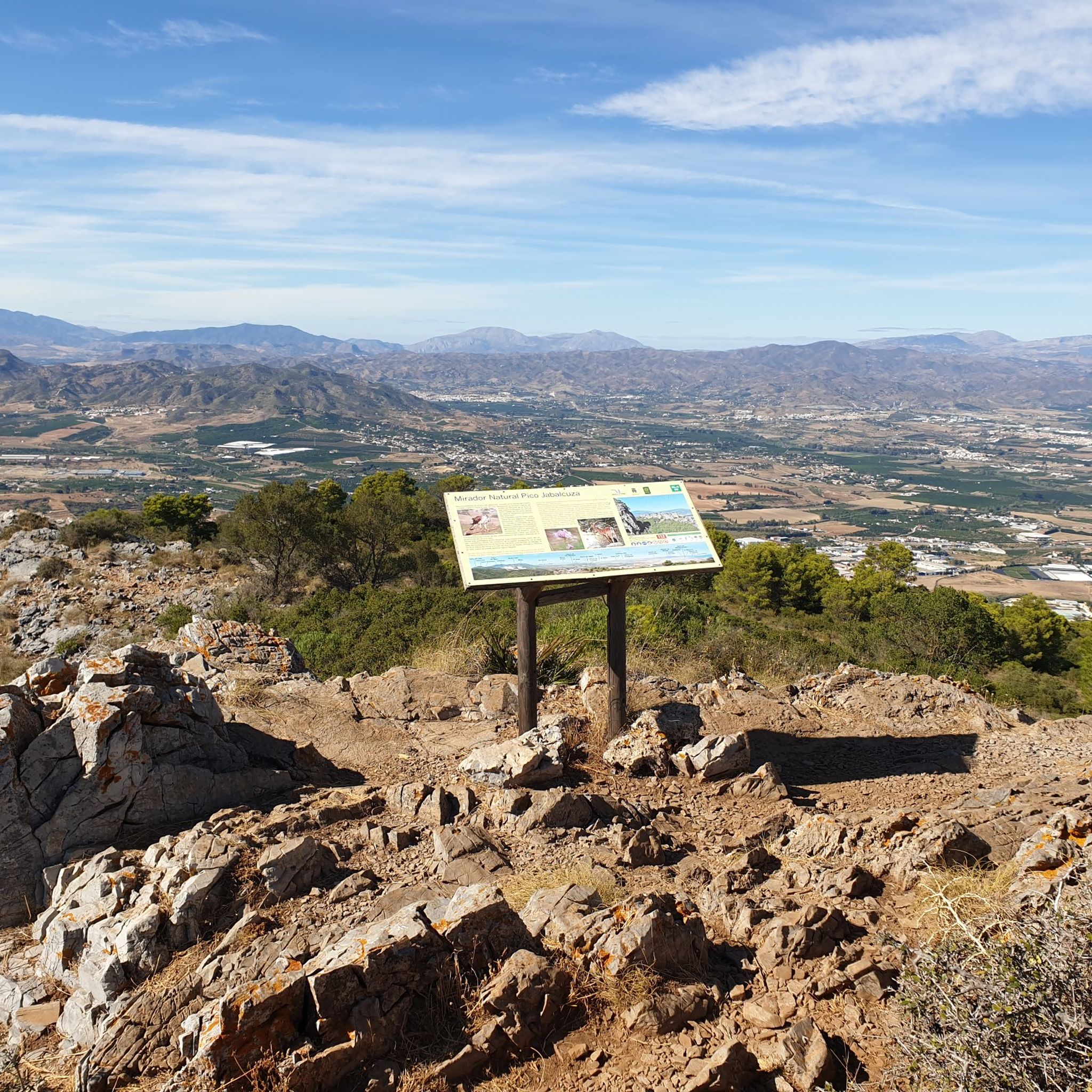
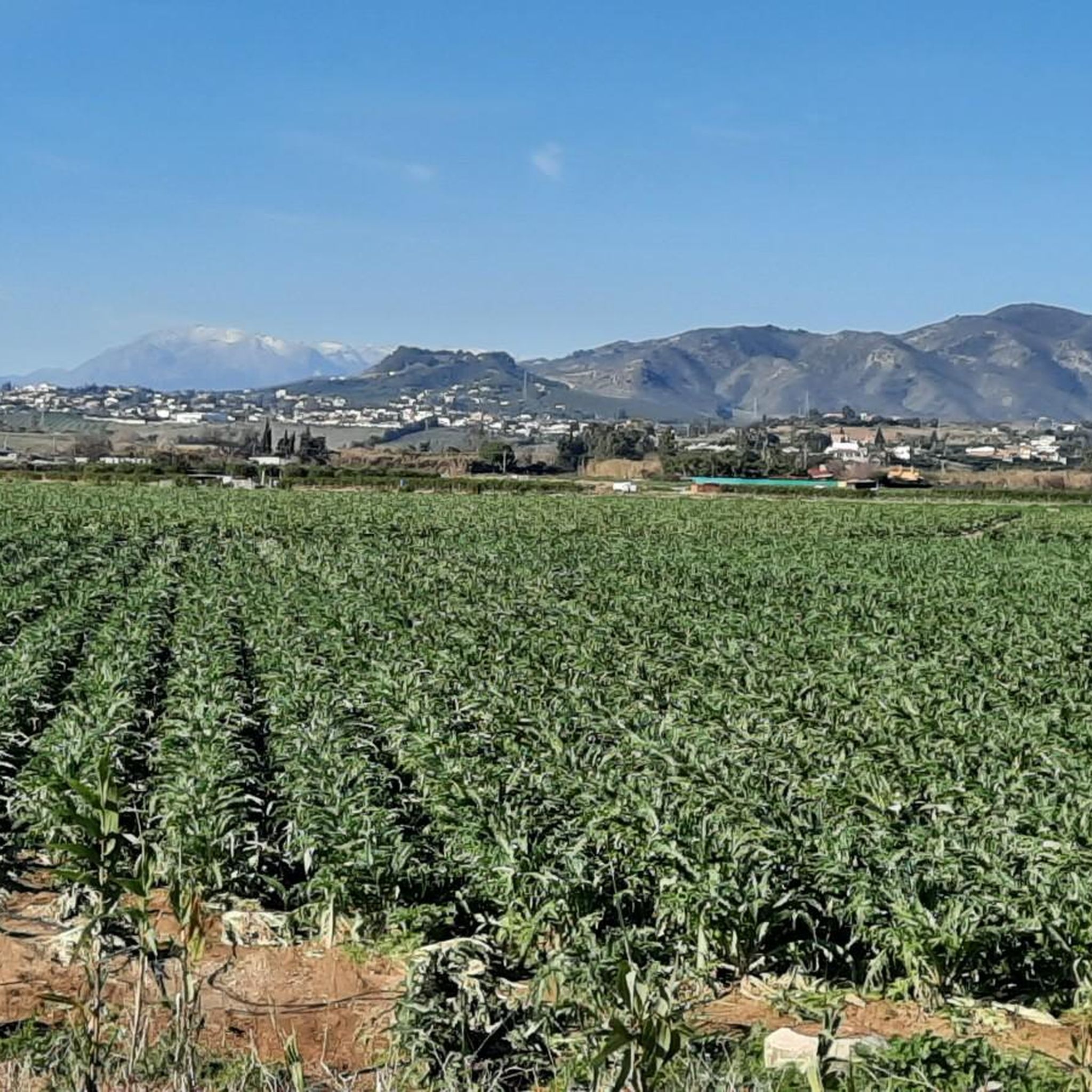
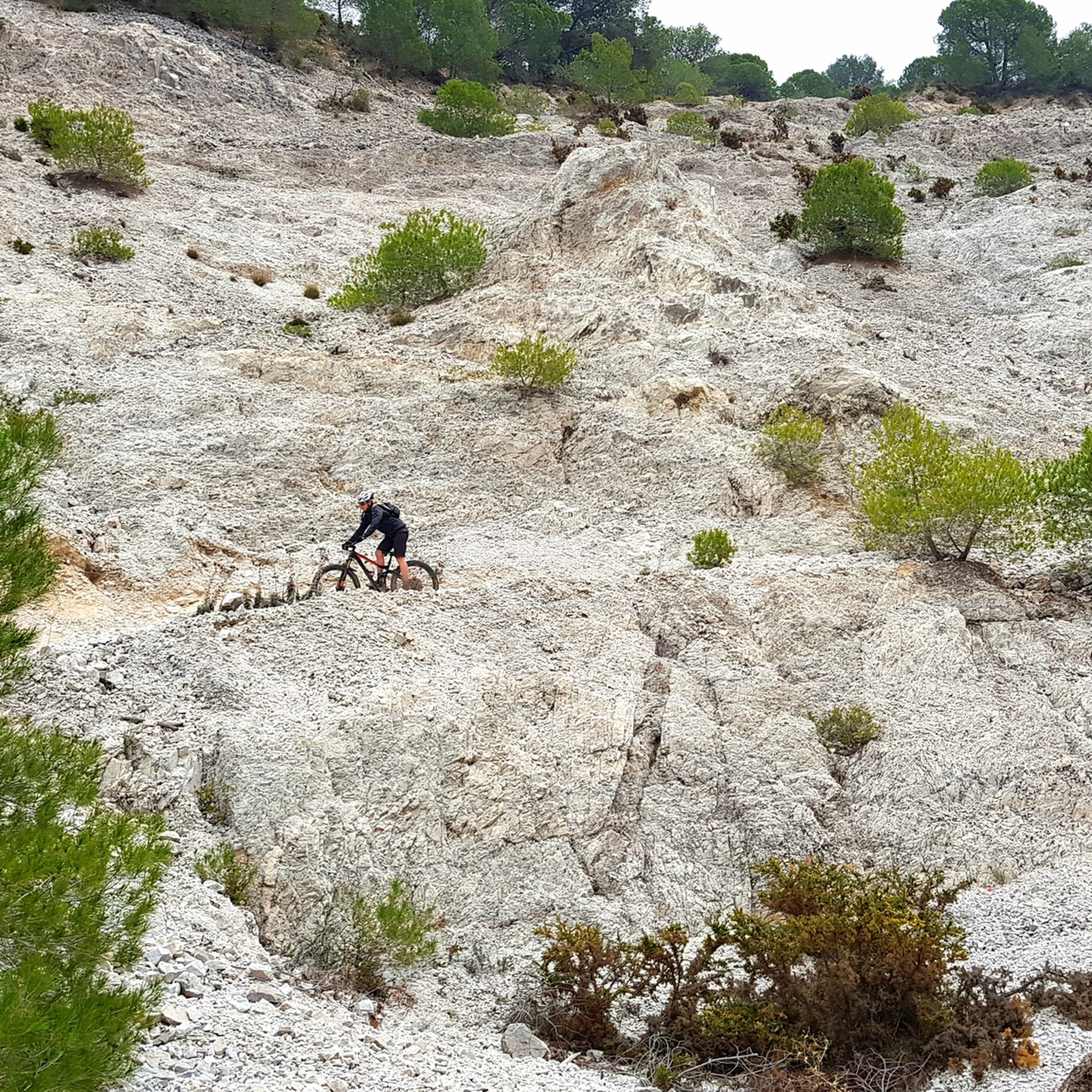
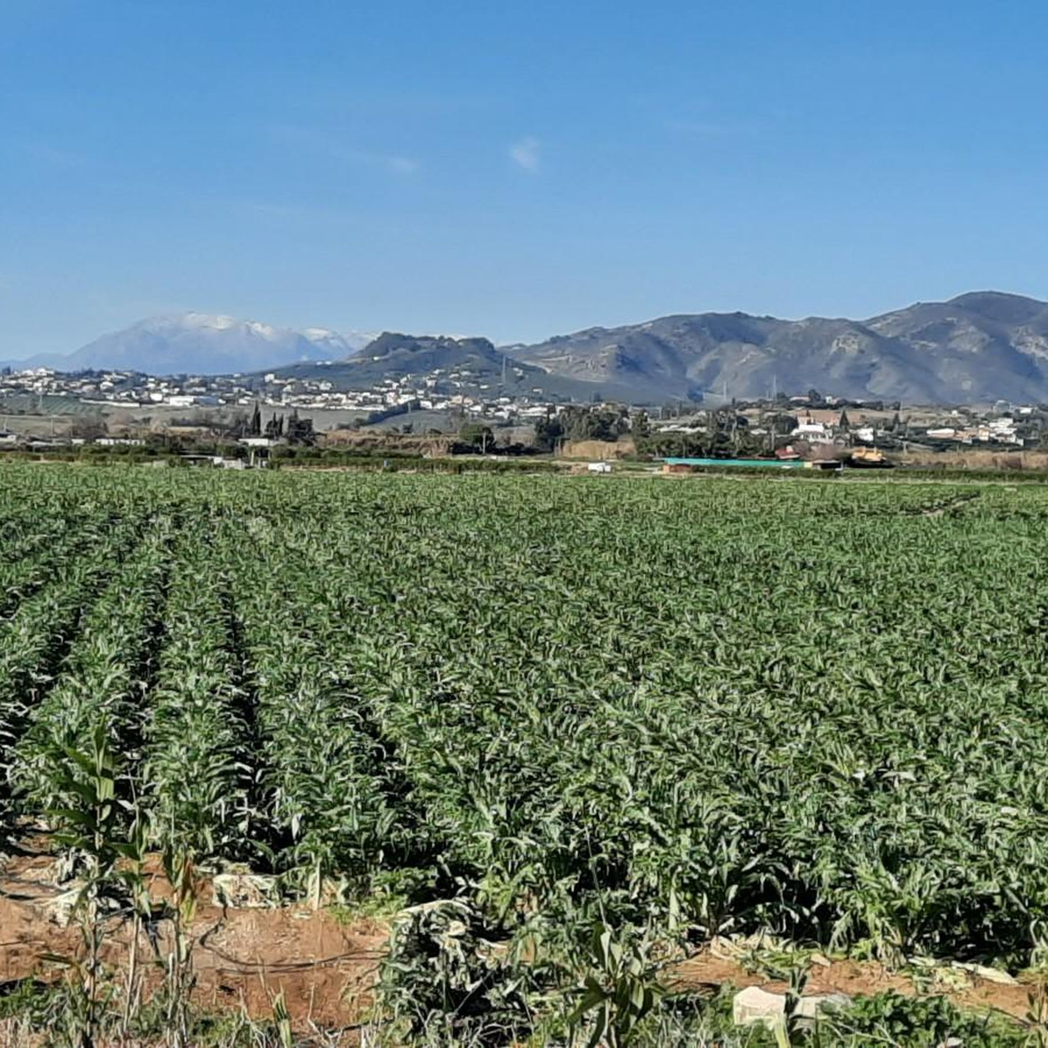

Other adventures around Alhaurín De La Torre

Tips from the Community


Full of holes, horrible for road bike (nov 2025)
2
0

Don't load up on protein at Tejeringos coffee bar.
0
1

Terral Bike Rental is a family-run business established in 2018, offering excellent service and a wide selection of rental bikes. The company offers various types of bikes, including road bikes, mountain bikes, and e-bikes, as well as guided tours. It's an ideal starting point for cyclists without their own bike who want to explore the Costa del Sol region on two wheels.
2
0

Start of the climb and emblematic point to go up to the Jarapalos fountain, you can park in this area and start the climb on foot (you can go up a little further by car to the entrance to the Tiro Pichón range but sometimes there are too many vehicles and it is difficult to park and maneuver).
0
0
La Carihuela is a district in Torremolinos and offers a lively atmosphere, a beautiful sandy beach and many restaurants and bars. There is a well-maintained cycle path along the promenade, which is ideal for a tour. The route runs along the coast, offers wonderful views of the Mediterranean and numerous opportunities to take a break and enjoy the ambience of the area. A relaxing tour.
5
0
There is a well-maintained cycle path along the coast of Torremolinos, perfect for a relaxed bike ride. The cycle path is part of the Paseo Marítimo, a continuous promenade that connects several towns along the Costa del Sol and offers spectacular views of the Mediterranean. The section in Torremolinos is particularly popular and passes numerous beaches, cafes and attractions. The route passes many popular chiringuitos and restaurants where you can enjoy local specialties such as grilled sardines (espetos) or paella. A relaxed tour!
5
0

All information about the "Hotel Melia" can be found at the following link: https://www.melia.com/en/hotels/spain/torremolinos/melia-costa-del-sol?utm_medium=organic&utm_source=directories&utm_campaign=google&utm_content=2916
2
0
Frequently Asked Questions
What kind of terrain can I expect on road cycling routes around Alhaurín de la Torre?
The region offers a diverse terrain, situated between the eastern slopes of the Sierra de Mijas mountain range and the fertile Guadalhorce Valley. You'll encounter varied landscapes, from pine forests and lush vegetable gardens to challenging mountainous sections like Sierra Jabalcuza and Sierra Jarapalos. The roads are generally well-maintained, providing a mix of gentle rides and rigorous ascents.
Are there road cycling routes suitable for beginners or families in Alhaurín de la Torre?
Yes, Alhaurín de la Torre offers routes suitable for various fitness levels. There are 55 easy routes available. A great option for a gentle ride is the Alhaurín de la Torre – circular route to Alhaurín el Grande, which is 17.1 miles (27.6 km) long and takes about 1 hour 14 minutes to complete.
What are some challenging climbs for advanced road cyclists in the area?
Alhaurín de la Torre is known for its challenging climbs. The region features significant ascents such as "The Antennas Climb," a 5 km stretch with a 10% grade. Other routes involve climbing towards "The Pescadores" in Pinos de Alhaurín and Alhaurín el Grande. Overall, there are 60 difficult routes for experienced cyclists seeking a rigorous workout, such as the Coín – Alozaina Arch loop from Campanillas, which features over 1100 meters of elevation gain.
What natural features and landmarks can I see along the road cycling routes?
As you cycle, you can enjoy views of the Sierra de Mijas mountain range and the fertile Guadalhorce Valley, often called the "Malaga vegetable patch," with its fruit trees and subtropical crops. Notable natural areas include Sierra Jabalcuza and Sierra Jarapalos. You might also encounter the remains of the 18th-century Arcos de Zapata Aqueduct or the historic Ermita del Santo Cristo del Cardón, which offers panoramic views.
Are there any waterfalls or caves accessible near the cycling routes?
Yes, the region around Alhaurín de la Torre features several natural attractions. You can find the beautiful Barranco Blanco Waterfall, which is a popular highlight. Additionally, there are several caves to explore, such as the Cave of the Bull and the Cave of the Trinidad Mine, offering unique geological insights.
What is the best time of year for road cycling in Alhaurín de la Torre?
Alhaurín de la Torre benefits from a climate conducive to outdoor activities throughout much of the year. The region is particularly pleasant for road cycling during spring and autumn when temperatures are milder. Even in winter, the climate is often favorable, making it an excellent destination for year-round cycling, though summer can be quite warm.
Are there circular road cycling routes available?
Yes, many of the road cycling routes around Alhaurín de la Torre are circular, allowing you to start and end your ride in the same location. An example is the Alhaurín de la Torre – circular route to Alhaurín el Grande, which is a popular option for its scenic loop.
What are the typical distances and durations for road cycling routes in this area?
The routes vary significantly in length and duration to accommodate all levels. You can find shorter, easy rides like the Alhaurín de la Torre – circular route to Alhaurín el Grande, which is 17.1 miles (27.6 km) and takes about 1 hour 14 minutes. For more challenging and longer rides, options like the Entrance bridge to El Burgo – View of Canillas de Aceituno loop from Campanillas can extend to over 90 miles (146 km) and take several hours.
What do other road cyclists say about the routes in Alhaurín de la Torre?
The road cycling routes around Alhaurín de la Torre are highly rated by the komoot community, with an average score of 4.4 stars from over 600 reviews. Cyclists often praise the "perfect roads" and "very little traffic inland," contributing to an enjoyable and safe riding experience. The variety of terrain and scenic views are also frequently highlighted.
How many road cycling routes are there in total around Alhaurín de la Torre?
There are over 180 road cycling routes available around Alhaurín de la Torre, offering a wide range of options for different skill levels and preferences. This extensive network ensures that every cyclist can find a route that suits their needs, from leisurely rides to demanding climbs.
Are there routes that lead to the coast from Alhaurín de la Torre?
Yes, you can find road cycling routes that take you towards the coast, offering varied landscapes and sea views. A popular option is the Playa de Fuengirola – Elephant Roundabout loop from Alhaurín de la Torre, a 37.9 miles (61.0 km) trail that leads through diverse scenery towards the beautiful Costa del Sol.
What are some other outdoor activities or attractions in Alhaurín de la Torre besides cycling?
Beyond cycling, Alhaurín de la Torre offers several outdoor attractions. You can explore the City Park with its botanical specimens, or visit the Jarapalos Arboretum, known for its ecological value and hiking opportunities. The Jardín Oriental Bienquerido provides a tranquil setting, and the area also features various caves and gorges, such as the Fuente de la Adelfa Ravine.
Most popular routes around Alhaurín De La Torre
Most popular attractions around Alhaurín De La Torre

Get inspired with the komoot mobile app


Explore more
Browse the best Road cycling routes in other regions.
