Parco regionale Sassi di Roccamalatina e di Sant’Andrea
Parco regionale Sassi di Roccamalatina e di Sant’Andrea
The best cycling routes around Parco regionale Sassi di Roccamalatina e di Sant’Andrea
4.5
(180)
3,349
riders
126
rides
Touring cycling routes around Parco regionale Sassi di Roccamalatina e di Sant’Andrea navigate a landscape characterized by dramatic sandstone monoliths, rolling hills, and diverse ecosystems. The park features ancient chestnut groves, riparian forests, and clay hills, providing varied terrain for cycling. The highest point, Monte della Riva, reaches 808 meters above sea level, offering views of the upper Panaro river valley. This region is well-suited for touring cycling, with routes that traverse both asphalt roads and other paths.
Best touring…
Last updated: July 28, 2026
4.7
(6)
203
riders
32.7km
02:43
590m
580m
Hard bike ride. Very good fitness required. You may need to push your bike for some segments of this route.
4.3
(3)
55
riders
22.7km
01:51
570m
570m
Hard bike ride. Very good fitness required. Mostly paved surfaces. Suitable for all skill levels.

Sign up for free
3.0
(1)
22
riders
28.4km
01:53
440m
440m
Moderate bike ride. Good fitness required. Mostly paved surfaces. Suitable for all skill levels.
3.7
(3)
14
riders
Moderate bike ride. Good fitness required. Mostly paved surfaces. Suitable for all skill levels.
7
riders
Moderate bike ride. Good fitness required. Mostly paved surfaces. Suitable for all skill levels.
Get access to more routes and recommendations from other explorers.
Sign up for free
Already have an account?
Our route recommendations are based on thousands of hikes, rides, and runs completed by other people on komoot.
Start today with a free account
Your next adventure awaits.
Login or Signup
Popular around Parco regionale Sassi di Roccamalatina e di Sant’Andrea
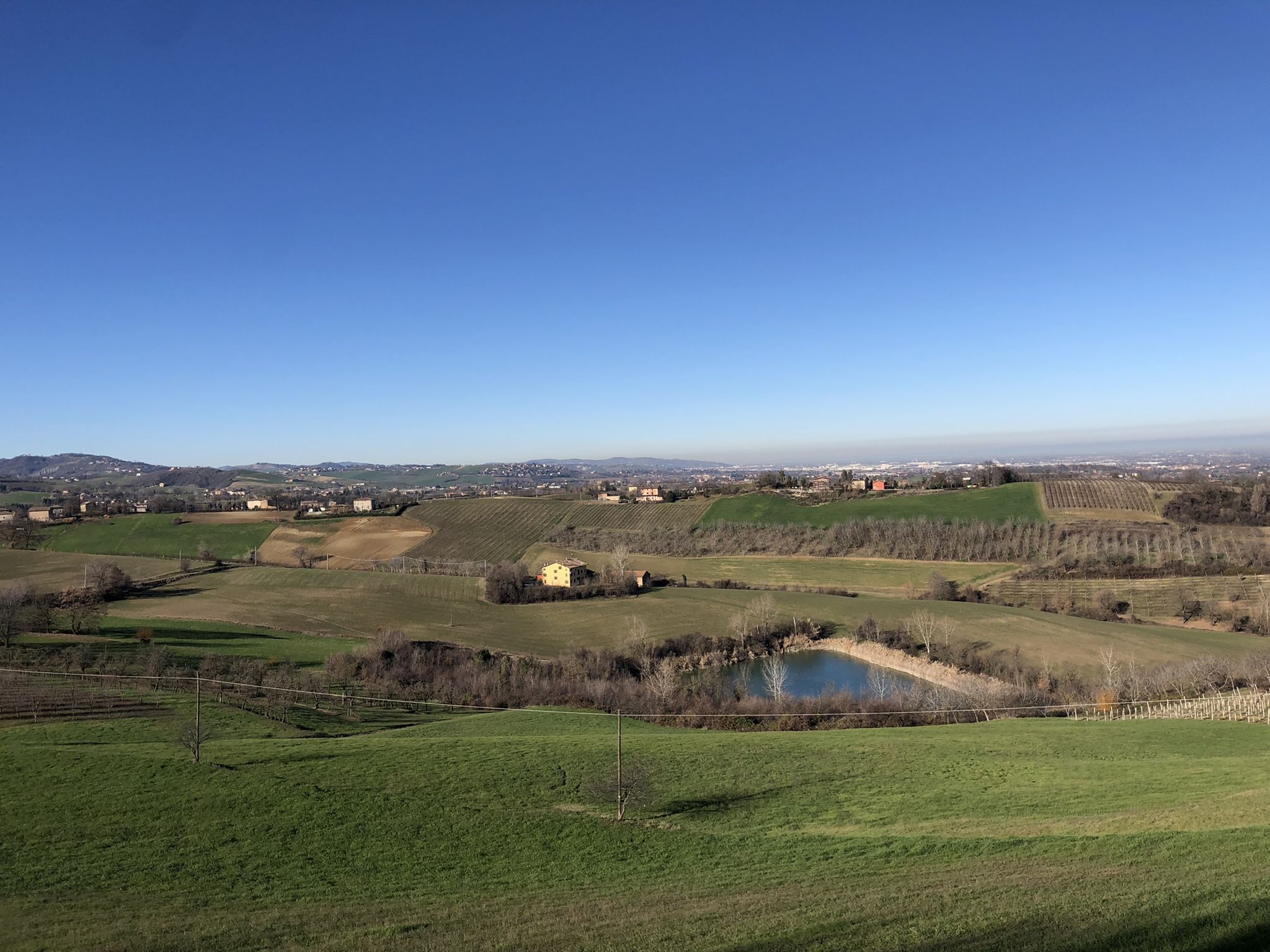
Walking in the Modena area – Via Romea Nonantolana
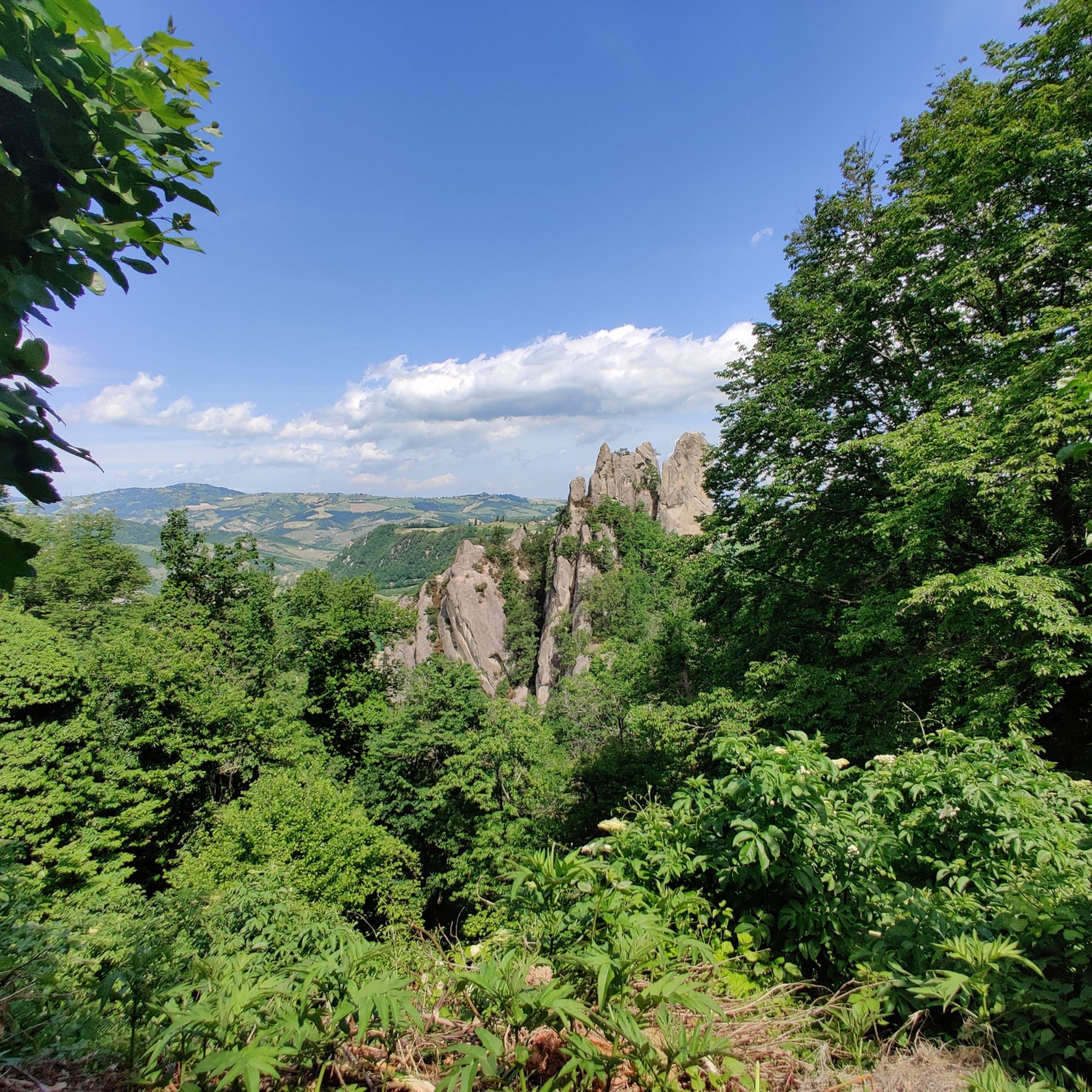
Hiking around Parco regionale Sassi di Roccamalatina e di Sant’Andrea
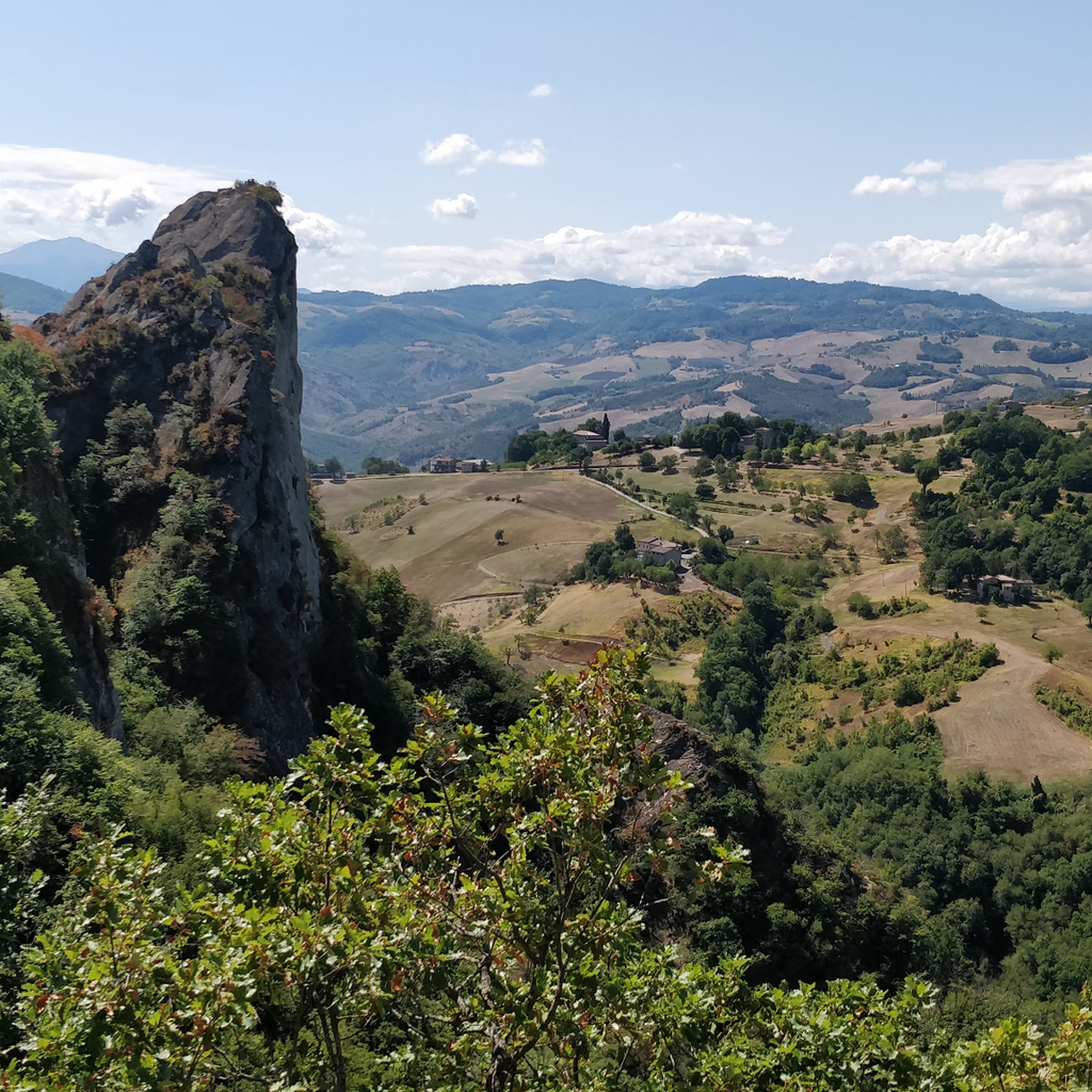
MTB Trails around Parco regionale Sassi di Roccamalatina e di Sant’Andrea
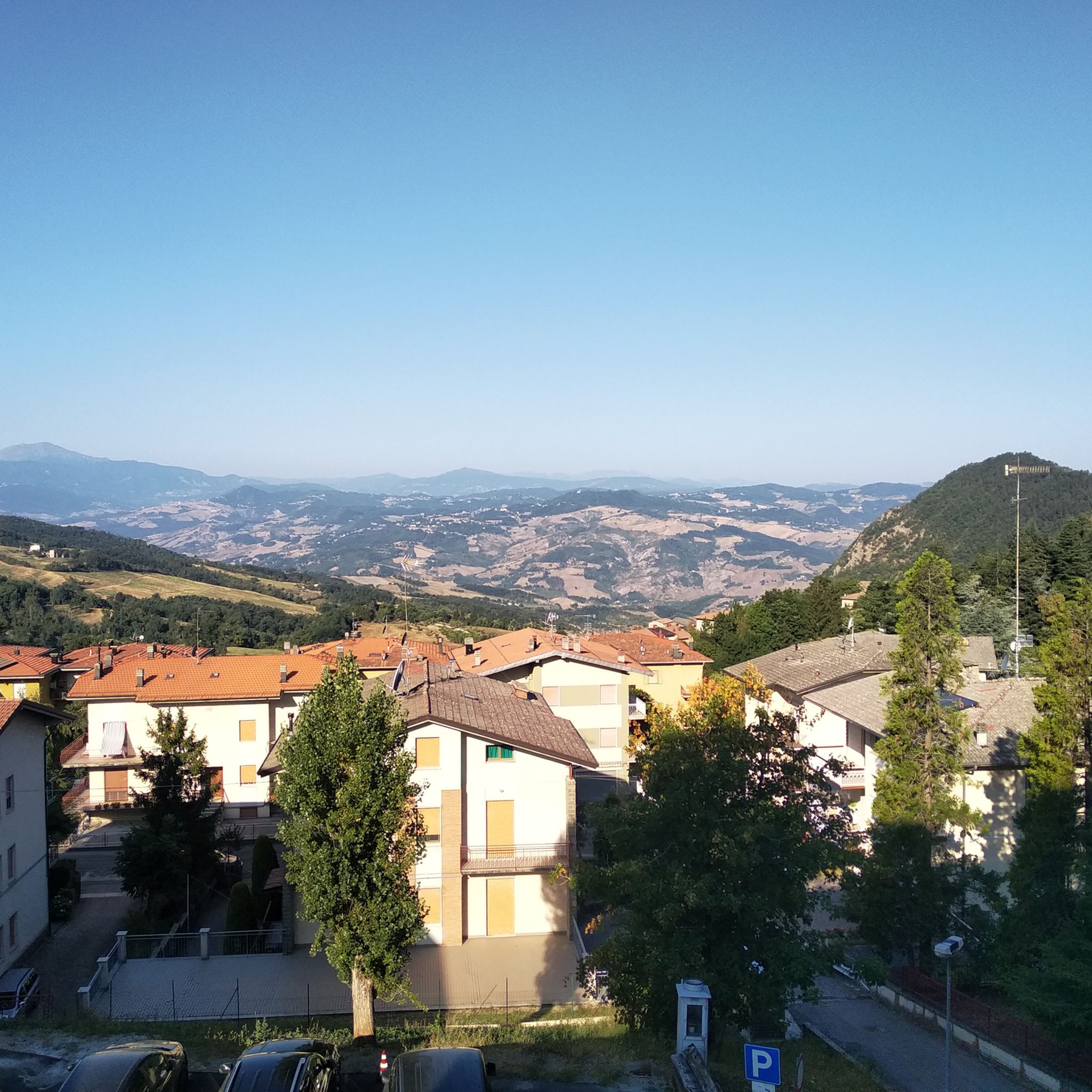
Road Cycling Routes around Parco regionale Sassi di Roccamalatina e di Sant’Andrea
Running Trails around Parco regionale Sassi di Roccamalatina e di Sant’Andrea

Gravel biking around Parco regionale Sassi di Roccamalatina e di Sant’Andrea
Other adventures around Parco regionale Sassi di Roccamalatina e di Sant’Andrea

Tips from the Community


If you are a Vasco fan you can't miss Zocca
0
0

Panoramic viewpoint under the Sassi
0
0

Mural dedicated to Vasco in his hometown
0
0

Sassi di Roccamalatina, beautiful sandstone formations, inside the park of the same name, not to be missed.
0
0

Typical mountain bike route to have a panoramic view of the Sassi
0
0


The complex of Torre Jussi, located in Castel D'aiano and now owned for some time by the Superintendence of Bologna, which has carried out evident restorations, stands proudly, showing the same elegance and the same importance that it had in the distant past, when it belonged to the rich house of Jussi, in fact. more info: https://www.renonews.it/primo-piano/2021/06/25/appennino-magico-torre-jussi/
0
0
Frequently Asked Questions
How many touring cycling routes are available in Parco regionale Sassi di Roccamalatina e di Sant’Andrea?
The park offers a wide selection of touring cycling routes, with over 120 different options to explore. These routes cater to various skill levels, including easy, moderate, and difficult trails.
What natural features can I expect to see while cycling in the park?
The park is renowned for its dramatic sandstone monoliths, the Sassi di Roccamalatina and Sasso di Sant'Andrea, which rise over 70 meters high. You'll also encounter ancient chestnut groves, riparian forests, and clay hills. The highest point, Monte della Riva, offers panoramic views of the upper Panaro river valley.
Are there historical or cultural attractions to visit along the touring cycling routes?
Yes, the park is rich in history. You can visit the charming Trebbio Parish Church, an 11th or 12th-century landmark. Additionally, picturesque medieval villages like Montecorone Historic Village and examples of ancient rural architecture are scattered throughout the area.
What do other touring cyclists say about the routes in Parco regionale Sassi di Roccamalatina e di Sant’Andrea?
The touring cycling routes in the park are highly rated by the komoot community, with an average score of 4.5 stars from over 160 reviews. More than 3,600 touring cyclists have explored the varied terrain, often praising the stunning views and diverse landscapes.
Are there any easy touring cycling routes for beginners?
While many routes are challenging, there are 7 easy touring cycling routes available in the park. One moderate option that offers a pleasant experience is the Bridge Over the Panaro – Panaro Valley loop from Rocchetta, which is about 12.6 km long.
Are there any circular touring cycling routes in the park?
Yes, many of the touring cycling routes in the Parco regionale Sassi di Roccamalatina e di Sant’Andrea are designed as loops. For example, the Sassi di Roccamalatina – Roccamalatina Rocks loop from Casona is a popular circular option.
What kind of terrain should I expect on the touring cycling routes?
The terrain is varied, ranging from asphalt roads to other paths that traverse ancient chestnut groves, clay hills, and riparian forests. You can expect significant elevation changes, with routes featuring both ascents and descents, offering a diverse cycling experience.
What is the best time of year for touring cycling in the Parco regionale Sassi di Roccamalatina e di Sant’Andrea?
The park's diverse flora, including orchids, anemones, and lilies, suggests that spring and early summer offer beautiful scenery. Autumn also provides stunning colors in the chestnut groves. Always check local weather conditions before your ride, as the region experiences seasonal changes.
Is public transport available to reach the cycling routes?
The "Ciclovia del Parco dei Sassi" route, which passes through the park, can be accessed from the Vignola railway station, providing a public transport option for reaching some starting points.
Where can I park my car when visiting the park for cycling?
While specific parking areas for each route are not detailed, the park is generally accessible, and visitors typically find parking in or near the various villages and access points that serve as starting points for the cycling routes.
Are there any advanced cycling routes for experienced touring cyclists?
Yes, the park offers numerous challenging routes. For instance, the View of the Sassi di Roccamalatina – Sassi di Roccamalatina loop from Rocca Malatina is a difficult 62.3 km trail with over 1000 meters of elevation gain, ideal for experienced riders.
Are dogs allowed on the touring cycling routes?
The park is a natural area, and while specific regulations for dogs on cycling routes are not detailed, it's generally advisable to keep dogs on a leash to protect the local wildlife, which includes badgers, porcupines, and roe deer. Always ensure your dog is well-behaved and does not disturb other visitors or animals.
Most popular routes around Parco regionale Sassi di Roccamalatina e di Sant’Andrea
Most popular attractions around Parco regionale Sassi di Roccamalatina e di Sant’Andrea

Get inspired with the komoot mobile app


Explore more
Browse the best Cycling routes in other regions.
