The best walks and hikes around Parco regionale Sassi di Roccamalatina e di Sant’Andrea
4.4
(3289)
10,446
hikers
86
hikes
Hiking trails around Parco regionale Sassi di Roccamalatina e di Sant’Andrea traverse a diverse landscape characterized by towering sandstone spires, extensive woods, and rocky outcrops. The park, spanning over 2,000 hectares, features a network of over 100 km of trails, including routes along the Panaro River Valley. These paths offer varied terrain, from gentle walks through ancient chestnut groves to more challenging routes with significant elevation changes. The region is a Site of Community Importance, supporting diverse ecosystems and wildlife.
Best hiking trails around Parco regionale Sassi di Roccamalatina e di Sant’Andrea
- The most popular hiking route is Sassi di Roccamalatina Trail from Pieve di Trebbio, a 5.0 miles (8.0 km) trail that takes 2 hours 28 minutes to complete. This moderate route offers views of the distinctive sandstone monoliths.
- Another top favourite among local hikers is Sassi di Roccamalatina Loop Trail, a moderate 4.6 miles (7.4 km) path. This trail provides a circular journey through the park's varied natural settings.
- Local hikers also love the Sassi di Roccamalatina Forest Trail, a 5.4 miles (8.7 km) trail leading through diverse woodlands, often completed in about 2 hours 50 minutes.
- Hiking around Parco regionale Sassi di Roccamalatina e di Sant’Andrea is defined by sandstone spires, diverse woods, and the Panaro River valley. The extensive trail network offers options for easy walks to more challenging treks.
- The routes in Parco regionale Sassi di Roccamalatina e di Sant’Andrea are highly rated by the komoot community with an average score of 4.5 stars from over 1,400 reviews. More than 4,700 hikers have used komoot to explore Parco regionale Sassi di Roccamalatina e di Sant’Andrea's varied terrain.
Last updated: August 3, 2026
4.7
(264)
894
hikers
7.99km
02:28
290m
290m
Embark on the Sassi di Roccamalatina Trail from Pieve di Trebbio, a moderate hike spanning 5.0 miles (8.0 km) with 955 feet (291 metres) of elevation gain. This route takes about 2 hours and 28 minutes to complete, leading you through ancient paths. You'll wind through green forests and enjoy wide views of the Panaro valley. Keep an eye out for the distinctive "sassi," three rocky peaks that define the landscape. The trail also features a stone arch bridge and natural springs like the Sorgente della Pira, where water bubbles from old stone walls.
Your hike begins at Pieve di Trebbio, a historic starting point. You can find free parking conveniently located near the Pieve. This area also hosts the Il Fontanazzo visitor center, which offers helpful information about the park and the trail. Plan to arrive early on weekends to secure a spot, especially during peak seasons, to make the most of your visit.
The Sassi di Roccamalatina are unique sandstone spires that have formed over millions of years, creating a dramatic backdrop for your adventure. These geological formations are not just scenic; they also provide nesting sites for peregrine falcons, adding a wildlife element to your experience. The route passes by Sant'Apollonia, offering a viewpoint of the Sassi's western face, and the historic Mulino della Riva, an ancient mill with its original grinding stone and a pleasant picnic area.
4.6
(254)
868
hikers
7.36km
02:25
300m
310m
Embark on the Sassi di Roccamalatina Loop Trail, a moderate hike that takes you through diverse terrain, from natural paths to gravel roads and even some alpine sections. You will cover 4.6 miles (7.4 km) and gain 1000 feet (305 metres) in elevation, typically completing the route in about 2 hours and 25 minutes. As you hike, you will encounter the distinctive rocky outcrops known as the Sassi di Roccamalatina, which define the landscape. The trail offers expansive panoramic vistas, especially as you ascend towards Sasso della Croce di Rocca Malatina. This route provides a rewarding experience for those seeking varied scenery and a good workout.
This moderate hike requires a good basic fitness level, and you should be sure-footed, particularly on some inclines and a potentially technical descent near the beginning. Parking is generally available near the trailheads within the Parco Regionale Sassi di Roccamalatina e di Sant’Andrea. Consider bringing a picnic to enjoy at one of the designated spots within the park, offering a perfect break during your adventure. Always check local conditions before you go, especially regarding weather and trail accessibility.
The regional park is renowned for its unique geological formations, the Sassi di Roccamalatina, which are dramatic sandstone spires rising from the landscape. Beyond these striking rocks, the trail also leads you past the historic Riva Mill, adding a cultural element to your outdoor exploration. You will also find a unique, short climb on sandstone rock at Sasso di Sant'Andrea, highlighting the area's distinctive geology. This trail offers a blend of natural beauty and historical interest, making it a standout in the region.

Sign up for free
4.6
(149)
375
hikers
16.1km
05:10
580m
580m
Embark on the Sassi di Roccamalatina Loop Trail, a difficult hike that takes you through the dramatic landscapes of the regional park. You will cover 10.0 miles (16.1 km) and ascend 1909 feet (582 metres), a journey estimated to take 5 hours and 9 minutes. As you hike, you'll witness towering sandstone spires that define the area, offering views from various angles as the route winds around them. The terrain shifts from gravel roads to quiet forest paths, following natural springs and historic mills along the Rio Tregenda and Rio delle Vallecchie. This challenging route demands good fitness and sure-footedness, rewarding you with a truly immersive experience in nature.
To begin your adventure, head to the ancient Romanesque church of Pieve di Trebbio, which serves as the starting point for this loop. While some sections of the trail are exclusively for pedestrians, be aware that others, particularly on asphalt roads and cart tracks, are shared with cyclists and even horses. Given the difficult rating, ensure you are well-prepared with appropriate gear and sufficient water. Planning an early start is advisable to comfortably complete the route within the estimated duration and enjoy the natural surroundings.
This trail offers more than just a challenging hike; it's an opportunity to explore the unique geology of the Parco Regionale dei Sassi di Roccamalatina. The route also incorporates a segment of the historic Via Romea Nonantolana, an ancient pilgrimage path, adding a layer of cultural significance to your journey. Keep an eye out for the Pieve di Trebbio, a historical landmark that anchors the trail. This blend of natural beauty and historical context makes the Sassi di Roccamalatina Loop Trail a notable regional experience.
4.4
(88)
242
hikers
8.68km
02:51
300m
290m
Embark on the Sassi di Roccamalatina Forest Trail, a moderate hike that takes you through a diverse landscape of ancient chestnut groves and rocky outcrops. You'll navigate varied terrain, from shaded forest paths to open meadows, offering glimpses of the towering sandstone formations of Roccamalatina and Sant'Andrea. This route covers 5.4 miles (8.7 km) with an elevation gain of 993 feet (303 metres), typically taking around 2 hours and 50 minutes to complete. Along the way, you'll enjoy views of Festà and the winding Panaro River, experiencing the unique atmosphere of this protected area. You will encounter narrow gorges, woods, and cultivated fields.
To begin your hike, head to the Via Fondovalle Parking, which serves as the starting point for the Sassi di Roccamalatina Forest Trail. The paths are well-marked, making navigation straightforward as you explore the area. Consider starting your adventure in the morning to make the most of the daylight and enjoy the natural surroundings. The trail concludes at a pleasant picnic area, providing a perfect spot to relax and reflect on your journey.
This trail is notable for its rich biodiversity, showcasing a unique blend of Mediterranean plants like Erica Arborea alongside beech and bilberry. The park is also home to a variety of orchids, anemones, and cyclamen, making it a botanical treasure. Historically, the area has sheltered fortified settlements, possibly dating back to the Byzantine era, adding a layer of cultural heritage to your outdoor experience.
4.4
(53)
129
hikers
6.64km
02:12
230m
230m
Embark on a moderate hike through the Sassi di Roccamalatina Regional Park, a loop trail offering diverse scenery. You will traverse ancient chestnut groves, dense woods, and cultivated fields, encountering varied terrain including hiking paths, asphalt, and gravel roads. The route spans 4.1 miles (6.6 km) with an elevation gain of 761 feet (232 metres), typically taking about 2 hours and 11 minutes to complete. Keep an eye out for the towering sandstone spires, known as Sassi, which rise dramatically up to 70 meters, providing a unique visual landmark. This trail promises numerous panoramic views stretching towards the Panaro valley and the distant Apennine ridge.
This moderate trail requires good fitness and sure-footedness, as some sections may be uneven. The starting point for this loop is the ancient Romanesque Pieve di Trebbio, a historic church dedicated to San Giovanni Battista. Consider starting your hike from here, as it offers a clear and accessible entry to the route. There are picnic areas within the park, perfect for a mid-hike break to enjoy the surroundings. Always check local conditions before you go, especially regarding weather and trail accessibility.
The trail is notable for its historical significance and natural beauty, traversing the Sassi di Roccamalatina Regional Park. You will pass by the Pieve di Trebbio, a church recorded as far back as 1163 and considered a significant example of Romanesque architecture in the Apennines. The route provides breathtaking panoramic views of the Panaro valley, an area often called the "balcony of Emilia." This hike offers a blend of natural exploration and a glimpse into the region's rich past.
Get access to more routes and recommendations from other explorers.
Sign up for free
Already have an account?
Our route recommendations are based on thousands of hikes, rides, and runs completed by other people on komoot.
Start today with a free account
Your next adventure awaits.
Login or Signup
Popular around Parco regionale Sassi di Roccamalatina e di Sant’Andrea
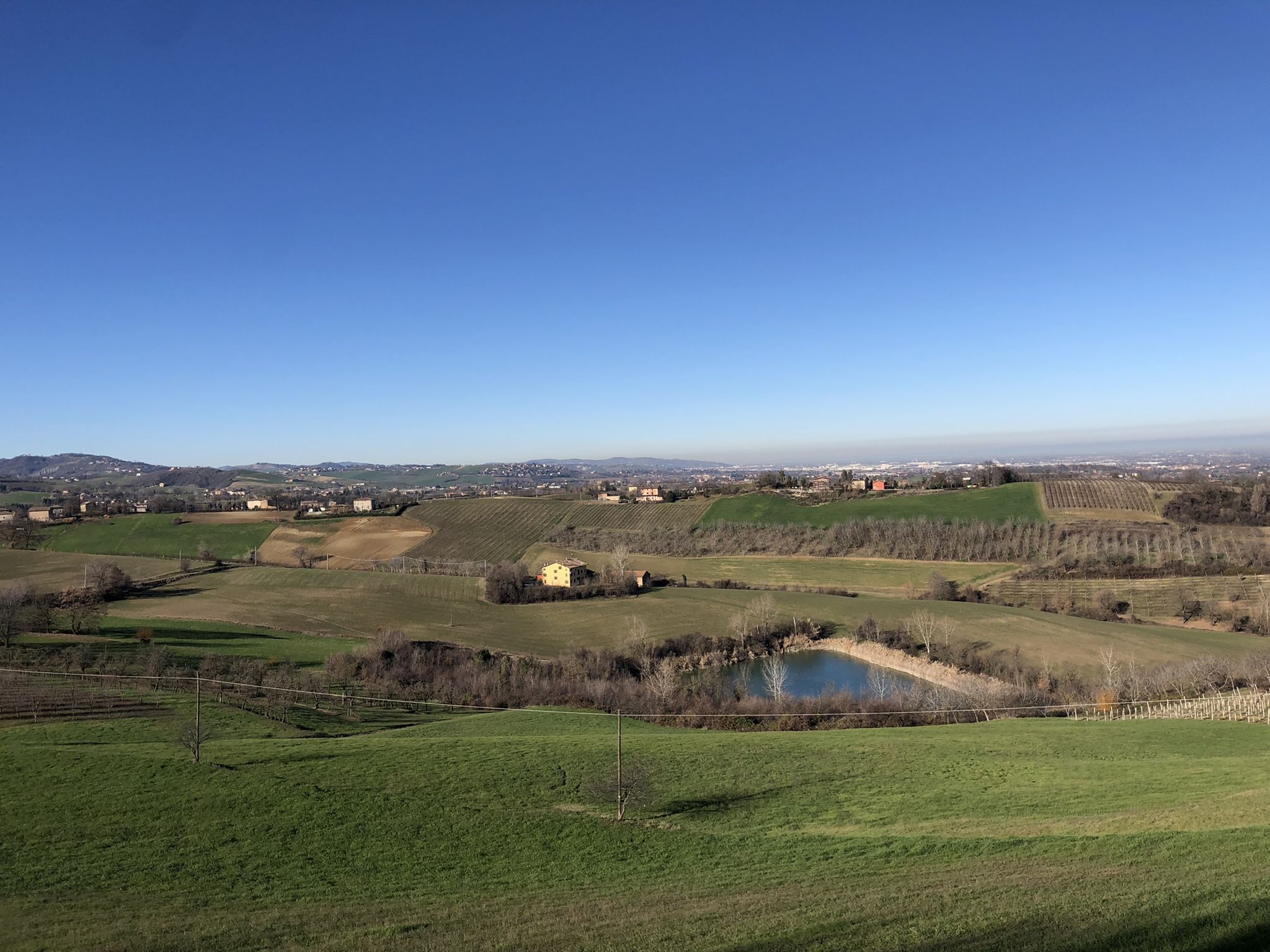
Walking in the Modena area – Via Romea Nonantolana
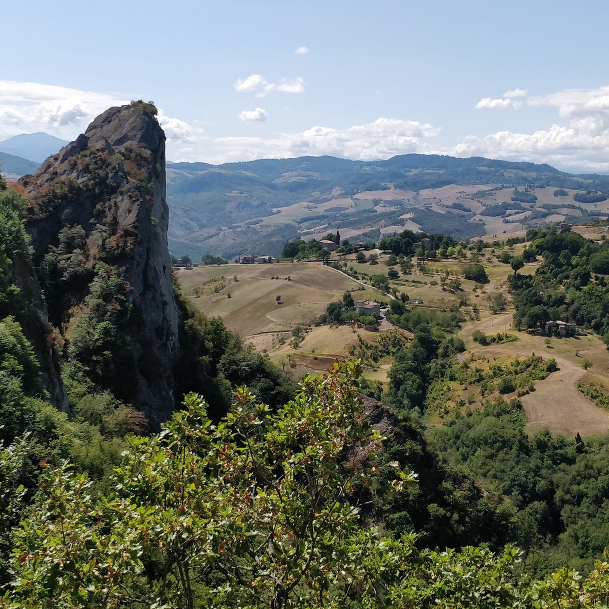
MTB Trails around Parco regionale Sassi di Roccamalatina e di Sant’Andrea
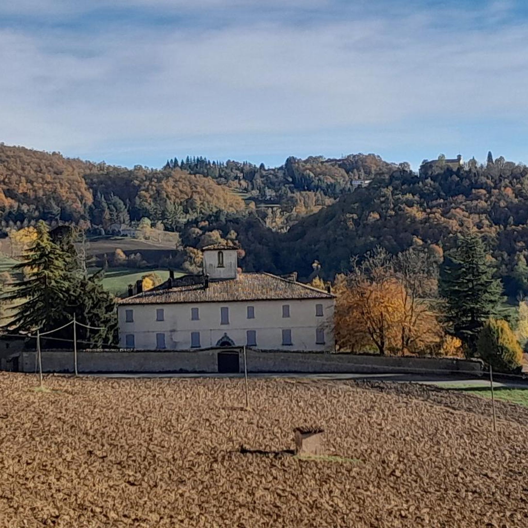
Cycling around Parco regionale Sassi di Roccamalatina e di Sant’Andrea
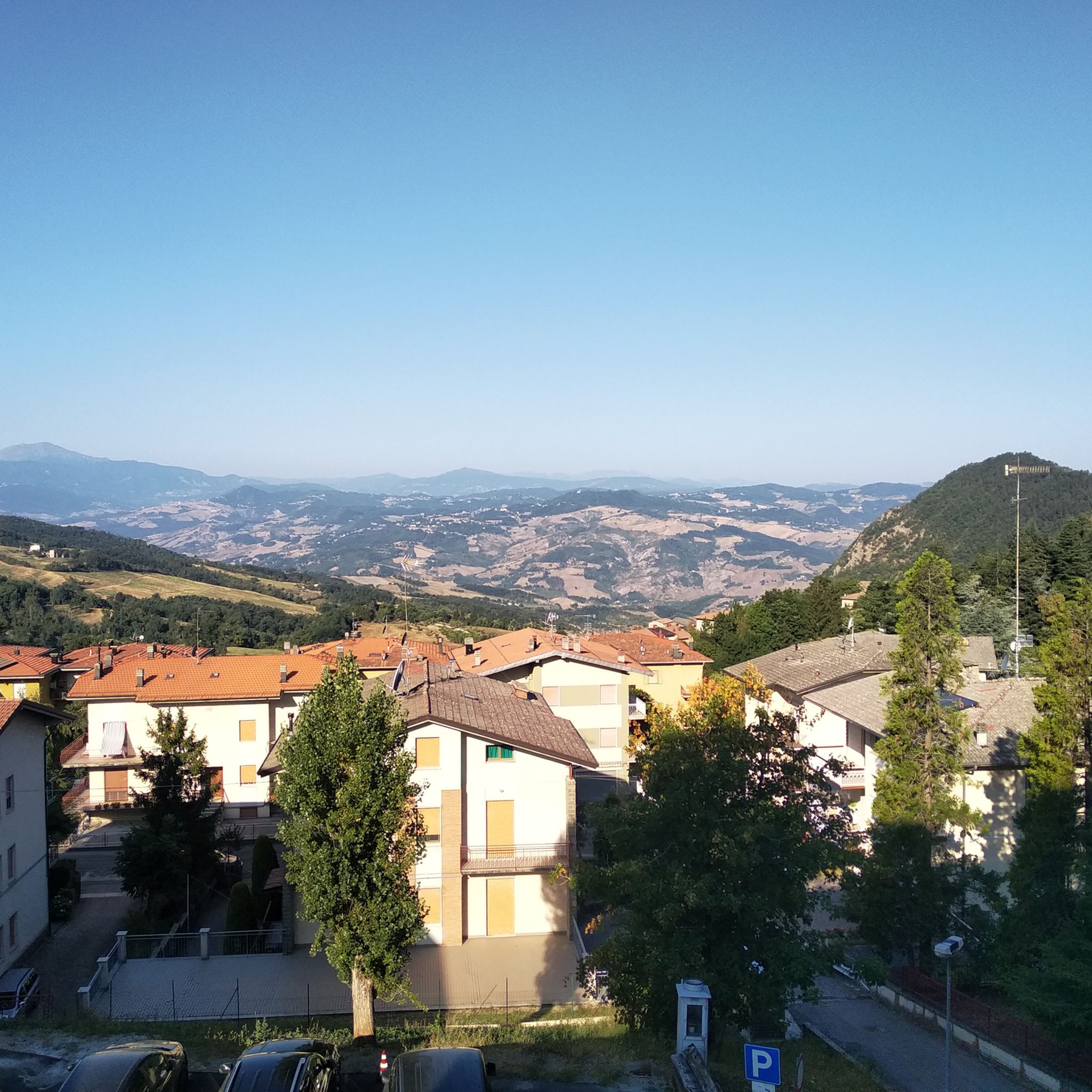
Road Cycling Routes around Parco regionale Sassi di Roccamalatina e di Sant’Andrea
Running Trails around Parco regionale Sassi di Roccamalatina e di Sant’Andrea

Gravel biking around Parco regionale Sassi di Roccamalatina e di Sant’Andrea
Other adventures around Parco regionale Sassi di Roccamalatina e di Sant’Andrea

Tips from the Community


Panoramic viewpoint under the Sassi
0
0

Old mill renovated on the outside. It still has the millstone and underneath there is the secondary channel that directed the water to move the rotor of the mill.
0
0
The source is identified by the typical smell of sulfur. It is beyond the small stream.
0
0

Very beautiful place, with equally beautiful trails
1
0

Sassi di Roccamalatina, beautiful sandstone formations, inside the park of the same name, not to be missed.
0
0

Waterfall in the Sassi park
0
0
Frequently Asked Questions
How many hiking trails are there in Parco regionale Sassi di Roccamalatina e di Sant’Andrea?
The park offers an extensive network of over 100 km of trails. On komoot, you can find 78 hiking routes, ranging from easy walks to more challenging treks, ensuring options for various skill levels.
What are the main geological features of the park?
The most striking features are the 'Sassi,' or 'stones,' which are dramatic sandstone monoliths rising over 70 meters high. Notable examples include Sassi di Roccamalatina and Sasso di Sant'Andrea. These impressive rock formations create a unique and picturesque landscape.
Are there any easy hiking trails suitable for beginners or families?
Yes, the park has 12 easy routes. A popular option is the "Gnome Village loop from Monteorsello" (4.5 km). Another gentle walk is the "Trebbio Parish Church – Pieve di Trebbio loop from Rocca Malatina" (5.9 km), which also allows you to see the historic Pieve di Trebbio.
What historical or cultural attractions can I find along the trails?
You can explore the ancient Romanesque Trebbio Parish Church, which dates back to the eleventh or twelfth century. The park's surroundings also feature picturesque medieval villages like Castellino delle Formiche and Castellaro, offering glimpses into rural architecture.
What is the best time of year to go hiking in Parco regionale Sassi di Roccamalatina e di Sant’Andrea?
The park can be visited year-round, but autumn and spring offer particularly stunning spectacles. These seasons provide pleasant temperatures and vibrant natural colors, making them ideal for hiking.
Are there any long-distance or multi-day hiking options?
For experienced hikers, the "TRA STORIA E NATURA" (Between History and Nature) route is a notable option. This trail covers significant altitude differences and touches on all the park's important points, typically taking two days to complete.
What kind of wildlife can I expect to see in the park?
The Sassi are a historic nesting site for birds of prey, including the peregrine falcon, and an overwintering spot for the rare wallcreeper. The park is also home to various middle Apennine animals such as badgers, porcupines, squirrels, dormice, foxes, and roe deer.
Where can I find parking for hiking trails in the park?
While specific parking locations are not detailed in the guide, the park is well-equipped for visitors. Look for designated parking areas near trailheads or visitor centers, especially around popular starting points like Pieve di Trebbio or Rocca Malatina.
What do other hikers enjoy most about hiking in Parco regionale Sassi di Roccamalatina e di Sant’Andrea?
The area is highly rated by the komoot community, with an average score of 4.5 stars from over 1,400 reviews. Reviewers often praise the distinctive sandstone monoliths, the diverse woodlands, and the well-maintained network of trails that cater to all levels.
Are there any circular hiking routes available?
Yes, many trails in the park are circular. For example, the Sassi di Roccamalatina Loop Trail offers a moderate 7.4 km journey through the park's varied natural settings, providing a convenient return to your starting point.
Can I reach the park using public transport?
Information on specific public transport routes directly to the trailheads is limited. It is advisable to check local bus schedules or regional transport services that connect to nearby towns like Guiglia or Zocca, from where you might need to arrange further transport or walk to the park's entry points. For more general information about the region, you can visit Visit Modena.
Are there any specific viewpoints or panoramic spots in the park?
The village of Guiglia, known as the "balcony of Emilia," offers panoramic views of the Panaro valley. Additionally, many trails provide stunning vistas of the towering Sassi formations and the surrounding rolling hills, particularly from elevated sections of routes like the Sassi di Roccamalatina Trail from Pieve di Trebbio.
Most popular routes around Parco regionale Sassi di Roccamalatina e di Sant’Andrea
Most popular attractions around Parco regionale Sassi di Roccamalatina e di Sant’Andrea

Get inspired with the komoot mobile app


Explore more
Browse the best Hikes in other regions.
