The best walks and hikes around Parco nazionale dell'Aspromonte
4.4
(418)
1,714
hikers
111
hikes
Hiking around Parco nazionale dell'Aspromonte offers diverse landscapes in the "toe" of Italy's boot, characterized by rugged mountains, deep gorges, and extensive forests. The region features the Aspromonte massif, with Montalto peak rising to 1,956 meters, providing panoramic views. Water is a prominent feature, with numerous rivers, streams, and spectacular waterfalls carving through the terrain.
Best hiking trails around Parco nazionale dell'Aspromonte
- The most popular hiking route is Gambarie - ring tour - Aspromonte National Park, a 5.4 miles (8.7 km) trail that takes 3 hours 36 minutes to complete. This moderate route starts from a popular hub and offers views of the surrounding area.
- Another top favourite among local hikers is Cascate del Maesano - Aspromonte National Park, an easy 2.3 miles (3.7 km) path. This trail leads to the impressive Amendolea Falls, showcasing the park's water features.
- Local hikers also love the Waterfalls Trail, a 2.1 miles (3.4 km) trail leading through varied terrain to natural wonders, often completed in about 1 hour 9 minutes.
- Hiking around Parco nazionale dell'Aspromonte is defined by rugged mountains, diverse forests, and spectacular waterfalls. The network offers options for different ability levels, from easy walks to more challenging ascents.
- The routes in Parco nazionale dell'Aspromonte are highly rated by the komoot community with an average score of 4.5 stars from over 200 reviews. More than 1000 hikers have used komoot to explore Parco nazionale dell'Aspromonte's varied terrain.
Last updated: October 10, 2026
4.9
(21)
121
hikers
3.67km
01:07
120m
120m
Embark on an easy hike to the Cascate del Maesano, a captivating route through the Aspromonte National Park. This trail spans 2.3 miles (3.7 km) with an elevation gain of 397 feet (121 metres), typically taking about 1 hour and 7 minutes to complete. You will wander through lush beech, fir, and pine forests, often following the Menta Torrent. The main highlight is the Maesano Waterfalls, a series of three to five cascades that create striking emerald-green pools. From panoramic viewpoints, you can enjoy wide vistas of the Aspromonte region, and on clear days, even spot Sicily and the Aeolian Islands.
To begin your adventure, you can often start near the Menta Dam or a clay car park close to the Menta Torrent. Some guided treks depart from Gambarie d'Aspromonte. The initial section leading to a viewpoint overlooking the waterfalls is generally well-marked and suitable for most fitness levels. If you choose to descend to the base of the waterfalls, be aware that this part becomes more challenging, with uneven or slippery sections, so sturdy footwear and sure-footedness are recommended.
What makes this trail special is not just the impressive waterfalls and their inviting pools, but also the rich natural environment. Keep an eye out for local wildlife, including rare amphibians like the Spectacled and Spotted Salamanders, or the southern black squirrel. The dense, unspoiled woodlands offer an authentic natural encounter. This area is also steeped in local culture, known by shepherds and mountain people by its evocative local name, "U Schiucciu da spana."
3.7
(35)
113
hikers
8.69km
03:36
480m
480m
Embark on the Gambarie - ring tour - Aspromonte National Park, a moderate hike spanning 5.4 miles (8.7 km) with an elevation gain of 1581 feet (482 metres). This route typically takes around 3 hours and 35 minutes to complete. You will traverse varied terrain, including unpaved paths through extensive forests of beech, silver fir, chestnut, and oak, alongside some paved street sections. A highlight is the Vallescura Waterfall, part of the enchanting "Path of the Fairies," and on clear days, you can enjoy panoramic views across the Mediterranean Sea to Mount Etna. The trail requires good fitness and sure-footedness, aligning with a moderate difficulty rating.
Gambarie itself is a charming mountain resort, serving as a key hub for outdoor activities within the park, providing amenities and easy access to the trail. While the research does not specify trailhead access or parking details, its location within a well-established resort suggests convenient starting points. This popular route is known for its blend of natural beauty and accessible paths, making it a favorite among local hikers seeking both adventure and relaxation.
The Aspromonte National Park, recognized as part of the UNESCO Global Geoparks Network since 2021, offers unique geological features like the "fiumare," ephemeral riverbeds that cut through gorges. The trail's popularity stems from its scenic beauty, the presence of tranquil waterfalls, and its location within this protected area. This combination of a resort town and diverse natural landscapes makes the Gambarie ring tour a notable experience for visitors.

4.6
(27)
101
hikers
3.36km
01:09
170m
170m
Embark on the Waterfalls Trail, an easy hike that guides you through a humid, dense forest filled with ancient trees and abundant mosses. This route covers 2.1 miles (3.4 km) with an elevation gain of 561 feet (171 metres), typically taking about 1 hour and 9 minutes to complete. You will discover the spectacular Mundu Waterfall and Galasia Waterfall, where water cascades impressively, creating a refreshing atmosphere.
When planning your visit, note that the trail is generally considered easy, making it suitable for various fitness levels. While much of the path is shaded, be aware that some sections can be rocky. The ascent from the base of Galasia Waterfall might present a slightly more challenging part of the hike. Parking is usually available near the trailhead, but it is always a good idea to check local conditions before you go.
This trail offers a unique opportunity to explore the natural beauty of Aspromonte National Park. As you hike, keep an eye out for the rare *Woodwardia radicans*, a prehistoric fern that adds to the trail's distinct, primordial feel. Some parts of the route also provide panoramic views stretching towards the Tyrrhenian Sea, offering a broader perspective of the landscape.
4.7
(12)
74
hikers
8.97km
02:58
430m
430m
Embark on a moderate hike through the "Valley of the Great Stones" in the National Park of Aspromonte, where unique geological formations dominate the landscape. This 5.6-mile (9.0 km) route, with an elevation gain of 1404 feet (428 metres), takes approximately 2 hours and 58 minutes to complete. As you hike, you will encounter colossal monolithic rocks like Pietra Cappa, Stone Castle, and Long Stone, while winding through dense vegetation of chestnut, holm oak, wild mint, and oregano. The trail offers varying perspectives of Pietra Cappa as you circumnavigate it, and some viewpoints reward you with expansive views of the Ionian and Tyrrhenian Seas, and even Mount Etna. This trail requires good fitness and sure-footedness, involving trekking up and down mountainsides with a few obstacles. While the specific duration can vary depending on your chosen loop, expect a challenging excursion where trekking shoes and good physical preparation are necessary. Always be prepared for the terrain, which includes diverse vegetation and ancient forests. The primary draw of this trail is Pietra Cappa itself, recognized as the largest monolith in Europe, standing 140-145 meters (459 feet) high and covering 4 hectares. This geological site is a symbol of the UNESCO-recognized Aspromonte Geopark, showcasing massive rocky conglomerates shaped by natural forces. Beyond its natural grandeur, the area is rich in history and folklore, with ancient rock settlements and caves like the "Rocche of San Pietro" once inhabited by Basilian monks. The monolith is also central to numerous local legends, adding a mystical layer to your hiking experience.
4.8
(13)
42
hikers
5.08km
01:28
130m
130m
Embark on the Anello del Sentiero di Basilicò, an easy hiking route that takes you through a tranquil, forested environment within the Aspromonte National Park. This loop covers 3.2 miles (5.1 km) with a gentle elevation gain of 421 feet (128 metres), making it perfect for a relaxed outing. You can expect to complete the hike in about 1 hour and 28 minutes, enjoying the peaceful atmosphere and the highlight of the charming Vallescura Waterfall nestled among the trees.
To begin your adventure, head to the trailhead located near the Gambarie Fountain. This is a convenient reference point, and you'll typically find parking available nearby, making access straightforward. The easy difficulty means you won't need any special equipment or advanced hiking skills, and the route is suitable for most fitness levels. Plan your visit for a time when you can fully immerse yourself in the natural surroundings.
The Aspromonte National Park provides a rich natural backdrop for this trail, known for its ancient forests and diverse plant life. It's a peaceful haven for nature lovers, offering a chance to connect with the environment away from the hustle and bustle. The Anello del Sentiero di Basilicò stands out as an accessible way to experience the park's serene beauty and discover its unique ecological character.
Get access to more routes and recommendations from other explorers.
Already have an account?
Our route recommendations are based on thousands of hikes, rides, and runs completed by other people on komoot.
Start today with a free account
Your next adventure awaits.
Popular around Parco nazionale dell'Aspromonte
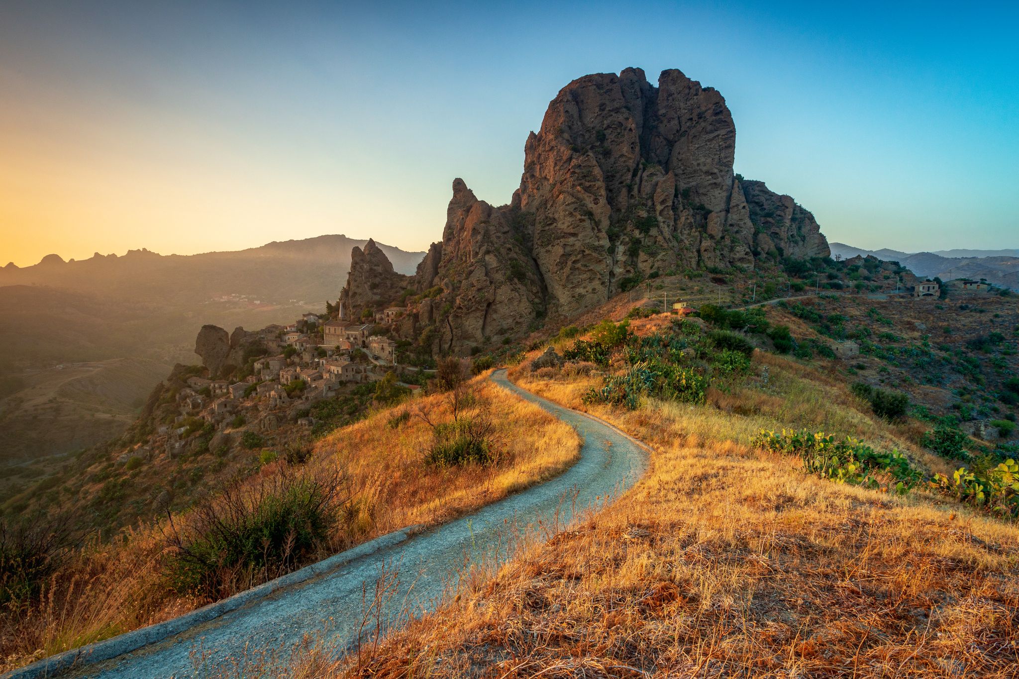
Tracing Edward Lear’s journey through Calabria – Sentiero dell'Inglese

Along the backbone of Calabria – Sentiero Italia
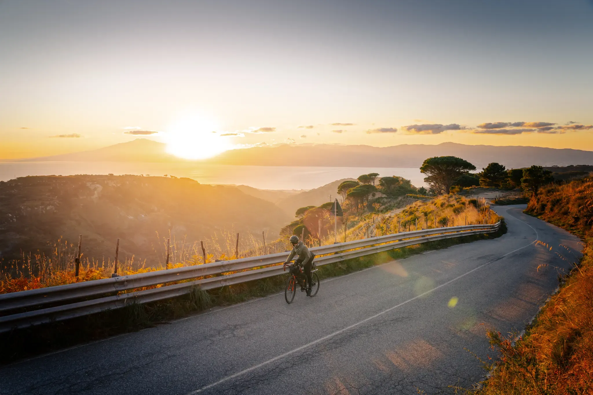
Cycle through the colourful heart of Italy’s Calabria – Ciclovia Parchi
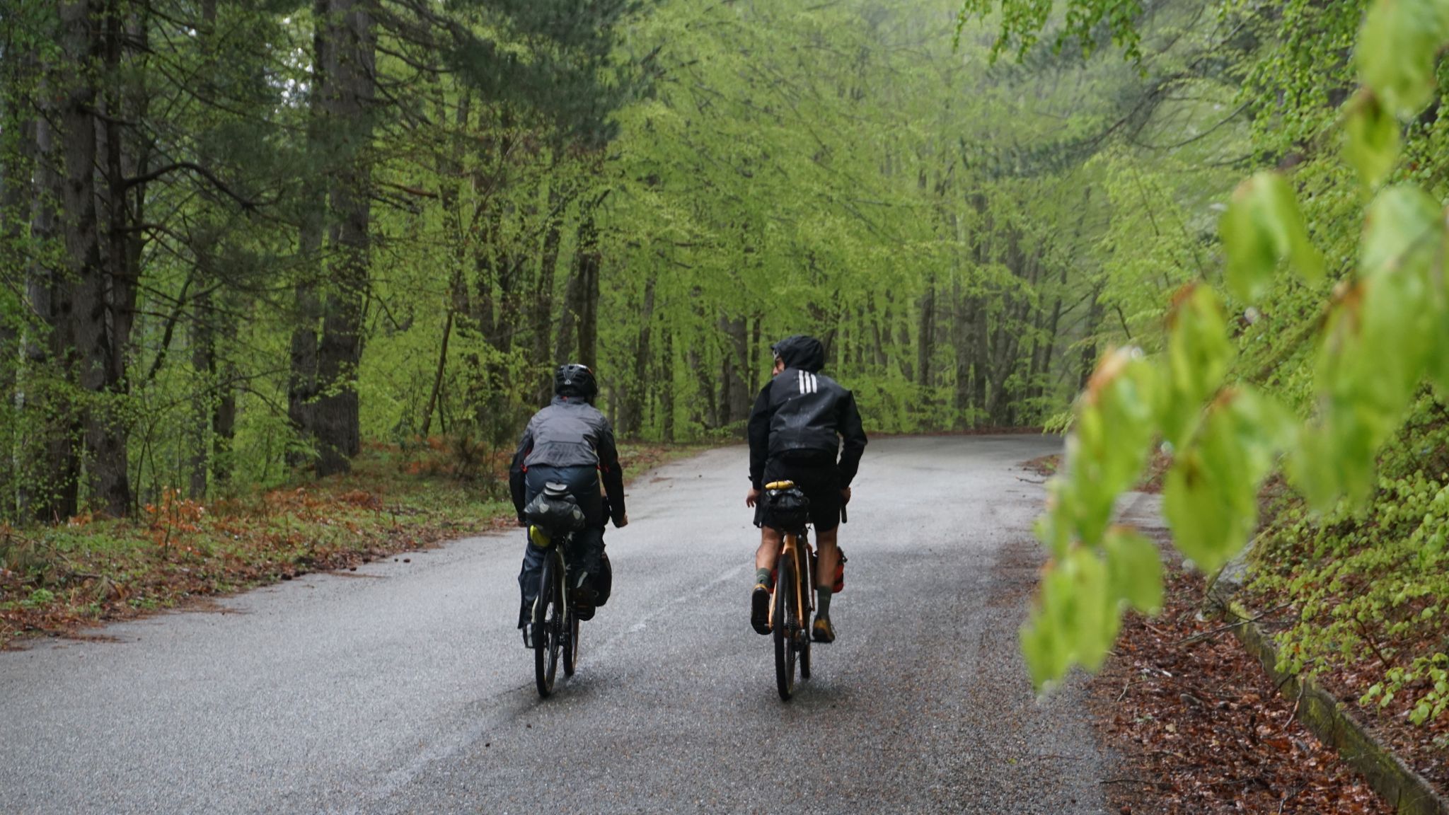
The unexpected mountain – Ciclovia Parchi Calabria
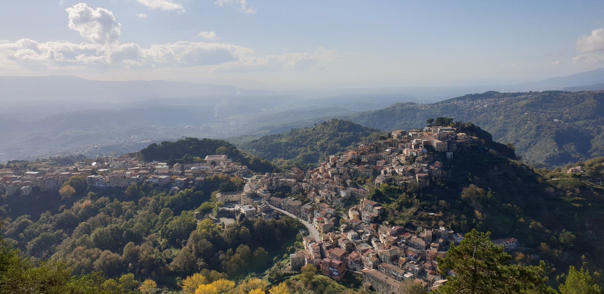
Explore art and culture in Italy – cycling Tours in Calabria's National Parks
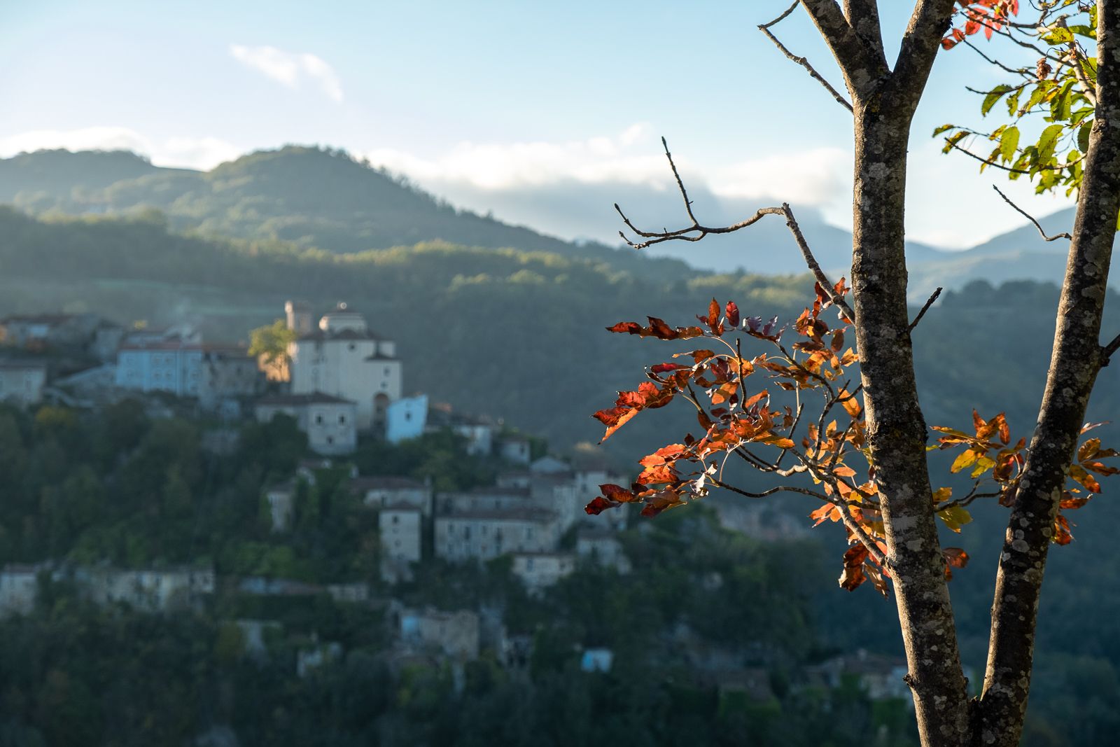
History and faith – exploring Calabria's National Parks in southern Italy
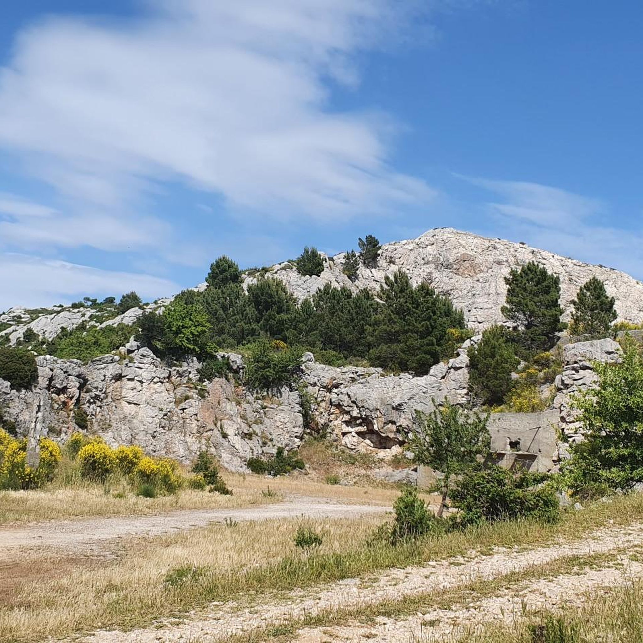
Cycling around Parco nazionale dell'Aspromonte
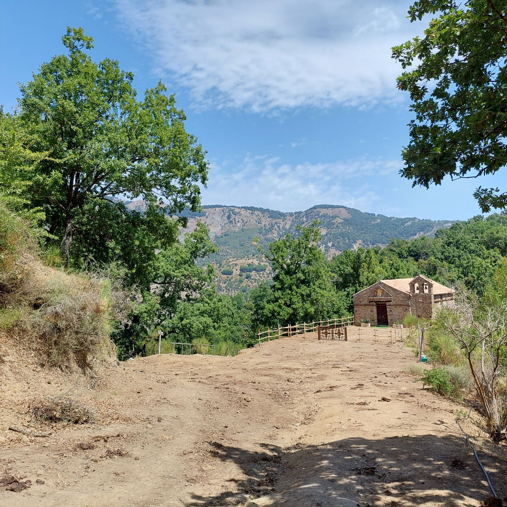
MTB Trails around Parco nazionale dell'Aspromonte
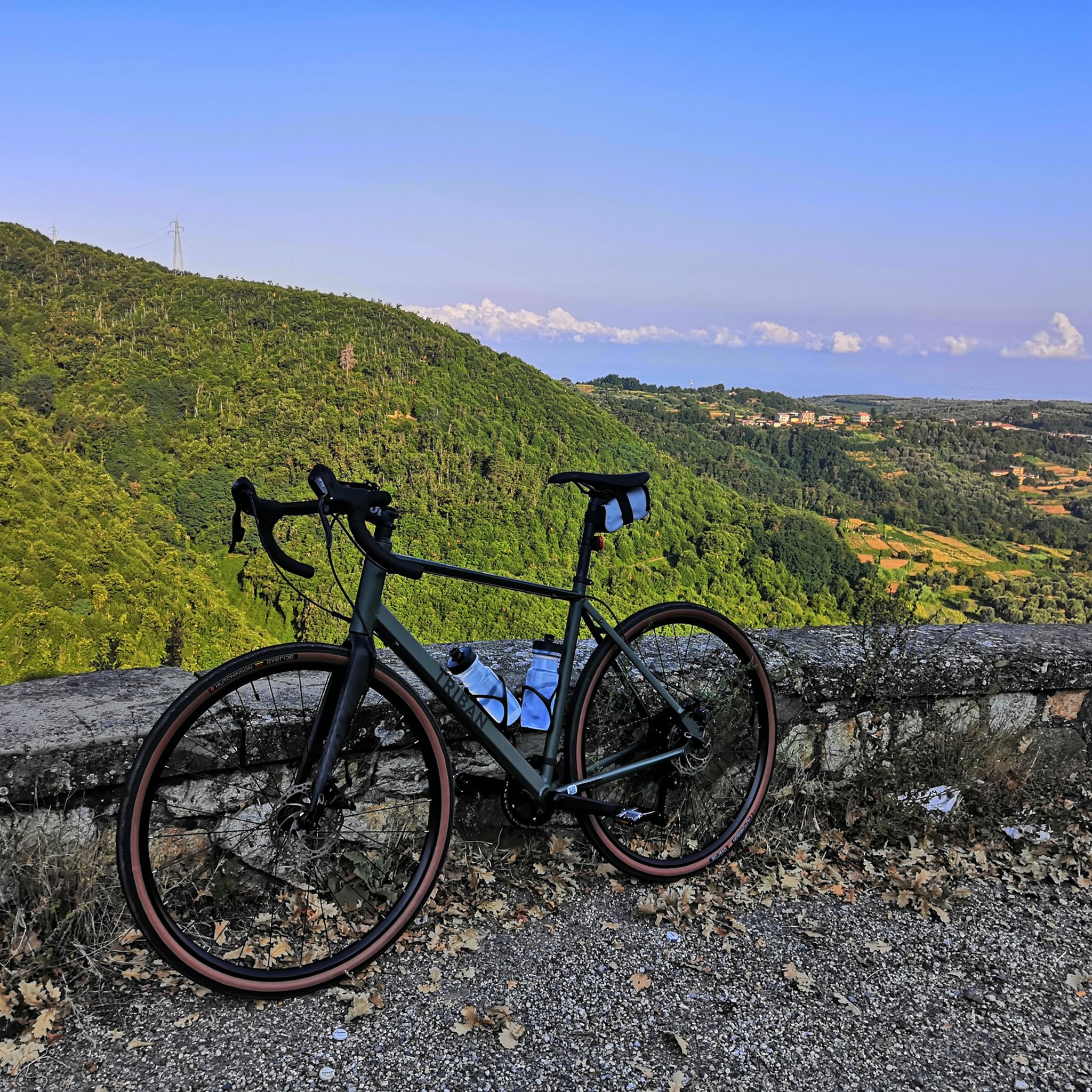
Road Cycling Routes around Parco nazionale dell'Aspromonte
Running Trails around Parco nazionale dell'Aspromonte
Other adventures around Parco nazionale dell'Aspromonte


Tips from the Community


There are no water points and I recommend suitable shoes.
0
0

Gambarie, in the heart of the Aspromonte National Park at 1,310 m above sea level, is a charming mountain resort in Santo Stefano in Aspromonte, Reggio Calabria. Founded in the 1920s, it offers both summer and winter attractions. Hiking trails, ski slopes and breathtaking views from Etna to the Aeolian Islands.
4
0
The Mundu Waterfall, which is located at 675 m above sea level. within the Aspromonte, it represents a natural wonder in an area where waters and suggestive waterfalls abound. The way to reach this waterfall is fascinating and impressive, despite its brevity, and is characterized by some difficulties due to landslides
3
0
The Galasia Waterfall, located at 645 m above sea level. in Aspromonte, it represents an exciting natural spectacle in an area rich in water and suggestive waterfalls. The path to reach it is short but suggestive and breathtaking. The path, crossing beech and pine forests, leads to three waterfalls that have formed pools in the rock, in which, in summer, it is a must to take a bath as a reward for the journey.
3
1

One of the most beautiful places in the Aspromonte National Park and in all of Calabria!
0
0

The Vallescura waterfall is located near Gambarie d'Aspromonte. It is located along the "Path of the Fairies."
2
0
Frequently Asked Questions
How many hiking trails are available in Parco Nazionale dell'Aspromonte?
Parco Nazionale dell'Aspromonte offers a wide range of hiking opportunities, with over 100 marked trails. These routes cater to various skill levels, including 31 easy, 48 moderate, and 22 difficult options, ensuring there's a suitable path for every hiker.
What are the best times of year to go hiking in Aspromonte National Park?
The best times for hiking in Parco Nazionale dell'Aspromonte are generally spring (April-June) and autumn (September-October) when temperatures are milder and the landscapes are vibrant. Summer can be hot, especially at lower altitudes, while winter offers unique experiences like skiing in Gambarie with views of the Strait of Messina, though some higher trails may be snow-covered.
Are there any trails that feature impressive waterfalls?
Yes, the park is renowned for its spectacular waterfalls. You can explore routes like the Cascate del Maesano - Aspromonte National Park, which leads to the impressive Amendolea Falls. The Waterfalls Trail also guides you through varied terrain to natural wonders, including the Galasia and Mundu waterfalls. For more information on these natural attractions, you can visit the Waterfalls around Parco nazionale dell'Aspromonte guide.
Are there any family-friendly hiking options in Parco Nazionale dell'Aspromonte?
Yes, there are several easy trails suitable for families. The Cascate del Maesano - Aspromonte National Park is an easy 3.7 km path leading to the Amendolea Falls. Another accessible option is the Monte Tre Pizzi Trail, a 4.3 km easy route offering panoramic views of the Ionian Sea.
What unique natural landmarks can I see while hiking in the park?
The park is home to unique geological formations. A notable landmark is Pietra Cappa, one of Europe's largest monoliths, which you can experience on the Pietra Cappa – National Park of Aspromonte trail. The park also features rugged mountains, deep gorges, and ancient beech woodlands like those in Valle Infernale, a UNESCO World Heritage site. For more natural monuments, explore the Natural Monuments around Parco nazionale dell'Aspromonte guide.
Can I find circular hiking routes in Parco Nazionale dell'Aspromonte?
Yes, circular routes are available for hikers who prefer to start and end at the same point. A popular example is the Gambarie - ring tour - Aspromonte National Park, a moderate 8.7 km trail that offers diverse scenery around the popular hub of Gambarie.
What do other hikers say about the trails in Parco Nazionale dell'Aspromonte?
The trails in Parco Nazionale dell'Aspromonte are highly regarded by the komoot community, with an average rating of 4.5 stars from over 260 reviews. Hikers often praise the diverse landscapes, from rugged mountains to serene forests and spectacular waterfalls, as well as the well-maintained paths and breathtaking panoramic views, especially from Montalto Peak.
Are there opportunities for wildlife spotting in the park?
Yes, Parco Nazionale dell'Aspromonte is rich in biodiversity, making it an excellent location for wildlife spotting. The park is home to over 1,500 plant species and diverse fauna, including golden eagles, Apennine wolves, black squirrels, wild cats, peregrine falcons, and eagle owls. Keep an eye out, especially in the extensive forests and along quieter trails.
What cultural or historical sites can be explored near the hiking trails?
Beyond its natural beauty, the park area encompasses charming cultural and historical sites. You can explore abandoned villages like Pentedattilo, known for its dramatic rock formations, or visit ethnolinguistic Greek minority villages around Bova, which offer a glimpse into the region's unique heritage and traditions.
Is it possible to reach trailheads using public transport?
While some larger towns and popular starting points like Gambarie might have limited public transport connections, many trailheads within the vast Parco Nazionale dell'Aspromonte are best accessed by car. It's advisable to check local bus schedules or consider car rental for greater flexibility when planning your hikes.
What is the highest point in the park and can it be hiked?
The highest point in Parco Nazionale dell'Aspromonte is Montalto, rising to 1,956 meters (6,414 feet). The ascent to Montalto is a popular and rewarding hike for experienced individuals, offering breathtaking panoramic views of both the Ionian and Tyrrhenian seas, and on clear days, even Sicily and Mount Etna. A statue of the Redeemer marks the summit.
Most popular routes around Parco nazionale dell'Aspromonte
Most popular attractions around Parco nazionale dell'Aspromonte

Get inspired with the komoot mobile app


Explore more
Browse the best Hikes in other regions.
