The best MTB trails around Réserve Naturelle du massif du Grand Ventron
4.4
(1260)
8,236
riders
311
rides
Mountain biking around Réserve Naturelle du massif du Grand Ventron offers a diverse landscape characterized by dense forests, significant elevation changes, and scenic mountain lakes. The region features a network of trails that traverse varied terrain, from challenging climbs to flowing descents. Riders can expect to encounter a mix of natural paths and forest roads, providing a robust mountain biking experience. The area's topography includes summits and valleys, contributing to a range of trail difficulties.
Best mountain bike trails around…
Last updated: October 8, 2026
4.7
(10)
38
riders
Easy mountain bike ride. Great for any fitness level. Suitable for all skill levels.
4.6
(10)
36
riders
6.84km
00:28
80m
80m
Easy mountain bike ride. Great for any fitness level. Suitable for all skill levels.

5.0
(2)
16
riders
23.5km
01:35
300m
300m
Hard mountain bike ride. Great for any fitness level. Advanced riding skills necessary. Some portions of the route may require you to push your bike.
3.8
(4)
17
riders
Hard mountain bike ride. Good fitness required. Advanced riding skills necessary. Some portions of the route may require you to push your bike.
4.6
(23)
209
riders
40.3km
03:21
810m
810m
Hard mountain bike ride. Good fitness required. Advanced riding skills necessary. Some portions of the route may require you to push your bike.
Get access to more routes and recommendations from other explorers.
Already have an account?
Our route recommendations are based on thousands of hikes, rides, and runs completed by other people on komoot.
Start today with a free account
Your next adventure awaits.
Popular around Réserve Naturelle du massif du Grand Ventron
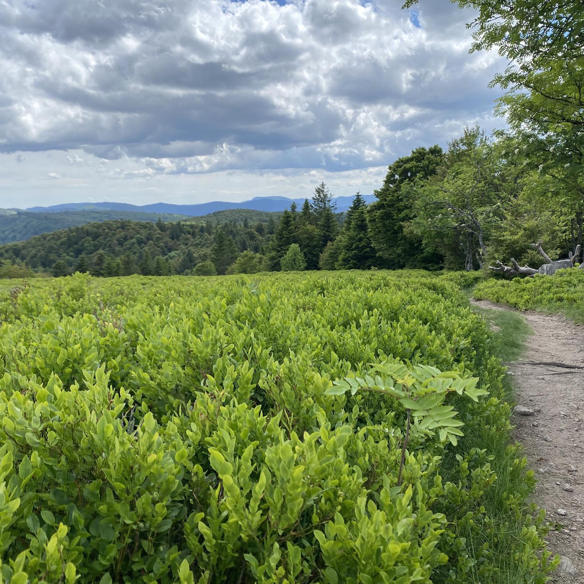
Road Cycling Routes around Réserve Naturelle du massif du Grand Ventron
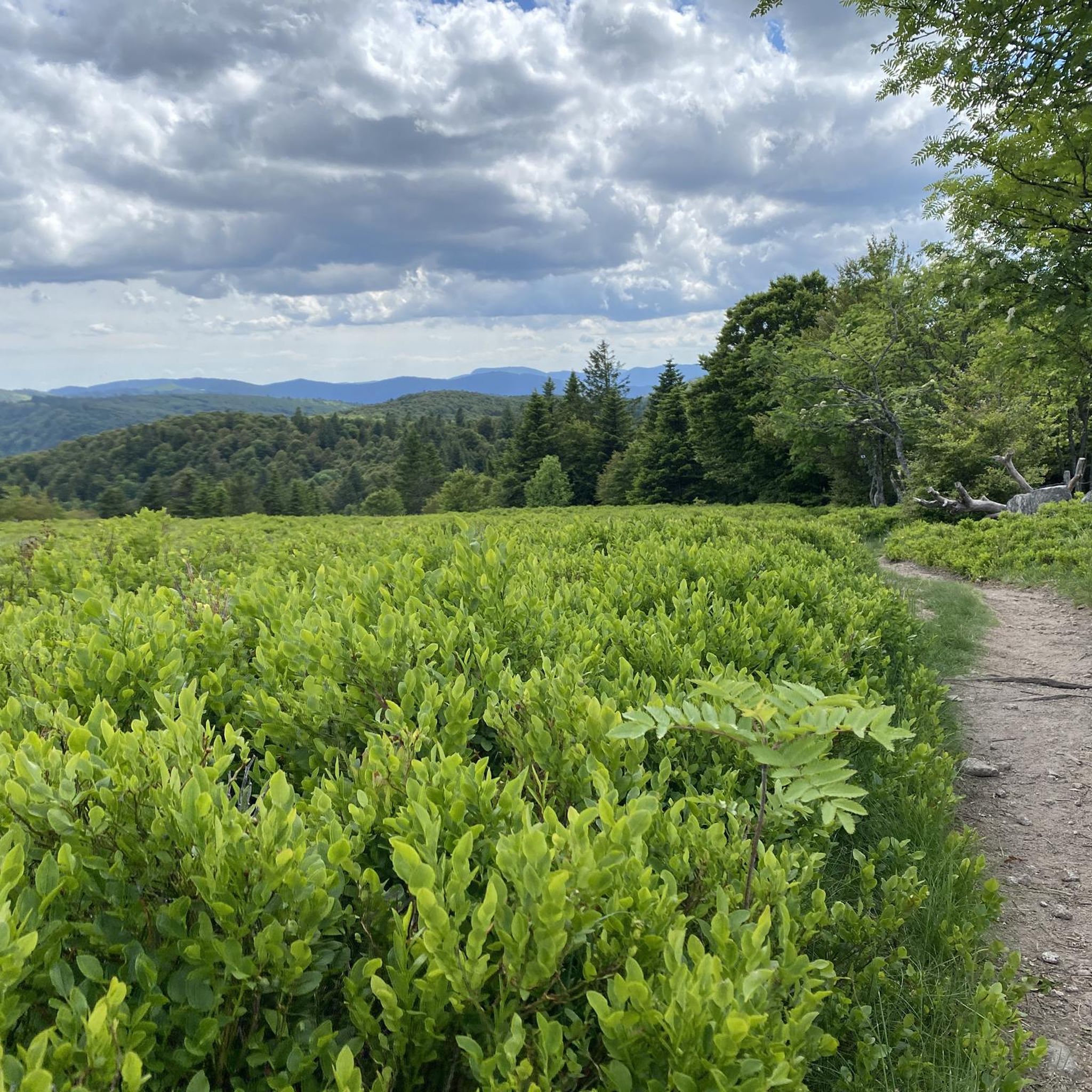
Cycling around Réserve Naturelle du massif du Grand Ventron
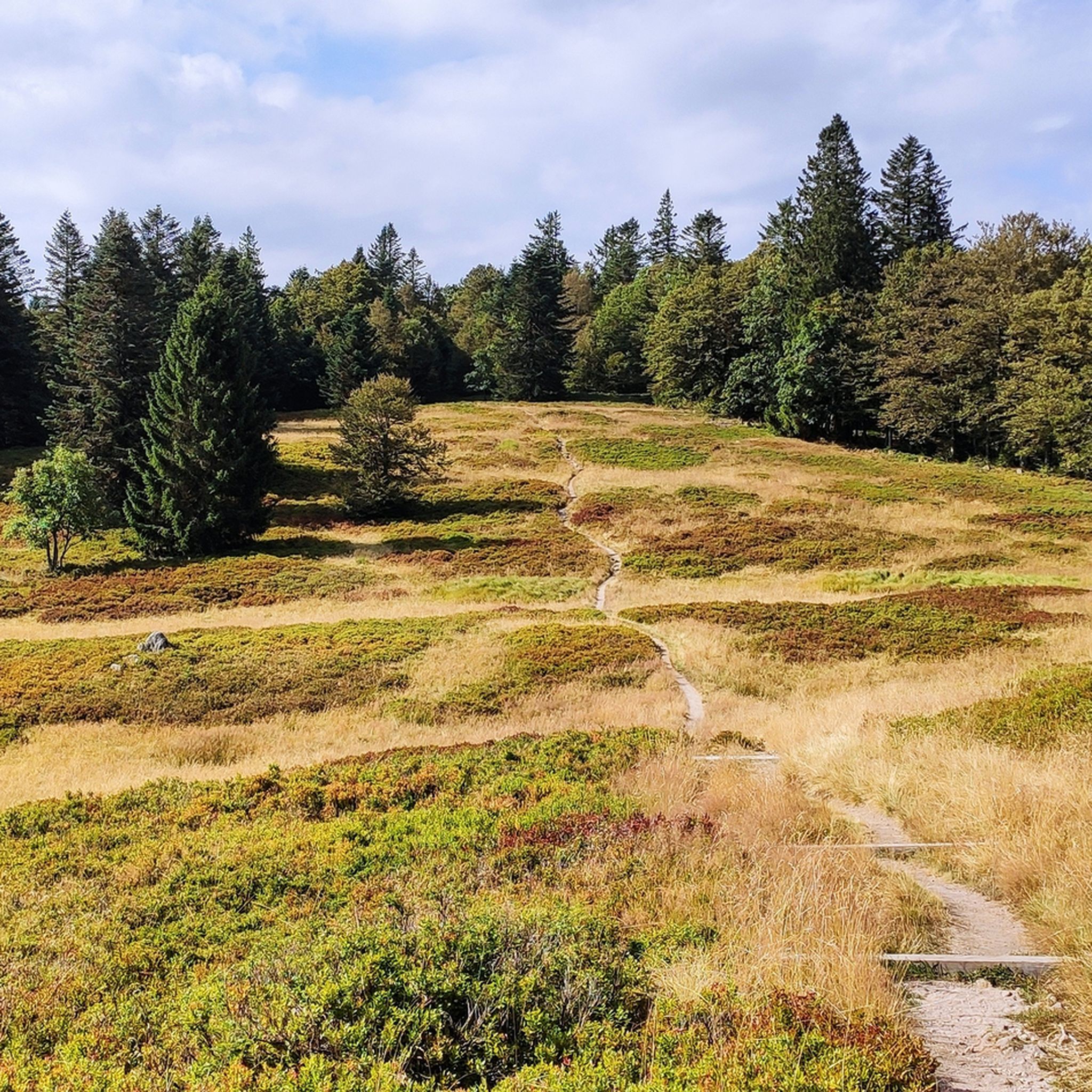
Hiking around Réserve Naturelle du massif du Grand Ventron
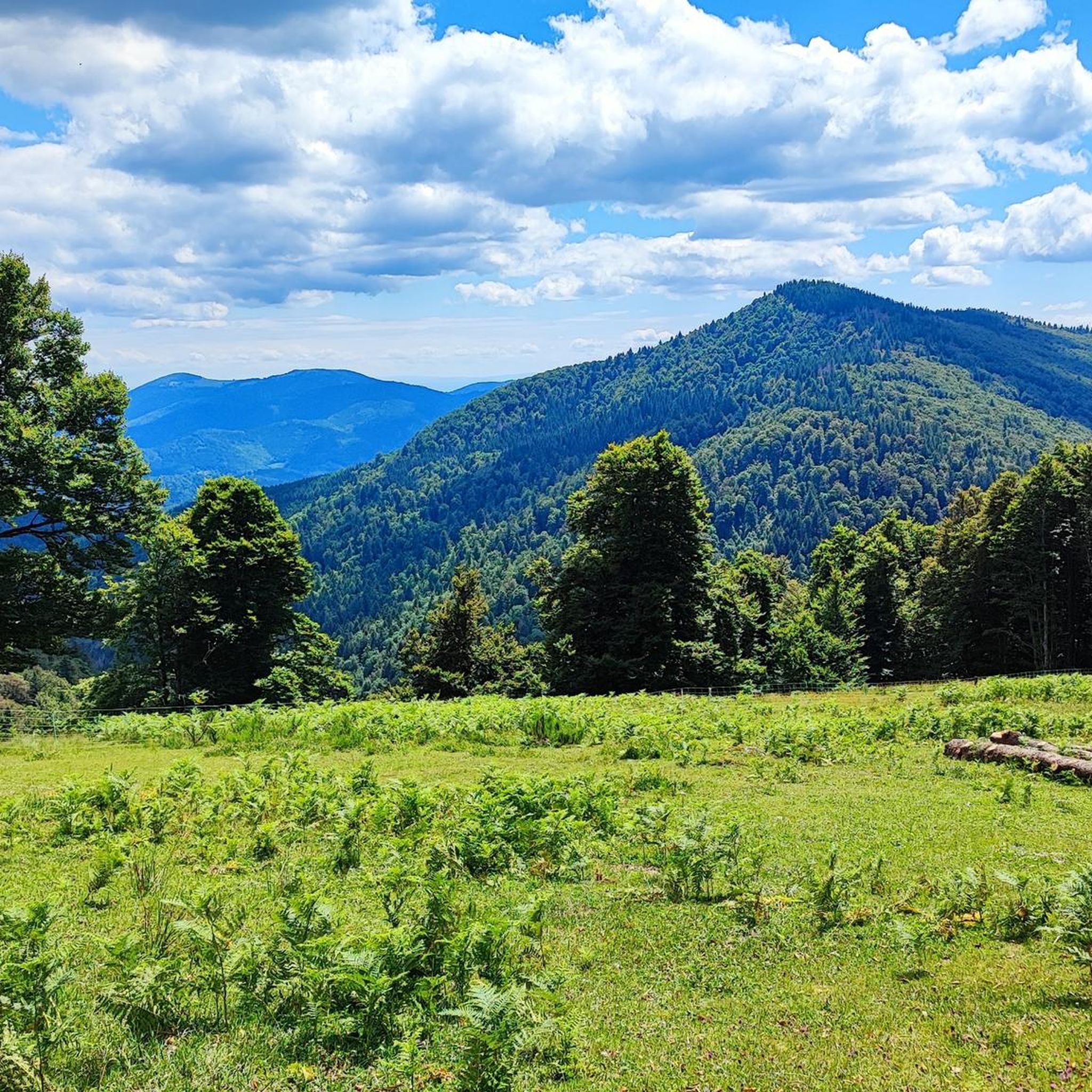
Running Trails around Réserve Naturelle du massif du Grand Ventron

Gravel biking around Réserve Naturelle du massif du Grand Ventron

Mountain Hikes around Réserve Naturelle du massif du Grand Ventron
Tips from the Community

Stuwdam Lac de Kruth‑Wildenstein View over the quiet mountain lake on one side, and on the other side the steep, wooded rock face of the Thur valley.
8
0
The Cascade du Bockloch is an atmospheric waterfall in Alsace (Haut-Rhin department), located on the wooded northeastern bank (right bank) of the Kruth-Wildenstein Lake. The waterfall is fed by the Hinterbockloch mountain stream, which originates on the slopes of the nearby Grand Ventron massif. Water plunges here via an abrupt, steep rock face about 12 meters down into a small, photogenic basin, just before it flows into the reservoir.
7
0

The Sèchemer pond is a small pond that you will find 40 minutes walk from the Lac des Corbeaux. It is possible to get there on foot or by mountain bike. Peaceful and quiet, you can stop there for a picnic and to admire the many dragonflies.
1
0

The Saint-Nicolas Chapel is located on the departmental road D13B1 to the Col d'Oderen, in the municipality of Kruth. The current chapel building dates from the early 19th century and replaced one located slightly higher up. Very nearby was the hut of a hermit, who served as the keeper of the chapel.
0
0

The Kruth-Wildenstein lake is a reservoir in the Vosges mountains, created by a dam on the Thur river. It serves for flood protection, water regulation, and energy production. Today, the lake is a popular destination for hiking, fishing, swimming, and water sports in a charming natural setting.
0
0
The Lac de Kruth-Wildenstein is a reservoir in the Vosges, created by a dam on the Thur river. It serves for flood protection, water regulation, and energy production. Today, the lake is a popular destination for hiking, fishing, swimming, and water sports in a charming natural setting.
0
0

Beautiful little lake. Beautifully idyllic.
3
0

A truly magical, serene place. The rain made it a bit ominous.
3
0
Frequently Asked Questions
How many mountain bike trails are available in Réserve Naturelle du massif du Grand Ventron?
There are over 300 mountain bike trails in the Réserve Naturelle du massif du Grand Ventron, offering a wide range of options for different skill levels.
What are the difficulty levels of mountain bike trails in Réserve Naturelle du massif du Grand Ventron?
The trails range from easy to difficult. You'll find 38 easy routes, 131 moderate routes, and 155 difficult routes, ensuring options for all experience levels.
Are there any family-friendly mountain bike trails in the area?
While many trails feature significant elevation changes, there are 38 easy routes suitable for families or those looking for a less strenuous ride. These often follow forest roads or less technical paths.
Can I find advanced mountain biking routes in Réserve Naturelle du massif du Grand Ventron?
Yes, the region offers 155 difficult mountain biking routes. These often include challenging climbs and technical descents, such as the Little Drumont Summit – La Bouloie Summit and Cabin loop from Col d'Oderen, which covers 30.4 km with significant elevation gain.
Are there mountain bike trails that feature waterfalls or lakes?
Absolutely. Many routes showcase the region's natural beauty, including waterfalls and mountain lakes. For example, the difficult Bockloch Waterfall – Lac de Kruth, view from the north loop from Kruth offers views of Bockloch Waterfall and Lac de Kruth.
Are there any circular mountain bike routes in the Réserve Naturelle du massif du Grand Ventron?
Yes, many of the trails are designed as loops. A popular option is the Lake Kruth-Wildenstein – Kruth Dam loop from Lac de Kruth-Wildenstein, a 16.2 km route that explores the area around Lake Kruth-Wildenstein.
What kind of terrain can I expect on the mountain bike trails?
You can expect a diverse landscape with dense forests, significant elevation changes, and a mix of natural paths and forest roads. The topography includes summits and valleys, providing varied riding experiences.
What do other mountain bikers enjoy the most about mountain biking in Réserve Naturelle du massif du Grand Ventron?
The area is highly rated by the komoot community, with an average score of 4.5 stars from over 1000 reviews. Reviewers often praise the diverse landscape, challenging climbs, and scenic mountain lakes.
What are some notable landmarks or attractions I might encounter on the trails?
Along the trails, you might pass several mountain passes and summits. Notable highlights include the Grand Ventron Summit, Col du Bramont (Southwest), and Oderen Pass. You could also explore the unique Pourri Faing Boardwalk and Tundra Meadow.
Are there any moderate mountain bike trails suitable for intermediate riders?
Yes, there are 131 moderate routes available. An example is the Lake Kruth-Wildenstein – Kruth Dam loop from Kruth, which is 13.4 km long and offers a balanced challenge for intermediate riders.
What is the typical duration for a mountain bike ride in the region?
Ride durations vary significantly based on the trail's length and difficulty. For instance, a difficult route like the Little Drumont Summit – La Bouloie Summit and Cabin loop from Col d'Oderen can take around 3 hours 51 minutes, while shorter loops might be completed in about 1 hour 24 minutes.
Most popular routes around Réserve Naturelle du massif du Grand Ventron
Most popular attractions around Réserve Naturelle du massif du Grand Ventron

Get inspired with the komoot mobile app


Explore more
Browse the best MTB trails in other regions.
