The best walks and hikes around Réserve Naturelle du massif du Grand Ventron
4.5
(18417)
97,929
hikers
49
hikes
Hiking around Réserve Naturelle du massif du Grand Ventron offers diverse landscapes within the Vosges Mountains, with altitudes ranging from 720 to 1,204 meters. The region is characterized by extensive forests, including mixed, deciduous, and coniferous types, alongside unique peat bogs and moorlands. Along the ridges, mountain pastures provide open spaces, while the Alsatian slopes feature rocky scree and granite cliffs. These varied terrains create a rich environment for outdoor activities.
Best hiking trails around Réserve Naturelle du massif du…
Last updated: October 2, 2026
4.8
(51)
377
hikers
Hard hike. Very good fitness required. Sure-footedness, sturdy shoes and alpine experience required.
4.6
(28)
164
hikers
13.2km
04:12
470m
470m
Moderate hike. Good fitness required. Mostly accessible paths. Sure-footedness required.

4.9
(19)
76
hikers
Easy hike. Great for any fitness level. Easily-accessible paths. Suitable for all skill levels.
4.5
(34)
157
hikers
7.31km
02:39
360m
360m
Moderate hike. Good fitness required. Mostly accessible paths. Sure-footedness required.
4.6
(14)
111
hikers
6.14km
02:02
260m
260m
Moderate hike. Good fitness required. Mostly accessible paths. Sure-footedness required.
Get access to more routes and recommendations from other explorers.
Already have an account?
Our route recommendations are based on thousands of hikes, rides, and runs completed by other people on komoot.
Start today with a free account
Your next adventure awaits.
Popular around Réserve Naturelle du massif du Grand Ventron
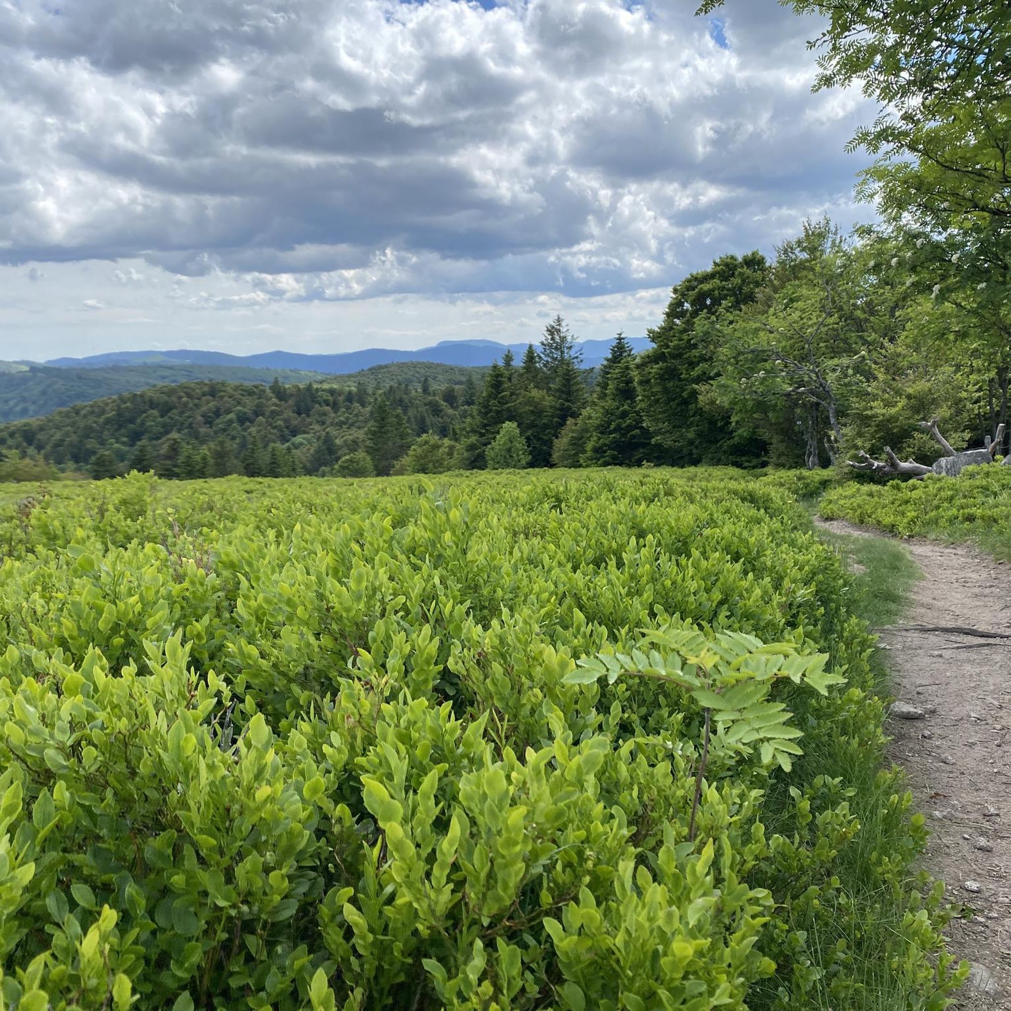
Road Cycling Routes around Réserve Naturelle du massif du Grand Ventron
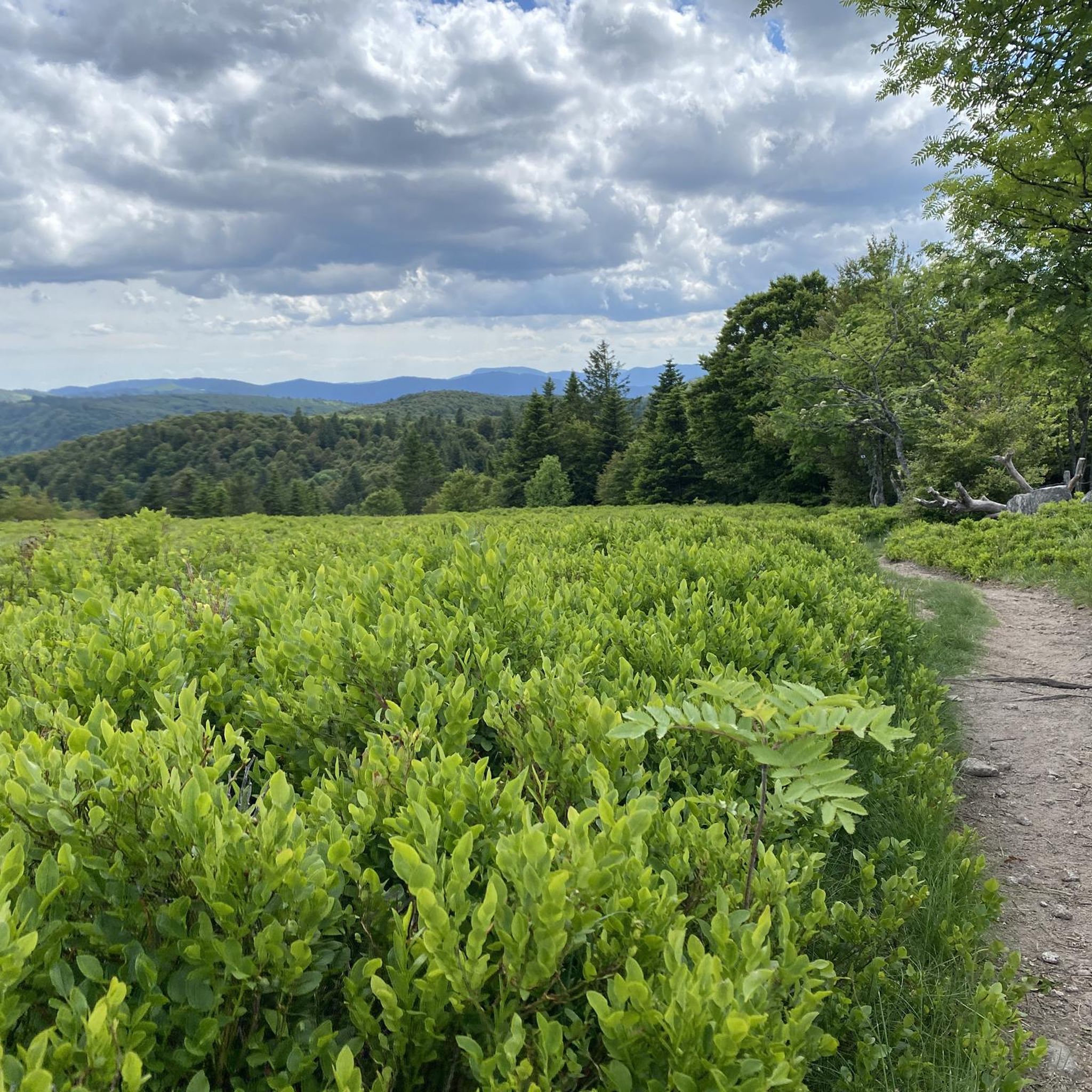
Cycling around Réserve Naturelle du massif du Grand Ventron
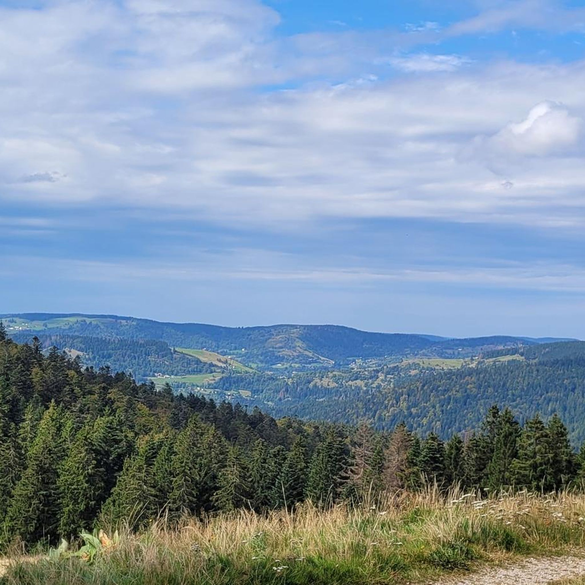
MTB Trails around Réserve Naturelle du massif du Grand Ventron
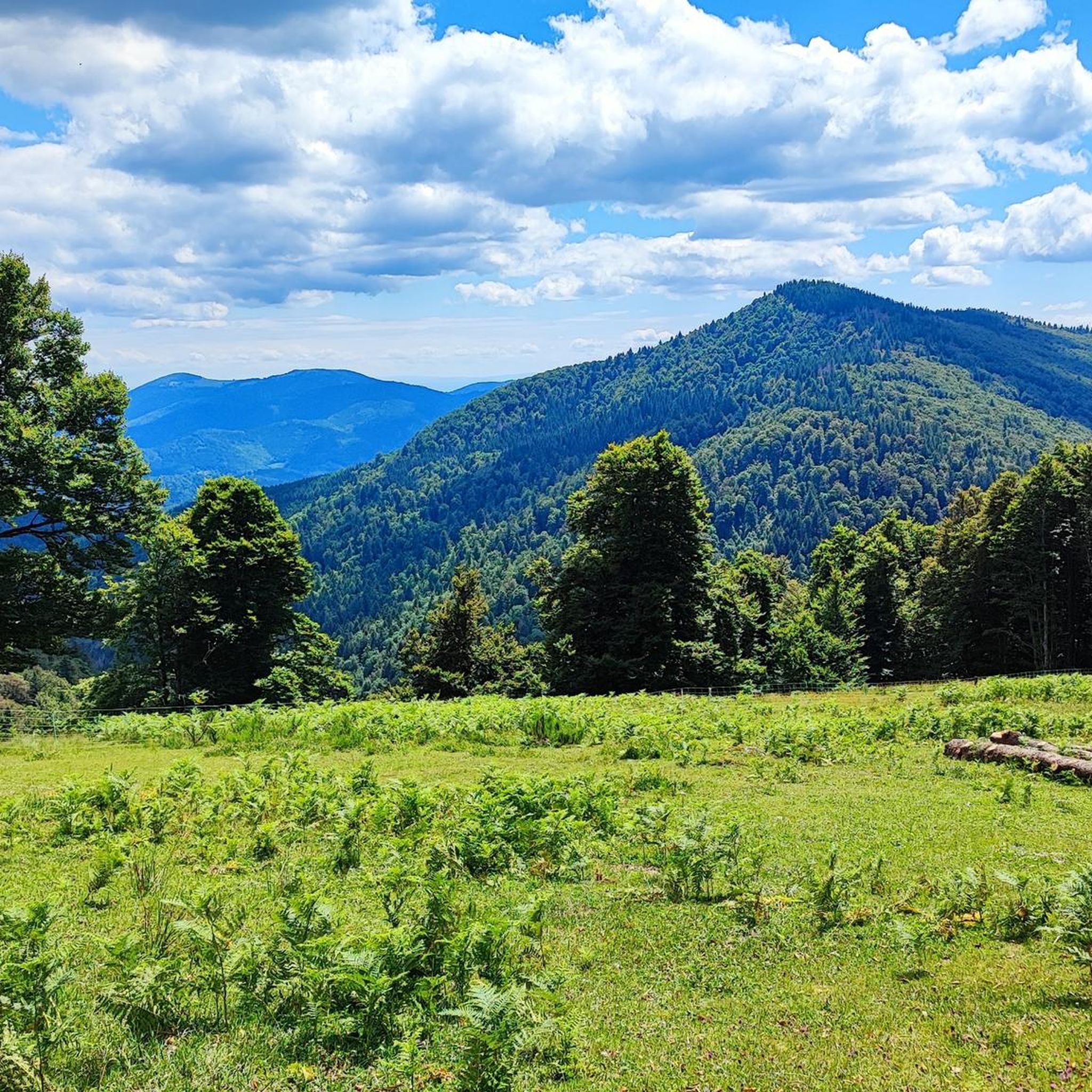
Running Trails around Réserve Naturelle du massif du Grand Ventron

Gravel biking around Réserve Naturelle du massif du Grand Ventron

Mountain Hikes around Réserve Naturelle du massif du Grand Ventron
Tips from the Community

There are no restaurants or cafes at the summit of the Col de Bramont itself. However, the pass serves as a strategic junction. From the summit, you can directly connect to the famous Route des Crêtes (the D431), which links the main mountain peaks of the Vosges. This allows you to easily cycle or hike to larger attractions nearby, such as the Col de la Schlucht, the Hohneck, or the Grand Ballon. The climb is enjoyable due to its 12 hairpin bends on the southern flank (Kruth).
7
0
The Col d' Oderen is an 8.2 kilometer climb. This is a category 3 climb. It is located in Cornimont, Lorraine, France. The average gradient of this climb is 3.9% with a maximum of 6%. The Col d' Oderen rises from 573 meters at the start to 885 meters at the top, with a total of 312 meters of elevation gain.
7
0

Brilliant ascent to the pass relatively quiet with a pleasant gradient
4
0

The Sèchemer pond is a small pond that you will find 40 minutes walk from the Lac des Corbeaux. It is possible to get there on foot or by mountain bike. Peaceful and quiet, you can stop there for a picnic and to admire the many dragonflies.
1
0
This is the starting point for many hikes.
3
1
To get there, the trail is a bit steep.
0
0
The place is superb. Its colors change in every season of the year.
0
0
Frequently Asked Questions
What types of hiking trails can I find in Réserve Naturelle du massif du Grand Ventron?
The Réserve Naturelle du massif du Grand Ventron offers a diverse network of trails. You'll find routes through extensive forests, including mixed, deciduous, and coniferous types. There are also unique peat bogs and moorlands, mountain pastures along the ridges, and rocky scree and granite cliffs on the Alsatian slopes. The trails cater to various preferences, from easy walks to more challenging ascents.
How many hiking trails are available in the Réserve Naturelle du massif du Grand Ventron?
There are over 45 hiking trails available in the Réserve Naturelle du massif du Grand Ventron. These include 10 easy routes, 25 moderate routes, and 13 difficult routes, ensuring options for all skill levels.
Are there any family-friendly hiking options in the reserve?
Yes, the reserve offers several family-friendly hiking options. For example, The Grand Ventron – Grand Ventron Summit loop from Réserve naturelle du massif du Ventron is an easy 3.7-mile (5.9 km) trail that leads through forested areas to the summit, suitable for a shorter outing.
What kind of terrain should I expect on the trails?
Hikers can expect varied terrain, from well-trodden paths through dense forests to more rugged sections across rocky scree and mountain pastures. Some trails, particularly those leading to summits, will involve significant elevation changes. Appropriate hiking footwear is highly recommended.
What natural features or landmarks can I see while hiking?
The reserve is rich in natural beauty. You can explore diverse forests, unique peat bogs, and open mountain pastures. Notable landmarks include the Grand Ventron Summit, which offers extensive panoramic views, and various mountain passes like Oderen Pass and Col du Bramont.
Are there many circular hiking routes available?
Yes, many of the trails in the Réserve Naturelle du massif du Grand Ventron are designed as loops, allowing you to start and end at the same point. Examples include the Roche du Lac – Col de Bramont loop and the Grand Ventron Summit – Wild Cat Head loop.
What is the best time of year to visit for hiking?
The reserve is beautiful throughout the year, but the best time for hiking generally spans from spring to autumn. During these seasons, the weather is more predictable, and the trails are typically clear of snow. Always check local weather forecasts, as mountain conditions can change rapidly.
Can I bring my dog on the trails?
While the reserve encourages enjoying nature, regulations are in place to protect wildlife, especially during sensitive periods (December 1st to June 30th). It's advisable to keep dogs on a leash and check specific trail rules or local signage regarding pet access to ensure minimal disturbance to the natural environment.
What do other hikers enjoy the most about hiking in Réserve Naturelle du massif du Grand Ventron?
The area is highly rated by the komoot community, with an average score of 4.5 stars from over 5000 reviews. Hikers often praise the diverse landscapes, the tranquility of the site, and the extensive network of well-maintained trails that offer stunning panoramic views, particularly from the Grand Ventron summit.
Is parking available near the trailheads?
Yes, parking is generally available at common starting points for trails, such as near Col d'Oderen or other access points to the reserve. It's recommended to check specific route descriptions for detailed parking information for your chosen hike.
What wildlife might I encounter during my hike?
The reserve is home to rich biodiversity. You might spot various birds, including chaffinches, robins, and even montane species like the spotted nutcracker. Mammals such as deer, roe deer, chamois, wild boars, and foxes are also regularly observed. Keep an eye out for rare dragonflies and unique plant species in the peat bogs.
Are there any challenging hikes for experienced trekkers?
Yes, the reserve offers several challenging routes. The Roche du Lac – Col de Bramont loop is a difficult 9.5-mile (15.3 km) trail with significant elevation gain, exploring diverse forest and mountain terrain, perfect for experienced hikers.
Most popular routes around Réserve Naturelle du massif du Grand Ventron
Most popular attractions around Réserve Naturelle du massif du Grand Ventron

Get inspired with the komoot mobile app


Explore more
Browse the best Hikes in other regions.
