The best cycling routes around Réserve naturelle des Aiguilles rouges
4.4
(325)
8,987
riders
74
rides
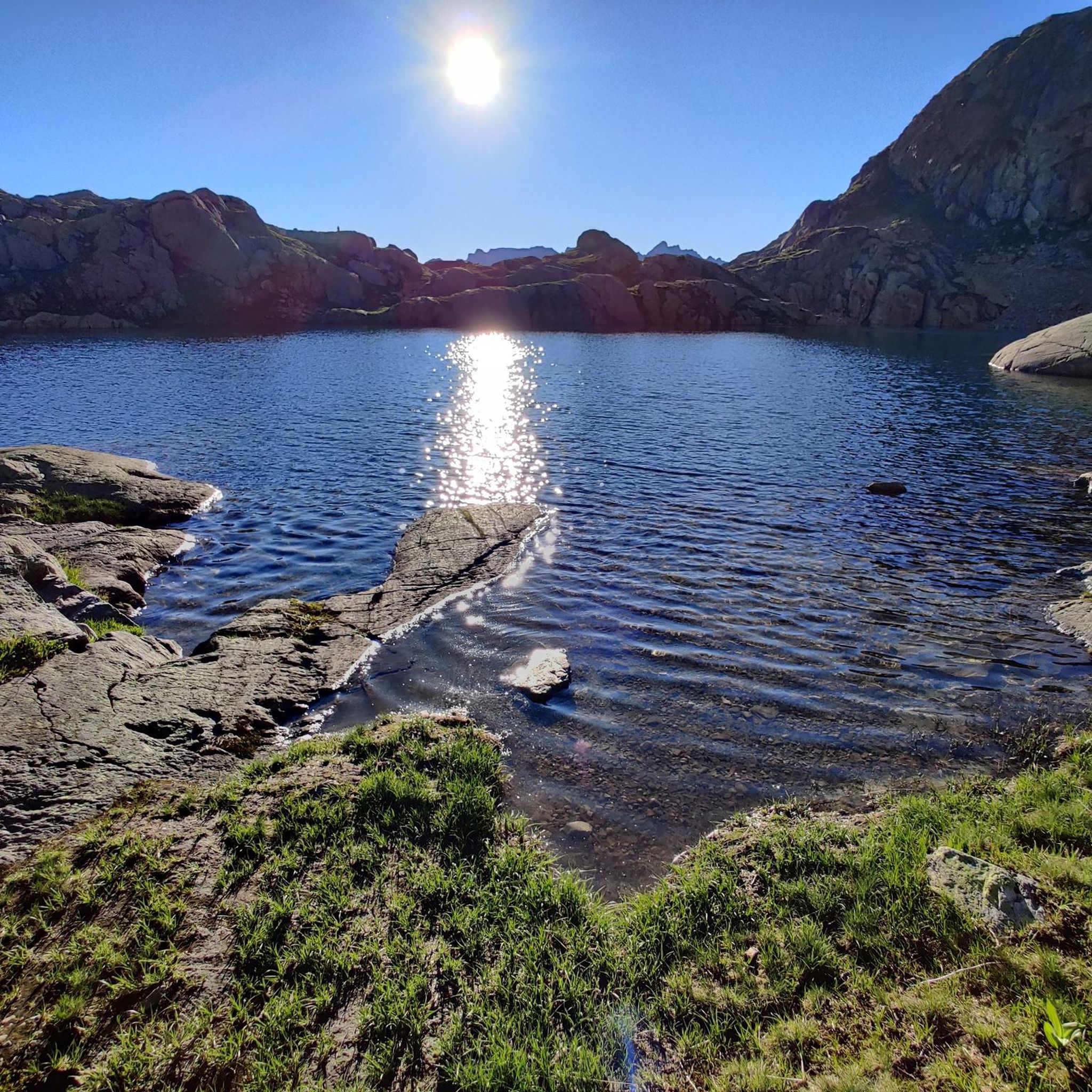
Touring cycling around Réserve naturelle des Aiguilles rouges navigates a mountainous landscape characterized by high alpine passes, deep valleys, and coniferous forests. The region features significant elevation changes, with routes often climbing to scenic viewpoints and descending through varied terrain. Glacial features and rock formations are common, providing a distinct backdrop for touring cyclists, alongside numerous alpine lakes and views of the Mont Blanc massif.
Best touring cycling routes around Réserve naturelle des Aiguilles rouges
- The most popular touring cycling…
Last updated: October 7, 2026
4.6
(7)
240
riders
61.7km
05:13
2,070m
2,070m
Hard bike ride. Very good fitness required. Mostly paved surfaces. Suitable for all skill levels.
4.7
(3)
69
riders
129km
09:51
3,200m
3,200m
Hard bike ride. Very good fitness required. Mostly paved surfaces. Suitable for all skill levels.

9
riders
8.81km
00:43
130m
140m
Easy bike ride. Great for any fitness level. Mostly paved surfaces. Suitable for all skill levels.
13
riders
8.87km
00:50
210m
210m
Moderate bike ride. Good fitness required. Mostly paved surfaces. Suitable for all skill levels.
4.6
(35)
821
riders
33.5km
02:16
500m
500m
Hard bike ride. Very good fitness required. Mostly paved surfaces. Suitable for all skill levels.
Get access to more routes and recommendations from other explorers.
Already have an account?
Our route recommendations are based on thousands of hikes, rides, and runs completed by other people on komoot.
Start today with a free account
Your next adventure awaits.
Popular around Réserve naturelle des Aiguilles rouges

Hiking to the summits – France's highest points

Hike from Savoie to Vanoise – Hexatrek in France’s Northern Alps
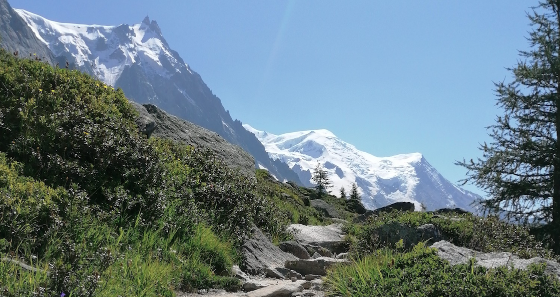
Running on ridges — 10 unforgettable trails near Chamonix
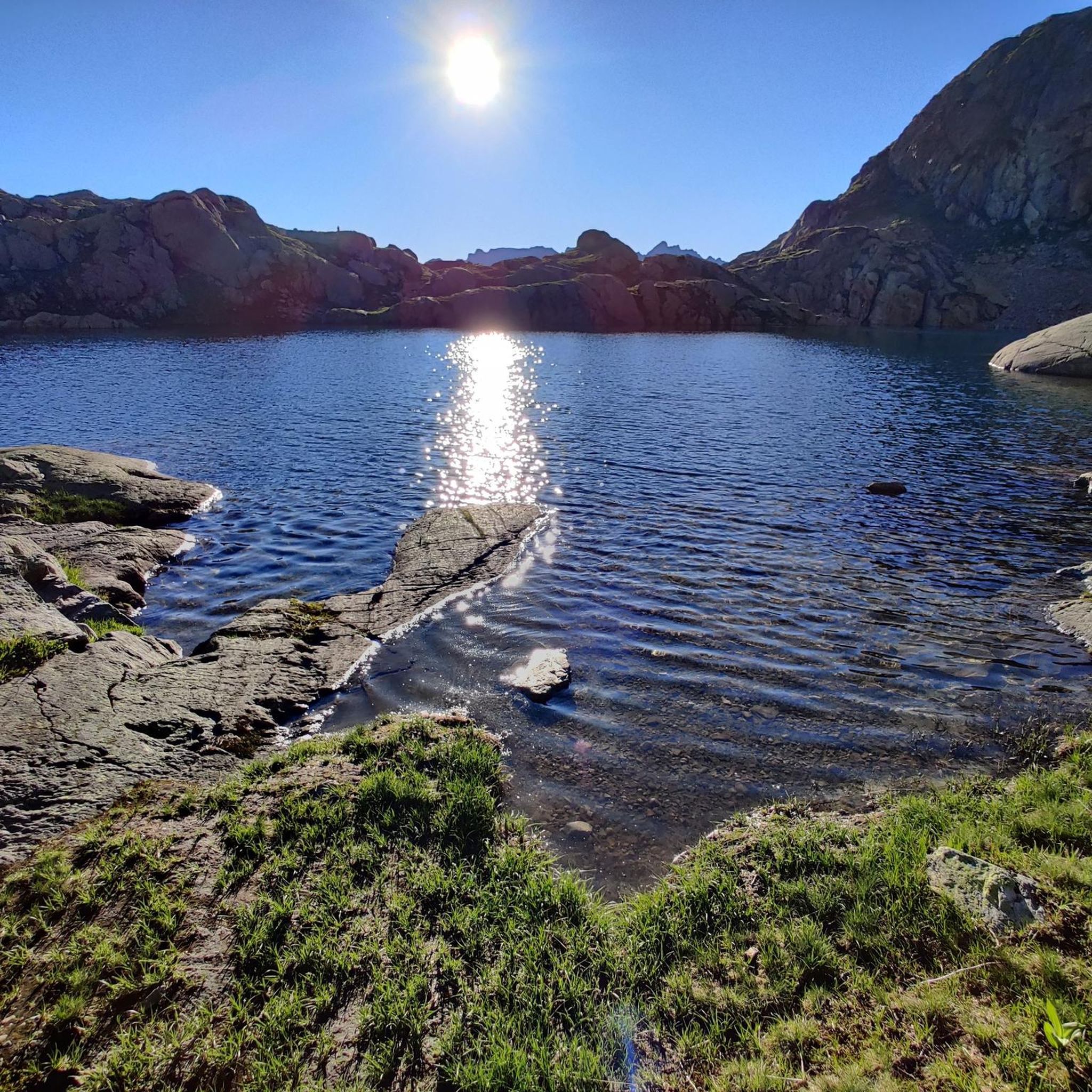
MTB Trails around Réserve naturelle des Aiguilles rouges
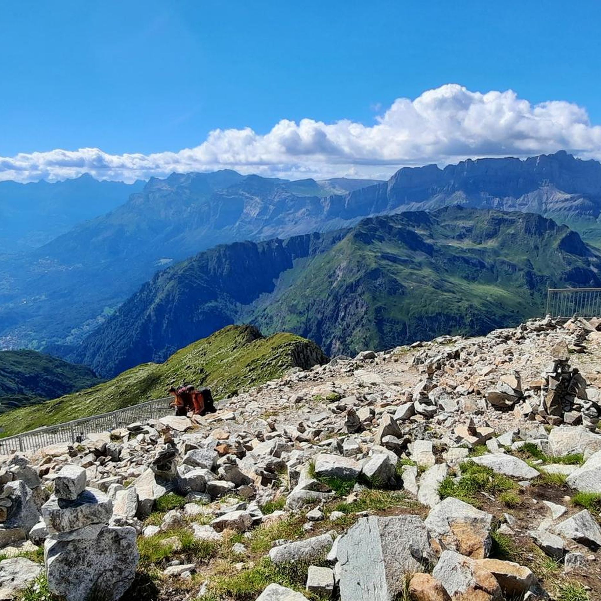
Running Trails around Réserve naturelle des Aiguilles rouges
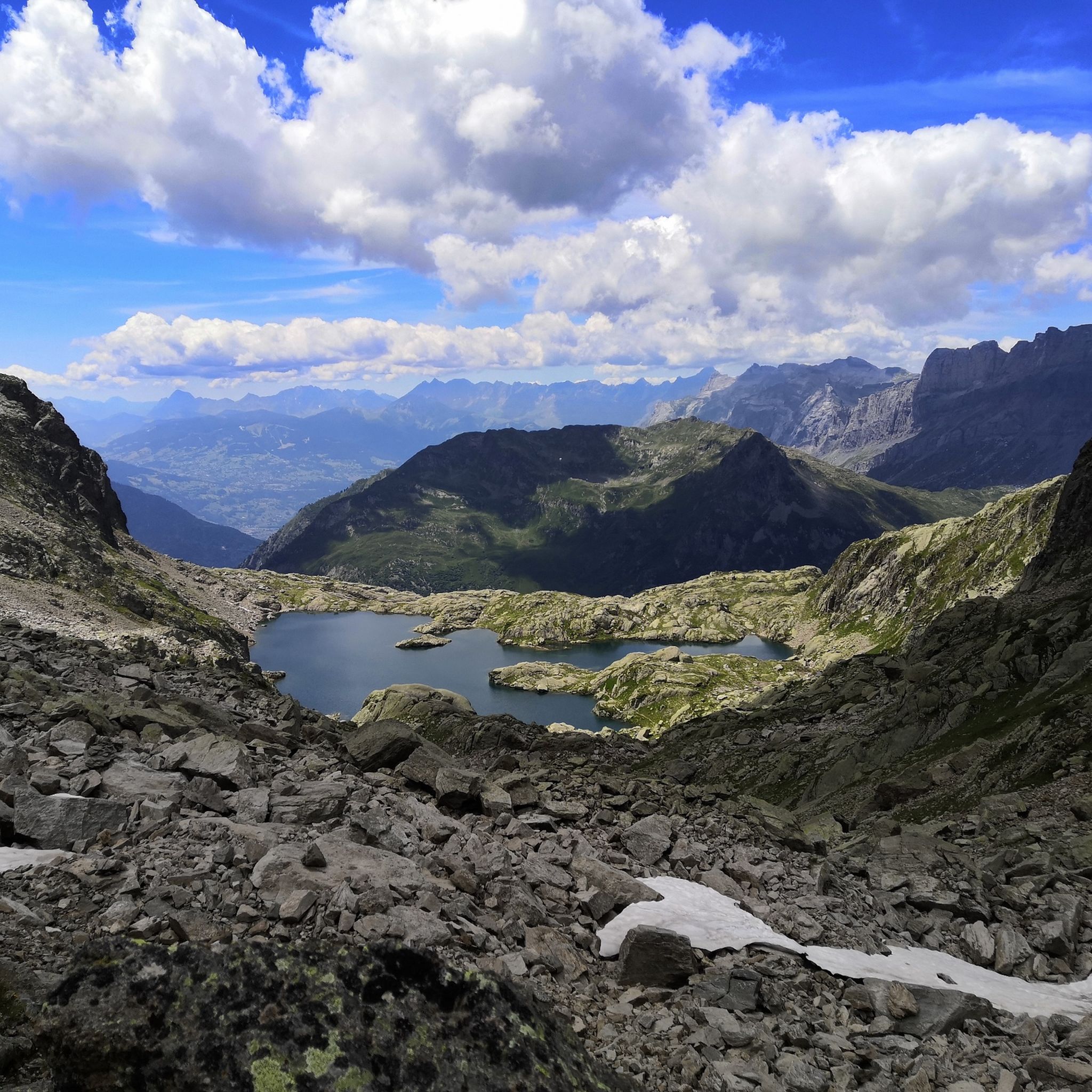
Hiking around Réserve naturelle des Aiguilles rouges
Road Cycling Routes around Réserve naturelle des Aiguilles rouges

Mountain Hikes around Réserve naturelle des Aiguilles rouges

Gravel biking around Réserve naturelle des Aiguilles rouges
Other adventures around Réserve naturelle des Aiguilles rouges


Tips from the Community


Argentière is a village located at an altitude of 1,250 meters. In winter, it is a lively ski resort.
0
0

Unique site in France with a succession of exceptional visuals.
1
0

Martigny, with its Roman name Octodure, is on the gateway from Italy to the capital of Helvetia, Aventicum (Avenche). Martigny is a magnificent town, a blend of southern and Alpine landscapes. A must-see: the Place Centrale!
1
0


Charming passage in the old town of Martigny
1
0
Frequently Asked Questions
How many touring cycling routes are available in Réserve naturelle des Aiguilles rouges?
There are nearly 100 touring cycling routes in Réserve naturelle des Aiguilles rouges, offering a wide range of options for exploring the mountainous landscape.
Are there easy touring cycling routes suitable for beginners in Réserve naturelle des Aiguilles rouges?
Yes, Réserve naturelle des Aiguilles rouges offers over 30 easy touring cycling routes. These routes typically feature less challenging terrain and elevation changes, making them ideal for beginners or those seeking a more relaxed ride.
What kind of terrain can I expect on touring cycling routes in Réserve naturelle des Aiguilles rouges?
The routes navigate a mountainous landscape characterized by high alpine passes, deep valleys, and coniferous forests. You can expect significant elevation changes, with climbs to scenic viewpoints and descents through varied terrain, often featuring glacial formations and rock features.
Are there any family-friendly touring cycling routes in the Réserve naturelle des Aiguilles rouges area?
While many routes involve significant climbs, there are options suitable for families. Look for routes categorized as 'easy' or 'moderate' which tend to have more manageable distances and elevation profiles. For example, the Col des Montets loop from Le Buet is a moderate 6.3-mile (10.2 km) trail that can be completed in under an hour, offering a good option for a shorter family outing.
What are some challenging touring cycling routes for experienced riders?
For experienced touring cyclists, Réserve naturelle des Aiguilles rouges offers over 35 difficult routes. A particularly challenging option is the Col des Montets – View of Bosson glacier loop from Le Buet, which spans over 80 miles (129.5 km) with significant elevation gain, providing a demanding alpine experience.
Are there circular touring cycling routes available?
Yes, many touring cycling routes in Réserve naturelle des Aiguilles rouges are designed as loops. For instance, the Col des Montets – Col de la Forclaz (Valais) loop from Argentière is a popular 40.4-mile (65.0 km) circular route offering panoramic alpine views.
What are some notable natural attractions or viewpoints along the touring cycling routes?
The region is rich in natural beauty. You might encounter stunning views of Mont Blanc from Le Brévent, or pass by beautiful alpine lakes such as Lac Blanc and Lacs des Chéserys. Mountain passes like Montets Pass also offer spectacular vistas.
What do other touring cyclists enjoy most about cycling in Réserve naturelle des Aiguilles rouges?
The area is highly rated by the komoot community, with an average score of 4.5 stars from over 200 reviews. Reviewers often praise the challenging mountain passes, scenic valley roads, and the distinct backdrop of glacial features and rock formations that define the region.
What is the best time of year for touring cycling in Réserve naturelle des Aiguilles rouges?
The best time for touring cycling is typically from late spring to early autumn (June to September) when the alpine passes are clear of snow and the weather is most favorable. Always check local conditions and forecasts before heading out, especially for higher elevation routes.
Are there any routes that offer views of glaciers?
Yes, some routes provide views of the region's impressive glaciers. For example, the Col des Montets – View of Bosson glacier loop from Le Buet specifically highlights a view of the Bosson glacier, offering a spectacular natural spectacle.
Are there any moderate touring cycling routes in the area?
Yes, there are nearly 30 moderate touring cycling routes available. These routes strike a balance between challenge and accessibility, often featuring manageable climbs and rewarding views. An example is the Col des Montets loop from Le Buet, which is a moderate 6.3-mile (10.2 km) trail.
What kind of wildlife might I encounter while touring cycling in Réserve naturelle des Aiguilles rouges?
As a natural reserve, the area is home to diverse alpine wildlife. While cycling, you might spot chamois, ibex, marmots, and various bird species, including eagles. Maintaining a respectful distance and observing from afar is always recommended.
Most popular routes around Réserve naturelle des Aiguilles rouges
Most popular attractions around Réserve naturelle des Aiguilles rouges

Get inspired with the komoot mobile app


Explore more
Browse the best Cycling routes in other regions.
