Aire d'adhésion du Parc national du Mercantour
Aire d'adhésion du Parc national du Mercantour
The best running trails around Aire d'adhésion du Parc national du Mercantour
4.4
(54)
5,646
runners
389
runs
Jogging around Aire d'adhésion du Parc national du Mercantour offers a diverse range of running trails through a unique blend of Alpine and Mediterranean landscapes. The region features dramatic contrasts, from Mediterranean foothills to high Alpine summits, with varied terrain including tranquil forests, open meadows, and scenic valleys carved by rivers like La Tinée and Le Var. This extensive network of paths provides options for both gentle jogs and challenging trail running experiences.
Best jogging routes around Aire d'adhésion du Parc national du Mercantour
- The most popular jogging route is Lac Graveirette – round trip run in Mercantour National Park, a 7.7 miles (12.4 km) trail that takes 1 hour 50 minutes to complete. This route features significant elevation gain through mountainous terrain.
- Another top favourite among local runners is Sentiero Italia Cycle Route Loop, a difficult 9.7 miles (15.7 km) path. This route offers a challenging ascent through varied landscapes.
- Local runners also love the Siguret Lake and Cuguret Loop Trail, a 3.3 miles (5.3 km) trail leading through picturesque lake scenery, often completed in about 47 minutes.
- Jogging around Aire d'adhésion du Parc national du Mercantour is defined by high mountain passes, serene lakes, and deep river valleys. The extensive network of trails offers options for all ability levels, from easy jogs to challenging running routes.
- The routes in Aire d'adhésion du Parc national du Mercantour are highly rated by the komoot community with an average score of 4.4 stars from over 60 reviews. More than 6000 runners have used komoot to explore Aire d'adhésion du Parc national du Mercantour's varied terrain.
Last updated: May 11, 2026
9
runners
12.4km
01:50
590m
590m
Hard run. Very good fitness required. Mostly paved surfaces. Suitable for all skill levels.
1
runners
15.7km
02:21
820m
820m
Hard run. Very good fitness required. Sure-footedness, sturdy shoes and alpine experience required.

Sign up for free
3
runners
5.34km
00:47
200m
200m
Hard run. Good fitness required. Sure-footedness, sturdy shoes and alpine experience required.
Moderate run. Good fitness required. Mostly accessible paths. Some sure footedness required.
1.0
(1)
309
runners
29.5km
05:15
2,000m
2,000m
Hard run. Very good fitness required. Sure-footedness, sturdy shoes and alpine experience required.
Get access to more routes and recommendations from other explorers.
Sign up for free
Already have an account?
Our route recommendations are based on thousands of hikes, rides, and runs completed by other people on komoot.
Start today with a free account
Your next adventure awaits.
Login or Signup
Popular around Aire d'adhésion du Parc national du Mercantour
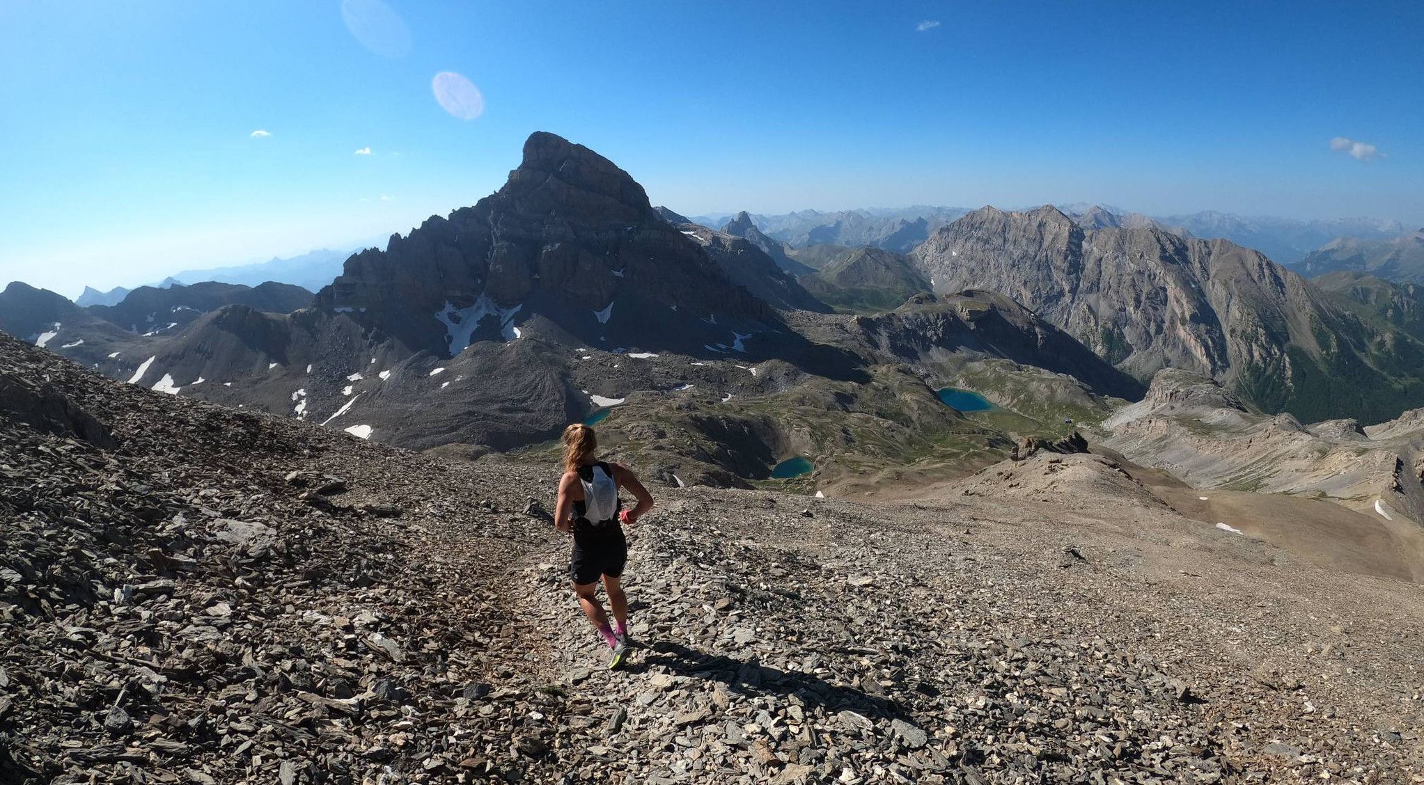
Trail running in the mountain peaks from Barcelonnette
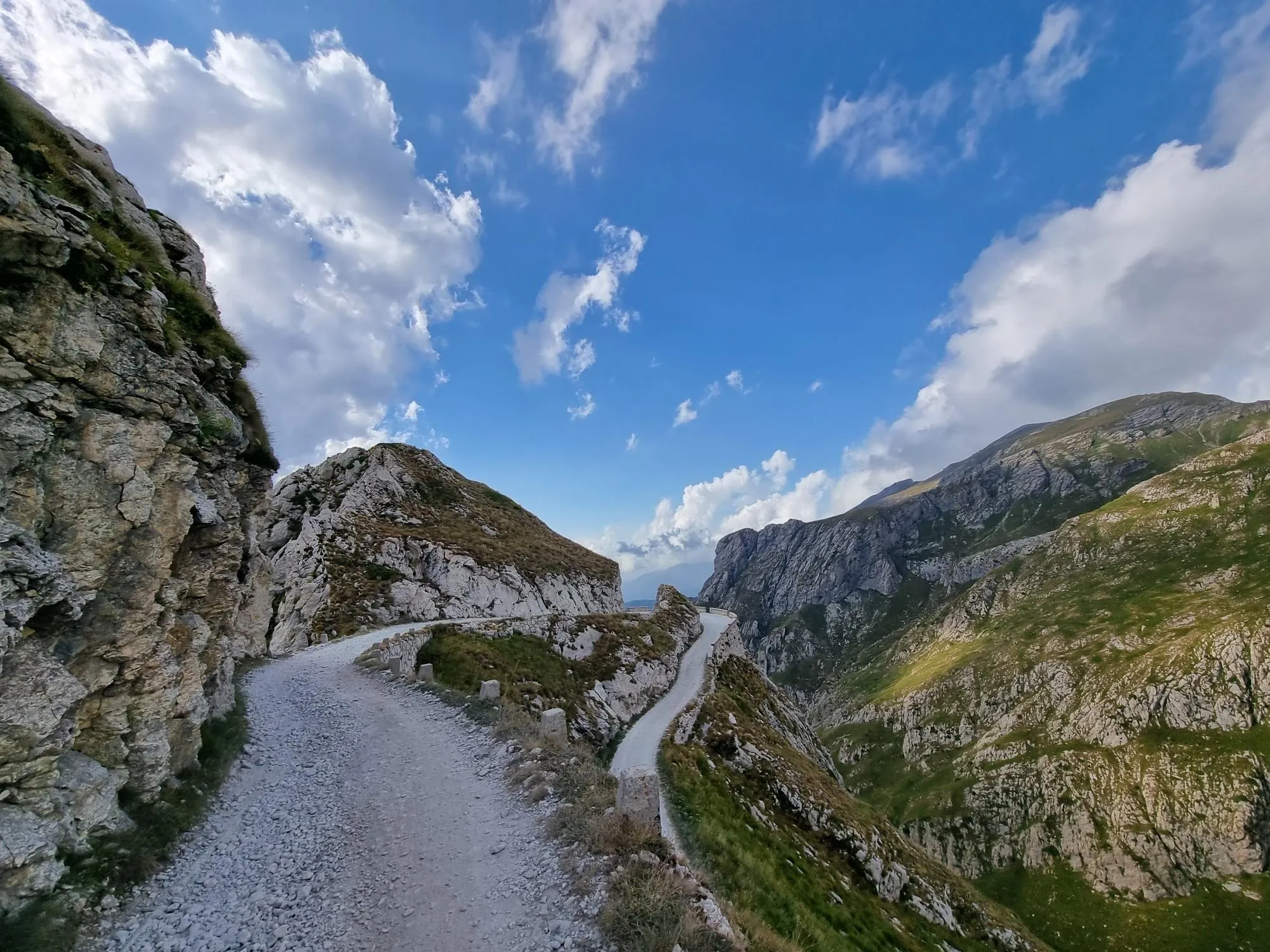
Hunting for white gold in the Mediterranean Alps – Alta Via del Sale

GR 5 – The Europe Trail from the Mediterranean to Germany

Transalps MTB – Chamonix to the Mediterranean Sea

Europe Trail (GR 5) – Hike from Nice to Saint-Étienne-de-Tinée
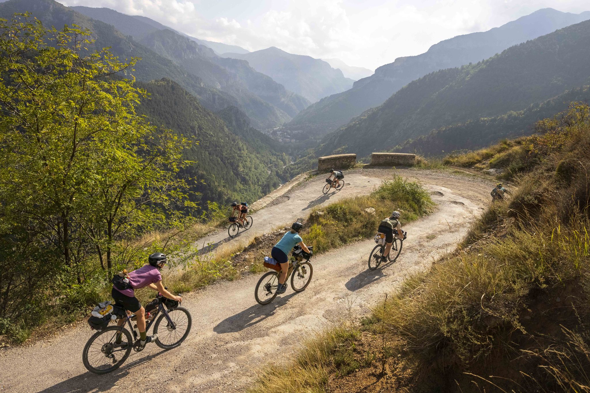
Lael's 2021 Komoot Women's Torino Nice Rally

The Komoot Torino-Nice Rally

Route des Grandes Alpes
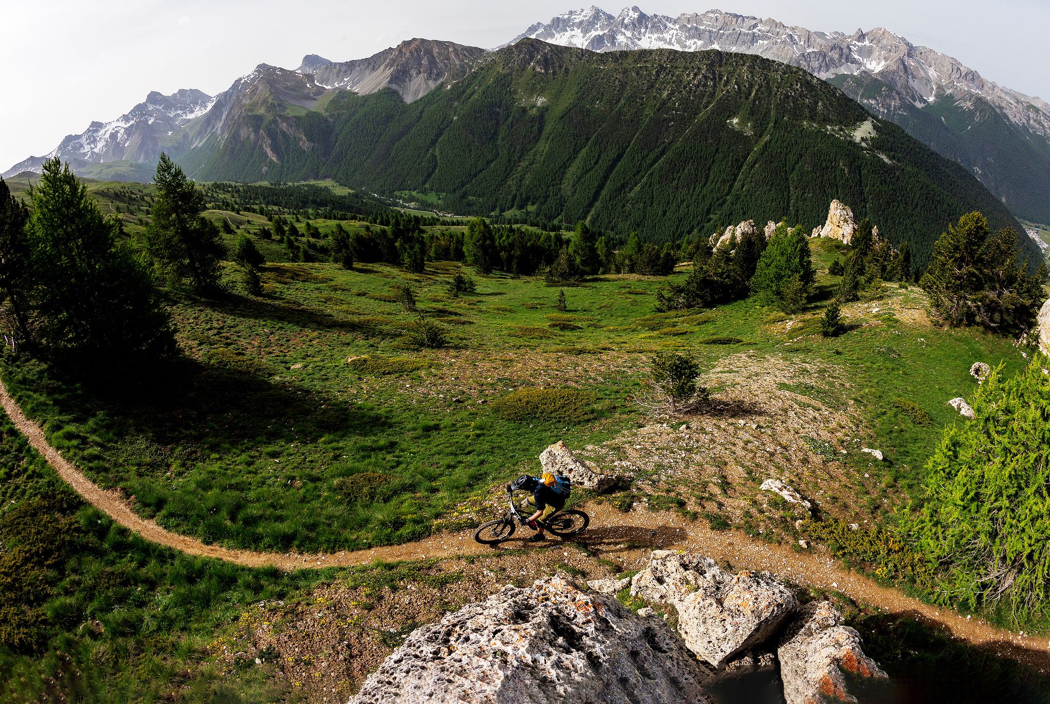
The STONE KING Route – adventure enduro from High Alps to the Med
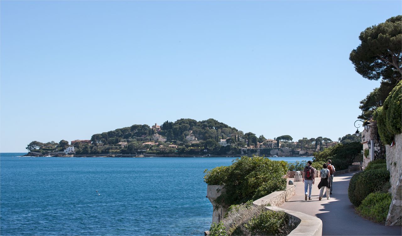
Côte d'Azur panoramas – hikes between land and sea around Nice
Other adventures around Aire d'adhésion du Parc national du Mercantour


Tips from the Community

The old forts from the wars against the French
0
0

Walking along the path we suddenly find ourselves in front of this small lake with emerald green waters.
0
0

The Col Saint-Martin Pass, or Col de la Colmiane, is a mountain pass in the Southern Alps located at an altitude of 1,500 meters in the Alpes-Maritimes department of France. It provides a year-round road link between the Tinée Valley to the west and the Vésubie Valley to the east.
0
0
The Col Saint-Martin Pass, or Col de la Colmiane, is a mountain pass in the Southern Alps located at an altitude of 1,500 meters in the Alpes-Maritimes department of France. It provides a year-round road link between the Tinée Valley to the west and the Vésubie Valley to the east.
0
0

In July during the week there was almost no traffic, making it a completely relaxed drive up.
0
0

It retains its charm...and deterrence to not fall back into it.
0
0

Valdeblore La Colmiane is a resort that offers families many activities: summer tobogganing, tree climbing, mini-golf, swimming pool, equestrian center, paragliding, trampoline, farm visit, hiking with pack donkeys, climbing, and Via Ferrata as well as 30 kilometers of ski slopes in winter. In winter as in summer, the resort offers a giant zip line (the longest in France) which flies safely over the resort and its lakes, at 130 km/h (maximum).
0
0

The Col Saint Martin is an alpine pass which connects the Vésubie valley to the Tinée valley. It peaks at 1,500 meters above sea level. Enjoy the spectacular panorama, with views of the mountains of the Mercantour national park and the Tinée and Vésubie valleys.
0
0
Frequently Asked Questions
How many running routes are available in the Aire d'adhésion du Parc national du Mercantour?
The Aire d'adhésion du Parc national du Mercantour offers a vast network of trails, with over 400 running routes available. These range from easy jogs to very challenging trail runs, ensuring options for all fitness levels. Specifically, you'll find 8 easy routes, 85 moderate routes, and 326 difficult routes.
Are there easy jogging routes suitable for beginners or a relaxed run?
Yes, for those seeking a gentler pace or just starting out, there are 8 easy running routes in the Aire d'adhésion du Parc national du Mercantour. These trails allow you to enjoy the stunning scenery without overly strenuous climbs. For a moderate option, consider the Pra-Loup to Clos du Serre - loop trail in the heart of Mercantour National Park, which offers a pleasant loop through varied terrain.
What kind of challenging running trails can I find in the Mercantour area?
The region is renowned for its challenging terrain, with 326 difficult running routes. These often feature significant elevation gains and cover diverse landscapes from Alpine peaks to deep river valleys. Routes like Lac Graveirette – round trip run in Mercantour National Park and Sentiero Italia Cycle Route Loop are popular choices for experienced trail runners looking for a demanding experience.
Are there any circular jogging routes in the Aire d'adhésion du Parc national du Mercantour?
Yes, many of the running routes in the Mercantour area are designed as loops, offering a convenient way to start and finish your run at the same point. A great example is the Siguret Lake and Cuguret Loop Trail, which takes you through picturesque lake scenery. Another challenging circular option is the Lac Long – Mount Pépoiri loop from Saint-Martin-Vésubie.
What natural attractions or landmarks can I see along the running routes?
The Mercantour region is rich in natural beauty. Along your runs, you might encounter stunning mountain passes like Col de la Lombarde or Old Saddles Pass, offering panoramic views. The landscape is also dotted with picturesque lakes such as Lac de Rabuons and Lac Long, and rivers like La Tinée and Le Var have carved out scenic valleys and occasional waterfalls, including the Cascade de la Lance. You can also find impressive summits like Monte Toraggio and Tête de la Sestrière.
What do other runners enjoy most about jogging in the Aire d'adhésion du Parc national du Mercantour?
The running routes in the Aire d'adhésion du Parc national du Mercantour are highly rated by the komoot community, with an average score of 4.4 stars from over 60 reviews. Runners frequently praise the dramatic contrasts of the landscape, from Mediterranean foothills to high Alpine summits, and the extensive, well-maintained trail network that caters to all levels. The serene lakes, deep river valleys, and the unique blend of Alpine and Mediterranean ecosystems are often highlighted as key attractions.
Is the Aire d'adhésion du Parc national du Mercantour suitable for family-friendly jogging or running with children?
While many routes are challenging, the extensive trail network includes easier paths suitable for families or those jogging with children. Look for routes described as 'easy' or 'moderate' to find terrain that is less strenuous and more enjoyable for all ages. The diverse ecosystems and natural features provide an engaging environment for younger runners to explore.
What are the regulations regarding dogs on jogging trails in the Mercantour area?
The Aire d'adhésion du Parc national du Mercantour has specific regulations regarding dogs, especially within the core zone of the National Park. Generally, dogs are not permitted, even on a leash, within the core zone to protect wildlife. However, in the buffer zone (Aire d'adhésion), regulations can be more flexible, often allowing dogs on a leash on certain trails. It's always best to check local signage or specific route descriptions for the most up-to-date information on dog access for the particular trail you plan to run.
When is the best season for jogging in the Aire d'adhésion du Parc national du Mercantour?
The best season for jogging largely depends on the altitude and your preferred conditions. Spring and autumn offer pleasant temperatures and vibrant scenery, ideal for most trails. Summer is excellent for higher-altitude routes, providing cooler air and stunning views, though lower valleys can be warm. Winter running is possible, especially on lower-elevation trails, but higher mountain passes and routes will be snow-covered and may require specialized gear or be inaccessible. Always check weather conditions and trail status before heading out.
Are there options for less crowded jogging trails in the Mercantour region?
Given the extensive network of 1,700 km of marked trails, it is certainly possible to find less crowded jogging routes, especially outside of peak tourist times or by exploring some of the less-trafficked paths. While popular routes can see more visitors, the sheer number of options means you can often find serene spots for a peaceful run amidst nature. Exploring routes that are slightly off the main tourist hubs or at different times of day can help you discover quieter trails.
Are there places to park near the jogging routes in the Aire d'adhésion du Parc national du Mercantour?
Yes, many trailheads and villages within the Aire d'adhésion du Parc national du Mercantour offer designated parking areas for visitors. As you plan your run, check the starting points of specific routes on komoot, as they often include information about nearby parking facilities. Access to these areas is generally good, making it convenient to reach a variety of running trails.
Most popular routes around Aire d'adhésion du Parc national du Mercantour
Most popular attractions around Aire d'adhésion du Parc national du Mercantour

Get inspired with the komoot mobile app


Explore more
Browse the best Running Trails & Routes in other regions.
