The best MTB trails around Réserve naturelle de Mantet
4.5
(31)
431
riders
26
rides
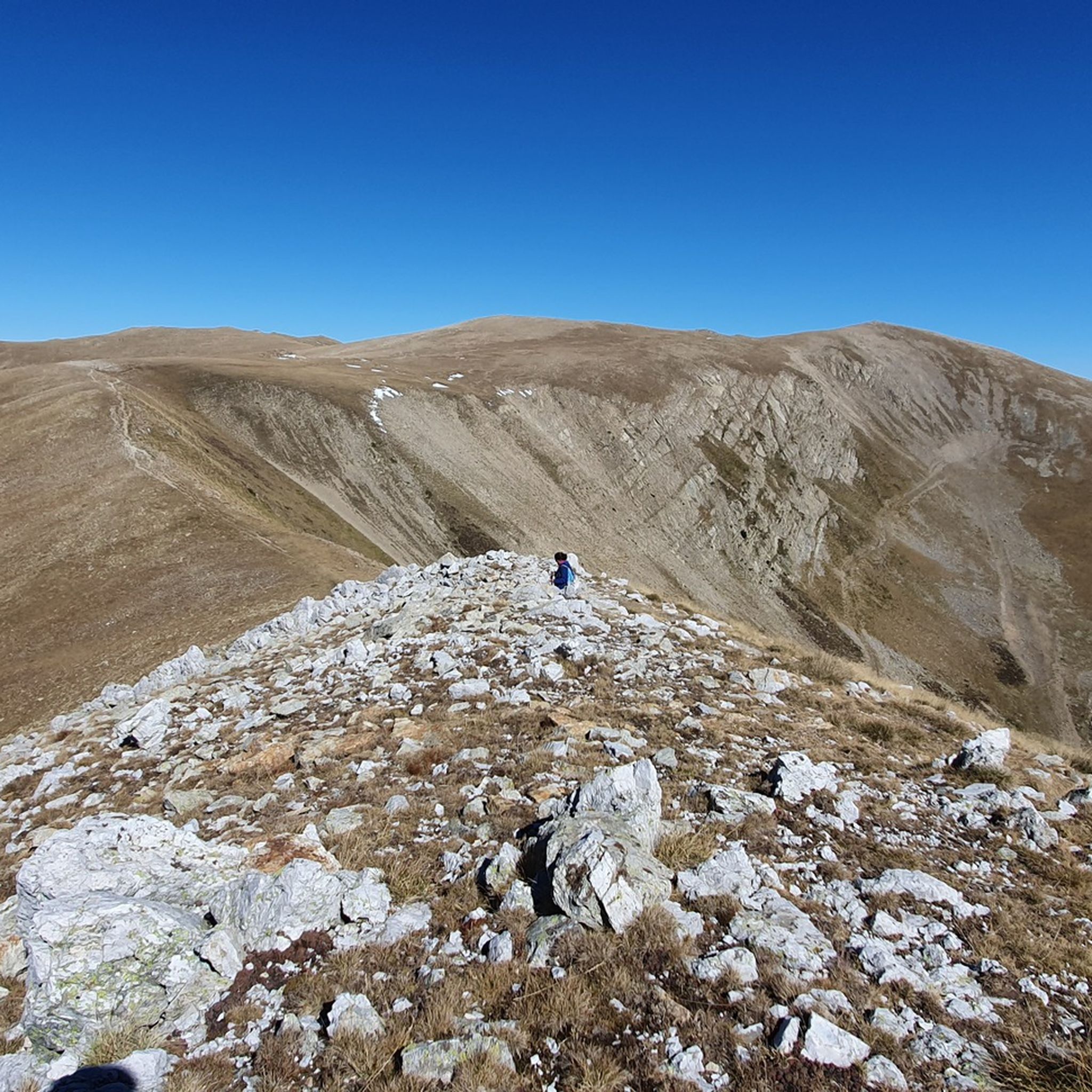
Mountain biking around Réserve naturelle de Mantet features a varied topography, ranging from 1,400 meters to 2,700 meters at the Pic de la Dona. The region is characterized by diverse forests, open heathlands, rocky outcrops, and river valleys, providing a wide array of challenging and scenic routes. This protected natural environment ensures pristine landscapes for outdoor activities.
Best mountain bike trails around Réserve naturelle de Mantet
- The most popular mountain bike trail is Mentet Pass – Mantet Pass loop from…
Last updated: July 15, 2026
5.0
(1)
7
riders
29.3km
03:04
720m
720m
Moderate mountain bike ride. Good fitness required. Suitable for all skill levels.
1.0
(1)
15
riders
43.4km
05:08
1,470m
1,470m
Hard mountain bike ride. Very good fitness required. Advanced riding skills necessary. Some portions of the route may require you to push your bike.

Sign up for free
16
riders
23.9km
02:15
900m
890m
Hard mountain bike ride. Good fitness required. Advanced riding skills necessary. Some portions of the route may require you to push your bike.
19
riders
22.0km
02:09
700m
700m
Moderate mountain bike ride. Good fitness required. Suitable for all skill levels.
5.0
(3)
85
riders
46.0km
03:33
1,090m
1,090m
Hard mountain bike ride. Very good fitness required. Suitable for all skill levels.
Get access to more routes and recommendations from other explorers.
Sign up for free
Already have an account?
Our route recommendations are based on thousands of hikes, rides, and runs completed by other people on komoot.
Start today with a free account
Your next adventure awaits.
Login or Signup
Popular around Réserve naturelle de Mantet


Tips from the Community

beautiful ascent, with a less attractive destination – The journey is the destination
0
0
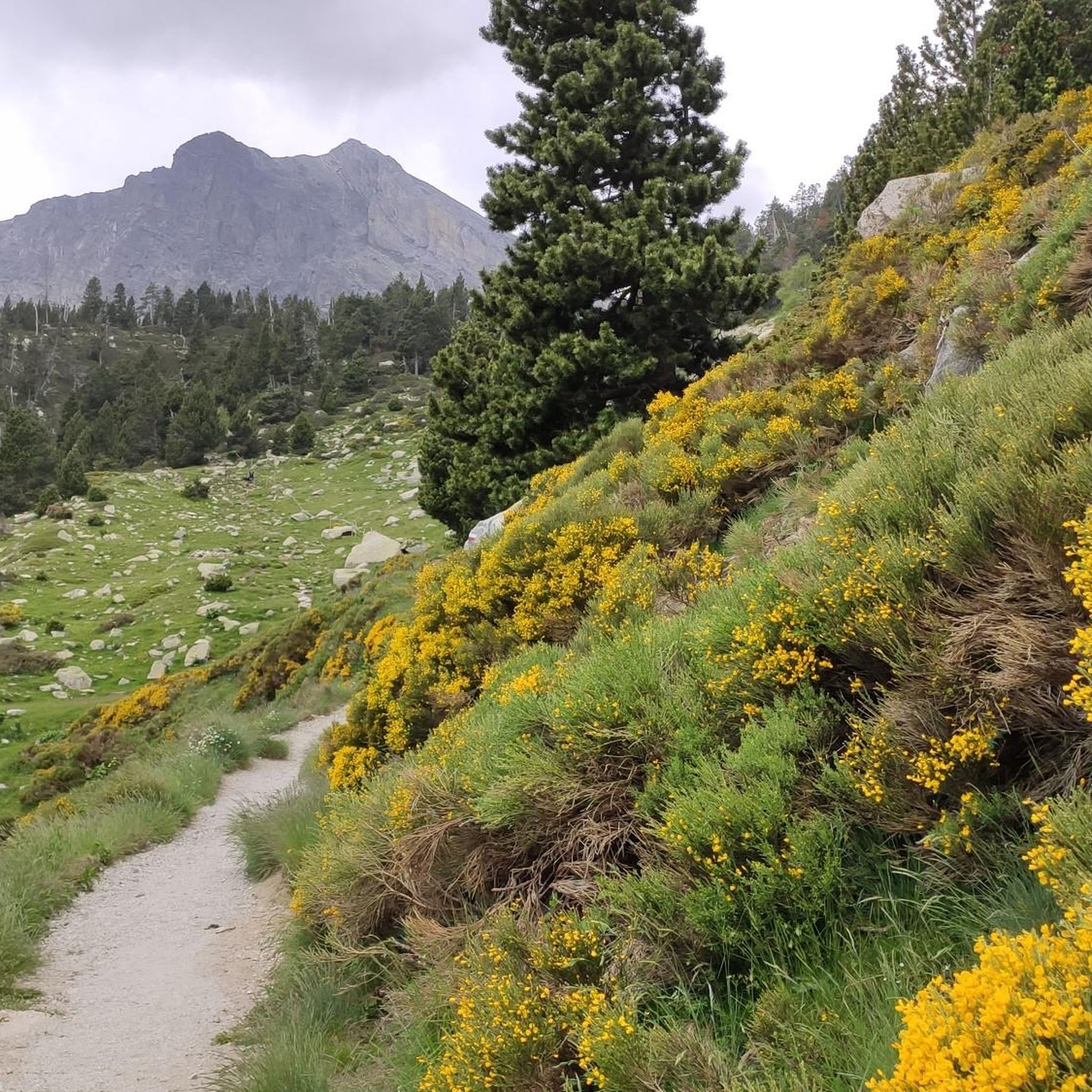
beautiful path along the Ter river, but Vallter 2000 itself is not so great.
0
0

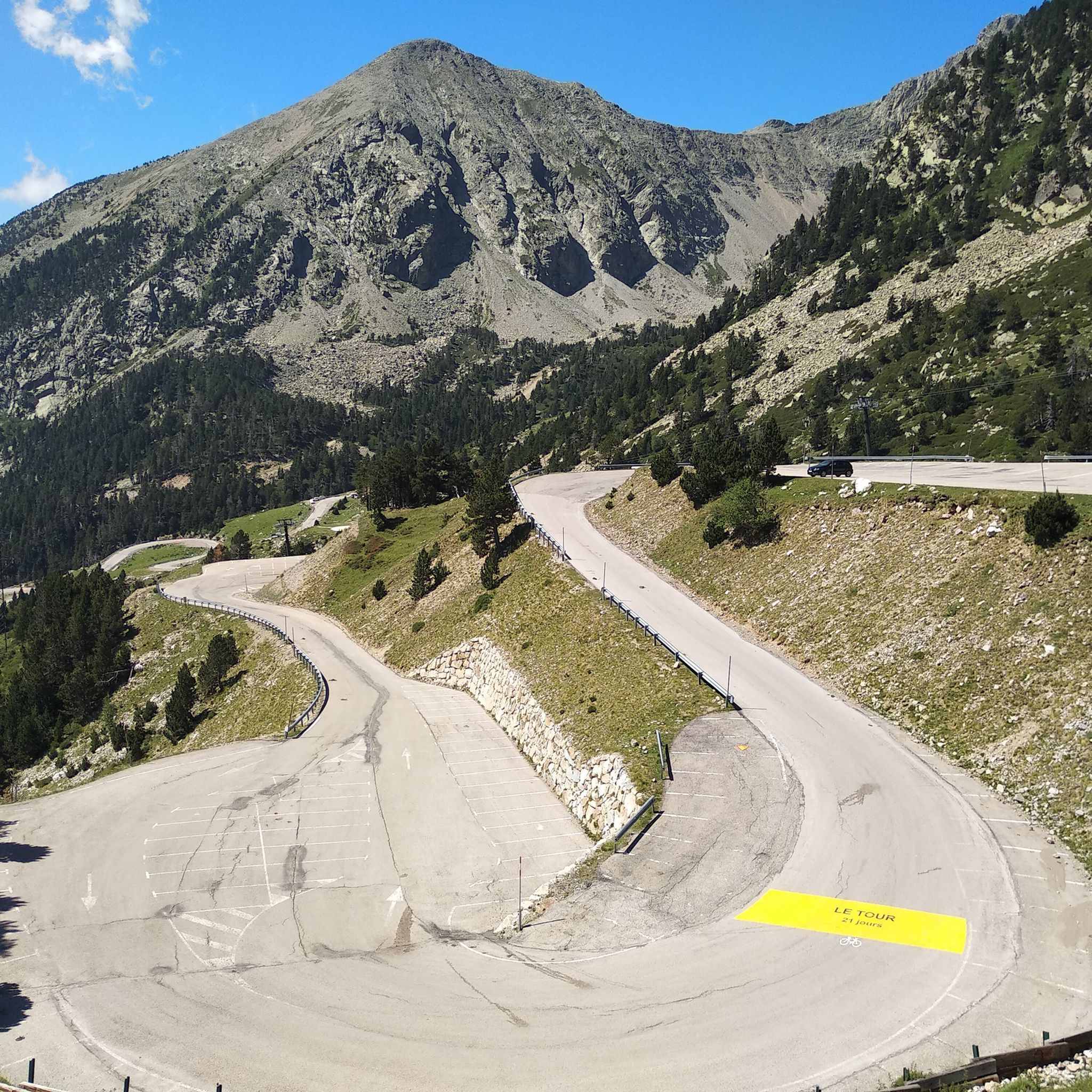
The ski resort, located on the main ridge of the Pyrenees in Ripollès on the border with France, is also one of the highest mountain passes that you can reach by bike on an asphalted road. The ski resort has been the finish line for the Volta a Catalunya several times, most recently in 2019.
1
0

Hidden spring near the exit of Setcases, surrounded by boxwood and silence. Fresh water, old metal channel and wooden benches. Ideal for stopping to eat, rest or simply listen to the water gushing. Access via asphalt track that ends in a small path (not recommended for MTB). Local project visible with signs like “Empatia”. Quiet space with rural charm.
3
0
This trail starts near the Roques d'en Mercer, which is taken at the highest point of the path from Setcases to Espinavell. Halfway along the trail, you'll find this viewpoint for Setcases. The trail is in good condition, but it has no exit: its final destination is Pla de Lliens. From there, there are multiple options, including the GR-11. ⚠️ Caution: most are corriols (narrow paths), and you can have a tough time, even downhill and on foot if you're cycling. If I had to recommend a route with few corriols, then without a doubt: heading downhill towards Llanars.
3
0

Vallter 2000 Descent Tip The descent from Vallter 2000 is steep, winding, and technical—especially challenging when you’re carrying a full bikepacking load. Make sure your brakes are strong and responsive before you start down. 🛑 Use both front and rear brakes smoothly to control your speed and avoid overheating. Take corners wide and slow down early, as some sections have sharp bends and rough patches. 💡 Pro tip: If your bikepacking setup includes heavy gear, consider breaking the descent into manageable sections with short breaks to keep your brakes cool and maintain control.
0
0
Forget about reaching the top on your e-bike, you'll have to climb on foot if you don't want to miss the 360º view Roc de la Mort de l'Escola is a mountain located near the town of Corsavy, in the Vallespir region of France. Although it is less known than other mountains in the region, its name already evokes a certain mystery and interest, as it can be translated as "Rock of Death of the Escort". This peculiar name has given rise to several local interpretations and legends. Only in the summer months, from August 23 onwards, the weather changes rapidly and in some cases dangerously. https://www.youtube.com/watch?v=AueQWN_e_VE
0
0
Frequently Asked Questions
What types of mountain bike trails can I find in Réserve naturelle de Mantet?
Réserve naturelle de Mantet offers a diverse range of mountain bike trails, from moderate climbs to challenging, long-distance routes. The terrain varies significantly, featuring dense forests, open heathlands, rocky outcrops, and river valleys. Out of 26 available routes, 9 are rated as moderate and 17 are difficult, providing options for various skill levels.
Are there any easy or family-friendly mountain bike trails in the Réserve naturelle de Mantet?
While the Réserve naturelle de Mantet is known for its challenging terrain, with most routes rated moderate to difficult, there are no trails specifically categorized as 'easy' in the provided data. The region's significant elevation changes and varied topography generally cater to riders looking for a more demanding experience. For family-friendly options, it's advisable to look for routes with minimal elevation gain and shorter distances, though these may be limited within the reserve itself.
What is the best time of year to go mountain biking in Réserve naturelle de Mantet?
The best time for mountain biking in Réserve naturelle de Mantet is typically during the warmer months, from late spring to early autumn. This period offers more stable weather conditions and accessible trails. Given the reserve's altitude range, from 1,400 meters to 2,700 meters at the Pic de la Dona, some higher elevation trails may still have snow or be less accessible earlier or later in the season.
Are dogs allowed on the mountain bike trails in Réserve naturelle de Mantet?
No, dogs are not permitted in the Réserve naturelle de Mantet, even on a leash. As a protected natural area, regulations are in place to conserve the environment and its wildlife, which includes restrictions on pets.
Are there any circular mountain bike routes available?
Yes, several circular mountain bike routes are available. For example, the Mentet Pass – Mantet Pass loop from Mantet is a moderate 18.2-mile (29.3 km) trail. Another option is the challenging Vallter 2000 Road – Roc de la Mort de l'Escolà loop from Vallter 2000, spanning 26.8 miles (43.1 km) with significant elevation gains.
What are some notable viewpoints or scenic spots along the mountain bike trails?
The Réserve naturelle de Mantet offers breathtaking panoramic views due to its location between the massifs of Canigó and Carançà. Trails often lead through diverse landscapes including forests, open heathlands, and rocky outcrops. The Pic de la Dona (2,702 m) is the highest point in the reserve, offering expansive views. Other notable spots include the Roca Colom summit and various high mountain passes like Mentet Pass and Col del Pal.
How long do mountain bike trails typically take to complete in this region?
Trail durations vary significantly based on difficulty and length. For instance, the moderate Mentet Pass – Mantet Pass loop from Mantet typically takes around 3 hours 3 minutes. More challenging routes, like the Vallter 2000 Road – Roc de la Mort de l'Escolà loop from Vallter 2000, can take over 5 hours due to their length and elevation gains.
What do other mountain bikers say about the trails in Réserve naturelle de Mantet?
The mountain bike trails in Réserve naturelle de Mantet are highly rated by the komoot community, with an average score of 4.5 stars from more than 20 reviews. Riders often praise the varied mountain terrain, the challenging climbs, and the stunning natural beauty of the protected reserve.
Are there any specific regulations or restrictions to be aware of when mountain biking in the reserve?
As a National Nature Reserve, there are regulations aimed at preserving the environment. These include prohibitions on littering, picking flowers, or off-road motorized vehicles. As mentioned, dogs are also not permitted. It's always advisable to check local guidelines before your ride to ensure compliance and help protect this pristine natural area.
What kind of wildlife might I encounter while mountain biking in Réserve naturelle de Mantet?
The Réserve naturelle de Mantet is rich in biodiversity. You might encounter over 140 animal species, including golden eagles, bearded vultures, griffon vultures, wildcats, ermines, and Pyrenean desmans. Herds of chamois (isards) are often spotted on summit lawns or rocky areas. The diverse ecosystems also support a significant number of insect species.
Where can I find parking for mountain biking near Réserve naturelle de Mantet?
While specific parking locations are not detailed in the provided data, access points to the reserve and its trails typically have designated parking areas. It's recommended to check the starting points of individual routes on komoot for precise parking information, or consult local tourism resources for the village of Mantet itself.
Most popular routes around Réserve naturelle de Mantet
Most popular attractions around Réserve naturelle de Mantet

Get inspired with the komoot mobile app


Explore more
Browse the best MTB trails in other regions.
