The best running trails around National Park Saja-Besaya
5.0
(12)
802
runners
99
runs
Jogging around National Park Saja-Besaya offers diverse landscapes within Cantabria's largest natural park. The region is characterized by vast deciduous forests, primarily ancient beech and oak groves, providing shaded routes. Deep valleys carved by the Saja and Besaya rivers offer picturesque paths along riverbeds, while varied mountainous terrain presents opportunities for uphill challenges. Elevations within the park range from around 200 meters to over 2,000 meters, featuring rounded shapes that gradually increase towards the Cantabrian Mountain Range.
Best jogging routes…
Last updated: May 11, 2026
5.0
(1)
41
runners
15.6km
01:55
390m
390m
Hard run. Very good fitness required. Mostly accessible paths. Some sure footedness required.
22
runners
23.7km
03:10
850m
850m
Hard run. Very good fitness required. Mostly paved surfaces. Suitable for all skill levels.

Sign up for free
9
runners
21.6km
02:41
640m
640m
Hard run. Very good fitness required. Mostly paved surfaces. Suitable for all skill levels.
5.0
(1)
5
runners
8.08km
01:06
300m
300m
Moderate run. Good fitness required. Mostly accessible paths. Some sure footedness required.
43
runners
18.4km
02:56
1,040m
1,040m
Hard run. Very good fitness required. Mostly paved surfaces. Suitable for all skill levels.
Get access to more routes and recommendations from other explorers.
Sign up for free
Already have an account?
Our route recommendations are based on thousands of hikes, rides, and runs completed by other people on komoot.
Start today with a free account
Your next adventure awaits.
Login or Signup
Popular around National Park Saja-Besaya


Other adventures around National Park Saja-Besaya

Tips from the Community

Whenever I pass by here, even by car, I take a look at this beautiful bridge.
1
0
Beautiful site, and right in the town.
1
0

Added to the collection: komoot.com/de-de/collection/3600632/-naturdenkmaeler-besondere-baeume-und-weitere-schaetze-der-natur
0
0

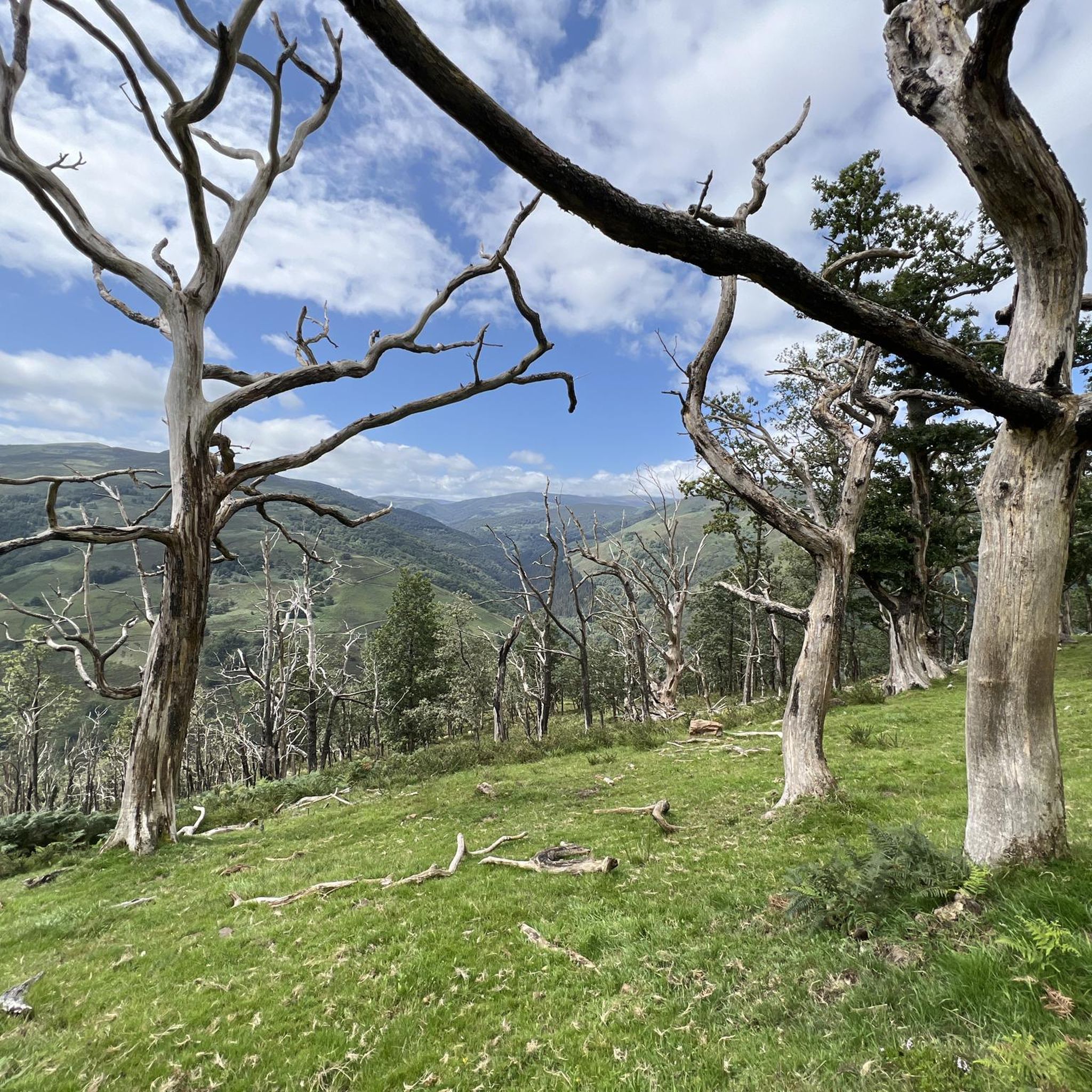
The Bujilices "Tumbao" Oak, located in Ucieda (Ruente) within the Saja-Besaya Natural Park, is one of Cantabria's most unique and magical trees. The tree fell under the weight of snow and wind at the end of the 19th century, but it didn't die. Four vertical branches sprouted from the fallen trunk, developing as if they were independent trees, creating a unique and spectacular shape.
2
0

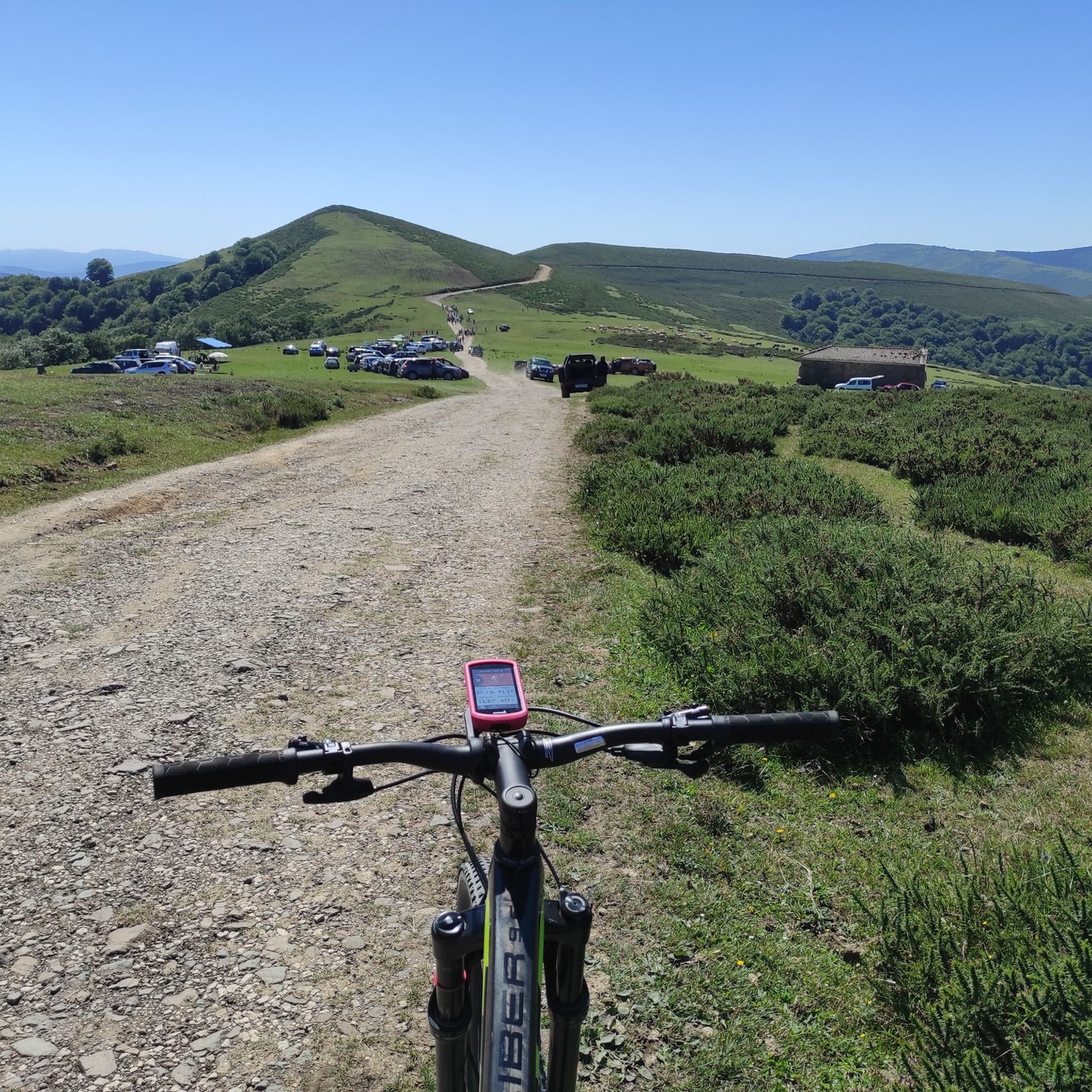
Beautiful meadow on a wide esplanade with wooden tables. From this point begins the long and hard climb to El Moral.
0
0

Bujilices fallen oak tree in Ucieda. Bucolic place to make a stop along the way, read life.
0
0

One of the singular trees of Cantabria. It is a trunk of about ten meters that rests on the ground and from which a series of branches sprout from 18 to 20 meters high. It is located on the Monte Río de los Vados route in the Ucieda forest, in section B-I.
1
0
There are several recreational areas with tables and barbecues, almost all with grills. There is also a huge children's playground and a bar that is open in summer. It has bathrooms, independent of the opening hours of the bar. Along the route of the Bayones River you will find the Ucieda pools where you can bathe.
1
0
Frequently Asked Questions
What is the general difficulty level of running trails in Saja-Besaya Natural Park?
Saja-Besaya Natural Park offers a wide range of running routes. While there are some easier paths, the majority of the trails, about 62 out of 102, are classified as difficult. These often feature significant elevation changes as the landscape gradually increases in elevation towards the Cantabrian Mountain Range. There are also 35 moderate and 5 easy routes available for those seeking less strenuous options.
Are there challenging running routes with significant elevation gain in the park?
Yes, for runners seeking a challenge, Saja-Besaya Natural Park has numerous routes with substantial elevation gain. For example, the Campa de Ucieda – La Fuentona loop from Río Bayones is a difficult 14.7-mile (23.7 km) path that features over 850 meters of ascent, offering expansive views of the park's mountainous areas.
Are there any notable viewpoints or landmarks along the running paths in Saja-Besaya?
Absolutely. Many running routes pass by or offer access to significant natural features and viewpoints. You can find places like the El Moral Plateau, which offers great views, or the historic village of Bárcena Mayor, known for its preserved architecture. The park also features unique geological formations like the "Molinucos del diablo" and extensive ancient beech and oak groves, such as the beautiful section through the beech forest.
Is parking available near the running routes in Saja-Besaya Natural Park?
Yes, the park is generally well-equipped for visitors. Recreational areas like "La casa del Monte" in Ucieda and "Llano Castrillo" in Bárcena Mayor often provide parking facilities, serving as convenient starting points for many trails. It's advisable to check specific route details for the closest parking options.
When is the best time of year to go running in Saja-Besaya Natural Park?
The extensive deciduous forests, primarily ancient beech and oak groves, create a lush, green environment ideal for shaded runs, making spring and summer excellent choices. Autumn also offers a unique experience with the changing foliage and the possibility of observing the bellowing of deer, particularly from viewpoints like Mirador La Cardosa. Always check local weather conditions before heading out.
Are there any family-friendly running routes in Saja-Besaya Natural Park?
While many routes are challenging, the park does offer options suitable for families. The 4.3-mile path from Bárcena Mayor to the Black Pool and Clear Fountain is noted as an easier option. When planning a family run, look for routes classified as 'easy' or 'moderate' on komoot, which typically have less elevation gain and shorter distances.
What do other runners enjoy the most about jogging in Saja-Besaya Natural Park?
The running experience in Saja-Besaya Natural Park is highly rated by the komoot community, with an average score of 5.0 stars from over 10 reviews. Runners often praise the diverse landscapes, from vast deciduous forests providing ample shade to picturesque paths along riverbeds. The well-marked trails and the opportunity for both gentle paths and challenging ascents are also frequently highlighted.
Can I find circular running trails in the Saja-Besaya region?
Yes, many of the running routes in Saja-Besaya Natural Park are designed as loops, allowing you to start and finish at the same point. For instance, the Ucieda Mountain House – Campa de Ucieda loop from Río Bayones is a popular 10.2-mile (16.4 km) circular trail that takes you through ancient beech and oak groves.
Are there running routes that follow riverbeds in the park?
Yes, the park is characterized by deep valleys carved by the Saja and Besaya rivers and their numerous tributaries. This provides many picturesque routes along riverbeds. The Ruta de los Puentes Trail, for example, is a 9.7-mile (15.6 km) route that leads through dense forests and along riverbeds, offering a refreshing running experience.
What kind of natural features can I expect to see while running in Saja-Besaya Natural Park?
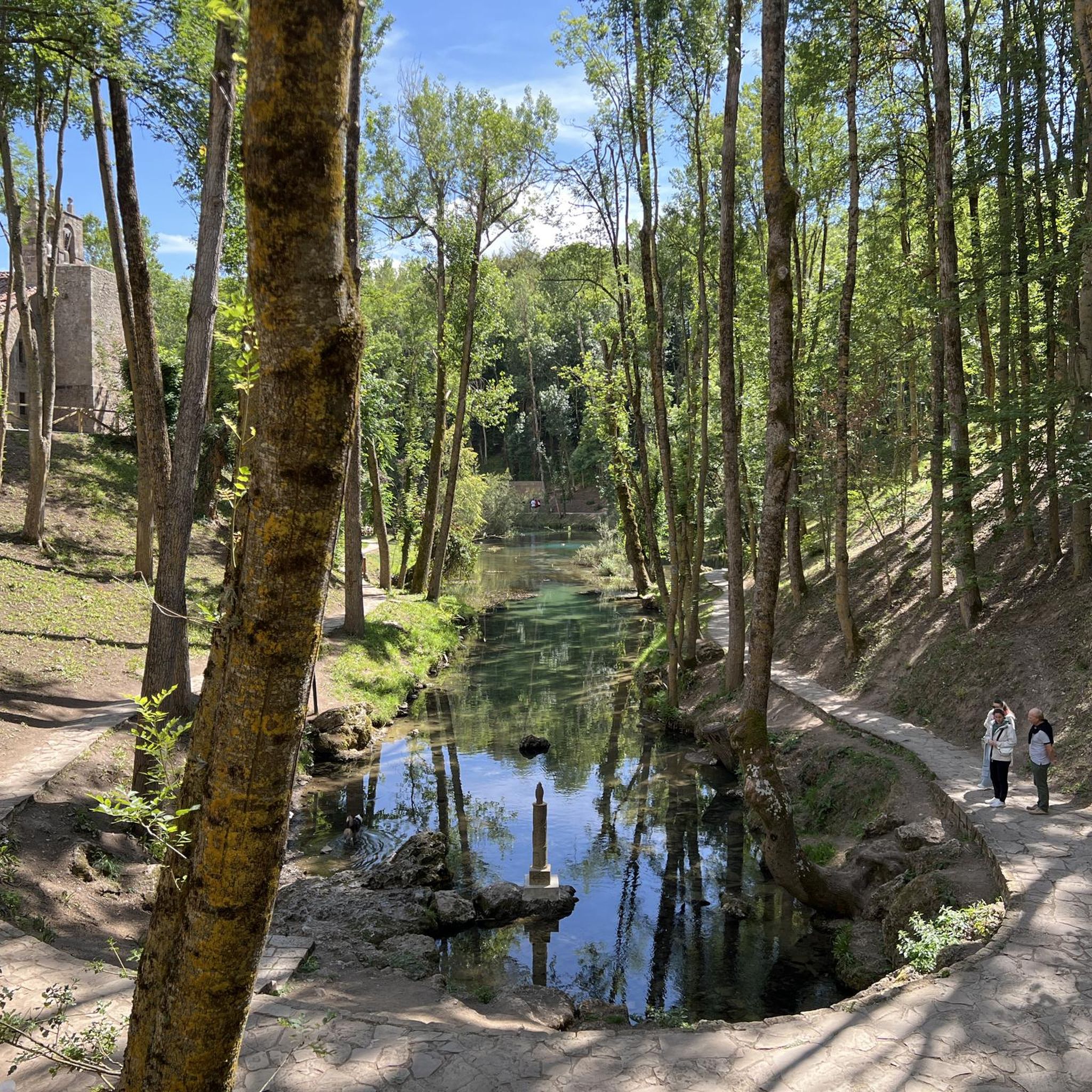
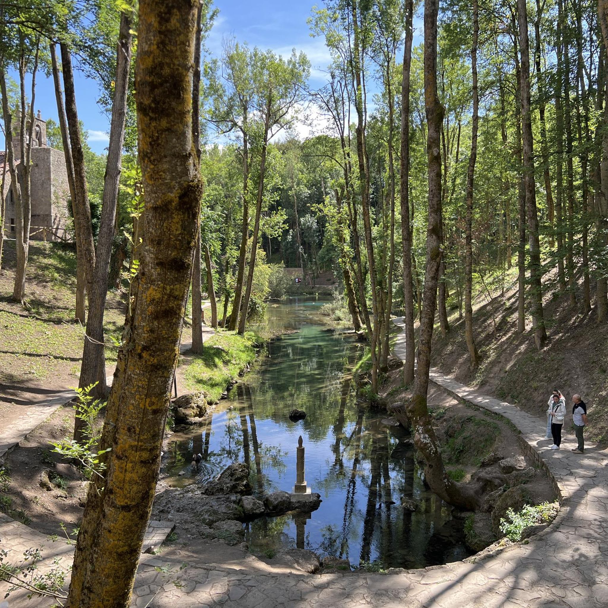
Runners in Saja-Besaya Natural Park will encounter a rich variety of natural features. The park boasts the largest continuous deciduous woodland in the Cantabrian mountain range, with extensive ancient beech and oak groves. You'll also find deep river valleys, varied mountainous terrain, and even high-altitude pastures towards the southern end. Points of interest include the Pool area in the Argonza River and the unique geological formations of the "Molinucos del diablo".
Are there any long-distance running trails for endurance training in Saja-Besaya?
For those looking for longer runs, Saja-Besaya Natural Park offers several extensive trails. The Campa de Ucieda – La Fuentona loop from Río Bayones, at 14.7 miles (23.7 km), provides a significant distance with considerable elevation. Another option is the “Tumbao” Oak of Bujilices – Puentes Trail loop from Río Bayones, which spans over 13 miles (21.5 km).
Most popular routes around National Park Saja-Besaya
Most popular attractions around National Park Saja-Besaya

Get inspired with the komoot mobile app


Explore more
Browse the best Running Trails & Routes in other regions.
