The best walks and hikes in Landkreis Dillingen an der Donau
4.5
(2150)
9,463
hikers
1,099
hikes
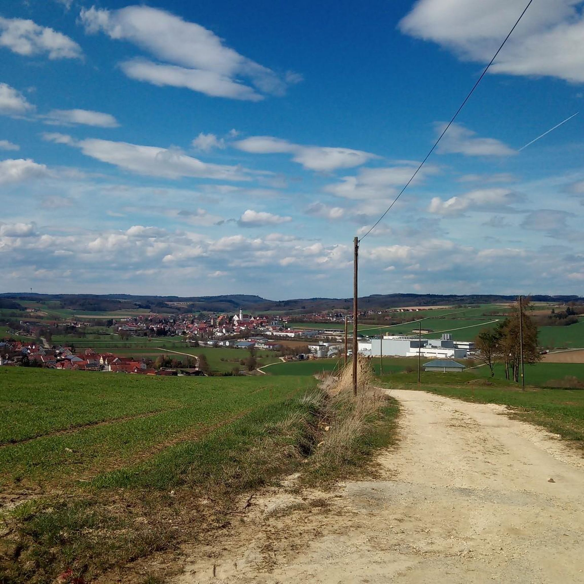
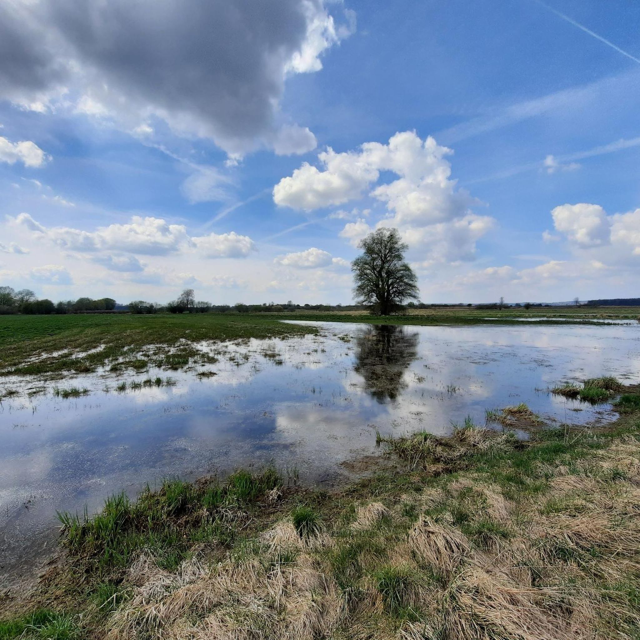
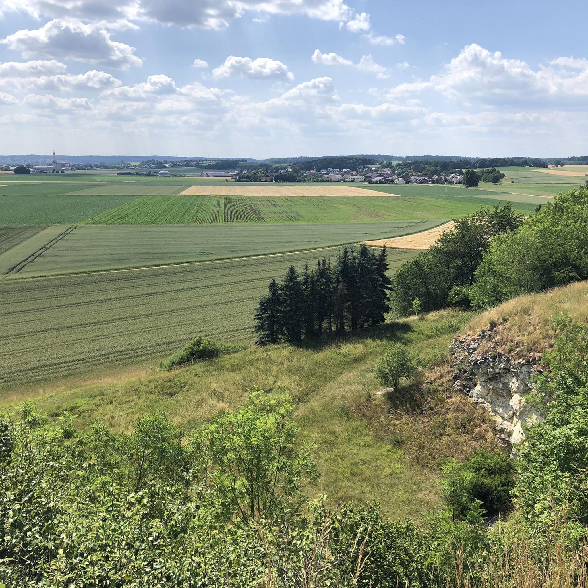
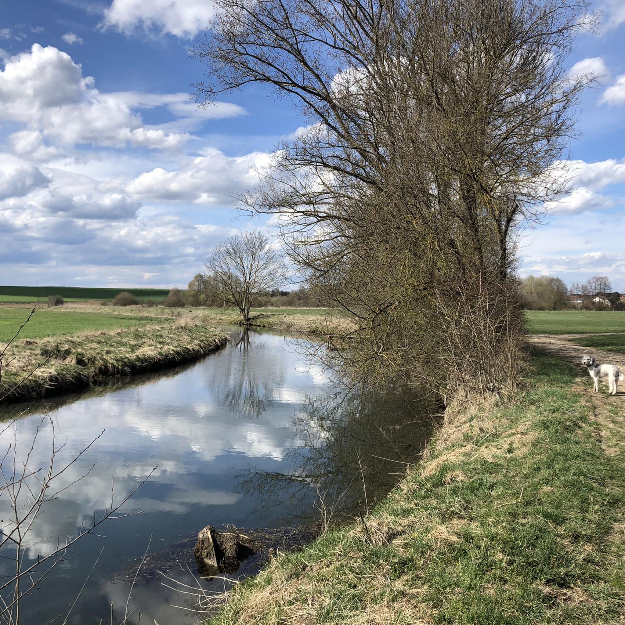
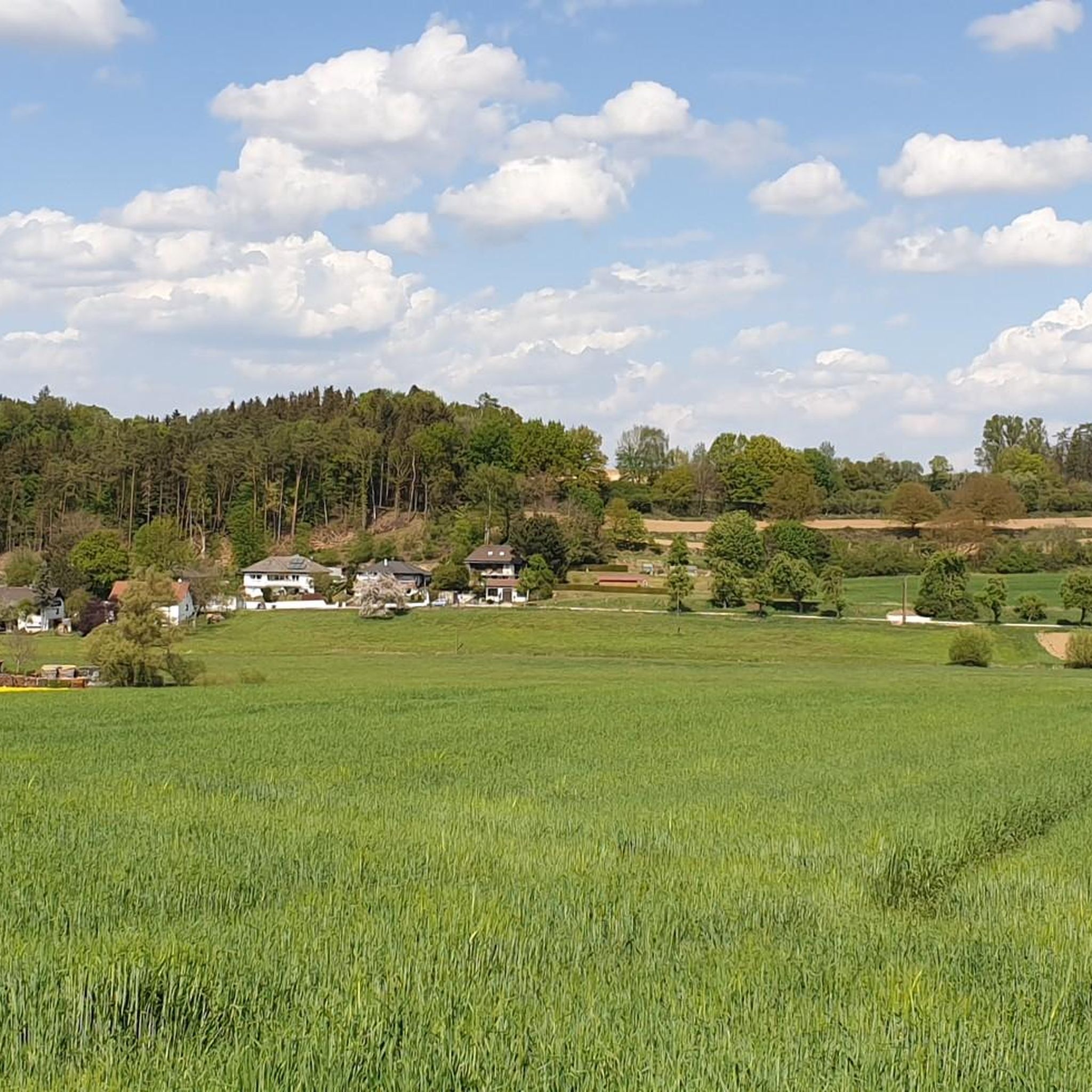
Hiking trails in Landkreis Dillingen an der Donau are characterized by the Danube River, which flows through the region, creating extensive floodplain landscapes and riparian forests. The northern part of the district features the foothills of the Swabian Alb, offering panoramic views. South of the Danube, the Donauried spreads out, an area of meadows and pastures. This diverse geography provides varied terrain for outdoor activities.
Best hiking trails in Landkreis Dillingen an der Donau
- The most popular hiking route is…
Last updated: August 5, 2026
4.9
(21)
79
hikers
Easy hike. Great for any fitness level. Easily-accessible paths. Suitable for all skill levels.
4.0
(4)
36
hikers
4.34km
02:04
20m
20m
Easy hike. Great for any fitness level. Easily-accessible paths. Suitable for all skill levels.

Sign up for free
4.5
(62)
185
hikers
Easy hike. Great for any fitness level. Easily-accessible paths. Suitable for all skill levels.
4.7
(70)
248
hikers
Easy hike. Great for any fitness level. Easily-accessible paths. Suitable for all skill levels.
4.3
(29)
104
hikers
Moderate hike. Good fitness required. Easily-accessible paths. Suitable for all skill levels.
4.7
(37)
109
hikers
Moderate hike. Good fitness required. Mostly accessible paths. Sure-footedness required.
4.5
(32)
103
hikers
7.69km
01:58
30m
30m
Easy hike. Great for any fitness level. Easily-accessible paths. Suitable for all skill levels.
4.6
(21)
77
hikers
Moderate hike. Good fitness required. Easily-accessible paths. Suitable for all skill levels.
4.7
(21)
62
hikers
Easy hike. Great for any fitness level. Easily-accessible paths. Suitable for all skill levels.
4.8
(13)
71
hikers
Moderate hike. Good fitness required. Easily-accessible paths. Suitable for all skill levels.
Get access to more routes and recommendations from other explorers.
Sign up for free
Already have an account?
Our route recommendations are based on thousands of hikes, rides, and runs completed by other people on komoot.
Start today with a free account
Your next adventure awaits.
Login or Signup
Popular around Landkreis Dillingen an der Donau
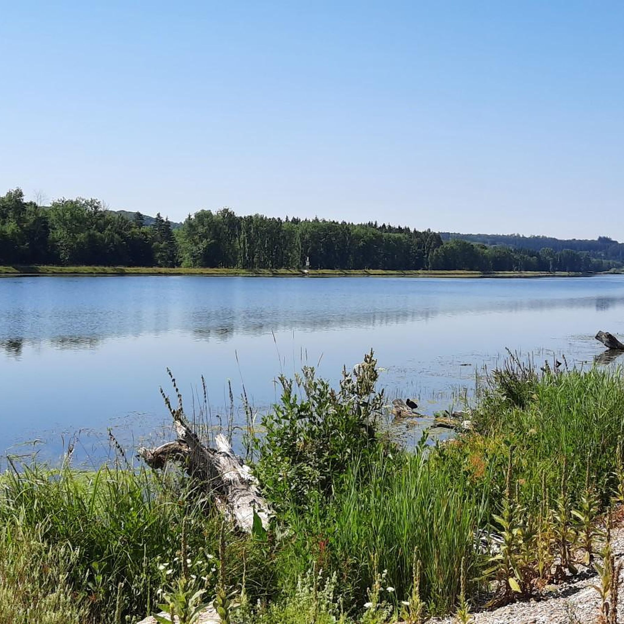
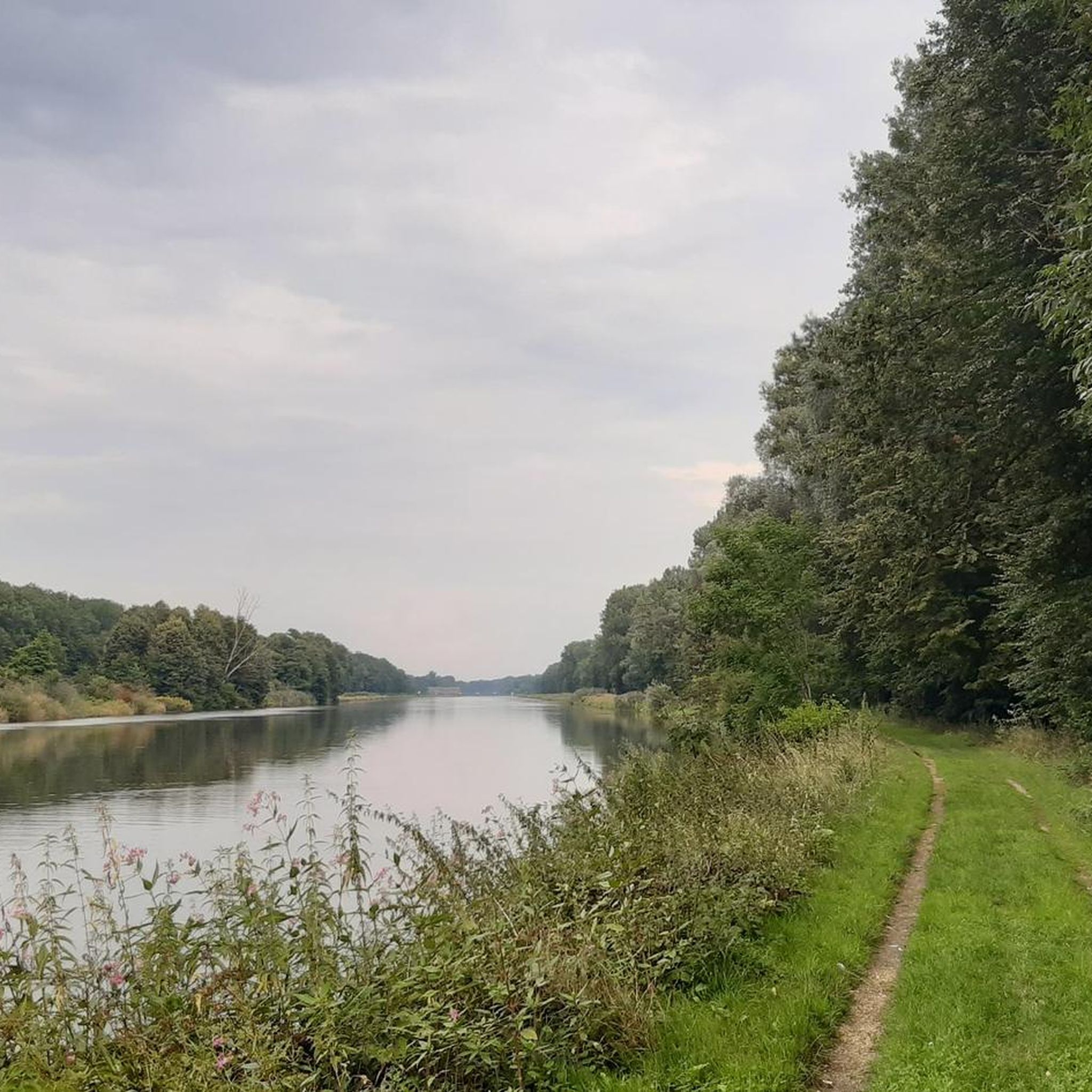
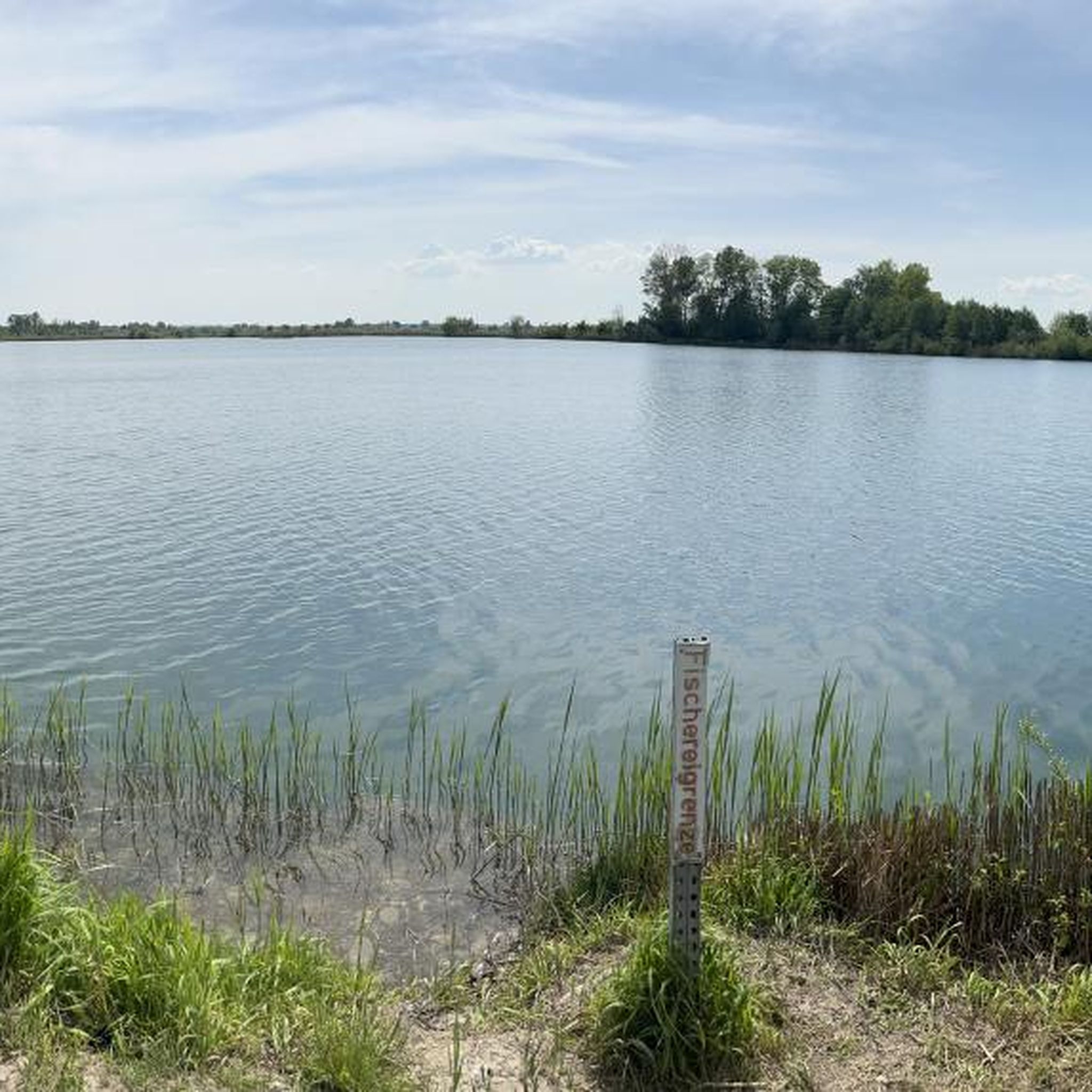
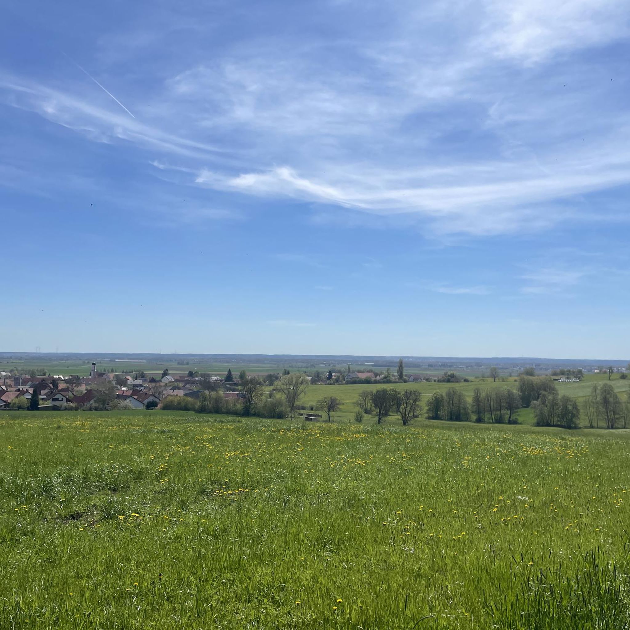
Other adventures in Landkreis Dillingen an der Donau


Tips from the Community

Next to the spring there is a bench from which you enjoy a great view.
1
0

great view and beautiful atmosphere
0
0

Resting spot with a beautiful view
0
0

The Jubilee Cross was donated by the Dillingen Tower Association. Benches and a panoramic lounger with a view over the Danube valley make it a great rest stop for cyclists and hikers.
0
0
The Goldburg once stood in the middle of the forest on a large hill. The depression that runs here is said to have marked its moat. The knights Lutz lived on it, to whom the place name Lutzingen is said to be attributed. Good story, right? It is. According to legend, the castle and its inhabitants and treasures are said to have sunk into the forest. With a little luck, you might find the gold.
1
0
The Goldbergalm is the perfect starting point for hikes and bike tours in the region. Whether for a culinary start or a cozy end to the day, its location is simply perfect. From its terrace you have a fantastic view over wide meadows and fields. You can find opening hours and offers here: https://www.goldberg-alm.de/
0
0
Controversial in his time, celebrated today. Because he acted like a doctor, he was labeled a charlatan and even reported for practicing medicine without a license. The fountain commemorates the life's work and the person of Sebastian Kneipp, who is depicted here in a friendly and approachable manner. The monument was created by the Munich artist Wilhelm Nida-Rümelin. It is striking that Kneipp is shown wearing a cassock and yet barefoot. Both elements aptly summarize his role: priest on the one hand, and founder of a healing method still practiced today on the other.
0
0
The Danube flows powerfully through Dillingen. Along its banks, you can enjoy endless walks right by the water. Europe's second-longest river shapes the southern part of Dillingen. Its history is closely intertwined with the river and continues to define the city's identity.
0
0
Frequently Asked Questions
How many hiking trails are available in Landkreis Dillingen an der Donau?
Landkreis Dillingen an der Donau offers a wide variety of hiking experiences, with over 1000 routes available. This includes 676 easy trails, 398 moderate trails, and 24 difficult trails, catering to all skill levels.
What kind of terrain can I expect on hikes in Landkreis Dillingen an der Donau?
The region's terrain is diverse, shaped by the Danube River. You'll find extensive floodplain landscapes and riparian forests, particularly along the 27-kilometer stretch of the Danube. To the north, the foothills of the Swabian Alb offer magnificent panoramic views, while south of the Danube, the Donauried presents areas of meadows and pastures. This variety ensures routes from flat riverside paths to those with moderate elevation gain.
Are there easy hiking trails suitable for families or beginners?
Yes, the region is well-suited for families and beginners, with 676 easy trails available. Many routes are relatively flat, especially those along the Danube. For example, the Scottish Highland Cattle – View of the Lake loop from Gundelfinger Moos is an easy 6.1 km trail that explores natural areas.
Can I find trails with panoramic views in the region?
Absolutely. The northern part of the district, bordering the Swabian Alb foothills, provides splendid panoramic views over the Danube Valley. The Donautal Panoramawege (Danube Valley Panorama Trails) are specifically designed to offer such vistas, with themed routes like the "Grenzweg" and "Sinne-Reich" providing unique perspectives.
Are there any circular hiking routes available?
Many of the hiking routes in Landkreis Dillingen an der Donau are designed as circular paths, allowing you to start and end at the same point. An example is the Höchstädt Castle – Bruckmahd Lakes loop from Höchstädt an der Donau, a moderate 14.4 km trail that offers scenic views.
What interesting natural features or landmarks can I see while hiking?
The region is rich in natural and cultural sights. You can explore the unique riparian forests of the DonAUwald-Wanderweg, one of Germany's flattest premium hiking trails. Other natural areas include the Zöschinger Forest and Gundelfinger Moos. Culturally, you might encounter historic castles like Schloss Dillingen and Schloss Höchstädt. For specific natural highlights, consider visiting the Birdwatching Tower Sophienried or the Prälatenweiher.
Are there any dog-friendly hiking options in Landkreis Dillingen an der Donau?
While specific dog restrictions can vary by nature reserve, many trails in the region are suitable for walks with dogs, especially those outside protected areas. The extensive network of paths through forests and along the Danube provides ample space for you and your canine companion to enjoy the outdoors. Always keep dogs on a leash where required and respect local wildlife.
What do other hikers enjoy the most about hiking in Landkreis Dillingen an der Donau?
The komoot community highly rates hiking in Landkreis Dillingen an der Donau, with an average score of 4.6 stars from over 1800 reviews. Hikers often praise the diverse landscapes, from the tranquil riparian forests to the panoramic views from the Swabian Alb foothills, and the well-maintained paths that cater to various fitness levels.
Are there opportunities for wildlife observation during hikes?
Yes, the region's diverse ecosystems, particularly the extensive riparian forests along the Danube and areas like Gundelfinger Moos and Donauried, provide excellent opportunities for wildlife observation. Birdwatching is particularly rewarding, with specific spots like the Birdwatching Tower Sophienried designed for this purpose.
Can I access hiking trails using public transport?
Many areas in Landkreis Dillingen an der Donau are accessible by public transport. The DonAUwald-Wanderweg, for instance, is noted for its easy accessibility by train, promoting climate-neutral travel. It's advisable to check local bus and train schedules for specific trailheads to plan your journey effectively.
Are there any trails that feature water bodies like lakes or rivers?
The Danube River is a central feature of the region, and many trails run alongside it, offering beautiful riverside walks. Additionally, there are several lakes and former floodplains now used as meadows. The Auwaldsee Nature Trail – Auwald Lake loop from Lauingen (Donau) is an easy route that takes you around a lake, providing a refreshing experience.
What is the best time of year for hiking in Landkreis Dillingen an der Donau?
The region offers enjoyable hiking experiences throughout much of the year. Spring and autumn provide pleasant temperatures and beautiful natural colors, especially in the riparian forests. Summer is also popular, though some trails might be more exposed to the sun. Winter hikes are possible, particularly on the flatter paths, offering a different, serene perspective of the landscape.
Most popular routes in Landkreis Dillingen an der Donau
Most popular attractions in Landkreis Dillingen an der Donau

Get inspired with the komoot mobile app


Didn’t find what you were looking for?
Check out more Hikes throughout Landkreis Dillingen an der Donau below and find the perfect route in your destination.
Explore more
Browse the best Hikes in other regions.
