The best running trails around Rabanera Del Pinar
70
runners
11
runs
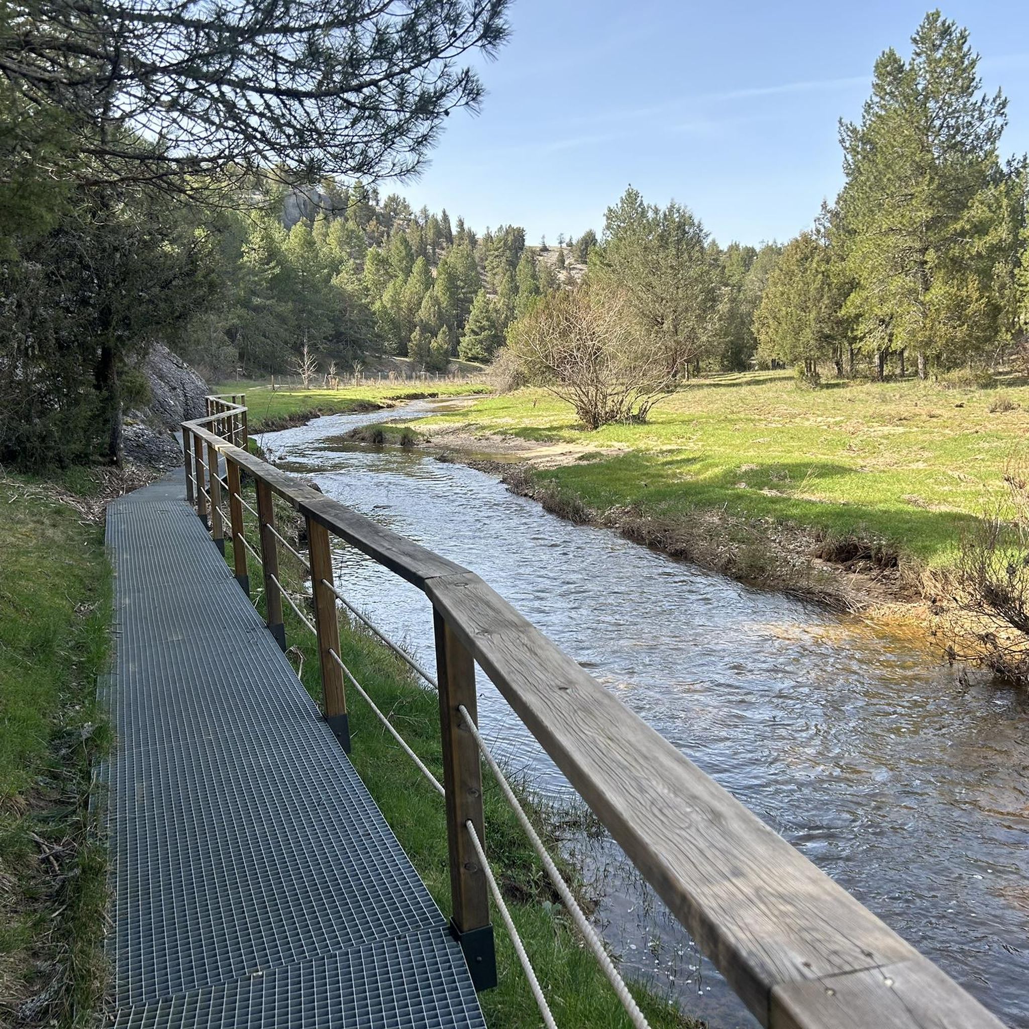
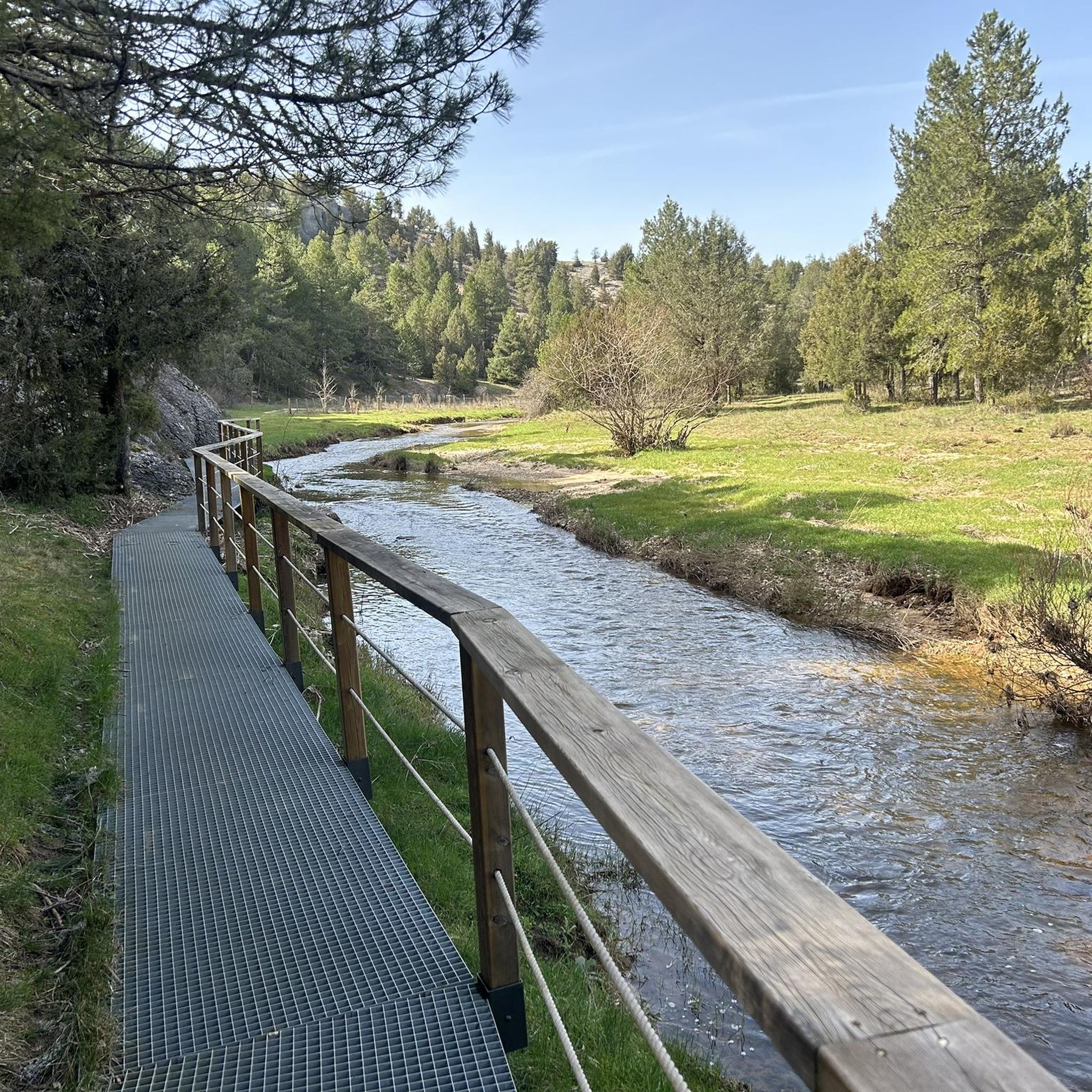
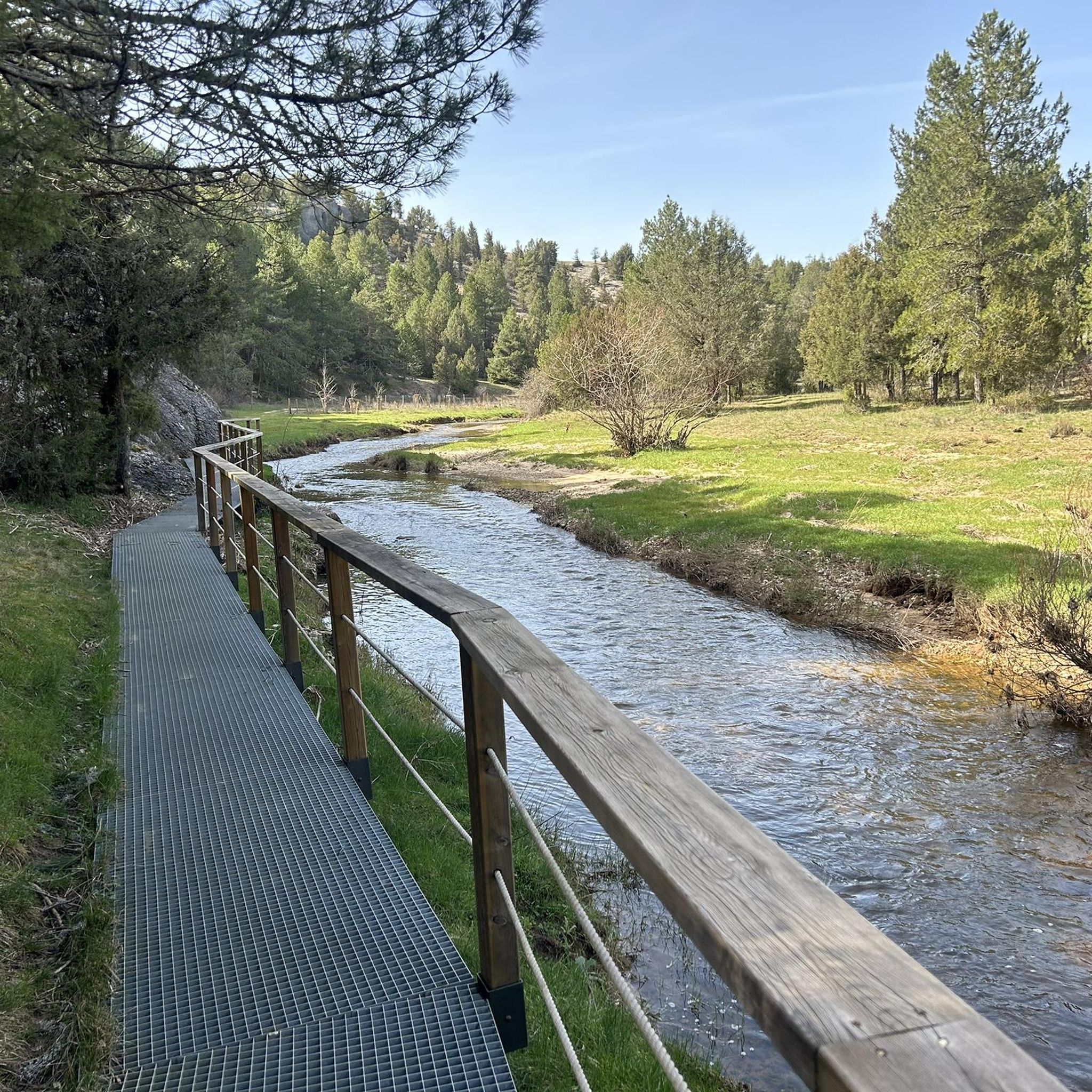
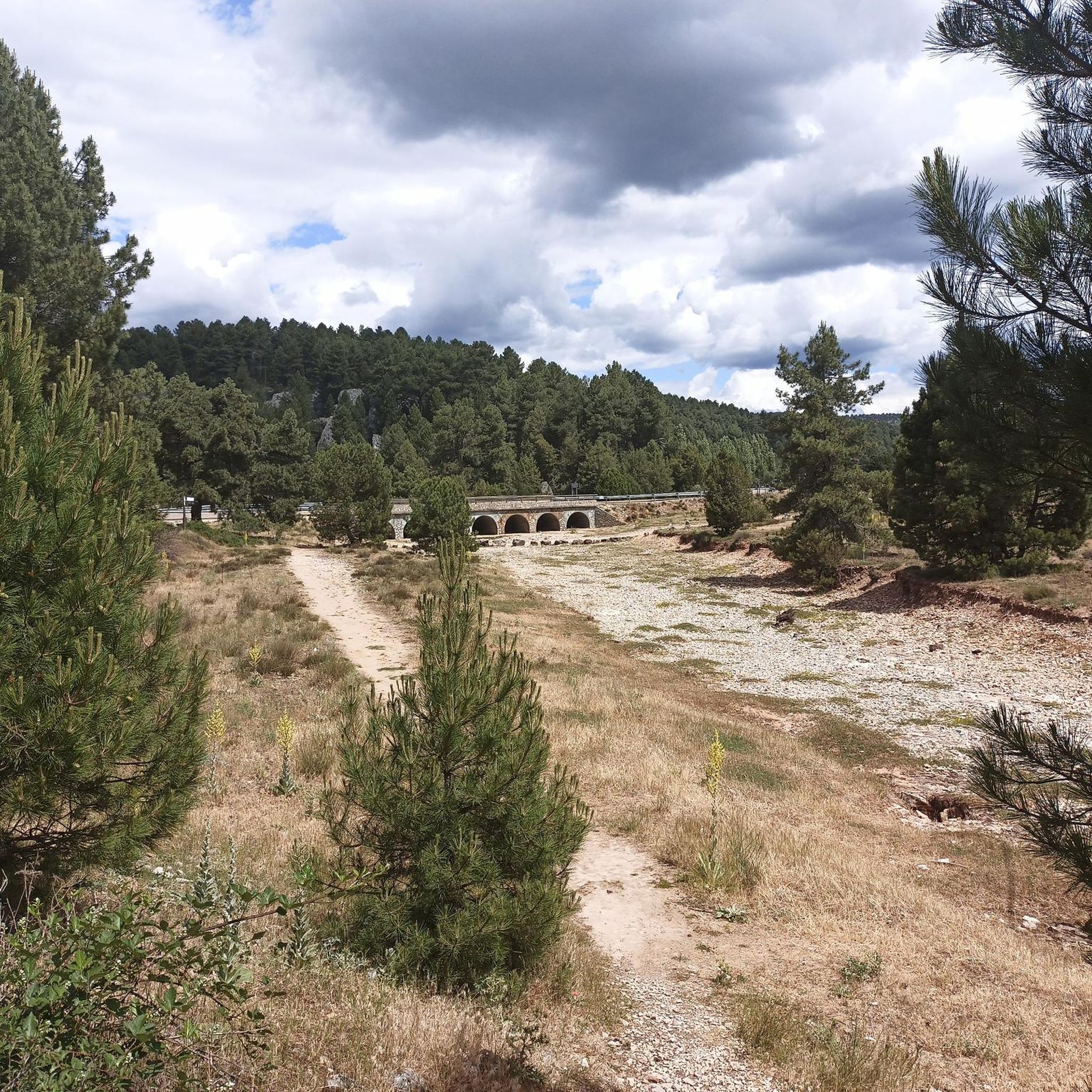
Jogging routes around Rabanera Del Pinar are set within the Sierra de la Demanda, characterized by extensive Scots pine and oak forests. The region features a varied topography with an altitude range from approximately 1060 meters to 1272 meters, offering diverse running experiences. Rivers like the Lobos and Rabanera, along with smaller streams, traverse the area, creating picturesque routes. This natural environment provides a tranquil setting for running.
Best jogging routes around Rabanera Del Pinar
- The most popular jogging route…
Last updated: May 23, 2026
11
runners
12.6km
01:24
180m
180m
Moderate run. Good fitness required. Mostly paved surfaces. Suitable for all skill levels.
9
runners
9.03km
01:00
140m
140m
Moderate run. Good fitness required. Mostly paved surfaces. Suitable for all skill levels.

Sign up for free
9
runners
11.7km
01:18
160m
160m
Moderate run. Good fitness required. Mostly paved surfaces. Suitable for all skill levels.
9
runners
10.4km
01:16
200m
200m
Moderate run. Good fitness required. Mostly paved surfaces. Suitable for all skill levels.
3
runners
7.27km
00:46
60m
60m
Moderate run. Good fitness required. Mostly paved surfaces. Suitable for all skill levels.
Get access to more routes and recommendations from other explorers.
Sign up for free
Already have an account?
Our route recommendations are based on thousands of hikes, rides, and runs completed by other people on komoot.
Start today with a free account
Your next adventure awaits.
Login or Signup
Tips from the Community

Frequently Asked Questions
How many running routes are available in Rabanera Del Pinar?
There are over 10 dedicated running routes around Rabanera Del Pinar, offering a variety of experiences for different fitness levels. The guide features 11 routes, with the majority being moderate in difficulty.
What kind of terrain can I expect on the jogging trails around Rabanera Del Pinar?
The running trails in Rabanera Del Pinar are characterized by extensive Scots pine and oak forests, providing shaded and scenic paths. You'll encounter varied topography, with altitudes ranging from approximately 1060 meters to 1272 meters, offering both gentler paths along riverbanks and more challenging uphill climbs. Rivers like the Lobos and Rabanera also traverse the area, creating picturesque routes.
Are there any easy or beginner-friendly running routes in the area?
While most of the routes in this guide are rated as moderate, the varied topography of Rabanera Del Pinar does allow for gentler paths, especially along riverbanks or on converted old railway lines. For a moderate introduction, consider the Running loop from Navas del Pinar, which is just under 9 km.
Are there any circular running routes in Rabanera Del Pinar?
Yes, many of the running routes in the area are circular, allowing you to start and finish at the same point. A popular option is the Aldea del Pinar loop from Rabanera del Pinar, a 12.6 km trail that winds through characteristic pine forests.
What are some scenic points or attractions I might see while running?
The region offers several natural and cultural points of interest. You might encounter the Footbridge over the Río Lobos, or natural springs like El Apretadero Spring and Pinarejos Spring. The area also has paleobotanical interest and historical structures like the late 16th-century parish church in Rabanera Del Pinar.
Are the running trails in Rabanera Del Pinar suitable for families?
The diverse terrain means there are options for various fitness levels. While specific 'easy' routes are not highlighted in this guide, families can look for flatter sections, such as those found along riverbanks or potentially on converted old railway lines, which often provide well-maintained paths. Always check the route details for distance and elevation to ensure it suits your family's capabilities.
Can I bring my dog on the running trails?
Rabanera Del Pinar's extensive natural environment, with its vast forests and streams, is generally welcoming for dogs. However, it's always recommended to keep your dog on a leash, especially in areas with wildlife or near livestock, and to check for any specific local regulations or protected areas that might have restrictions. The tranquil atmosphere is perfect for a run with your canine companion.
Where can I park when visiting Rabanera Del Pinar for a run?
While specific parking locations for each route are not detailed here, Rabanera Del Pinar is a rural area. You can typically find parking in or near the village centers, or at designated trailheads. For routes starting from specific villages like Hontoria del Pinar, such as the Sima Paúles – Torca Tapada loop, parking would generally be available within or on the outskirts of that settlement.
Are there any longer distance running trails for advanced runners?
Yes, the region offers routes that provide a good challenge. For instance, the Aldea del Pinar loop from Rabanera del Pinar is 12.6 km with moderate elevation, and the Aldea del Pinar loop from Aldea del Pinar covers 11.7 km through extensive woodlands. These routes, combined with the varied topography, can provide a rewarding experience for more experienced runners.
What do other runners enjoy most about jogging in Rabanera Del Pinar?
Many runners have explored Rabanera Del Pinar's varied terrain using komoot. They often praise the tranquil setting provided by the extensive pine forests and the scenic beauty of the river valleys. The diverse topography ensures there are options for different ability levels, making it a rewarding destination for outdoor enthusiasts.
Is there public transport available to reach the running routes in Rabanera Del Pinar?
Rabanera Del Pinar is nestled in a mountainous and forested region, and public transport options might be limited. It's advisable to check local bus schedules or consider driving to access the trailheads. The area is more geared towards active tourism, suggesting that personal transport is often the primary way to reach these routes.
Are there any routes that follow old railway lines, which are often good for running?
The region is known to have an old disused railway line that has been converted into rural accommodation and an active tourism center. Such converted lines often provide flat, well-maintained paths that are excellent for long, steady runs. While this guide doesn't specifically detail routes on the railway line, it's a characteristic feature of the area that could offer suitable running sections.
Most popular attractions around Rabanera Del Pinar

Get inspired with the komoot mobile app


Explore more
Browse the best Running Trails & Routes in other regions.
