The best walks and hikes around Colomers
4.4
(167)
834
hikers
105
hikes
Hiking around Colomers offers access to a unique glacial landscape within the Pyrenees, characterized by numerous pristine lakes and challenging mountain peaks. The region is defined by the Colomers Glacier Cirque, which encompasses nearly 50 glacial lakes, locally known as "estanhs." High and steep mountain peaks, many exceeding 2,500 meters, along with large blocks of granite, shape the rugged terrain. This area provides a diverse environment for hiking, from lake circuits to higher alpine routes.
Best hiking trails around Colomers
- The most popular hiking route is Colomers Dam Footbridge – Gravel El Romaniyar loop from Colomers, a 6.2 miles (9.9 km) trail that takes 2 hours 36 minutes to complete. This moderate route features varied terrain around the Colomers Dam.
- Another top favourite among local hikers is Restaurante El Xalet – Roman Road loop from Colomers, a moderate 5.8 miles (9.3 km) path. This route explores historical paths and offers views of the surrounding landscape.
- Local hikers also love the Roman Road – Restaurante El Xalet loop from Vilopriu, a 6.0 miles (9.7 km) trail leading through historical areas, often completed in about 2 hours 38 minutes.
- Hiking around Colomers is defined by glacial lakes, high mountain peaks, and granite formations. The network offers options for various ability levels, from moderate loops to more challenging ascents.
- The routes in Colomers are highly rated by the komoot community with an average score of 4.3 stars from over 130 reviews. More than 760 hikers have used komoot to explore Colomers's varied terrain.
Last updated: July 26, 2026
3.0
(1)
18
hikers
9.94km
02:36
70m
70m
Moderate hike. Good fitness required. Easily-accessible paths. Suitable for all skill levels.
5.0
(2)
15
hikers
9.32km
02:31
120m
120m
Moderate hike. Good fitness required. Easily-accessible paths. Suitable for all skill levels.

Sign up for free
5.0
(2)
15
hikers
9.72km
02:38
130m
130m
Moderate hike. Good fitness required. Easily-accessible paths. Suitable for all skill levels.
4.7
(3)
6
hikers
11.6km
03:01
70m
70m
Moderate hike. Good fitness required. Easily-accessible paths. Suitable for all skill levels.
3.0
(1)
6
hikers
Easy hike. Great for any fitness level. Easily-accessible paths. Suitable for all skill levels.
Get access to more routes and recommendations from other explorers.
Sign up for free
Already have an account?
Our route recommendations are based on thousands of hikes, rides, and runs completed by other people on komoot.
Start today with a free account
Your next adventure awaits.
Login or Signup
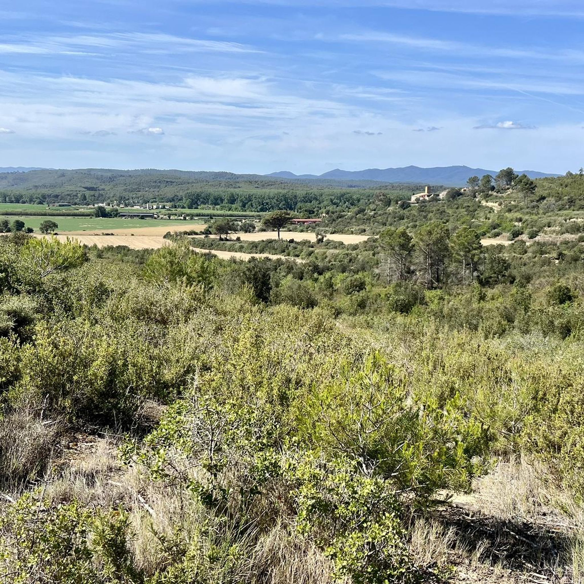
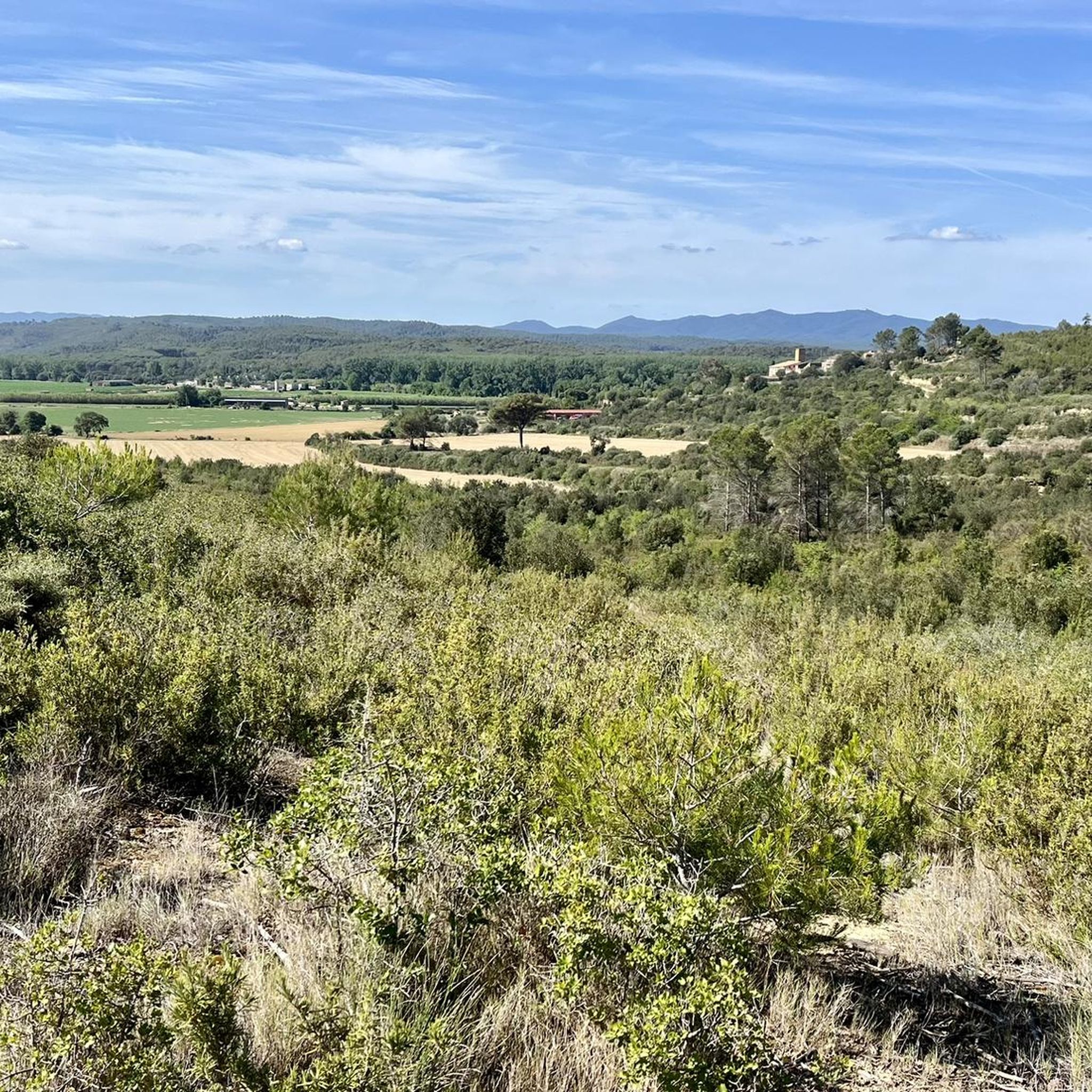
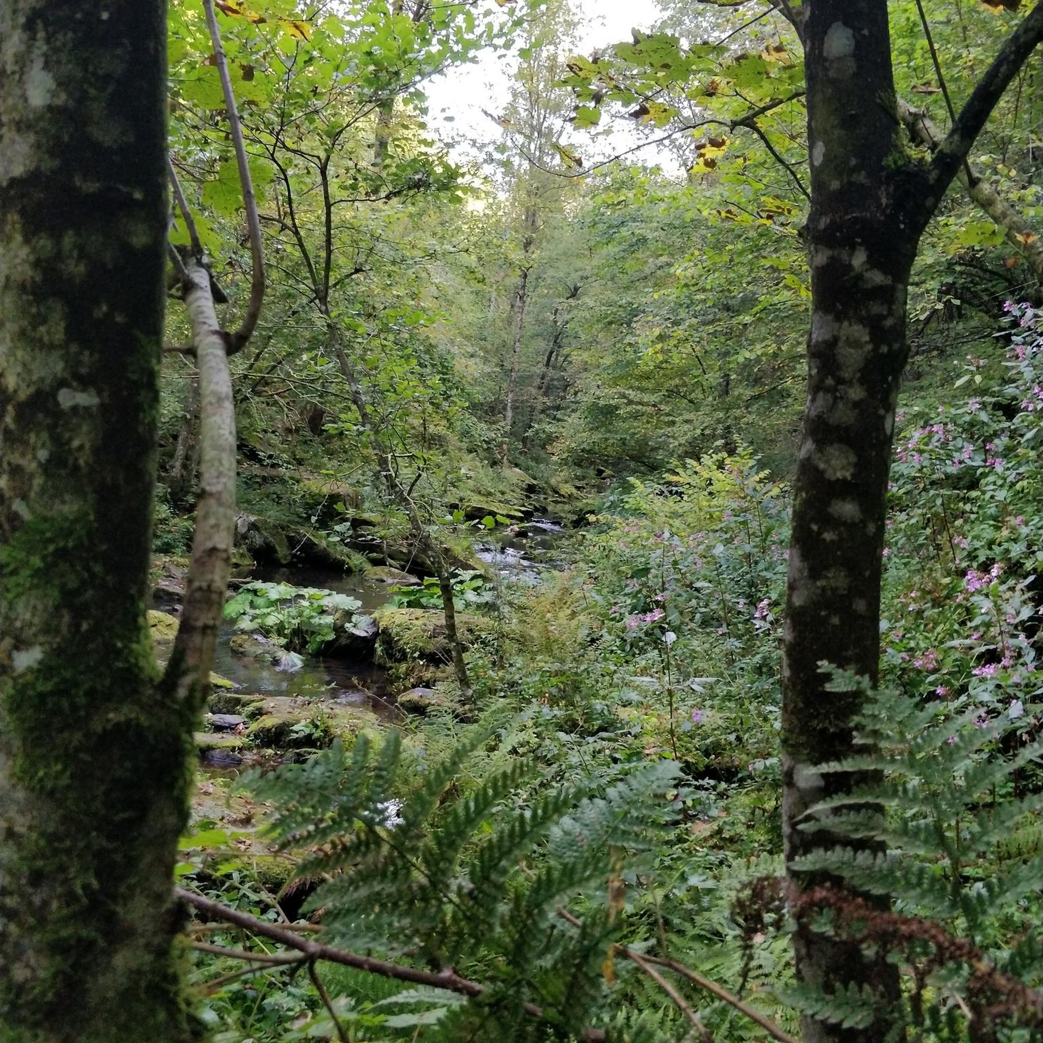
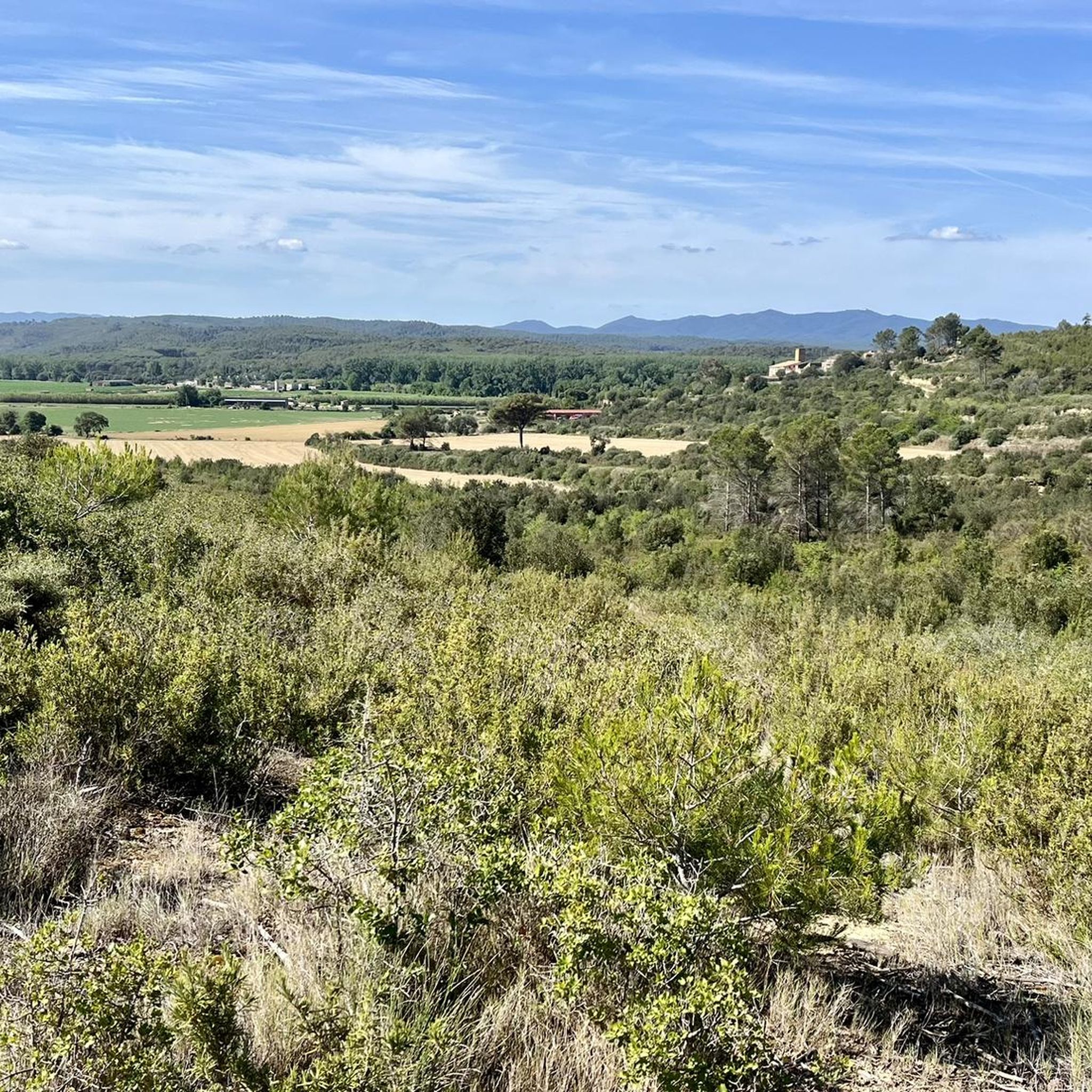
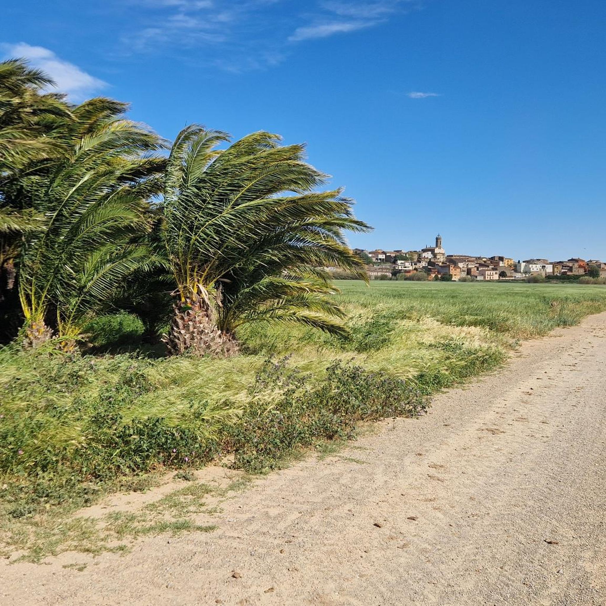
Tips from the Community

Great place to cross the river Ter. Definitely worth a visit when planning your bike ride. Gravelbike, MTB and even a normal bike will do. Take time to enjoy the nature here. The sound of the flowing water is very soothing.
0
0

Without time to look closely at the dam, passing the river through it was in itself a pleasant experience.
0
0

For a moment I imagined that a flock of pterodactyls appeared, like Jurassic Park III! ;)
1
0

Locally sourced produce, specialising in grilled food. Steak was good!
0
0

In this portion you will feel far from Spain. Enjoy these jungle-like paths.
1
0


Pedestrian/bicycle bridge (formerly dam) over the River Ter, open 24 hours a day
2
0

This small dam acts as a footbridge to cross the River Ter near the town of Colomers.
0
1
Frequently Asked Questions
How many hiking trails are available in Colomers?
Colomers offers a wide array of hiking experiences, with over 100 routes available. These range from easy strolls to more challenging mountain ascents, catering to various fitness levels. You'll find approximately 33 easy routes and 68 moderate routes to explore.
What kind of terrain can I expect when hiking in Colomers?
The terrain in Colomers is primarily defined by its stunning glacial landscape. Expect to encounter numerous pristine glacial lakes (estanhs), high and steep mountain peaks, and large blocks of granite scattered throughout. Trails are generally well-marked, but some areas can be slippery when wet. The surrounding areas also feature diverse landscapes of pastures, meadows, forests, and rivers.
Are there any circular hiking routes in Colomers?
Yes, Colomers is well-known for its circular routes, many of which originate from the Colomers Mountain Shelter. These loops connect various glacial lakes within the cirque. For example, you could try the moderate Colomers Dam Footbridge – Gravel El Romaniyar loop or the Restaurante El Xalet – Roman Road loop, both offering scenic circular paths.
What are some notable natural features or landmarks to see while hiking in Colomers?
The most prominent feature is the Colomers Glacier Cirque, which holds nearly 50 glacial lakes. Key lakes include Estanh Major de Colomèrs, Estany Mort, Estanh Obago, and Estanh Long. You'll also see impressive mountain peaks like Gran Tuc de Colomers (2,933 meters). Beyond the cirque, you can explore the ancient Thermal Waters of Jafre or the Centenary Oak of the Ter Riverside.
What do other hikers say about the trails in Colomers?
The routes in Colomers are highly rated by the komoot community, with an average score of 4.3 stars from over 130 reviews. Hikers often praise the spectacular scenery, the well-marked paths, and the diverse range of experiences from lake circuits to alpine routes.
Are there any easy hikes suitable for beginners or those looking for a less strenuous walk?
Yes, Colomers offers several easy routes. An example is the Colomers Dam Footbridge – Gravel El Romaniyar loop from Sant Jordi Desvalls, which is an easy 6.3 km path. While many routes require good fitness, there are options designed for a more relaxed pace, allowing you to enjoy the stunning landscapes without significant technical difficulty.
Is there accommodation available directly on the trails?
Yes, the Colomers Mountain Shelter (Refugi de Colomèrs) is a significant attraction for hikers. It provides accommodation and meal services, serving as a convenient base for exploring the glacial cirque and its numerous lakes. Many circular routes start from this shelter.
What is the best time of year to hike in Colomers?
Colomers is best enjoyed in good weather and visibility to fully appreciate its spectacular scenery. While the region offers diverse landscapes, the high mountain environment means that conditions can change. Summer and early autumn generally provide the most favorable conditions for hiking, with trails being more accessible and views clearer.
Are there historical sites or castles near Colomers that I can visit?
Yes, beyond the natural beauty, there are historical points of interest. You can visit the ancient Bahns de Tredós, known for their sulphurous healing waters. Additionally, nearby castles such as Castell de Palagret or Bellcaire Castle offer a glimpse into the region's past.
How can I get more information about the Colomers region?
For more detailed information about hiking and attractions in the Val d'Aran and Colomers area, you can visit the official tourism website. Specifically, you might find these pages helpful: Hiking in the Val d'Aran by the Lake Circus of Colomers or Route: The 7 Lakes of Colomers.
What are the typical elevation changes on trails in Colomers?
While specific routes vary, the Colomers region features high and steep mountain peaks, with many exceeding 2,500 meters. Even moderate routes can involve significant elevation gain and loss, though some easier trails, like the Restaurante El Xalet – Colomers Dam Footbridge loop, have more gentle ascents and descents, around 70 meters.
Most popular attractions around Colomers

Get inspired with the komoot mobile app


Explore more
Browse the best Hikes in other regions.
