The best running trails around Quintanavides
6
runners
4
runs
Jogging routes around Quintanavides traverse a varied landscape in the Spanish province of Burgos, situated at an elevation of 825 meters. The region features elevated páramos, including Monte Pelado, which offers expansive views. To the south, the foothills of the Montes de Oca introduce mixed forests of oak and beech trees, providing shaded trails. The Cerratón River also adds riparian landscapes, contributing to the area's natural diversity.
Best jogging routes around Quintanavides
- The most popular jogging route is Santorcaz and…
Last updated: May 16, 2026
2
runners
11.7km
01:35
330m
330m
This difficult 7.2-mile (11.7 km) jogging route ascends to San Torcaz from Santuario de Doña Casilda, gaining 1097 feet (334 metres).
1
runners
14.2km
01:40
300m
290m
Hard run. Very good fitness required. Mostly paved surfaces. Suitable for all skill levels.

Sign up for free
1
runners
13.8km
01:37
320m
320m
Hard run. Very good fitness required. Mostly paved surfaces. Suitable for all skill levels.
Our route recommendations are based on thousands of hikes, rides, and runs completed by other people on komoot.
Start today with a free account
Your next adventure awaits.
Login or Signup
Tips from the Community


Rodilla Monastery. Church of Saint Mary Magdalene
1
1

Just off the N-1 road you come to the Monasterio de Rodilla, a small town with a 12th century church.
1
0

Surrounded by nature, this sanctuary pays homage to Santa Casilda, a local saint. Its impressive architecture and serene atmosphere create a space conducive to reflection and devotion. Undoubtedly one of the most spectacular architectural monuments in the region.
1
0

The paths that reach the set of wells in the area are beautiful and full of nature. Paths that lead to what used to be waters with healing properties, along with the sanctuary that is a few meters away.
0
0
Starting from Briviesca and taking the local road we arrive at Revillalcón. On a rock stands the sanctuary. Below there are some springs that the people call wells and that have given their name to the sanctuary.
0
0
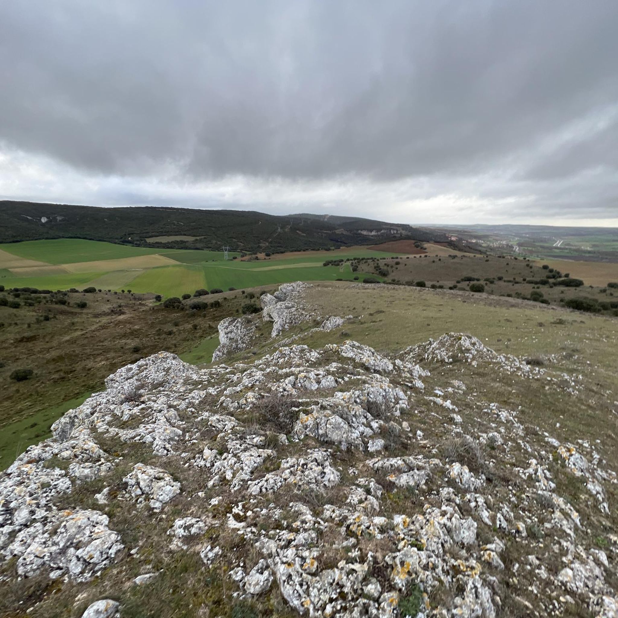
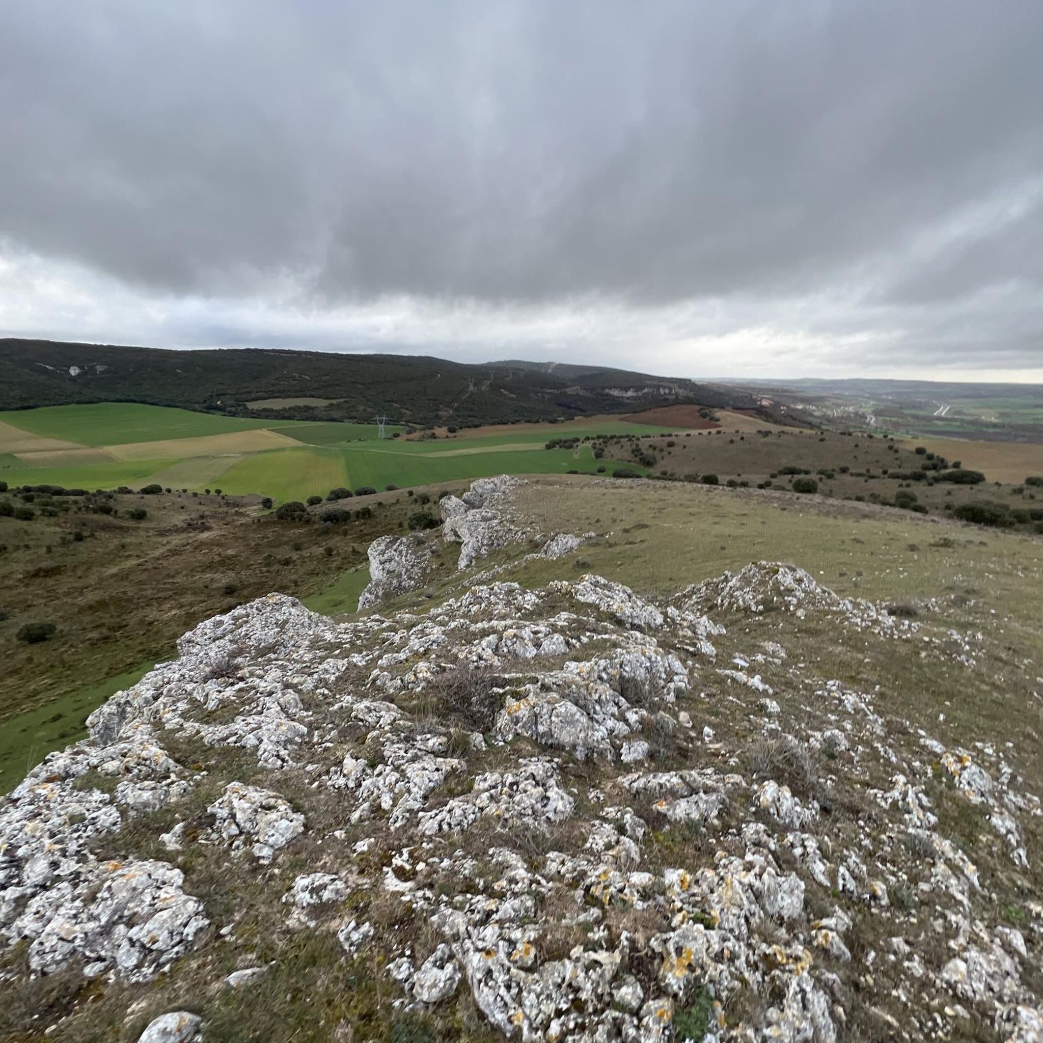
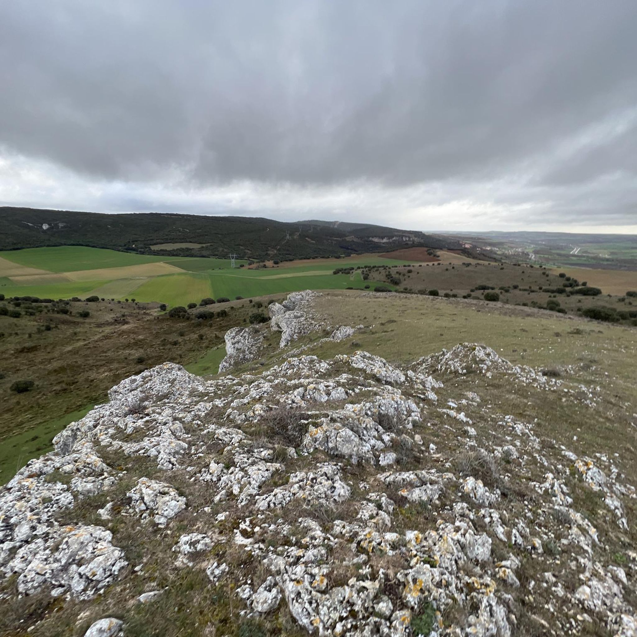
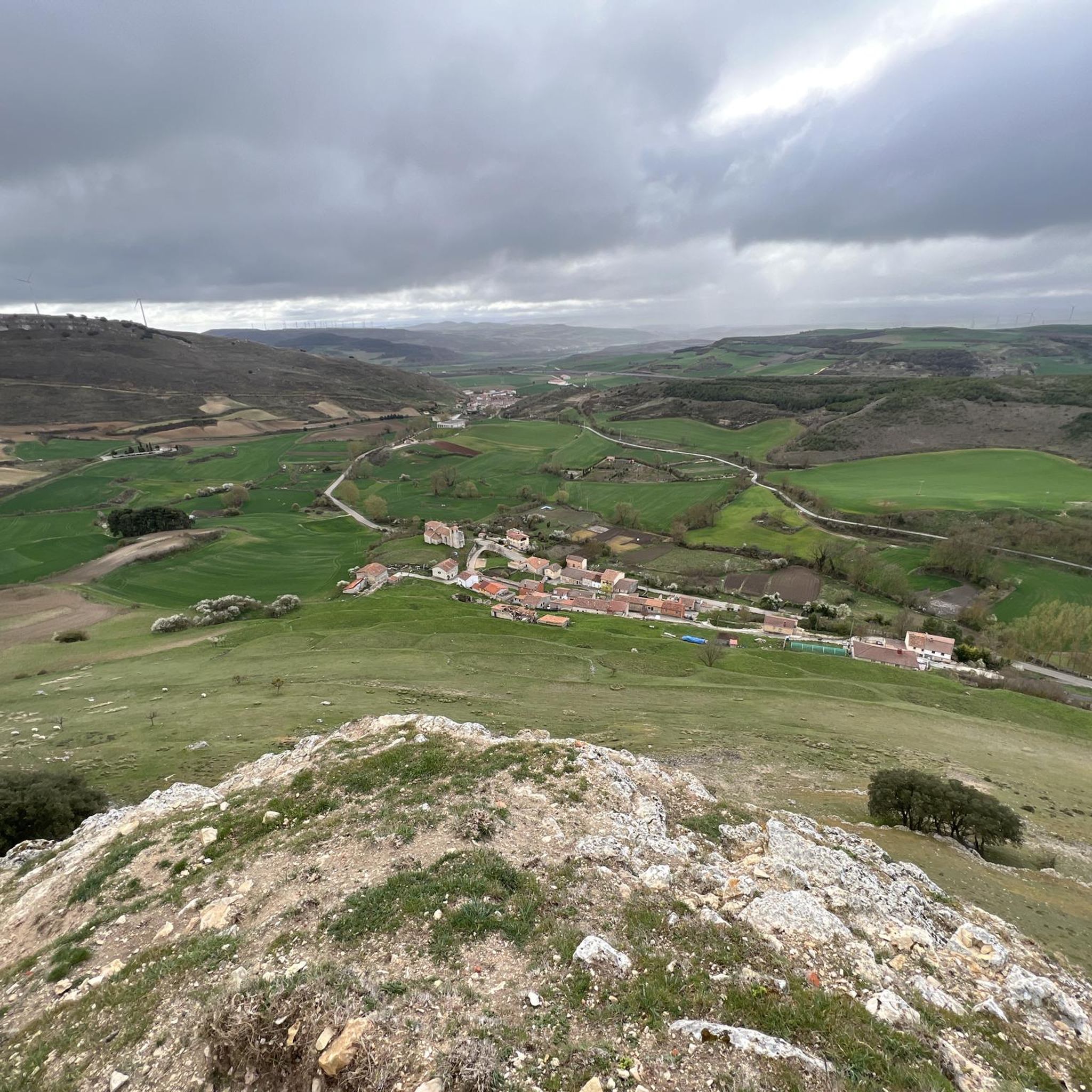
From the top of the peak of San Torcaz, you can see the entire panorama of the Valle de las Navas, to the west of the same mountain.
0
0

Due to popular beliefs, curative properties are attributed to the Pozo Negro de Santa Casilda. The area recovered by the Friends of Santa Casilda is the perfect place to rest for a while before going up to the Sanctuary.
3
0
Frequently Asked Questions
What kind of terrain can I expect on jogging routes in Quintanavides?
Jogging routes around Quintanavides offer a diverse landscape. You can expect elevated páramos, such as those near Monte Pelado, providing expansive views and potentially undulating terrain. To the south, the foothills of the Montes de Oca feature mixed forests of oak and beech, offering shaded trails. Additionally, the Cerratón River traverses the area, providing riparian landscapes with flatter sections.
Are there running routes with significant elevation changes for a challenging workout?
Yes, Quintanavides offers several routes with notable elevation changes. For example, the Santorcaz and Santa Casilda Loop includes over 330 meters of ascent. Another challenging option is the Running loop from Monasterio de Rodilla, which features over 315 meters of elevation gain through rolling hills.
How many running routes are available in Quintanavides?
There are at least 4 dedicated jogging routes around Quintanavides detailed in this guide, offering a variety of experiences for runners. These routes range from moderate to difficult in terms of challenge.
Are there any moderate or easy jogging options in Quintanavides?
While many routes offer a good challenge, there are options for varying skill levels. The Santorcaz and Santa Casilda Loop is considered a moderate option, exploring the local countryside. For a potentially easier experience, the region research suggests a 6.4 km loop connecting the Hermitage of Our Lady of the Valley and Santa Maria Magdalena Church, which could be a gentler jogging choice.
Can I find shaded trails for running in Quintanavides?
Absolutely. The foothills of the Montes de Oca, located to the south of Quintanavides, are characterized by mixed forests of oak and beech trees. Jogging through these areas will provide shaded trails, which can be particularly pleasant during warmer weather.
Are there circular running trails in Quintanavides?
Yes, many of the running routes in Quintanavides are circular, allowing you to start and end at the same point. Examples include the Santorcaz and Santa Casilda Loop and the Murals of Reinoso loop from Reinoso de Bureba, both designed for a continuous running experience.
What are some longer distance running trails in the area?
For those looking for longer runs, the Murals of Reinoso loop from Reinoso de Bureba is an excellent choice, covering approximately 14.2 km. Another substantial option is the Running loop from Monasterio de Rodilla, which is about 13.8 km long.
What can I see along the jogging routes in Quintanavides?
Beyond the natural beauty of páramos, forests, and river landscapes, you can encounter several points of interest. Nearby attractions include the historic Monastery and Church of Saint John of Ortega, and the Artistic Oasis of the Camino de Santiago. These offer cultural and historical insights as you explore the region.
Are there any specific natural features to look out for while running?
Yes, the region is rich in natural features. You'll experience the open, elevated páramos, particularly to the north, offering expansive views. The mixed forests of the Montes de Oca provide a different sensory experience with their ancient trees. The Cerratón River also adds a calming presence with its riparian landscapes, perfect for a refreshing run.
What do other runners enjoy the most about jogging in Quintanavides?
Runners often praise the varied terrain and natural beauty of Quintanavides. The mix of elevated moorlands, shaded forests, and riverside paths provides a dynamic and engaging experience. The routes are well-regarded for showcasing the best of the region's diverse landscape.
Are there any routes that follow the Cerratón River?
The Cerratón River traverses the municipal territory of Quintanavides, adding riparian landscapes to the area's natural diversity. While specific routes directly along the entire river aren't detailed in this guide, you can expect sections of trails to run alongside or near the river, offering flatter terrain and scenic views of the water.
Most popular attractions around Quintanavides

Get inspired with the komoot mobile app


Explore more
Browse the best Running Trails & Routes in other regions.
