The best road cycling routes around National Park Hoces del Cabriel
5.0
(7)
390
riders
30
rides
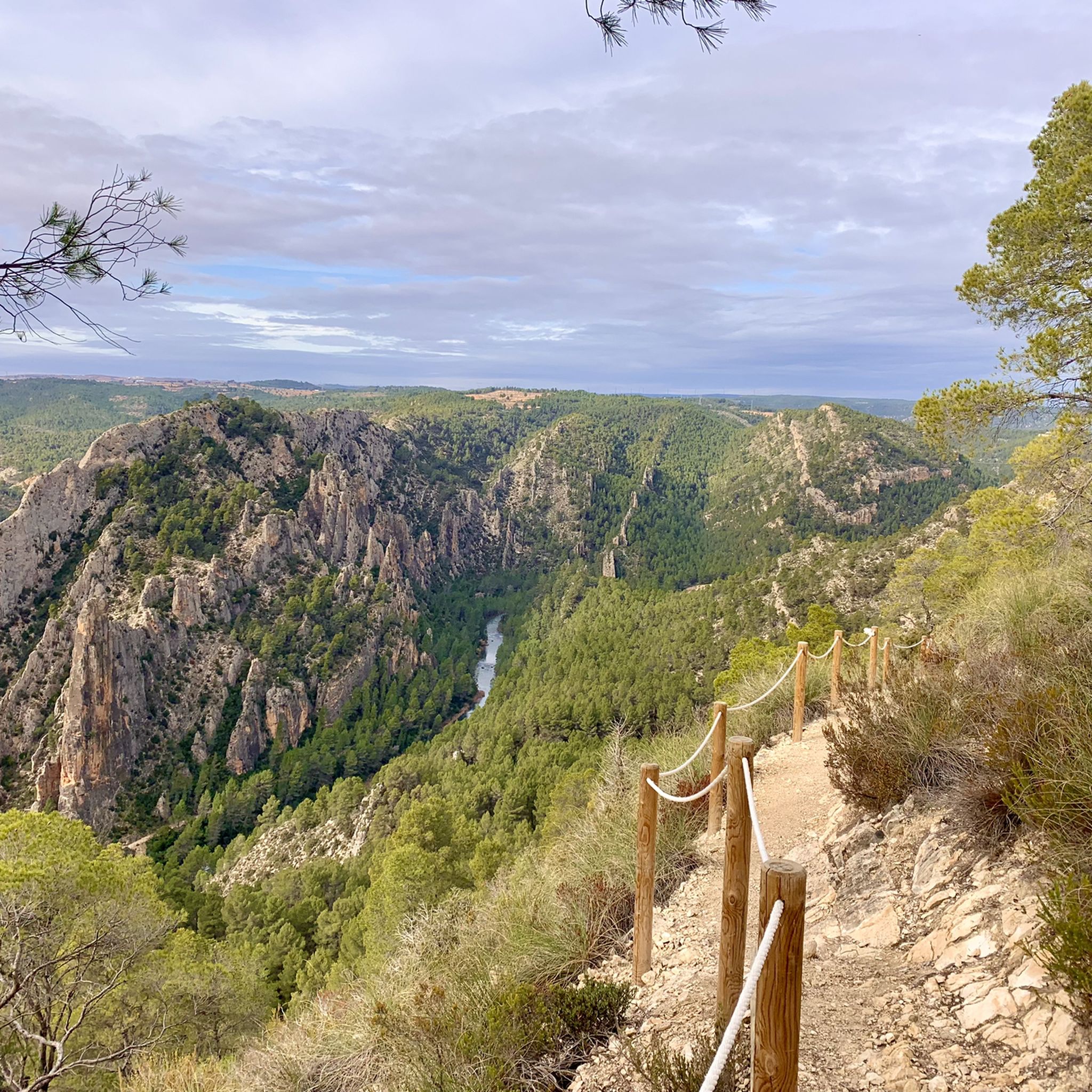
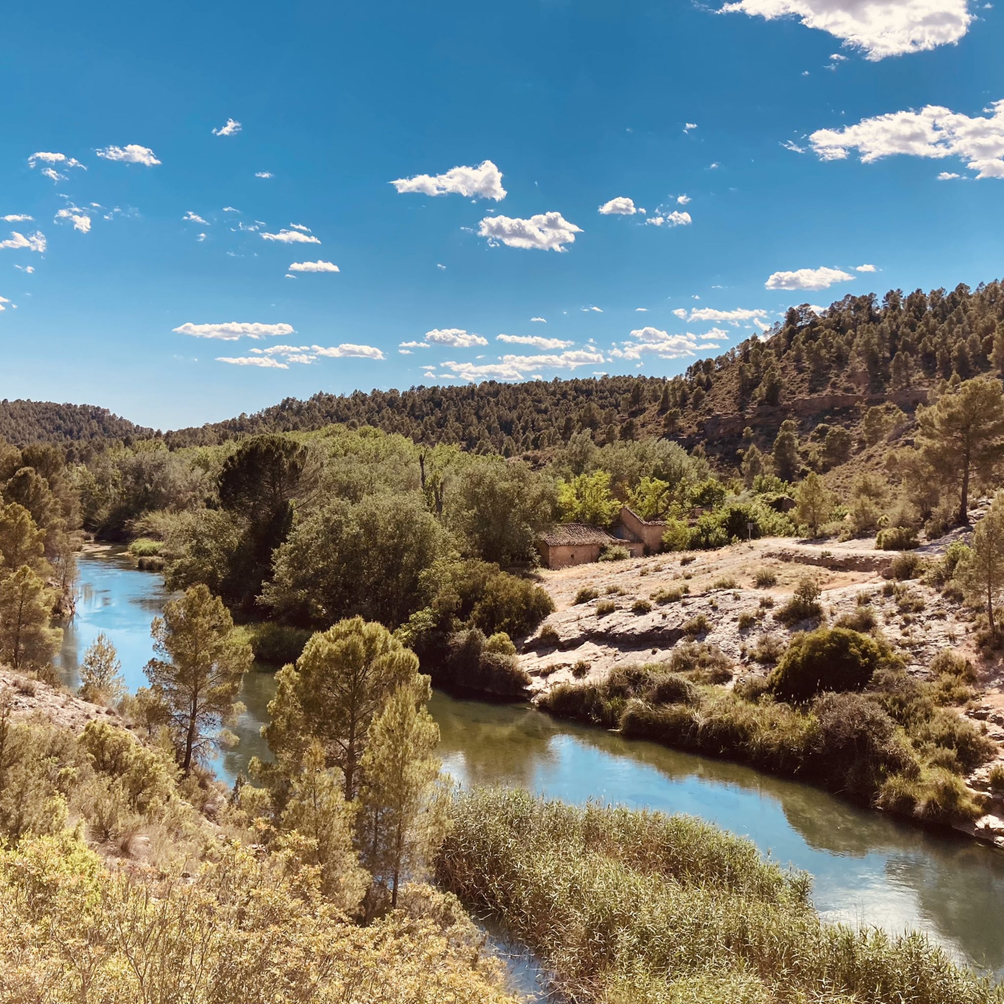
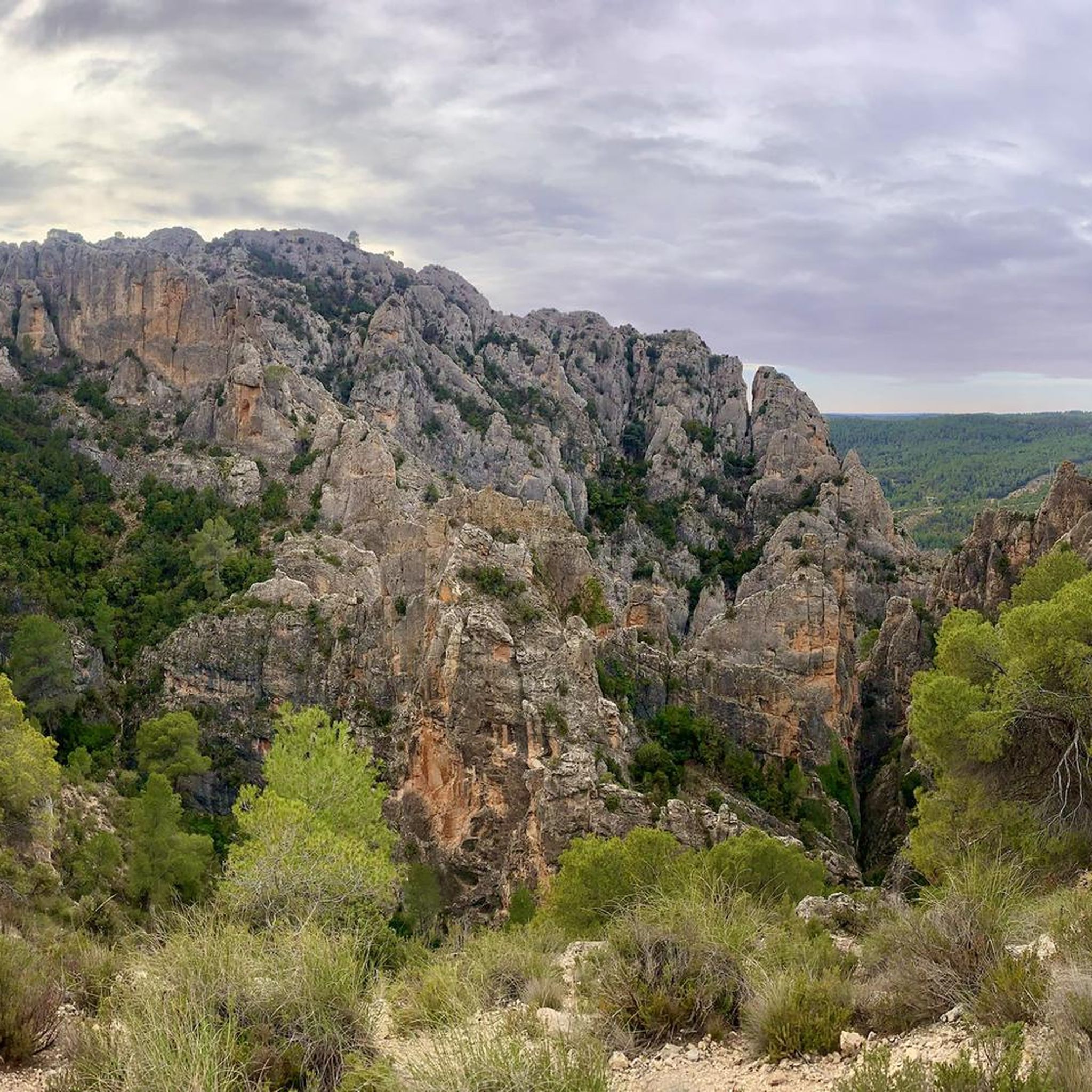
Road cycling routes around National Park Hoces del Cabriel traverse a landscape defined by the dramatic gorges and meanders of the Cabriel River, forming a natural border between the Valencian Community and Castilla-La Mancha. The terrain features striking limestone formations, such as "Los Cuchillos" of Contreras, and elevated viewpoints offering panoramic vistas. Road cyclists encounter varied topography, from riverside paths to roads winding through valleys and along the Contreras Reservoir, providing a mix of gradients and challenges.
Best road cycling…
Last updated: May 15, 2026
5.0
(1)
19
riders
29.9km
01:39
610m
610m
Moderate road ride. Good fitness required. Mostly well-paved surfaces and easy to ride.
19
riders
Moderate road ride. Good fitness required. Mostly well-paved surfaces and easy to ride.

Sign up for free
11
riders
86.9km
04:29
1,070m
1,070m
Hard road ride. Very good fitness required. Some segments of this route may be unpaved and difficult to ride.
5.0
(1)
17
riders
93.6km
04:47
1,210m
1,210m
Hard road ride. Very good fitness required. Mostly well-paved surfaces and easy to ride.
16
riders
58.0km
02:37
670m
670m
Moderate road ride. Good fitness required. Mostly well-paved surfaces and easy to ride.
Get access to more routes and recommendations from other explorers.
Sign up for free
Already have an account?
Our route recommendations are based on thousands of hikes, rides, and runs completed by other people on komoot.
Start today with a free account
Your next adventure awaits.
Login or Signup
Popular around National Park Hoces del Cabriel

GR 238 Tierra del Vino - A journey on foot through lands of silence
Hiking around National Park Hoces del Cabriel
MTB Trails around National Park Hoces del Cabriel
Cycling around National Park Hoces del Cabriel

Gravel biking around National Park Hoces del Cabriel
Running Trails around National Park Hoces del Cabriel
Other adventures around National Park Hoces del Cabriel

Tips from the Community

Fresh water running... it says nothing, so I assume it's fit for human consumption...
0
0
Starting at the roundabout on the outskirts of Utiel, it's 11.5 km to climb 460m, which leaves an average gradient of 4%, where we have the first 6km with 150m at 2.5% to warm up the engines (although this part is busier), and then the last 5.5km which take the prize of the last 310m leaving this section quieter from cars, but with an average of 5.6% which also, gets steeper as it progresses.
0
0

In the village of Villar de Olmos, there is a traditional fountain with a washhouse that, when built in the early 20th century, was the main source of water for the inhabitants before running water reached the village. It still flows today.
0
0

Viewpoint next to the old N-III highway After passing the engineer's house, a turnoff leads to the viewpoint located above the old N-III highway. Sweeping views of the reservoir from a high, accessible point.
4
0
Hiking: Popular routes, such as the "Engineer's House" trail, offer viewpoints overlooking the reservoir and the Cabriel River gorges. Guided tours: Occasionally, the Hydrographic Confederation and the Villargordo Town Council organize tours and talks in the village of Contreras. Historic roads: The abandoned section of the old N-III highway and the Contreras Hills attract engineering enthusiasts, with their original 20th-century asphalt and signage.
2
0
Contreras Dam (Contreras Reservoir), located on the border between Cuenca and Valencia provinces. It lies between Villargordo del Cabriel (Valencia) and the Cuenca municipalities of La Pesquera, Mira, Enguídanos, and Minglanilla, spanning the Cabriel and Guadazaón rivers. Below the dam is the historic Contreras Bridge, built between 1845 and 1851 by Lucio del Valle, part of the old zigzag mountain pass.
2
0

It was built in 1972 at the confluence of the Cabriel and Guadazaón rivers. The dam height is 129 metres. Its purpose is, among other things, to supply water to the city of Valencia. The Contreras Bridge was built between 1845 and 1851 by the engineer Lucio del Valle. To descend the ravine, he had to build a zigzag road that formed the port of Contreras.
1
0
It was built in 1972 at the confluence of the Cabriel and Guadazaón rivers. The dam height is 129 metres. Its purpose is, among other things, to supply water to the city of Valencia. The Contreras Bridge was built between 1845 and 1851 by the engineer Lucio del Valle. To descend the ravine, he had to build a zigzag road that formed the port of Contreras.
1
0
Frequently Asked Questions
What kind of terrain can I expect when road cycling in National Park Hoces del Cabriel?
Road cycling in National Park Hoces del Cabriel offers a diverse landscape. You'll encounter roads winding through dramatic gorges, along the Cabriel River, and past impressive limestone formations like "Los Cuchillos" of Contreras. The routes often feature varied topography, from riverside paths to elevated sections with panoramic views, providing a mix of gradients and challenges.
Are there road cycling routes suitable for different skill levels?
Yes, the National Park Hoces del Cabriel offers road cycling routes for various abilities. You can find options ranging from easy to difficult. For instance, there are 17 moderate routes and 18 difficult routes available, ensuring a suitable challenge for most road cyclists.
What are some notable natural features or viewpoints I can see along the road cycling routes?
The park is rich in natural beauty. Along your rides, you can enjoy breathtaking panoramic views from spots like the Peña Azul Viewpoint or the Hoz del Rabo de la Sartén Viewpoint. You'll also pass impressive geological formations such as "Los Cuchillos" of Contreras and the winding meanders of the Cabriel River, often with crystal-clear, turquoise-blue waters.
Are there any historical landmarks or points of interest to explore near the cycling routes?
Yes, the area around National Park Hoces del Cabriel has several points of interest. You might encounter the historic Vadocañas Bridge or the Peñas Blancas Path Trench, which offers a glimpse into the region's past. There's also the Hydraulic Waterwheel and Riverside Park, adding a cultural dimension to the natural surroundings.
What is the best time of year to go road cycling in National Park Hoces del Cabriel?
The varied climate of the region means road cycling is enjoyable for much of the year. Spring and autumn generally offer the most pleasant temperatures for cycling, with lush landscapes in spring and vibrant colors in autumn. Summers can be hot, especially in the middle of the day, while winters are milder but can have cooler temperatures.
Are there any long-distance road cycling routes available?
Yes, for those seeking longer rides, there are several options. A challenging example is the El Negrete Pass loop from Villargordo del Cabriel, which spans over 126 kilometers and includes significant elevation gain, making it suitable for experienced long-distance cyclists.
Can I find circular road cycling routes in the park?
Many of the road cycling routes in National Park Hoces del Cabriel are designed as loops, allowing you to start and finish at the same point. For example, the popular Contreras Viewpoint loop from Villargordo del Cabriel is a moderate 29.7 km circular route offering great views.
What do other road cyclists say about their experience in National Park Hoces del Cabriel?
The road cycling routes in National Park Hoces del Cabriel are highly rated by the komoot community, with an average score of 5.0 stars. Cyclists often praise the dramatic gorges, the winding Cabriel River, and the impressive limestone formations, along with the elevated viewpoints that provide scenic breaks.
Is there parking available for road cyclists in National Park Hoces del Cabriel?
While specific designated cycling parking areas are not detailed, many routes, especially those starting from towns like Villargordo del Cabriel, will have general parking facilities available for visitors to the park. It's advisable to check local parking options in the starting villages.
Are there any family-friendly road cycling routes in the area?
While many routes involve varied terrain and elevation, there are options that could be considered more accessible. For instance, among the 36 routes, at least one is classified as easy, which might be more suitable for families or those looking for a less strenuous ride. Always check the route details for distance and elevation before setting out with family.
Do I need a permit to cycle in National Park Hoces del Cabriel?
Generally, no specific permit is required for road cycling on public roads within National Park Hoces del Cabriel. However, as it is a protected natural area, always adhere to local regulations, respect the environment, and stay on marked roads. For detailed information on park rules, you can consult official sources like Visit Valencia or Spain.info.
Are there any challenging road cycling routes for experienced riders?
Absolutely. For experienced riders seeking a challenge, National Park Hoces del Cabriel offers 18 routes classified as difficult. An example is the Villargordo del Cabriel – Los Cárceles Village loop from Villargordo del Cabriel, a 85.9 km trail with over 1000 meters of elevation gain, typically completed in about 4.5 hours.
Most popular routes around National Park Hoces del Cabriel
Most popular attractions around National Park Hoces del Cabriel

Get inspired with the komoot mobile app


Explore more
Browse the best Road cycling routes in other regions.
