The best walks and hikes around National Park Hoces del Cabriel
4.8
(74)
425
hikers
35
hikes
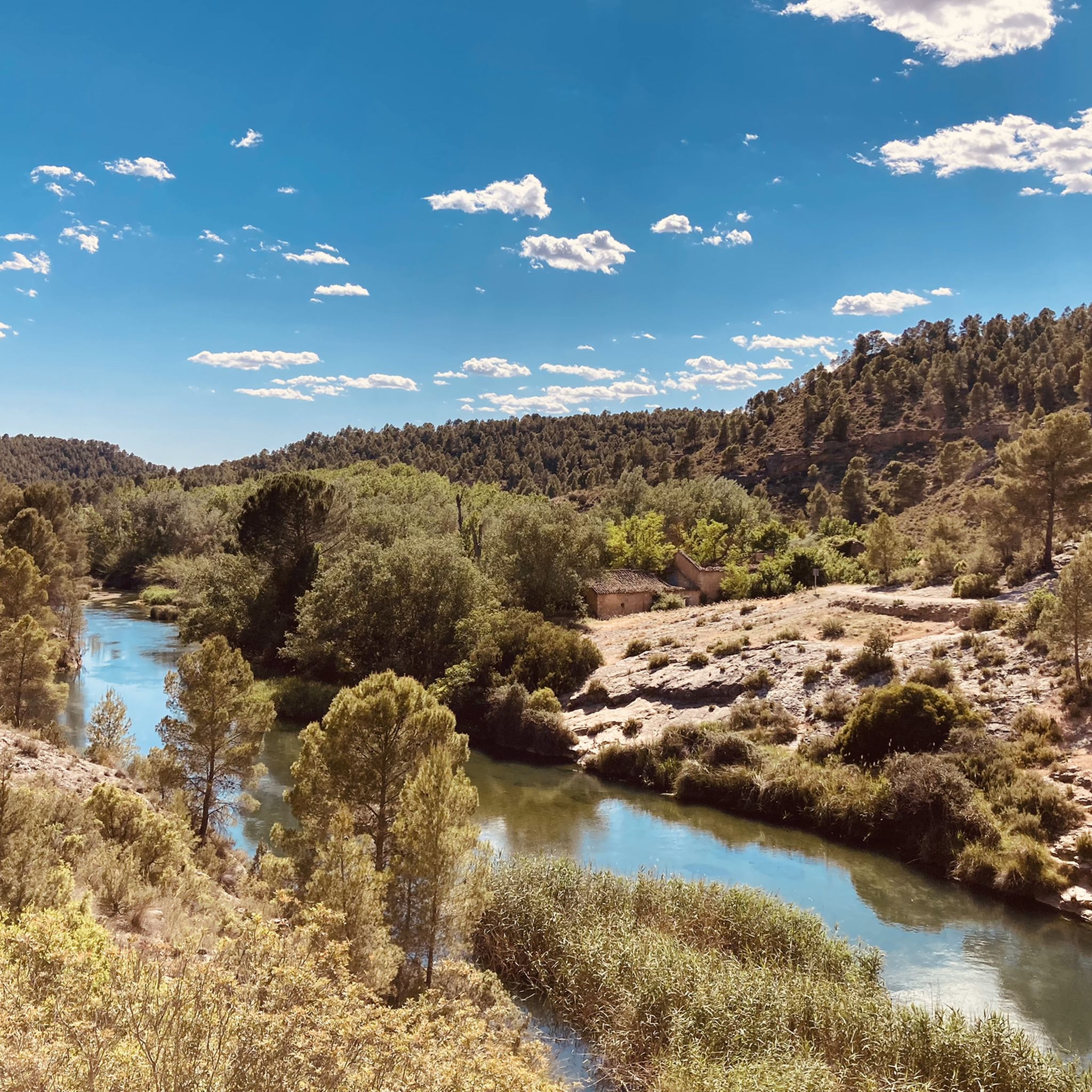
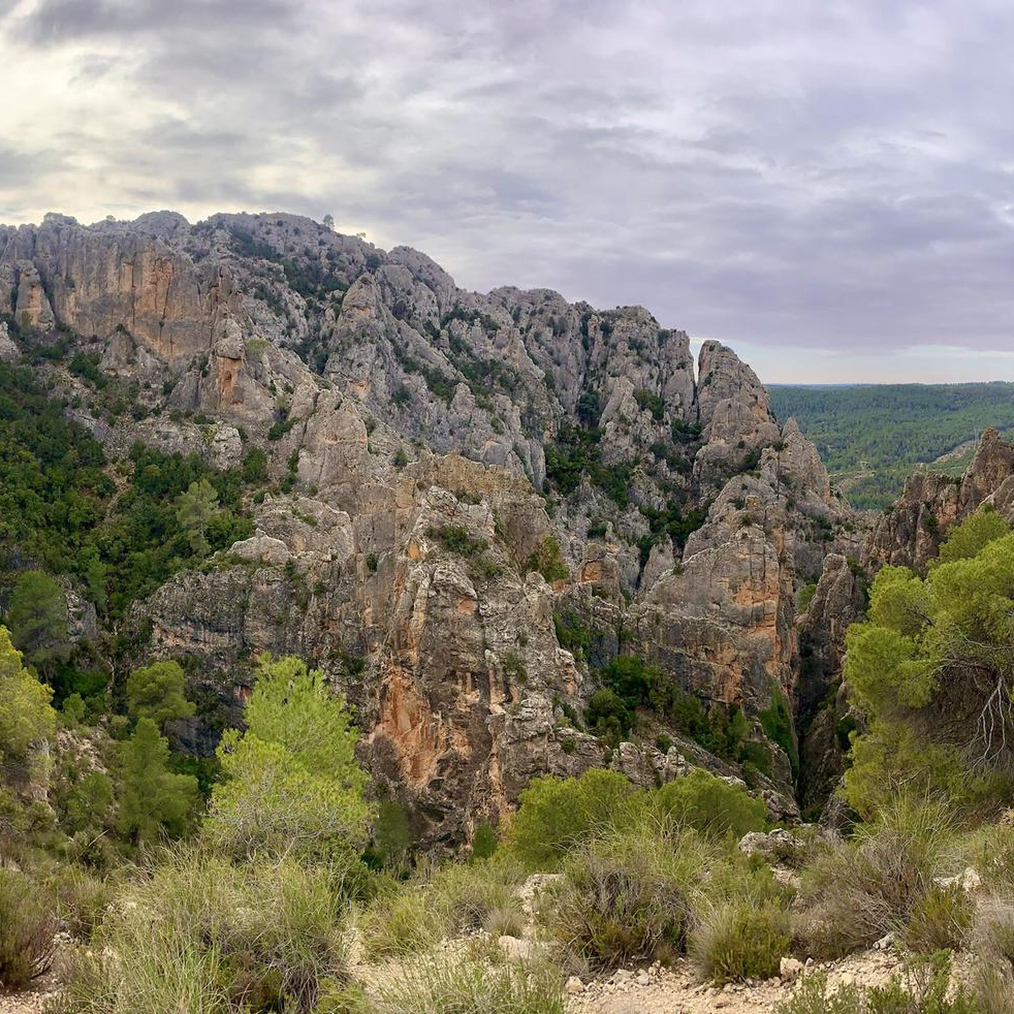
Hiking around National Park Hoces del Cabriel reveals a landscape shaped by the Cabriel River, forming dramatic gorges and vertical stone ridges. This protected area, the largest in the Valencian Community, features impressive geological formations like "Los Cuchillos de Contreras." The park's diverse terrain includes well-preserved riparian woodlands along the river and offers panoramic views from strategic viewpoints such as Peñas Blancas.
Best hiking trails in National Park Hoces del Cabriel
- The most popular hiking route is Cuchillos de Contreras…
Last updated: May 10, 2026
4.8
(24)
82
hikers
5.99km
01:47
190m
190m
Hike the Parque Natural de las Hoces del Cabriel to see Los Cuchillos and Barranco Moluengo, featuring dramatic geological formations.
4.2
(5)
49
hikers
6.38km
01:42
60m
60m
Hike the easy 4.0-mile Los Cuchillos del Cabriel Trail to see unique knife-like rock formations and river views in Hoces del Cabriel Natural

Sign up for free
4.6
(5)
24
hikers
Moderate hike. Good fitness required. Mostly accessible paths. Sure-footedness required.
3
hikers
22.8km
06:43
650m
650m
Hard hike. Very good fitness required. Easily-accessible paths. Suitable for all skill levels.
4.3
(3)
9
hikers
7.64km
02:12
180m
180m
Moderate hike. Good fitness required. Easily-accessible paths. Suitable for all skill levels.
Get access to more routes and recommendations from other explorers.
Sign up for free
Already have an account?
Our route recommendations are based on thousands of hikes, rides, and runs completed by other people on komoot.
Start today with a free account
Your next adventure awaits.
Login or Signup
Popular around National Park Hoces del Cabriel

GR 238 Tierra del Vino - A journey on foot through lands of silence
MTB Trails around National Park Hoces del Cabriel
Road Cycling Routes around National Park Hoces del Cabriel
Cycling around National Park Hoces del Cabriel

Gravel biking around National Park Hoces del Cabriel
Running Trails around National Park Hoces del Cabriel
Other adventures around National Park Hoces del Cabriel

Tips from the Community

Hiking: Popular routes, such as the "Engineer's House" trail, offer viewpoints overlooking the reservoir and the Cabriel River gorges. Guided tours: Occasionally, the Hydrographic Confederation and the Villargordo Town Council organize tours and talks in the village of Contreras. Historic roads: The abandoned section of the old N-III highway and the Contreras Hills attract engineering enthusiasts, with their original 20th-century asphalt and signage.
2
0
Contreras Dam (Contreras Reservoir), located on the border between Cuenca and Valencia provinces. It lies between Villargordo del Cabriel (Valencia) and the Cuenca municipalities of La Pesquera, Mira, Enguídanos, and Minglanilla, spanning the Cabriel and Guadazaón rivers. Below the dam is the historic Contreras Bridge, built between 1845 and 1851 by Lucio del Valle, part of the old zigzag mountain pass.
2
0

It was built in 1972 at the confluence of the Cabriel and Guadazaón rivers. The dam height is 129 metres. Its purpose is, among other things, to supply water to the city of Valencia. The Contreras Bridge was built between 1845 and 1851 by the engineer Lucio del Valle. To descend the ravine, he had to build a zigzag road that formed the port of Contreras.
1
0
The rock breakthrough is simply worth seeing, as is the crystal clear water.
2
0

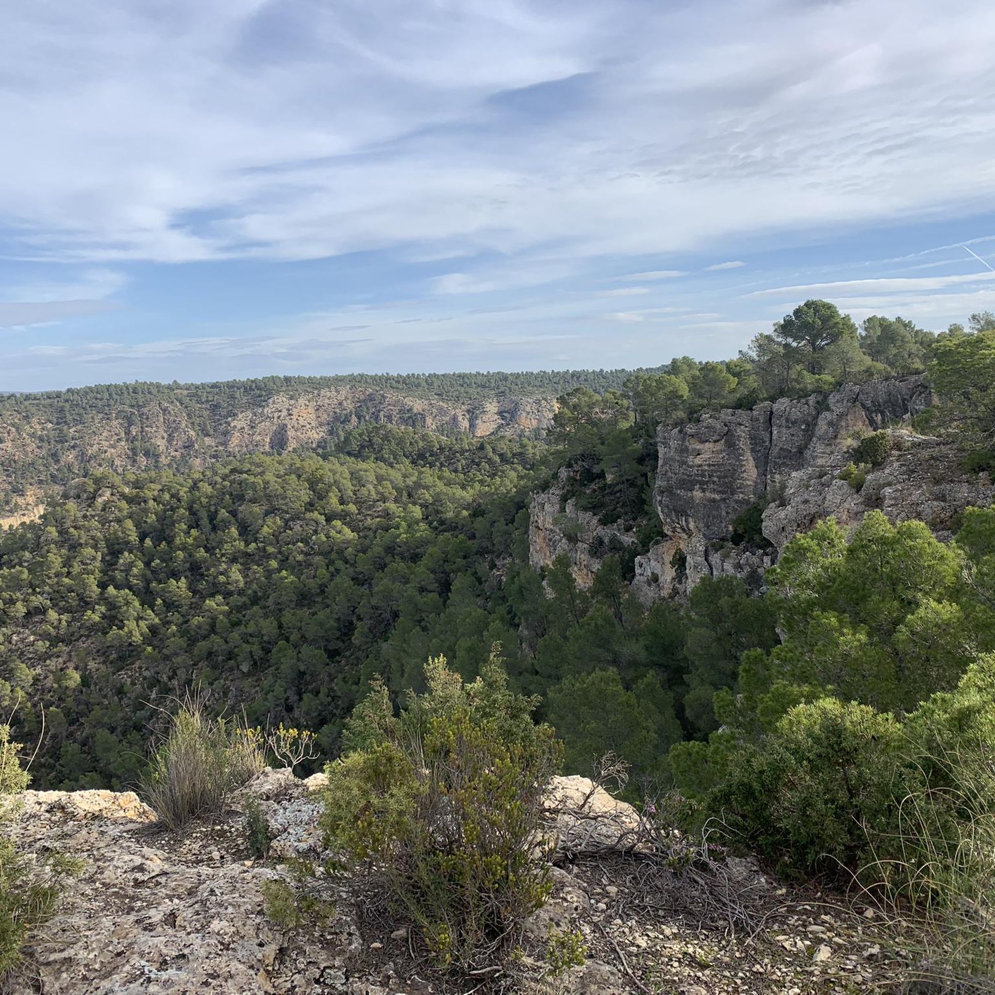
If you go around the Fuente de Oliva counterclockwise (which I recommend), this is the second viewpoint and the first where you can see the Rio Cabriel in the gorges below beautiful cliffs. Continue to the right of the first bench along the cliff, and you will find a second bench and more beautiful views.
1
0
I recommend doing the Fuente de Oliva tour counterclockwise, so the views become more and more beautiful. Here this viewpoint is the first in the series, we see the Rio de Cabriel on the right and the beautiful rocks in the distance on the right. We begin to guess the gorges on the left.
2
0
The path that leads there is without technical difficulty and flat, so there is no reason not to go and see this wonderful place.
0
1

The old Contreras inn, from the 16th century, is located on the traditional wheeled road between Madrid and Valencia. Currently, the hospitality business continues to provide service.
0
0
Frequently Asked Questions
How many hiking trails are available in National Park Hoces del Cabriel?
National Park Hoces del Cabriel offers a diverse network of over 35 hiking trails. These routes cater to various skill levels, ranging from easy strolls to more challenging treks through its unique landscapes.
What is the best time of year to hike in National Park Hoces del Cabriel?
The best time to hike in National Park Hoces del Cabriel is typically during spring (March to May) and autumn (September to November). During these seasons, the weather is milder, and the natural scenery, from lush riparian woodlands to changing foliage, is particularly beautiful. Summers can be very hot, while winters can be chilly, though still suitable for hiking on clear days.
Are there easy hiking trails suitable for beginners or families in National Park Hoces del Cabriel?
Yes, the park has several easy trails perfect for beginners and families. There are 11 easy routes available. A great option is the Cuchillos de Contreras Trail, an easy 6.0 km path that allows you to experience the distinctive vertical ridges without significant effort. Another accessible choice is the Los Cuchillos del Cabriel Trail, an easy 6.4 km route traversing unique geological formations.
Are there challenging hikes for experienced trekkers in National Park Hoces del Cabriel?
For experienced trekkers seeking a challenge, National Park Hoces del Cabriel offers 4 difficult routes. One such demanding option is the Cuchillares de Contreras – La Fonseca Viewpoint loop from Casas Mirasol, a 21.2 km route with significant elevation changes, providing stunning panoramic views of the valley and the Cabriel River.
What natural attractions can I see while hiking in the park?
The park is renowned for its dramatic natural features. You can witness the impressive gorges and vertical ridges, particularly 'Los Cuchillos de Contreras,' sculpted by the Cabriel River. The river itself, with its winding course and well-preserved riparian woodlands, is a central attraction. Don't miss the stunning blue-green waters of the Contreras Reservoir. For breathtaking vistas, visit viewpoints like La Fonseca Viewpoint or Hoz del Rabo de la Sartén Viewpoint.
Are there any historical or cultural landmarks to discover along the trails?
Yes, the landscape is dotted with interesting historical features. You can encounter the majestic Vadocañas Bridge, an ancient construction spanning the river. Other notable sites include the Peñas Blancas Path Trench and the Contreras Trench, which offer glimpses into the region's past.
Can I bring my dog on the trails in National Park Hoces del Cabriel?
Generally, dogs are permitted on trails in National Park Hoces del Cabriel, but it's crucial to keep them on a leash to protect the park's wildlife and natural environment. Always check specific trail regulations before you go, as some sensitive areas might have restrictions.
Are there circular hiking routes in National Park Hoces del Cabriel?
Yes, the park offers several circular hiking routes that allow you to start and end at the same point. A popular option is the Natural Park of the Hoces del Cabriel — Circular via Fuente La Oliva Trail (PR-CV 344), a moderate 14.0 km loop that takes you through diverse Mediterranean vegetation.
What do other hikers enjoy most about National Park Hoces del Cabriel?
The National Park Hoces del Cabriel is highly rated by the komoot community, with an average score of 4.8 stars from over 70 reviews. Hikers frequently praise the incredible views of the geological formations, the tranquility of the river environment, and the diverse scenery that makes each trail unique. Many appreciate the well-preserved natural beauty and the variety of routes available.
Is there parking available at the trailheads in National Park Hoces del Cabriel?
Parking is generally available at designated trailheads and visitor centers within or near National Park Hoces del Cabriel. Specific parking information can often be found on local park maps or by checking the details for individual routes on komoot. It's advisable to arrive early during peak seasons to secure a spot.
How can I reach National Park Hoces del Cabriel by public transport?
Reaching National Park Hoces del Cabriel primarily relies on private vehicle access due to its natural and somewhat remote location. Public transport options are limited, often requiring a combination of regional buses to nearby towns like Requena or Utiel, followed by a taxi or a significant walk to reach specific trailheads. Planning ahead is essential if relying on public transport.
Are there opportunities for wild swimming near the hiking trails?
The Cabriel River is known for its clean waters and offers opportunities for refreshing dips, particularly in areas like Las Chorreras, which is also popular for canyoning. While not directly adjacent to all hiking trails, some routes may pass close to accessible river spots. Always exercise caution and be aware of local regulations regarding swimming.
Most popular routes around National Park Hoces del Cabriel
Most popular attractions around National Park Hoces del Cabriel

Get inspired with the komoot mobile app


Explore more
Browse the best Hikes in other regions.
