The best walks and hikes around Cimanes Del Tejar
4.4
(22)
187
hikers
27
hikes
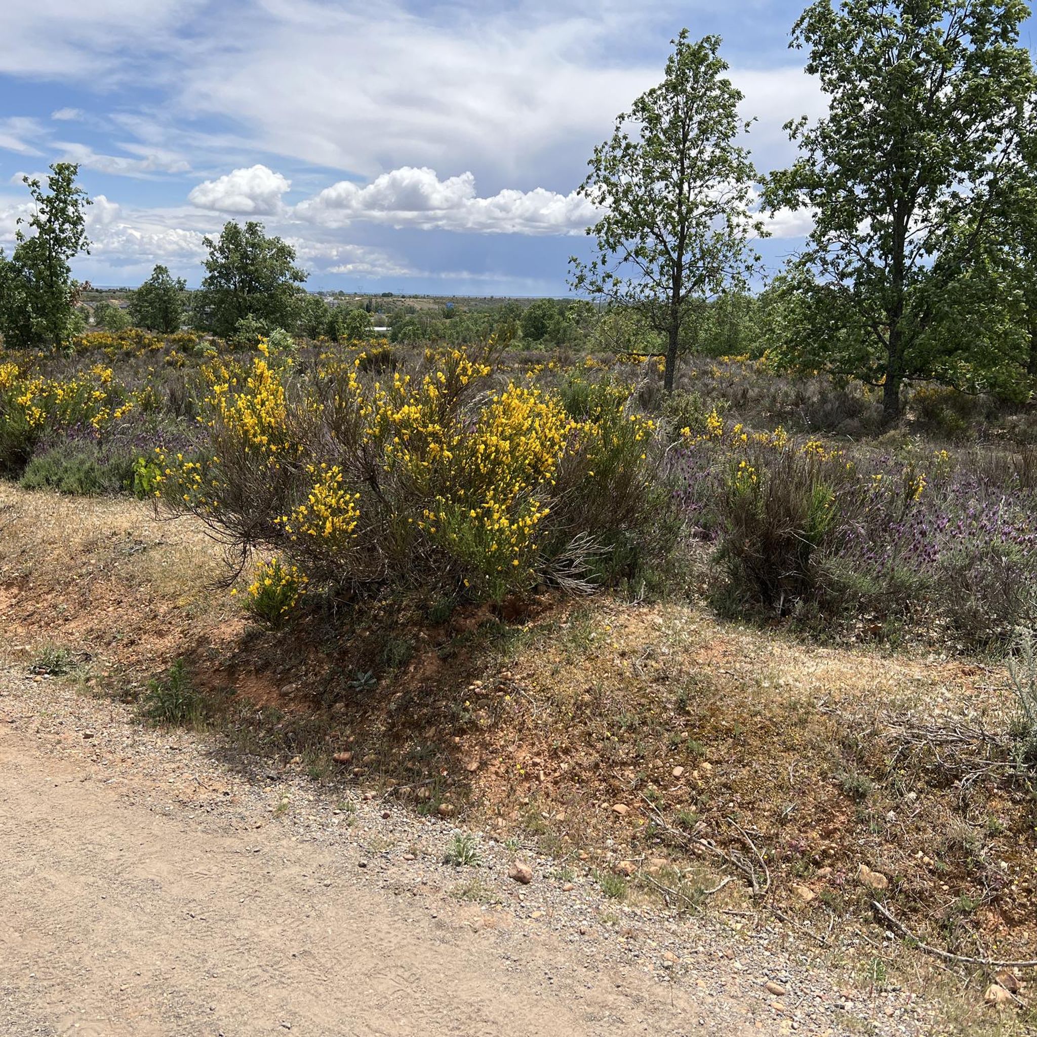
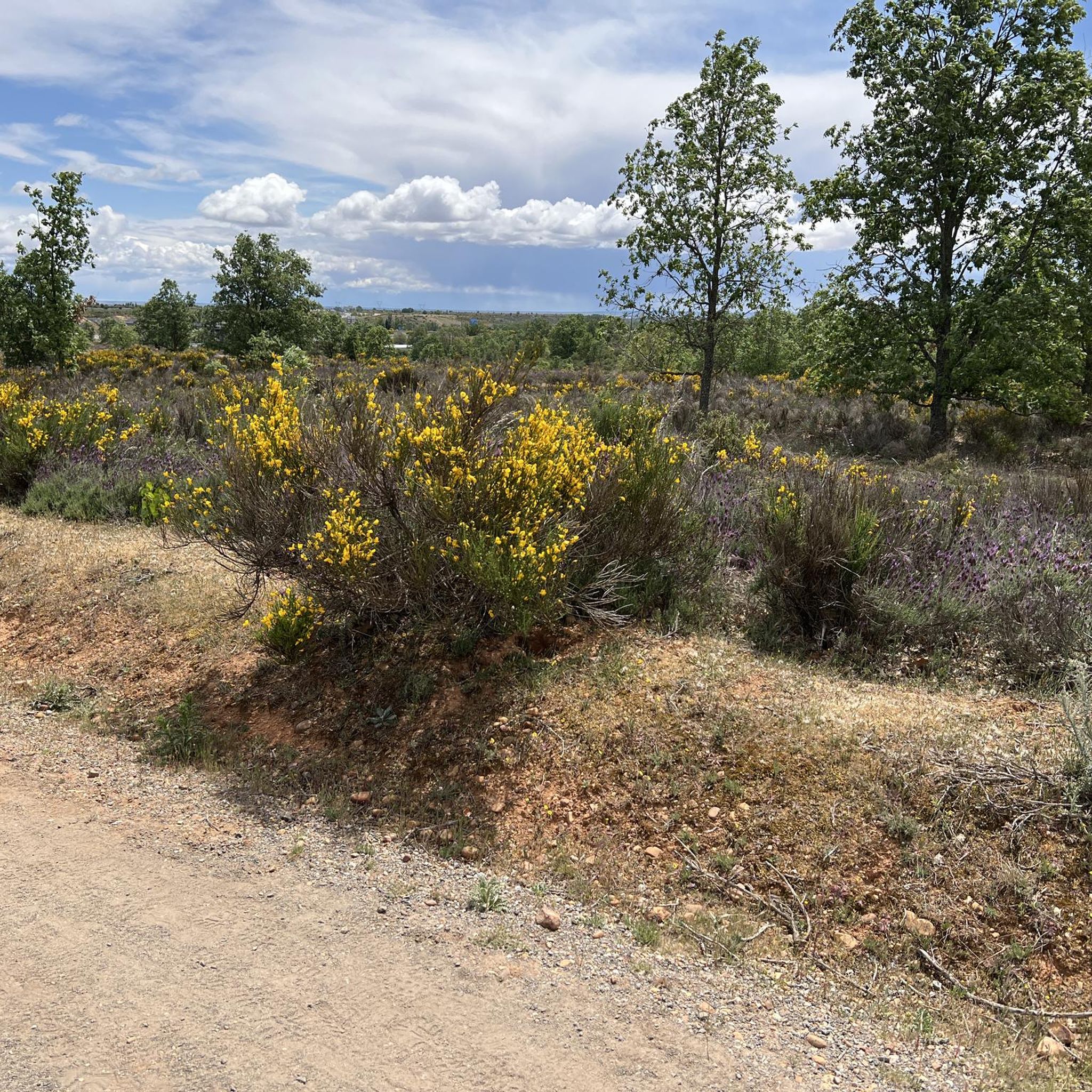
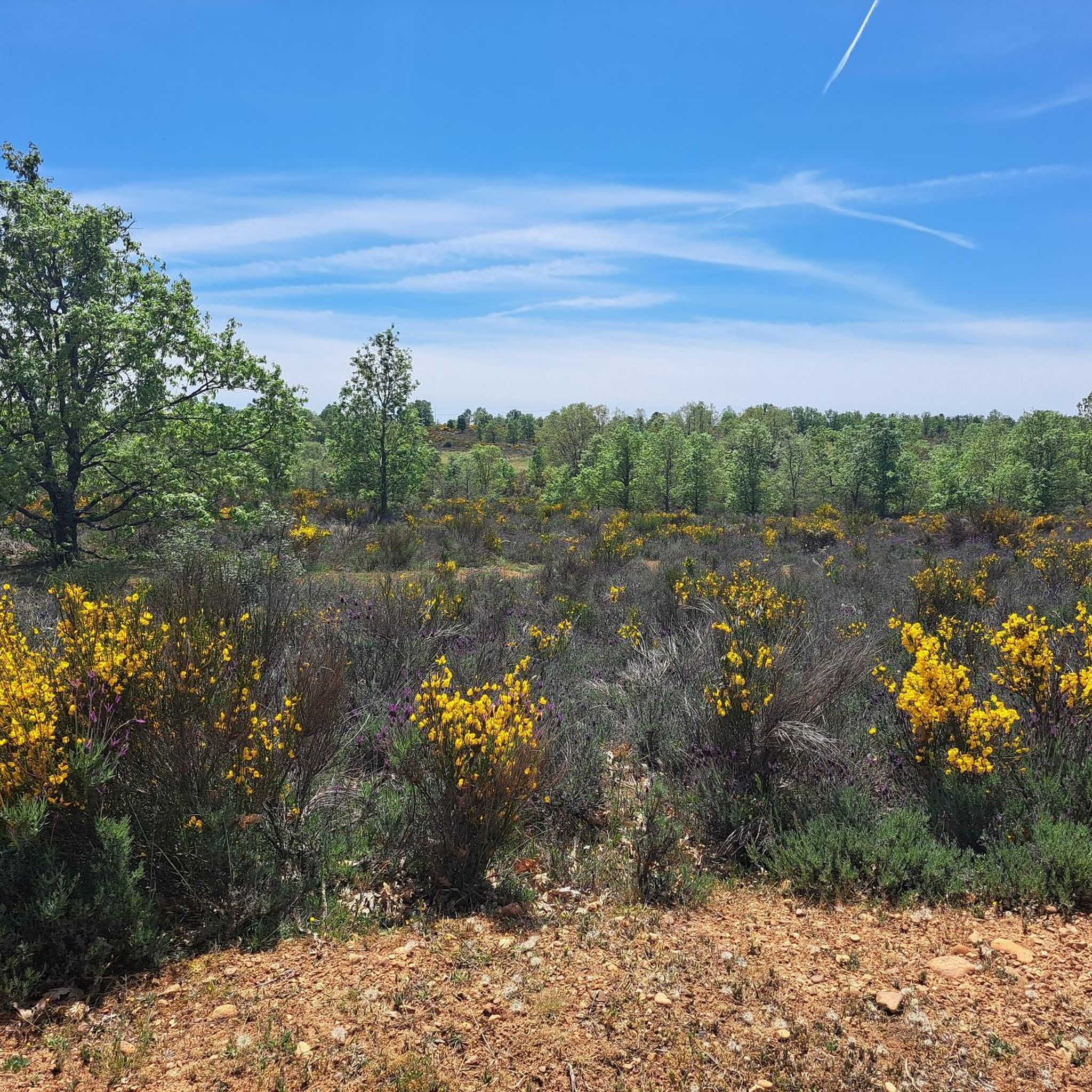
Hiking around Cimanes Del Tejar offers a diverse natural environment, characterized by the confluence of riverbanks, groves, and various forest types, including riparian, deciduous, and Mediterranean. The Río Órbigo is a central feature, shaping valleys and ravines. The landscape also includes steppes and proximity to mountainous terrain, providing varied flora and fauna.
Best hiking trails around Cimanes Del Tejar
- The most popular hiking route is Tierra de Ordás Trail, a 7.5 miles (12.0 km) trail that takes 3 hours…
Last updated: July 31, 2026
3.0
(1)
3
hikers
5.19km
01:32
150m
150m
Easy hike. Great for any fitness level. Easily-accessible paths. Suitable for all skill levels.
3.0
(1)
3
hikers
12.0km
03:23
250m
250m
Moderate hike. Good fitness required. Easily-accessible paths. Suitable for all skill levels.

Sign up for free
1
hikers
Moderate hike. Good fitness required. Easily-accessible paths. Suitable for all skill levels.
4.4
(29)
157
hikers
Hard hike. Very good fitness required. Easily-accessible paths. Suitable for all skill levels.
4.5
(8)
50
hikers
Hard hike. Very good fitness required. Easily-accessible paths. Suitable for all skill levels.
Get access to more routes and recommendations from other explorers.
Sign up for free
Already have an account?
Our route recommendations are based on thousands of hikes, rides, and runs completed by other people on komoot.
Start today with a free account
Your next adventure awaits.
Login or Signup

Tips from the Community

Watch out for the climb they call "of the 100 beers" oof, to die for. The rest is fine.
0
0

Don't miss the storks' nests located on the bell towers at the beginning and end of the bridge. Enjoy good coffee and a Spanish omelet just before crossing it on the right.
1
0
Long, made of stone, and with the memory of eternal passage. Here, time stretches arch by arch, and each crossing feels like a small ritual. You don't need to know anything about the past to feel it: simply roll (or walk) slowly and let the bridge do its work, which isn't to take you to the other side, but to leave you inside for a moment.
1
0

This is an old defensive structure located on the banks of the Órbigo River, now in ruins but of great scenic and historical value. Its remains stand among fields and rural roads, making it a highly recommended stop on MTB or gravel routes in the area. Access is easy via compacted dirt tracks and offers unobstructed views of the León surroundings. Ideal for a short photo break, especially if you're looking to combine leisurely riding with hidden heritage gems.
1
0

Beautiful medieval village known above all for the charming bridge that leads to the village
3
0

The Church of Chozas de Abajo is located in the central square of the town, next to the House of Culture. It is a modern and simple construction, with a bell tower that stands out for its artistic design and breaks with traditional rules. This church is an important landmark in the town and is part of local festivities, such as the Fiestas de San Martín on November 11 and the Fiesta del Verano on August 10.
4
0
The Project - G. San Millán in Villar de Mazarife is a work of art located in this small town in the province of León. This project is known for its magnificent mural that welcomes pilgrims who travel the French Way. The mural is located at the entrance of the town and is one of the highlights for visitors and pilgrims.
2
0
Frequently Asked Questions
What kind of terrain can I expect on hikes around Cimanes del Tejar?
The region offers a diverse natural environment, characterized by the riverbanks of the Río Órbigo, lush groves, and various forest types including riparian, deciduous, and Mediterranean. You'll also find open steppes and proximity to mountainous terrain, providing varied flora and fauna. Routes can range from gentle river paths to mountain trails with moderate elevation changes, such as those found in the Valle de los Morales.
Are there any circular hiking routes in Cimanes del Tejar?
Yes, there are several excellent circular routes. For an easy option, consider Las Miédolas – circular from Las Omañas, which explores the area around Las Omañas with gentle elevation changes. Another moderate circular trail is Laguna de Fuente Blanca by Chozas de Abajo and Villar de Mazarife — by circular by the camino francés, leading through rural landscapes and past the Laguna de Fuente Blanca.
What are some notable natural features or landmarks to see while hiking?
Cimanes del Tejar is rich in natural and historical sights. The Río Órbigo is a central feature, with vibrant riverbanks, valleys, and ravines. You can also explore the Valle de los Morales, a mountain route known for its pastures and springs. Historically, you might encounter remains of Roman gold mining near Villarroquel and the historic Presa Cerrajera (Cerrajera Dam). For specific landmarks, consider visiting the Passo Honroso Bridge or the Church of St John the Baptist, Hospital de Órbigo.
Are there family-friendly hiking options in the area?
Yes, many of the trails are suitable for families. The region offers a good selection of easy walks with gentle terrain, perfect for all ages. For example, the Las Miédolas – circular from Las Omañas is an easy 5.2 km path with minimal elevation, ideal for a family outing. Additionally, the River Beach (Playa Fluvial) on the Órbigo River provides a great spot for relaxation and swimming after a walk.
What is the best time of year to go hiking in Cimanes del Tejar?
Cimanes del Tejar offers pleasant hiking conditions for much of the year. Spring and autumn are particularly ideal, with mild temperatures and beautiful natural scenery. Summer is also popular, especially with the River Beach available for cooling off after a hike. Winters can be cooler, but many trails remain accessible.
How many hiking trails are available in Cimanes del Tejar?
There are around 15 hiking routes available in Cimanes del Tejar, catering to various skill levels. This includes 5 easy routes, 7 moderate routes, and 3 more challenging options, ensuring there's something for everyone.
What do other hikers say about the trails in Cimanes del Tejar?
The hiking routes in Cimanes del Tejar are highly rated by the komoot community, with an average score of 4.3 stars from over 40 reviews. Hikers often praise the diverse natural environment, the peaceful riverbanks of the Río Órbigo, and the well-maintained paths that offer a connection with nature.
Are there any longer or more challenging hikes for experienced hikers?
Yes, for those seeking a more challenging experience, the region offers some longer routes. The Bridge over the Órbigo River – Passo Honroso Bridge loop from San Martín del Camino is a difficult 21.3 km trail that takes approximately 5 hours 25 minutes to complete, offering a substantial adventure along the Órbigo River.
Can I find trails that offer panoramic views?
Absolutely. The Tierra de Ordás Trail is a moderate 12 km route that provides panoramic views from Torre de Ordás, alongside diverse forest scenery. This trail is a great option for those looking to combine a good workout with rewarding vistas.
Are there any trails that follow historical paths or connect villages?
Yes, the region has routes that trace historical paths. The 'Vía Turística Camino Real' is a scenic 5 km route that connects several local villages—Cimanes del Tejar, Azadón, Secarejo, and Villarroquel—along the old Camino Real, offering views of the vegetated valley alongside the Órbigo River. While not a komoot route in this guide, it highlights the historical context of the area's paths.
What are the typical durations for hikes in Cimanes del Tejar?
Hiking durations vary depending on the route and your pace. Easy trails like Las Miédolas – circular from Las Omañas can be completed in under 2 hours. Moderate routes, such as the Tierra de Ordás Trail, typically take around 3 hours 23 minutes. Longer, more difficult hikes can extend to over 5 hours.
Are there any specific attractions near the trails that are worth visiting?
Beyond the trails, you can explore several points of interest. The Passo Honroso Bridge is a significant historical landmark. You might also find the Villar de Mazarife, a charming settlement, or the Monument to the Pilgrim of Villavante interesting. For natural viewpoints, the Alto de la Camparona offers elevated perspectives.
Most popular attractions around Cimanes Del Tejar

Get inspired with the komoot mobile app


Explore more
Browse the best Hikes in other regions.
