The best walks and hikes around Santa Colomba De Curueño
4.7
(24)
274
hikers
13
hikes
Hiking trails around Santa Colomba De Curueño traverse a landscape characterized by the tranquil Curueño River Valley and varied mountainous terrain within the province of León, Spain. The region offers diverse topography, from riverine paths to higher altitude routes, providing a range of outdoor experiences. Hikers can explore areas featuring rich flora, including pine forests, and encounter historical sites integrated into the natural environment.
Best hiking trails in Santa Colomba De Curueño
- The most popular hiking route is Mina Bardaya…
Last updated: October 5, 2026
4.0
(4)
12
hikers
9.44km
02:33
120m
120m
Hike the moderate Mina Bardaya Greenway, a 5.9-mile route featuring historical landmarks like the Roman Bridge of Villalfeide and varied gre
7
hikers
Moderate hike. Good fitness required. Easily-accessible paths. Suitable for all skill levels.

4.8
(8)
79
hikers
8.46km
02:29
240m
240m
Moderate hike. Good fitness required. Easily-accessible paths. Suitable for all skill levels.
5.0
(2)
14
hikers
13.3km
04:08
440m
440m
Moderate hike. Good fitness required. Mostly accessible paths. Sure-footedness required.
27
hikers
7.53km
02:47
490m
490m
Moderate hike. Good fitness required. Easily-accessible paths. Suitable for all skill levels.
Get access to more routes and recommendations from other explorers.
Already have an account?
Our route recommendations are based on thousands of hikes, rides, and runs completed by other people on komoot.
Start today with a free account
Your next adventure awaits.
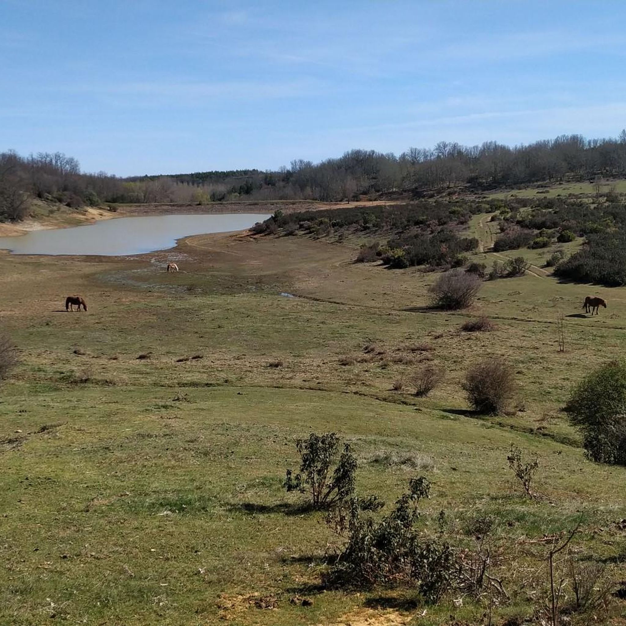
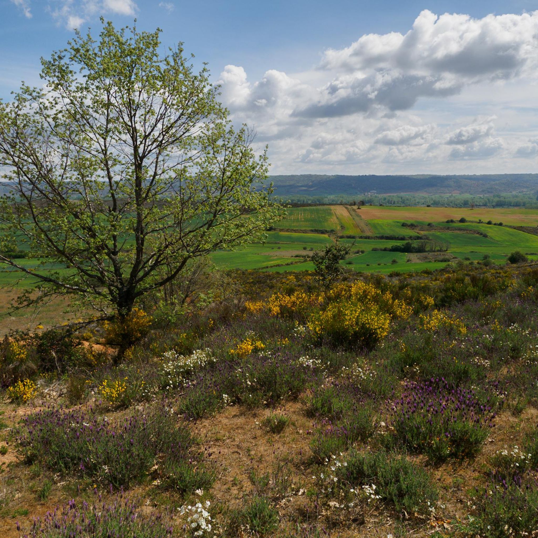
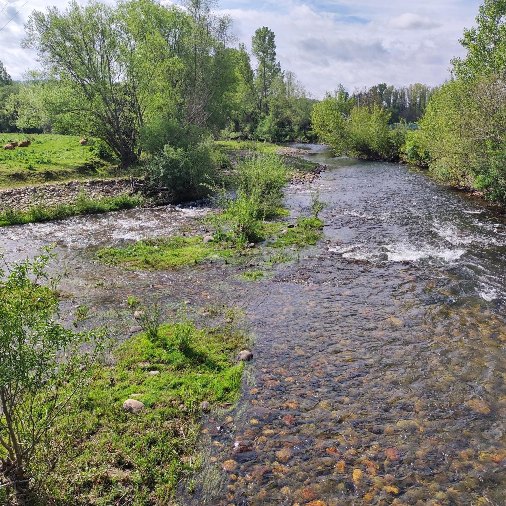
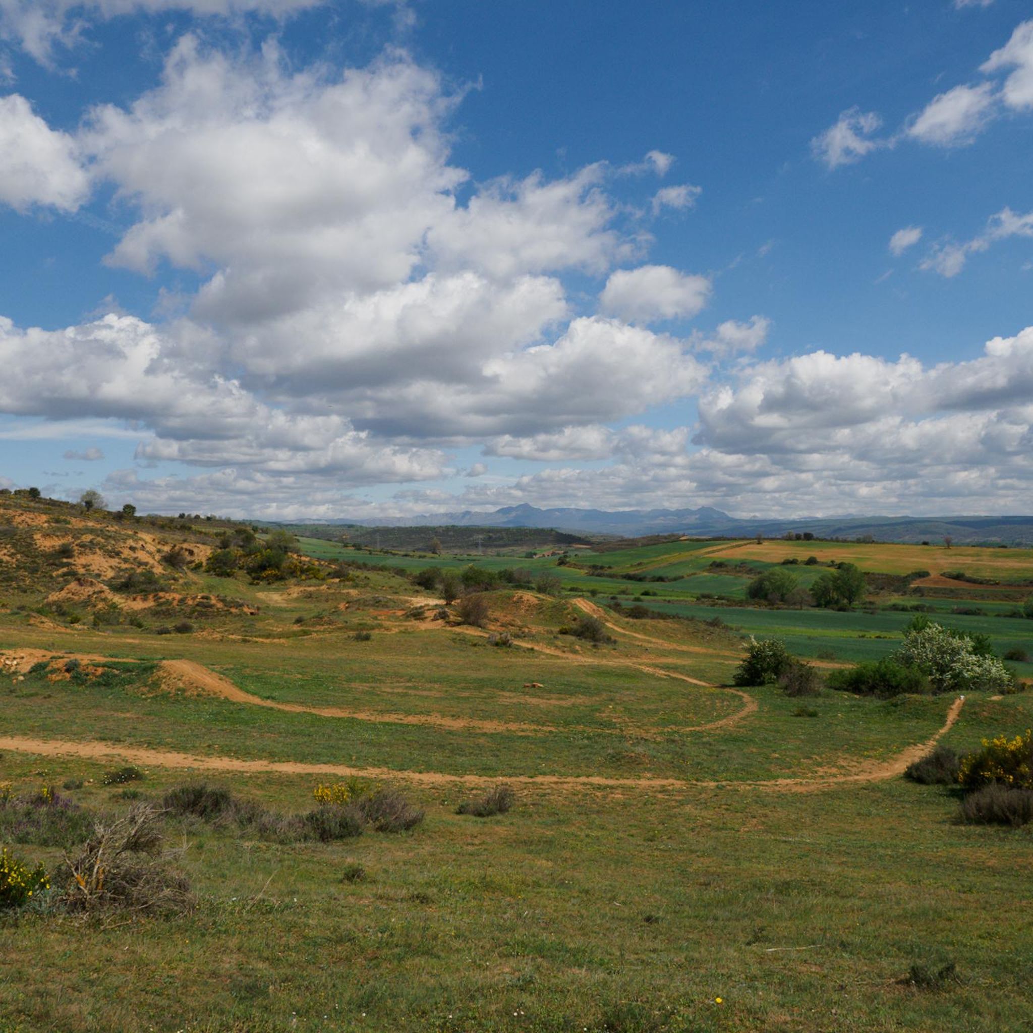
Tips from the Community


Nocedo Waterfall, also known as Cola de Caballo Waterfall, is one of the most accessible and spectacular natural spots in the Central León Mountains, located near Nocedo de Curueño, in the municipality of Valdepiélago. Approximately 4 meters high, it was formed by the Valdecésar stream as it negotiates a steep drop on its way to the Curueño River.
4
0

Course with only a few delicate passages, otherwise smooth and fun. The views are exceptional.
1
0

It is 50 meters from the road. It is accessed by some footbridges. Bike on the shoulder Please be calm: be discreet
0
0

Also known as Cascada de Valdecesar or Cola de Caballo, it has become popular in recent times. Easily accessible if we park the car on the side of the road or if we are more adventurous, we can do the route from Valdorria through the Forest of Fairies or Támbore, where we must go carefully if we go in rainy or winter seasons due to to icy and/or slippery areas.
2
1
From this point, approaching the Torío river, we have a magnificent image of the Roman bridge next to a small waterfall.
2
0
Near a beautiful Roman bridge we find the cement works and the church of Villalfeide, a good example of rural religious architecture.
2
0
Frequently Asked Questions
How many hiking trails are available in Santa Colomba De Curueño?
There are 9 hiking routes recorded in Santa Colomba De Curueño on komoot, offering a variety of experiences from moderate loops to more challenging ascents. These trails traverse the tranquil Curueño River Valley and varied mountainous terrain.
Are there easy hiking routes suitable for beginners in Santa Colomba De Curueño?
Yes, Santa Colomba De Curueño offers 3 easy hiking routes. These trails are generally shorter and have less elevation gain, making them ideal for beginners or those looking for a relaxed walk. One example is the Palacio de los Álvarez-Acevedo – Torreón de La Vecilla loop from La Vecilla de Curueño, which is 4.8 miles long and takes about 2 hours.
What is the best time of year to go hiking in Santa Colomba De Curueño?
The region experiences cold winters and mild summers, making it an appealing destination year-round. Summer offers pleasant temperatures ideal for outdoor pursuits. Autumn is particularly highlighted for its vibrant mountain colors, while winter brings snow, adding a unique beauty to the scenery.
Are there any circular hiking routes in the area?
Yes, several circular routes are available. A popular choice among local hikers is Pico del Águila, Faedo de Orzonga y Refugio Cimero – circular desde Solana de Fenar, a moderate 5.4-mile path exploring mountainous areas with panoramic views. Another option is the Palacio de los Álvarez-Acevedo – Torreón de La Vecilla loop from La Vecilla de Curueño.
What kind of natural features can I expect to see on the trails?
Hikers can expect to encounter diverse natural beauty. The trails often follow the tranquil Curueño River Valley and wind through mountainous landscapes. The flora is rich, with blue gentians, narcissus, mallows, violets, and pine forests. During rainy seasons, a lagoon can be seen along the longer route towards Alto de Trapa.
Are there any historical landmarks or attractions along the hiking routes?
Yes, the region is rich in history. A notable attraction is the restored San Salvador Castle, an ancient Templar enclave, and the 16th-century Hermitage of Santa Ana, both located on the site of the old castle. The Palacio de los Álvarez-Acevedo – Torreón de La Vecilla loop passes by historical architectural elements. Other sites include the 17th-century Hermitage of Santo Cristo and the Romanesque church of Barrio de Nuestra Señora.
What do other hikers enjoy most about hiking in Santa Colomba De Curueño?
The area is highly rated by the komoot community, with an average score of 4.75 stars from over 15 reviews. Hikers often praise the varied terrain, from river valleys to mountainous scenery, and the diverse flora. The integration of historical sites within the natural environment is also a highlight for many.
Are there any waterfalls to see while hiking?
Yes, the Nocedo Waterfall is a notable natural attraction in the vicinity of Santa Colomba De Curueño, offering a beautiful sight for hikers.
What are the typical distances and durations for hikes in this region?
Hikes in Santa Colomba De Curueño vary in length and duration. For instance, the Mina Bardaya Greenway is 5.8 miles (9.4 km) and takes about 2 hours 32 minutes, while a more challenging route like the Hiking loop from Cerezales del Condado stretches to 14 miles (22.5 km) and can take over 6 hours.
Are there any specific gorges or unique geological features to explore?
Yes, the Curueño Gorge and Valdepiélago Bridges offer a distinctive geological feature to explore, providing impressive natural settings and scenic views.
Can I find trails that offer panoramic views?
Absolutely. Routes that explore mountainous areas, such as Pico del Águila, Faedo de Orzonga y Refugio Cimero – circular desde Solana de Fenar, often provide impressive panoramic views of the surrounding landscapes. The longer route towards Alto de Trapa is also known for its extensive vistas.
Are there any literary-themed routes in the area?
Yes, for those interested in literary connections, there are 'literary routes' available. One such route follows the path described by writer Julio Llamazares in his novel 'El río del olvido', offering a unique way to experience the landscape.
Most popular routes around Santa Colomba De Curueño
Most popular attractions around Santa Colomba De Curueño

Get inspired with the komoot mobile app


Explore more
Browse the best Hikes in other regions.
