The best mountain hikes around El Pont De Vilomara I Rocafort
9
hikers
2
hikes
Mountaineering routes around El Pont de Vilomara i Rocafort are situated adjacent to the Sant Llorenç del Munt i l'Obac Natural Park, a rocky mountain massif. The region features rugged mountainous formations, dramatic limestone cliffs, and rocky peaks, with prominent summits like La Mola (1,104.2 meters) and Montcau (1,056.8 meters). The terrain is characterized by conglomerate rock, deep valleys, and abundant holm oak and pine forests, with the Llobregat river also present.
Best mountaineering routes around El Pont de Vilomara i Rocafort
- The most popular mountaineering route is Mountaineering loop from Sant Llorenç del Munt, a 2.8 miles (4.5 km) trail that takes 2 hours 19 minutes to complete. This difficult route offers ascents within the natural park's challenging environment.
- Another top favourite among local mountaineers is Collbaix loop from Sant Joan de Vilatorrada, a moderate 1.9 miles (3.1 km) path. This route provides views of the surrounding landscape and is suitable for those with moderate skills.
- Local mountaineers also love the Els Degotalls – Roca dels Corbs loop from Monistrol-Vila, a 7.0 miles (11.3 km) trail leading through rugged mountainous formations, often completed in about 4 hours 12 minutes.
- Mountaineering around El Pont de Vilomara i Rocafort is defined by rugged mountainous formations, limestone cliffs, and dense holm oak and pine forests. The network offers options for different ability levels, from moderate paths to more challenging ascents.
- The routes in El Pont de Vilomara i Rocafort are highly rated by the komoot community with an average score of 4.0 stars from 1 review. More than 20 mountaineers have used komoot to explore El Pont de Vilomara i Rocafort's varied terrain.
Last updated: October 5, 2026
4
hikers
4.53km
02:17
400m
400m
Hard mountaineering route. Good fitness required. Sure-footedness, sturdy shoes and alpine experience required.
3
hikers
Hard mountaineering route. Very good fitness required. Mostly accessible paths. Sure-footedness required.

2
hikers
3.90km
01:13
140m
140m
Easy mountaineering route. Great for any fitness level. Easily-accessible paths. Suitable for all skill levels.
Our route recommendations are based on thousands of hikes, rides, and runs completed by other people on komoot.
Start today with a free account
Your next adventure awaits.
Popular around El Pont De Vilomara I Rocafort
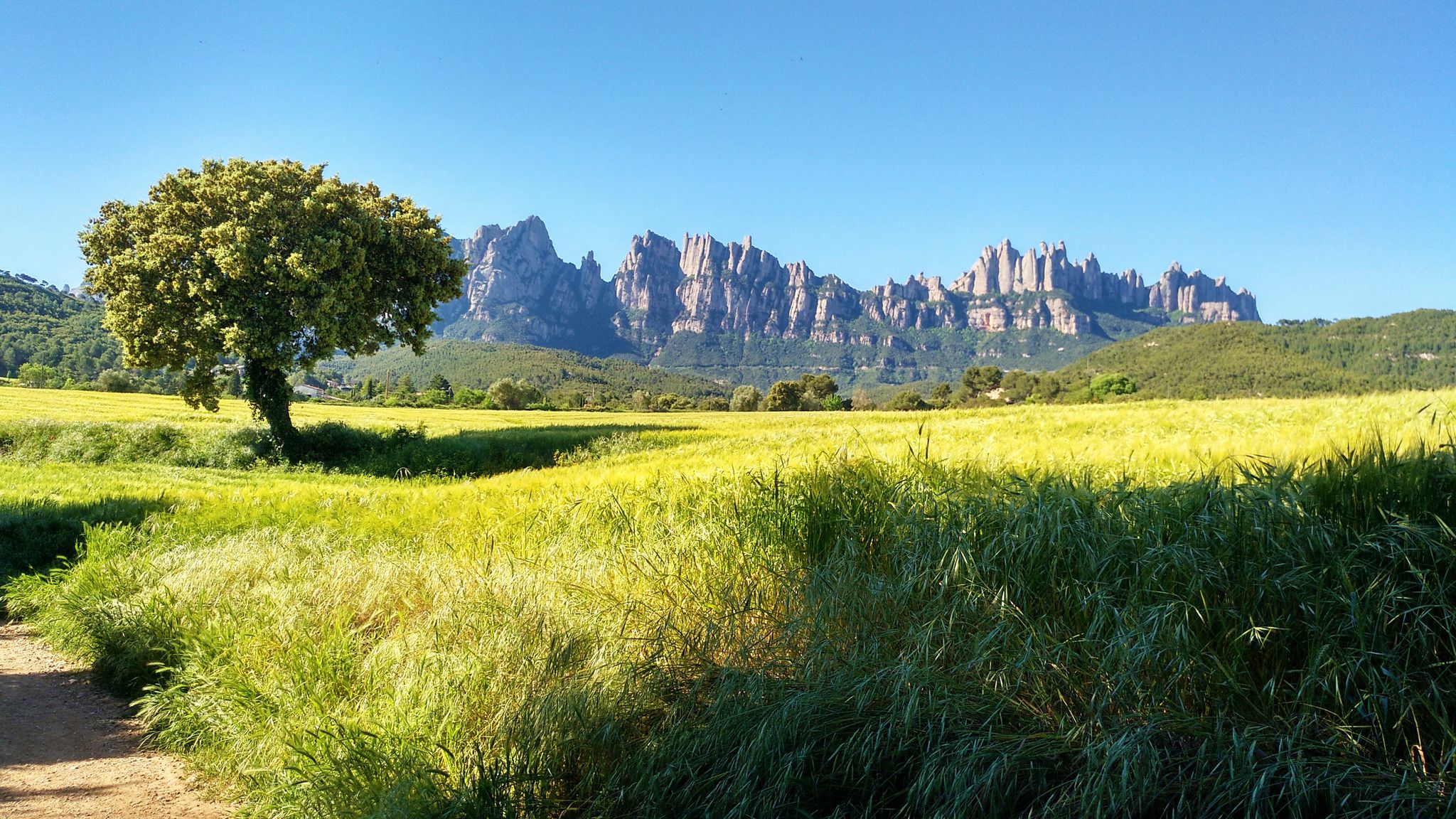
On foot from France to Montserrat – GR 4
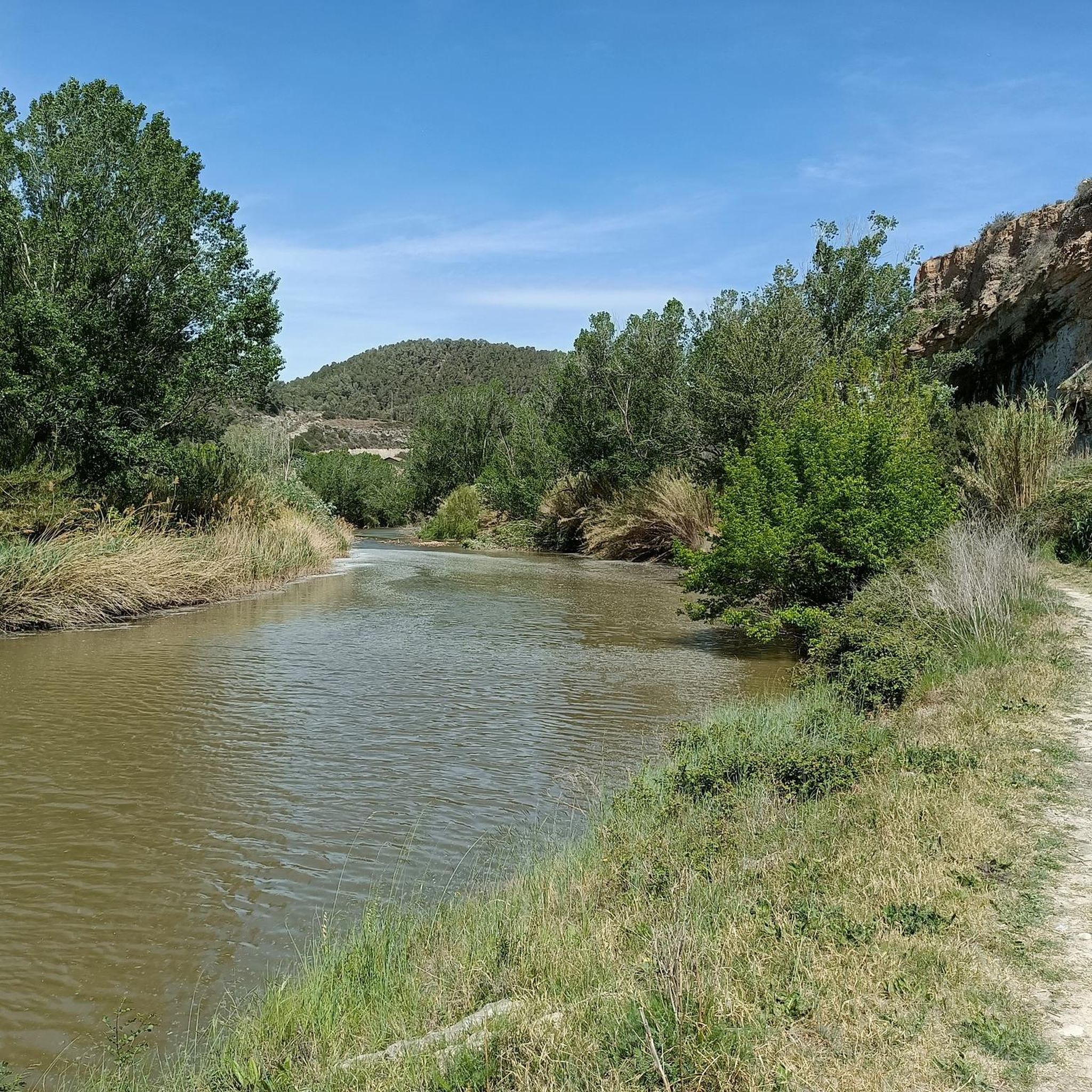
The river of Barcelona – El Camí del Llobregat
Road Cycling Routes around El Pont De Vilomara I Rocafort
Cycling around El Pont De Vilomara I Rocafort
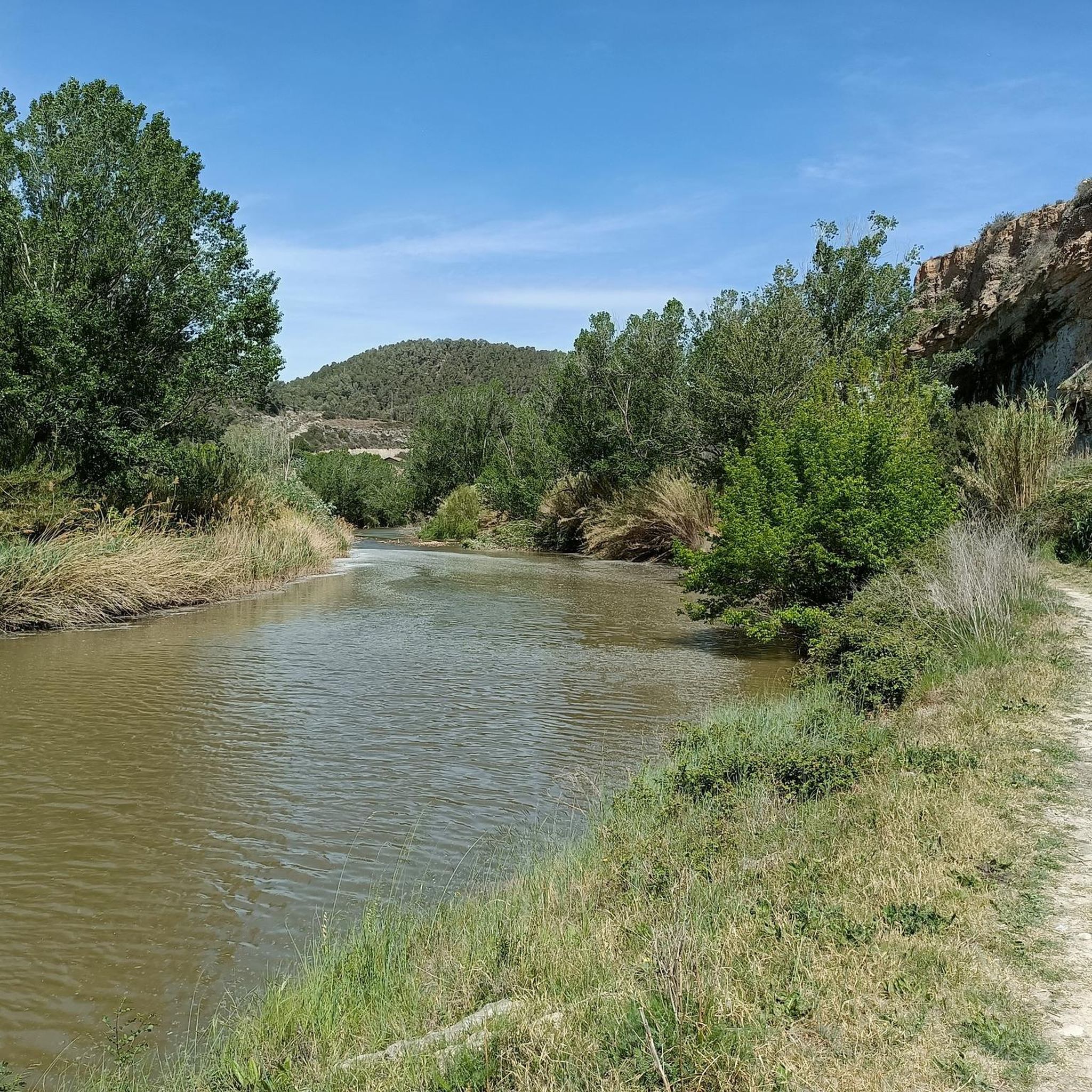
Hiking around El Pont De Vilomara I Rocafort
MTB Trails around El Pont De Vilomara I Rocafort
Running Trails around El Pont De Vilomara I Rocafort

Gravel biking around El Pont De Vilomara I Rocafort
Other adventures around El Pont De Vilomara I Rocafort


Tips from the Community

The restaurant has been closed since the fall of 2025.
2
0

Climbing it from the Talamanca side is more manageable than from the Matadepera area. Even so, whichever way you climb it, Coll is highly recommended to incorporate into your bike routes.
0
0

From Navarcles, you go uphill with some rest between each uphill section.
0
0
The restaurant has been closed since 2023.
1
0

It is a very pretty entrance and exit to the town.
1
0

a point high enough to enjoy beautiful views 🤩
1
0


beautiful port to climb with spectacular views, second highest point in the province of Barcelona, behind Collformic.
1
0
Frequently Asked Questions
What kind of terrain can I expect on mountaineering routes around El Pont de Vilomara i Rocafort?
The mountaineering routes in this region are primarily within the Sant Llorenç del Munt i l'Obac Natural Park, characterized by a largely rocky mountain massif. You'll encounter rugged mountainous formations, dramatic limestone cliffs, and rocky peaks. The predominant rock type is conglomerate, offering unique climbing experiences. Expect deep valleys, abundant holm oak and pine forests, and the presence of the Llobregat river.
Are there any easy mountaineering routes for beginners?
Yes, while many routes in the natural park are challenging, there are options suitable for those with less experience. For an easier introduction to the area's mountaineering, consider the Bassa del Madrono – barraca de pedra seca 8399 loop from Castellbell i el Vilar. This route is rated easy and covers about 4 km.
What natural landmarks or points of interest can I see while mountaineering?
The region is rich in natural beauty. You can explore prominent peaks like La Mola (1,104.2 meters) and Montcau (1,056.8 meters). The park also features various caves, such as the 'Balmes Obrades' which served as shelters. Additionally, you might encounter dramatic gorges like Bigaire Gorge or Canal dels Micos.
Are there any historical sites to explore near the mountaineering routes?
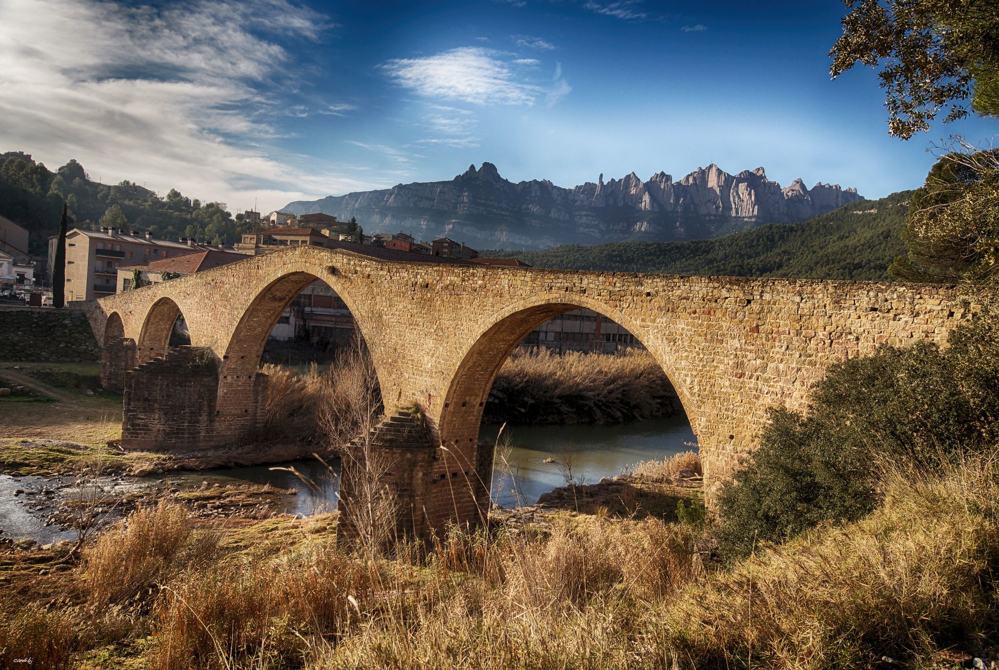
Yes, the area offers unique historical insights. You can discover ancient dry-stone wine vats scattered through the forests, showcasing the region's viticulture history. The municipality itself boasts a rural charm with its old town and the 13th-century gothic bridge over the Llobregat river.
When is the best time of year to go mountaineering in this region?
El Pont de Vilomara i Rocafort experiences a Mediterranean continental climate. This means cool, dry winters and warm, dry summers. Most rainfall occurs in spring and autumn, making these seasons, along with early summer, generally ideal for mountaineering when temperatures are milder and the landscape is vibrant.
Are there circular mountaineering routes available?
Yes, several routes in the area are circular, allowing you to start and end at the same point. An example is the challenging Mura – Puig de la Balma loop from Parc Natural de Sant Llorenç del Munt i l'Obac, which covers nearly 15 km.
Are the mountaineering routes suitable for families?
While many routes in the Sant Llorenç del Munt i l'Obac Natural Park are considered difficult and require good fitness, there are some options that might be suitable for active families with some hiking experience. Look for routes rated 'easy' or 'moderate' and consider shorter distances. Always check the specific route details for elevation gain and terrain before heading out with children.
Can I bring my dog on the mountaineering routes?
The Sant Llorenç del Munt i l'Obac Natural Park is a protected area. While specific regulations for dogs on all trails are not detailed, it's generally advisable to keep dogs on a leash to protect wildlife and ensure their safety on rugged terrain. Always check local park regulations before your visit.
What do other mountaineers say about the routes in El Pont de Vilomara i Rocafort?
The mountaineering routes around El Pont de Vilomara i Rocafort are highly rated by the komoot community, with an average score of 4.0 stars. Mountaineers often appreciate the varied terrain, from challenging rocky ascents to scenic forest paths, and the stunning views offered within the natural park.
Can you recommend a challenging mountaineering route for experienced hikers?
For those seeking a significant challenge, the Mura – Puig de la Balma loop from Parc Natural de Sant Llorenç del Munt i l'Obac is a difficult route spanning almost 15 km with considerable elevation gain, offering a rewarding experience through the rugged landscape.
Are there any longer mountaineering routes for a full day out?
If you're looking for a longer adventure, the Mura – Puig de la Balma loop from Parc Natural de Sant Llorenç del Munt i l'Obac is a difficult route that covers nearly 15 km and typically takes several hours to complete, making it suitable for a full day of exploration.
Most popular routes around El Pont De Vilomara I Rocafort
Most popular attractions around El Pont De Vilomara I Rocafort

Get inspired with the komoot mobile app


Explore more
Browse the best Mountain Hikes & Routes in other regions.
