The best running trails around Molledo
5.0
(2)
91
runners
17
runs
Jogging around Molledo offers diverse and picturesque natural landscapes in Cantabria, Spain. The region is characterized by varied terrain, including riverbanks, forests, and elevated plateaus. Joggers can explore areas with tree-lined paths, waterfalls, and scenic views of the Cantabrian mountains. This environment provides a range of running experiences, from tranquil forest trails to more challenging mountain routes.
Best jogging routes around Molledo
- The most popular jogging route is Monte Brazo Refuge loop from Los Corrales de Buelna, a 4.1…
Last updated: October 2, 2026
5.0
(1)
14
runners
Moderate run. Good fitness required. Mostly paved surfaces. Suitable for all skill levels.
8
runners
6.64km
00:54
310m
310m
Hard run. Very good fitness required. Mostly paved surfaces. Suitable for all skill levels.

5.0
(1)
9
runners
20.4km
02:37
980m
980m
Hard run. Very good fitness required. Mostly paved surfaces. Suitable for all skill levels.
7
runners
14.5km
01:31
90m
90m
Moderate run. Good fitness required. Mostly paved surfaces. Suitable for all skill levels.
6
runners
15.3km
01:56
500m
500m
Hard run. Very good fitness required. Mostly paved surfaces. Suitable for all skill levels.
Get access to more routes and recommendations from other explorers.
Already have an account?
Our route recommendations are based on thousands of hikes, rides, and runs completed by other people on komoot.
Start today with a free account
Your next adventure awaits.
Tips from the Community

Corconte is a nucleus of the Cantabrian municipality of Campoo de Yuso. The town is known for its water, known as "Concorte water", which is bottled at the nearby Concorte spa. It is one of the towns located on the shore of the Ebro reservoir, and is home to the Ebro Reservoir Interpretation Center. Regarding its heritage, the church of Nuestra Señora de las Angustias stands out. The building is built of ashlar, from the 17th-18th centuries, with a baroque tower at the foot of the temple. Also worth highlighting is the fountain and public laundry, located on the ground floor of the Council House. Originally the spring emerged in that same place, and hence its location, although currently the source is connected to the supply network. The washing basin has a rectangular plan and is built of ashlar.
1
0

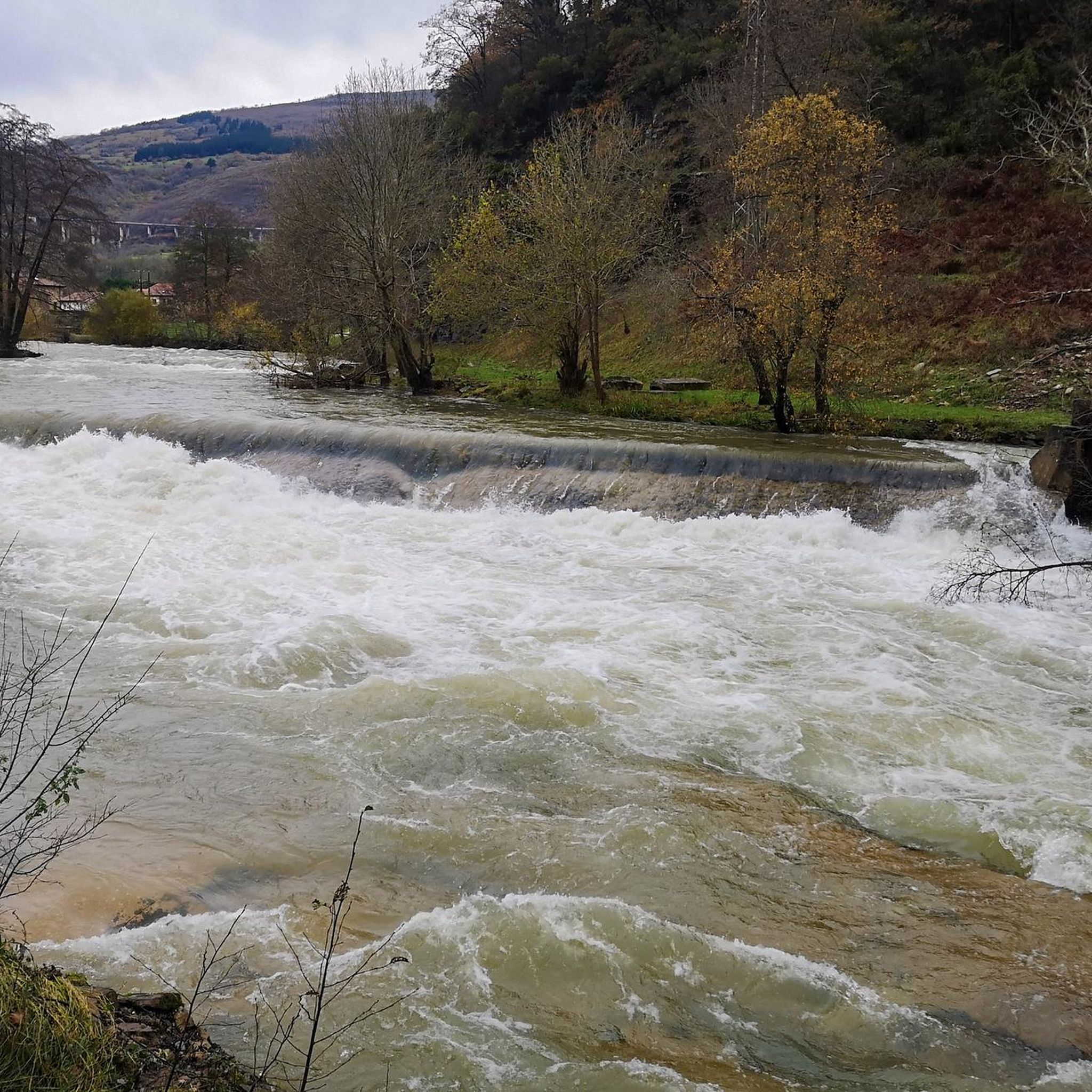
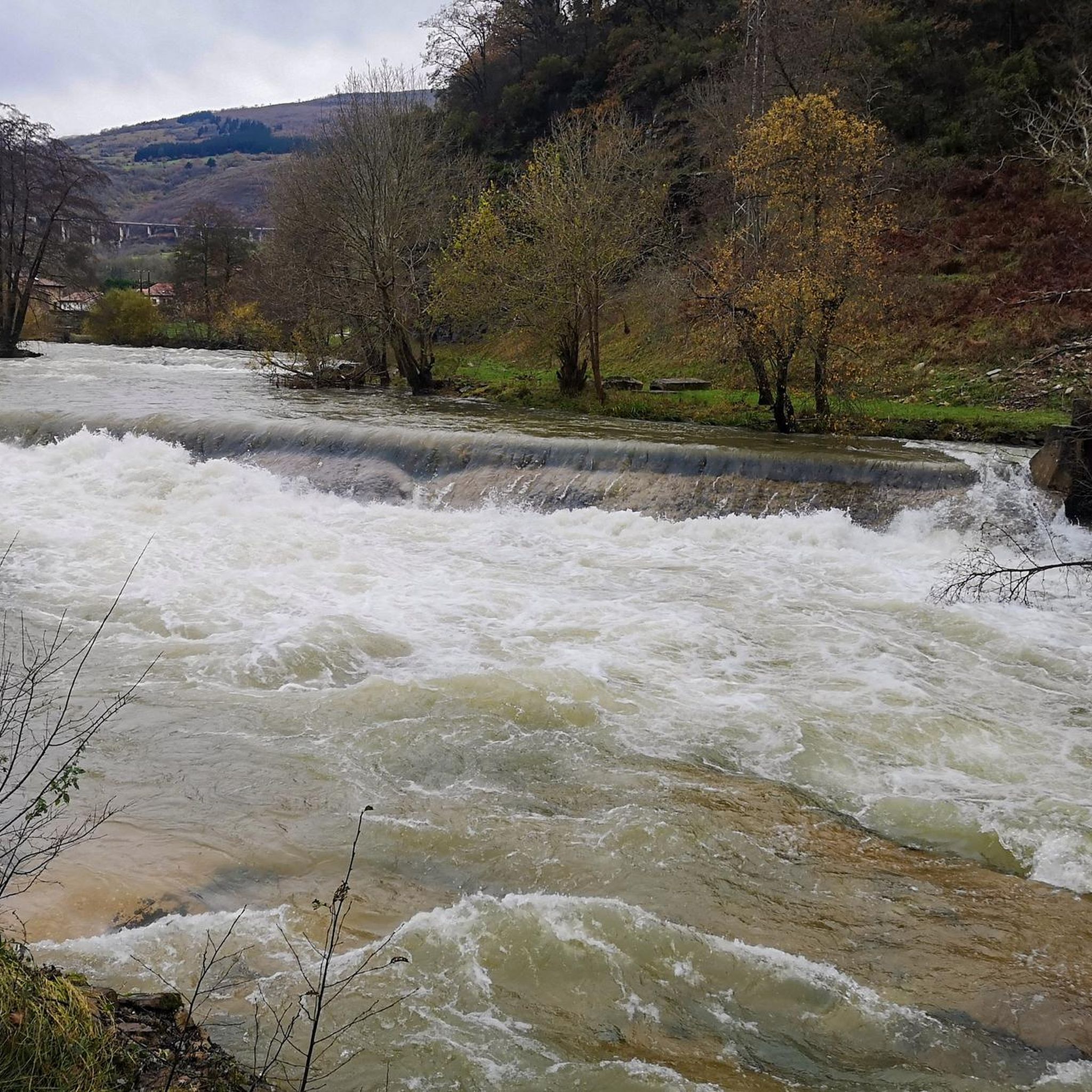
The Redondo River makes a few waterfalls along the route (about 11 if I'm not mistaken), some of which are truly beautiful and in an enviable location.
0
0

Source that is located in the old center of the town of Corconte and that is located close to the Ebro Reservoir. Nice town to hang out.
0
0

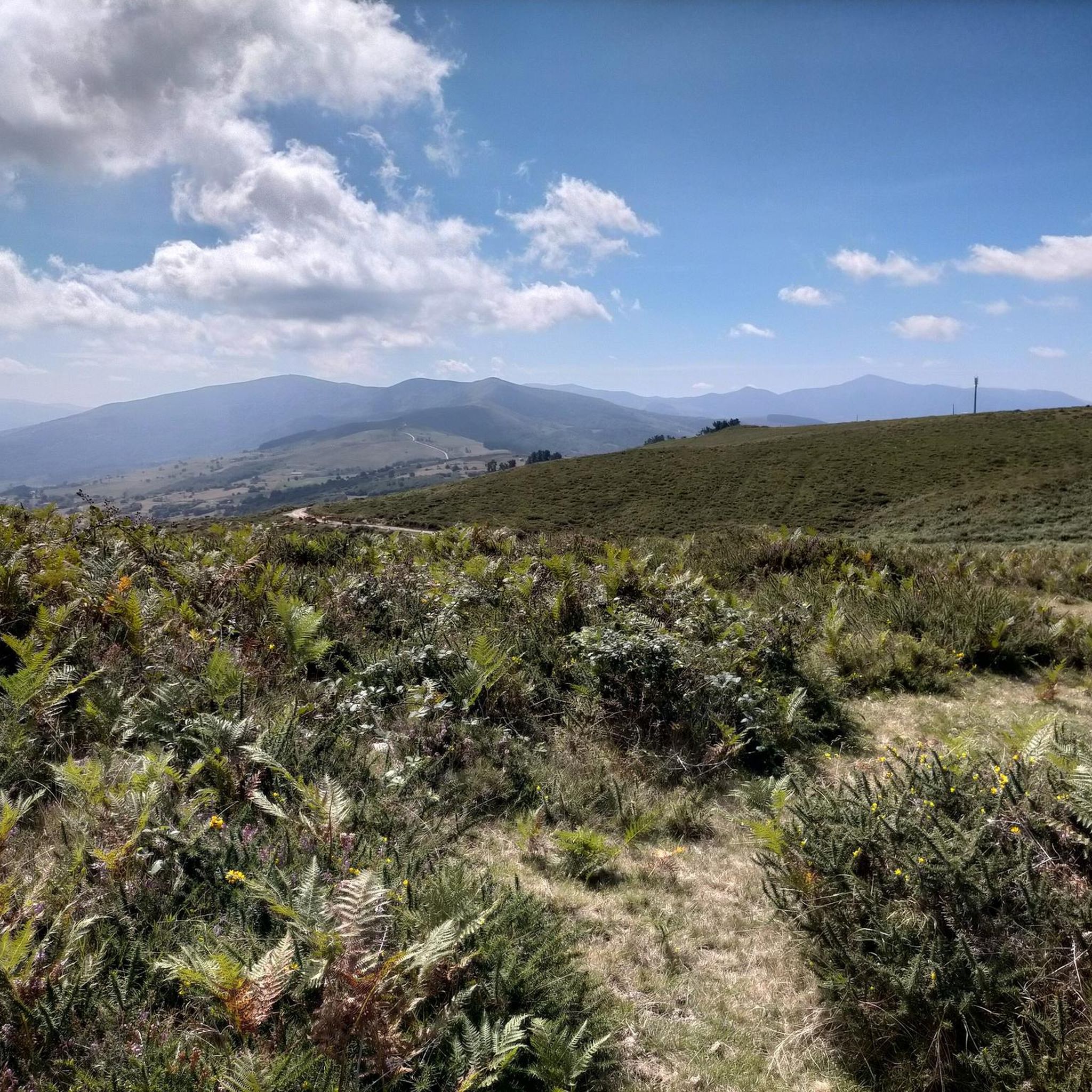
The geodesic vertex of Pico Jano is located at 1,343 meters above sea level and although reaching it can be a real challenge, the views you will have will be your great reward. With good visibility you can have some beautiful postcards of the Cantabrian interior and the Mediajo reservoir that is located at the foot of the peak.
2
0

Very nice building and surroundings.
0
0
Highest point of the route of the Roman road.
2
0

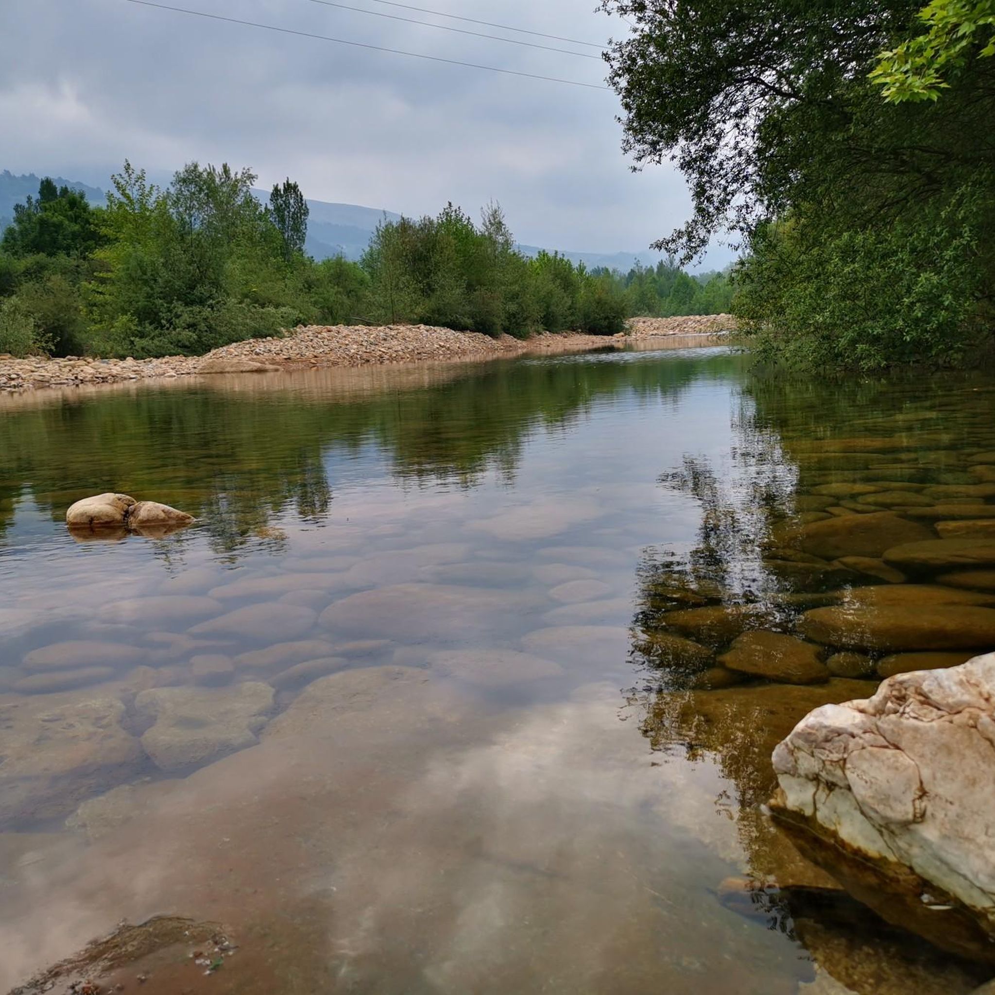
A quite nice bridge that passes over the river or rocks depending on the flow of water. The surrounding views are very beautiful!
1
0
The Monte Brazo refuge is a beautiful private refuge that belongs to the Orza Mountain Group, and is located on a small plain called Campo de La Cruz, dividing municipalities, at the foot of Cueto Moroso.
2
0
Frequently Asked Questions
How many running routes are available in Molledo?
Molledo offers a selection of 8 dedicated running routes, catering to various preferences. While most are challenging, there is one moderate route available for those seeking a less strenuous run.
What kind of terrain can I expect on Molledo's jogging trails?
Molledo's jogging trails feature diverse and picturesque natural landscapes. You can expect varied terrain including tree-lined riverbanks, dense forests, and elevated plateaus. Some routes, like the Monte Brazo Refuge loop, have mostly paved surfaces, while others offer gravel roads and natural paths.
Are there any easy running routes for beginners in Molledo?
While many routes in Molledo are rated as difficult, some, like the Monte Brazo Refuge loop from Los Corrales de Buelna, offer sections suitable for all skill levels with shorter distances and less elevation gain. The Roman Road Trail loop from Bárcena also provides versatile segments for various abilities, including options up to 3 miles with moderate elevation.
Are there jogging routes with waterfalls in Molledo?
Yes, Molledo boasts beautiful natural features including waterfalls. The area around the Canal de las Tejeras offers routes with stunning waterfalls and opportunities to cross the river. You can also find the attractive Churrón de Borleña Waterfall, which is reached by an easy path through a beautiful forest, making for a rewarding run.
What scenic viewpoints can I discover while running in Molledo?
For breathtaking views, consider routes that lead to the El Moral Plateau. This high mountain plateau offers amazing landscapes with views extending to the Picos de Europa and other Cantabrian mountains. The La Matanela Pass also provides elevated views along its stunning gravel road.
Are there any historical or cultural landmarks near the running trails?
Yes, the nearby village of Bárcena Mayor, often a starting or ending point for runs like the Pico Jano loop, is a historic-artistic site within the Saja-Besaya Natural Park. It's known for its beautifully restored traditional mountain houses, offering a scenic and culturally rich experience.
Can I bring my dog on the running trails in Molledo?
Molledo's natural environment is generally welcoming for outdoor activities with dogs. However, it's always recommended to check local regulations for specific trails, especially within protected areas like the Saja-Besaya Natural Park, to ensure dog-friendly access and leash requirements.
What do other runners enjoy the most about jogging in Molledo?
The running routes in Molledo are highly rated by the komoot community, with an average score of 5.0 stars. Runners often praise the diverse natural landscapes, from tranquil forest paths to challenging mountain runs, and the stunning views of the Cantabrian mountains.
Are there challenging running routes for experienced runners?
Absolutely. Molledo is an excellent destination for experienced runners seeking a challenge. Routes like the Pico Jano loop from Bárcena, a difficult 12.7-mile path with significant elevation gain, require good fitness. The Alto del Cueto Moroso loop also offers a demanding run through varied natural landscapes.
What are the trail conditions like in different seasons?
Molledo's trails offer varied conditions throughout the year. In warmer months, the shade along riverbanks like the Canal de las Tejeras provides relief. During wetter periods, appropriate footwear is advised, especially on trails with stepping stones, as they can be slippery. High mountain plateaus like El Moral might be more exposed to elements in colder seasons.
Is there parking available near the running routes?
Many of the popular running routes in Molledo, especially those starting from towns like Bárcena or Los Corrales de Buelna, typically have parking options available nearby. It's advisable to check specific starting points for designated parking areas before your run.
Are there circular running routes in Molledo?
Yes, many of the running routes in Molledo are designed as loops, allowing you to start and finish in the same location. Examples include the Monte Brazo Refuge loop and the Roman Road Trail loop from Bárcena, providing convenient options for your run.
Most popular attractions around Molledo

Get inspired with the komoot mobile app


Explore more
Browse the best Running Trails & Routes in other regions.
