The best walks and hikes around Arenas De Iguña
4.6
(322)
1,829
hikers
111
hikes
Hiking around Arenas De Iguña offers diverse landscapes at the foot of the Cantabrian Mountains in central Cantabria. The region features rugged and gentle mountains, extensive oak and beech forests, and lush meadows. The Saja-Besaya Natural Park, encompassing the headwaters of the Llares River, is a prominent natural feature. The area is also traversed by the Besaya River, with mountain prairies and peaks like Pico Tordias adding to the varied terrain.
Best hiking trails around Arenas De Iguña
- The most…
Last updated: October 7, 2026
4.7
(19)
109
hikers
Moderate hike. Good fitness required. Easily-accessible paths. Suitable for all skill levels.
5.0
(2)
25
hikers
18.2km
05:12
420m
420m
Hard hike. Very good fitness required. Easily-accessible paths. Suitable for all skill levels.

10
hikers
15.0km
04:18
360m
360m
Moderate hike. Good fitness required. Easily-accessible paths. Suitable for all skill levels.
5.0
(2)
11
hikers
9.12km
02:35
200m
200m
Moderate hike. Good fitness required. Easily-accessible paths. Suitable for all skill levels.
4.0
(1)
6
hikers
Moderate hike. Good fitness required. Easily-accessible paths. Suitable for all skill levels.
Get access to more routes and recommendations from other explorers.
Already have an account?
Our route recommendations are based on thousands of hikes, rides, and runs completed by other people on komoot.
Start today with a free account
Your next adventure awaits.
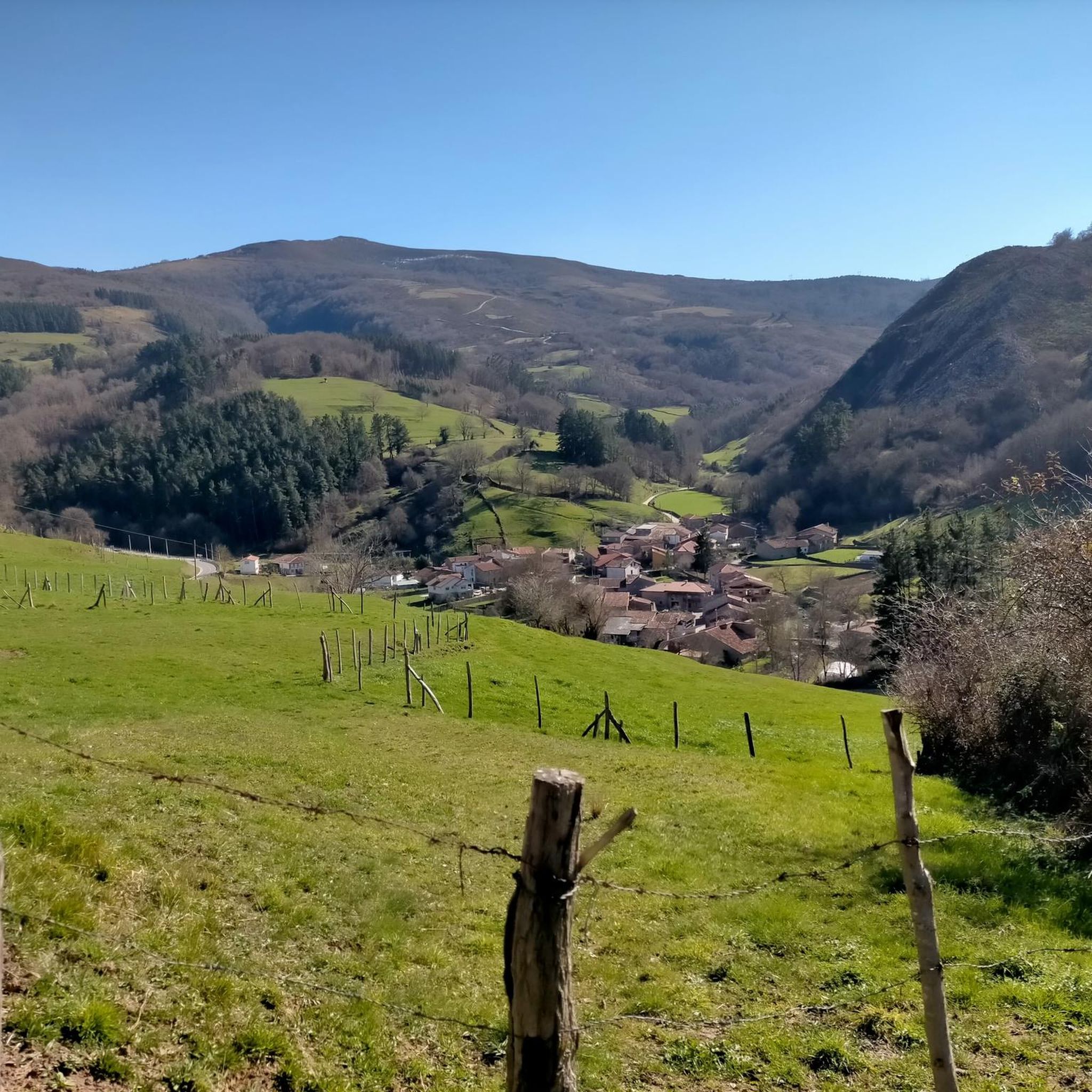
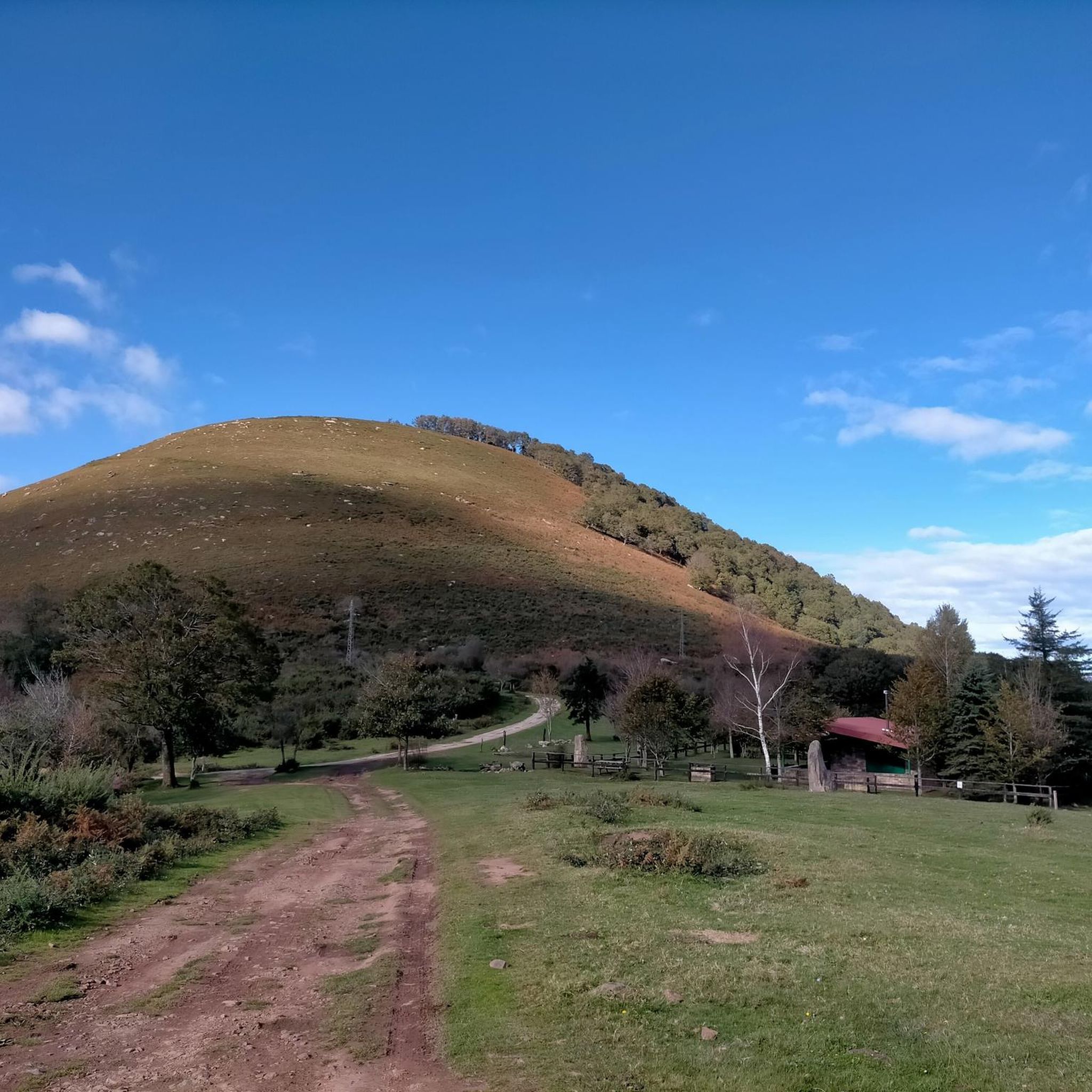
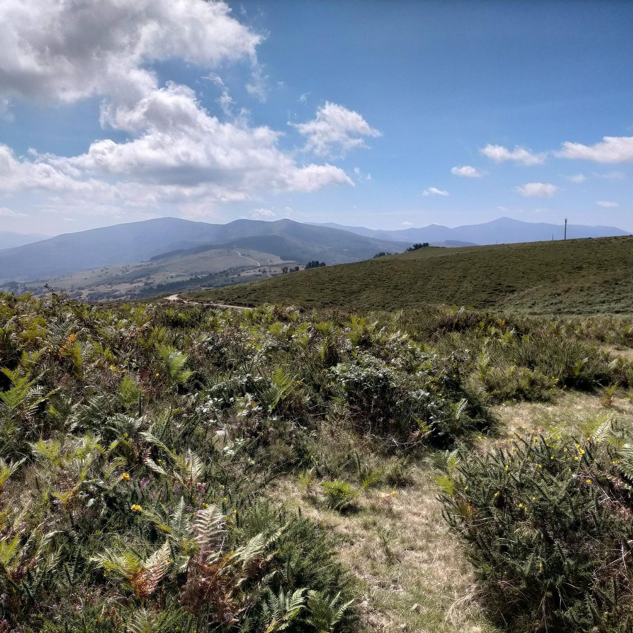
Tips from the Community

After a beautiful gravel climb, you reach this plateau with stunning views (including the Picos de Europa in the distance). The path then continues for a long time at altitude, with many cows and horses. Take a look: https://www.youtube.com/watch?v=OgEcgF17RDw
0
0
Indeed, a beautiful spot with breathtaking views, both towards the Picos de Europa and other Cantabrian mountains. The (gravel) road there is also stunning; just take a look: https://www.youtube.com/watch?v=OgEcgF17RDw
0
0

You can climb from Cieza or Los Llares. The road is dirty and somewhat broken through Cieza (be careful when descending on a road bike).
0
0

The Collada de Brenes is a mountain pass belonging to the Cantabrian mountain range and located in Cantabria. It links the municipality of Cieza to the north with that of Arenas de Iguña to the south.
0
0
Crossroads below Pico Tordias and from where you reach the Ermita el Moral
0
0
Beautiful little chapel located in an incredible place with beautiful views.
0
0

Spectacular beech forest in the Saja park that is part of the 10,000 of Soplao
1
0
Frequently Asked Questions
How many hiking trails are available in Arenas De Iguña?
Arenas De Iguña offers a wide variety of hiking experiences, with over 85 trails documented on komoot. These routes cater to different preferences, ranging from easy strolls to more challenging ascents through the Cantabrian Mountains.
What is the best time of year to go hiking in Arenas De Iguña?
The region is beautiful throughout the year, but spring and autumn generally offer the most pleasant hiking conditions with mild temperatures and vibrant landscapes. Summer is also popular, especially in the higher mountain areas, while winter can provide unique, snow-covered scenery for those prepared for colder conditions.
What kind of terrain can I expect on hikes around Arenas De Iguña?
Hikers in Arenas De Iguña will encounter diverse terrain, including rugged and gentle mountains, extensive oak and beech forests, and lush mountain prairies. The area is also traversed by rivers like the Besaya and Llares, adding to the varied natural environment.
Are there any easy or family-friendly hiking options in Arenas De Iguña?
Yes, Arenas De Iguña offers several easy paths suitable for families or those looking for a relaxed walk. For example, the Fuente Clara Trail is an easy 7 km route through natural landscapes. Additionally, recreational areas like El Praduco and El Vao in Los Llares provide ideal starting points for gentler routes.
Can I find any waterfalls while hiking in Arenas De Iguña?
Absolutely! The region is home to several picturesque waterfalls. A notable one is the Churrón de Borleña Waterfall, which is part of a beautiful hiking route through a forest. Other waterfalls in the area include the Lamiña Waterfalls and the Pozo del Infierno Waterfall.
Are there circular hiking routes available in Arenas De Iguña?
Yes, many routes in Arenas De Iguña are circular, allowing you to start and end at the same point. A popular option is the Alto del Cueto Moroso and Canal de las Tejeras Loop, which is a moderate 10.7 km trail offering high mountain landscapes.
What do other hikers enjoy most about the trails in Arenas De Iguña?
The trails in Arenas De Iguña are highly rated by the komoot community, with an average score of 4.7 stars from over 250 reviews. Hikers frequently praise the diverse landscapes, from the extensive oak and beech forests of Saja-Besaya Natural Park to the stunning mountain views and the tranquility of the river valleys.
Are there any notable peaks or viewpoints to discover on hikes?
Yes, the region offers several peaks and viewpoints. Pico Tordias, at 968 meters, is a significant peak in the area, and you can find a View of Pico Tordias. The El Moral Plateau also provides stunning high mountain landscapes, accessible via a forest track, with a nearby hermitage serving as a refuge for trekkers.
Can I explore historical or archaeological sites while hiking in the area?
Yes, Arenas De Iguña has a rich history that can be explored on foot. The challenging 12.4 km Archaeological Route El Cantón, Espina del Gallego, and Cildá takes you past Roman encampments and an ancient Cantabrian castro. Additionally, the El Románico: San Juan de Raicedo – Helecha route allows hikers to discover the Romanesque art of the Iguña Valley, starting from the Romanesque Church of San Juan.
Are there options for more challenging hikes in Arenas De Iguña?
For experienced hikers seeking a challenge, Arenas De Iguña offers routes with significant elevation gains. The Alto del Cueto Moroso and Canal de las Tejeras Loop, for instance, is a moderate route with a notable ascent, providing a more demanding experience and rewarding high mountain views.
Is it possible to access trailheads using public transport?
While specific public transport details for every trailhead are not readily available, many routes, such as the Monte Brazo Refuge – Canal de las Tejeras loop, are accessible from nearby towns like Los Corrales de Buelna, which may have public transport connections. It's advisable to check local transport schedules for specific starting points.
Most popular attractions around Arenas De Iguña

Get inspired with the komoot mobile app


Explore more
Browse the best Hikes in other regions.
