The best road cycling routes around Vegacervera
4.0
(2)
705
riders
24
rides
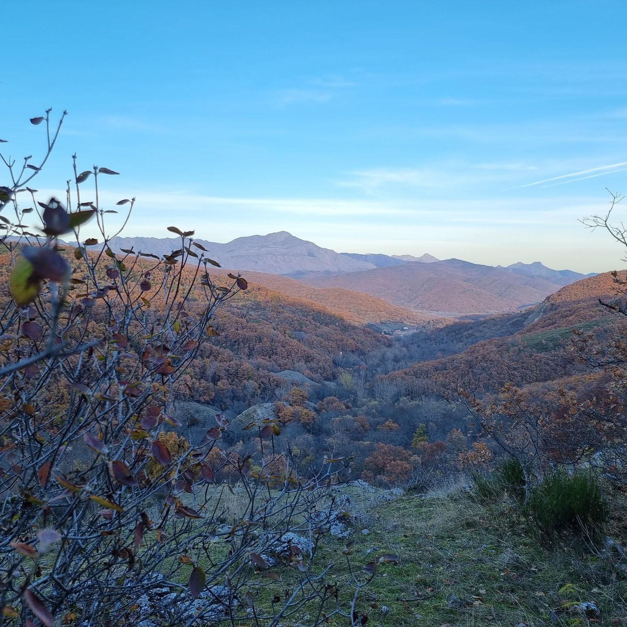
Road cycling routes around Vegacervera traverse a landscape characterized by deep gorges, such as the Hoces de Vegacervera, and significant elevation changes. The region features a mix of open terrain and areas within natural biospheres, offering varied scenery for road cyclists. Routes often include climbs and descents through mountainous areas, providing challenging road cycling Vegacervera experiences. This terrain makes Vegacervera suitable for cyclists seeking routes with notable elevation gain.
Best road cycling routes around Vegacervera
- The most popular road cycling route is Barrios de Luna Reservoir and La Robla Loop, a 46.8 miles (75.2 km) trail that takes 3 hours 48 minutes to complete. This difficult route explores the area around the Barrios de Luna Reservoir.
- Another top favourite among local road cyclists is Alto Bernesga and Los Argüellos Biospheres Loop, a difficult 66.0 miles (106.2 km) path. This route offers extensive riding through the Alto Bernesga and Los Argüellos Biospheres.
- Local road cyclists also love the Convento de San Marcos – Ermita del Buen Suceso loop from Pola de Gordón, a 44.6 miles (71.7 km) trail leading through areas with historical landmarks, often completed in about 2 hours 59 minutes.
- Road cycling around Vegacervera is defined by deep gorges, significant elevation gain, and routes through natural biospheres. The network offers options for both moderate and challenging road cycling Vegacervera experiences.
- The routes in Vegacervera are highly rated by the komoot community with an average score of 4.0 stars from over 2 reviews. More than 700 road cyclists have used komoot to explore Vegacervera's varied terrain.
Last updated: July 29, 2026
61
riders
106km
05:21
1,780m
1,780m
Hard road ride. Very good fitness required. Mostly well-paved surfaces and easy to ride.
57
riders
88.3km
04:39
1,550m
1,550m
Hard road ride. Very good fitness required. Mostly well-paved surfaces and easy to ride.

Sign up for free
31
riders
100km
04:54
1,490m
1,490m
Hard road ride. Very good fitness required. Mostly well-paved surfaces and easy to ride.
19
riders
49.1km
02:28
660m
660m
Moderate road ride. Good fitness required. Mostly well-paved surfaces and easy to ride.
8
riders
78.6km
04:24
1,610m
1,610m
Hard road ride. Very good fitness required. Mostly well-paved surfaces and easy to ride.
Get access to more routes and recommendations from other explorers.
Sign up for free
Already have an account?
Our route recommendations are based on thousands of hikes, rides, and runs completed by other people on komoot.
Start today with a free account
Your next adventure awaits.
Login or Signup
Tips from the Community

Built in the 18th century, following the style of the Leonese Baroque. Inside, the altarpiece features the image of Our Lady of Good Success.
0
0

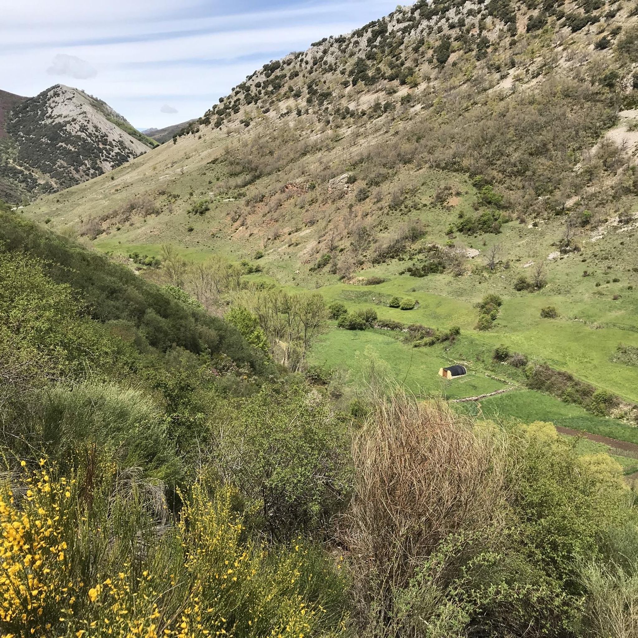
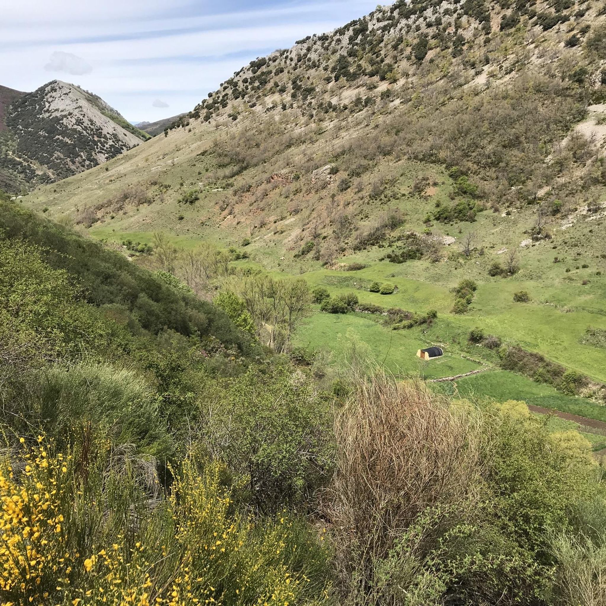
The Redipuertas waterfall will amaze you with its crystal-clear waters in a setting of great natural beauty, surrounded by mountains and green meadows. It's a very accessible and picturesque spot.
1
0

incredible view on after the tunnel, especially coming from Arallas
0
0

Nocedo Waterfall, also known as Cola de Caballo Waterfall, is one of the most accessible and spectacular natural spots in the Central León Mountains, located near Nocedo de Curueño, in the municipality of Valdepiélago. Approximately 4 meters high, it was formed by the Valdecésar stream as it negotiates a steep drop on its way to the Curueño River.
4
0

The Alba Bridge is an 18th-century structure spanning the Bernesga River. It is also known locally for a car accident involving some bullfighters in the 1920s. They were traveling in an open-top car and fell into the river. Local residents rushed to their aid, and the following year the bullfighters organized a town festival in gratitude.
1
0

La Collada de la Vid is a mountain pass located in the La Vid de Gordón area of León, Spain. It connects several villages and is part of historical and hiking trails in the area. Main features: • La Collada de la Vid is located near towns such as Buiza and Villasimpliz, and is part of traditional routes such as the Camino Real and the Northern Route of the Camino de Santiago to San Salvador de Oviedo. • In this area is the Hermitage of San Lorenzo, of historical and cultural significance, which opens its doors on August 10th for a pilgrimage. • The Las Colladas route from La Vid de Gordón is of medium difficulty, with a distance of approximately 12 km and an estimated time of 4 hours. • La Collada Villar, near La Vid, is a mountain pass with an ascent of about 3.3 km and an average gradient of about 7%, also used for cycling and hiking activities.
0
0
The Collada de Cármenes is a mountain pass located in the province of León, in the north-central area, near the town of Cármenes. Access and Routes • It can be ascended from two main slopes: • From Cármenes: 3.5 km route, with a vertical drop of 185 m and an average gradient of 5.24%. Maximum altitude: 1,337 m. • From Villamanín: 4.9 km route, a vertical drop of 200 m and an average gradient of 4.12%. Maximum altitude: 1,337 m
0
0
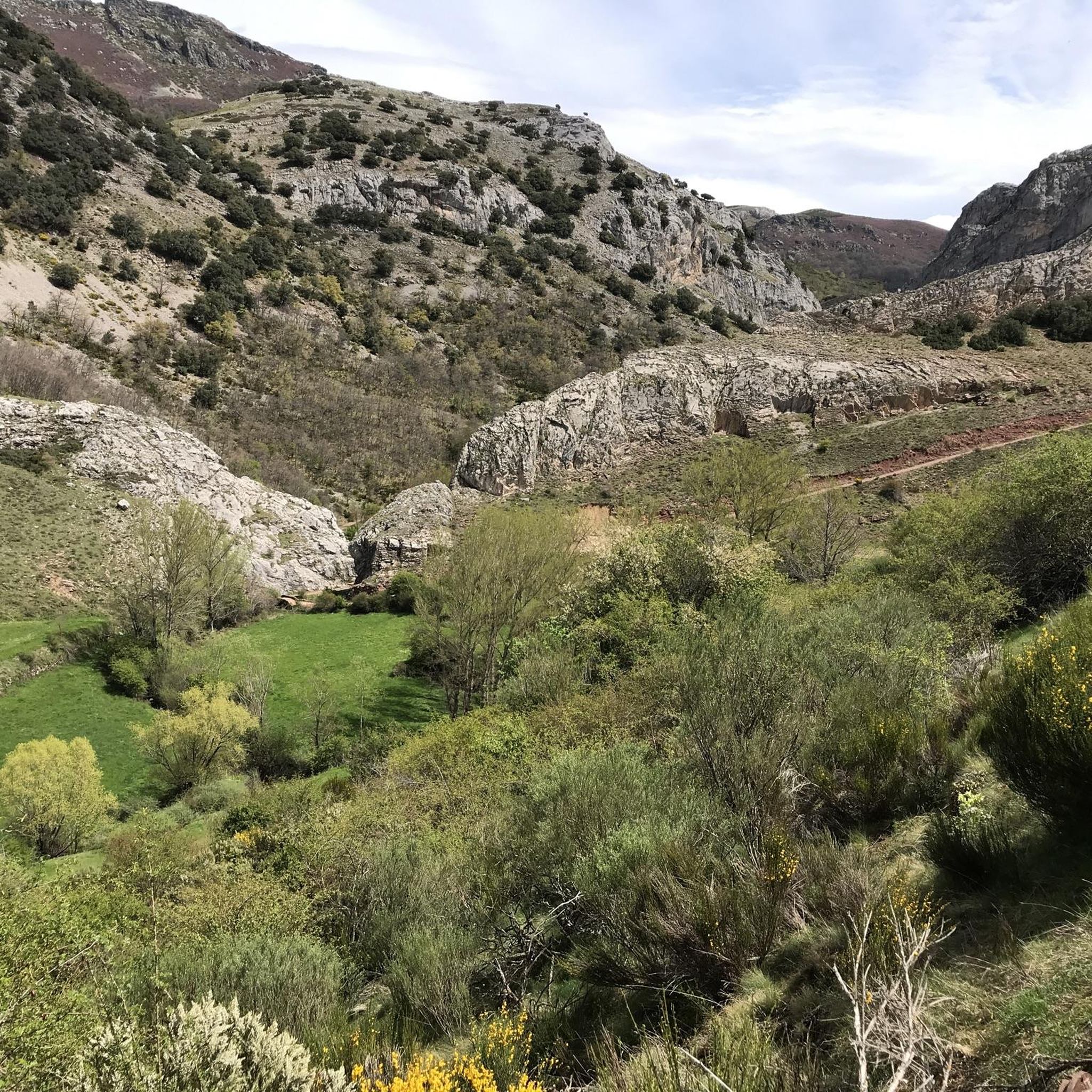
The Vegacervera Gorges are a protected natural area in the north of the province of León, Castile and León, Spain, near Asturias. • It is an impressive canyon carved by the Torío River, with limestone walls that exceed 100 meters in height and, in some sections, barely 15 meters wide. • The area encompasses municipalities such as Vegacervera, Cármenes, Matallana de Torío, and Valdepiélago.
0
0
Frequently Asked Questions
How many road cycling routes are available around Vegacervera?
There are over 15 road cycling routes around Vegacervera, offering a variety of experiences for different skill levels. These routes are highly rated by the komoot community, with an average score of 4.0 stars.
Are there challenging road cycling routes in Vegacervera?
Yes, Vegacervera is known for its challenging road cycling experiences, featuring significant elevation changes and mountainous terrain. Routes like the Alto Bernesga and Los Argüellos Biospheres Loop, which covers over 106 km with substantial climbs, are popular among advanced cyclists.
Can I find circular road cycling routes in Vegacervera?
Many of the road cycling routes in Vegacervera are designed as loops, allowing you to start and finish at the same point. For instance, the Barrios de Luna Reservoir and La Robla Loop is a popular circular route exploring the reservoir area.
What are the best routes for scenic road cycling in Vegacervera?
The region offers incredibly scenic routes, often passing through deep gorges and natural biospheres. The La Pola de Gordón Town Center – Vegacervera Gorge loop from Pola de Gordón provides stunning views as it takes you through the famous Vegacervera Gorge.
What kind of elevation gain can I expect on road cycling routes in Vegacervera?
Road cycling in Vegacervera is characterized by notable elevation gain, making it suitable for cyclists seeking a workout. Routes often include climbs and descents through mountainous areas. For example, the Alto Bernesga and Los Argüellos Biospheres Loop features nearly 1,800 meters of ascent.
Are there any historical landmarks or attractions along the road cycling routes?
Yes, some routes pass by historical landmarks. The Convento de San Marcos – Ermita del Buen Suceso loop from Pola de Gordón leads through areas with historical significance. Additionally, you might encounter highlights such as the Hermitage of the Virgin of the Light of Buiza.
What natural attractions can I see while road cycling in Vegacervera?
The region is rich in natural beauty. Cyclists can experience the dramatic Vegacervera Gorge, ride through parts of the Alto Bernesga and Los Argüellos Biospheres, and potentially spot the Nocedo Waterfall or the Ciñera Beech Forest.
What do other road cyclists enjoy most about road cycling in Vegacervera?
The komoot community highly rates the road cycling routes in Vegacervera, with an average score of 4.0 stars. Cyclists often praise the varied terrain, the challenge of the climbs, and the stunning natural scenery, particularly the deep gorges and biosphere reserves.
Are there any moderate road cycling options for less experienced riders?
While many routes are challenging, there are also moderate options available. Routes like the Vegacervera Gorge – Plaza Mayor of Villamanín loop from Robles de la Valcueva offer a good balance of distance and elevation, suitable for those looking for a less intense ride than the most difficult routes.
What is the best time of year for road cycling in Vegacervera?
The mountainous nature of Vegacervera suggests that late spring, summer, and early autumn generally offer the most favorable weather conditions for road cycling, with milder temperatures and less chance of snow or ice on higher passes.
Are there long-distance road cycling trails available?
Yes, Vegacervera offers several long-distance routes. The Alto Bernesga and Los Argüellos Biospheres Loop, for example, spans over 106 kilometers, providing an extensive ride through the region's natural landscapes.
Most popular attractions around Vegacervera

Get inspired with the komoot mobile app


Explore more
Browse the best Road cycling routes in other regions.
