The best road cycling routes around Talayuelas
228
riders
24
rides
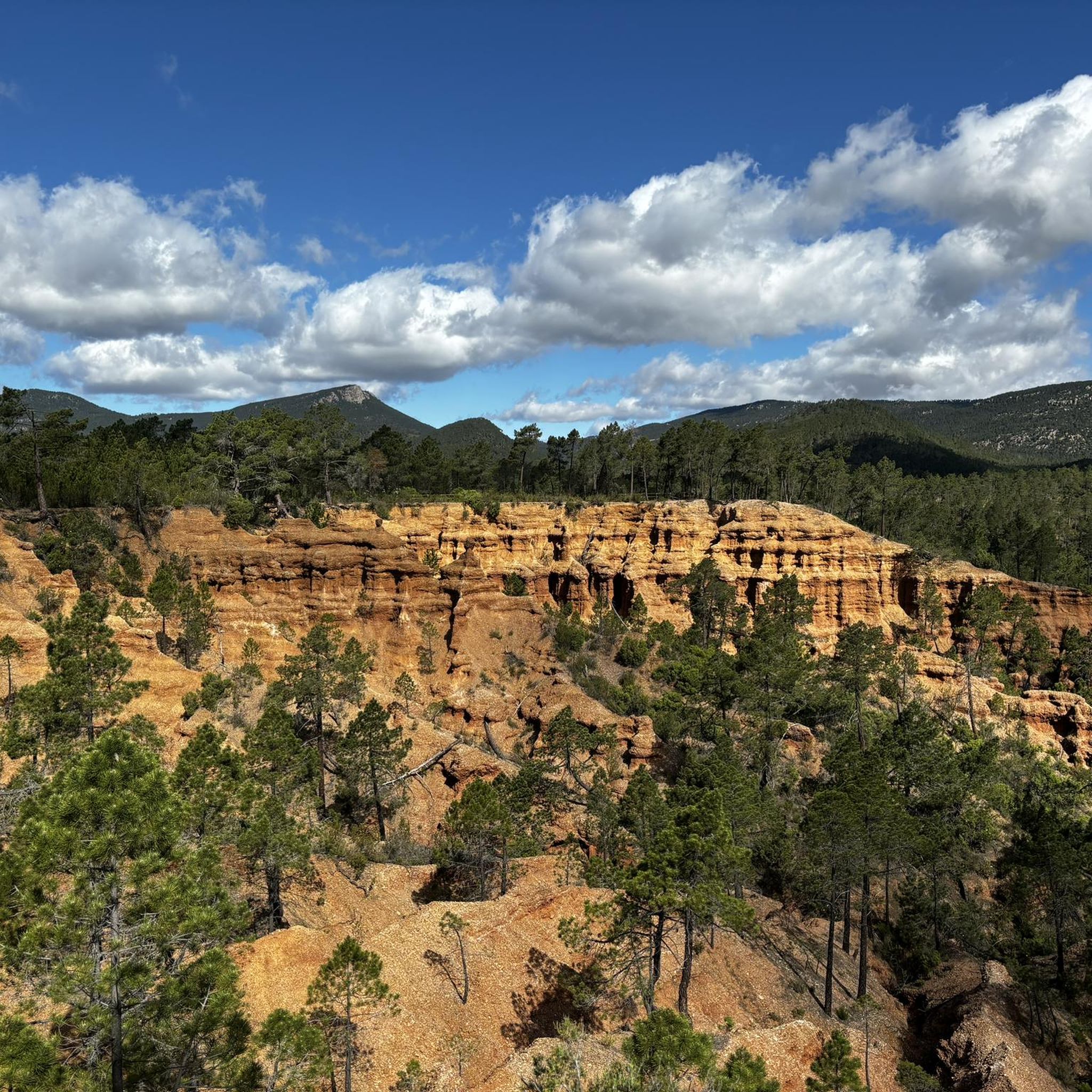
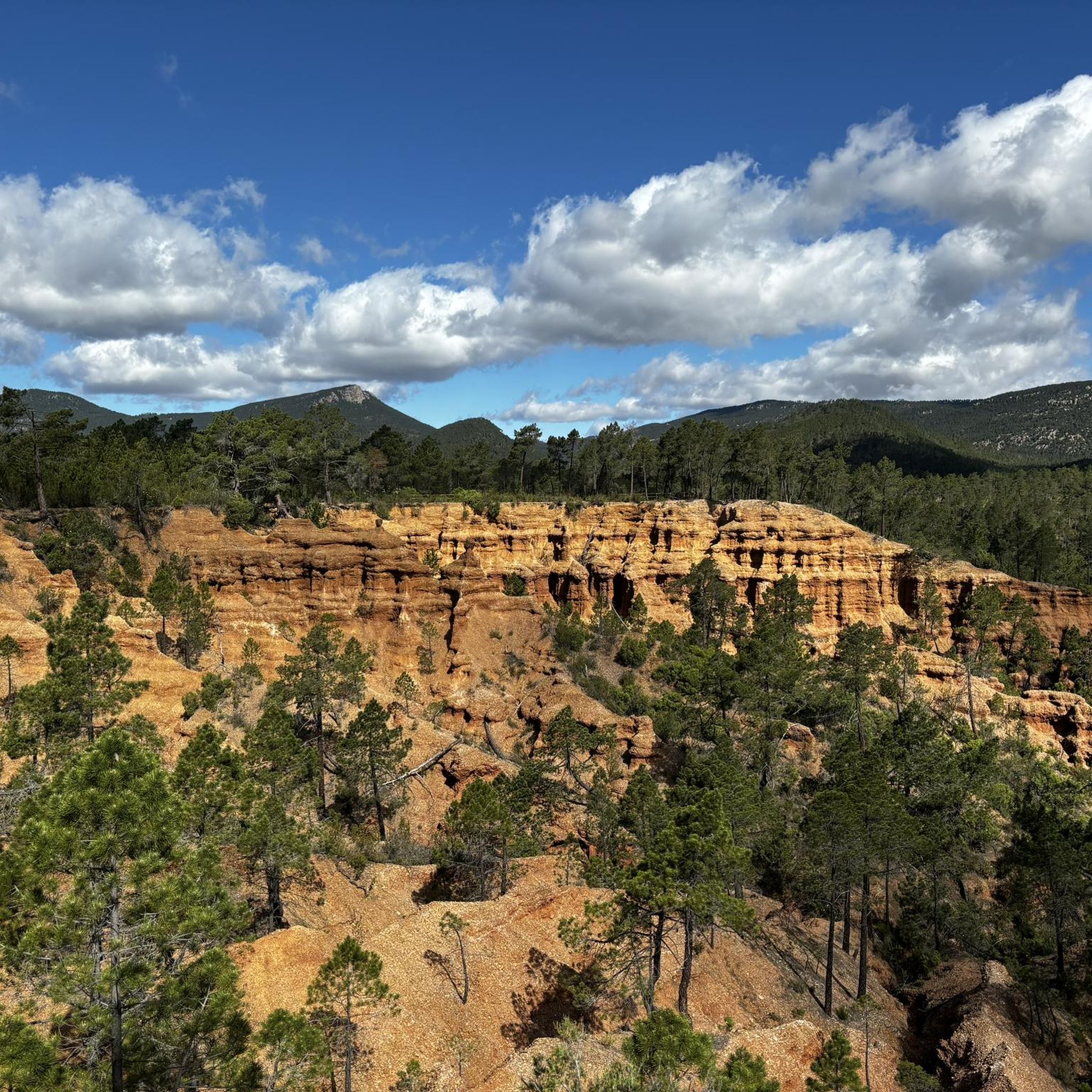
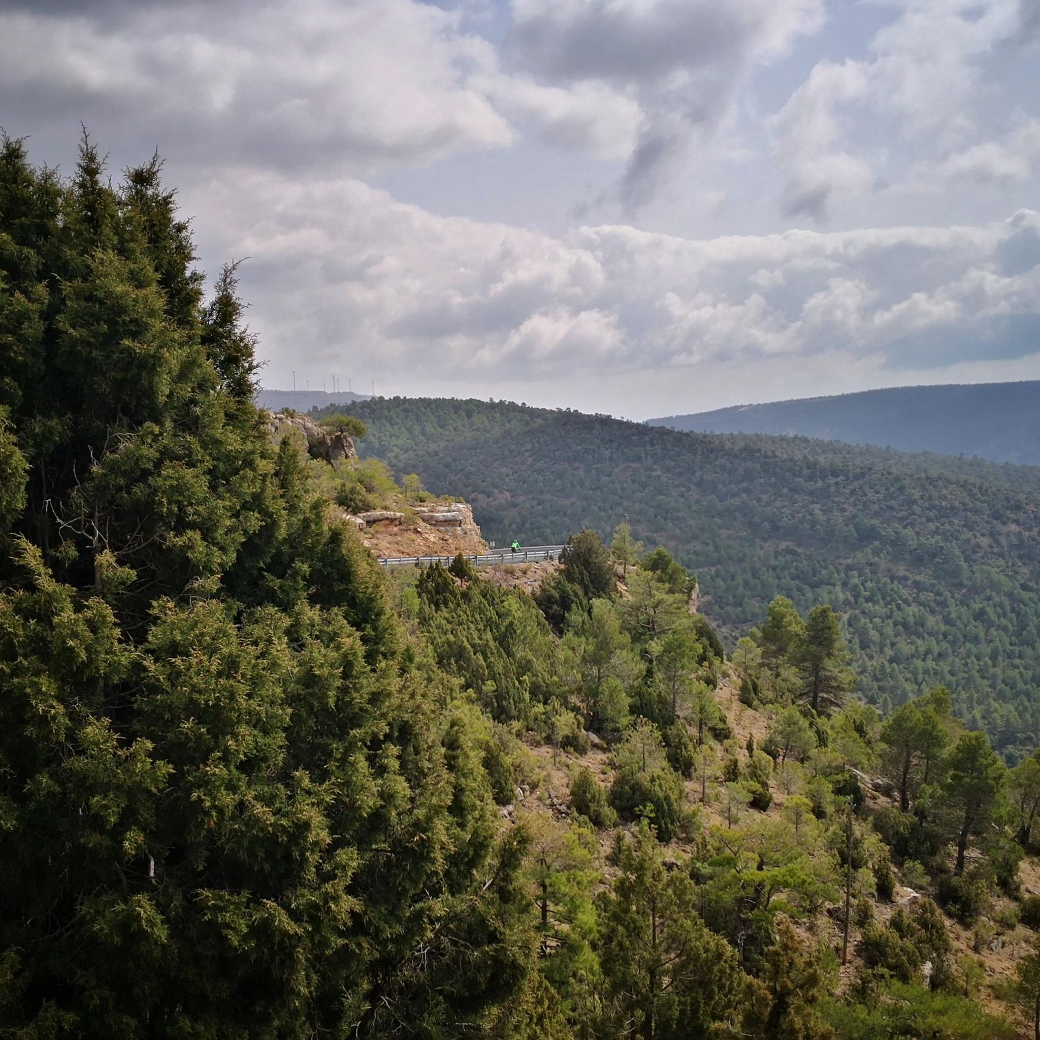
Road cycling routes around Talayuelas offer diverse terrain within the broader Cuenca region of Spain. The area is characterized by a mountainous landscape, including the Serranía de Cuenca, featuring rivers, gorges, and unique geological formations. This varied topography provides a range of cycling routes suitable for different fitness levels. The region's natural features contribute to a compelling environment for road cyclists.
Best road cycling routes around Talayuelas
- The most popular road cycling route is Garaballa and Aliaguilla Loop from Talayuelas…
Last updated: May 10, 2026
5
riders
58.5km
02:51
750m
760m
This moderate 36.3-mile (58.5 km) road cycling route from Talayuelas explores the scenic Serranía de Cuenca, passing through Garaballa and A
21
riders
Moderate road ride. Good fitness required. Mostly well-paved surfaces and easy to ride.

Sign up for free
20
riders
109km
05:23
1,660m
1,660m
Hard road ride. Very good fitness required. Mostly well-paved surfaces and easy to ride.
16
riders
65.6km
03:00
730m
730m
Moderate road ride. Good fitness required. Mostly well-paved surfaces and easy to ride.
17
riders
Hard road ride. Very good fitness required. Some segments of this route may be unpaved and difficult to ride.
Get access to more routes and recommendations from other explorers.
Sign up for free
Already have an account?
Our route recommendations are based on thousands of hikes, rides, and runs completed by other people on komoot.
Start today with a free account
Your next adventure awaits.
Login or Signup
Popular around Talayuelas
Tips from the Community

The route descends from the CU-V-5003 road to the Algarra River, offering glimpses of it from within the valley. Along paths parallel to the river, you'll see orchards, tree plantations, and riverside land, some of which is also visible from the access roads and sides of the CU-V-5003.
2
0

Leaving La Loberuela towards the track, the path begins clearly and well defined with trail signs and small cairns indicating directions before entering the rural road between fields and hills.
0
0
This village is located on a hill between two ravines, with houses scattered around the old hermitage of San José, which in summer also serves as a meeting place for the residents.
0
0
The entrance to the village of Camporrobles leads into a typical rural village of the Utiel-Requena region, with its parish church of Our Lady of the Assumption and its bell tower visible from afar, surrounded by traditional houses and streets that lead to the village center. It is a peaceful and pleasant place, ideal for a break, stretching your legs, and recharging your batteries before continuing your journey.
0
0


Beautiful surroundings and antiquity par excellence. Stop here for some tapas and a beer
0
0
16th century Trinitarian Monastery transformed into a charming hotel that offers all the comforts.
6
0

The center of Aliaguilla is located on the southern slope of a hill called Cuesta de la Torre, which is said to have been the beginning of the town. Nice town to take a break!
0
0
Frequently Asked Questions
What kind of terrain can I expect on road cycling routes around Talayuelas?
The Talayuelas region, situated within the broader Cuenca province, offers a diverse and compelling landscape for road cyclists. You'll encounter mountainous areas, including the scenic Serranía de Cuenca, characterized by rivers, gorges, and unique geological formations. This varied topography provides a mix of ascents and descents, ensuring a dynamic cycling experience.
How many road cycling routes are available in the Talayuelas area?
There are over 20 road cycling routes available around Talayuelas, catering to various skill levels. These routes explore the diverse terrain of the region, from moderate loops to more challenging rides with significant elevation gains.
Are there any easy or beginner-friendly road cycling routes in Talayuelas?
While many routes offer a moderate challenge, the region does provide options for less experienced cyclists. For instance, routes like the 'CIRCULAR A TALAYUELA' (25 km with 106m elevation) mentioned in regional research offer a gentler introduction to the area's cycling. Komoot also lists some routes with easier difficulty ratings, though specific 'easy' routes are less numerous than moderate or difficult ones.
What are some challenging road cycling routes for experienced riders?
For experienced riders seeking a challenge, Talayuelas offers several demanding routes. The Cardenete Castle – Monasterio de Tejeda loop from Landete is a difficult 67.7-mile (108.9 km) trail with substantial ascents. Another option is the Dirt track with views – Ademuz loop from Talayuelas, Casillas de Ranera, C/ Reyes Católicos, which covers 126.2 km with over 2,100 meters of elevation gain.
What is the typical distance and duration for road cycling routes in Talayuelas?
Road cycling routes in Talayuelas vary significantly. You can find shorter loops around 25-50 km, taking a couple of hours, up to longer, more challenging rides exceeding 100 km that can take 5 hours or more to complete. For example, the Garaballa and Aliaguilla Loop from Talayuelas is a moderate 36.3-mile (58.5 km) route typically completed in under 3 hours.
Are there circular road cycling routes available in the Talayuelas area?
Yes, many of the road cycling routes around Talayuelas are designed as circular loops, allowing you to start and finish at the same point. A popular example is the La Loberuela – Monasterio de Tejeda loop from Talayuelas, Casillas de Ranera, C/ Reyes Católicos, a moderate 44.4-mile (71.4 km) path that loops through the landscape.
What natural features and landmarks can I see while cycling in Talayuelas?
The region is rich in natural beauty and historical sites. While cycling, you can experience the stunning landscapes of the Serranía de Cuenca, with its rivers, gorges, and unique geological formations. Nearby attractions include the Dino Route of Aras de los Olmos, the historic Old Town of Moya, and the serene Monasterio de Tejeda. You can also find scenic Views of Higueruela and the Views of the old town of Moya.
When is the best time of year for road cycling in Talayuelas?
September is noted as a popular month for cycling enthusiasts in the Talayuelas area. Generally, spring and autumn offer pleasant temperatures for road cycling, avoiding the intense heat of summer and the colder conditions of winter, making for a more enjoyable experience on the diverse terrain.
What makes the road cycling routes in Talayuelas unique?
The road cycling routes in Talayuelas are unique due to their location within the naturally rich Serranía de Cuenca. This provides a compelling mix of diverse terrain, from rolling hills to significant mountain ascents, all set against a backdrop of picturesque views, rivers, gorges, and distinctive geological formations. The well-paved surfaces on many routes, combined with the varied scenery, offer a rewarding experience for cyclists.
What is the elevation gain like on road cycling routes in Talayuelas?
Elevation gains vary significantly across routes, reflecting the region's mountainous character. Moderate routes might feature several hundred meters of ascent, while more difficult routes can involve over 1,000 to 2,000 meters of elevation gain. For example, the Algarra – Landete loop from Manzaneruela has an elevation gain of over 700 meters, providing a good workout amidst scenic views.
Most popular routes around Talayuelas
Most popular attractions around Talayuelas

Get inspired with the komoot mobile app


Explore more
Browse the best Road cycling routes in other regions.
