The best MTB trails around Talayuelas
4.8
(13)
102
riders
32
rides
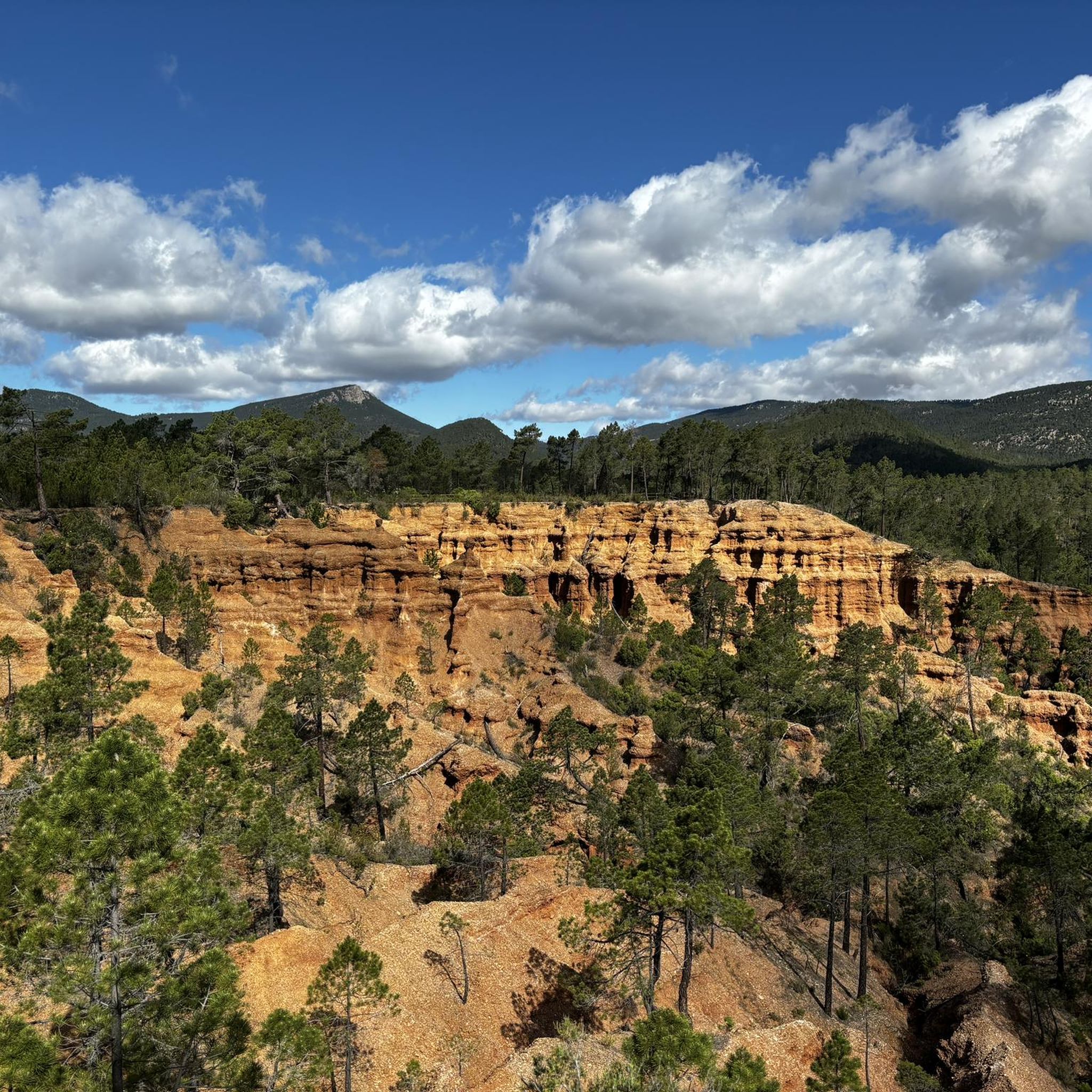
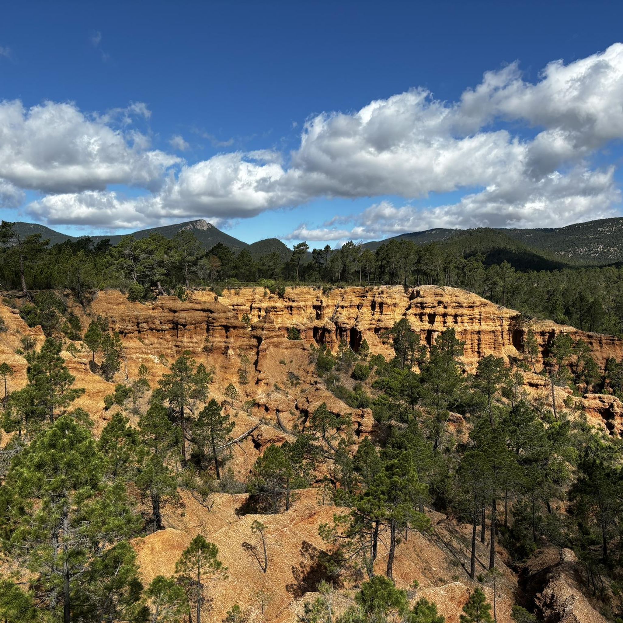
Mountain bike trails around Talayuelas are set within a mountainous landscape at an altitude of 991 meters, characterized by vast pine forests and diverse topography. The region features geological formations like El Cañón de Talayuelas with striking red rock walls, and the higher Pico de Ranera at 1430 meters. This terrain offers a mix of technical climbs, descents, and routes along crystal-clear rivers and canyons, suitable for various mountain biking disciplines.
Best mountain bike trails around Talayuelas
- The most popular…
Last updated: October 1, 2026
4.7
(3)
10
riders
44.0km
03:51
840m
840m
Moderate mountain bike ride. Good fitness required. Suitable for all skill levels.
5.0
(1)
12
riders
43.3km
03:52
910m
910m
Hard mountain bike ride. Very good fitness required. Suitable for all skill levels.

5.0
(1)
5
riders
44.0km
04:05
900m
900m
Moderate mountain bike ride. Good fitness required. Suitable for all skill levels.
1
riders
53.9km
03:35
470m
470m
Moderate mountain bike ride. Good fitness required. Suitable for all skill levels.
3
riders
36.5km
02:36
410m
410m
Moderate mountain bike ride. Good fitness required. Advanced riding skills necessary.
Get access to more routes and recommendations from other explorers.
Already have an account?
Our route recommendations are based on thousands of hikes, rides, and runs completed by other people on komoot.
Start today with a free account
Your next adventure awaits.

Tips from the Community


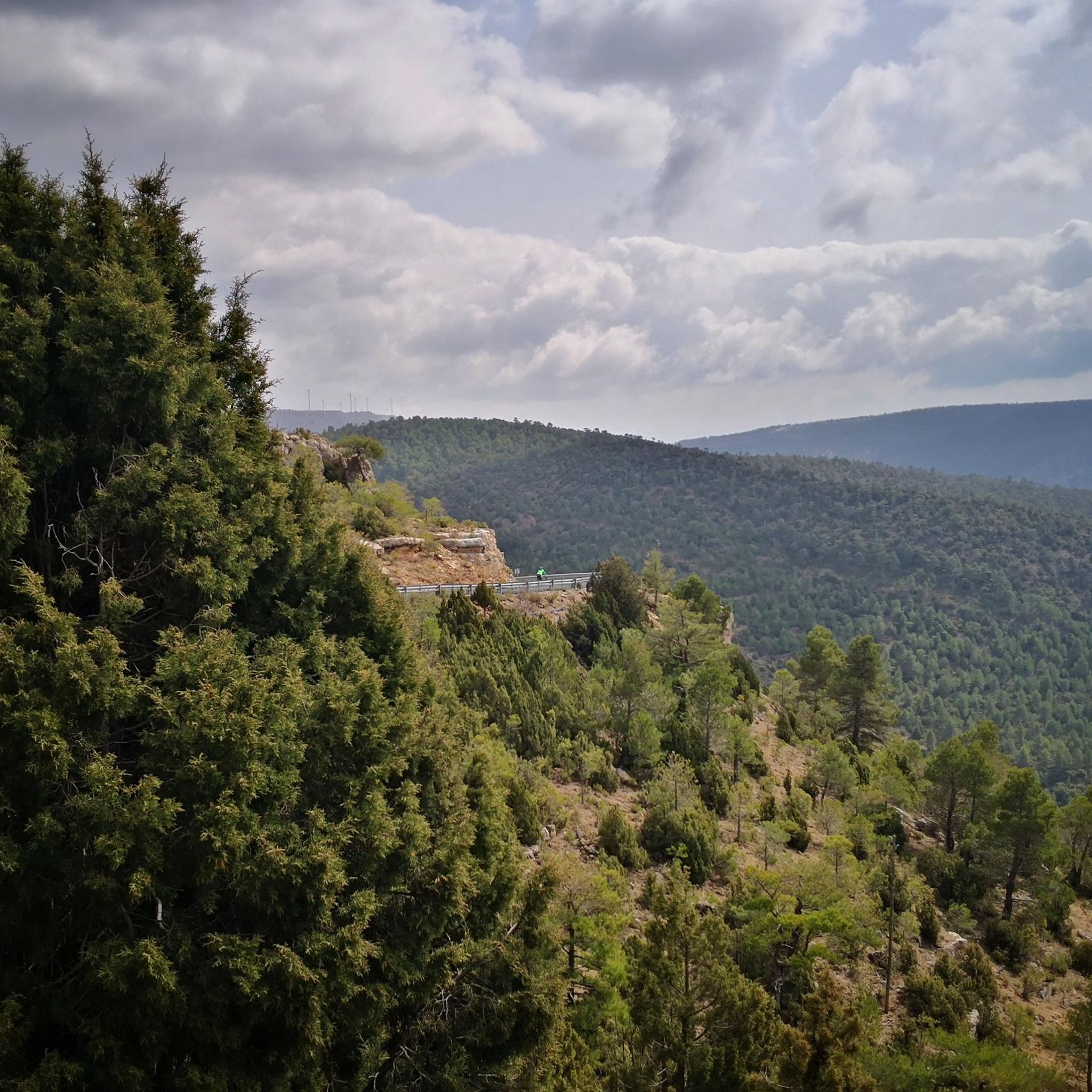
Near Sinarcas, the path that skirts the Carpio hill winds through a pine forest and offers a stretch of welcoming shade under the pine treetops, with the path curving gently between the trees and creating natural spots to stop and rest.
0
0
It is located in a quiet rural area surrounded by pine forests and Mediterranean scrubland, with trails and nature all around, and retains a typical atmosphere of the Valencian interior.
0
0
The track crosses fields with reddish soil that contrasts with the green of the plants. Sown plots stretch out on both sides while the unpaved road continues straight ahead.
0
0
Leaving La Loberuela towards the track, the path begins clearly and well defined with trail signs and small cairns indicating directions before entering the rural road between fields and hills.
0
0
This village is located on a hill between two ravines, with houses scattered around the old hermitage of San José, which in summer also serves as a meeting place for the residents.
0
0
The entrance to the village of Camporrobles leads into a typical rural village of the Utiel-Requena region, with its parish church of Our Lady of the Assumption and its bell tower visible from afar, surrounded by traditional houses and streets that lead to the village center. It is a peaceful and pleasant place, ideal for a break, stretching your legs, and recharging your batteries before continuing your journey.
0
0

Frequently Asked Questions
How many mountain bike trails are available around Talayuelas?
There are over 25 mountain bike trails around Talayuelas, offering a diverse range of options for different skill levels. You'll find everything from easy rides to challenging routes with significant elevation changes.
What kind of terrain can I expect on mountain bike trails in Talayuelas?
Mountain bike trails in Talayuelas are set within a mountainous landscape characterized by vast pine forests and diverse topography. You can expect a mix of technical climbs, thrilling descents, and routes that follow crystal-clear rivers and canyons. The region features striking geological formations and varied terrain, including singletrack and wilderness paths.
Are there mountain bike trails suitable for beginners in Talayuelas?
Yes, Talayuelas offers mountain bike trails suitable for beginners. For example, the Moya Ruins Loop from Landete is an easy 11.5-mile (18.5 km) route that explores the area around the ancient Villa de Moya, perfect for those new to mountain biking.
Are there challenging mountain bike routes for experienced riders in Talayuelas?
Absolutely. For experienced riders seeking a challenge, Talayuelas offers routes with significant elevation gain and technical sections. An example is the Sinarcas – Aliaguilla loop from Sinarcas, a difficult 26.9-mile (43.3 km) trail leading through dense pine forests and mountainous terrain, often completed in about 3 hours 52 minutes.
What natural features can I see while mountain biking in Talayuelas?
While mountain biking in Talayuelas, you can encounter spectacular natural features such as El Cañón de Talayuelas, known for its striking red rock walls. The region is also home to extensive pine forests, the high Pico de Ranera, and numerous natural springs. The Old Town of Moya is another notable historical site you might pass.
Are there any circular mountain bike routes in Talayuelas?
Yes, many mountain bike routes in Talayuelas are circular, allowing you to start and end at the same point. Examples include the Sinarcas – Fields of Sinarcas loop from Sinarcas and the Lavajos de Sinarcas loop from Sinarcas, both offering varied terrain and scenic views.
What do other mountain bikers enjoy most about the trails in Talayuelas?
The mountain bike trails around Talayuelas are highly rated by the komoot community, with an average score of 4.7 stars. Reviewers often praise the extensive pine forests, the diverse and varied terrain, and the options available for different ability levels, from easy rides to challenging routes with significant elevation changes.
Are there any family-friendly mountain bike trails in Talayuelas?
While specific family-friendly mountain bike trails are not detailed, the region offers easy routes like the Moya Ruins Loop from Landete which could be suitable for families. Additionally, the short, circular, and easy trail around the Laguna de Talayuelas is ideal for a leisurely walk or very easy cycling, and the route to Fuente de Las Canalejas is also noted as pleasant for families.
What is the best time of year for mountain biking in Talayuelas?
Talayuelas, situated at an altitude of 991 meters within a mountainous landscape, generally offers good conditions for mountain biking during spring and autumn. These seasons typically provide pleasant temperatures and stable weather, ideal for exploring the pine forests and diverse terrain.
Are there any historical sites or viewpoints along the mountain bike routes?
Yes, you can encounter historical sites and viewpoints. The Old Town of Moya, a medieval archaeological site, is accessible via routes like the Moya Ruins Loop from Landete. The region also offers panoramic views, particularly from areas like El Cañón de Talayuelas and the slopes of Pico Ranera.
Where can I find parking for mountain biking in Talayuelas?
While specific parking locations for individual trailheads are not detailed, Talayuelas is a municipality with various access points to the extensive trail network. It is generally advisable to look for parking in or near the main villages like Talayuelas or Sinarcas, which serve as common starting points for many routes.
Most popular attractions around Talayuelas

Get inspired with the komoot mobile app


Explore more
Browse the best MTB trails in other regions.
