The best MTB trails around Morga
4.7
(200)
2,256
riders
188
rides
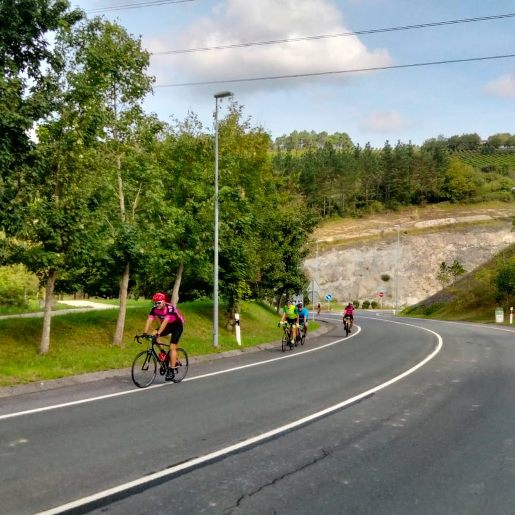
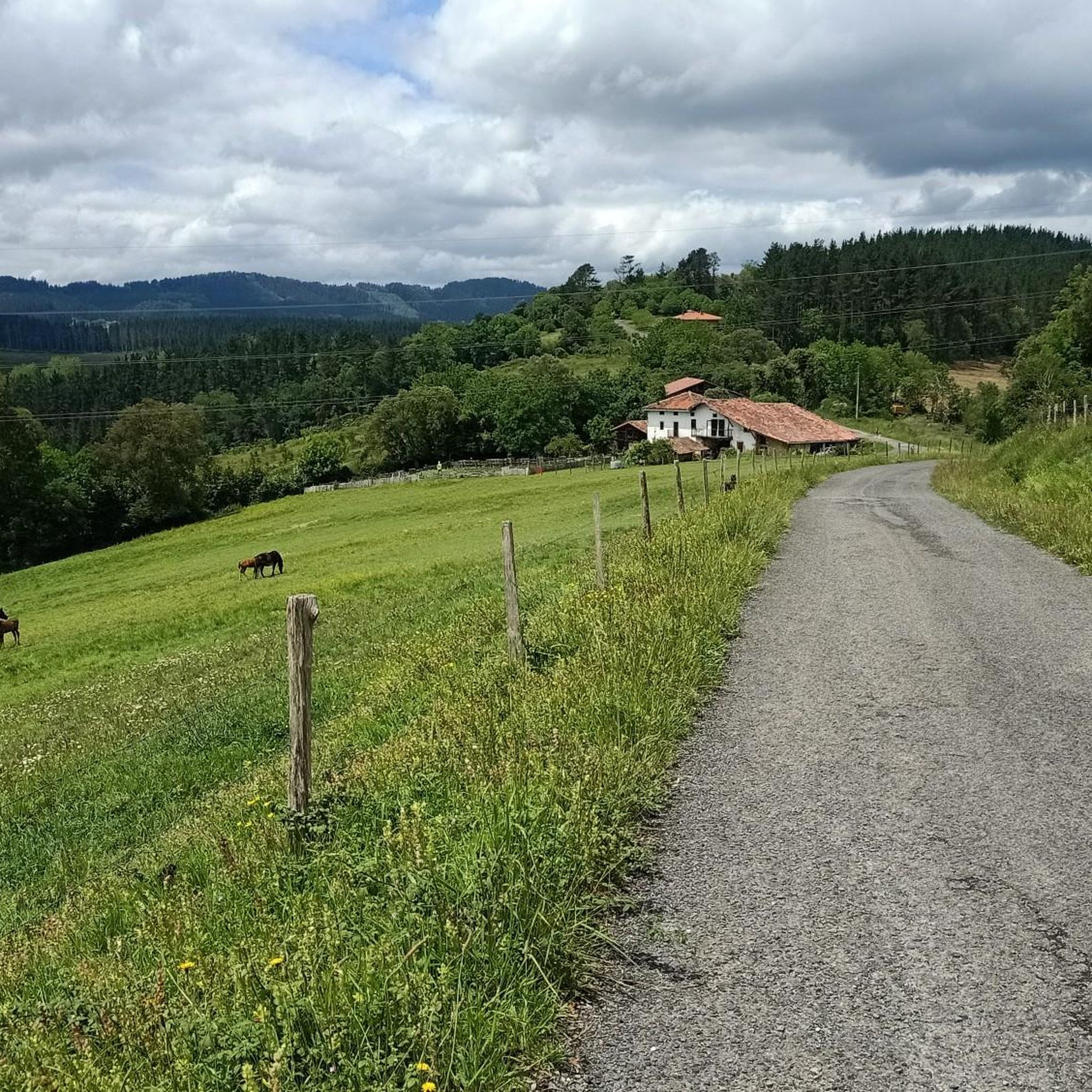
Mountain biking around Morga features a diverse landscape, offering a variety of terrain for riders. The region includes areas with integrated trail networks and purpose-built mountain biking trails, some known for technical difficulty. Riders can expect a mix of natural features and varied elevations.
Best mountain bike trails around Morga
- The most popular mountain bike trail is Centro BTT Urdaibai Ruta 8 – Reserva de la Biosfera de Urdaibai, a 29.1 miles (46.8 km) trail that takes 4 hours…
Last updated: October 7, 2026
5.0
(1)
12
riders
46.8km
04:32
1,590m
1,590m
Hard mountain bike ride. Very good fitness required. Advanced riding skills necessary.
4.8
(5)
53
riders
41.5km
03:52
1,210m
1,210m
Hard mountain bike ride. Very good fitness required. Suitable for all skill levels.

5.0
(1)
29
riders
43.8km
03:49
1,070m
1,070m
Hard mountain bike ride. Very good fitness required. Suitable for all skill levels.
4.0
(4)
25
riders
26.1km
02:11
700m
700m
Moderate mountain bike ride. Good fitness required. Suitable for all skill levels.
19
riders
39.9km
03:18
790m
790m
Moderate mountain bike ride. Good fitness required. Suitable for all skill levels.
Get access to more routes and recommendations from other explorers.
Already have an account?
Our route recommendations are based on thousands of hikes, rides, and runs completed by other people on komoot.
Start today with a free account
Your next adventure awaits.

Tips from the Community

A visit to the renovated Oma forest is highly recommended. There are 32 marked points on the ground, which even indicate the direction to look to see the visual combinations between the trees.
1
0

The municipality of Gautegiz-Arteaga preserves the only tidal flour mill that once existed on the Urdaibai estuary: the Ozollo Errota tidal mill. Furthermore, the Arteaga mill is the best preserved and the only one that retains most of its facilities. The mill was built around 1683, in the marshland of Laida Beach, in the Kanala area. An area of the marsh was used for its construction, enclosing it with walls, and it was fed by the dam in the rear reservoir. In addition to the milling house, where the drive wheels were installed, the mill has a building at the lowest point of the reservoir. This is a house located on the edge of the estuary, above the same water inlet and outlet. Therefore, the Ozollo Errota tidal mill is the most notable heritage structure in Urdaibai. The mill ceased to operate in the early decades of the 20th century and has been privately owned for several years.
1
0

The Oma Forest - Omako basoa in Basque - is also known as the painted forest, the enchanted forest or even the Ibarrola Forest. Its most common name - Oma Forest - refers to the district in which it is located, which belongs to the municipality of Kortezubi. This original work of art was created between 1982 and 1985, when the Basque painter and sculptor Agustín Ibarrola used the trunks of trees as a kind of canvas for a total of 47 images. On them he painted animals, geometric figures and people, or just parts of them, such as eyes and lips. In addition, many of the compositions do not consist of a single tree, but must be viewed in the context of several tree trunks. To do this, you must pay attention to the signs on the ground that tell the viewer where to stand in order to enjoy the whole image.
1
0

In 1982, artist Agustín Ibarrola began painting the pine trees in the forest near his homestead with the intention of using the landscape as a canvas to give continuity to his artistic expression. It is at this moment when he decides to break the law of perspective and transgress the three-dimensionality of a white line until it becomes two-dimensional. From then on, he explored the possibilities offered by the arrangement of the forest trees, playing with the different planes of depth and creating artistic sets composed of human figures, curves or straight lines, and circles of intense colors. The ideas and concepts that it develops become more complex and advances in various directions as the painted forest expands. With the help of two students from the Faculty of Fine Arts of the UPV/EHU, he carried out a large part of the work that was open to the public until 2018, at which time the biological cycle of the forest came to an end. Given the importance that the work had acquired, the Provincial Council of Bizkaia began the process of making the Forest last, for which it had from the first moment the support of the artist who had made clear his desire for the forest to survive. In this way and in order to preserve El Bosque de Oma, the Ibarrola work has been moved to a new location, also recovering original artistic ensembles lost due to felling, attacks and natural tree falls. Today we can enjoy El Bosque de Oma more complete and more faithful to the artist's original idea.
1
0
The Forest of Oma is one of the best-known works of the Basque artist Agustín Ibarrola and is an expression of the artistic movement known as Art and Nature, which emerged in the late sixties of the 20th century and whose purpose is to convey artistic work to the natural environment, using the landscape as a framework, support and raw material for the artist. The work, located in the town of Kortezubi (Bizkaia), is made up of several sets of geometric motifs and figures painted on the trunk of radiata pine trees. The use of natural living supports, the play of two-three-dimensionality and the experience of placing the visitor at the center of the work of art through his discovery, as well as the diversity of responses it proposes, make this work a reference of the Art and Nature movement and of Basque Art in particular.
1
0

This Roman necropolis is located very close to the highest point of the Sollube massif. Here they received the ashes of the cremated deceased from a nearby town, between the 1st and 3rd centuries AD. c.
0
0
At 684 meters high, this is the highest peak of the massif that bears its name. It is located on the left bank of the estuary. During the Civil War, the so-called Battle of Sollube took place on its slopes for eight days.
0
0

The castle of Arteaga, also known as the castle of Empress Eugenia de Montijo, was built in the 19th century in neo-medieval style on the foundations of an 8th century castle. Its location stands out, in a large flat meadow surrounded by vegetation, unlike the medieval defensive castles built on a hill.
1
0
Frequently Asked Questions
How many mountain bike trails are available in Morga?
Morga offers a wide selection of mountain biking routes, with over 180 trails available for exploration. These range from easy rides to challenging technical sections.
What is the best time of year to go mountain biking in Morga?
While specific seasonal recommendations for Morga are not detailed, mountain biking is generally enjoyable during spring, summer, and autumn when the weather is milder and trails are less likely to be affected by snow or heavy rain. Always check local weather conditions before heading out.
Are there easy mountain bike trails suitable for beginners in Morga?
Yes, Morga has options for beginners. There are 12 easy routes available. For a moderate but accessible experience, consider the Sollube Summit – Summit of Sollube loop from Gernika, which offers significant elevation gain but is rated moderate.
Where can I find challenging mountain bike trails in Morga?
For experienced riders seeking a challenge, Morga features 64 difficult mountain bike trails. A notable difficult route is the Centro BTT Urdaibai Ruta 8 – Reserva de la Biosfera de Urdaibai, which traverses a biosphere reserve with varied terrain and technical sections.
Are there any loop mountain bike trails in Morga?
Many of Morga's mountain bike routes are designed as loops, allowing you to start and finish at the same point. Examples include the Sollube Summit – Summit of Sollube loop from Gernika and the Artzubi Bridge – Ajangiz Village and Church loop from Gernika.
What natural landmarks can I see while mountain biking in Morga?
Morga's trails often pass by significant natural monuments. You might encounter the historic Artzubi Bridge, the unique Oma Forest, or the protected Urdaibai Biosphere Reserve.
Are there any notable viewpoints or summits along the mountain bike trails in Morga?
Yes, several trails lead to impressive viewpoints and summits. You can ride towards Sollube Summit for panoramic views, or explore routes near Ganguren Summit and Lemoatxa Summit.
What do other mountain bikers say about the trails in Morga?
The mountain bike trails in Morga are highly regarded by the komoot community, holding an average rating of 4.6 stars from over 185 reviews. Riders often praise the diverse terrain, integrated trail networks, and the significant elevation changes that make for engaging rides.
Is public transport available to access mountain bike trails in Morga?
While specific public transport links to individual trailheads in Morga are not detailed, many trail networks in similar regions are often accessible via local bus services or regional trains to nearby towns. It's advisable to check local transport schedules for routes connecting to popular starting points.
Where can I find parking near mountain bike trails in Morga?
Parking availability varies by trailhead. In areas like Morgan Hill, California, which shares characteristics with Morga's diverse terrain, designated parking lots are common near trail access points. Look for parking facilities in towns or villages close to your chosen route's starting point.
Are there cafes or places to eat near the mountain bike trails in Morga?
Many mountain bike trails in Morga pass through or near villages and towns, such as Gernika, where you can find cafes, restaurants, and other amenities to refuel. It's a good idea to plan your route to include stops in these areas.
Can I bring my dog on the mountain bike trails in Morga?
Dog-friendly policies can vary by specific trail or protected area within Morga. While some trails may welcome dogs, others, especially within nature reserves like Urdaibai, might have restrictions or require dogs to be on a leash. Always check local regulations for the specific trail you plan to ride.
Most popular attractions around Morga

Get inspired with the komoot mobile app


Explore more
Browse the best MTB trails in other regions.
