The best walks and hikes around Morga
4.5
(799)
4,558
hikers
220
hikes
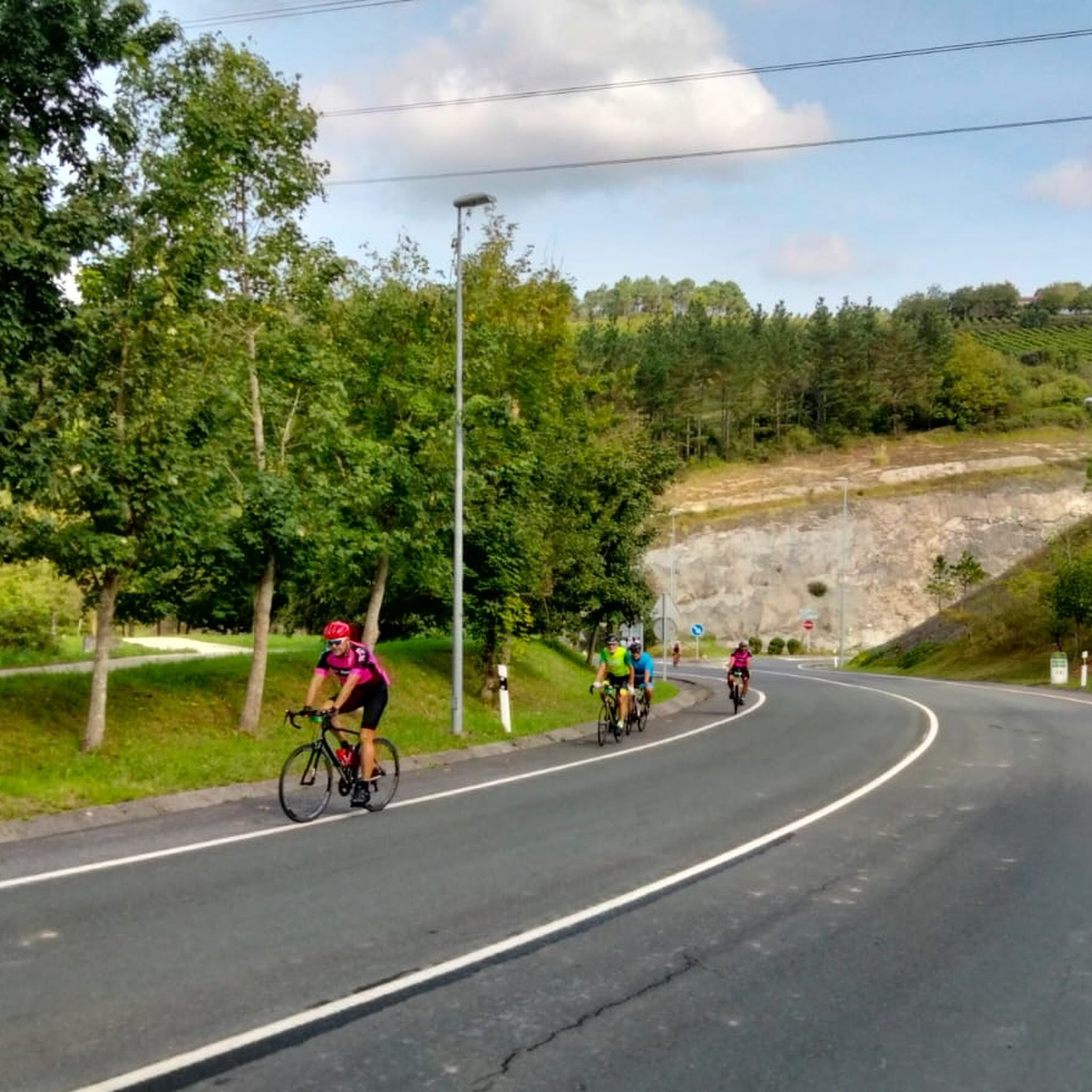
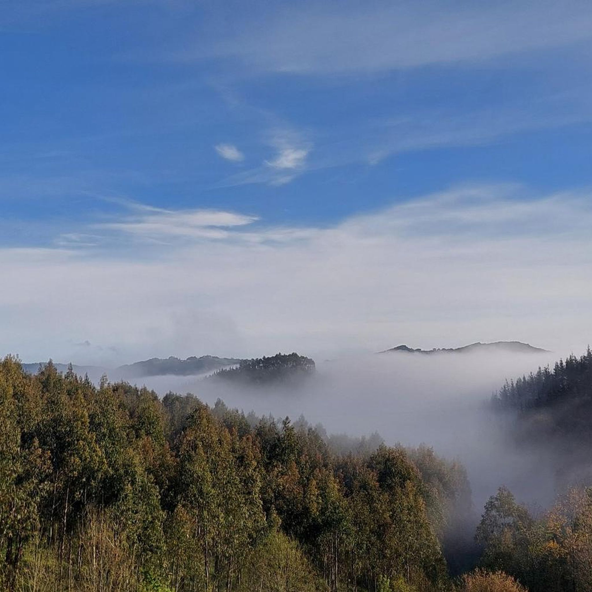
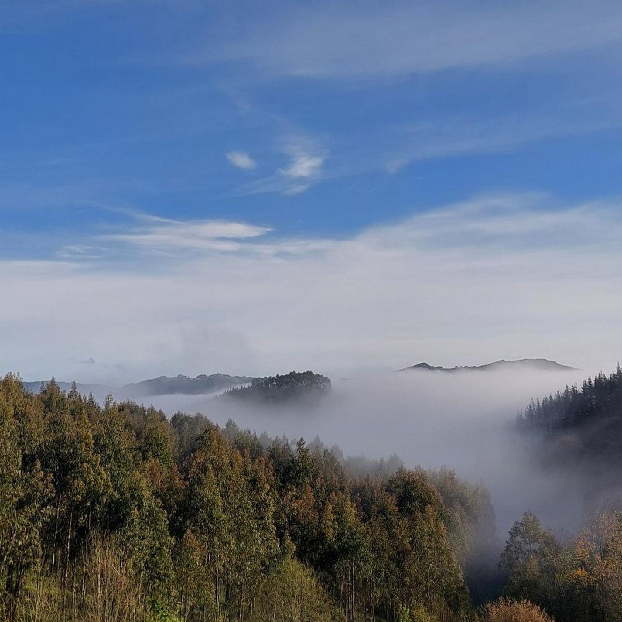
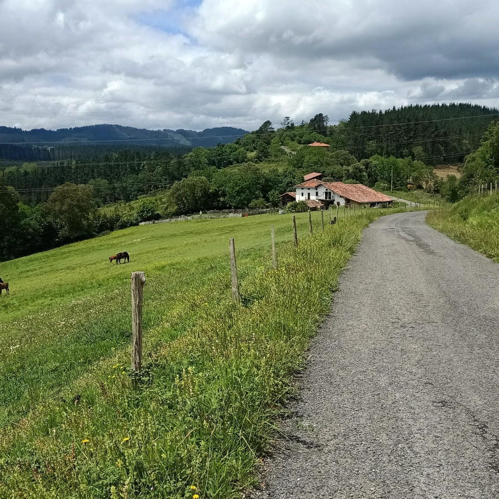
Hiking around Morga, located in Bizkaia, offers a diverse landscape characterized by rolling hills, forested valleys, and agricultural land. The region features a network of trails that navigate through varied terrain, including both gentle ascents and more challenging climbs. Hikers can expect to encounter a mix of natural woodlands and open countryside, providing different perspectives of the Basque Country. The elevation changes across the area contribute to a range of hiking experiences.
Best hiking trails around Morga
- The most popular…
Last updated: October 7, 2026
4.4
(43)
246
hikers
27.6km
08:32
990m
990m
Hard hike. Very good fitness required. Easily-accessible paths. Suitable for all skill levels.
4.8
(5)
35
hikers
16.8km
04:54
440m
440m
Moderate hike. Good fitness required. Easily-accessible paths. Suitable for all skill levels.

5.0
(3)
6
hikers
5.74km
01:36
110m
110m
Easy hike. Great for any fitness level. Easily-accessible paths. Suitable for all skill levels.
4.0
(3)
13
hikers
13.9km
04:27
580m
580m
Moderate hike. Good fitness required. Easily-accessible paths. Suitable for all skill levels.
6
hikers
14.5km
04:25
460m
460m
Moderate hike. Good fitness required. Easily-accessible paths. Suitable for all skill levels.
Get access to more routes and recommendations from other explorers.
Already have an account?
Our route recommendations are based on thousands of hikes, rides, and runs completed by other people on komoot.
Start today with a free account
Your next adventure awaits.

Tips from the Community

Recreation of Picasso's famous painting. The original can be seen in Madrid.
1
0

The historic Parliament building (Casa de Juntas) of Bizkaia in Gernikako Batzarretxea. It is located right next to the famous, iconic "Sacred Tree of Gernika". https://jjggbizkaia.eus/en/seats/gernika-assembly-hall
2
0
Bronze statue in honor of José María Iparraguirre (1820–1881), the famous Basque bard and composer of the Basque anthem "Gernikako Arbolaronze"
2
0

When the Condor attacked, the residents of Guernica tried to protect the tree with their bodies because it is sacred to the Basques. Even today, elected politicians have to swear their loyalty to the Basque Country at an oak tree that stands a few meters away.
0
0

At 684 meters high, this is the highest peak of the massif that bears its name. It is located on the left bank of the estuary. During the Civil War, the so-called Battle of Sollube took place on its slopes for eight days.
0
0

Wall reproduction of Picasso's painting "Guernica" exhibited at the Reina Sofía Museum in Paris.
0
0

A small chapel that marks the peak of Bizkargi at 557 meters. Beautiful views on a clear day.
1
0
The road between San Emeterio and San Zeledonio marks the beginning of the trail. The church as a beautiful porch to rest on a hot day or hide from the seasonal rains.
1
0
Frequently Asked Questions
How many hiking trails are available around Morga?
Morga offers a wide variety of hiking experiences, with over 220 routes documented on komoot. These trails cater to different skill levels, from easy strolls to more challenging ascents through the region's diverse landscape.
Are there easy hiking trails suitable for beginners in Morga?
Yes, Morga has a good selection of easy trails. There are 58 routes classified as easy, perfect for beginners or those looking for a relaxed walk. An example is the Gaztelumendi Summit and Bunker loop from Gamiz-Fika, which is 3.4 miles (5.5 km) long and takes about 1 hour 32 minutes.
What kind of terrain can I expect on hikes in Morga?
Hiking around Morga is characterized by rolling hills, forested valleys, and open agricultural land. You'll find a mix of natural woodlands and open countryside, with elevation changes that provide varied hiking experiences, from gentle paths to more demanding climbs.
Are there any circular walks around Morga?
Many of the trails in Morga are designed as circular routes, allowing you to start and end at the same point. For instance, the Fruiz loop from Fruiz is an easy 3.6-mile (5.7 km) circular hike that takes approximately 1 hour 36 minutes.
What are some interesting landmarks or attractions to see while hiking in Morga?
Morga's surroundings are rich with points of interest. You can explore historical sites and natural beauty. Notable attractions include the Artzubi Bridge, the unique Oma Forest, and the historically significant Old Tree of Gernika (Gernikako Arbola). Some routes, like the Sunrise Over Gernika – Gernika Tree loop from Suberteko montorra, incorporate historical points of interest directly into the trail.
Are there any challenging hikes for experienced hikers in Morga?
Yes, for those seeking a more strenuous adventure, Morga offers 23 difficult trails. An example is the Mikel Zarate Square – Bosque de Olazarre loop from Larrabetzu, a demanding 12.4-mile (19.9 km) route with significant elevation changes, typically taking over 5 hours to complete.
What do other hikers say about the trails in Morga?
The hiking trails in Morga are highly regarded by the komoot community, holding an average rating of 4.5 stars from over 600 reviews. Hikers often praise the diverse landscapes, well-maintained paths, and the opportunity to experience the natural beauty of the Basque Country.
Is Morga a good destination for family-friendly walks?
Morga offers several trails suitable for families, especially among its 58 easy routes. These paths are generally shorter and have less challenging terrain, making them enjoyable for all ages. Look for routes with lower elevation gain and shorter distances for the best family experience.
Are there options for public transport to access hiking trails in Morga?
While specific public transport connections to every trailhead in Morga can vary, the region is part of Bizkaia, which has a public transport network. It's advisable to check local bus schedules for routes connecting to villages or starting points near your chosen trail. Many trails are accessible from towns within the area.
When is the best time of year to go hiking in Morga?
Morga's climate, typical of the Basque Country, makes hiking enjoyable for much of the year. Spring and autumn generally offer pleasant temperatures and vibrant scenery, with fewer crowds. Summer can be warm but is still suitable, especially for early morning or late afternoon hikes. Winter hiking is possible, but some higher or more exposed trails might require appropriate gear due to cooler temperatures and potential for rain.
Are there any viewpoints or scenic overlooks on the trails around Morga?
Given Morga's rolling hills and varied terrain, many trails offer scenic viewpoints overlooking forested valleys and the surrounding countryside of Bizkaia. While specific named viewpoints aren't always highlighted, the natural elevation changes on routes frequently provide expansive vistas of the region's characteristic landscapes.
Most popular attractions around Morga

Get inspired with the komoot mobile app


Explore more
Browse the best Hikes in other regions.
