The best MTB trails around Alustante
4.7
(17)
701
riders
67
rides
Mountain bike trails around Alustante are situated within the Iberian System, featuring a significant portion of the Alto Tajo Natural Park. The region is characterized by extensive Scots pine forests, varied topography including high peaks like Valdefuentes and El Banderín, and unique red sandstone rock formations near Chequilla. Abundant water sources, such as the Fuentes del Endrino and river valleys like the Río Marío, contribute to the diverse landscape. This area offers a mix of challenging mountainous terrain and scenic…
Last updated: October 4, 2026
70
riders
65.0km
07:08
1,920m
1,910m
Hard mountain bike ride. Very good fitness required. Advanced riding skills necessary. Some portions of the route may require you to push your bike.
13
riders
44.0km
04:27
1,100m
1,100m
Hard mountain bike ride. Very good fitness required. Suitable for all skill levels.

2
riders
30.4km
02:24
400m
400m
Moderate mountain bike ride. Good fitness required. Suitable for all skill levels.
2
riders
Moderate mountain bike ride. Good fitness required. Suitable for all skill levels.
5.0
(1)
3
riders
Hard mountain bike ride. Good fitness required. Advanced riding skills necessary. Some portions of the route may require you to push your bike.
Get access to more routes and recommendations from other explorers.
Already have an account?
Our route recommendations are based on thousands of hikes, rides, and runs completed by other people on komoot.
Start today with a free account
Your next adventure awaits.

Tips from the Community

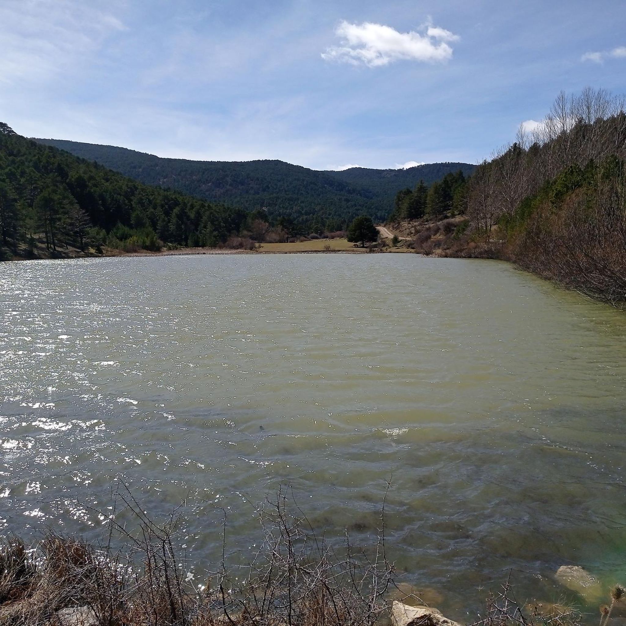
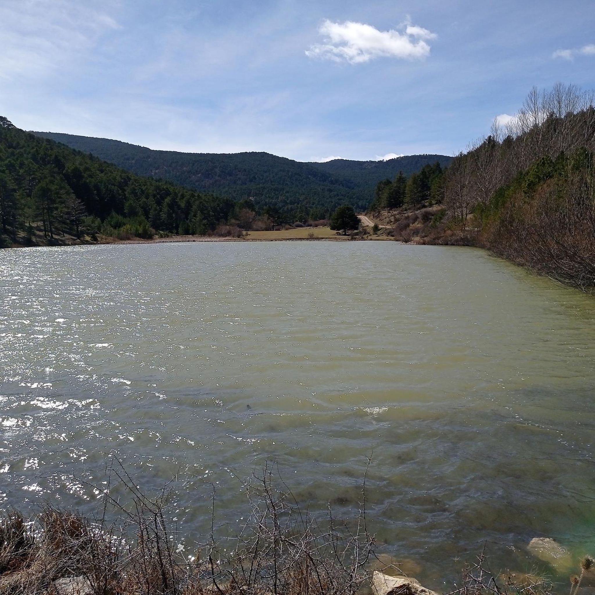
Ideal place to relax for a while, refill water and contemplate the surrounding nature
0
0
The municipality of Orihuela del Tremedal has many trails and paths in its surroundings available for MTB, in addition to having nearby peaks around 1900 meters.
0
0

Orihuela del Tremedal has its roots in medieval times. It is believed that the town was founded in the 12th century, during the Reconquista, when Christians recovered territories from the Muslims.
12
0
Orihuela del Tremedal has its roots in medieval times. It is believed that the town was founded in the 12th century, during the Reconquista, when Christians recovered territories from the Muslims.
14
0

Beautiful rock formations, take your time to admire them.
0
0

a great place of peace and security
0
0

refuge with better conditions than the rest
0
0
Frequently Asked Questions
How many mountain bike trails are available around Alustante?
There are over 60 mountain bike trails around Alustante, offering a wide range of options for different skill levels. The majority are moderate to difficult, with a few easier routes available.
What kind of terrain can I expect on mountain bike trails in Alustante?
Mountain bike trails in Alustante feature diverse terrain, including extensive Scots pine forests, varied topography with high peaks, and unique red sandstone rock formations, especially near Chequilla. You'll encounter both challenging mountainous sections and scenic routes through natural parks.
Are there mountain bike trails suitable for beginners or families in Alustante?
While many trails are moderate to difficult, there are a few easier routes available. For families or beginners, it's recommended to look for trails specifically marked as 'easy' on komoot. The region's varied landscape means some paths will be less technical and more suitable for a relaxed ride.
What are some notable natural features or landmarks I might see while mountain biking in Alustante?
You can expect to see spectacular high-altitude views from points like the Mirador de la Sierra Alta. The area is also known for unique red sandstone formations, particularly around The towers of Chequilla and Chequllia red rocks. The region is rich in water sources, including the Fuentes del Endrino recreational area and river valleys like the Río Marío.
Are there any challenging mountain bike routes for experienced riders?
Yes, Alustante offers several challenging routes. For instance, the Montes Universales — circular desde Bronchales is a difficult 40.5 km path exploring challenging terrain. Another demanding option is the Lago El Cura – Orihuela del Tremedal loop from Orihuela del Tremedal, which covers over 61 km with significant elevation gain.
What is the best time of year to go mountain biking in Alustante?
The best time for mountain biking in Alustante is generally during spring and autumn when temperatures are milder and the natural scenery is vibrant. Summer can be warm, especially at lower elevations, while winter may bring snow to higher peaks, making some trails inaccessible or requiring specialized gear.
Are there any circular mountain bike routes in the Alustante area?
Yes, many routes in the area are circular. An example is the moderate Bronchales Sierra Alta — circular por la Sierra de Albarracín, which is 35 km long. Another option is the difficult Bronchales Town Center – Cuchillos de Noguera loop from Bronchales.
What do other mountain bikers enjoy most about the trails in Alustante?
The mountain bike trails around Alustante are highly rated by the komoot community, with an average score of 4.4 stars. Reviewers often praise the diverse terrain, the extensive pine forests, and the stunning high-altitude views, particularly highlighting the unique rocky formations and abundant water sources.
Are there any places to stay or eat near the mountain bike trails in Alustante?
Alustante and nearby villages offer accommodation options. The region also features several refuges and shelters, such as La Portera Refuge and Viewpoint and El Collado Refuge, which can be useful for longer rides. You'll find local establishments in the villages for food and drinks.
Can I find mountain bike trails that pass by historical sites or cultural attractions?
Yes, some routes may pass near historical sites. For example, the medieval town of Orihuela del Tremedal, with roots dating back to the 12th century, is accessible from some trails. You might also encounter the 16th-century Gothic-style parish church in Alustante or the ancient reconstructed Molino de Alustante.
Are there any specific regulations or permits needed for mountain biking in the Alto Tajo Natural Park?
A significant portion of Alustante's mountainous southern territory is part of the Alto Tajo Natural Park. While general access for mountain biking is usually permitted on marked trails, it's always advisable to check the official park regulations for any specific restrictions, especially concerning protected areas or during certain seasons, to ensure compliance.
Most popular attractions around Alustante

Get inspired with the komoot mobile app


Explore more
Browse the best MTB trails in other regions.
