The best walks and hikes around Alustante
4.4
(50)
439
hikers
77
hikes
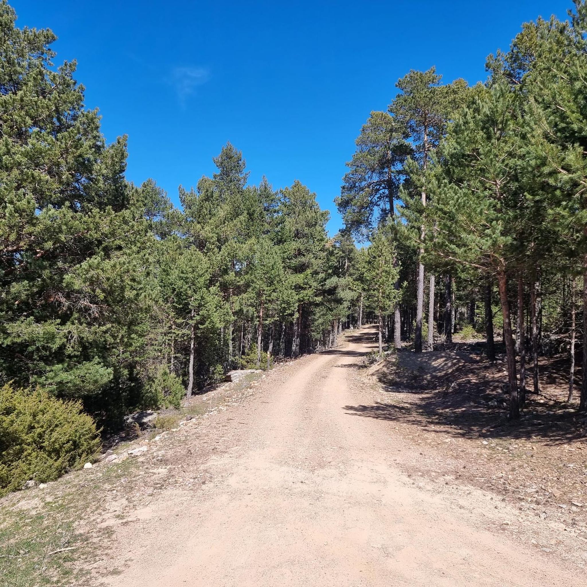
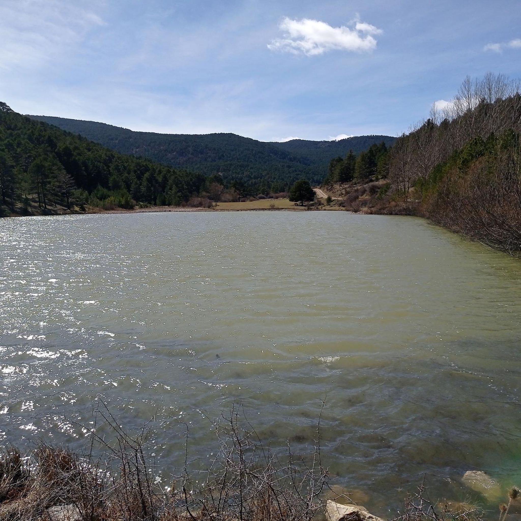
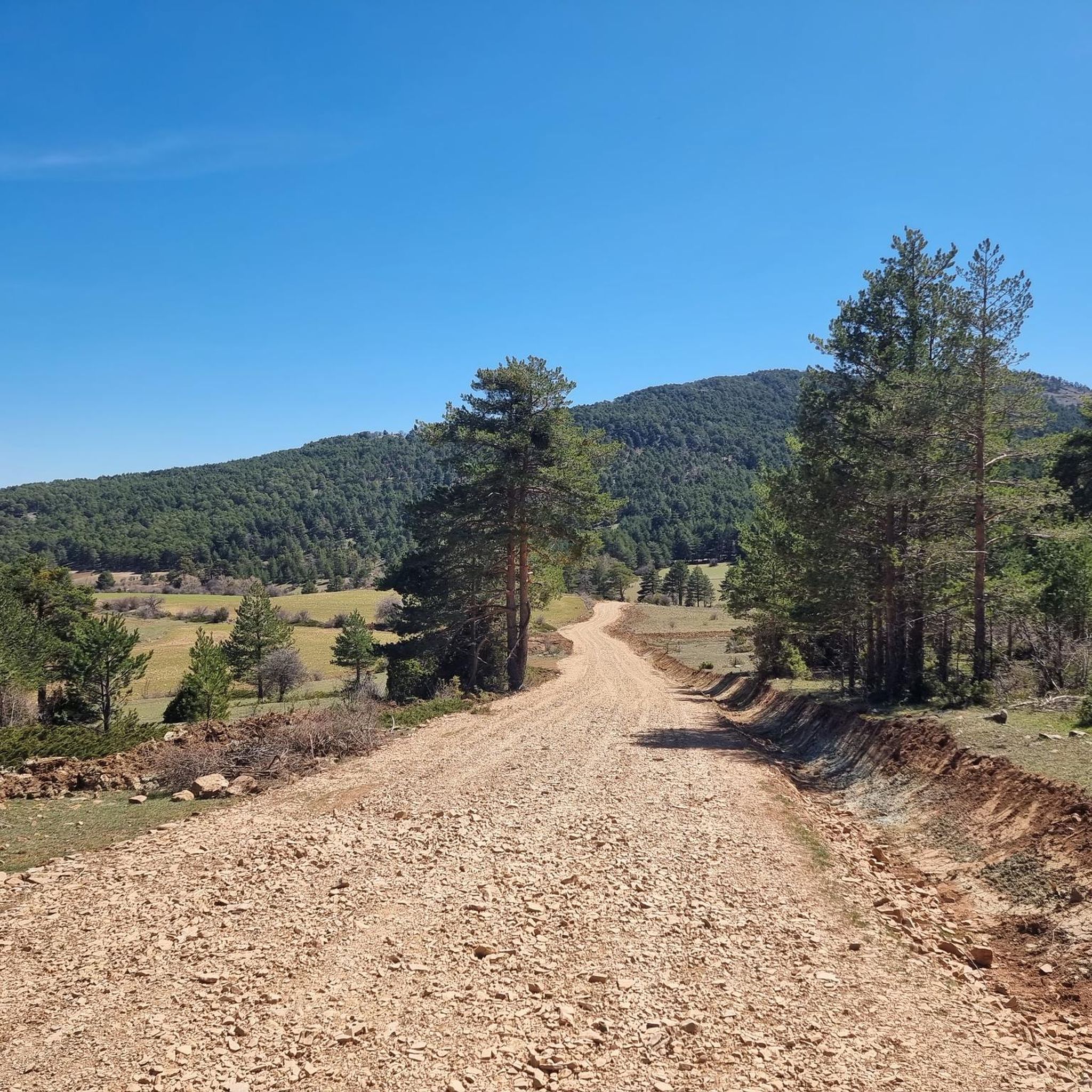
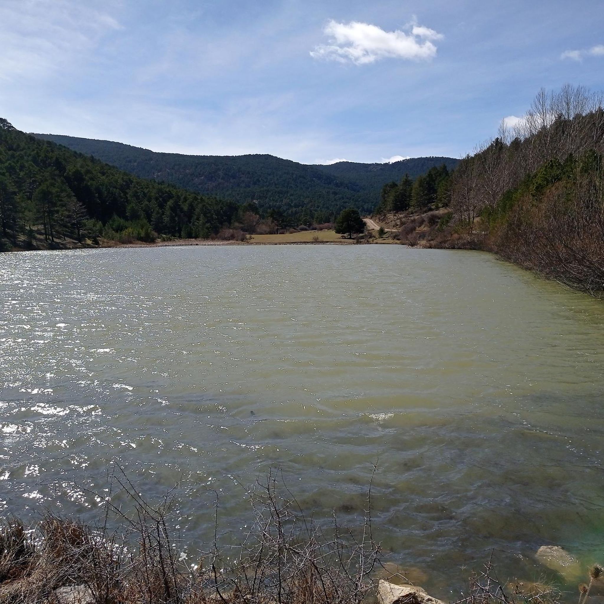
Hiking around Alustante offers diverse terrain within the Iberian System, characterized by significant geological features including Paleozoic and Triassic deposits, and unique red sandstone formations. The region features extensive pine and oak forests, particularly within the Alto Tajo Natural Park, alongside gentle hills and deeper ravines. This varied landscape provides a range of hiking experiences, from ancient geological sites to dense woodlands.
Best hiking trails around Alustante
- The most popular hiking route is Fuente del Canto Trail (PR-TE 130),…
Last updated: October 4, 2026
3.7
(3)
10
hikers
10.9km
03:04
220m
220m
Hike the moderate 6.8-mile Fuente del Canto Trail (PR-TE 130) in Sierra de Albarracín, exploring springs and forested paths.
7
hikers
9.60km
03:13
390m
390m
Moderate hike. Good fitness required. Mostly accessible paths. Sure-footedness required.

2.0
(1)
1
hikers
5.91km
01:45
180m
180m
Discover the easy 3.7-mile Ojos del Tremedal hike from Orihuela del Tremedal, featuring unique reddish springs and pine forests.
4.0
(2)
11
hikers
10.0km
02:48
190m
190m
Moderate hike. Good fitness required. Easily-accessible paths. Suitable for all skill levels.
5.0
(2)
23
hikers
8.14km
02:28
270m
270m
Moderate hike. Good fitness required. Easily-accessible paths. Suitable for all skill levels.
Get access to more routes and recommendations from other explorers.
Already have an account?
Our route recommendations are based on thousands of hikes, rides, and runs completed by other people on komoot.
Start today with a free account
Your next adventure awaits.

Tips from the Community

Ideal place to relax for a while, refill water and contemplate the surrounding nature
0
0
Perfect place to stop to cool off, refill water, and contemplate the wonderful pine forest of the port of Orihuela
0
0

The Enchanted Forest Fountain of Little Witch Brigitta in Bronchales is one of the highlights of the route to this magical corner of the Sierra de Albarracín. It's located on the access road to the Enchanted Forest, about 1.6 km from the town park, just before reaching the fenced area where the magical figures are located.
4
0
Brigitta the Witch's Enchanted Forest in Bronchales is a magical place full of fantasy, ideal for a family visit or simply to enjoy a unique walk surrounded by nature. More than 80 figures are handmade from recycled materials: Elves, fairies, witches, gnomes, forest animals, and mushroom and stone houses. The entire collection was created by María Pilar Gracia Miranda, artist and teacher, who integrated these pieces into the natural forest environment.
4
0
The Mirador de la Sierra Alta in Noguera de Albarracín is one of the most spectacular spots in the Sierra de Albarracín, ideal for nature lovers, photographers, and hikers. It is located approximately 1,854 meters above sea level, making it one of the highest points in the area.
4
0
Orihuela del Tremedal has its roots in medieval times. It is believed that the town was founded in the 12th century, during the Reconquista, when Christians recovered territories from the Muslims.
14
0

The top of the Sierra Alta is 1854 meters above sea level. From the viewpoint of the Sierra Alta we will have impressive views of infinite pine trees that we will surely photograph. The access here is really good.
1
0
We are in Bronchales, a town located in the Sierra de Albarracín, in the southwest of the province of Teruel with a diversity of natural and cultural heritage such as the beautiful Hermitage of Santa Bárbara or the parish church. For lovers of mountain biking, the Bronchales Sierra Alta race begins here, one of the best in the Sierra de Albarracín with endless climbs and heart-stopping descents through the dense Scots pine forests of the Montes Universales at an average altitude of 1,500 meters above sea level.
4
0
Frequently Asked Questions
How many hiking trails are available in Alustante?
Alustante offers a wide variety of hiking experiences with over 55 routes. These trails cater to different skill levels, from easy strolls to more challenging treks through the diverse landscapes of the Iberian System.
What kind of natural features can I expect to see while hiking in Alustante?
Hikers in Alustante will encounter a rich tapestry of natural features. The region is known for its unique geological diversity, including ancient Paleozoic and Triassic deposits, and striking red sandstone formations, particularly around Chequilla. You'll also traverse extensive pine and oak forests, especially within the Alto Tajo Natural Park, and discover natural water sources like the Endrino, Acebo, and Arrieros fountains.
Are there any circular hiking routes in Alustante?
Yes, Alustante features several circular routes perfect for exploring the area. One popular option is the Orihuela del Tremedal – circular via the Camino de los Griegos (SL-TE 43), which offers scenic views of forests and historical paths.
What do other hikers say about the trails in Alustante?
The hiking trails in Alustante are highly regarded by the komoot community, boasting an average rating of 4.5 stars from over 30 reviews. Hikers often praise the varied terrain, the natural beauty, and the well-maintained paths that allow for immersive outdoor experiences.
Are there any family-friendly hiking options in Alustante?
Absolutely. Alustante has 16 easy routes suitable for families or those looking for a more relaxed walk. A good example is the Our Lady of Tremedal Trail, which is just under 6 km and takes about 1 hour 45 minutes to complete, leading through pleasant natural scenery.
Can I hike with my dog in Alustante?
Yes, Alustante's natural environment is generally dog-friendly. When hiking with your dog, it's always recommended to keep them on a leash, especially in areas with wildlife or livestock, and to respect local regulations, particularly within the Alto Tajo Natural Park.
Are there any specific viewpoints or panoramic spots along the trails?
For breathtaking panoramic views, consider visiting the Mirador de la Sierra Alta. The Sierra Alta Summit is a notable highlight, offering spectacular vistas over the region's diverse landscapes.
What are some unique geological formations to explore in the Alustante area?
The Alustante region is a geological marvel. You can explore the ancient Paleozoic origins of the Macizo de las Neveras or witness the unique red sandstone formations around Chequilla, often referred to as The towers of Chequilla, which have been sculpted by millennia of erosion.
What is the best time of year to go hiking in Alustante?
The best time for hiking in Alustante is generally during the spring and autumn months when the weather is mild and the natural scenery is at its most vibrant. Summer can be warm, but the higher elevations and forested areas offer cooler conditions. Winter hiking is possible, but some trails may be affected by snow or ice, especially at higher altitudes.
Are there any historical or cultural sites accessible by trail?
Beyond its natural beauty, Alustante offers glimpses into its past. Hikers can encounter historical elements such as the Celtiberian settlement of Castildelobos. The medieval origins of nearby settlements like Orihuela del Tremedal also add a layer of cultural interest to the hiking experience.
Are there any longer or more challenging routes for experienced hikers?
While Alustante has a good number of moderate trails, there are also 2 difficult routes for those seeking a greater challenge. The varied terrain, including deeper ravines and mountainous zones within the Iberian System, provides opportunities for more strenuous hikes. A moderate option that offers a good workout is the Caimodorro loop from El Atajo, covering over 9 km with significant elevation gain.
What is the most popular hiking route in Alustante?
The most popular hiking route among the komoot community is the Fuente del Canto Trail (PR-TE 130). This moderate 10.9 km trail takes approximately 3 hours to complete and explores a variety of natural landscapes, making it a local favorite.
Most popular attractions around Alustante

Get inspired with the komoot mobile app


Explore more
Browse the best Hikes in other regions.
