The best road cycling routes around Pradoluengo
5.0
(6)
530
riders
16
rides
Road cycling routes around Pradoluengo are situated in the eastern part of Burgos province, within the Montes de Oca region and bordering La Rioja. The area is characterized by diverse terrain, including challenging ascents and comfortable mountain passes, primarily on paved surfaces. It lies within the Sierra de la Demanda, a mountain range known for its natural beauty, varied ecosystems, and extensive forests of pine, oak, and beech. This landscape offers a range of road cycling experiences for various fitness…
Last updated: May 16, 2026
5.0
(1)
16
riders
42.8km
02:00
520m
520m
Moderate road ride. Good fitness required. Mostly well-paved surfaces and easy to ride.
5.0
(1)
148
riders
101km
05:58
2,470m
2,470m
Hard road ride. Very good fitness required. Some segments of this route may be unpaved and difficult to ride.

Sign up for free
98
riders
82.4km
04:34
1,740m
1,740m
Hard road ride. Very good fitness required. Mostly well-paved surfaces and easy to ride.
5.0
(1)
52
riders
72.6km
03:49
1,300m
1,300m
Hard road ride. Very good fitness required. Mostly well-paved surfaces and easy to ride.
51
riders
122km
05:28
980m
980m
Hard road ride. Very good fitness required. Some segments of this route may be unpaved and difficult to ride.
Get access to more routes and recommendations from other explorers.
Sign up for free
Already have an account?
Our route recommendations are based on thousands of hikes, rides, and runs completed by other people on komoot.
Start today with a free account
Your next adventure awaits.
Login or Signup
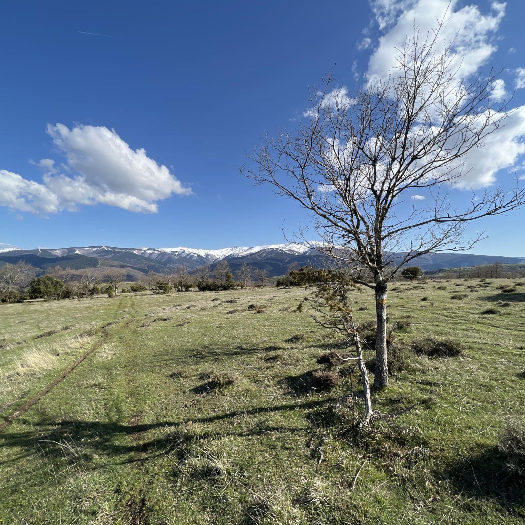
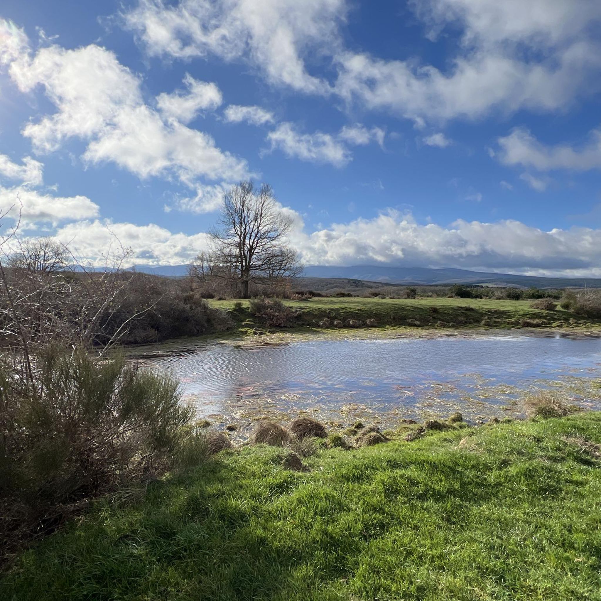
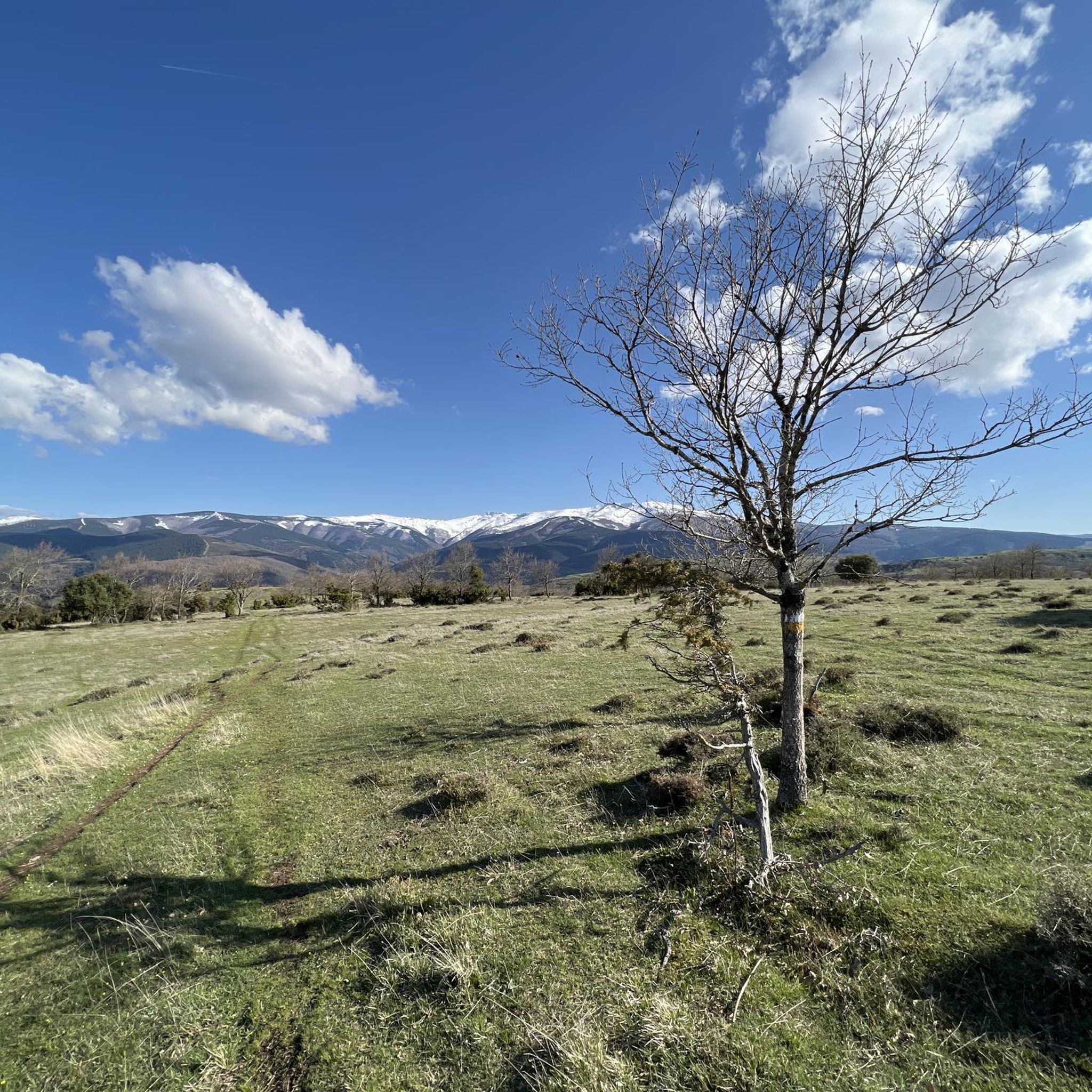
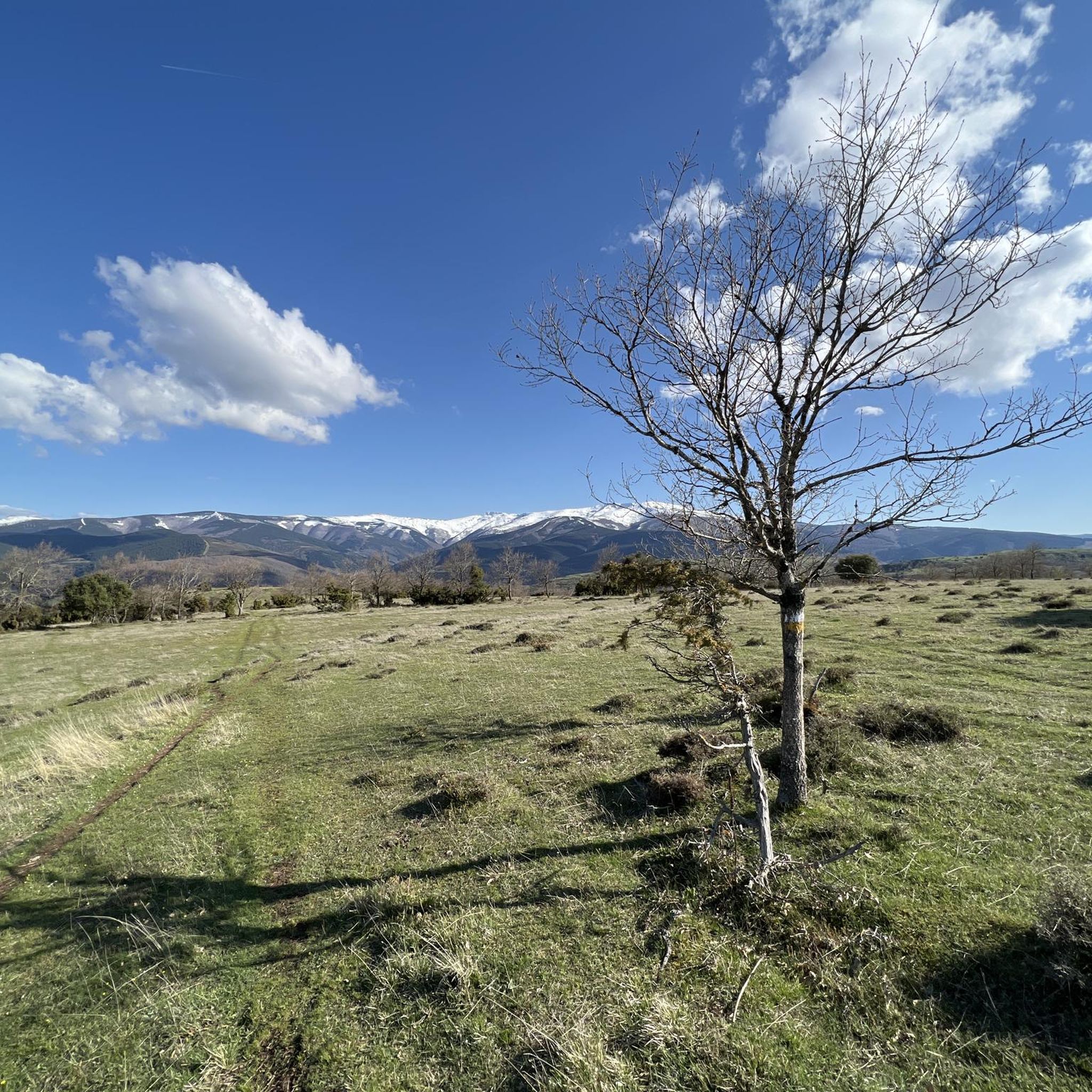
Tips from the Community

The Church of the Assumption of Our Lady in Villagalijo is a Gothic church located south of the town center, in the heart of the Sierra de la Demanda. The building stands out for its medieval sobriety and its location in a mountainous setting, where small villages retain a distinctly rural character. It is a good point of interest for those visiting this border area between Burgos and La Rioja, combining historical heritage with the opportunity to follow hiking trails through the nearby mountains, such as the Dos Aguas GR-290 trail.
1
0
Fresneda de la Sierra Tirón is a small town in Burgos, located in the heart of the Sierra de la Demanda, very close to La Rioja. It is an attractive destination for hikers due to its mountainous surroundings and the proximity of places like Pozo Negro, a turquoise glacial lagoon in the shadow of Otero Peak. The town preserves historical remains and traditions, with the Church of the Assumption and hermitages as points of interest. From here, trails depart to peaks such as Otero, Cabeza Aguílez, and Torocuervo, ideal for enjoying panoramic views and beech and oak forests.
1
0

The perfect stop to replenish your energy after a bike ride (or walking, or skiing...) around Ezcaray
0
0
Romanesque church dating back to the 12th century on the outskirts of Valgañón, a town in the Sierra de la Demanda near Ezcaray. A great stop to get water on the way up to the top of Pradilla.
0
0
A comfortable mountain pass that connects the provinces of Burgos and La Rioja. Both sides have beautiful views, and it is worth climbing both.
0
0

With the mountain route you can go up from Fresneda, reach the Pozo Negro (durillo), and from there to the Cruz de la Demanda, returning to Fresneda by road and passing through the top of La Pradilla.
0
0

Beautiful little town - as the name suggests. With great hostels and a large Plaza Mayor, where you can find many restaurants. The town is impressive because of the many paintings on the houses, but this is another highlight. Because these paintings cannot be found on the Plaza Mayor.
4
1
Completely paved in 2024. Perfect road surface.
0
0
Frequently Asked Questions
How many road cycling routes are available around Pradoluengo?
There are over 15 road cycling routes available around Pradoluengo, offering a diverse range of experiences. These routes are highly rated by the komoot community, with an average score of 5.0 stars.
What kind of terrain can I expect on road cycling routes near Pradoluengo?
The terrain around Pradoluengo is diverse, characterized by challenging ascents and comfortable mountain passes, primarily on paved surfaces. You'll be cycling through the Sierra de la Demanda, known for its natural beauty, varied ecosystems, and extensive forests of pine, oak, and beech.
Are there any particularly challenging climbs for experienced road cyclists in the area?
Yes, Pradoluengo is known for its demanding climbs. The Alto de Pradilla – Cruz de la Demanda Pass loop from Alto de Pradilla includes the notable Cruz de la Demanda climb, which has been featured in professional cycling races like the Vuelta a España, with substantial gradients sometimes reaching 12-13%. Another challenging ascent is the Alto de la Pradilla, with an average gradient of 5.2% over about six kilometers.
What are some scenic viewpoints or landmarks I can see while road cycling around Pradoluengo?
Many routes offer impressive viewpoints, such as those near the peak of La Rasilla, providing expansive vistas across the Sierra de la Demanda. You might also pass through charming villages and historical sites. The Alto de Pradilla itself offers beautiful panoramic views. Nearby, you can explore the Plaza Mayor de Belorado in the historic town of Belorado.
When is the best time of year to go road cycling in Pradoluengo?
The region is excellent for outdoor activities, including road cycling, for much of the year. The forests of pine, oak, and beech are particularly stunning during autumn when the foliage transforms into vibrant colors, making it a visually rewarding experience. Summer offers warm, generally stable weather for longer rides.
Are there any family-friendly road cycling options in Pradoluengo?
While many road cycling routes in Pradoluengo feature challenging ascents, the region also offers the 'Vía Verde de la Sierra de la Demanda'. This old railway line, converted into a greenway, provides a mix of compacted asphalt and gravel surfaces, making it suitable for more relaxed cycling with family, away from road traffic.
Can I bring my dog on road cycling routes in Pradoluengo?
Road cycling routes are generally on paved roads and may not be ideal for dogs due to traffic and hard surfaces. However, the 'Vía Verde de la Sierra de la Demanda' is a multi-use trail that is often suitable for dogs on a leash, offering a safer and more natural environment for them to accompany you.
Where can I find parking for my car and bike when cycling in Pradoluengo?
Pradoluengo, as a town nestled in a popular outdoor activity region, typically offers public parking facilities. For specific starting points of routes, it's advisable to check local signage or use navigation apps that indicate parking areas near trailheads or town centers.
Are there any circular road cycling routes around Pradoluengo?
Yes, many of the road cycling routes around Pradoluengo are designed as loops. For example, the Alto de la Pradilla Loop from Belorado and the Alto de Pradilla – Cruz de la Demanda Pass loop from Alto de Pradilla are popular circular options that allow you to start and finish in the same location.
What is the longest road cycling route available near Pradoluengo?
One of the longer and more challenging routes is the Alto de Pradilla – Cruz de la Demanda Pass loop from Alto de Pradilla, which spans approximately 100.8 km (62.7 miles) and features significant elevation gain.
Are there any lakes or reservoirs visible from the road cycling routes?
While many road cycling routes focus on mountain passes and forests, the broader Sierra de la Demanda region does feature several beautiful bodies of water. The 'Vía Verde de la Sierra de la Demanda' offers views of the Arlanzón Reservoir. Other nearby lakes include EmbalseDeAlba and Úzquiza Reservoir.
What is the average difficulty level of road cycling routes in Pradoluengo?
The routes around Pradoluengo offer a mix of challenges. While there are no routes classified as 'easy' for road cycling, there are 9 moderate routes and 8 difficult routes. This means you can find options suitable for various fitness levels, from moderate rides to hard, long excursions with significant elevation gain.
Most popular attractions around Pradoluengo

Get inspired with the komoot mobile app


Explore more
Browse the best Road cycling routes in other regions.
