The best road cycling routes around Castelló De La Ribera
4.5
(93)
8,166
riders
12
rides
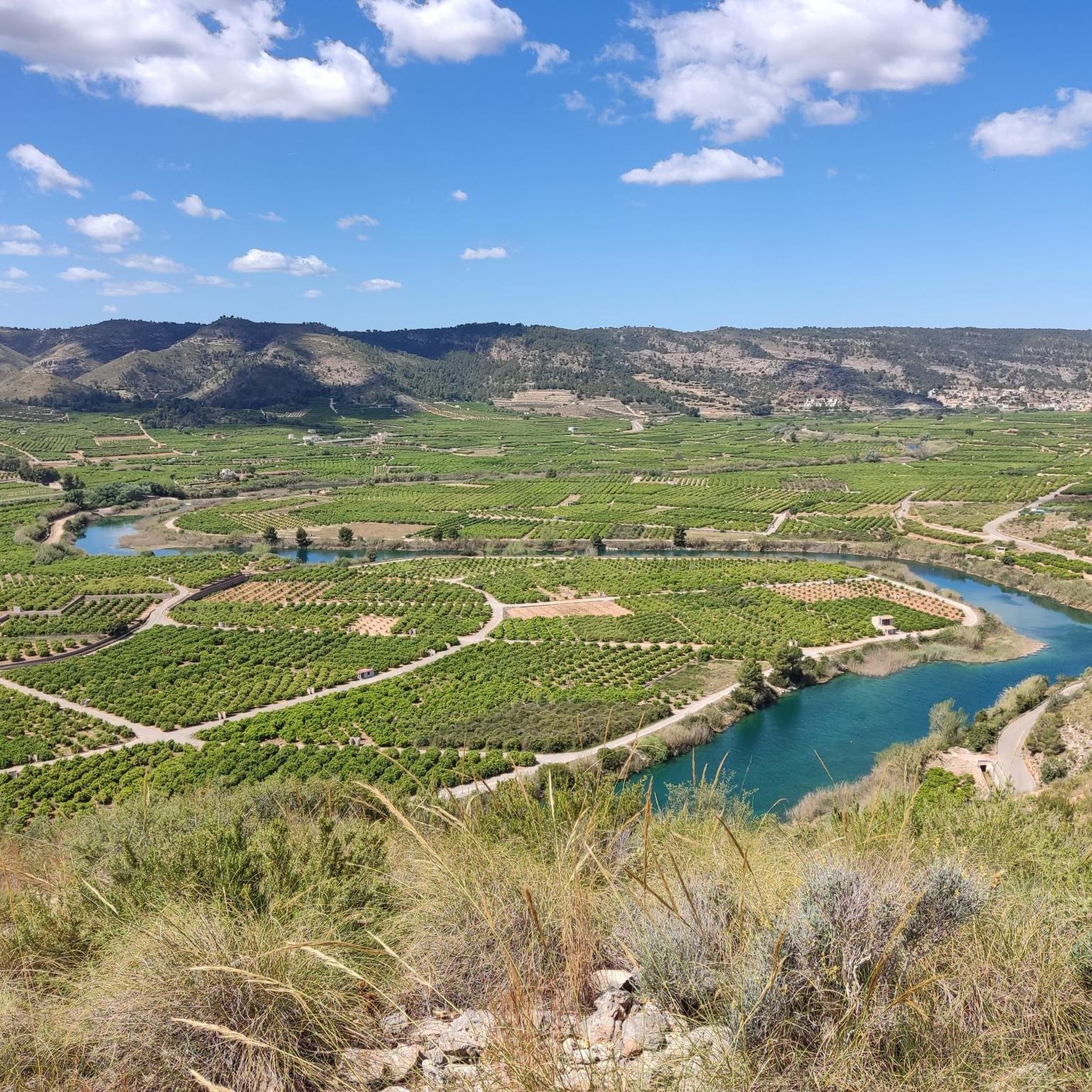
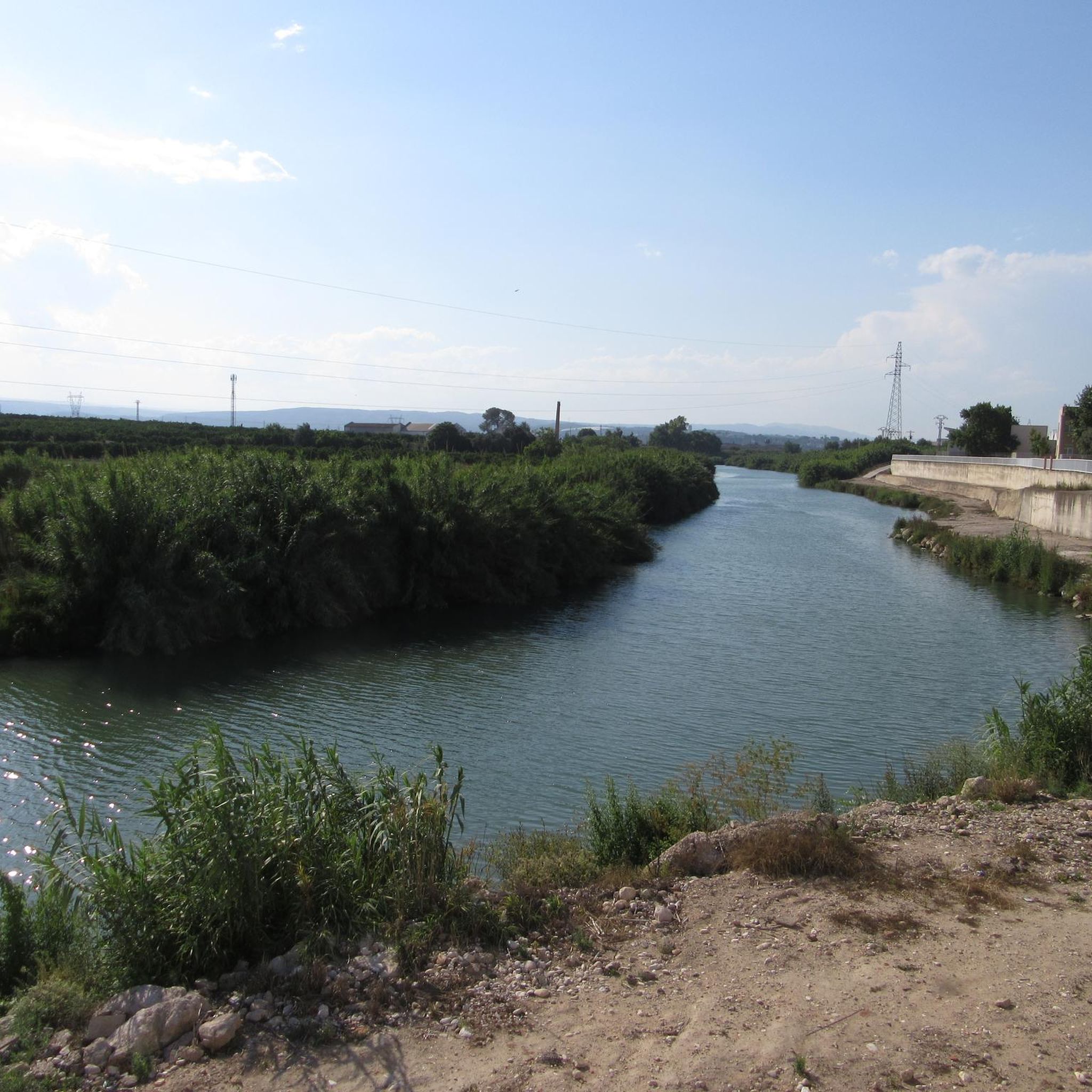
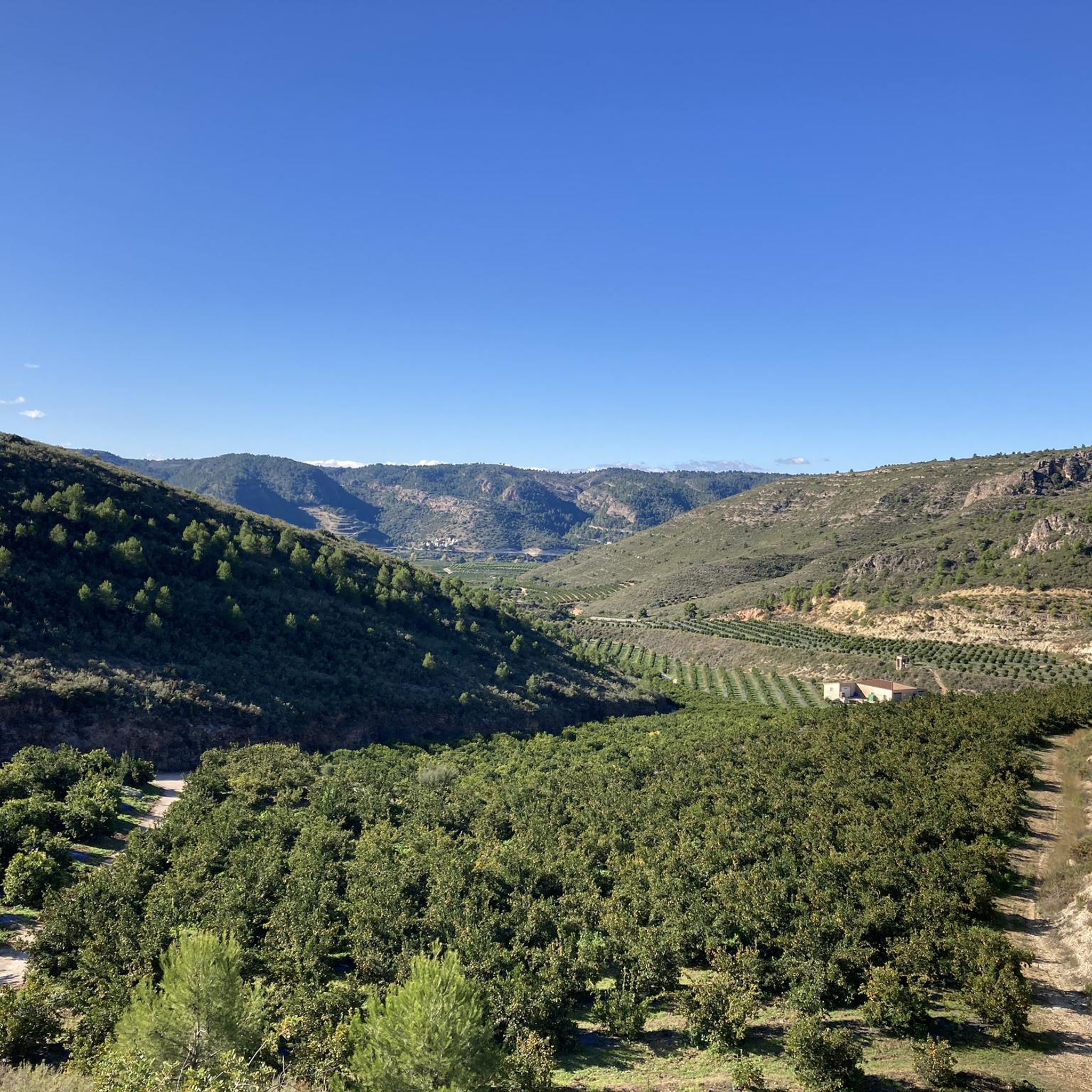
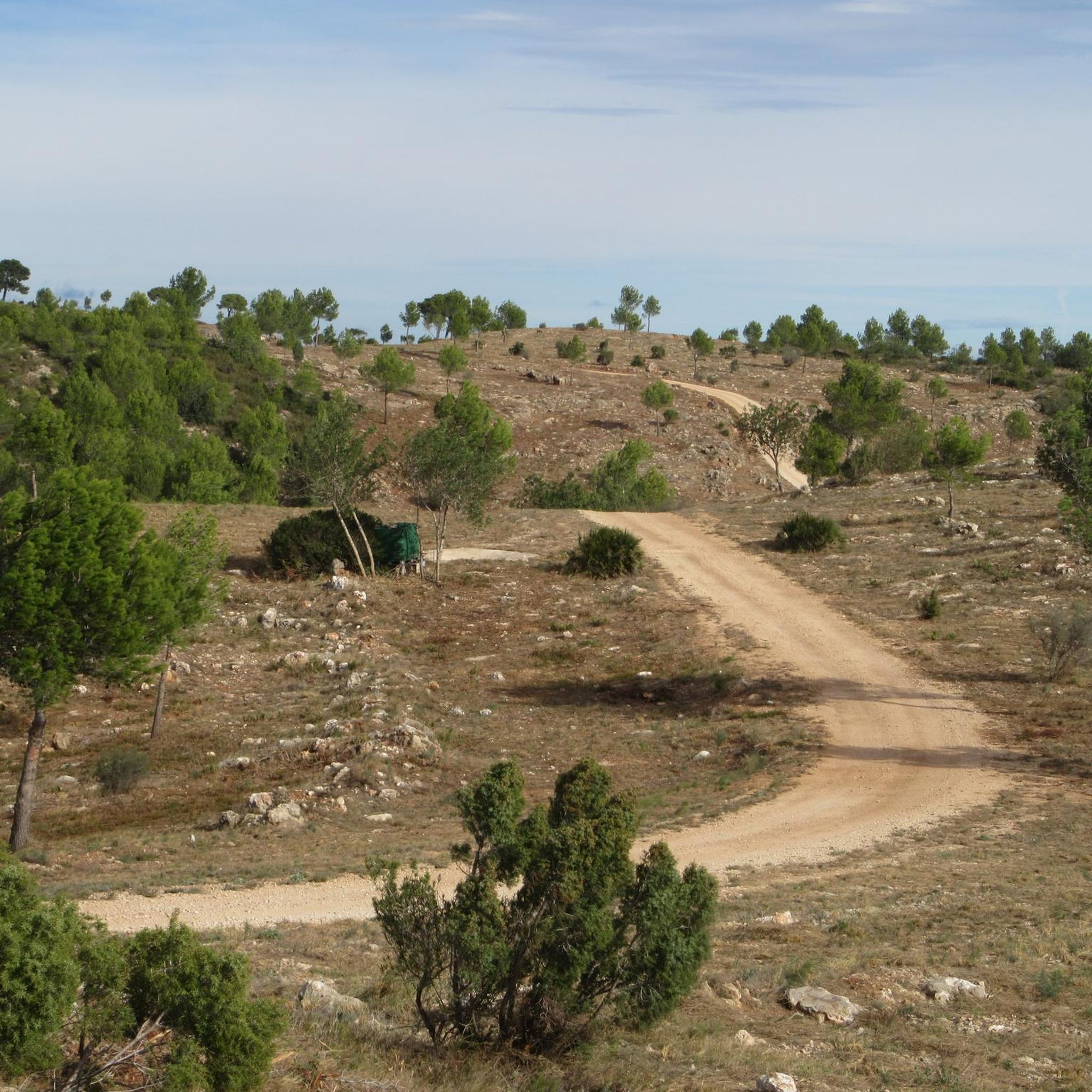
Road cycling routes around Castelló De La Ribera offer diverse terrain within the Valencian Community. The region features riverside paths along the Júcar River, providing relatively flat sections. Cyclists can also find more challenging ascents and varied landscapes, ranging from coastal areas to inland trails. This mix of terrain caters to different cycling preferences and skill levels.
Best road cycling routes around Castelló De La Ribera
- The most popular road cycling route is Ateneo Sueco del Socorro – Cullera Lighthouse…
Last updated: May 14, 2026
4.7
(6)
226
riders
78.7km
03:06
220m
220m
Moderate road ride. Good fitness required. Some segments of this route may be unpaved and difficult to ride.
99
riders
97.4km
04:33
1,150m
1,150m
Hard road ride. Very good fitness required. Mostly well-paved surfaces and easy to ride.

Sign up for free
40
riders
107km
05:07
1,290m
1,290m
Hard road ride. Very good fitness required. Mostly well-paved surfaces and easy to ride.
30
riders
128km
06:33
1,850m
1,850m
Hard road ride. Very good fitness required. Mostly well-paved surfaces and easy to ride.
12
riders
41.0km
01:44
110m
110m
Moderate road ride. Great for any fitness level. Some segments of this route may be unpaved and difficult to ride.
Get access to more routes and recommendations from other explorers.
Sign up for free
Already have an account?
Our route recommendations are based on thousands of hikes, rides, and runs completed by other people on komoot.
Start today with a free account
Your next adventure awaits.
Login or Signup

Tips from the Community

Mareny Barraquetes (in Valencian and officially, Mareny de Barraquetes) is a minor local entity of the Valencian Community, Spain, belonging to the province of Valencia. Formerly a district of the municipality of Sueca, since 1999 it has been an entity of territorial scope below the municipality (EATIM) belonging to said municipal term. Mareny de Barraquetes is located in the heart of the Albufera natural park and next to the sea. The nearest towns are Sueca 7 km (kilometers) away, 28 km from Valencia and 9 km from Cullera. Its toponym mareny means ‘marshland’, that is, an area very close to the sea and easily flooded. For its part, the term barraquetes indicates the type of habitat that was frequent throughout the area, huts built with reeds and mud, materials from the marshes and the dune cordon. The historical origin of the first human settlements in this area dates back to the period of Roman domination, when the Phocaean colonies were established near Sicania, with El Mareny de Barraquetes being one of them. It survived through the centuries, as an alquería, thus reaching the first historical antecedents, which are found in the first census of inhabitants that was made in Sueca in 1795, by governmental order for the preparation of the conscription, as Spain was at war against Revolutionary France of the Directory (1793-1795). Likewise, until the 1845 census, we do not have a specific list of residents from El Mareny, with nine huts. Its inhabitants are mainly engaged in agriculture. In the last century, the population nucleus based its economy mainly on fishing. There were three fishing settlements where families lived who were dedicated to freshwater fishing (in the canals coming from the Júcar). Until recently, there was a fishing settlement where this work continued, but with modern facilities.
0
0

very nice, good road and little traffic
0
0

Enjoy refreshing water in the adjacent pool. Open during the summer months. There's an entrance fee. See also: Anna Lagoon Lake | Anna City Council https://www.ayuntamientoanna.es/albufera-anna.
0
1
During the summer months of July and August, you must make a reservation via https://www.ontinyent.es/va/pagina/pou-clar. This is only possible for Spanish residents with a NI number. Once you have a reservation, you can take a bus from Ontinyent Poliesportiu Municipal to Pou Clar on weekends. There is no parking at Pou Clar during these months. Parking is available at Poliesportiu Municipal. From there, it's a walk of about 2 kilometers. And then you'll find yourself in a beautiful setting with wonderfully refreshing water.
1
0

From Enguera, it's 14.8 km at 3.3% with a maximum gradient of 9%, reaching the summit at 654 (754 according to the sign) meters above sea level after a 488-meter climb. It's a secondary road with little traffic in good condition. However, there's no shade. The last 12.4 km are marked with typical mountain pass signs in the CV.
0
0
From Enguera, it's 14.8 km at 3.3% with a maximum gradient of 9%, reaching the summit at 654 meters above sea level after a 488-meter climb. It's a secondary road with little traffic in good condition. There's no shade, however. The last 12.4 km are marked with typical mountain pass signs in the CV.
0
0

spectacular place to visit and take pictures!
0
0
Frequently Asked Questions
How many road cycling routes are available around Castelló De La Ribera?
There are 13 road cycling routes around Castelló De La Ribera, offering a variety of experiences. These include 5 easy, 3 moderate, and 5 difficult routes, catering to different skill levels.
What kind of terrain can I expect on road cycling routes in Castelló De La Ribera?
The region offers diverse terrain. You'll find relatively flat sections along the Júcar River, as well as more challenging ascents and varied landscapes that range from inland trails to routes with views towards the coast. This mix ensures options for various cycling preferences.
Are there routes suitable for beginners or less experienced road cyclists?
Yes, Castelló De La Ribera offers 5 easy road cycling routes. These are ideal for beginners or those looking for a more relaxed ride, often following riverside paths or less demanding terrain.
Are there challenging road cycling routes with significant climbs?
Absolutely. The area features 5 difficult road cycling routes with significant elevation gains. For example, the La Visteta Viewpoint – Port de Barx loop from Castelló includes nearly 1000 meters of ascent, leading to rewarding viewpoints.
What landmarks or viewpoints can I see along road cycling routes in the area?
Many routes offer scenic viewpoints and pass by historical landmarks. You might encounter the impressive Castell de Xàtiva, a significant historical castle, or enjoy coastal views towards the Cullera Lighthouse on routes like the Ateneo Sueco del Socorro – Cullera Lighthouse loop from Castelló. Other routes lead to places like the Sellent Viewpoint.
Are there any natural attractions like waterfalls accessible by road bike?
While not directly in Castelló de la Ribera, the wider Valencia province, accessible by road bike, features impressive natural attractions. The Anna Waterfalls Route, including the Gorgo de la Escalera and Vikings' Waterfall, offers scenic destinations for a ride. The Sellent Viewpoint – Albufera de Anna loop from Castelló can take you towards the Albufera de Anna, a natural park.
Can I find circular road cycling routes around Castelló De La Ribera?
Yes, many of the routes are designed as loops, allowing you to start and end in the same location. Examples include the Ateneo Sueco del Socorro – Cullera Lighthouse loop from Castelló and the La Visteta Viewpoint – Port de Barx loop from Castelló.
Are there longer road cycling routes, for example, around 50km or more?
Yes, several routes exceed 50km. For instance, the Ateneo Sueco del Socorro – Cullera Lighthouse loop from Castelló is over 100km, and the Sellent Viewpoint – Albufera de Anna loop from Castelló is nearly 100km, offering substantial distances for longer rides.
Is parking available for road cyclists in Castelló De La Ribera?
While specific parking areas for cyclists are not detailed, as a municipality, Castelló de la Ribera will have general public parking facilities available. It's advisable to check local parking regulations upon arrival.
What do other road cyclists enjoy most about the routes in Castelló De La Ribera?
The routes in Castelló De La Ribera are highly rated by the komoot community, with an average score of 4.5 stars from 44 reviews. Cyclists often praise the diverse terrain, which offers both riverside paths and challenging ascents, and the scenic views towards the coast and various viewpoints.
What is the best time of year for road cycling in Castelló De La Ribera?
The Valencian Community generally enjoys a mild climate, making spring and autumn ideal for road cycling. These seasons offer pleasant temperatures, avoiding the peak heat of summer and the cooler, potentially wetter days of winter, providing comfortable conditions for exploring the diverse landscapes.
Can I find places to stop for refreshments or accommodation along the routes?
The region around Castelló de la Ribera, being part of the Valencian Community, has various towns and villages along potential routes. These often provide opportunities for cafe stops, restaurants, and accommodation, especially in larger towns or popular tourist areas. Planning your route with potential stops in mind is recommended.
Most popular routes around Castelló De La Ribera
Most popular attractions around Castelló De La Ribera

Get inspired with the komoot mobile app


Explore more
Browse the best Road cycling routes in other regions.
