The best running trails around Sarrión
4.5
(19)
162
runners
29
runs
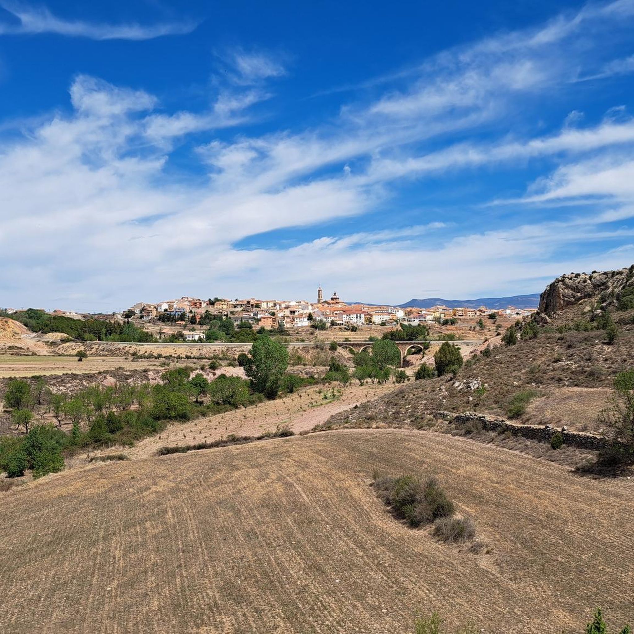
Jogging routes around Sarrión traverse a diverse landscape in the Teruel province of Spain, characterized by its natural features and historical greenways. The region offers a mix of terrains, from the extensive, relatively flat paths of the Vía Verde Ojos Negros to more challenging trails through forests and near ravines. Joggers can explore routes that pass by historical fortifications, water features, and charming villages, providing varied scenery for different fitness levels. The area's natural environment includes forests and river valleys,…
Last updated: October 1, 2026
4.06km
00:29
90m
90m
Easy run. Great for any fitness level. Mostly paved surfaces. Suitable for all skill levels.
6.65km
01:01
320m
320m
Hard run. Very good fitness required. Mostly paved surfaces. Suitable for all skill levels.

19
runners
11.9km
01:37
380m
380m
Hard run. Very good fitness required. Mostly paved surfaces. Suitable for all skill levels.
16
runners
25.3km
04:27
1,770m
1,770m
Hard run. Very good fitness required. Mostly paved surfaces. Suitable for all skill levels.
9
runners
10.9km
02:08
950m
950m
Hard run. Very good fitness required. Mostly paved surfaces. Suitable for all skill levels.
Get access to more routes and recommendations from other explorers.
Already have an account?
Our route recommendations are based on thousands of hikes, rides, and runs completed by other people on komoot.
Start today with a free account
Your next adventure awaits.
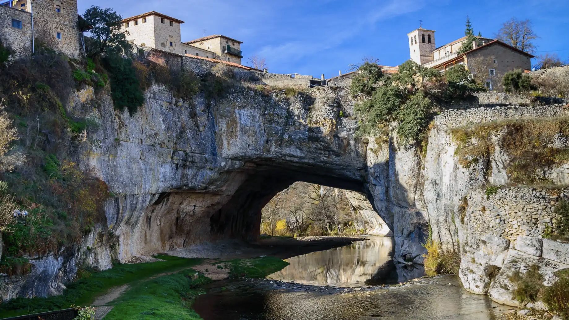
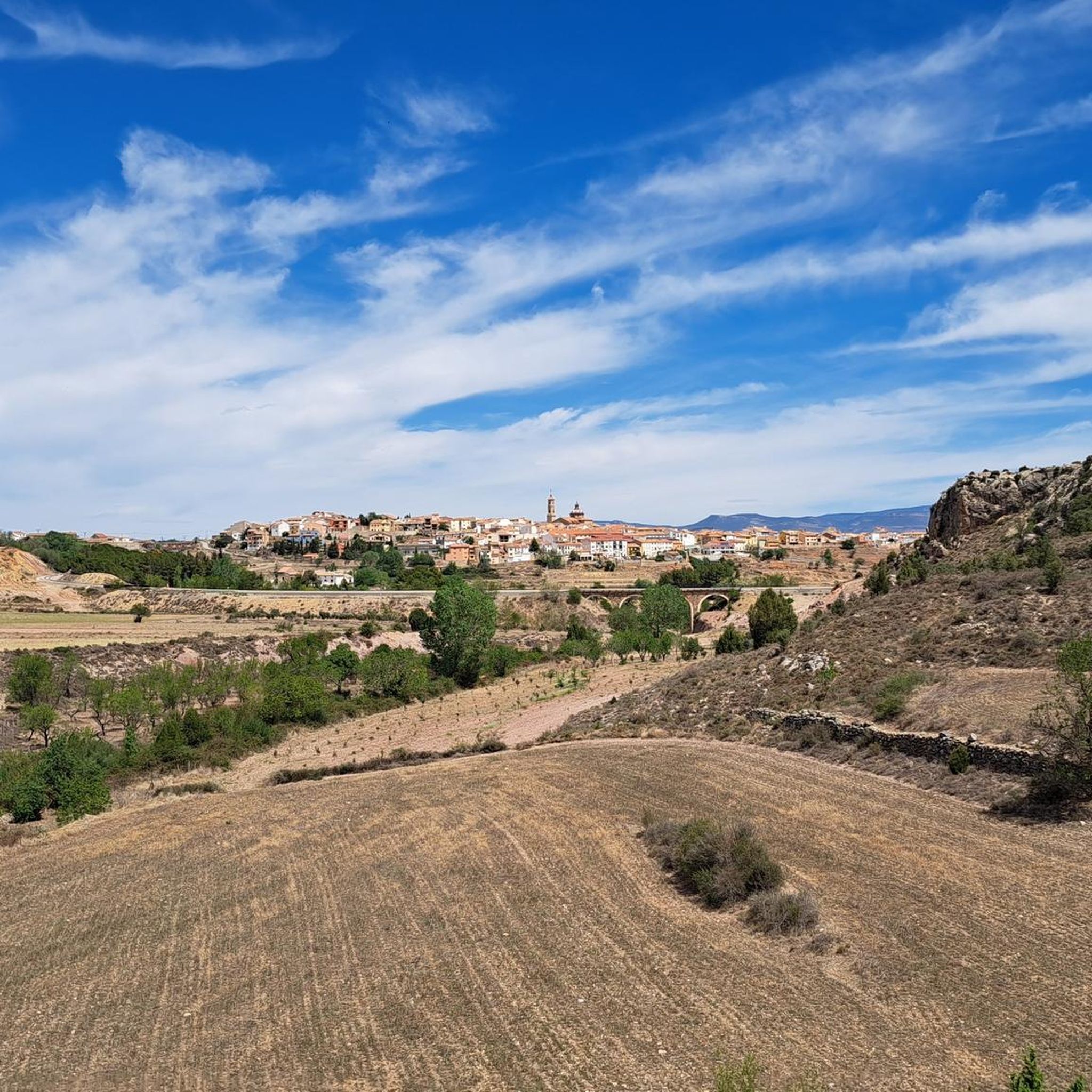
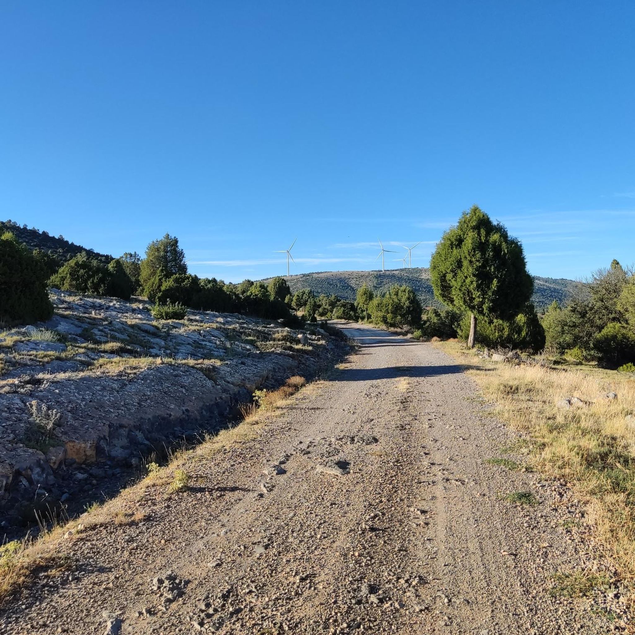

Other adventures around Sarrión

Tips from the Community

The small dam on the Mijares River Gorge, in the municipality of San Agustín (Teruel), is part of a natural setting of great scenic and geological value. Although it is not a large dam, it plays an important role in regulating water flow and in local hydroelectric power generation.
2
0
The Hoz del Río Mijares in San Agustín (Teruel) is a stunning natural setting located in the Gúdar-Javalambre region, ideal for lovers of hiking, geology, and spectacular landscapes.
2
0

The Rabadá and Navarro refuge is located in the heights of the Javalambre mountain range, very close to the ski resort. It has a capacity of 74 beds and offers blankets, heating, hot showers, food service and a bar.
1
0
There is a hiking route called “Las Hoces del Mijares” that you can explore. It is approximately 10.24 km long and offers stunning views.
9
0

The summit is 2019 meters high. The path is demanding, but it is worth the effort. The panoramic views of the surrounding mountains are like something out of a movie.
2
0


We are at Pico Javalambre at an altitude of 2,019 meters, considered a sacred mountain by many nature lovers and/or Turolenses. It is the highest peak of the mountain range that bears his name, it is considered by the majority of Teruel residents to be the roof of their province, although the true roof of Teruel is the top of Peñarroya. If we have the opportunity to climb here when there is no snow, we will be able to appreciate the so-called "leopard skin" caused by the vegetation on the entire surface of the massif, a work of art of nature!
2
0

The Javalambre Peak at 2,019 m is the highest in the mountain range that bears its name. It is considered by the majority of Teruel residents to be the roof of their province, although the true roof of Teruel is Peñarroya. At the top of Pico Javalambre, in addition to the enormous antenna that helps you orient yourself but destroys the landscape, there are other smaller antennas, apart from a track that reaches the same summit, some ski slopes next to it. All this spoils the beautiful surrounding landscape quite a bit.
1
0
Frequently Asked Questions
What types of running routes are available in Sarrión?
Sarrión offers a diverse range of running routes, from easy loops to more challenging long-distance trails. You'll find paths along historical greenways like the Vía Verde Ojos Negros, routes through forests and near ravines, and trails that pass by historical fortifications and water features. The region caters to various fitness levels, with options for both casual jogs and intense trail runs.
Are there running routes suitable for beginners or those looking for an easy jog?
Yes, Sarrión has options for easy jogs. For instance, the La Hoz Gorge Loop is an easy 4.0-mile (6.5 km) trail that offers a pleasant run through a scenic gorge. Additionally, the Ruta del Agua, mentioned in regional research, is an easy circular route within Sarrión itself, perfect for a lighter jog.
Can I find challenging running trails with significant elevation in Sarrión?
Absolutely. For experienced runners seeking a challenge, Sarrión and its surroundings offer difficult routes with notable elevation gains. An example is the Sima El Paúl – Castillo de Manzanera loop from Manzanera, a difficult 7.4-mile (11.9 km) path featuring significant elevation and varied terrain, including historical sites.
What natural features or landmarks can I see while running in Sarrión?
Running routes in Sarrión offer a blend of natural beauty and historical interest. You can encounter features like the extensive Vía Verde Ojos Negros, historical fortifications along the Ruta a las Trincheras, and various water features on the Ruta del Agua. Notable landmarks in the wider area include Pico Javalambre and Mora de Rubielos Castle, which can be part of longer running adventures.
Are there any circular running routes in the Sarrión area?
Yes, several circular running routes are available. The La Hoz Gorge Loop is a popular circular option. Another is the Javalambre – trail run circular from Javalambre Ski Resort, which is a difficult 6.6 km route with significant elevation.
What is the Vía Verde Ojos Negros like for running?
The Vía Verde Ojos Negros is an excellent option for running, especially for those who prefer relatively flat and extensive paths. As Spain's longest 'greenway,' the section passing through Sarrión offers diverse terrain, connecting towards La Puebla de Valverde or Albentosa. It's ideal for long-distance runs and enjoying the natural landscape without steep climbs.
Is Sarrión a good destination for family-friendly running or jogging?
Yes, Sarrión offers routes suitable for families. The easy, circular Ruta del Agua, which passes by various water features within the village, is a pleasant and accessible option for a lighter jog with family. The relatively flat sections of the Vía Verde Ojos Negros can also be adapted for family outings, offering a safe and scenic environment.
Can I bring my dog on the running trails in Sarrión?
While specific rules for each trail may vary, many outdoor areas in Spain, including greenways and natural paths, are generally dog-friendly, especially if dogs are kept on a leash. It's always recommended to check local signage or specific route descriptions for any restrictions before heading out with your dog.
What is the best time of year to go running in Sarrión?
Sarrión's climate makes spring and autumn generally the most pleasant seasons for running, with milder temperatures. Summer can be warm, especially midday, so early morning or late afternoon runs are advisable. Winter offers a different experience, with cooler temperatures, and some higher elevation trails might be affected by snow, particularly around areas like Pico Javalambre.
Are there parking facilities available near the trailheads in Sarrión?
Yes, many trailheads and popular starting points for running routes in Sarrión and the surrounding municipalities offer parking facilities. For routes like those accessing the Vía Verde Ojos Negros or starting from villages such as Manzanera or Mora de Rubielos, you can typically find designated parking areas. It's always a good idea to check the specific route details on komoot for parking information.
Are there places to eat or stay near the running routes in Sarrión?
Sarrión and nearby villages like Mora de Rubielos offer various amenities for visitors. You can find cafeterias, bars, restaurants, and accommodation options to refuel and rest after your run. These establishments are often conveniently located within the villages, providing easy access from many trailheads.
How many running routes are documented around Sarrión on komoot?
There are over 17 running routes documented around Sarrión on komoot, offering a wide selection for different preferences and fitness levels. This includes a mix of easy, moderate, and difficult trails, ensuring there's something for every runner.
Most popular attractions around Sarrión

Get inspired with the komoot mobile app


Explore more
Browse the best Running Trails & Routes in other regions.
