The best walks and hikes around Sarrión
4.6
(21)
156
hikers
46
hikes
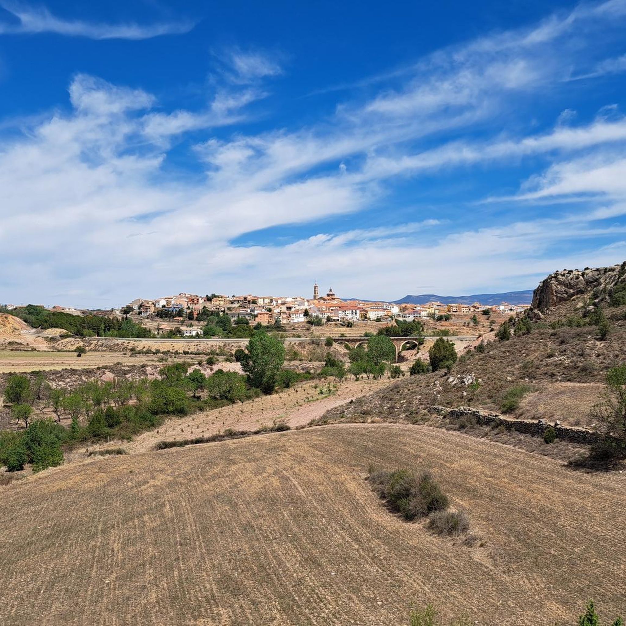
Hiking around Sarrión provides access to diverse trails within a landscape characterized by mountainous terrain, particularly around the Javalambre area, and river valleys. The region features natural attractions such as waterfalls and established long-distance trails like sections of the GR 10. This area serves as a base for exploring varied natural environments, offering routes that range from moderate to difficult.
Best hiking trails around Sarrión
- The most popular hiking route is Amanaderos Waterfalls and GR 10 Trail from Camarena de…
Last updated: October 1, 2026
3
hikers
9.18km
03:14
510m
510m
Moderate hike. Good fitness required. Easily-accessible paths. Suitable for all skill levels.
5.0
(2)
4
hikers
6.23km
01:43
100m
100m
Easy hike. Great for any fitness level. Easily-accessible paths. Suitable for all skill levels.

15
hikers
8.01km
02:10
110m
110m
Moderate hike. Good fitness required. Easily-accessible paths. Suitable for all skill levels.
6
hikers
5.73km
01:36
110m
110m
Easy hike. Great for any fitness level. Easily-accessible paths. Suitable for all skill levels.
5
hikers
Moderate hike. Good fitness required. Easily-accessible paths. Suitable for all skill levels.
Get access to more routes and recommendations from other explorers.
Already have an account?
Our route recommendations are based on thousands of hikes, rides, and runs completed by other people on komoot.
Start today with a free account
Your next adventure awaits.
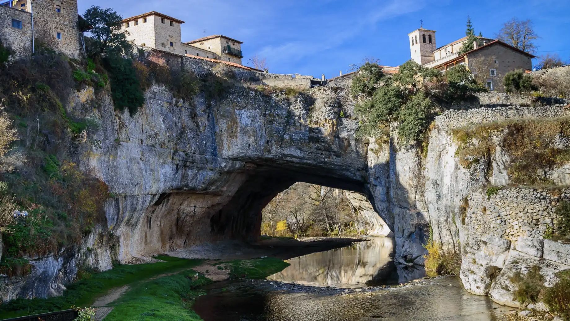
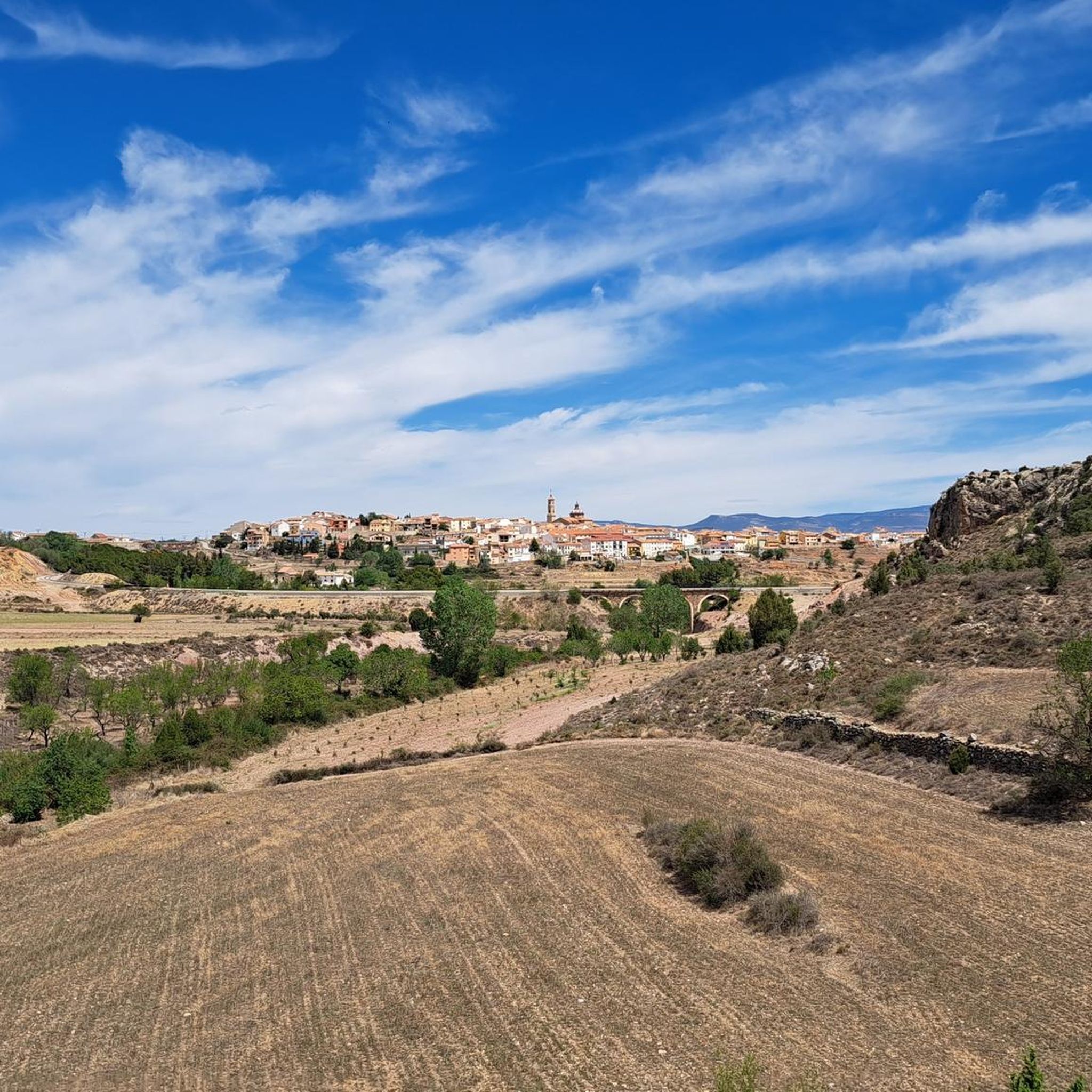
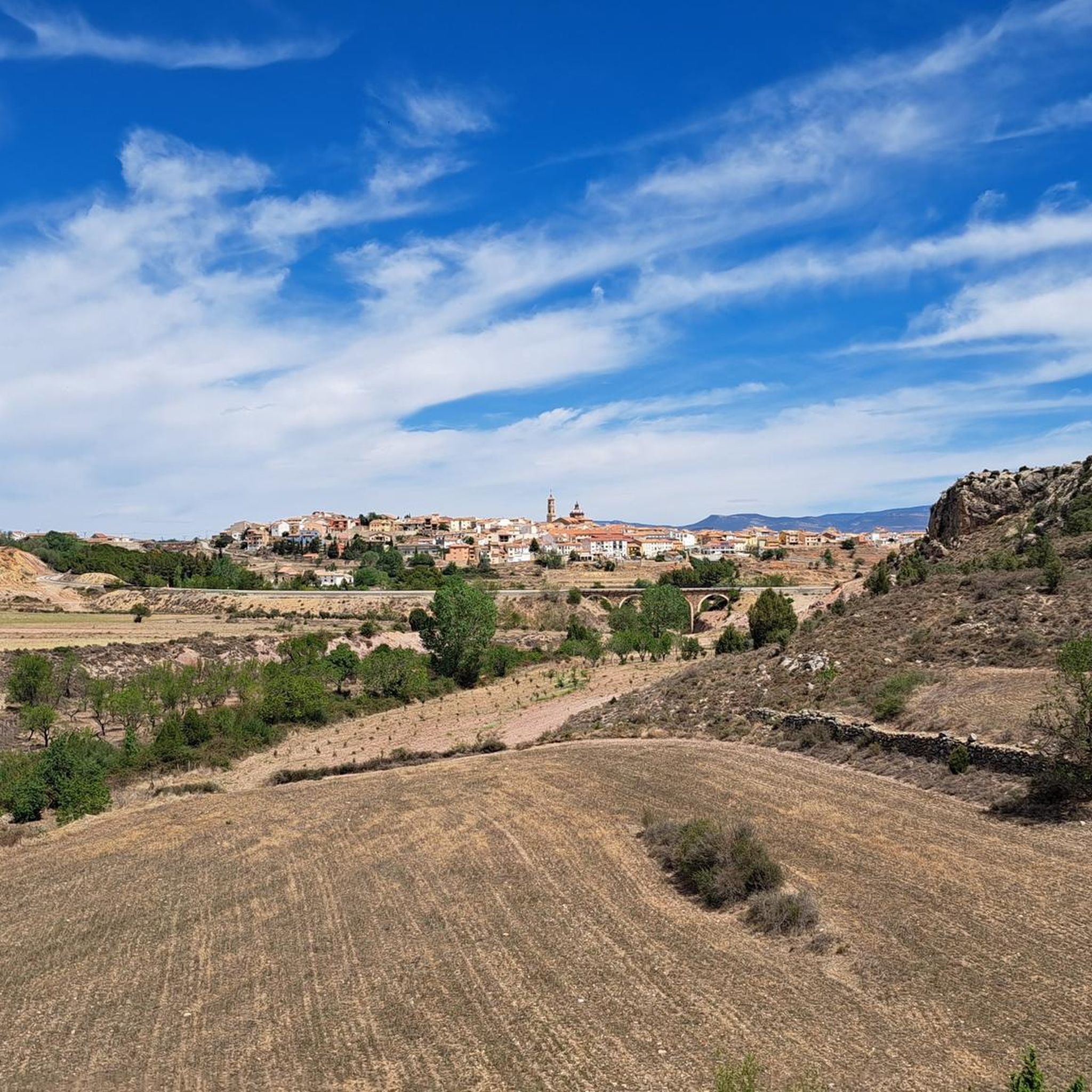
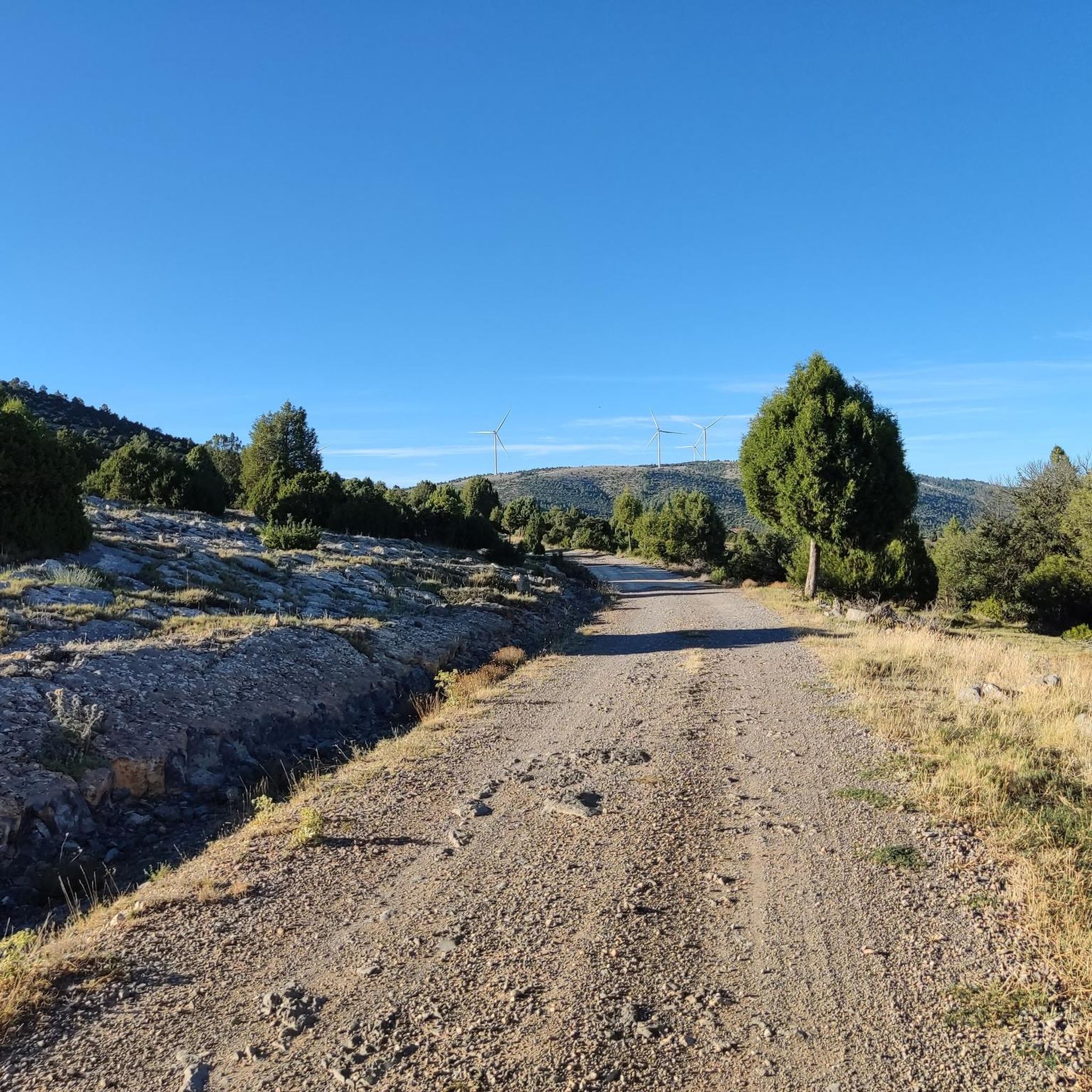

Other adventures around Sarrión

Tips from the Community

The Rabadá and Navarro refuge is located in the heights of the Javalambre mountain range, very close to the ski resort. It has a capacity of 74 beds and offers blankets, heating, hot showers, food service and a bar.
1
0


The summit is 2019 meters high. The path is demanding, but it is worth the effort. The panoramic views of the surrounding mountains are like something out of a movie.
2
0


We are at Pico Javalambre at an altitude of 2,019 meters, considered a sacred mountain by many nature lovers and/or Turolenses. It is the highest peak of the mountain range that bears his name, it is considered by the majority of Teruel residents to be the roof of their province, although the true roof of Teruel is the top of Peñarroya. If we have the opportunity to climb here when there is no snow, we will be able to appreciate the so-called "leopard skin" caused by the vegetation on the entire surface of the massif, a work of art of nature!
2
0

The Javalambre Peak at 2,019 m is the highest in the mountain range that bears its name. It is considered by the majority of Teruel residents to be the roof of their province, although the true roof of Teruel is Peñarroya. At the top of Pico Javalambre, in addition to the enormous antenna that helps you orient yourself but destroys the landscape, there are other smaller antennas, apart from a track that reaches the same summit, some ski slopes next to it. All this spoils the beautiful surrounding landscape quite a bit.
1
0

For many a sacred mountain and undoubtedly a reference of the province of Teruel. The top of Javalambre at 2019 masl offers very nice views in all directions. A few km away is the Javalmabre ski station, a very popular place in the winter season and from where you can start the ascent to the summit. If you go up here when there is no snow, you will be able to appreciate the curious "leopard skin" caused by the vegetation over the entire large area of the massif, a work of art of nature!
3
0
In the middle of the Sierra de Javalambre at 1360 meters above sea level is this picturesque town typical of the interior of Teruel. It has a valuable historical, cultural and gastronomic heritage that you have to discover in addition to offering several hiking tours in the area.
3
0
Frequently Asked Questions
How many hiking trails are available around Sarrión?
Sarrión offers a good selection of routes for hikers, with over 25 trails documented on komoot. These routes cater to various fitness levels, from easy walks to more challenging ascents through mountainous terrain and river valleys.
Are there any easy, family-friendly hikes near Sarrión?
Yes, there are several easy routes suitable for families. One option is the La Hoz del Rio Mijares – circular until the Barranco de Linares, which is an easy 3.0-mile trail leading through river gorges and natural landscapes. Another easy circular route is the Torrijas - circular route on the Cholesterol Route.
Can I find circular hiking routes in the Sarrión area?
Absolutely. Many trails around Sarrión are designed as circular routes, allowing you to start and end in the same location. Examples include the easy La Hoz del Rio Mijares – circular until the Barranco de Linares, the moderate Javalambre – circular from Javalambre Station via Rabadá y Navarro Refuge, and the Torrijas - circular route on the Cholesterol Route.
Are there any hikes that feature waterfalls near Sarrión?
Yes, the region is known for its natural features, including stunning cascades. The challenging Amanaderos Waterfalls and GR 10 Trail from Camarena de la Sierra is a notable route specifically known for its beautiful waterfalls and lush forests.
What kind of terrain can I expect on hikes around Sarrión?
Hiking around Sarrión offers diverse terrain, characterized by mountainous areas, particularly around the Javalambre region, river valleys, and pine forests. You'll encounter a mix of landscapes, from gentle paths along rivers to more rugged ascents in higher elevations.
What are some notable landmarks or points of interest I can see while hiking near Sarrión?
The area around Sarrión offers several interesting landmarks. You can explore the historic Mora de Rubielos Castle, or enjoy views from the Views of the Linares Gorge. For those seeking higher elevations, Pico Javalambre is a prominent summit in the region.
What do other hikers say about the trails in Sarrión?
The hiking trails in Sarrión are highly regarded by the komoot community, holding an average rating of 4.6 stars from over 15 reviews. Hikers often praise the varied terrain, from river gorges to mountainous views, and the well-maintained paths that offer options for all skill levels.
Are there any trails that pass by historical sites or castles?
Yes, you can combine hiking with historical exploration. The moderate Mora de Rubielos – Mora de Rubielos Castle loop from Mora de Rubielos takes you past the impressive Mora de Rubielos Castle, offering a blend of natural beauty and cultural heritage.
Are there any facilities like picnic areas along the trails?
Yes, for your convenience, you can find facilities such as the Albentosa Picnic Area, which can be a great spot to rest and refuel during your hike.
What is the best time of year to go hiking in Sarrión?
Sarrión offers hiking opportunities throughout much of the year. Spring and autumn generally provide the most pleasant temperatures for hiking. While the Javalambre area is known for its ski station, indicating winter sports, the lower elevation trails can still be accessible during milder winter days. Always check local weather conditions before heading out.
Are there any long-distance trails accessible from Sarrión?
Yes, the region provides access to established long-distance routes. The Amanaderos Waterfalls and GR 10 Trail from Camarena de la Sierra incorporates a section of the GR 10, a well-known long-distance path, offering a more extensive hiking experience.
Most popular attractions around Sarrión

Get inspired with the komoot mobile app


Explore more
Browse the best Hikes in other regions.
