The best walks and hikes around Maià De Montcal
4.3
(699)
5,024
hikers
218
hikes
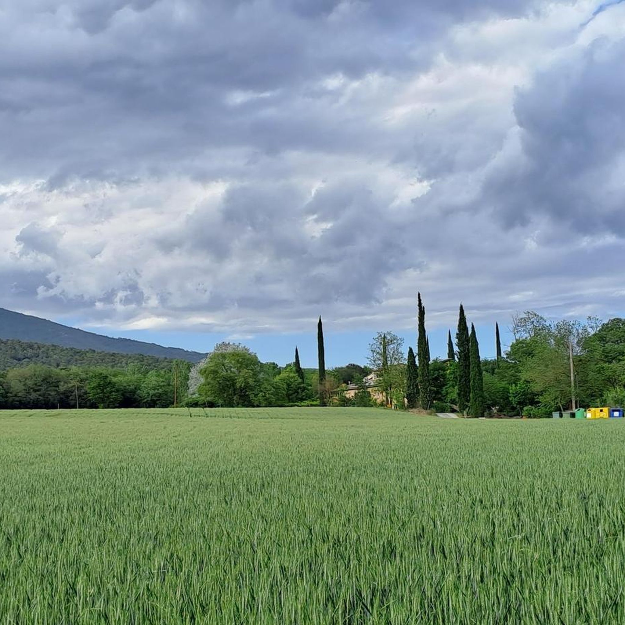
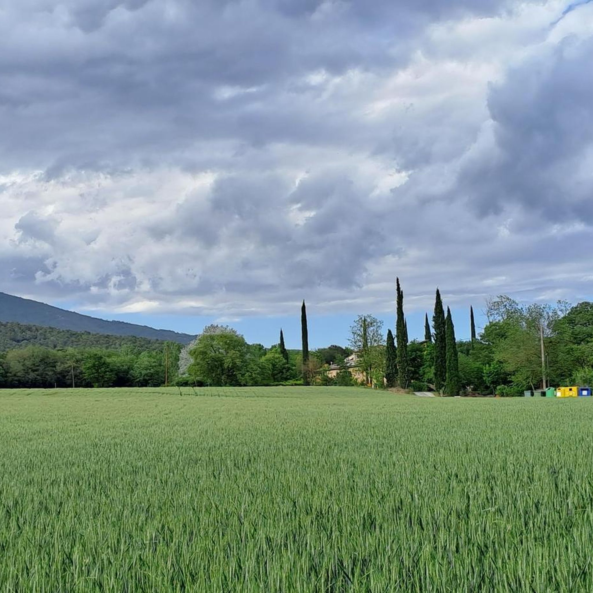
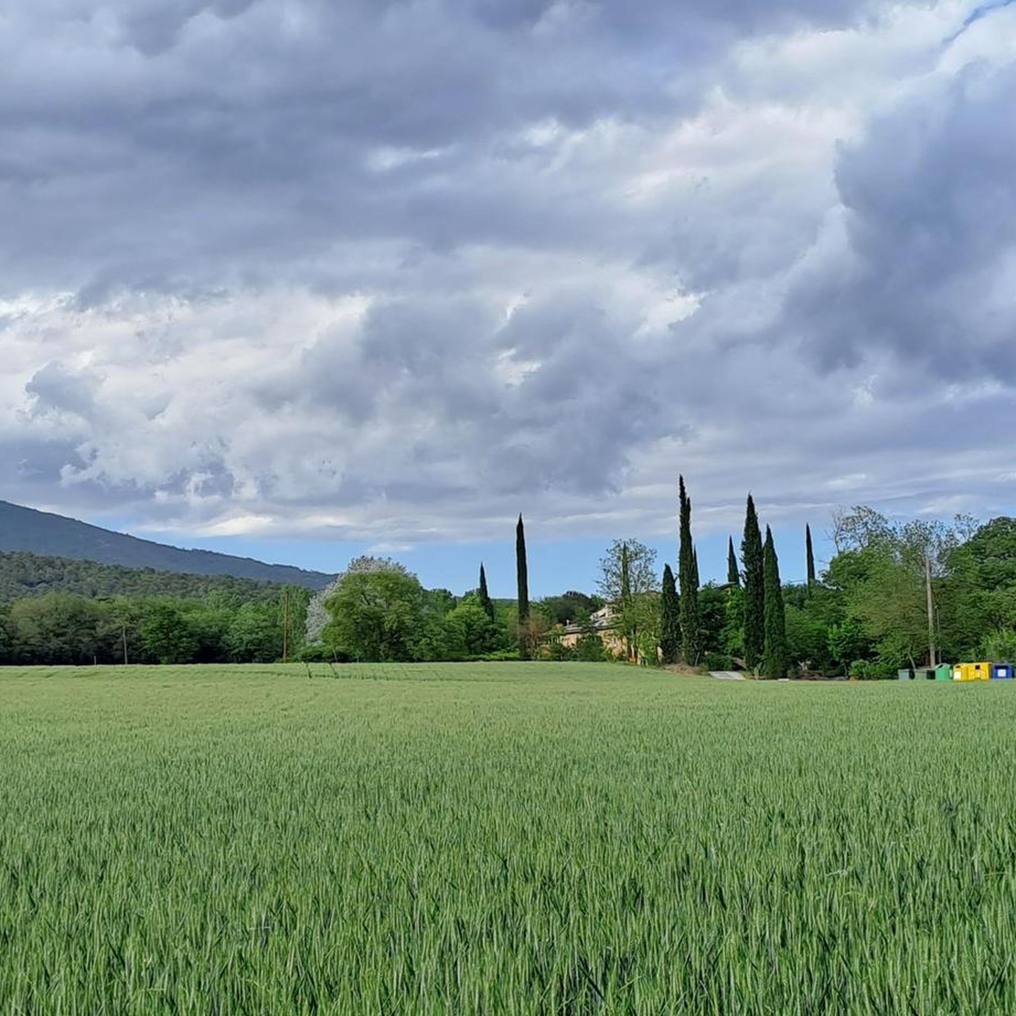
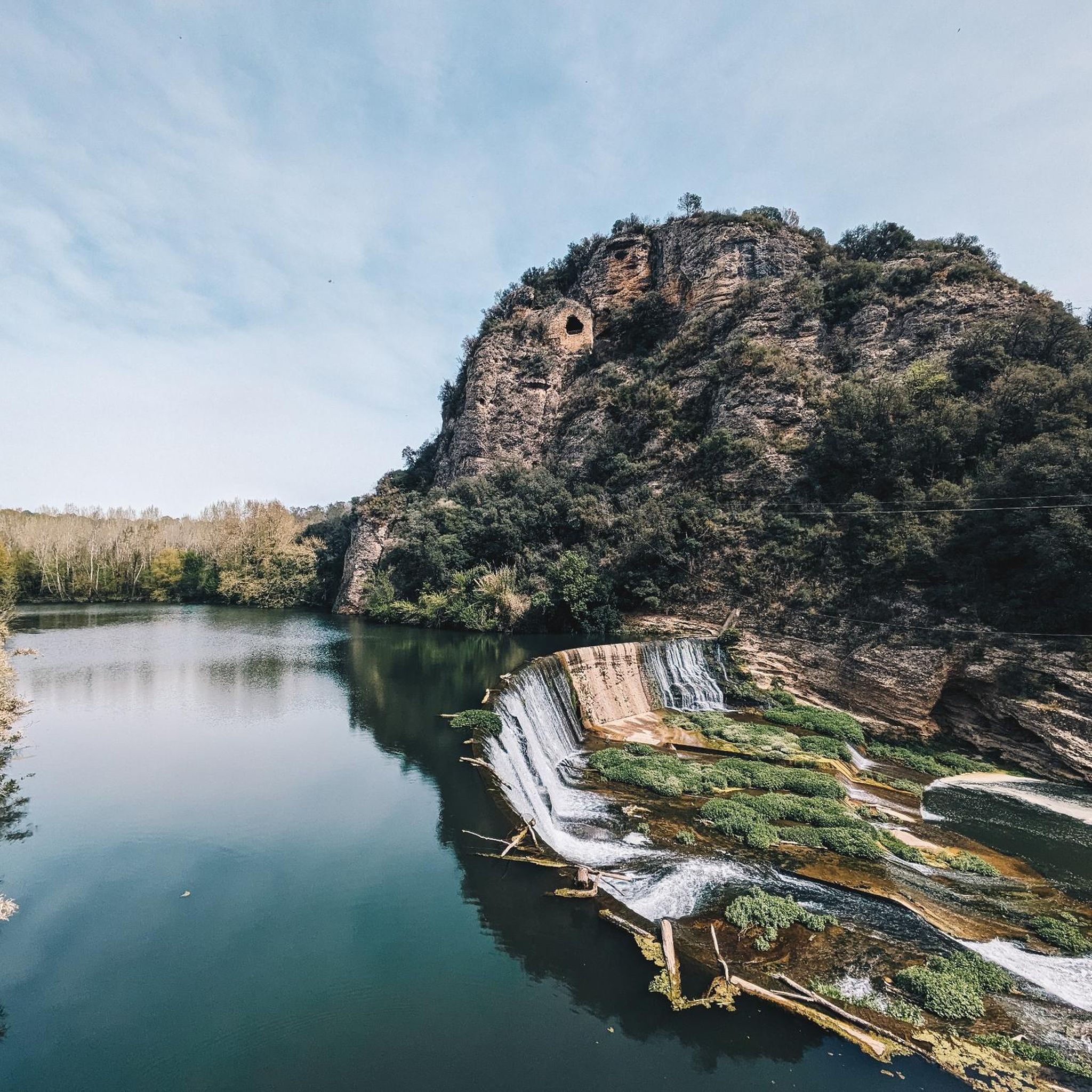
Hiking around Maià De Montcal offers diverse natural landscapes within the Garrotxa comarca of Girona province. The terrain features the Fluvià river and its tributaries, bordered by extensive poplar plantations, and is largely covered by holm oak and cork oak forests. The area is characterized by mountains such as Montcal (545m) and Mont (1124m) to the west and north, alongside smaller hills to the east, providing varied elevations for hiking.
Best hiking trails around Maià De Montcal
- The most popular…
Last updated: August 5, 2026
4.3
(15)
171
hikers
9.59km
04:37
750m
750m
Moderate hike. Good fitness required. Mostly accessible paths. Sure-footedness required.
4.5
(11)
65
hikers
12.1km
05:16
790m
790m
Hard hike. Very good fitness required. Mostly accessible paths. Sure-footedness required.

Sign up for free
3.6
(10)
37
hikers
5.46km
01:34
110m
110m
Easy hike. Great for any fitness level. Easily-accessible paths. Suitable for all skill levels.
4.3
(18)
48
hikers
9.03km
02:35
220m
220m
Moderate hike. Good fitness required. Easily-accessible paths. Suitable for all skill levels.
4.0
(10)
28
hikers
13.9km
03:42
150m
150m
Moderate hike. Good fitness required. Easily-accessible paths. Suitable for all skill levels.
Get access to more routes and recommendations from other explorers.
Sign up for free
Already have an account?
Our route recommendations are based on thousands of hikes, rides, and runs completed by other people on komoot.
Start today with a free account
Your next adventure awaits.
Login or Signup

Tips from the Community

Població romànica en què la tradició històrica comtal es barreja amb elements de la comunitat jueva que hi visqué durant l’edat mitjana. Cal destacar-ne el majestuós pont. Per a més informació: https://costabrava.org/on-anar/comarques/garrotxa/besalu/
0
0

The church has a basilica-like floor plan with three naves, a crossing, and three semicircular apses. The central nave is higher than the side aisles and has a slightly pointed barrel vault. The side aisles, in contrast, have quarter-circle vaults. The main facade of the church features a striking Gothic stained-glass window and a rose window above it. On one of the side walls is the imposing and very well-preserved Romanesque St. Raphael Portal. Inside, it houses the Gothic tomb of Father de Rovira, who brought the relics of the martyr St. Vincent here in the 15th century.
5
0
The monastery of Sant Pere was founded in 977 by Bishop-Count Miró I and consecrated in 1003 by Count Bernhard I, also known as Taillefer. A Benedictine community of twelve monks lived there. However, with Count Taillefer's death in 1020, the decline of the count's rule began, culminating in its final demise in 1111. From then on, the abbot of the monastery became the highest authority over the population, which gave the Church considerable political influence in the 12th and 13th centuries.
5
0
A beautiful old and historic village. The bridge is sensational. The place has often served as a film set. The narrow streets and everything around it are simply impressive. Definitely worth a visit.
6
0

You can drive up, but I recommend walking up from Beuda, a beautiful hike of moderate difficulty.
0
0
The bar is closed on Mondays and Tuesdays. The restaurant is closed from Monday to Thursday, Spectacular 360° views of the Pyrenees, Garrotxa, Montseny Banyoles and the Pla de l'Estany.
0
0

The restaurant has a terrace with very good views. You can eat there very well and at a good price!
0
0

... only a few meters away there is a parking lot, this is also designated for mobile homes, absolutely recommended for an overnight stay, waste disposal is available!!!!!
0
0
Frequently Asked Questions
How many hiking trails are available around Maià De Montcal?
There are over 200 hiking routes in the Maià De Montcal area, catering to various skill levels. You'll find a good mix, with over 80 easy routes, more than 110 moderate trails, and around 15 difficult options for experienced hikers.
What kind of terrain can I expect when hiking in Maià De Montcal?
The terrain around Maià De Montcal is diverse, featuring rugged mountains like Montcal (545m) and Mont (1124m), alongside smaller hills. The Fluvià river and its tributaries create fertile riverine areas with poplar plantations, contrasting with extensive holm oak and cork oak forests. You can expect varied elevations, from gentle riverside paths to challenging mountain ascents.
Are there any family-friendly hiking options in Maià De Montcal?
Yes, Maià De Montcal offers several easy and accessible paths suitable for families. For instance, the Besalú Bridge – Pont Vell of Besalú loop from Besalú is an easy 5.4 km route that explores historical landmarks and is generally completed in under 1.5 hours, making it ideal for families. Another easy option is the Pla de Martís – Estany d'Espolla loop from Esponellà, which is mostly flat.
What historical or natural landmarks can I see along the hiking trails?
Maià De Montcal is rich in both natural beauty and cultural heritage. You can explore sites like the 10th-century Sant Vicenç church, the 12th-century Santa Magdalena de Maià sanctuary, and the 18th-century chapel of Sant Prim i Sant Felicià. The area also features impressive natural landmarks such as the Fluvià river and various peaks offering panoramic views. For specific historical sites, consider visiting Navata (medieval town) or the Castell d'Esponellà.
Are there any circular walks available in the area?
Yes, many routes around Maià De Montcal are circular, offering convenient starting and ending points. Examples include the Castellot Area – Salve Regina loop from Beuda, a moderate 9.6 km trail, or the more challenging Castellot Area – Rocapastora Cliff loop from Beuda, which is 12.1 km long. The El Fluvio loop from Pedrinyà is another moderate circular option.
What do other hikers say about the trails in Maià De Montcal?
The hiking trails in Maià De Montcal are highly regarded by the komoot community, with an average rating of 4.4 stars from over 600 reviews. Hikers often praise the diverse landscapes, the blend of natural beauty with Romanesque architecture, and the variety of routes suitable for different fitness levels. Over 4000 hikers have used komoot to explore this region.
What are some notable natural features or viewpoints in the region?
The region is characterized by its mountainous environment, including peaks like Montcal (545m) and Mont (1124m) which offer excellent viewpoints. The Fluvià river and its streams contribute to lush riverine vegetation, providing scenic contrasts to the holm oak and cork oak forests. The 'Ruta 1 Maià de Montcal' is even known as 'The Balcony of La Garrotxa' for its panoramic vistas.
Are there any lakes or water features near the hiking routes?
Yes, the region features several beautiful water bodies. The Fluvià river runs through the municipality, and you can find highlights like Lake Banyoles nearby, which is a significant natural attraction. The Pla de Martís – Estany d'Espolla loop from Esponellà specifically takes you near the Estany d'Espolla.
What is the best time of year to go hiking in Maià De Montcal?
Maià De Montcal offers pleasant hiking conditions throughout much of the year. Spring and autumn are particularly ideal, with mild temperatures and vibrant natural colors. Summer can be warm, but shaded forest trails and riverside walks provide cooler options. Winter hiking is also possible, though some higher elevation routes might require more preparation.
Are there any long-distance paths that pass through Maià De Montcal?
Yes, the well-known GR 2 Long-Distance Path (Sender de Gran Recorregut GR 2) traverses the municipality of Maià De Montcal. This offers extensive trekking opportunities for those looking for multi-day hikes or longer sections of a trail.
What are the typical elevation gains on hikes in Maià De Montcal?
Elevation gains vary significantly depending on the route. Easy trails, like the Besalú Bridge – Pont Vell of Besalú loop, have minimal elevation gain (around 70m). Moderate routes, such as the Castellot Area – Salve Regina loop, can involve substantial climbs of around 750m. More difficult trails, like the Castellot Area – Rocapastora Cliff loop, feature elevation gains close to 800m.
Most popular routes around Maià De Montcal
Most popular attractions around Maià De Montcal

Get inspired with the komoot mobile app


Explore more
Browse the best Hikes in other regions.
